The best walks and hikes around Spittle Quarter
4.8
(10)
100
hikers
11
hikes
Hiking around Spittle Quarter offers routes that explore the region's coastal paths and inland waterways. The area is characterized by generally flat terrain with low elevation, featuring walks along the Quoile River, around loughs, and on sections of the Lecale Way. These trails provide a mix of waterside scenery and rural landscapes.
Best hiking trails around Spittle Quarter
- The most popular hiking route is the Lough Money loop from St. Patrick's Road, a 7.3 mile (11.8 km) trail that…
Last updated: May 15, 2026
4.5
(2)
19
hikers
Moderate hike. Good fitness required. Easily-accessible paths. Suitable for all skill levels.
11.8km
03:09
140m
140m
Moderate hike. Good fitness required. Mostly accessible paths. Sure-footedness required.

Sign up for free
1
hikers
3.76km
00:58
10m
10m
Easy hike. Great for any fitness level. Easily-accessible paths. Suitable for all skill levels.
5.0
(1)
15
hikers
5.12km
01:18
10m
10m
Easy hike. Great for any fitness level. Easily-accessible paths. Suitable for all skill levels.
5.0
(1)
6
hikers
6.54km
01:41
30m
30m
Easy hike. Great for any fitness level. Easily-accessible paths. Suitable for all skill levels.
Get access to more routes and recommendations from other explorers.
Sign up for free
Already have an account?
Our route recommendations are based on thousands of hikes, rides, and runs completed by other people on komoot.
Start today with a free account
Your next adventure awaits.
Login or Signup
Popular around Spittle Quarter

Tips from the Community

The vast coastline stretches out endlessly before you, and the panorama with the majestic Mourne Hills in the background creates a scene that is hard to put into words. The gentle waves touching the sand and the silence of the surroundings make you feel the vastness and freedom of this place.
1
0

Here is a great vantage point to enjoy the best of the sensational River Quoile. Enjoy beautiful scenery of rounded hills and marshes as you pass the tranquil riverside and keep your eyes peeled for local bird and wildlife that are often seeing relaxing on the water.
2
0
Portnacoo is a small cove with a raised beach found along the Ballyhornan to Sheeplands path in Northern Ireland. It's a lovely spot to stop and have some lunch, or you could even brave a swim.
2
0
St Patrick's Well stands on a seashore near the townlands of Ardtole and Sheepland East on the Northern Ireland coast. The well is said to have healing properties and has been an ancient site of pilgrimage for many years.
0
0

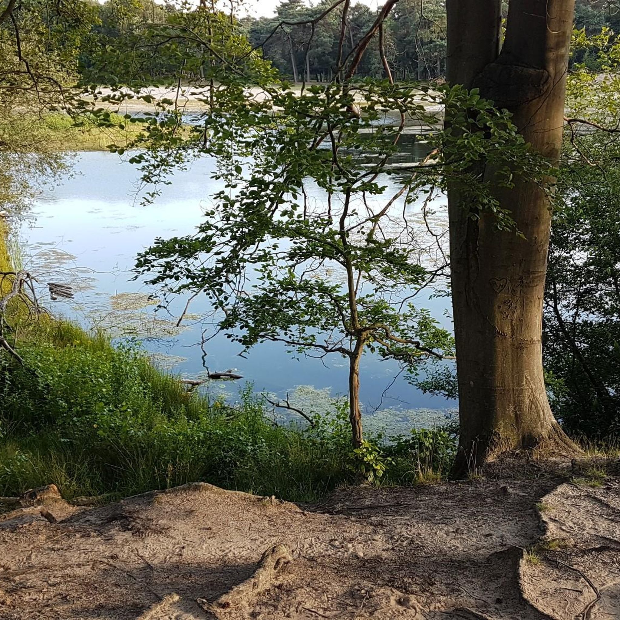
Lough Money, nestled in County Antrim, is a picturesque freshwater lake. Surrounded by lush greenery and offering tranquillity, it's a favoured spot for fishing, picnics, and nature enthusiasts.
1
0
Quoile Bridge is a six arch stone bridge that runs over the River Quoile. The bridge was built around 1680 and may be one of the oldest bridges in County Down!
3
0
Here is a great vantage point to enjoy the best of the sensational River Quoile. Enjoy beautiful scenery of rounded hills and marshes as you pass the tranquil riverside and keep your eyes peeled for local bird and wildlife that is often seeing relaxing on the water.
2
0

Beautiful views across the bay to the Mourne Hills AONB from the fine sandy beach.
2
0
Frequently Asked Questions
What is the terrain like for hikes around Spittle Quarter?
The hiking terrain around Spittle Quarter is generally gentle and low-lying. Most routes follow coastal paths, inland waterways like the Quoile River, and trails around loughs. You can expect a mix of waterside scenery and rural landscapes with minimal elevation gain, making it accessible for most fitness levels.
Are there any good circular walks in the area?
Yes, there are several enjoyable circular walks. A great option is the Lough Money loop from St. Patrick's Road, which is a moderate walk of about 7.3 miles (11.8 km) around the perimeter of the lough.
Can I bring my dog on the trails?
Many trails in the area are suitable for hiking with a dog, especially the open paths along the coast and rivers. However, you will likely cross agricultural land with livestock. It is essential to keep your dog on a lead and under control at all times to ensure the safety of wildlife and farm animals.
Are there any easy, family-friendly hikes near Spittle Quarter?
Absolutely. The region has several easy hikes perfect for a family outing. For a shorter, pleasant walk, consider the Quoile River loop — Strangford & Lecale. It's a flat, 2.3-mile (3.8 km) trail along the riverbank that's manageable for walkers of all ages.
How do other hikers rate the trails in Spittle Quarter?
The trails around Spittle Quarter are highly regarded by the komoot community, with an average rating of 4.8 stars. Hikers often praise the scenic waterside views and the mix of coastal and countryside paths.
Are there any challenging hikes available?
The hikes in this specific area are primarily easy to moderate, focusing on gentle terrain and waterside walks. There are no difficult, high-altitude mountain treks starting directly from Spittle Quarter. For a longer, more demanding day out, you could try the Quoile Bridge – Quoile River loop from Saul, which covers more ground.
Can I get to the trailheads using public transport?
Accessing trailheads by public transport can be challenging as the area is quite rural. Some routes may be reachable via bus services to nearby towns like Downpatrick, but you will likely need to walk a fair distance to the start of the trail. Using a car is generally the most convenient way to access the hikes.
Is there free parking available for the hikes?
Yes, you can often find free parking in small designated car parks or lay-bys near the start of many popular trails, particularly those beginning near coastal areas or local attractions. However, these spots can fill up quickly on weekends, so arriving early is a good idea.
Are there any coastal walks in the area?
Yes, coastal walking is a key feature of the region. A popular route that includes a beautiful section of the coast is the Ballyhornan to St Patrick's Well via Lecale Way. This trail follows part of a well-known coastal path, offering great sea views.
What should I pack for a day hike in Spittle Quarter?
For a day hike here, comfortable, waterproof walking shoes are essential as paths can be muddy, especially near the river. The weather can change quickly, so packing waterproof outerwear is always wise, even on a clear day.
Also, be sure to bring enough water and some snacks, as there are limited facilities along most of the rural trails.
Are the hiking paths well-marked?
Many of the main trails, especially sections that are part of established long-distance paths like the Lecale Way, are generally well-signposted. However, some smaller, local paths may be less clearly marked. We always recommend downloading the route to your phone or GPS device before you set off to help with navigation.
Most popular routes around Spittle Quarter
Most popular attractions around Spittle Quarter

Get inspired with the komoot mobile app


Explore more
Browse the best Hikes in other regions.
