The best mountain hikes around Plankenfels
5.0
(4)
44
hikers
2
hikes
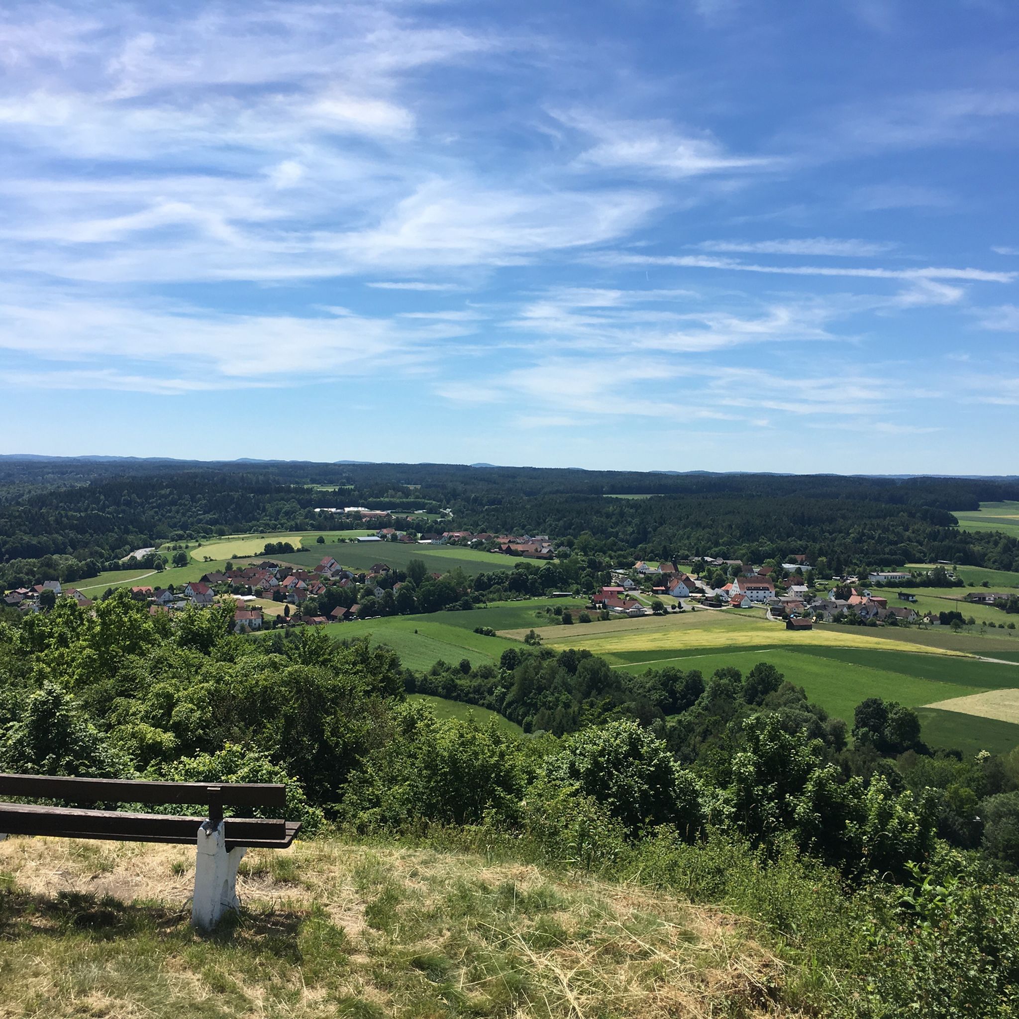
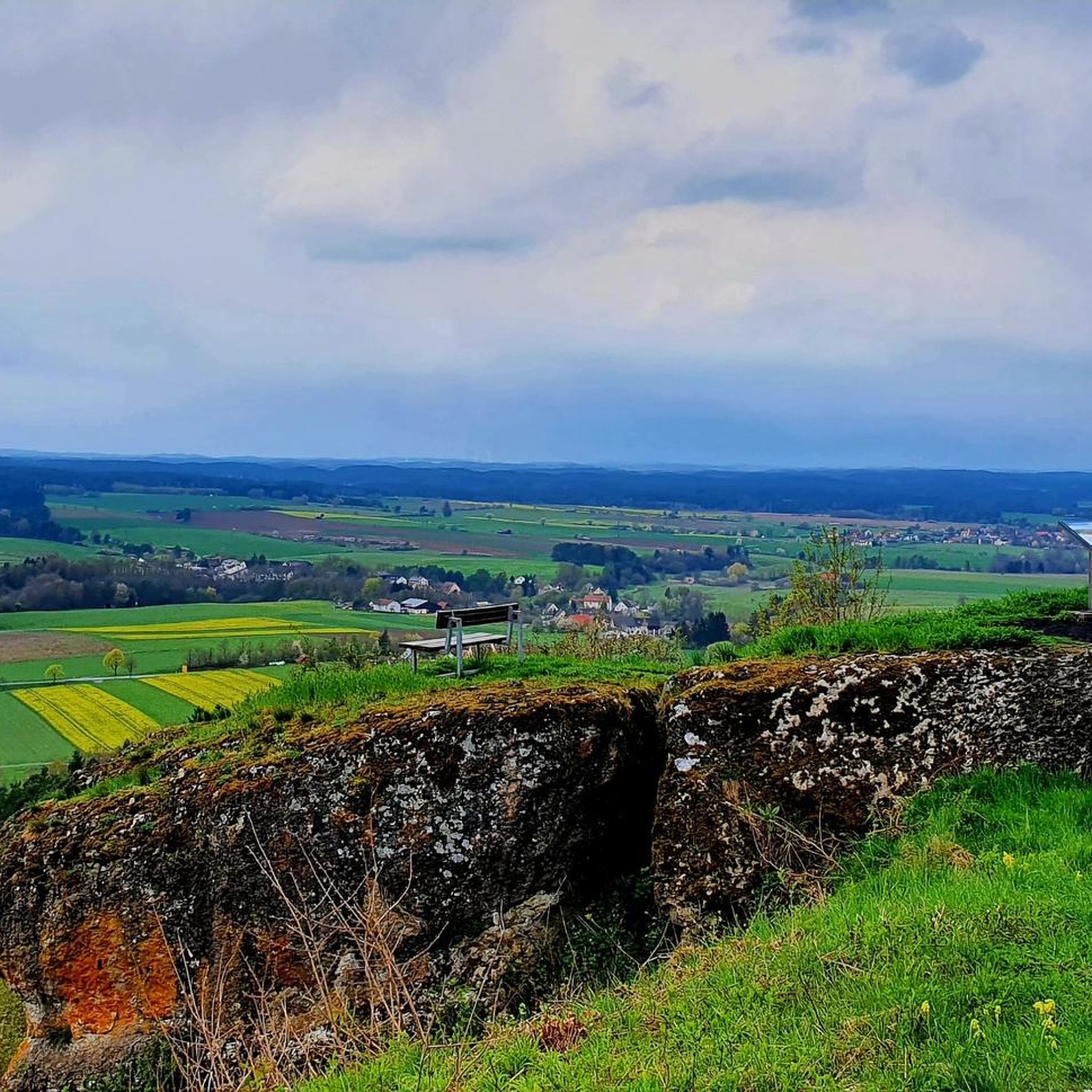
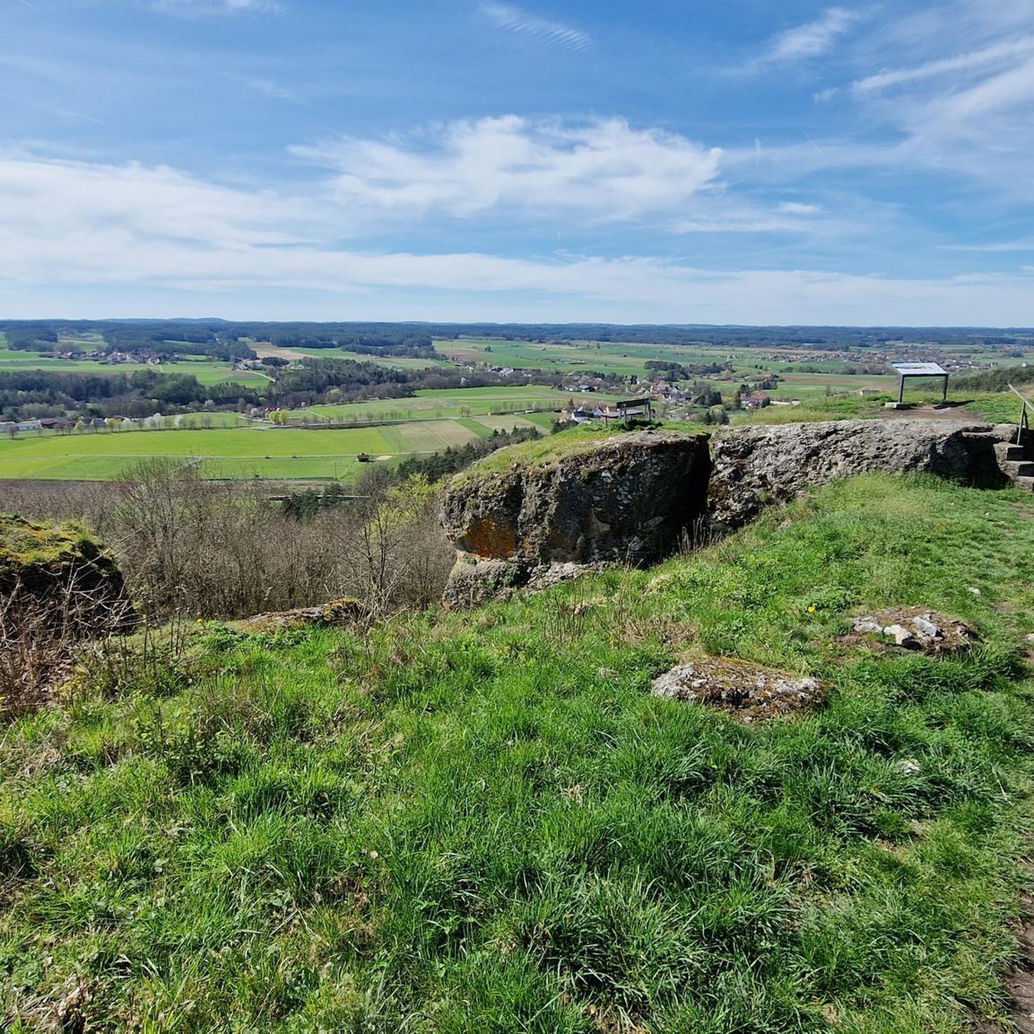
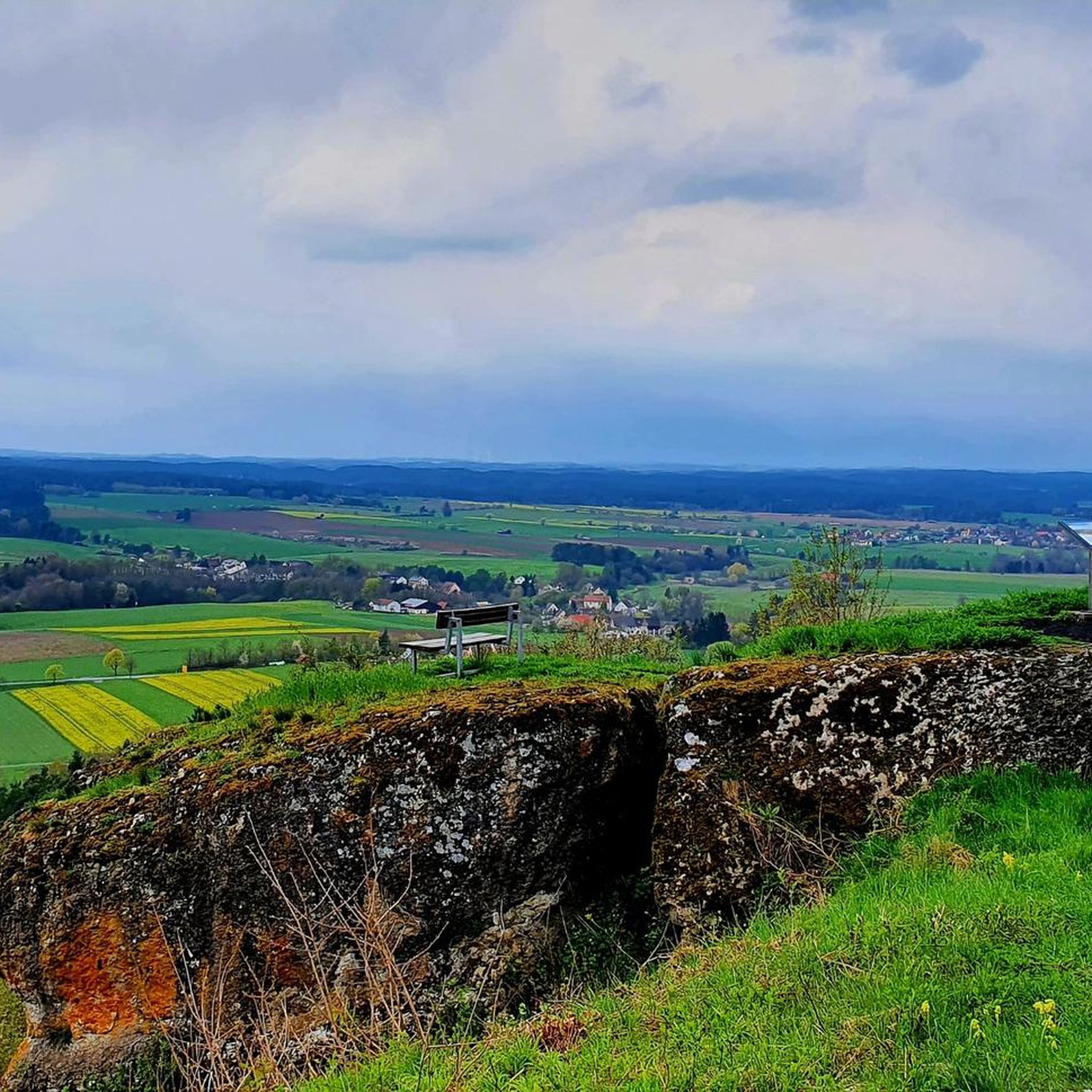
Mountaineering routes around Plankenfels are situated in the heart of Franconian Switzerland, a region characterized by its preserved rural charm and diverse natural surroundings. The landscape features the convergence of the Wiesenttal, Lochautal, and Truppachtal valleys, with the 484-meter-high Plankenstein mountain as a prominent landmark. The area is known for its distinctive bizarre rock formations and offers varied terrain for outdoor pursuits.
Best mountaineering routes around Plankenfels
- The most popular mountaineering route is Kuchenmühle in the Aufseß Valley – Hohes…
Last updated: July 9, 2026
5.0
(2)
15
hikers
Moderate mountaineering route. Good fitness required. Mostly accessible paths. Sure-footedness required.
5.0
(2)
15
hikers
Moderate mountaineering route. Good fitness required. Easily-accessible paths. Suitable for all skill levels.

Sign up for free
6
hikers
22.9km
07:05
790m
800m
Hard mountaineering route. Very good fitness required. Mostly accessible paths. Sure-footedness required.
4
hikers
12.7km
03:49
380m
380m
Moderate mountaineering route. Good fitness required. Easily-accessible paths. Suitable for all skill levels.
4
hikers
Moderate mountaineering route. Good fitness required. Mostly accessible paths. Sure-footedness required.
Our route recommendations are based on thousands of hikes, rides, and runs completed by other people on komoot.
Start today with a free account
Your next adventure awaits.
Login or Signup
Tips from the Community

We can only recommend stopping here and the restaurant is perfect for cyclists.
0
0

Great cave... as I later discovered on a sign, as big as a beer mat, away from the cave... reserved for bats in the winter months... the sign could be better positioned
10
0
Please note the opening hours… Check out www.
8
0
A truly idyllic spot on earth… beautifully staged
8
0

Beautiful wooden bridge over the Wiesent
1
0

https://www.xn--kuchenmhle-geb.de/ Anyone who would like to find out more in advance.
2
0

The cave was discovered on November 7, 1772 by the Muggendorf cave inspector Johann Georg Wunder when he sought shelter from a thunderstorm under a rock overhang.
3
1
Frequently Asked Questions
What types of mountaineering routes can I find around Plankenfels?
Plankenfels offers a variety of mountaineering routes, ranging from moderate paths to more challenging ascents. The landscape is characterized by distinctive rock formations, river valleys, and historic castle ruins. You'll find routes like the Kuchenmühle in the Aufseß Valley – Hohes Kreuz Observation Tower loop, which is moderate, and more difficult options such as the Hohes Kreuz Observation Tower – Riesenburg Collapse Cave loop.
Are there any routes suitable for beginners or those looking for a moderate challenge?
Yes, many routes around Plankenfels are classified as moderate, making them suitable for beginners with good fitness. For example, the Streitberg Castle Ruins – Neideck Castle Ruins loop from Muggendorf is a moderate 7.7-mile (12.4 km) path that offers superb panoramic vistas without extreme difficulty.
What are some notable landmarks or viewpoints along the mountaineering routes?
The region is rich in natural and historical landmarks. You can visit the Hohes Kreuz Observation Tower, which provides beautiful panoramic views. Another significant landmark is the Ruins of Neideck Castle, where the main tower is accessible and offers superb vistas. The View over the Wiesent Valley is also a popular spot.
Are there any circular mountaineering routes available?
Yes, many routes around Plankenfels are designed as loops, allowing you to start and end in the same location. Examples include the Kuchenmühle in the Aufseß Valley – Hohes Kreuz Observation Tower loop and the Kuchenmühle in the Aufseß Valley – Kuchenmühle Water Mill loop.
What is the typical duration and elevation gain for routes in this area?
Route durations vary significantly. Shorter excursions can be under two hours, while longer treks can exceed five hours. For instance, the Kuchenmühle in the Aufseß Valley – Hohes Kreuz Observation Tower loop takes about 4 hours 12 minutes with an elevation gain of around 1,448 feet (441 meters). More challenging routes, like the Hohes Kreuz Observation Tower – Riesenburg Collapse Cave loop, can take up to 7 hours 30 minutes with an elevation gain of over 2,500 feet (779 meters).
What natural features can I expect to see while mountaineering near Plankenfels?
The region is known for its distinctive bizarre rock formations and karst caves. You can explore natural wonders like the Oswald Cave or the Riesenburg Collapse Cave. The landscape is also shaped by the convergence of the Wiesenttal, Lochautal, and Truppachtal valleys.
Is Plankenfels suitable for family-friendly mountaineering?
While some routes require good fitness and sure-footedness, many moderate trails can be enjoyed by families with older children who are accustomed to hiking. It's best to check the specific route details for distance and elevation to ensure it matches your family's capabilities.
What do other mountaineers say about the routes around Plankenfels?
The routes in Plankenfels are highly rated by the komoot community, with an average score of 5.0 stars from over 4 reviews. Mountaineers often praise the varied terrain, the distinctive rock formations, and the scenic viewpoints like the Hohes Kreuz Observation Tower.
Are there options for advanced mountaineers seeking a challenge?
Yes, for those seeking a more demanding experience, routes like the Hohes Kreuz Observation Tower – Riesenburg Collapse Cave loop from Muggendorf are classified as difficult. This 14.2-mile (22.8 km) trail includes significant elevation gains and varied terrain, offering a challenging ascent.
What is the best time of year to go mountaineering in Plankenfels?
Plankenfels is well-suited for outdoor pursuits throughout much of the year. Spring and autumn offer pleasant temperatures and vibrant scenery, while summer provides longer daylight hours. Winter mountaineering is possible but may require specific gear and awareness of conditions, as the region can experience snow and ice.
Are there any routes that offer views of the Plankenstein mountain?
The 484-meter-high Plankenstein mountain is a prominent feature overseeing the area. While specific routes directly ascend it, many trails in the surrounding valleys, such as the Wiesenttal, Lochautal, and Truppachtal, will offer views of this landmark and the broader Franconian Switzerland landscape.
Most popular routes around Plankenfels
Most popular attractions around Plankenfels

Get inspired with the komoot mobile app


Explore more
Browse the best Mountain Hikes & Routes in other regions.
