The best walks and hikes around Plankenfels
4.6
(3538)
12,742
hikers
60
hikes
Hiking around Plankenfels, nestled in Franconian Switzerland, offers diverse landscapes for outdoor enthusiasts. The region is characterized by rolling hills, dense forests, and impressive rock formations. The Püttlach river and tranquil Lochau Valley provide varied terrain, from riverside paths to routes featuring significant elevations. This area presents a network of trails suitable for different hiking experiences.
Best hiking trails around Plankenfels
- The most popular hiking route is Erdgeschichte erwandern – Rundtour in der Fränkischen Schweiz, a 3.8 miles (6.1 km) trail that takes 1 hour 41 minutes to complete. This route explores the geological history of Franconian Switzerland.
- Another top favourite among local hikers is Lochautal Valley – 🏛️ Plankenstein Castle Site loop from Plankenfels, a moderate 6.4 miles (10.3 km) path. This trail leads through the scenic Lochau Valley and includes the site of Plankenstein Castle.
- Local hikers also love the Weirs in the Lochau Valley – Wachstein Viewpoint loop from Plankenfels, a 11.0 miles (17.7 km) trail leading through the Lochau Valley and to the Wachstein Viewpoint, often completed in about 5 hours 6 minutes.
- Hiking around Plankenfels is defined by rolling hills, dense forests, and impressive rock formations, with trails along the Püttlach river and through the Lochau Valley. The network offers options for different ability levels, from easy strolls to more challenging ascents.
- The routes in Plankenfels are highly rated by the komoot community with an average score of 4.6 stars from over 3,300 reviews. More than 12,000 hikers have used komoot to explore Plankenfels's varied terrain.
Last updated: June 29, 2026
4.7
(129)
421
hikers
6.09km
01:41
110m
110m
Moderate hike. Great for any fitness level. Mostly accessible paths. Sure-footedness required.
4.8
(71)
235
hikers
10.3km
02:57
240m
240m
Moderate hike. Good fitness required. Mostly accessible paths. Sure-footedness required.

Sign up for free
4.8
(68)
270
hikers
17.7km
05:03
400m
400m
Hard hike. Very good fitness required. Mostly accessible paths. Sure-footedness required.
4.7
(21)
66
hikers
Easy hike. Great for any fitness level. Easily-accessible paths. Suitable for all skill levels.
4.7
(19)
59
hikers
Moderate hike. Good fitness required. Mostly accessible paths. Sure-footedness required.
Get access to more routes and recommendations from other explorers.
Sign up for free
Already have an account?
Our route recommendations are based on thousands of hikes, rides, and runs completed by other people on komoot.
Start today with a free account
Your next adventure awaits.
Login or Signup
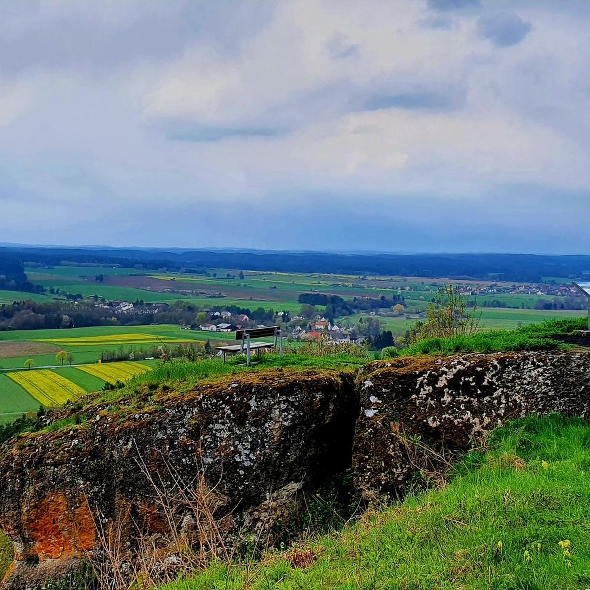
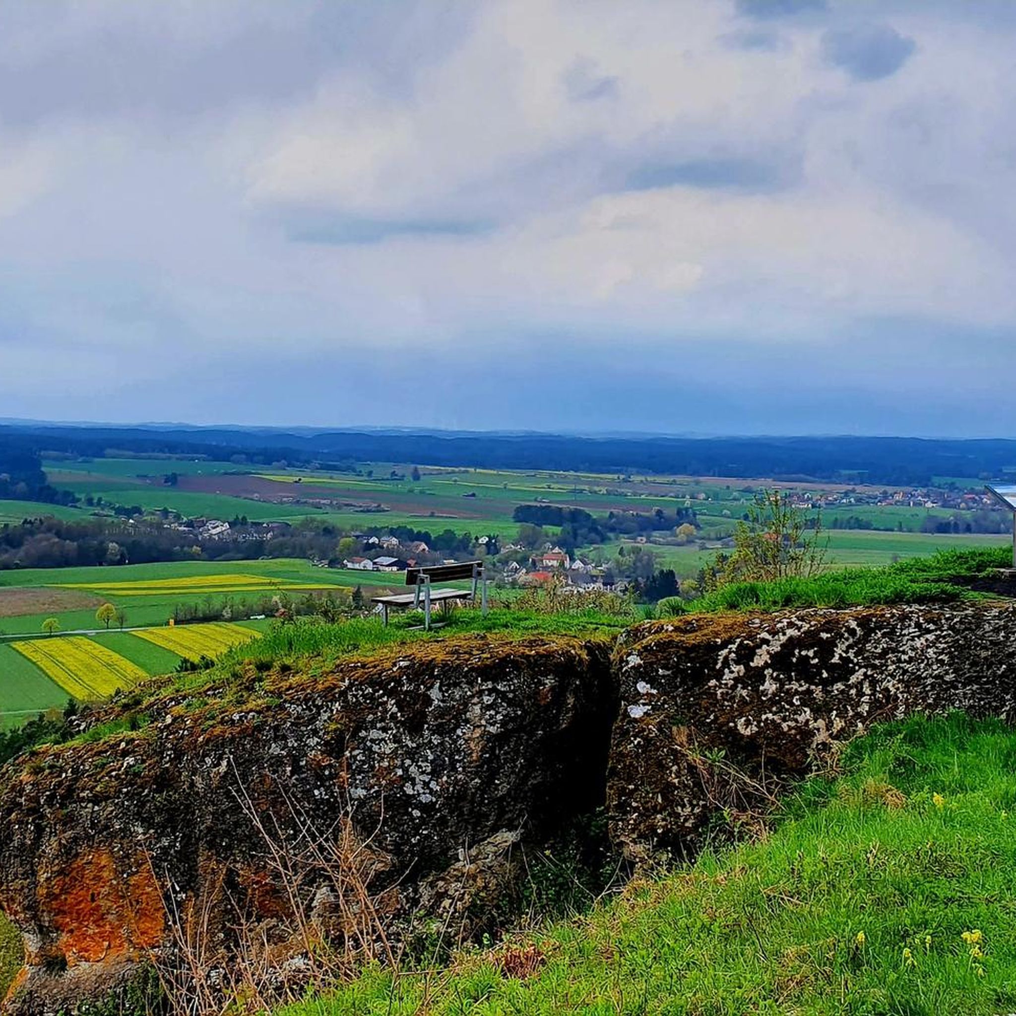
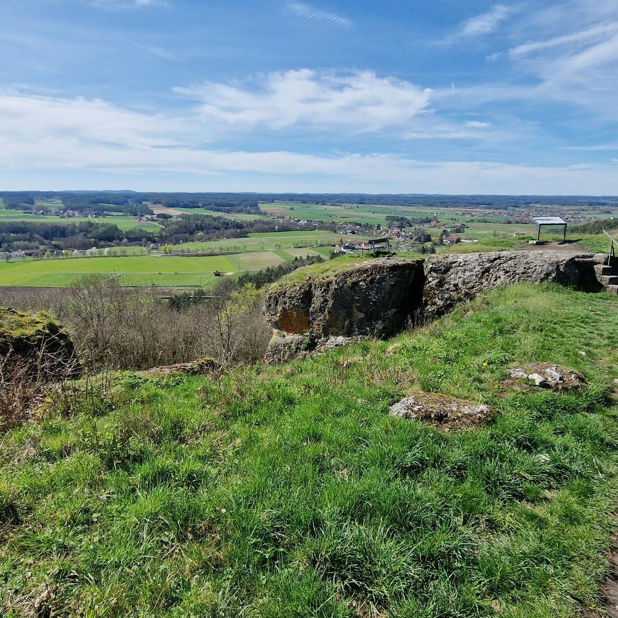
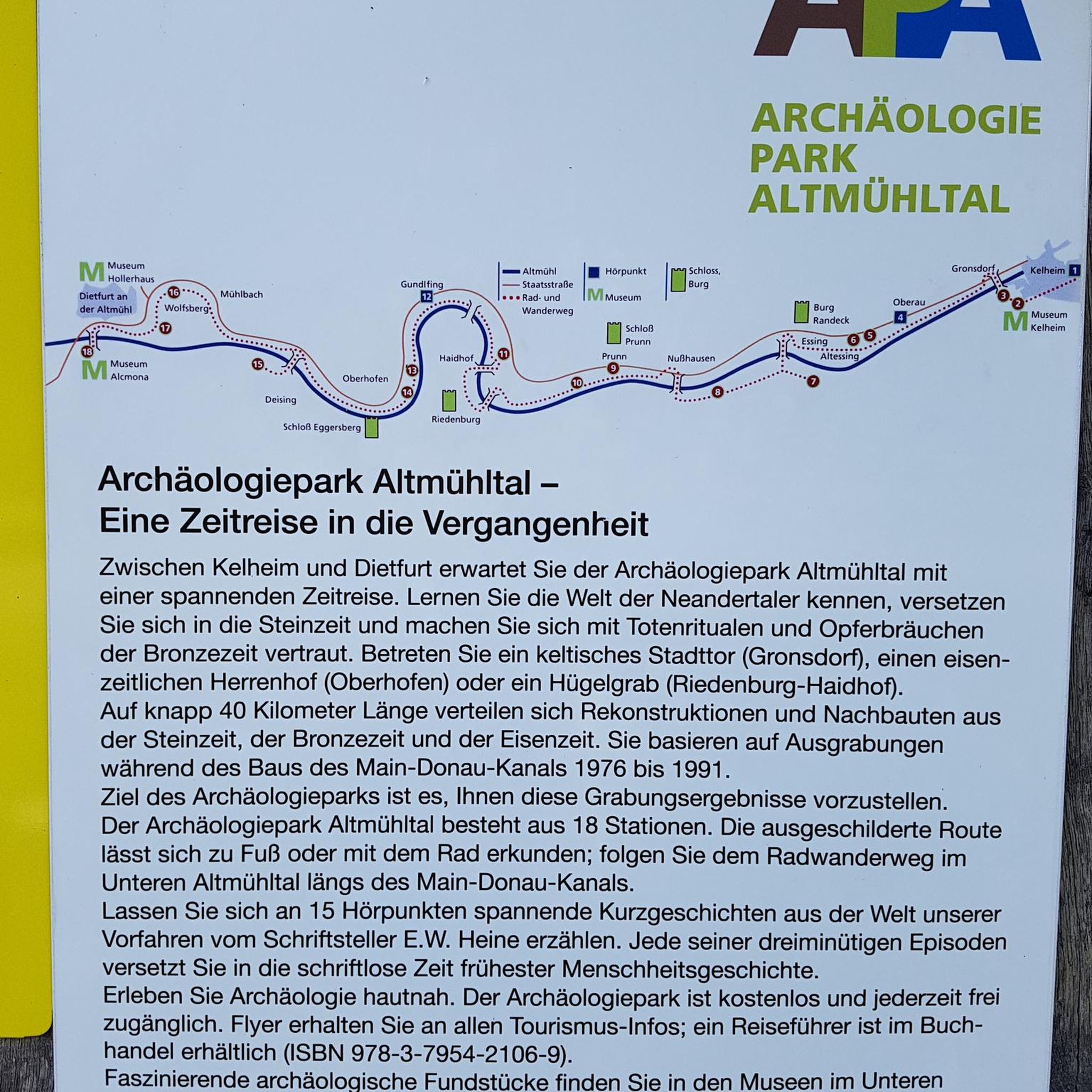
Tips from the Community

The restaurant is called "The Golden Lamb" and not "The Golden Lion"
0
0

The Bayreuth–Hollfeld railway line was a branch line. It branched off the Schnabelwaid–Bayreuth railway line at the Kreuzstein junction in Bayreuth and led to Hollfeld in northern Franconian Switzerland.
1
0

Brilliant, there's a slightly hidden outhouse here 😊 I really think it's a luxury 😃👍🏻
0
0

Sit down and simply enjoy
1
0

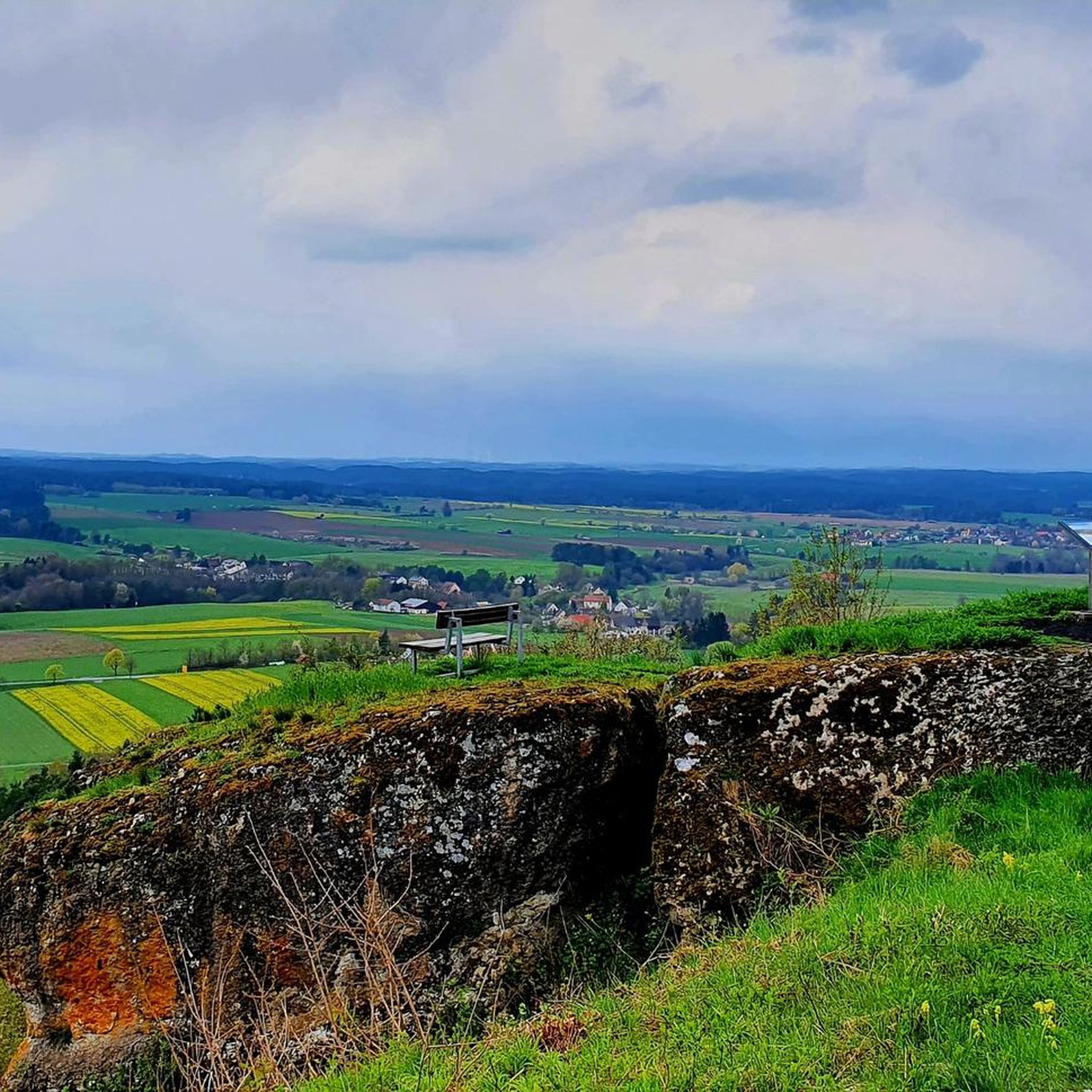
nice rest area with great view
0
0

The Neubürg is the highest mountain in the region in the form of a table mountain
2
0

At the small bridge in front of the Wiesent there is a nice Kneipp facility where you can cool your hot feet.
0
0
Here the glass jug is pre-cooled in the freezer! Absolutely recommended.
0
0
Frequently Asked Questions
How many hiking trails are available around Plankenfels?
Plankenfels offers a wide variety of hiking experiences, with over 60 different routes available. These trails cater to various preferences, from leisurely strolls to more challenging ascents through the diverse landscapes of Franconian Switzerland.
What kind of terrain can I expect on hikes in Plankenfels?
The region around Plankenfels is characterized by its varied topography, featuring rolling hills, dense forests, and impressive rock formations. You can expect paths along the Püttlach river, through tranquil valleys like the Lochau Valley, and routes with significant elevations offering scenic views. The terrain provides a mix of riverside paths, forest trails, and rocky sections.
Are there easy hiking options suitable for beginners or families in Plankenfels?
Yes, Plankenfels has numerous easy hiking options. Approximately 27 of the available routes are classified as easy, making them suitable for beginners or families. An example of a gentle route is the Wiesent River at Neumühle – Luisenquelle and Picnic Area loop from Plankenfels, which is about 3.7 miles (5.9 km) long and takes around 1 hour 35 minutes.
Can I find challenging hikes around Plankenfels?
For those seeking more challenging experiences, Plankenfels offers a few difficult routes. One such option is the Weirs in the Lochau Valley – Wachstein Viewpoint loop from Plankenfels, an 11.0 miles (17.7 km) trail that includes significant elevation gain and typically takes over 5 hours to complete, leading to the scenic Wachstein Viewpoint.
Are there any circular hiking routes in Plankenfels?
Yes, many of the trails around Plankenfels are designed as circular routes, allowing you to start and end at the same point. A popular moderate loop is the Lochautal Valley – 🏛️ Plankenstein Castle Site loop from Plankenfels, which covers 6.4 miles (10.3 km) and takes you through the scenic Lochau Valley and past the site of Plankenstein Castle.
What natural features or landmarks can I see while hiking near Plankenfels?
Hiking around Plankenfels offers access to a wealth of natural features and historical landmarks. You can explore impressive rock formations, tranquil valleys, and the Püttlach river. Notable natural attractions include the idyllic Königsstein and the scenic Lochau Valley. For panoramic views, consider visiting the Wachstein or the Neubürg elevation. You can also discover fascinating caves like the Oswald Cave or the Riesenburg Collapse Cave.
Are there any waterfalls to visit on hikes around Plankenfels?
Yes, the region around Plankenfels features several beautiful waterfalls and water features. You can find highlights such as the Devil’s Hole Waterfalls, the Wedenbach tufa terraces and waterfall, and the Arzloch Waterfall. These natural cascades add a refreshing element to your hiking experience.
What is the best time of year to go hiking in Plankenfels?
Plankenfels is beautiful throughout the year, but the spring and autumn seasons are particularly ideal for hiking. In spring, the meadows and trees are in full bloom, offering vibrant colors. Autumn transforms the landscape with a riot of colorful foliage, creating stunning scenery. Summer provides warm weather for longer excursions, while winter offers a serene, snow-covered landscape for those prepared for colder conditions.
What do other hikers say about the trails in Plankenfels?
The hiking trails in Plankenfels are highly regarded by the komoot community, with an average rating of 4.6 stars from over 3,300 reviews. Hikers frequently praise the diverse landscapes, well-maintained paths, and the opportunity to explore both natural wonders and historical sites within the Franconian Switzerland region.
Are there any historical sites or castles to explore on hikes?
Yes, the area around Plankenfels is rich in history. You can hike to the site of Plankenstein Castle, or explore the ruins of Neideck Castle. These sites offer a glimpse into the region's past amidst beautiful natural surroundings.
Is Plankenfels a good destination for dog-friendly hikes?
Plankenfels and the wider Franconian Switzerland region are generally very welcoming to dogs. Many trails pass through forests and open landscapes, providing ample space for dogs to enjoy. It's always recommended to keep dogs on a leash, especially in nature reserves or near wildlife, and to carry water for them.
How accessible are the hiking trails in Plankenfels by public transport?
While Plankenfels is a village nestled in a natural setting, public transport options exist, primarily bus services connecting to larger towns. For specific trailheads, it's advisable to check local bus schedules in advance, as some routes might require a short walk from the nearest bus stop. Many hikers choose to arrive by car for greater flexibility.
Where can I park when hiking in Plankenfels?
Plankenfels typically offers various parking options for hikers, often near trailheads or in the village center. Look for designated hiking parking areas (Wanderparkplätze) which are usually well-signposted. It's recommended to arrive early during peak season to secure a spot.
Most popular routes around Plankenfels
Most popular attractions around Plankenfels

Get inspired with the komoot mobile app


Explore more
Browse the best Hikes in other regions.
