The best mountain hikes around Landkreis Bamberg
5.0
(4)
56
hikers
12
hikes
Mountaineering routes around Landkreis Bamberg are characterized by diverse landscapes, including the renowned Franconian Switzerland region. The area features a blend of limestone rock formations, dense forests, and picturesque river valleys. This terrain offers varied opportunities for mountaineering, from challenging climbs to scenic trails through hills and valleys. The region's geology provides solid rock for vertical ascents, making it a notable destination for the sport.
Best mountaineering routes around Landkreis Bamberg
- The most popular mountaineering route is Kuchenmühle in the…
Last updated: August 25, 2026
5.0
(2)
15
hikers
13.6km
04:10
440m
440m
Moderate mountaineering route. Good fitness required. Mostly accessible paths. Sure-footedness required.
5.0
(2)
15
hikers
Moderate mountaineering route. Good fitness required. Easily-accessible paths. Suitable for all skill levels.

Sign up for free
5
hikers
22.9km
07:05
790m
800m
Hard mountaineering route. Very good fitness required. Mostly accessible paths. Sure-footedness required.
10
hikers
11.6km
03:20
280m
280m
Moderate mountaineering route. Good fitness required. Easily-accessible paths. Suitable for all skill levels.
2
hikers
6.56km
02:01
200m
210m
Moderate mountaineering route. Good fitness required. Mostly accessible paths. Sure-footedness required.
4
hikers
12.7km
03:49
380m
380m
Moderate mountaineering route. Good fitness required. Easily-accessible paths. Suitable for all skill levels.
1
hikers
13.1km
03:55
380m
380m
Moderate mountaineering route. Good fitness required. Mostly accessible paths. Sure-footedness required.
4
hikers
Moderate mountaineering route. Good fitness required. Mostly accessible paths. Sure-footedness required.
Get access to more routes and recommendations from other explorers.
Sign up for free
Already have an account?
Our route recommendations are based on thousands of hikes, rides, and runs completed by other people on komoot.
Start today with a free account
Your next adventure awaits.
Login or Signup
Popular around Landkreis Bamberg
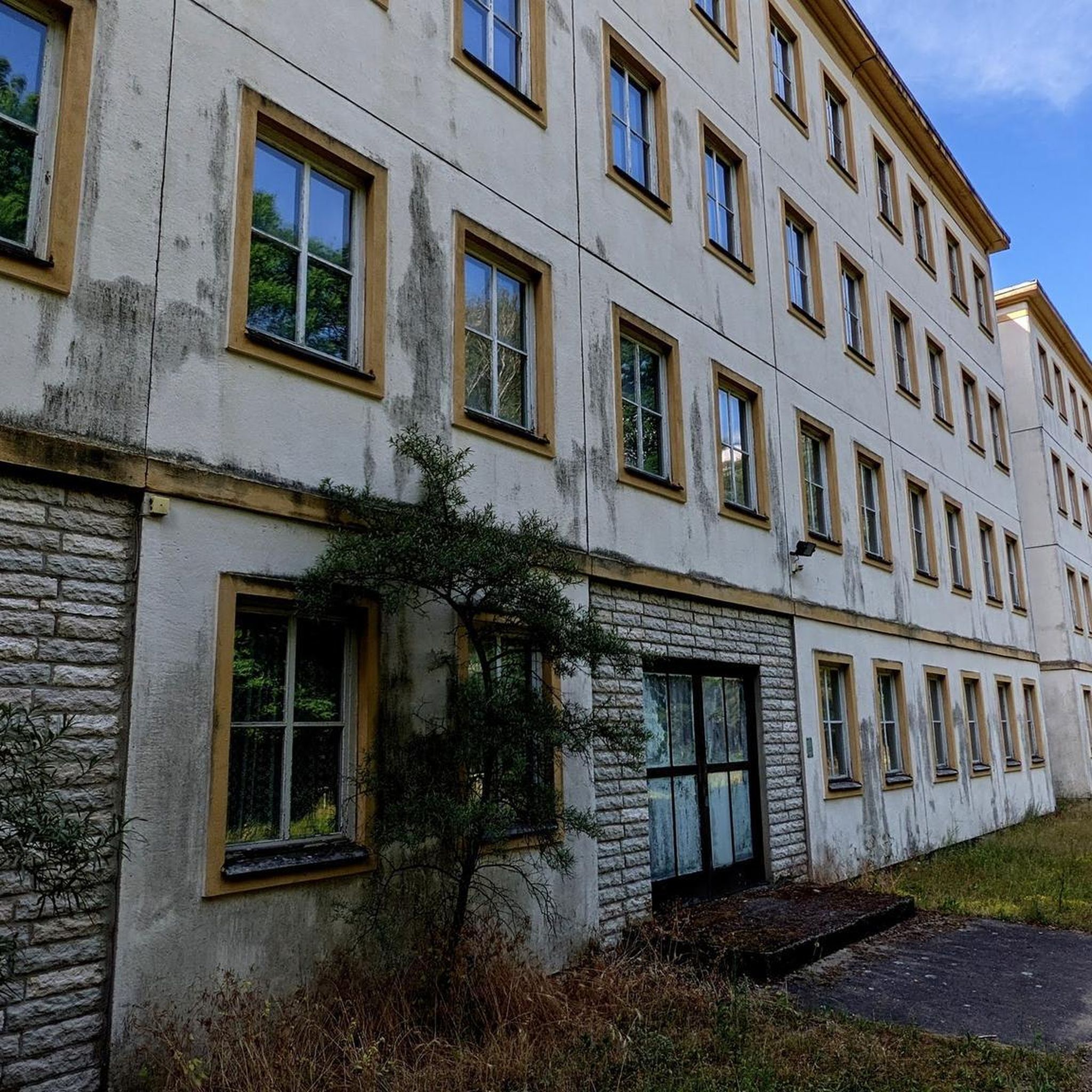
Mountain Hikes around Heiligenstadt
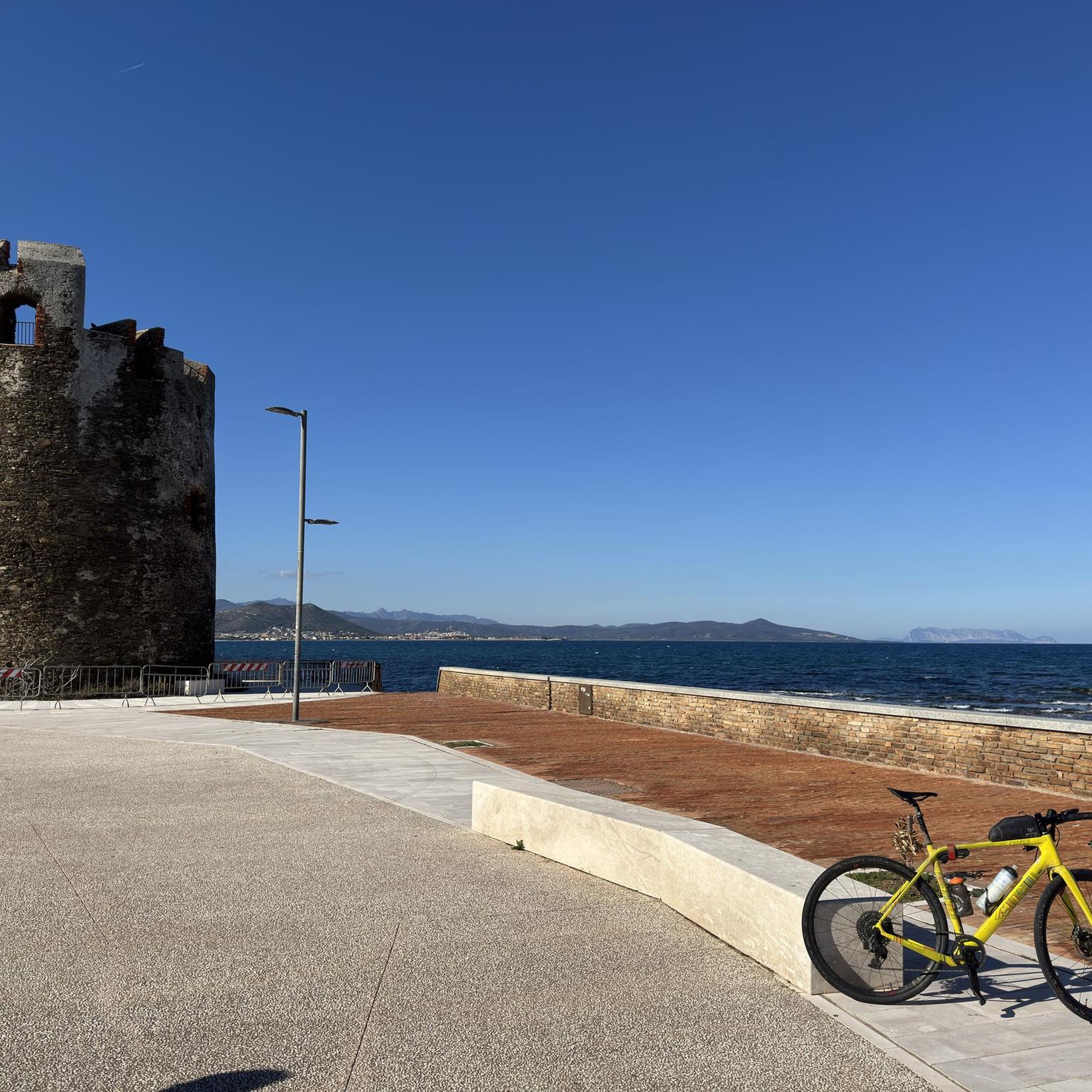
Mountain Hikes in Albtrauf Von Der Friesener Warte Zur Langen Meile
Mountain Hikes in Maintal Von Staffelstein Bis Hallstadt

Steigerwald panorama trail — 9 days
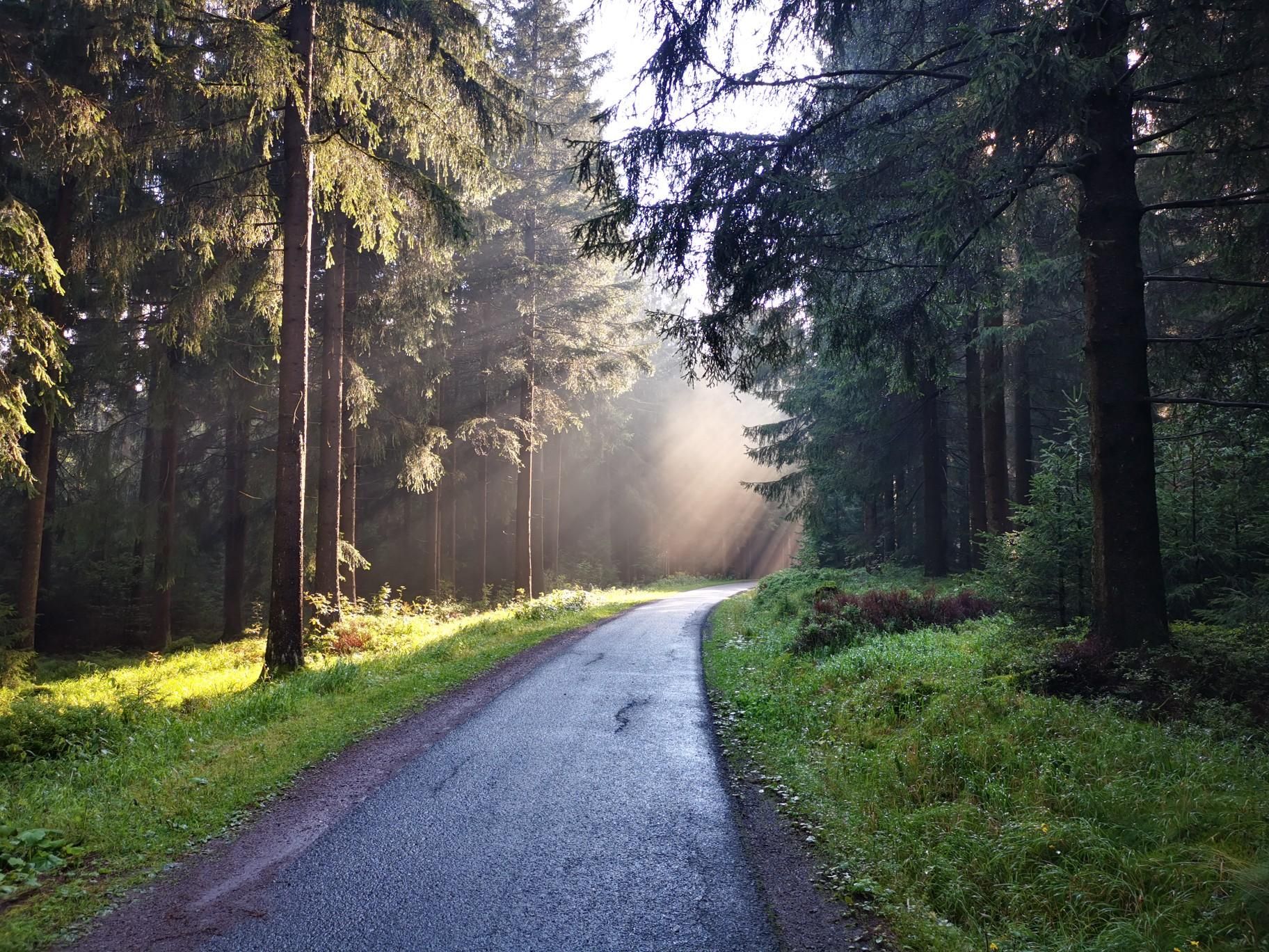
Nuremberg to Erfurt – Discover the German countryside by bike
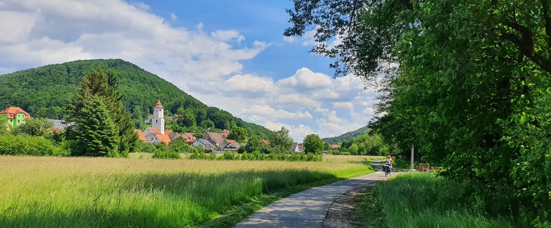
Cycling through the Nuremberg metropolitan region – nature & enjoyment
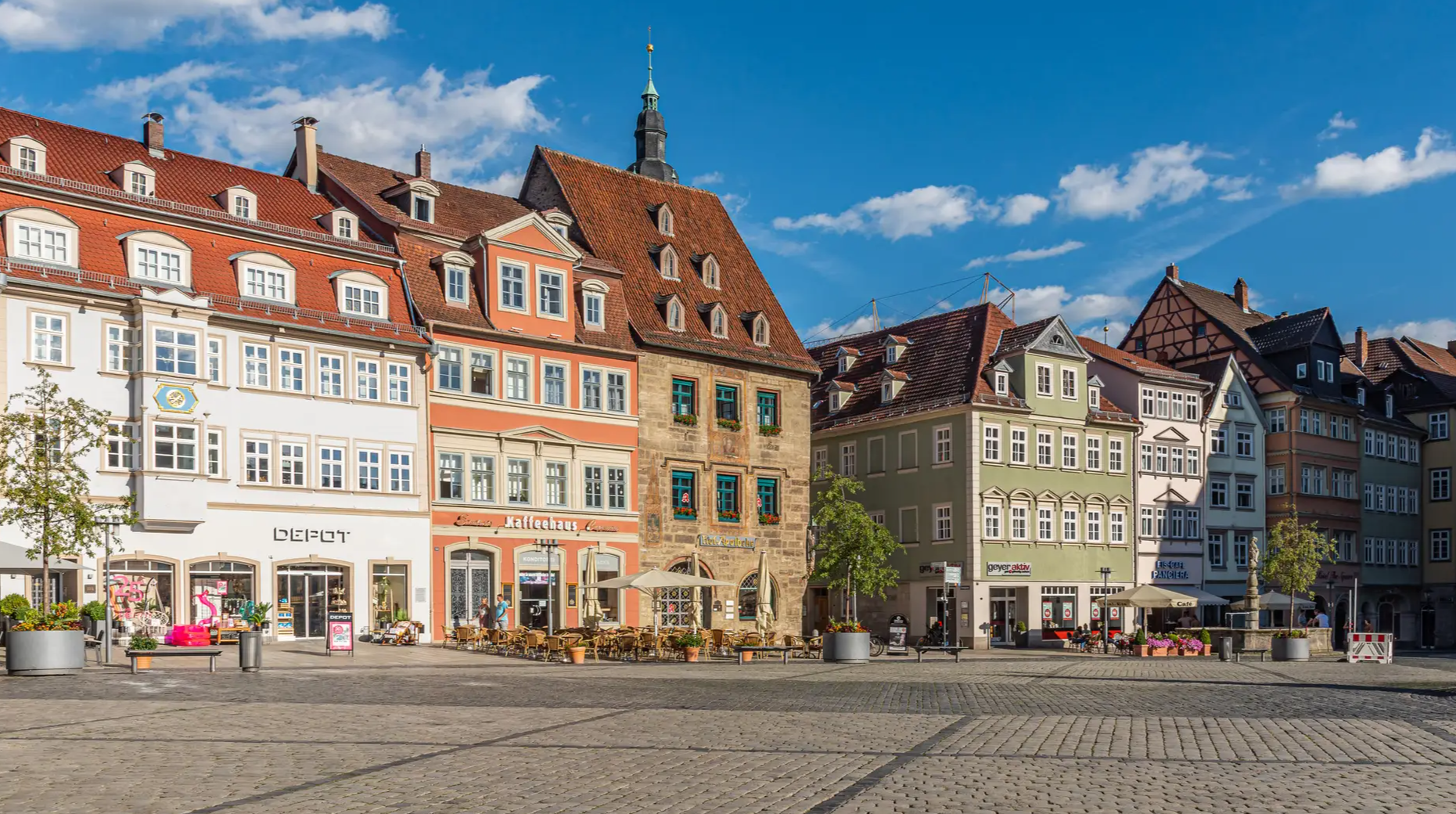
From the metropolis to enjoyment – city hiking on the VGN
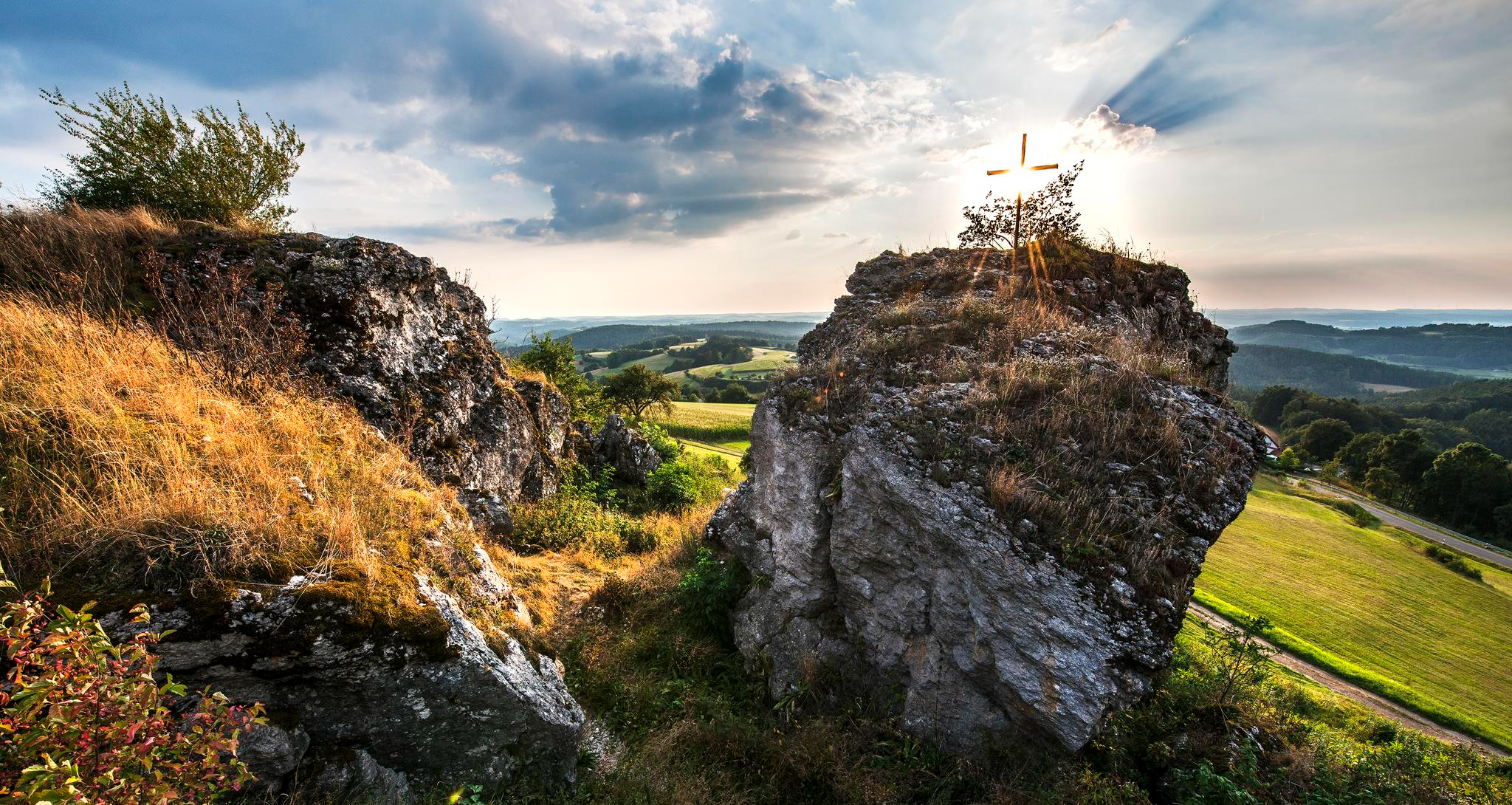
Fun hiking and wonderful views in Franconian Switzerland

Hiking through Bavaria's cultural landscapes

#GoFurther – discover the views of Germany!
Other adventures around Landkreis Bamberg


Tips from the Community

Very flat and straight on the right side no too strong current.
0
0


There are many signposted hiking trails on and around the Staffelberg.
0
0

The rocky path to the 🏰 is also absolutely impressive. A very beautiful castle and, in winter, also romantically illuminated.
9
1

was excavated...and very worth seeing and informative
0
0

We can only recommend stopping here and the restaurant is perfect for cyclists.
0
0

Located directly on the hiking trail.
0
0

Great cave... as I later discovered on a sign, as big as a beer mat, away from the cave... reserved for bats in the winter months... the sign could be better positioned
10
0
Frequently Asked Questions
What types of mountaineering routes can I find in Landkreis Bamberg?
Landkreis Bamberg offers a diverse range of mountaineering routes, characterized by limestone rock formations, dense forests, and picturesque river valleys. You'll find options from challenging climbs in areas like Franconian Switzerland to scenic trails through rolling hills. The region's geology provides solid rock for vertical ascents, making it a notable destination for the sport.
Are there any easy mountaineering routes suitable for beginners in Landkreis Bamberg?
Yes, Landkreis Bamberg has routes suitable for beginners. For instance, the region offers at least one easy mountaineering route. While specific easy routes are not detailed here, the overall network caters to various ability levels, including those new to mountaineering. Always check the difficulty rating on komoot before you go.
Where can I find challenging mountaineering trails in Landkreis Bamberg?
For those seeking a challenge, Landkreis Bamberg offers several difficult routes. A notable option is the Hohes Kreuz Observation Tower – Riesenburg Collapse Cave loop from Muggendorf, which is a 14.2-mile (22.8 km) trail with significant elevation gain. The adjacent Franconian Switzerland region is also renowned for its demanding climbing spots like Paradiestal and Felsengarten Sanspareil.
What are some scenic viewpoints along the mountaineering routes in Landkreis Bamberg?
The region boasts several panoramic viewpoints. The Kuchenmühle in the Aufseß Valley – Hohes Kreuz Observation Tower loop from Doos leads to the Hohes Kreuz Observation Tower, offering great vistas. Other notable viewpoints mentioned in the region include Friesener Warte, Kraiberg near Baunach, Hohe Metze, Michelsberg, and Altenburg Hill, which provides views of Bamberg's iconic landmarks.
Are there any circular mountaineering routes available?
Yes, many mountaineering routes in Landkreis Bamberg are designed as loops. Examples include the popular Kuchenmühle in the Aufseß Valley – Hohes Kreuz Observation Tower loop from Doos and the Kuchenmühle in the Aufseß Valley – Kuchenmühle Water Mill loop from Muggendorf. These circular routes allow you to start and end at the same point, often providing varied scenery along the way.
What kind of geological features can I expect to see on the trails?
Mountaineering trails in Landkreis Bamberg are characterized by diverse geological features, primarily limestone rock formations. You'll encounter impressive cliffs, rock towers like the 'Predigtstuhl' in Paradiestal, and even collapse caves such as the Riesenburg Collapse Cave, which is part of the Hohes Kreuz Observation Tower – Riesenburg Collapse Cave loop from Muggendorf. The solid, easy-to-grip rock is a hallmark of the Franconian Switzerland area.
Are there family-friendly mountaineering options in Landkreis Bamberg?
While specific family-friendly mountaineering routes are not detailed, the region offers a range of trails with varying difficulty levels. For families looking for outdoor activities, the Kletterwald Veilbronn (Veilbronn Climbing Forest) provides multiple courses suitable for different ages and skill levels. When choosing a route, look for those rated 'easy' or 'moderate' and consider shorter distances.
What is the best time of year for mountaineering in Landkreis Bamberg?
The region is generally suitable for mountaineering during most of the year, with spring, summer, and autumn offering pleasant conditions. Autumn is particularly striking, with vibrant colors, especially around Kraiberg near Baunach. While winter mountaineering is possible, it's essential to be prepared for colder weather and potentially icy conditions on trails.
What do other mountaineers enjoy most about the routes in Landkreis Bamberg?
The mountaineering routes in Landkreis Bamberg are highly rated by the komoot community, with an average score of 5.0 stars from 4 reviews. Mountaineers often praise the diverse landscapes, including the limestone cliffs and picturesque river valleys, as well as the variety of routes available for different skill levels. The blend of natural beauty and challenging terrain makes it a popular choice.
Are there any interesting landmarks or attractions near the mountaineering routes?
Absolutely! The region is rich in natural and historical attractions. Along your routes, you might encounter historic castle ruins like those on the Neideck Castle Ruins – Ruins of Streitburg Castle loop from Streitberg or the Gößweinstein Castle – Gößweinstein Rock Trail loop from Burggaillenreuth. You can also explore natural features like the Leinleiter Dry Valley or visit charming huts such as Naturfreundehaus Veilbronn.
Are there options for less crowded mountaineering routes in Landkreis Bamberg?
While some routes are popular, you can often find quieter trails by exploring less-trafficked areas or visiting during off-peak times. The vast network of trails, especially within the surrounding nature parks like Haßberge and Steigerwald, offers ample opportunities to discover peaceful paths away from the main crowds. Consider exploring routes that are not explicitly highlighted as 'most popular' to find more solitude.
What are the typical parking and trailhead situations for mountaineering in Landkreis Bamberg?
While specific parking details for every trailhead are not provided, most popular mountaineering areas in Landkreis Bamberg, especially those near towns or well-known attractions, typically offer designated parking facilities. It's always advisable to check route descriptions on komoot or local signage for specific parking information before starting your tour. Many routes, being loops, often start and end near accessible points.
Most popular routes around Landkreis Bamberg
Most popular attractions around Landkreis Bamberg

Get inspired with the komoot mobile app


Didn’t find what you were looking for?
Check out more Mountain Hikes & Routes throughout Landkreis Bamberg below and find the perfect route in your destination.
Explore more
Browse the best Mountain Hikes & Routes in other regions.
