The best gravel rides around Landkreis Bamberg
4.5
(248)
1,194
riders
238
rides
Gravel biking around Landkreis Bamberg offers diverse landscapes, characterized by rolling hills, river valleys, and extensive forests. The region is bordered by Franconian Switzerland, the Steigerwald Forest, the Haßberge Mountains, and the Obermain-Jura Valley, providing varied terrain for cyclists. A network of both paved and unpaved paths, including scenic routes along the Main-Danube and Regnitz canals, makes the area suitable for gravel biking. The topography includes gentle ascents and descents, with some routes featuring more challenging climbs.
Best gravel bike…
Last updated: August 20, 2026
4.7
(14)
54
riders
50.6km
03:15
530m
530m
Hard gravel ride. Very good fitness required. Mostly paved surfaces. Suitable for all skill levels.
4.6
(7)
33
riders
47.2km
03:04
590m
590m
Hard gravel ride. Very good fitness required. Mostly paved surfaces. Suitable for all skill levels.

Sign up for free
4.4
(9)
41
riders
22.7km
01:29
220m
230m
Moderate gravel ride. Good fitness required. Mostly paved surfaces. Suitable for all skill levels.
4.3
(4)
16
riders
26.0km
01:46
410m
410m
Moderate gravel ride. Good fitness required. Mostly paved surfaces. Suitable for all skill levels.
4.9
(9)
30
riders
41.2km
02:27
450m
450m
Moderate gravel ride. Good fitness required. Mostly paved surfaces. Suitable for all skill levels.
4.8
(4)
21
riders
45.4km
02:58
560m
570m
Hard gravel ride. Very good fitness required. Mostly paved surfaces. Suitable for all skill levels.
4.0
(2)
16
riders
33.4km
02:05
430m
430m
Moderate gravel ride. Good fitness required. Mostly paved surfaces. Suitable for all skill levels.
4.5
(4)
14
riders
29.6km
01:51
210m
210m
Hard gravel ride. Good fitness required. You may need to push your bike for some segments of this route.
3.0
(1)
13
riders
73.1km
04:36
760m
760m
Hard gravel ride. Very good fitness required. You may need to push your bike for some segments of this route.
11
riders
50.0km
03:22
550m
550m
Hard gravel ride. Very good fitness required. Mostly paved surfaces. Suitable for all skill levels.
Get access to more routes and recommendations from other explorers.
Sign up for free
Already have an account?
Our route recommendations are based on thousands of hikes, rides, and runs completed by other people on komoot.
Start today with a free account
Your next adventure awaits.
Login or Signup
Popular around Landkreis Bamberg

Gravel biking around Geisberger Forst
Gravel biking around Strullendorf
Gravel biking around Zückshuter Forst
Gravel biking around Hauptsmoor
Gravel biking around Litzendorf
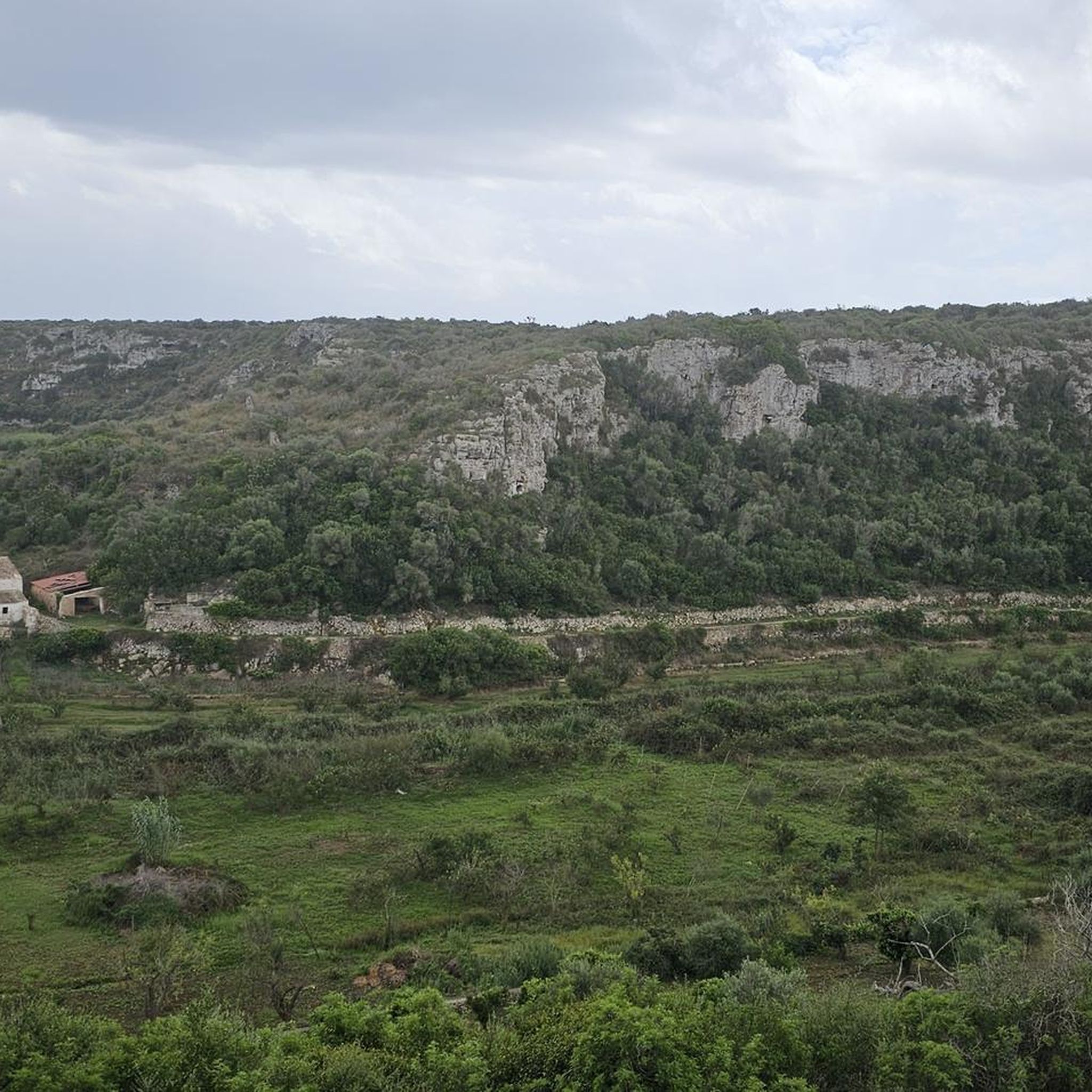
Gravel biking in Maintalhänge Um Viereth-Trunstadt Und Oberhaid
Gravel biking around Hallstadt
Gravel biking around Kemmern
Gravel biking around Semberg
Gravel biking in Albtrauf Von Der Friesener Warte Zur Langen Meile
Other adventures around Landkreis Bamberg


Tips from the Community

Here you can make good progress along the Regnitz right through the green lung of Bamberg, whether on foot or by bike.
0
0

The Meierseen are located on the route between Lauf (Adelsdorf) and Förtschwind.
0
0

The cycle path between Hollfeld and Stechendorf is officially known as the Franconian Switzerland High Trail. The path follows the former railway line between Bayreuth and Hollfeld, which was closed in 1974. Thanks to the use of the old railway line, the route is largely flat and gently sloping. From Hollfeld, the path leads along the Wiesent Valley towards Stechendorf and on to Bayreuth. It is often also referred to as a leisure cycle path or a railway line path.
2
0

The bridge is known for its impressive panorama. From this vantage point, one of the most beautiful views upstream of the former fishing village unfolds, with its medieval half-timbered houses and boat moorings situated directly on the water. In the distance, the striking Old Town Hall, built in the middle of the river, can be seen.
7
0

Beautiful MTB trail, but slippery when wet.
1
0
Beautiful view of Little Venice with its well-kept half-timbered houses. Not as crowded as the Lower Bridge.
5
0

only in dry conditions, otherwise it could be nasty without a mountain bike / with luggage
0
0
Frequently Asked Questions
How many gravel bike trails are available in Landkreis Bamberg?
Landkreis Bamberg offers a wide variety of gravel biking opportunities, with over 400 routes available on komoot. These routes cater to different skill levels, from easy to difficult.
What kind of terrain can I expect on gravel bike routes in Landkreis Bamberg?
The region features diverse terrain, including rolling hills, river valleys, and extensive forests. You'll encounter a mix of paved and unpaved paths, forest tracks, and gravel roads. Areas like the Steigerwald Forest offer majestic oak and beech trees, while river landscapes along the Main-Danube Canal provide scenic, flatter sections.
What do other gravel bikers say about their experience in Landkreis Bamberg?
The komoot community highly rates the gravel biking experience in Landkreis Bamberg, with an average score of 4.6 stars from over 400 reviews. More than 2,700 gravel bikers have explored the varied terrain, often praising the diverse landscapes and well-maintained paths.
Are there gravel routes suitable for beginners in Landkreis Bamberg?
Yes, there are routes suitable for beginners. For example, the Forchheim Imperial Palace – View of the Main-Danube Canal loop from Hirschaid is an easy 30 km trail with minimal elevation gain, perfect for those new to gravel biking.
Where can I find more challenging gravel bike trails in the region?
For more challenging rides, consider routes like the Veitenstein Viewpoint – View from Veitenstein loop from Bamberg, which is a difficult 50 km trail with over 500 meters of elevation gain. Another demanding option is the Leinleiter Cycle Path – Leinleiter Cycle Path loop from Hallstadt Hp, a difficult 87 km route with significant climbing.
What are the characteristics of gravel biking in the Steigerwald Forest?
The Steigerwald Forest, a protected nature park, offers a beautiful setting for gravel biking with routes winding through majestic oak and beech trees, bogs, and lowland meadows. You'll find a mix of asphalt and gravel paths, providing a varied and scenic experience.
Are there any notable landmarks or viewpoints along the gravel bike routes in Landkreis Bamberg?
Yes, the region is rich in natural and historical sights. You can find panoramic vistas from viewpoints like Friesener Warte and Kraiberg near Baunach. Many routes also pass by charming villages and river landscapes. For specific highlights, consider exploring the Giechburg or Seehof Palace.
Can I explore historical sites like castles while gravel biking in the region?
Absolutely. Landkreis Bamberg is home to several historical sites and castles. You can plan routes that take you past impressive structures such as Altenburg Bamberg or New Residence, Bamberg. The Haßberge Mountains region, in particular, is known for routes that pass by castles.
Is it possible to access gravel bike trails in Landkreis Bamberg using public transport?
Yes, many areas in Landkreis Bamberg are accessible by public transport. The Regnitz River Bicycle Trail, for instance, is a significant long-distance route that connects to various towns, making it easier to start and end your gravel rides using train or bus services. Check local transport schedules for specific trailheads.
What is the best time of year for gravel biking in Landkreis Bamberg?
The spring and autumn months are generally ideal for gravel biking in Landkreis Bamberg. The weather is typically mild, and the natural landscapes are particularly beautiful, whether with spring blossoms or autumn foliage. Summer can also be pleasant, but be prepared for warmer temperatures, especially during midday.
Are there any family-friendly gravel biking options in Landkreis Bamberg?
While many routes offer varied terrain, some are more suitable for families. Look for easier routes with less elevation gain, often found along the river landscapes like the Main-Danube Canal. These paths tend to be flatter and more accessible for riders of all ages.
Are there circular gravel bike routes available in Landkreis Bamberg?
Yes, many of the gravel bike routes in Landkreis Bamberg are designed as loops, allowing you to start and finish at the same point. Examples include the Moggala Trail – Hauptsmoorwald Trail loop from Bamberg and the Bruderwald Trail – Lower bridge loop from Bamberg, offering convenient circular journeys.
Can I find cafes or pubs along the gravel bike routes for refreshments?
Yes, the region is known for its traditional Franconian beer cellars and charming villages. Many cycling routes, including those suitable for gravel bikes, wind through areas where you can find opportunities for refreshments and local cuisine. Planning your route with komoot can help identify such stops.
Most popular routes around Landkreis Bamberg
Most popular attractions around Landkreis Bamberg

Get inspired with the komoot mobile app


Didn’t find what you were looking for?
Check out more Gravel rides throughout Landkreis Bamberg below and find the perfect route in your destination.
Explore more
Browse the best Gravel rides in other regions.
