The best mountain hikes in the Landkreis Bad Tölz-Wolfratshausen
4.6
(1749)
17,300
hikers
288
hikes
Mountaineering routes in the Landkreis Bad Tölz-Wolfratshausen traverse a diverse alpine landscape in Bavaria, Germany. The region features a transition from the foothills of the Alps to towering peaks, with 253 named mountains including the 2,102-meter Schafreuter and the prominent Benediktenwand. This area is characterized by significant mountain lakes such as Walchensee and Kochelsee, and the Isar River flows through its pre-alpine valleys.
Best mountaineering routes in the Landkreis Bad Tölz-Wolfratshausen
- The most popular mountaineering route is Heimgarten–Herzogstand Ridge –…
Last updated: August 28, 2026
4.8
(163)
1,281
hikers
14.5km
07:19
1,130m
1,130m
Hard mountaineering route. Very good fitness required. Sure-footedness, sturdy shoes and alpine experience required.
4.9
(104)
681
hikers
10.4km
04:45
750m
750m
Moderate mountaineering route. Good fitness required. Mostly accessible paths. Sure-footedness required.

Sign up for free
4.8
(97)
671
hikers
13.9km
05:34
750m
750m
Hard mountaineering route. Very good fitness required. Mostly accessible paths. Sure-footedness required.
4.6
(40)
663
hikers
5.73km
03:33
650m
650m
Moderate mountaineering route. Good fitness required. Mostly accessible paths. Sure-footedness required.
4.5
(37)
652
hikers
6.78km
03:38
630m
630m
Moderate mountaineering route. Good fitness required. Mostly accessible paths. Sure-footedness required.
4.6
(27)
623
hikers
10.2km
05:06
900m
900m
Hard mountaineering route. Very good fitness required. Mostly accessible paths. Sure-footedness required.
4.6
(33)
476
hikers
11.4km
05:39
870m
870m
Hard mountaineering route. Very good fitness required. Mostly accessible paths. Sure-footedness required.
4.8
(33)
167
hikers
5.86km
03:26
620m
620m
Hard mountaineering route. Good fitness required. Sure-footedness, sturdy shoes and alpine experience required.
4.6
(31)
405
hikers
Hard mountaineering route. Very good fitness required. Sure-footedness, sturdy shoes and alpine experience required.
4.5
(51)
345
hikers
13.1km
05:31
840m
840m
Hard mountaineering route. Very good fitness required. Mostly accessible paths. Sure-footedness required.
Get access to more routes and recommendations from other explorers.
Sign up for free
Already have an account?
Our route recommendations are based on thousands of hikes, rides, and runs completed by other people on komoot.
Start today with a free account
Your next adventure awaits.
Login or Signup
Popular around Landkreis Bad Tölz-Wolfratshausen
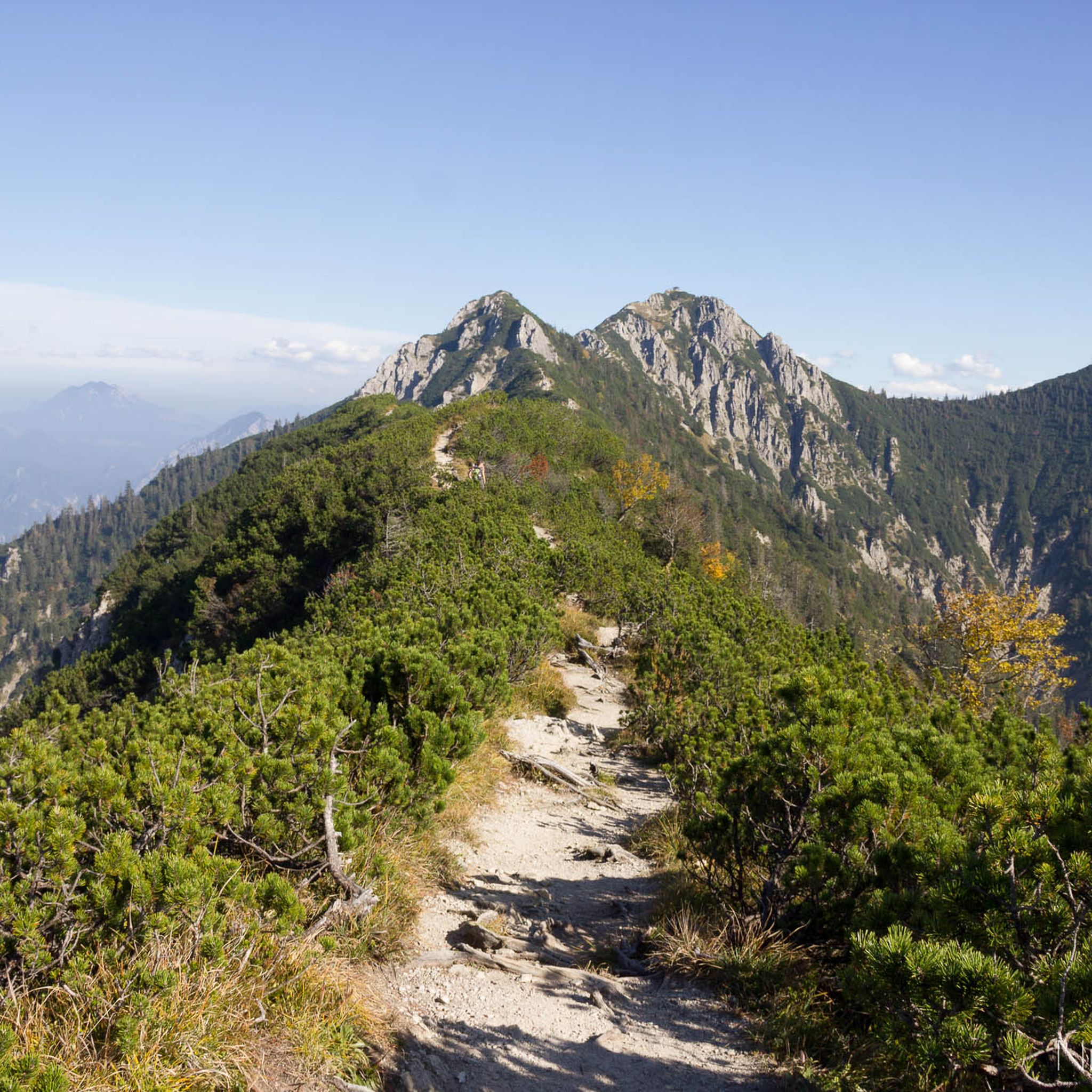
Mountain Hikes in Landkreis Bad Tölz-Wolfratshausen

Maximilian Trail in Germany — Lake Constance to Königssee
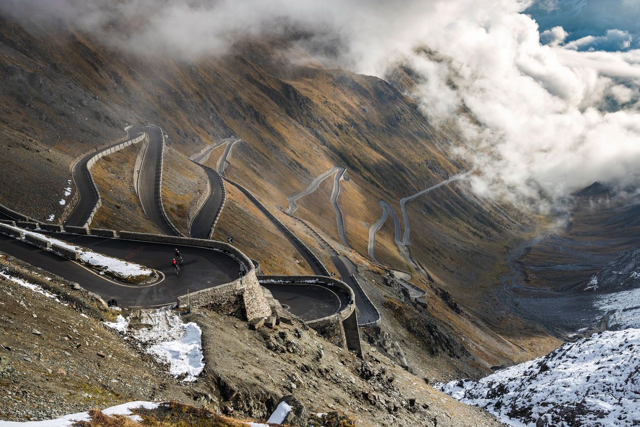
Transalp: Five Road Cycling Routes over the Alps
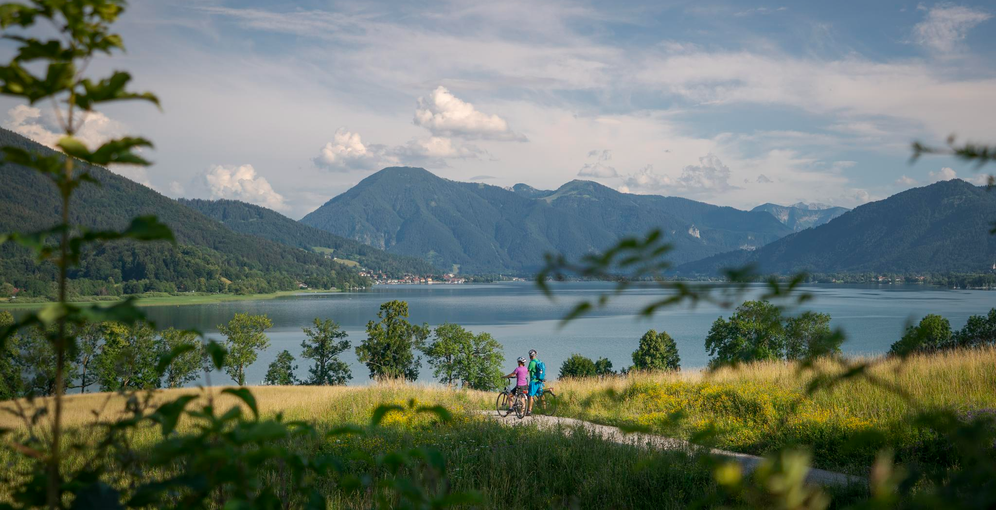
The Munich-Venice Long-Distance Cycle Path – A beautiful Alps crossing
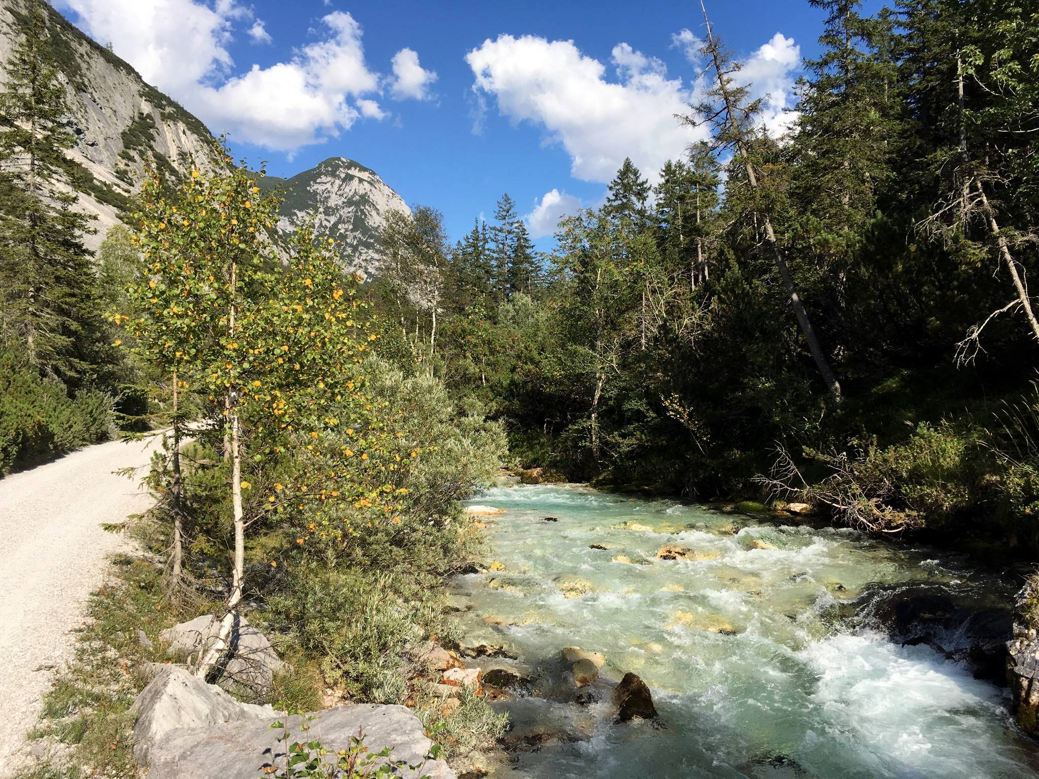
Isar cycle path — From Alpine peaks to the Auenwald (7 stages)

The "Dream Path" hiking trail – From Munich to Venice in 28 stages
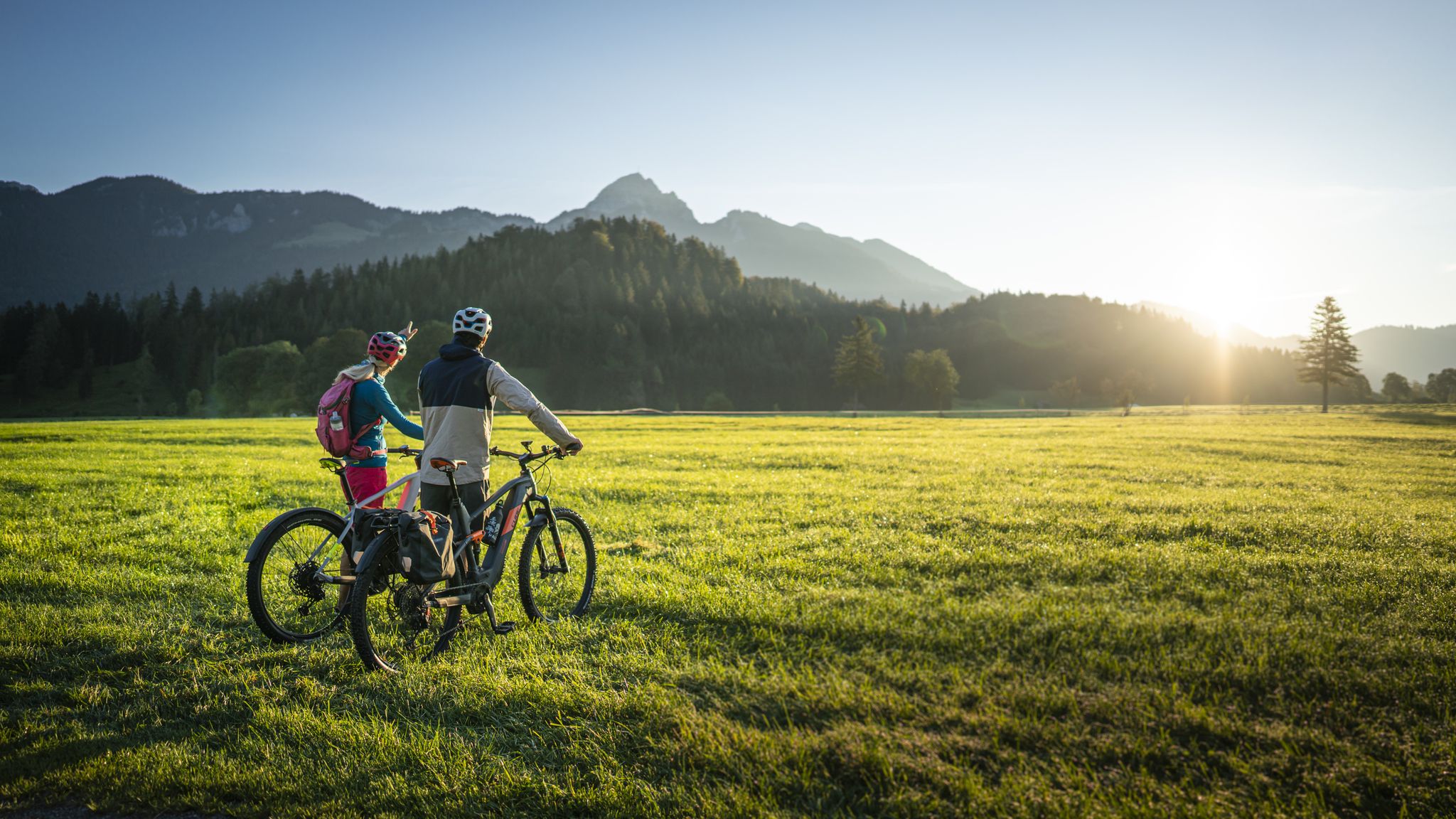
Lake Constance to Königssee cycle path
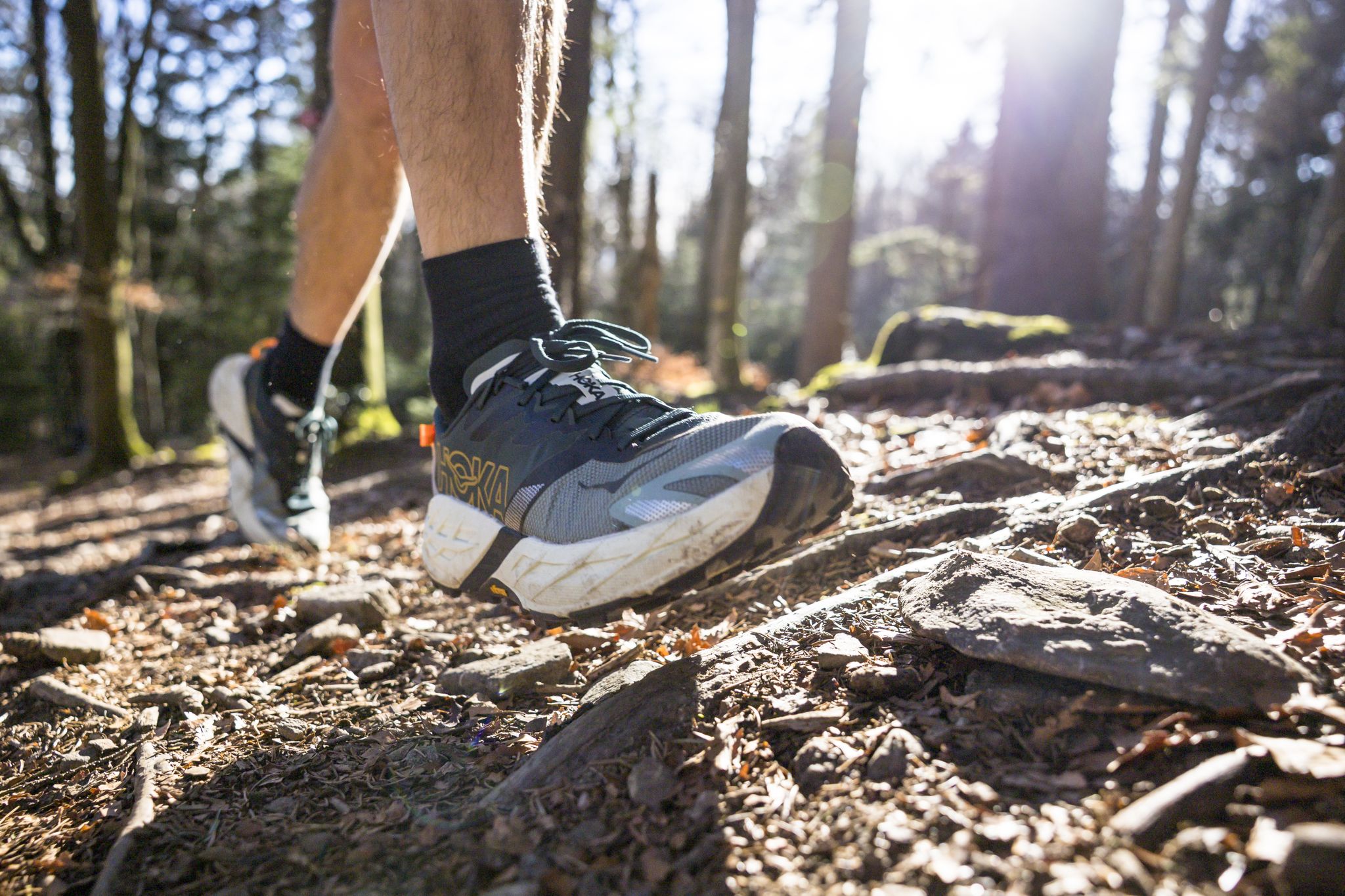
Run Wilder – six trail runs in Germany with the HOKA Speedgoat 7
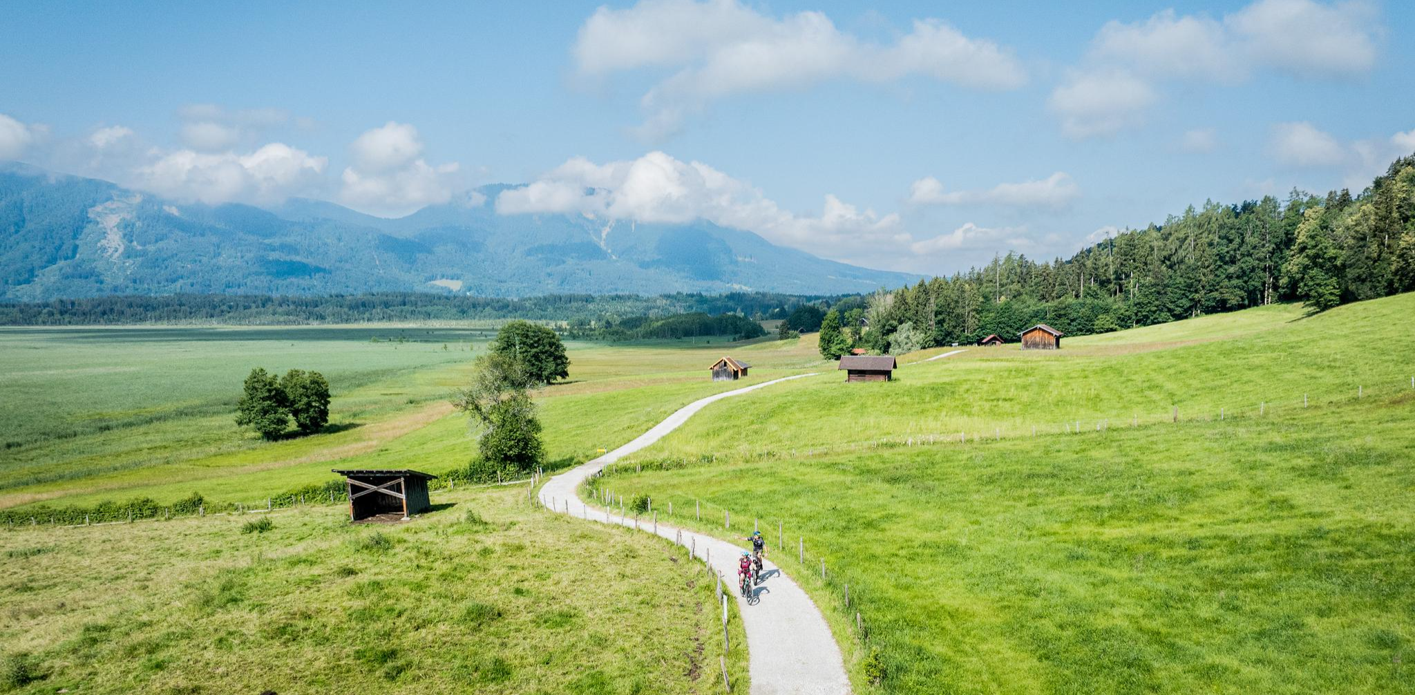
Art and nature by bike – from Munich to the edge of the Alps
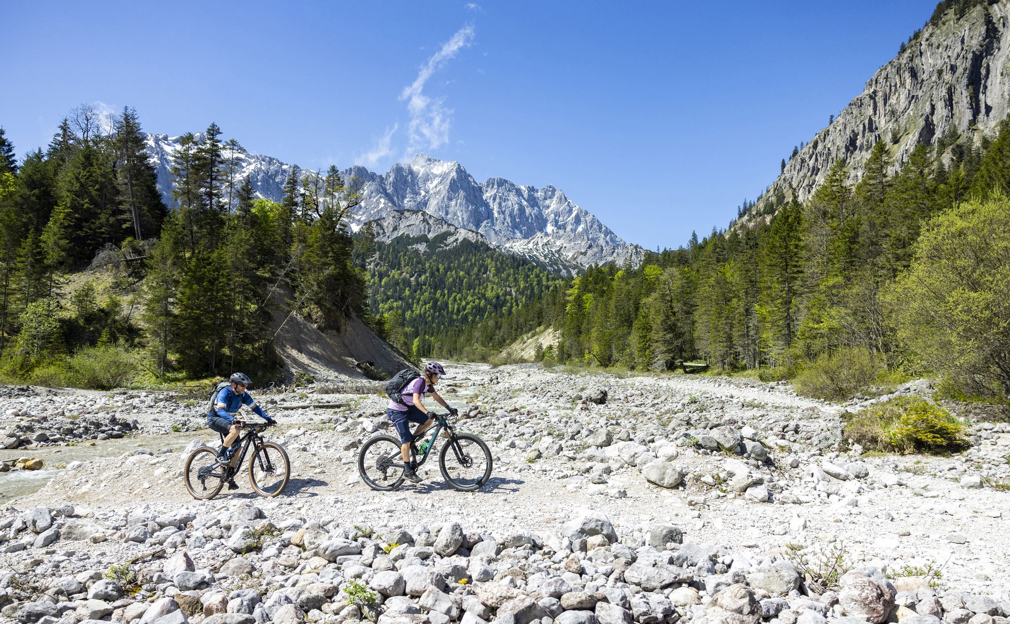
Trail guide Karwendel: In Elmar Moser’s footsteps
Other adventures in the Landkreis Bad Tölz-Wolfratshausen


Tips from the Community

Very narrow and challenging. Too difficult for me.
0
0

Worlds meet here. Mountaineers and tourists in flip-flops from the nearby Herzogstandbahn. Super view in top weather of several lakes. A small hut offers some sun protection and there are a few information boards about the surrounding mountains.
0
0

In good weather, you'll enjoy a magnificent view of Lake Walchensee and Lake Kochel. The Jochberg Alm is a must-stop. The Kaiserschmarn (sweet pancakes) is delicious, and the hosts are very friendly.
0
0
A great ridge with a fantastic view. In some places, you have to climb a bit.
0
0

Fantastic view of Lake Kochel.
0
0

A panoramic summit with a view over the Isar Valley. You can reach it from Lenggries either via the Sulzertsteig or the Grasleitensteig. It's also a worthwhile stopover if you're traveling from Schönberg to the Kampen.
2
0

Each of the summit crosses one often encounters in the mountains—as here on the Jochberg—whether with or without the body of the crucified Christ, invites passersby to a brief spiritual rest. Perhaps one or another will be able to encounter God here in a brief prayer. As a prerequisite for a completely different mystical experience of encountering God, beyond such a small sacred monument, Hape Kerkeling, who made a pilgrimage on the Camino Frances in 2001, writes: "I am becoming freer here every day (...) Through all the emotional frequencies, I slowly tuned myself into one frequency and had a wonderful reception. Total serene emptiness is the state that creates a vacuum that God can then completely fill in a relaxed manner." (Hape Kerkeling in "I'm Off Then")
0
0

Extremely beautiful, wonderful view, just enjoy.
3
1
Frequently Asked Questions
What types of mountaineering routes can I find in Landkreis Bad Tölz-Wolfratshausen?
The region offers a wide variety of mountaineering routes, ranging from moderate ascents to challenging high-alpine tours. You'll find paths through forests and meadows, as well as demanding trails leading to prominent peaks like Benediktenwand and Schafreuter. In total, there are over 300 mountaineering routes available, with 179 classified as difficult and 117 as moderate.
Are there any family-friendly mountaineering options in the area?
Yes, Landkreis Bad Tölz-Wolfratshausen features routes suitable for families. While specific 'easy' mountaineering routes are fewer (5 in total), many moderate trails can be enjoyed by families with some hiking experience. The region's diverse landscape includes paths through forests and meadows that are generally less demanding.
Can I find circular mountaineering routes in Landkreis Bad Tölz-Wolfratshausen?
Absolutely. Many of the mountaineering routes in the region are designed as loops, allowing you to start and end at the same point. For example, consider the Heimgarten–Herzogstand Ridge – Heimgarten Summit (1,790 m) loop from Walchensee or the View of Lake Walchensee – Jochberg summit loop from Walchenseekraftwerk for scenic circular options.
What are some notable landmarks or viewpoints along the mountaineering routes?
The region is rich in stunning natural landmarks and viewpoints. You can enjoy panoramic views from summits like Herzogstand summit, offering vistas of Walchensee and Kochelsee. The Jochberg Summit also provides expansive views, even reaching Munich on clear days. Don't miss the Herzogstand summit cross or the Brauneck Summit Cross for iconic photo opportunities.
Are there any waterfalls to see while mountaineering?
Yes, the region features beautiful natural elements, including waterfalls. A notable one is the Lainbach Waterfall, which can be a refreshing stop or a destination on its own, often accessible from various trails.
What is the best time of year for mountaineering in Landkreis Bad Tölz-Wolfratshausen?
The region is enjoyable for mountaineering in both summer and winter, depending on your preferences and experience. Summer offers lush landscapes and warmer temperatures for high-alpine tours. In winter, areas like Brauneck transform, offering opportunities for winter hiking, though some high-alpine routes may require specialized gear and experience due to snow and ice.
How accessible are the mountaineering trails by public transport or car parking?
Landkreis Bad Tölz-Wolfratshausen has a well-developed infrastructure for outdoor enthusiasts. Many popular starting points, especially around Walchensee and Kochelsee, offer parking facilities. While specific public transport details vary by route, the region is generally well-connected, making many trailheads accessible. It's always advisable to check local transport schedules for your chosen starting point.
What do other mountaineers enjoy most about the routes here?
The komoot community highly rates the mountaineering routes in Landkreis Bad Tölz-Wolfratshausen, with an average score of 4.7 stars from over 1,500 reviews. Mountaineers often praise the diverse alpine landscapes, the stunning views from peaks like Herzogstand and Jochberg, and the serene beauty of the mountain lakes like Walchensee and Kochelsee.
Are there any routes that offer views of the Walchensee or Kochelsee?
Many routes provide spectacular views of the region's iconic lakes. For instance, the View of Lake Walchensee – Jochberg summit loop from Kesselberg offers panoramic lake views during its ascent. The Jocher Alm Trail – View of Lake Walchensee loop from Walchenseekraftwerk is another excellent choice for enjoying the Walchensee scenery.
Can I bring my dog on the mountaineering trails?
Many outdoor trails in the Landkreis Bad Tölz-Wolfratshausen are generally dog-friendly. However, it's always recommended to keep your dog on a leash, especially in nature protection areas, near livestock, or on busy trails. Always check for specific local regulations or signage at the trailhead regarding dogs.
Are there any challenging routes for experienced mountaineers?
Yes, the region is known for its demanding high-alpine tours. Experienced mountaineers can tackle routes like the View of Lake Walchensee – Jochberg summit loop from Kochel am See, which features significant elevation gain. Another challenging option is the Herzogstand summit (1,731 m) – Herzogstand Summit loop from Walchensee, offering extensive ridge walking and rewarding views.
What kind of terrain can I expect on the mountaineering routes?
The terrain varies significantly, reflecting the region's transition from pre-alpine foothills to towering peaks. You can expect well-maintained paths through forests and meadows at lower elevations, transitioning to rocky, exposed sections and steep ascents in the higher alpine areas. Some routes, like the Dangerous Trail in the Dark – Graseck Summit loop from Kochel am See, indicate more rugged conditions.
Most popular routes in the Landkreis Bad Tölz-Wolfratshausen
Most popular attractions in the Landkreis Bad Tölz-Wolfratshausen

Get inspired with the komoot mobile app


Didn’t find what you were looking for?
Check out more Mountain Hikes & Routes throughout Landkreis Bad Tölz-Wolfratshausen below and find the perfect route in your destination.
Explore more
Browse the best Mountain Hikes & Routes in other regions.
