The best cycling routes in the Landkreis Bad Tölz-Wolfratshausen
4.6
(17656)
105,563
riders
1,165
rides
Touring cycling routes in the Landkreis Bad Tölz-Wolfratshausen traverse a diverse pre-Alpine landscape, featuring gentle hills, serene lakes, and the prominent Isar and Loisach rivers. The region is characterized by vast floodplains, dense forests, and several large lakes such as Walchensee, Kochelsee, and Tegernsee. This varied terrain offers a mix of flat paths along riverbanks and more challenging routes through the foothills of the Alps.
Best touring cycling routes in the Landkreis Bad Tölz-Wolfratshausen
- The most popular touring cycling route…
Last updated: October 25, 2026
4.8
(1076)
4,567
riders
23.4km
01:29
210m
220m
Moderate bike ride. Good fitness required. Mostly paved surfaces.
4.7
(525)
2,761
riders
79.2km
04:54
570m
570m
Hard bike ride. Very good fitness required. Mostly paved surfaces.

4.7
(386)
2,107
riders
Moderate bike ride. Good fitness required. Mostly paved surfaces.
4.7
(202)
1,160
riders
74.9km
05:00
680m
680m
Hard bike ride. Very good fitness required. Mostly paved surfaces.
4.6
(193)
720
riders
28.4km
01:56
120m
120m
Easy bike ride. Mostly paved surfaces.
4.6
(287)
1,254
riders
51.6km
03:20
540m
540m
Hard bike ride. Very good fitness required. Mostly paved surfaces.
4.7
(189)
795
riders
Moderate bike ride. Good fitness required. Mostly paved surfaces.
4.7
(191)
1,076
riders
71.3km
04:39
680m
680m
Hard bike ride. Very good fitness required. You may need to push your bike for some segments of this route.
4.6
(220)
825
riders
24.3km
01:41
190m
190m
Moderate bike ride. Good fitness required. Mostly paved surfaces.
4.8
(1518)
6,321
riders
37.9km
02:23
370m
370m
Moderate bike ride. Good fitness required. Mostly paved surfaces.
Get access to more routes and recommendations from other explorers.
Already have an account?
Our route recommendations are based on thousands of hikes, rides, and runs completed by other people on komoot.
Start today with a free account
Your next adventure awaits.
Popular around Landkreis Bad Tölz-Wolfratshausen
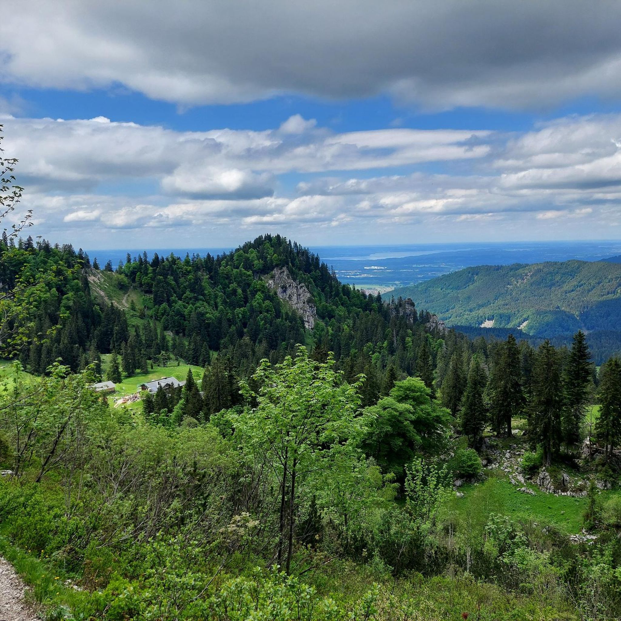
Cycling in Landkreis Bad Tölz-Wolfratshausen
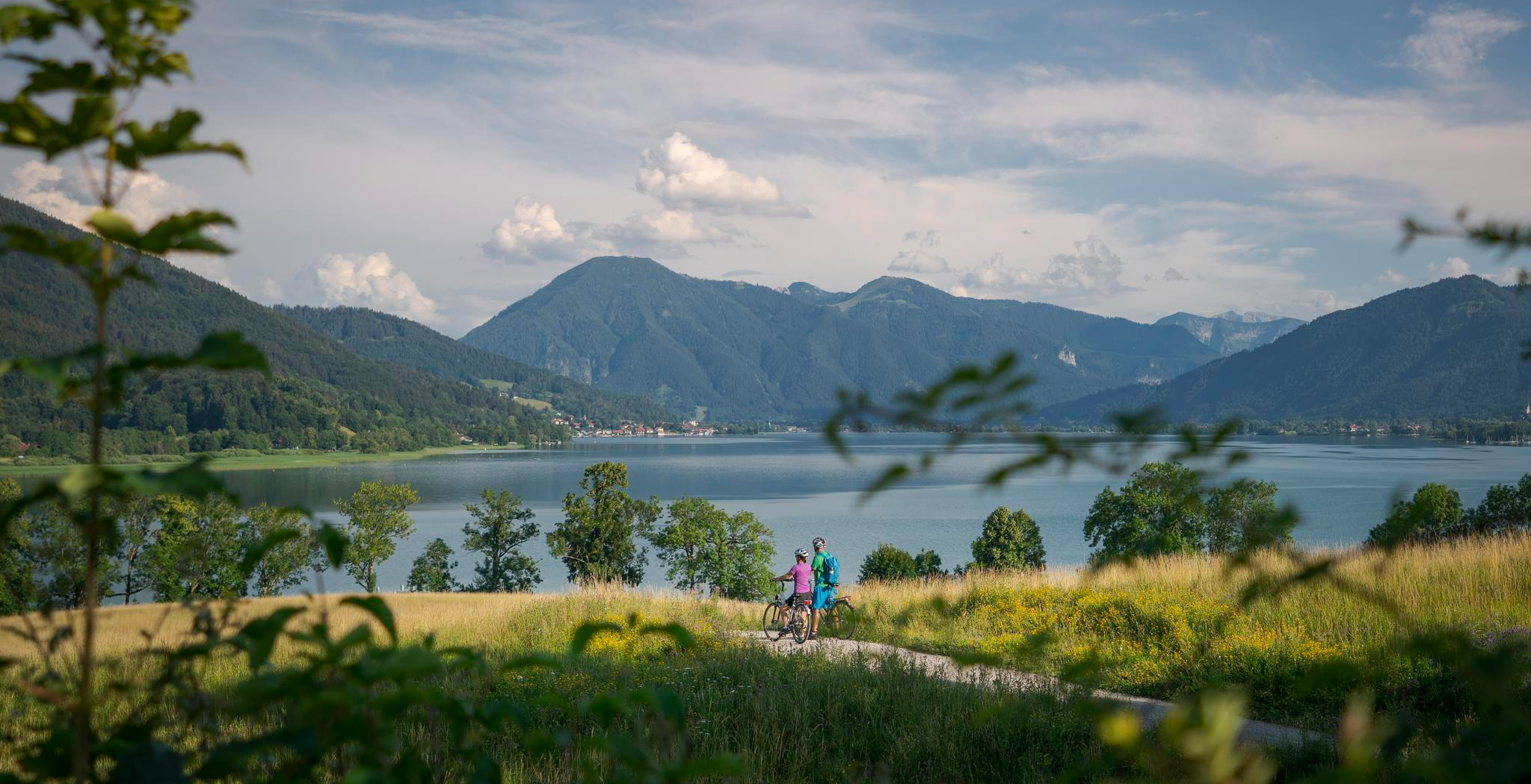
The Munich-Venice Long-Distance Cycle Path – A beautiful Alps crossing
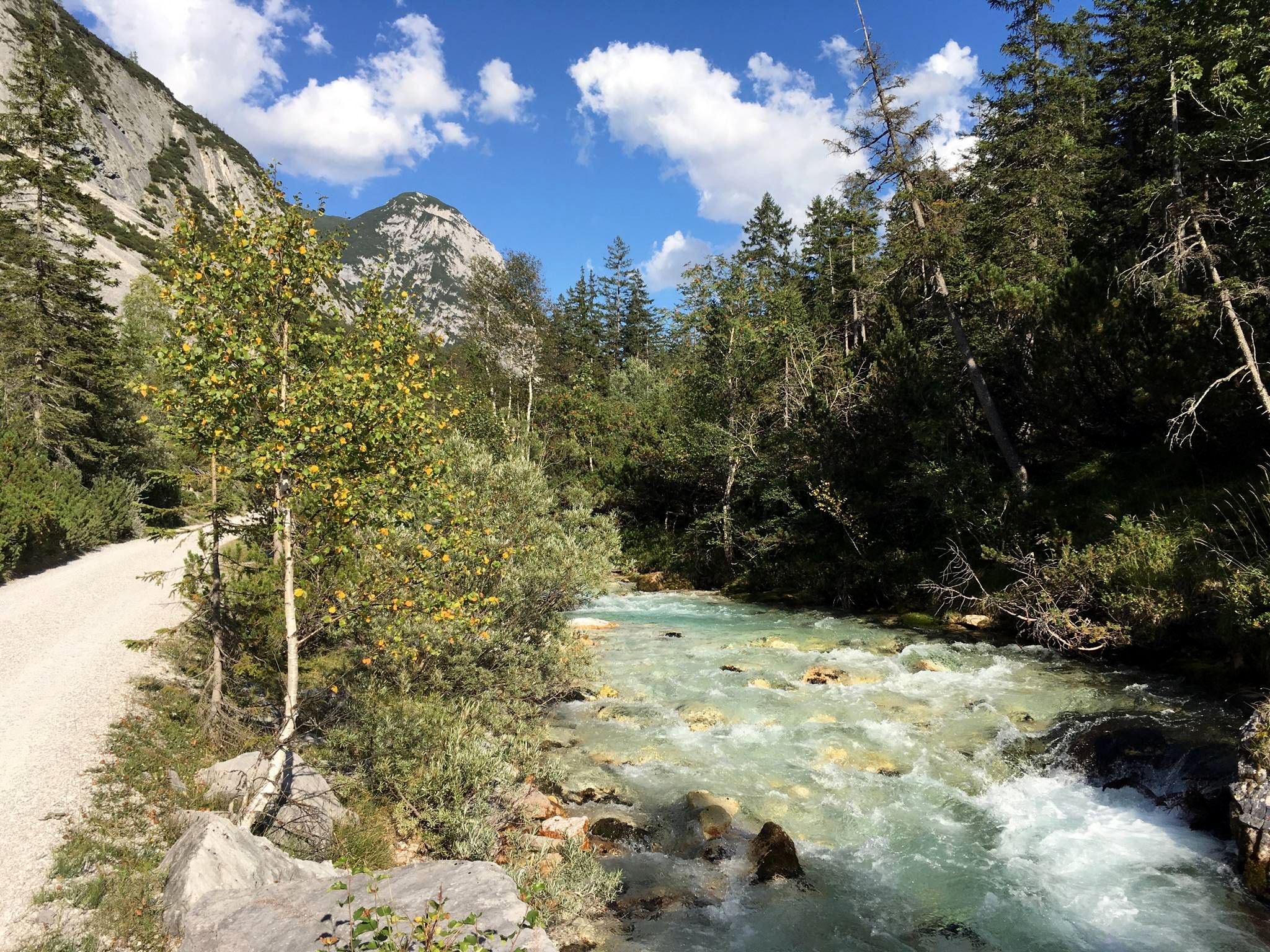
Isar cycle path — From Alpine peaks to the Auenwald (7 stages)
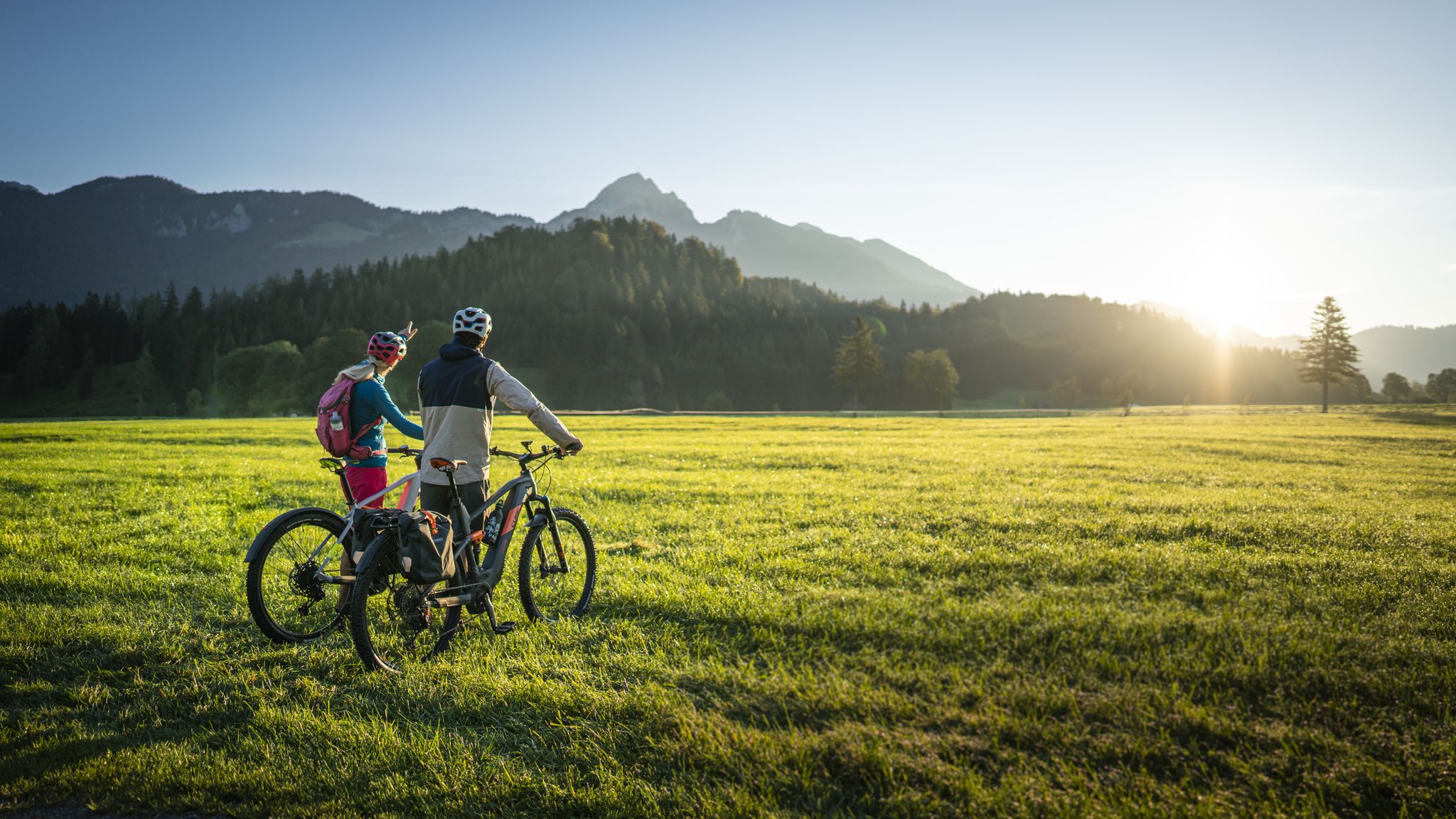
Lake Constance to Königssee cycle path
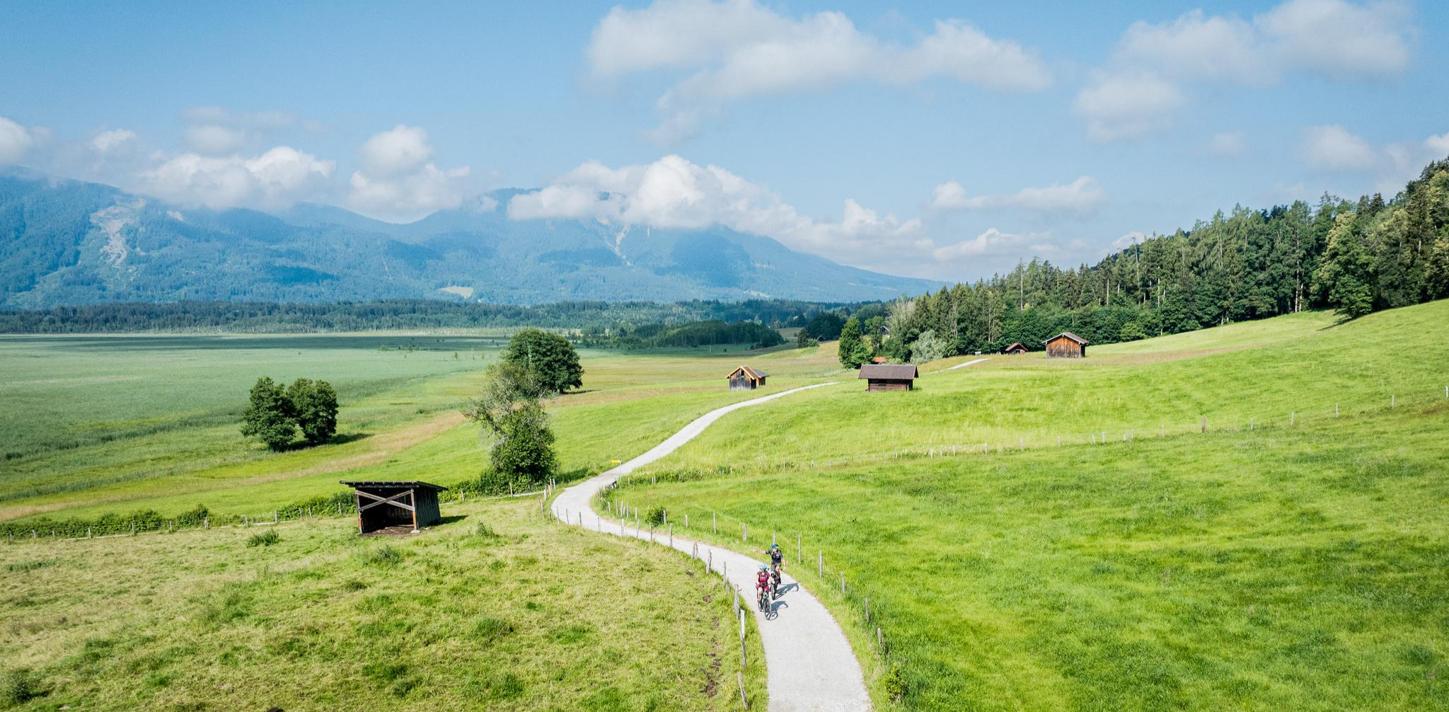
Art and nature by bike – from Munich to the edge of the Alps
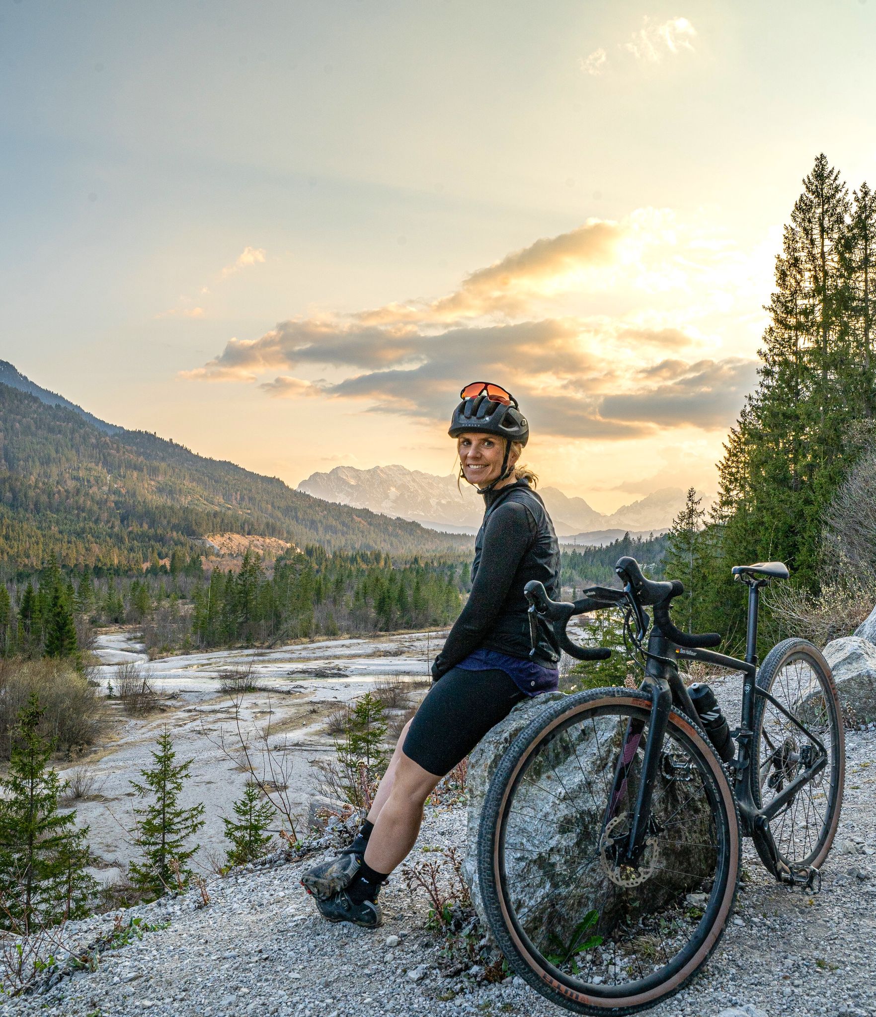
Sara's most beautiful gravel routes – gravel in Tölzer Land
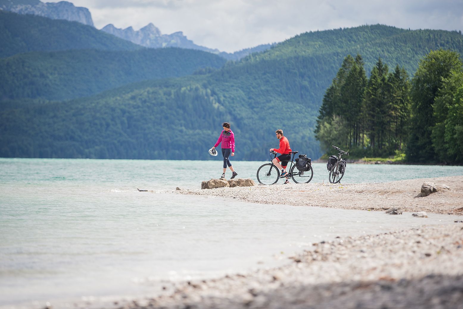
Ride through the countryside around Munich – Water-Cycle Paths
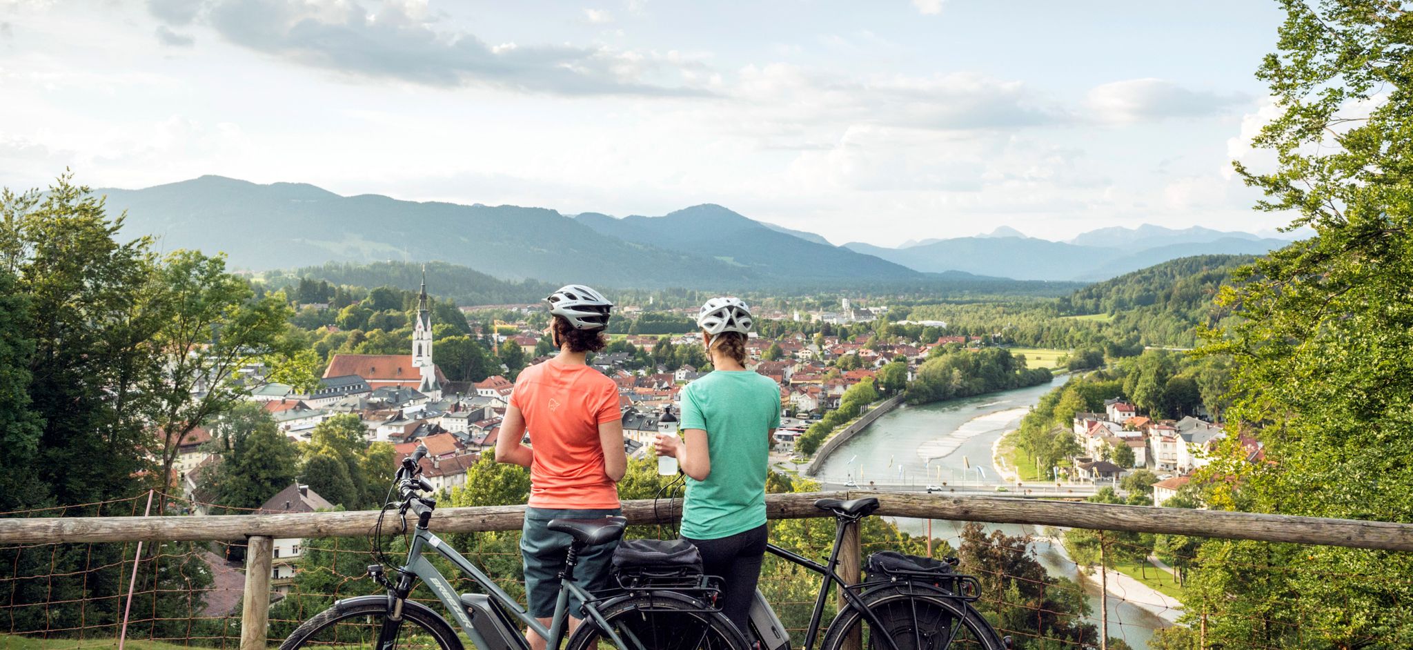
The Art Loop — Wasser-Radlwege Oberbayern
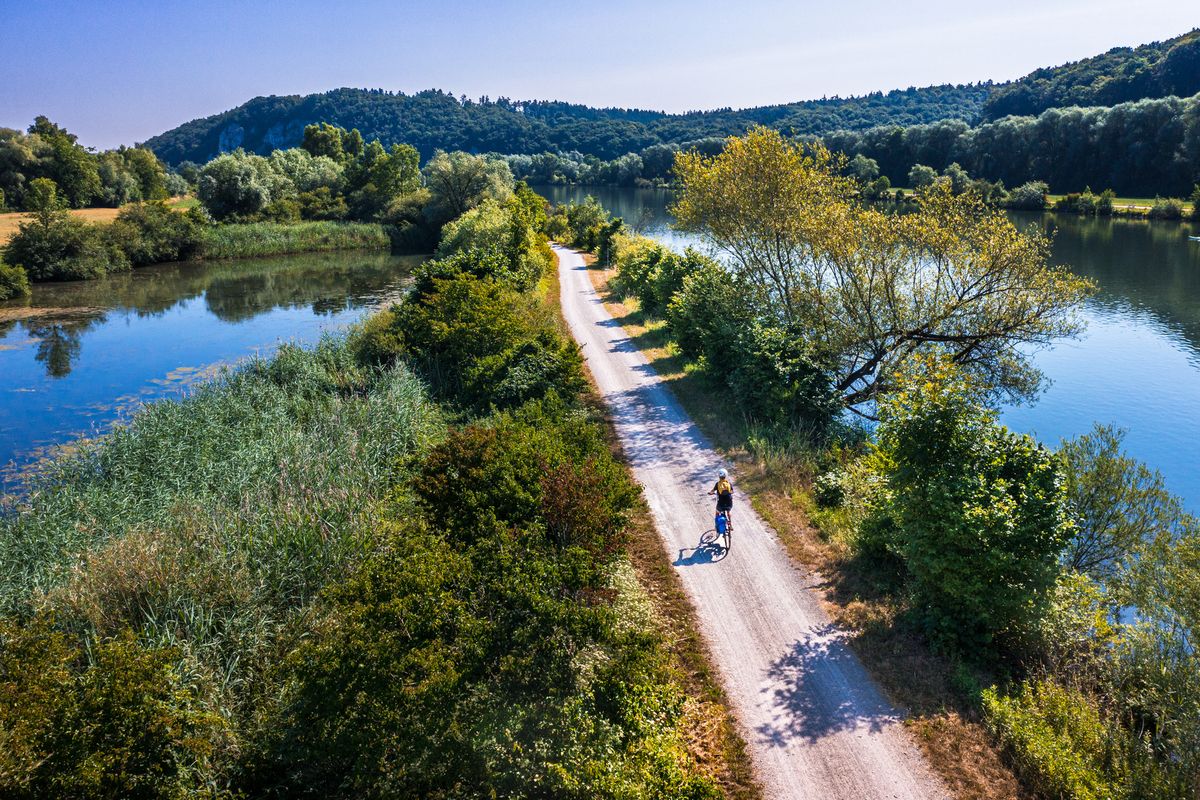
Cycling along rivers and lakes in Bavaria
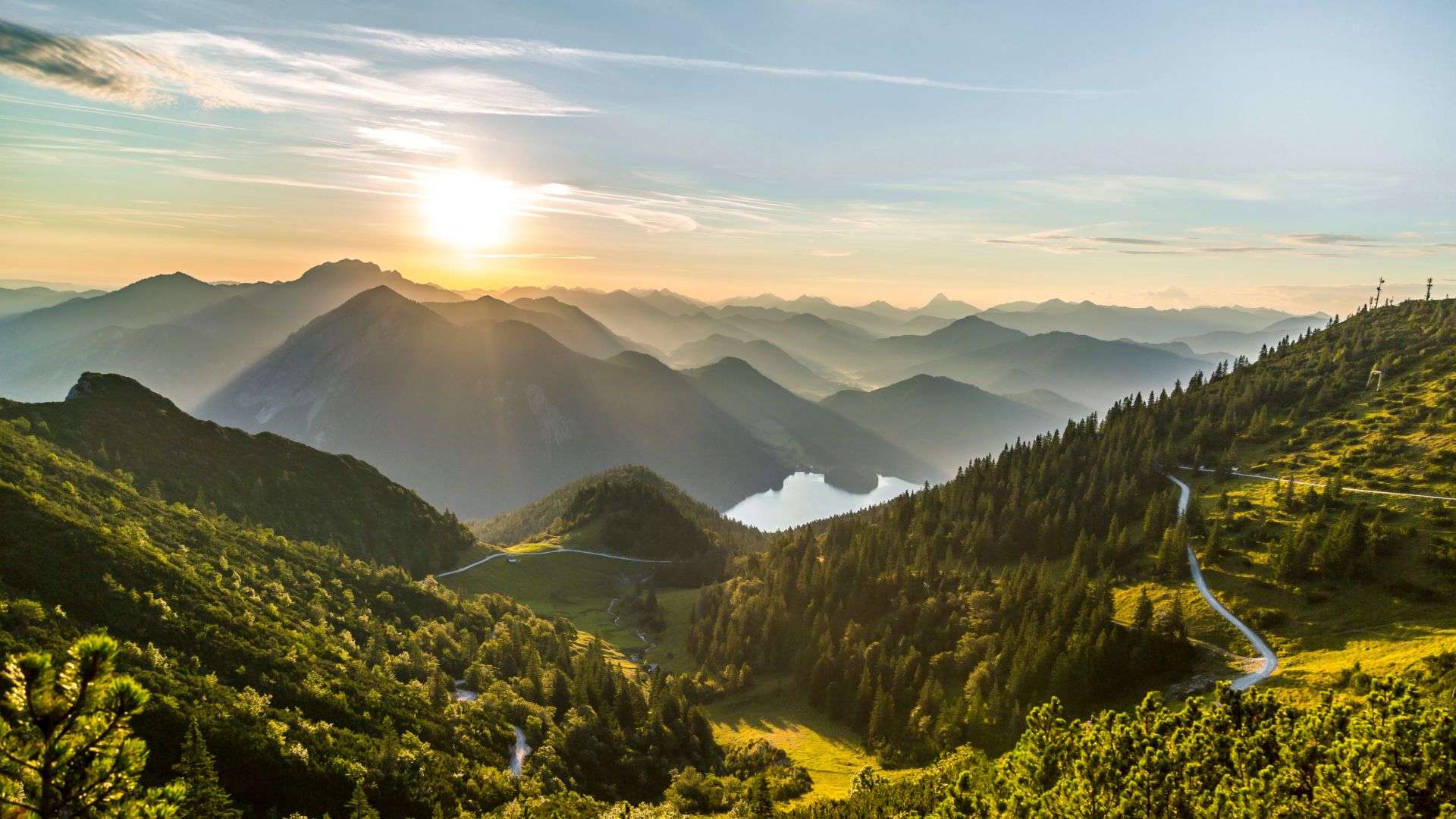
From lake to sea in the Tölzer Land
Other adventures in the Landkreis Bad Tölz-Wolfratshausen


Tips from the Community

Tegernsee delights with its crystal-clear water, impressive mountain scenery, and idyllic lakeside promenades. It lies at an altitude of about 726 meters and was formed during the last ice age. It covers an area of around 6.5 km² and is up to 72 meters deep. Surrounded by the Bavarian Alps, it offers dreamlike views and is a perfect place for any form of outdoor activity, as numerous hiking and cycling trails lead through the beautiful nature around the lake. The constant thermal winds, especially in the afternoon, also make it a challenging area for sailors, windsurfers, and kitesurfers. Those who prefer it quieter can use the early, mirror-smooth morning hours for extended stand-up paddling tours or go rowing and kayaking against the backdrop of the Mangfallgebirge. A real highlight in Upper Bavaria 👍🏼
0
0
Tegernsee delights with its crystal-clear water, the impressive mountain scenery, and the idyllic lakeside promenades. It lies at an altitude of about 726 meters and was formed during the last ice age. It is about 6.5 km² in size and up to 72 meters deep. Surrounded by the Bavarian Alps, it offers dreamlike views and is a perfect place for any form of outdoor activity, as numerous hiking and cycling trails lead through the beautiful nature around the lake. The constant thermal winds, especially in the afternoon, also make it a challenging area for sailors, windsurfers, and kitesurfers. Those who prefer it quieter can use the early, mirror-smooth morning hours for extended stand-up paddling tours or row and kayak against the backdrop of the Mangfallgebirge mountains. A real highlight in Upper Bavaria 👍🏼
0
0

Simply great area. But best to plan it during the week and outside of the holidays ;-)
0
0

Easy and beautiful hike from Kirchsee to Koglsee and back through nature and shady beech forest
0
0

From Kochelsee to the confluence with the Isar It leaves the lake at its northern edge west of Kochel, passes Benediktbeuern and Penzberg, and finally leaves the northern foothills of the Bavarian Alps there. It flows through Eurasburg and empties into the Isar north of Wolfratshausen in the Pupplinger Au floodplain. Source https://de.wikipedia.org/wiki/Loisach
2
0
From the source to the Bavarian border The Loisach rises in the state of Tyrol between the Lechtal Alps in the west and the Mieminger Mountains in the east, below and northeast of the Fern Pass. Its sources are located in the municipality of Biberwier near the Mittersee close to the B 179. From there, its water flows northwards through the Ehrwald Basin and then along the B 187 through Ehrwald and west past the Zugspitze to the German border. From Garmisch-Partenkirchen to Lake Kochel On the Bavarian side, it first passes Griesen in a northeasterly direction and then flows past Grainau to Garmisch, the largest district of Garmisch-Partenkirchen. Afterwards, it continues north between the Ammergau Alps in the west and the Ester Mountains in the east. Via Farchant, Oberau and Eschenlohe as well as past Ohlstadt and Murnau, the Loisach reaches Großweil, where it turns southeast and flows into the western part of Lake Kochel at Schlehdorf north of the Herzogstand. Source https://de.wikipedia.org/wiki/Loisach
3
0
The name is based on the Indo-European root *leubʰ, which means 'dear'. It is derived with an s suffix. The name refers to the pleasant course of the river.[3] Earlier forms of the name are Liubasa (1003), Lyubasa (c. 1052), Liubisaha (1148–1155), Livbisaha (12th century), Liubsaha (1258), Leusach (1332), Leusach (1348), Lewsach (1424), Loysach (1536) and finally 1553 Loisach.[4] Source https://de.wikipedia.org/wiki/Loisach
3
0
The Loisach is a 113.2 km[1] long, south-southwesterly and left tributary of the Isar in Austria and Germany. It rises north of the Fern Pass in Tyrol and flows into the Isar near the Bavarian town of Wolfratshausen after a northeasterly course. Source https://de.wikipedia.org/wiki/Loisach
3
0
Frequently Asked Questions
What kind of landscape can I expect when touring cycling in the Landkreis Bad Tölz-Wolfratshausen?
The region offers a diverse pre-Alpine landscape, characterized by a captivating blend of towering peaks in the south and gentle hills, serene lakes, and gurgling rivers in the north. You'll find vast, pristine floodplains along the Isar River, significant moorlands like the Ellbach- und Kirchseemoor, and stunning lakes such as Walchensee, Kochelsee, and Tegernsee. The terrain varies from flat paths along riverbanks to more challenging routes through the foothills of the Alps.
How many touring cycling routes are available in the Landkreis Bad Tölz-Wolfratshausen?
There are over 1,100 touring cycling routes in the Landkreis Bad Tölz-Wolfratshausen. This includes a wide range of options, with more than 420 easy routes, around 450 moderate routes, and over 250 difficult routes, catering to various skill levels and preferences.
Are there family-friendly touring cycling routes in the region?
Yes, the region offers many family-friendly routes, particularly along the river valleys. The Isar Cycle Path, for instance, is largely off-road and well-maintained, leading through peaceful nature and historic towns. Routes with minimal elevation gain are ideal for families. For example, the Sindelsdorf Alpine Panorama – Sindelsbach Trail and Bridge loop from Bichl is a moderate option with relatively low elevation gain.
What do other touring cyclists enjoy most about the routes in Landkreis Bad Tölz-Wolfratshausen?
The routes in Landkreis Bad Tölz-Wolfratshausen are highly rated by the komoot community, with an average score of 4.5 stars from over 14,000 reviews. Cyclists often praise the diverse landscapes, the well-maintained paths, and the stunning views of the lakes and mountains. The variety of routes, from gentle river paths to more challenging alpine ascents, is also frequently highlighted.
Are there any long-distance cycling paths that pass through the region?
Yes, the Landkreis Bad Tölz-Wolfratshausen is integrated into several prominent long-distance cycling networks. The Isar Cycle Path (Isarradweg) follows the Isar River, and the Loisach Cycle Path (Loisach-Radweg) connects to the Bodensee-Königssee-Radweg, offering extensive touring opportunities both within the district and beyond.
Can I find circular touring cycling routes in the Landkreis Bad Tölz-Wolfratshausen?
Absolutely. Many routes in the region are designed as loops, allowing you to start and end at the same point. Popular circular routes include those around the picturesque lakes. For example, the View of Walchensee – Lake Walchensee loop from Jachenau offers stunning lake views, and the Lake Walchensee – Niedernach Bay loop from Walchensee provides a scenic ride around a section of Walchensee.
What natural attractions can I see along the touring cycling routes?
The region is rich in natural beauty. You can cycle past stunning lakes like Walchensee, Kochelsee, and Tegernsee. The Isar and Loisach rivers offer picturesque stretches, and you might even encounter waterfalls. For example, the Lainbach Waterfall and Glasbach Waterfall are notable highlights. The district also features significant nature reserves, such as the Ellbach- und Kirchseemoor.
Are there any challenging touring cycling routes for experienced cyclists?
Yes, the pre-Alpine setting provides plenty of challenging routes with significant elevation gain. For instance, the Lake Walchensee – Wallgau Panoramic View loop from Obergries is a difficult route covering nearly 80 km with over 560 meters of ascent. Another demanding option is the Wallgau Panoramic View – Wild and romantic Isar loop from Walchensee, which features over 680 meters of climbing.
What are some cultural or historic points of interest accessible by bike?
The charming spa town of Bad Tölz, with its historic old town and traditional Bavarian architecture, is a cultural highlight. Wolfratshausen, nestled between the Loisach and Isar rivers, also offers pleasant stops. Many routes pass through these and other picturesque villages, allowing you to experience local culture and history. The Tegernsee – View of Lake Tegernsee loop from Bad Tölz is a great way to explore the area around Bad Tölz.
Are there opportunities to see mountain peaks while cycling?
Yes, the district extends into the Alps, providing a dramatic backdrop to many cycling routes. You can enjoy fantastic panoramic views of the lakes and the Alps. While cycling, you might catch glimpses of peaks like the Herzogstand and Jochberg. The Herzogstand summit and views of Walchensee and Kochelsee is a particularly renowned viewpoint.
What is the best season for touring cycling in Landkreis Bad Tölz-Wolfratshausen?
The best seasons for touring cycling are generally spring, summer, and autumn. During these months, the weather is most favorable, and the natural landscapes are at their most vibrant. Summer offers warm temperatures perfect for lakeside rides, while spring and autumn provide cooler weather and beautiful foliage, especially in the pre-Alpine areas.
Are there routes that offer views of the Isar River?
The Isar River is a central natural artery in the region, and many touring cycling routes follow its course or offer views of its exceptionally clear waters. The "Isarwinkel" area is particularly recommended. The View of the Alps – View of the Isar loop from Lenggries is an excellent route that highlights the beauty of the Isar valley.
Most popular routes in the Landkreis Bad Tölz-Wolfratshausen
Most popular attractions in the Landkreis Bad Tölz-Wolfratshausen

Get inspired with the komoot mobile app


Didn’t find what you were looking for?
Check out more Cycling routes throughout Landkreis Bad Tölz-Wolfratshausen below and find the perfect route in your destination.
Explore more
Browse the best Cycling routes in other regions.
