The best mountain hikes around Lake Starnberg
74
hikers
17
hikes
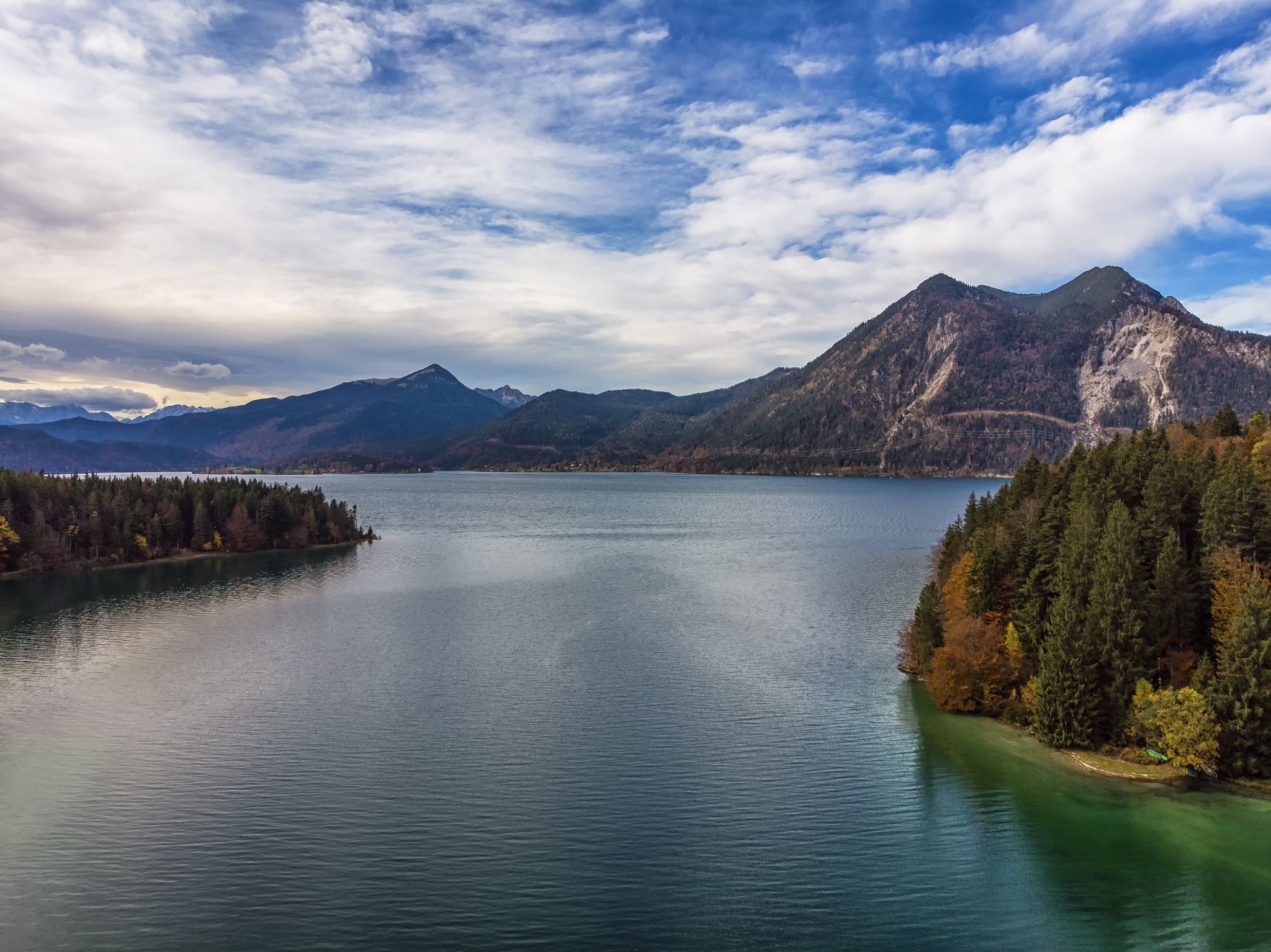
Mountaineering around Lake Starnberg is characterized by its glacial landscape, featuring rolling hills, clear waters, and lush greenery. The region offers panoramic views of the distant Bavarian Alps, including the Zugspitze, from elevated points like Ilkahöhe. The topography includes glacial moraines and natural features such as the Maisinger Gorge, providing varied terrain for mountain hiking.
Best mountaineering routes around Lake Starnberg
- The most popular mountaineering route is Maisinger Seehof Beer Garden – View of Maisinger Gorge loop from Starnberg, a 6.1 miles (9.8 km) trail that takes 2 hours 36 minutes to complete, offering views into the Maisinger Gorge.
- Another top favourite among local mountaineers is Benches at Rüdigerweiher – Vogl Pond loop from Tutzing, a moderate 6.4 miles (10.3 km) path. This route features gentle ascents and views of local ponds.
- Local mountaineers also love the Bismarck Tower Assenhausen – Berg Castle loop from Berg, a 7.5 miles (12.0 km) trail leading through historical sites and offering lake views, often completed in about 3 hours 16 minutes.
- Mountaineering around Lake Starnberg is defined by glacial moraines, scenic lake views, and lush forest paths. The network offers options for different ability levels, with 3 easy and 14 moderate routes available.
- The guide includes highly-rated routes that showcase the best of the region's landscape. More than 74 mountaineers have used komoot to explore Lake Starnberg's varied terrain.
Last updated: May 24, 2026
8
hikers
Moderate mountaineering route. Good fitness required. Easily-accessible paths. Suitable for all skill levels.
3
hikers
10.3km
02:45
120m
120m
Moderate mountaineering route. Good fitness required. Easily-accessible paths. Suitable for all skill levels.

Sign up for free
2
hikers
11.9km
03:15
180m
180m
Moderate mountaineering route. Good fitness required. Easily-accessible paths. Suitable for all skill levels.
2
hikers
Moderate mountaineering route. Good fitness required. Easily-accessible paths. Suitable for all skill levels.
2
hikers
Moderate mountaineering route. Good fitness required. Easily-accessible paths. Suitable for all skill levels.
Get access to more routes and recommendations from other explorers.
Sign up for free
Already have an account?
Our route recommendations are based on thousands of hikes, rides, and runs completed by other people on komoot.
Start today with a free account
Your next adventure awaits.
Login or Signup
Popular around Lake Starnberg
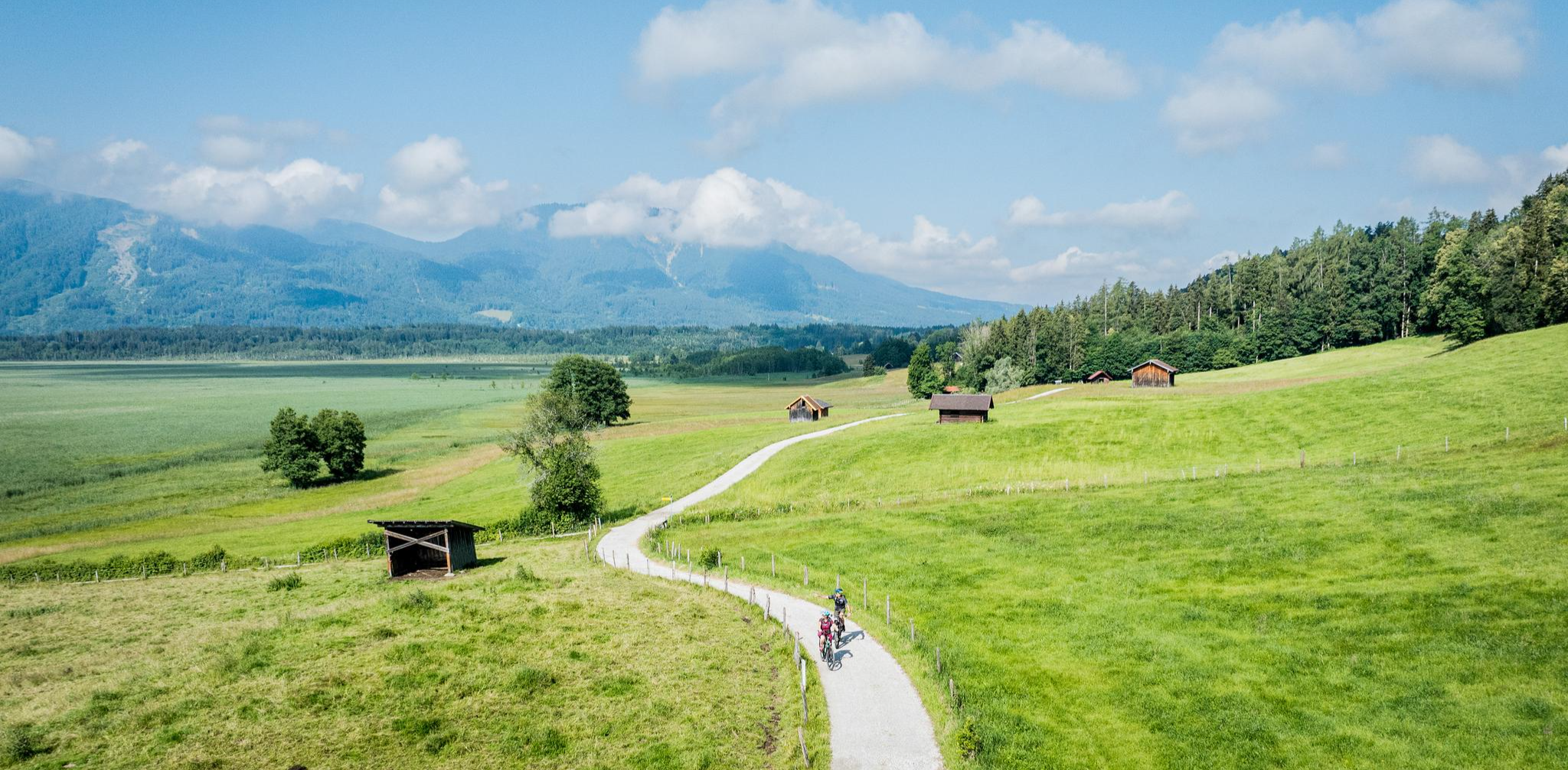
Art and nature by bike – from Munich to the edge of the Alps
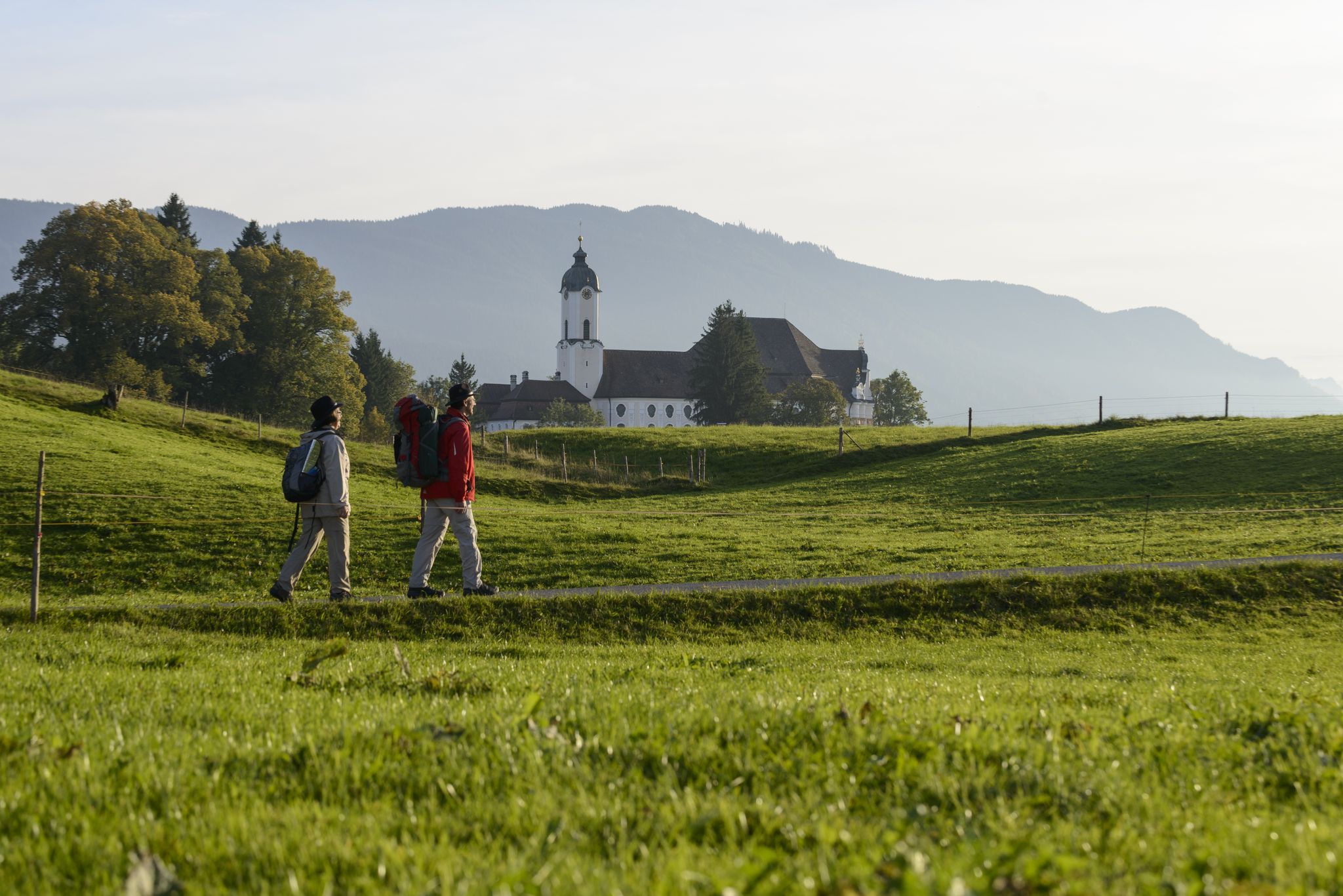
König-Ludwig-Weg: On the trails of Bavaria's fairytale König
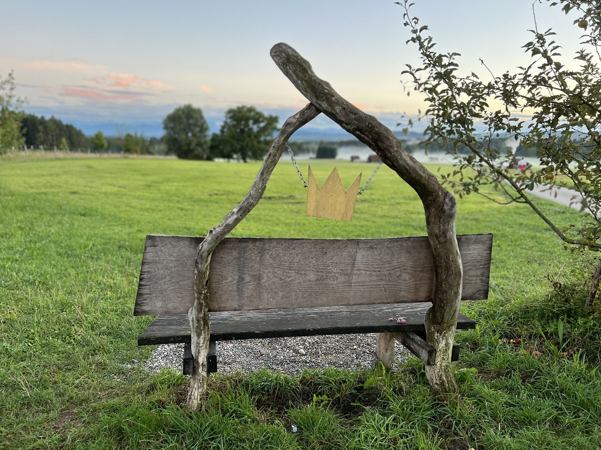
Hike the King Ludwig Trail – in the footsteps of a Bavarian king

Thousands of kilometres of hiking fun – long-distance hiking trails in Bavaria
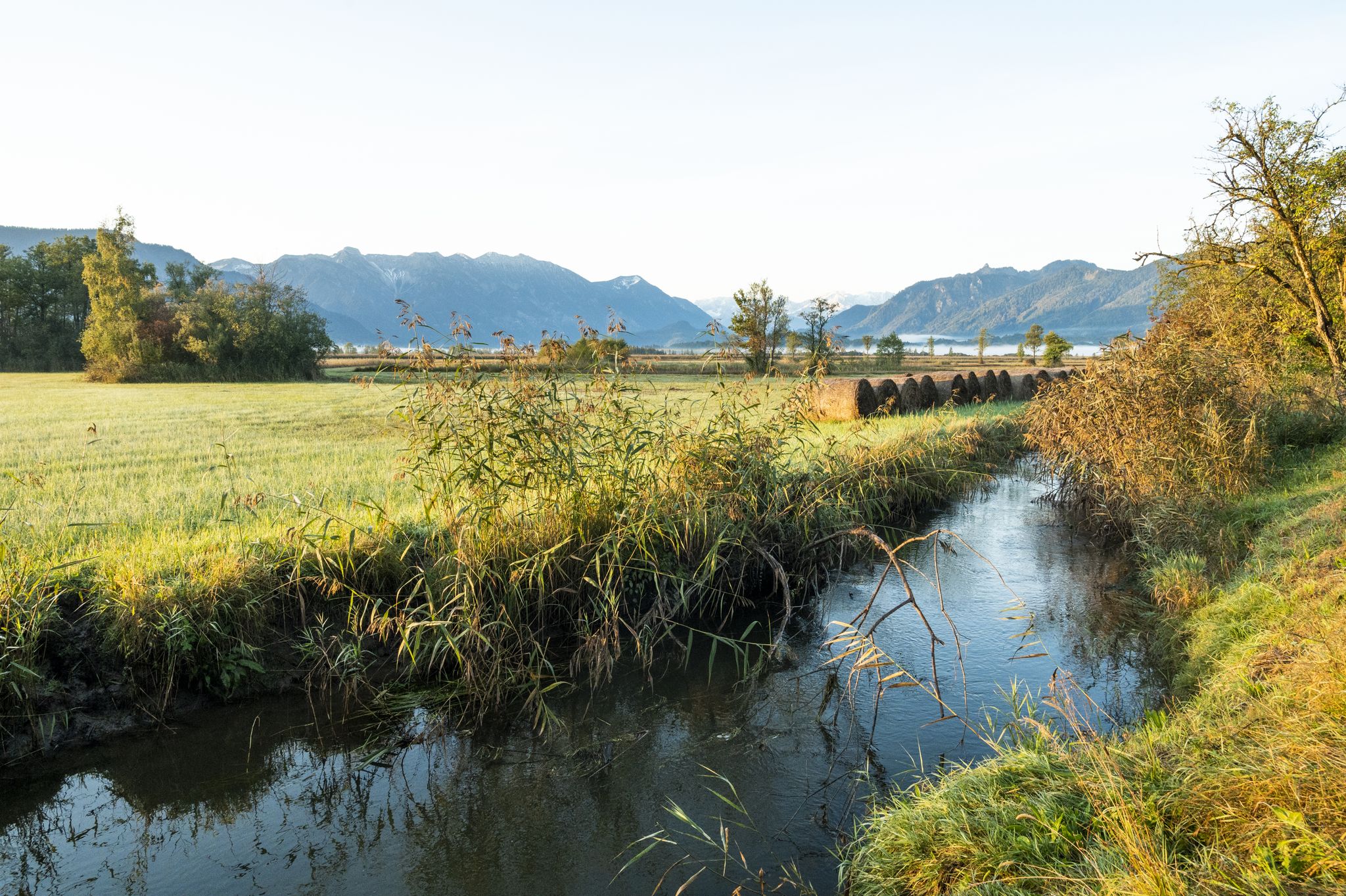
Water & Art – inspiring Tours around Weilheim & Murnau
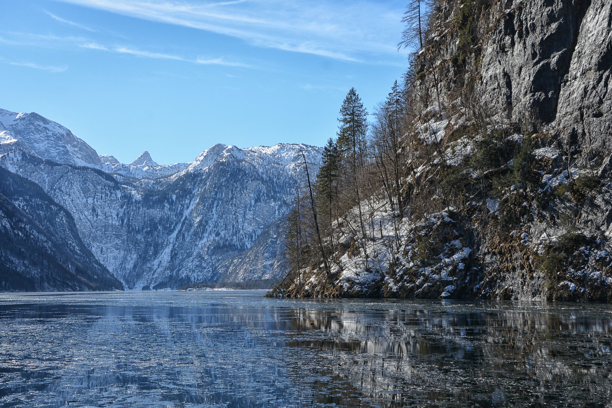
Winter in Upper Bavaria – 8 wonderful hikes
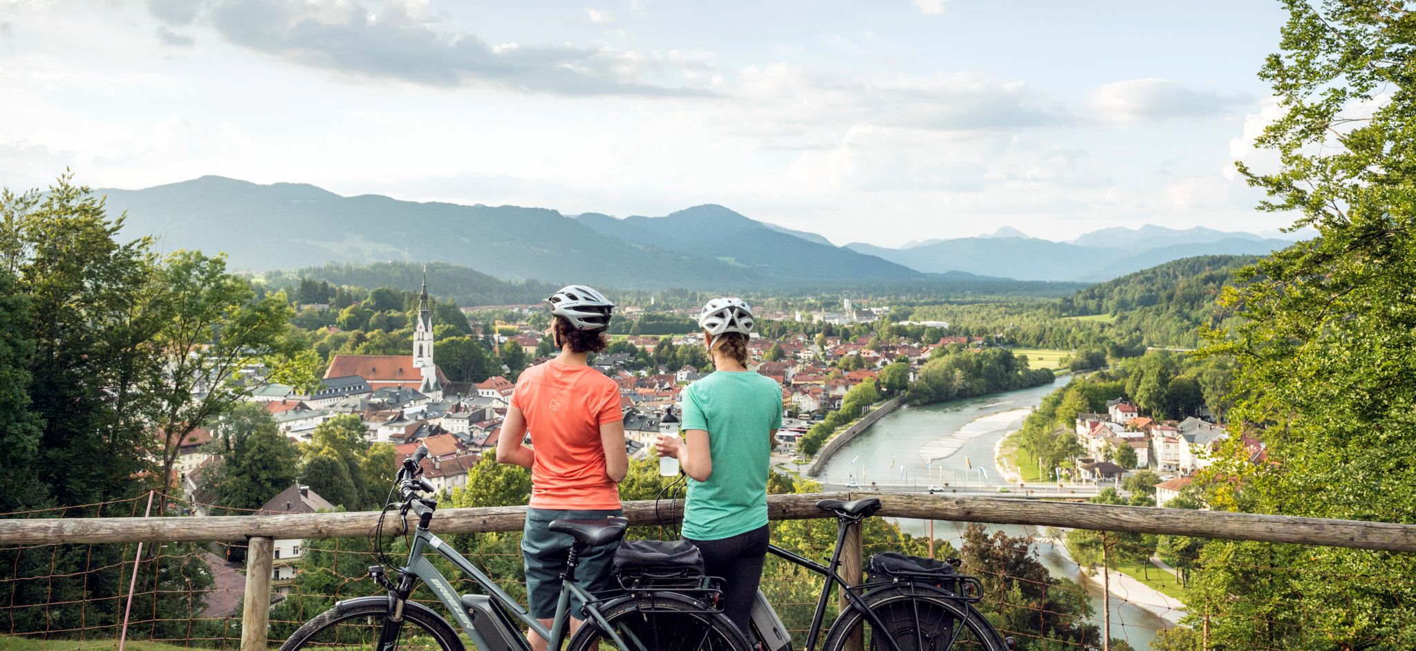
The Art Loop — Wasser-Radlwege Oberbayern
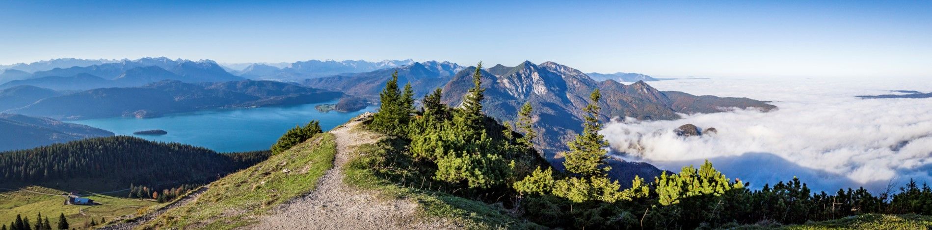
Fairytale landscapes & alpine foothills - hiking in the Tölzer Land in Bavaria
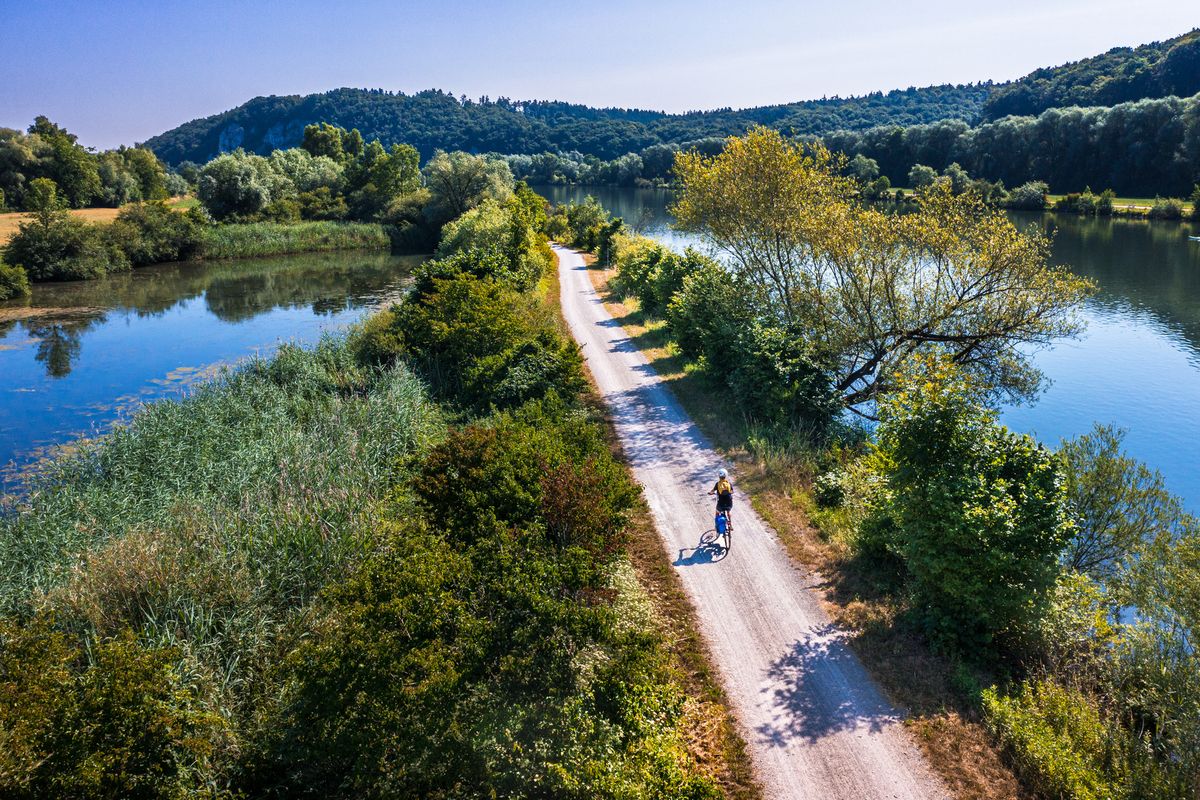
Cycling along rivers and lakes in Bavaria
Autumn hikes around Munich
Other adventures around Lake Starnberg


Tips from the Community

An idyllically situated small pond, which, with its calm water surface and surrounding trees, offers a wonderful break from the path.
3
0

A lovely spot by the lake to rest.
2
0
small hidden lake on the edge of the Deixelfurt lakes
2
0

From there you have a magnificent view of the lake.
0
0

Berg Castle in Berg on Lake Starnberg. Unfortunately, almost nothing can be seen from the land side.
0
0

At the water rescue station you can get directly to the lake.
4
0

Nagelfluh is a rather strange rock that doesn't fit into the usual classification and is by no means a typical sediment. In fact, it's simply gravel that has solidified over extremely long periods of time, not through the usual geological processes, nor through pressure, but purely chemically and solely through the infiltration of calcareous water! Depending on how complete this chemical bonding has been so far, the rock is somewhat porous and sometimes somewhat crumbly. The components of Nagelfluh are incredibly diverse, just like the pebbles and boulders found in ordinary streams and rivers or gravel pits.
0
1

Frequently Asked Questions
What kind of mountain hiking routes can I find around Lake Starnberg?
Lake Starnberg offers a diverse range of mountain hiking routes, primarily featuring easy and moderate difficulty levels. You'll find paths that wind through lush forests, offer scenic lake views, and ascend gentle hills formed by glacial moraines, providing panoramic vistas of the distant Bavarian Alps.
Are there any easy mountain hiking trails suitable for beginners or a relaxed outing?
Yes, there are several easy mountain hiking routes. For instance, the region offers 3 easy routes perfect for those looking for a less strenuous experience while still enjoying the beautiful scenery. These trails are generally well-maintained and offer gentle ascents.
Which mountain hiking routes offer the best views of Lake Starnberg and the Alps?
Many routes provide stunning views. The Ilkahöhe mountain, easily accessible from Tutzing, is renowned for its panoramic vistas of Lake Starnberg and the distant Alps, including Zugspitze. You can experience this on routes like the Benches at Rüdigerweiher – Ilkahöhe Forester's Lodge loop from Traubing, which includes elevated sections with excellent viewpoints.
Are there family-friendly mountain hiking options around Lake Starnberg?
Absolutely. The region has routes suitable for families. The Maisinger Gorge loop is particularly recommended for its natural beauty and manageable terrain. A great option is the Maisinger Seehof Beer Garden – View of Maisinger Gorge loop from Starnberg, which offers engaging scenery for all ages.
What natural features or landmarks can I expect to see along the mountain hiking trails?
The trails often lead through a landscape shaped by glaciers, featuring clear waters and lush greenery. You can explore natural wonders like the Maisinger Gorge and the Lake Maisinger. Additionally, you might encounter historical sites such as the Bismarck Tower Assenhausen, which is part of the Bismarck Tower Assenhausen – Berg Castle loop from Berg.
Are the mountain hiking routes around Lake Starnberg typically circular?
Many of the mountain hiking routes in the Lake Starnberg area are designed as loops, allowing you to start and end at the same point without retracing your steps. For example, the Benches at Rüdigerweiher – Vogl Pond loop from Tutzing is a popular circular path.
What is the typical duration for a mountain hiking tour in this region?
The duration of mountain hiking tours around Lake Starnberg varies depending on the route's length and your pace. Many moderate routes, like the Ammerland Pier, Lake Starnberg – Salchstattbach Wooden Bridge loop from Münsing, can be completed in about 2 to 3 hours, offering a good balance of activity and scenic enjoyment.
Are there any less crowded mountain hiking trails for a more peaceful experience?
While some routes are popular, the region offers numerous trails, and exploring options slightly off the main tourist paths can lead to a more tranquil experience. Look for routes that venture into the quieter forest areas or less frequented parts of the glacial landscape for a peaceful hike.
Can I access mountain hiking trails around Lake Starnberg using public transport?
Yes, several towns around Lake Starnberg, such as Starnberg and Tutzing, are well-connected by public transport, making it possible to reach trailheads without a car. It's advisable to check local bus and train schedules to plan your access to specific starting points.
What is the best time of year for mountain hiking around Lake Starnberg?
The best time for mountain hiking around Lake Starnberg is typically from spring through autumn, when the weather is mild and the trails are clear. Spring brings lush greenery and blooming flowers, while autumn offers vibrant foliage. Summer is also popular, but trails can be busier.
What do other mountaineers enjoy most about the routes around Lake Starnberg?
Mountaineers often praise the region for its varied terrain, which includes scenic lake views, lush forest paths, and gentle ascents that provide stunning panoramas of the distant Alps. The well-maintained trails and the opportunity to explore both natural beauty and charming lakeside villages are frequently highlighted.
Most popular routes around Lake Starnberg
Most popular attractions around Lake Starnberg

Get inspired with the komoot mobile app


Explore more
Browse the best Mountain Hikes & Routes in other regions.
