The best waterfall hikes and walks around Lake Starnberg
4.5
(11664)
60,048
hikers
19
hikes
Waterfall hiking trails around Lake Starnberg traverse a diverse landscape shaped by glacial activity, offering varied terrain for outdoor enthusiasts. The region features clear waters, lush greenery, and views of the Bavarian Alps. Hikers can explore river valleys, extensive moorlands, and remnants of glacial moraines, providing a mix of natural environments.
Best waterfall hiking trails around Lake Starnberg
- The most popular waterfall hiking route is View of Ammersee and Dießen – Andechs Abbey loop from Pähl, a 13.5 miles (21.7 km) trail that takes 5 hours 53 minutes to complete. This challenging route offers views of Ammersee and leads towards Andechs Abbey.
- Another top favourite among local hikers is View of Ammersee and Dießen – Lake Ammer loop from Pähl, a difficult 17.9 miles (28.8 km) path. This route provides expansive views of Ammersee and its surroundings.
- Local hikers also love the Herrsching Pier – Lake Ammer loop from Frieding, a 10.8 miles (17.5 km) trail leading through varied landscapes, often completed in about 4 hours 43 minutes.
- Hiking around Lake Starnberg is defined by glacial formations, views of the Bavarian Alps, and serene river valleys. The network offers options for different ability levels, from moderate paths to more challenging ascents.
- The routes in Lake Starnberg are highly rated by the komoot community with an average score of 4.6 stars from over 11000 reviews. More than 58000 hikers have used komoot to explore Lake Starnberg's varied terrain.
Last updated: June 25, 2026
4.8
(50)
181
hikers
21.7km
05:53
300m
300m
Hard hike. Very good fitness required. Easily-accessible paths. Suitable for all skill levels.
4.7
(7)
33
hikers
28.7km
07:43
350m
350m
Hard hike. Very good fitness required. Easily-accessible paths. Suitable for all skill levels.

Sign up for free
4.8
(10)
26
hikers
17.6km
04:45
240m
240m
Moderate hike. Good fitness required. Easily-accessible paths. Suitable for all skill levels.
5.0
(3)
10
hikers
22.2km
05:57
270m
270m
Hard hike. Very good fitness required. Easily-accessible paths. Suitable for all skill levels.
4.5
(2)
8
hikers
3.74km
01:01
60m
60m
Easy hike. Great for any fitness level. Easily-accessible paths. Suitable for all skill levels.
Get access to more routes and recommendations from other explorers.
Sign up for free
Already have an account?
Our route recommendations are based on thousands of hikes, rides, and runs completed by other people on komoot.
Start today with a free account
Your next adventure awaits.
Login or Signup
Popular around Lake Starnberg
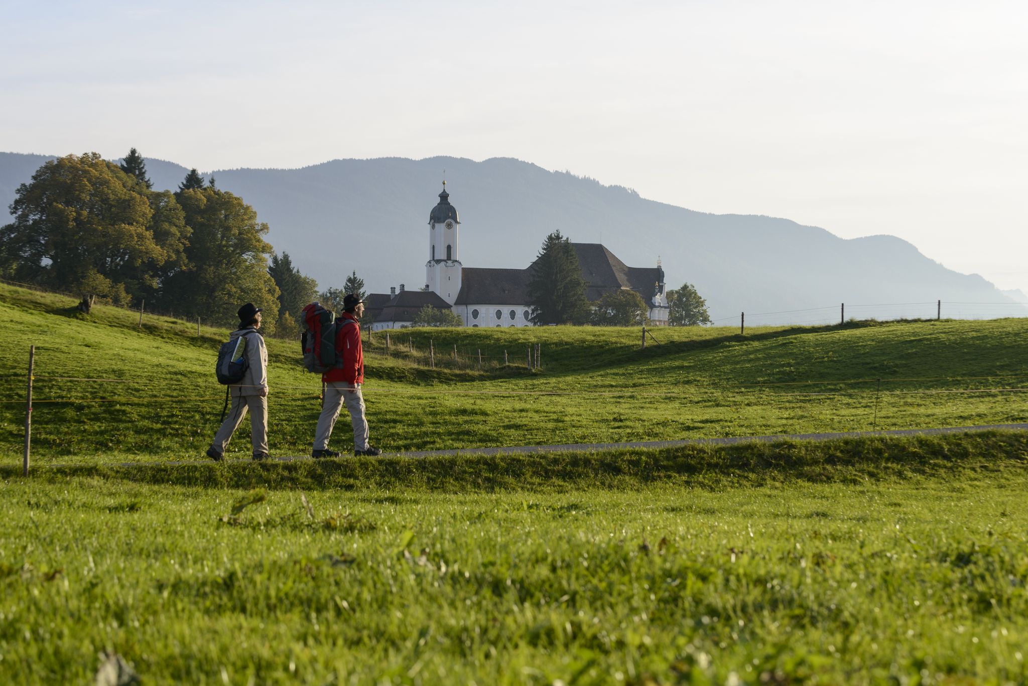
König-Ludwig-Weg: On the trails of Bavaria's fairytale König
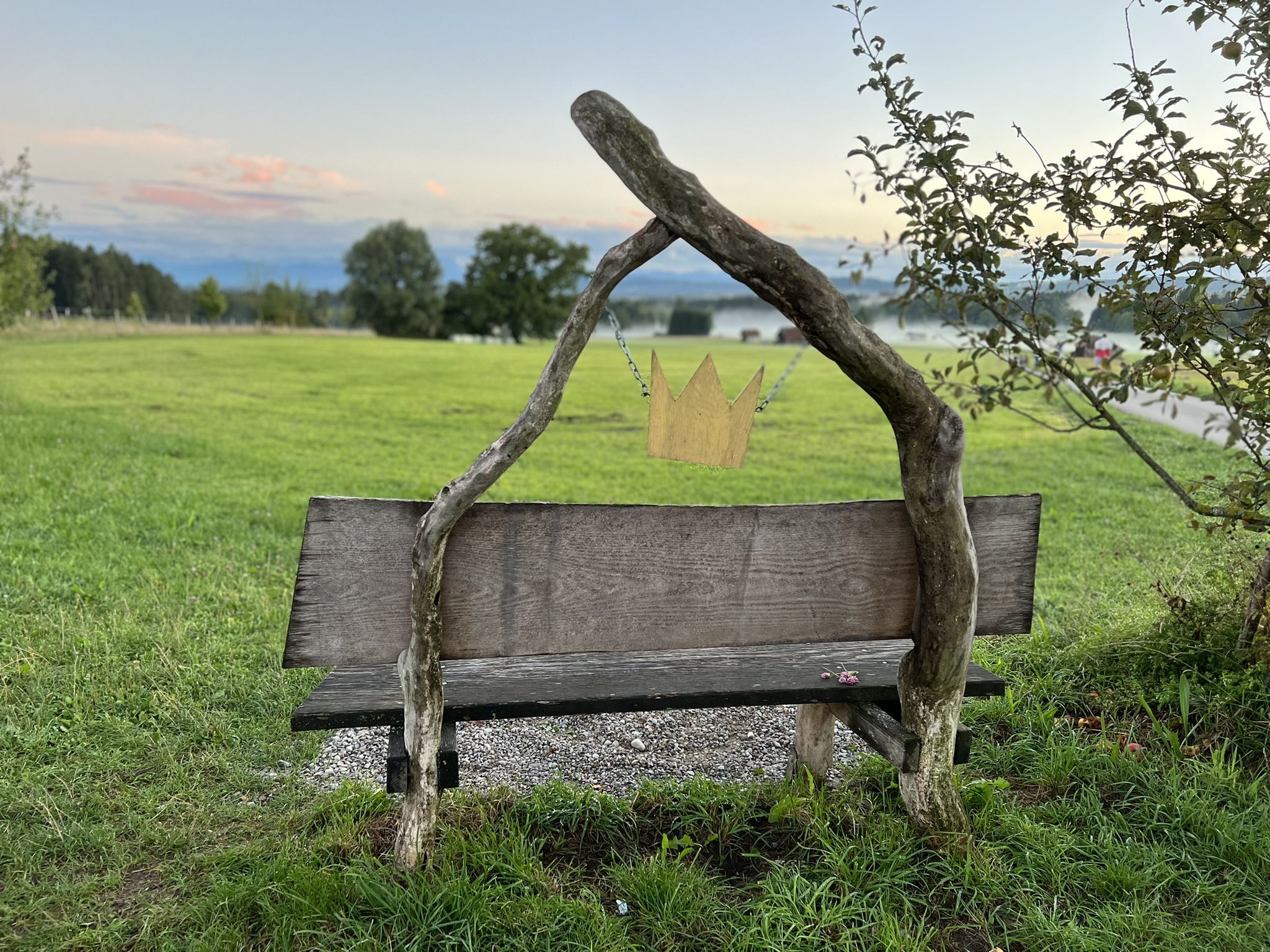
Hike the King Ludwig Trail – in the footsteps of a Bavarian king

Thousands of kilometres of hiking fun – long-distance hiking trails in Bavaria
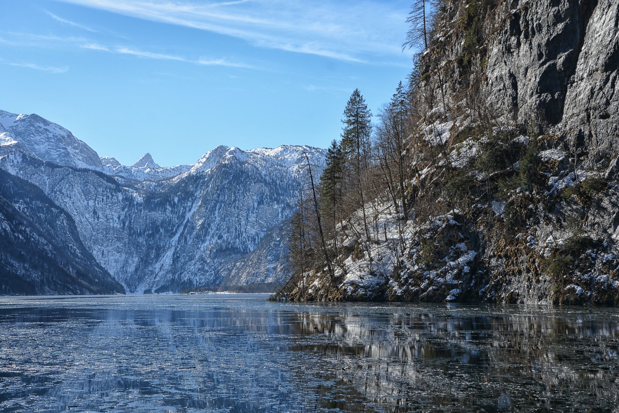
Winter in Upper Bavaria – 8 wonderful hikes
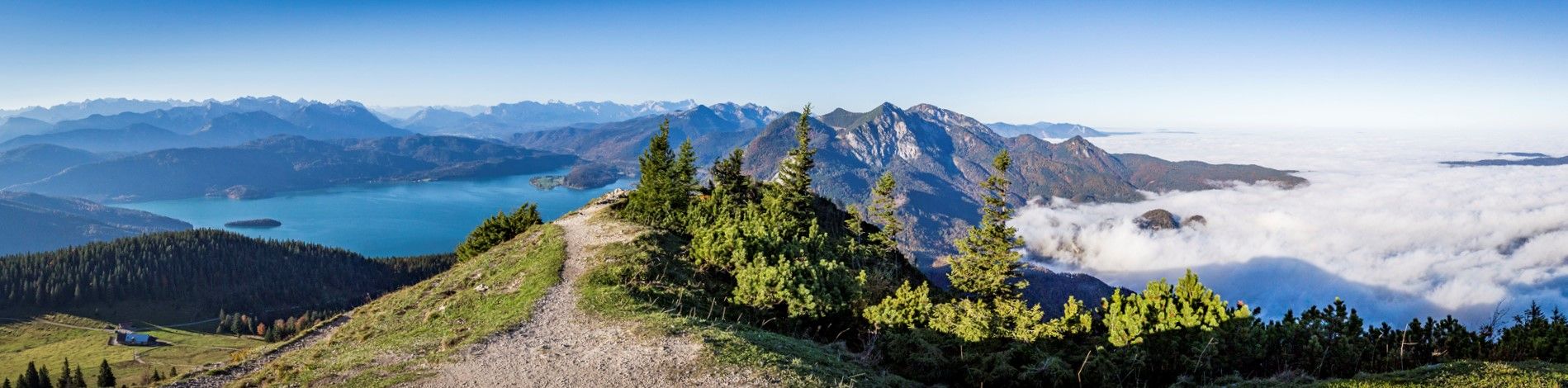
Fairytale landscapes & alpine foothills - hiking in the Tölzer Land in Bavaria
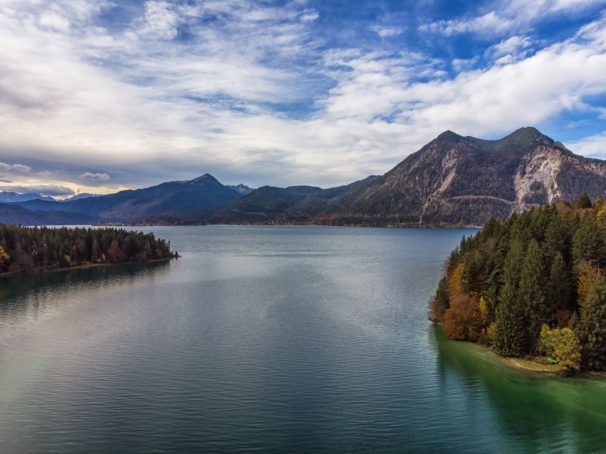
Autumn hikes around Munich
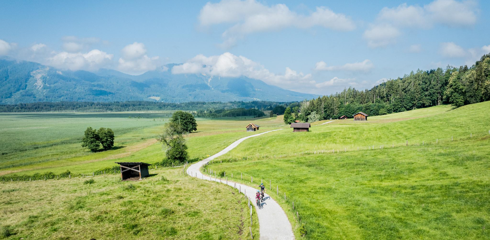
Art and nature by bike – from Munich to the edge of the Alps
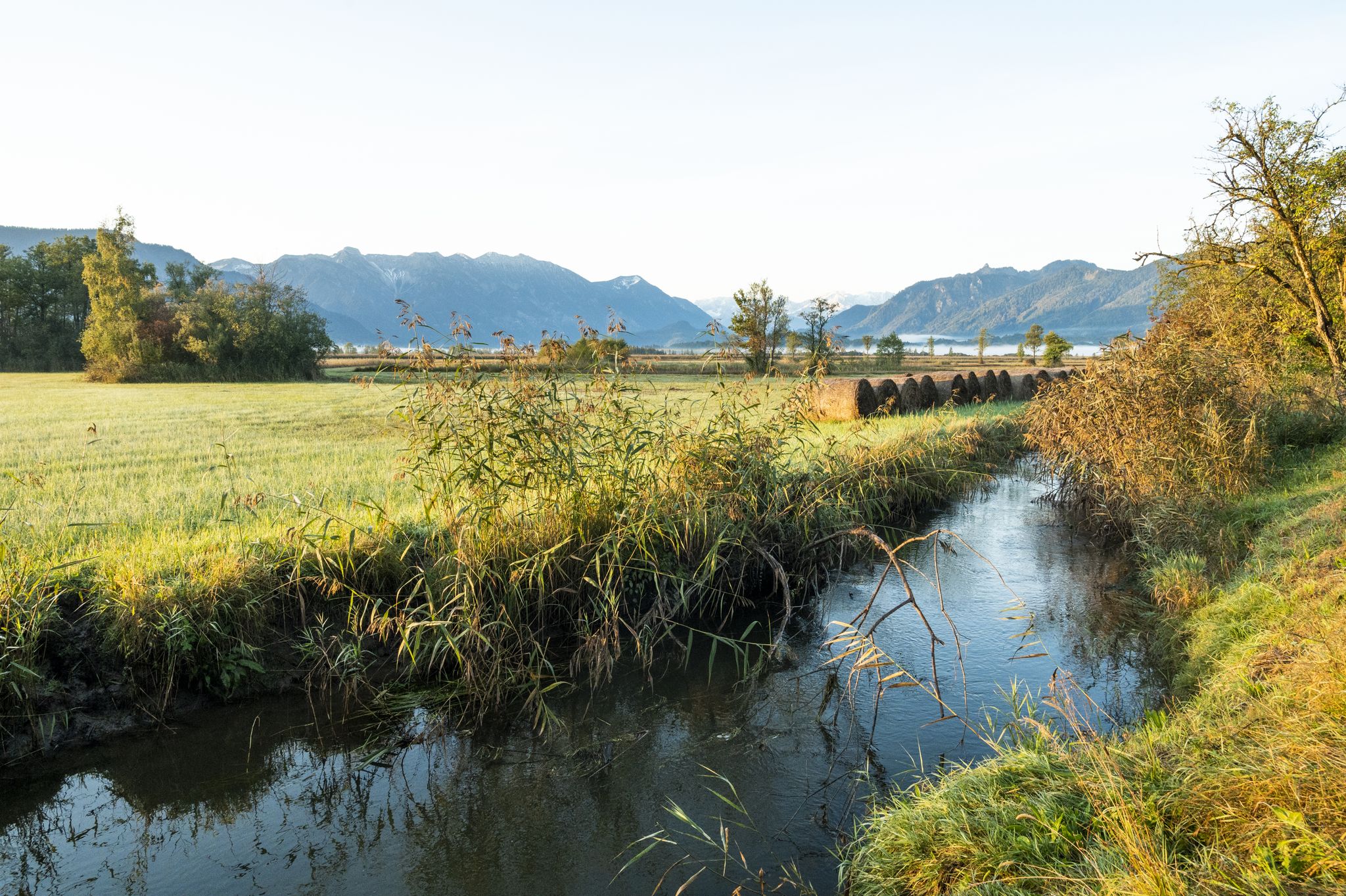
Water & Art – inspiring Tours around Weilheim & Murnau
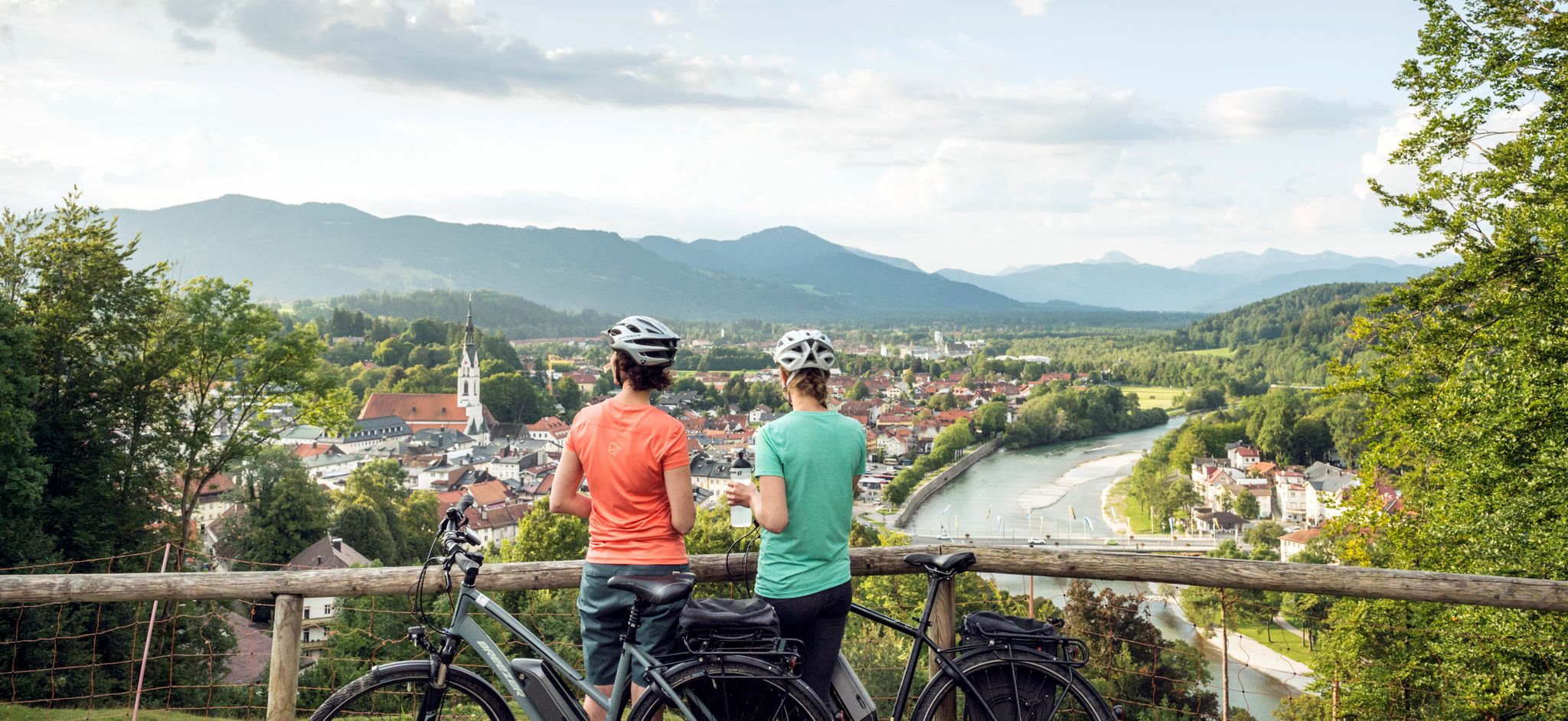
The Art Loop — Wasser-Radlwege Oberbayern
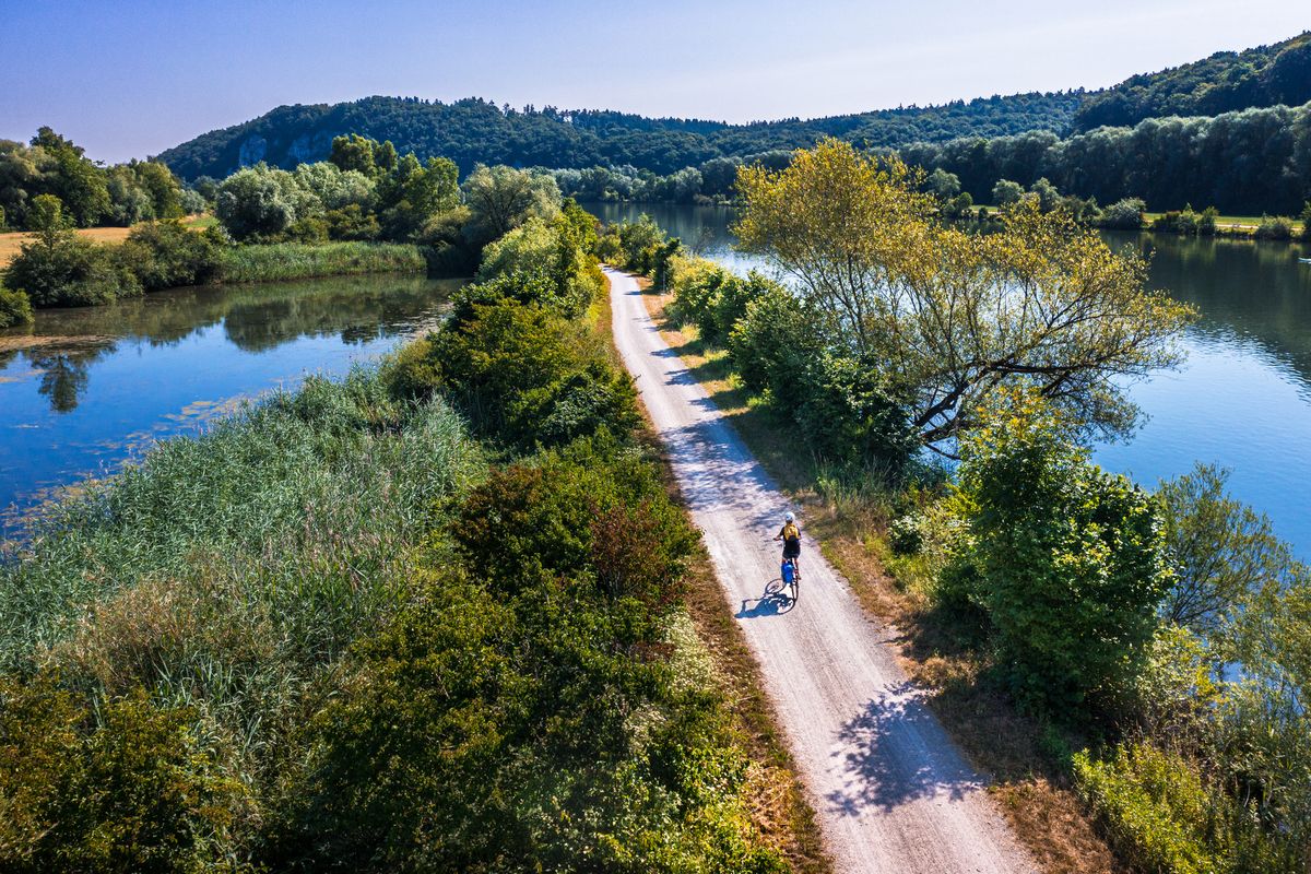
Cycling along rivers and lakes in Bavaria
Other adventures around Lake Starnberg


Tips from the Community

One of the numerous bathing opportunities. However, it only slopes gently here - elsewhere, warnings indicate that it quickly becomes deep.
0
0

beautiful hiking trail at the waterfall
0
0
great path by the water
0
0
the path leads to this great view
0
0
great stairs are fun to walk
0
0

On the ridge trail, you should actually bring a blanket, and not just lie alone in the sun, eat and drink something, and then hike back.
0
0

A beautiful viewpoint with a sweeping view across Lake Ammersee to the picturesque town of Dießen. The sparkling water, the rolling hills, and, on a clear day, the Alpine panorama create a true holiday feeling ✨. Perfect for a short break, to breathe deeply and enjoy – especially impressive in the morning or evening light 🌅📸.
7
0
Frequently Asked Questions
What kind of waterfall hiking trails can I expect around Lake Starnberg?
The Lake Starnberg region, shaped by glacial activity, offers a diverse landscape for waterfall hikes. You'll find trails traversing serene river valleys, extensive moorlands, and remnants of glacial moraines, often with views of the Bavarian Alps. While the guide focuses on 'waterfall hikes,' the region is more known for its varied terrain and water features like gorges and streams rather than large, dramatic waterfalls. The trails range from moderate paths to more challenging ascents.
How many waterfall hiking trails are available in the Lake Starnberg area?
There are over 15 waterfall hiking trails documented around Lake Starnberg, offering a variety of options for different skill levels and preferences. In total, komoot lists 19 routes in this category.
Are there any easy waterfall hikes suitable for beginners or families?
Yes, the Lake Starnberg area offers several easier options. Out of the 19 available routes, 5 are classified as easy, making them suitable for beginners or families looking for a more relaxed experience. These trails often lead through peaceful village-like surroundings and natural gorges.
What is the general difficulty level of waterfall hikes around Lake Starnberg?
The waterfall hikes around Lake Starnberg cater to various fitness levels. You'll find a good mix: 5 routes are considered easy, 10 are moderate, and 4 are classified as difficult. This ensures there's a suitable trail whether you're looking for a leisurely stroll or a more challenging adventure.
What do other hikers say about the waterfall trails in Lake Starnberg?
The trails around Lake Starnberg are highly regarded by the komoot community, boasting an average rating of 4.6 stars from over 11,000 reviews. Hikers frequently praise the diverse terrain, the stunning views of the Bavarian Alps, and the well-maintained paths that lead through lush greenery and along clear waters.
Are there any specific natural attractions or landmarks to see along these waterfall hikes?
Absolutely! Many trails offer opportunities to explore the region's natural beauty. You might encounter highlights such as the tranquil Maisinger Gorge, the scenic Starzenbach Gorge, or the picturesque Lake Maisinger. Some routes also provide expansive views of Lake Starnberg and the surrounding mountain panorama from viewpoints like Beautiful view over Lake Starnberg to the Alps.
Can I bring my dog on the waterfall hiking trails around Lake Starnberg?
Many trails in the Lake Starnberg region are dog-friendly, allowing you to enjoy the natural beauty with your canine companion. However, it's always advisable to check specific trail regulations or local signage, especially in nature reserves, and to keep your dog on a leash where required for their safety and the protection of wildlife.
What is the best time of year to go waterfall hiking near Lake Starnberg?
The Lake Starnberg region is beautiful year-round. Spring and autumn offer pleasant temperatures and vibrant colors, while summer is ideal for combining hikes with lake activities. Even in winter, the landscape can be stunning, though some paths might be icy or less accessible, so check conditions beforehand.
Are there any circular waterfall hiking routes in the area?
Yes, many of the hiking trails around Lake Starnberg are designed as loops, allowing you to start and end at the same point. For example, the View of Ammersee and Dießen – Andechs Abbey loop from Pähl is a challenging circular route, and the Herrsching Pier – Lake Ammer loop from Frieding offers a moderate circular experience.
How long do the waterfall hikes typically take around Lake Starnberg?
The duration of the hikes varies significantly depending on the route's length and difficulty. Easy trails might take just a couple of hours, while more challenging routes, like the View of Ammersee and Dießen – Lake Ammer loop from Pähl, can take nearly 8 hours to complete. Always check the estimated duration for your chosen trail.
Is public transport available to reach the starting points of these waterfall trails?
The Lake Starnberg region is generally well-connected by public transport, including train and bus services, which can take you to many of the charming lakeside villages and trailheads. It's recommended to check local transport schedules for specific starting points of your chosen waterfall hike.
Are there places to eat or stay near the waterfall hiking trails?
Yes, the charming lakeside villages around Lake Starnberg, such as Starnberg, Tutzing, Possenhofen, and Berg, offer a variety of cafes, restaurants, and accommodation options. These villages are often starting points or pass-through locations for many hiking routes, making it convenient to find refreshments or lodging.
Most popular routes around Lake Starnberg
Most popular attractions around Lake Starnberg

Get inspired with the komoot mobile app


Explore more
Browse the best Hikes in other regions.
