The best road cycling routes around Ballyculter Upper
173
riders
37
rides
Road cycling routes around Ballyculter Upper offer a diverse landscape for cyclists. The region features a mix of coastal roads, views of harbors, and routes through woodlands and agricultural areas. Elevation changes are present, ranging from gentle inclines to more challenging climbs, providing varied terrain for different skill levels. The area is characterized by its proximity to the sea and a network of country lanes.
Best road cycling routes around Ballyculter Upper
- The most popular road cycling route is Ballyhornan…
Last updated: July 6, 2026
19
riders
49.6km
02:14
340m
340m
Moderate road ride. Good fitness required. Mostly well-paved surfaces and easy to ride.
10
riders
139km
06:02
1,060m
1,060m
Hard road ride. Very good fitness required. Some segments of this route may be unpaved and difficult to ride.

Sign up for free
8
riders
39.3km
01:35
180m
180m
Easy road ride. Great for any fitness level. Mostly well-paved surfaces and easy to ride.
9
riders
101km
04:32
970m
970m
Hard road ride. Very good fitness required. Some segments of this route may be unpaved and difficult to ride.
9
riders
23.5km
00:56
120m
120m
Easy road ride. Great for any fitness level. Mostly well-paved surfaces and easy to ride.
Get access to more routes and recommendations from other explorers.
Sign up for free
Already have an account?
Our route recommendations are based on thousands of hikes, rides, and runs completed by other people on komoot.
Start today with a free account
Your next adventure awaits.
Login or Signup
Popular around Ballyculter Upper

Tips from the Community

Burr Point marks the most easterly point on the island of Ireland. The spot is marked by a coastal sculpture by artist Ned Jackson Smyth. You can rest up in the sheltered cove which has a well-kept toilet and changing facilities close by.
1
0


Heading towards Dromara is difficult from the very start. Easier start if heading towards Belfast and Ballynahinch.
0
0

Visitors to Corrog Wood will be greeted by a curious wooden sculpture of a Dryad. The sculpture has been affectionately named the ‘Frump in the Stump’. A dryad is a tree nymph in Greek mythology. The Dryad keeps a watchful, protective eye on the new wood standing at the entrance. Continue past the Dryad on through the little kissing gate and a loop pathway will be waiting to lead you around the 14-acre wood, where a mix of approximately 12,000 native trees and 400 metres of hedging have been planted.
0
0

The perfect meeting spot to start any run in this area. From this point you can head either into Rostrevor village, out towards Killowen, into Kilbroney park or head north alongside the river.
1
0
Situated on the shores of Strangford Lough in an area of outstanding natural beauty, The Park offers peace, beauty and tranquillity. It is home to the Strangford Stone - the tallest megalith in Ireland. This beautiful 200 -acre Country Park offers a great day out for visitors of all ages. Whether you are a keen walker, a nature lover or simply looking for a great day.
1
0
Ballyhornan is sandy beach surrounded by cliffs. Guns Island lies just in the bay. On the horizon it is possible to see the Isle of Man.
1
0
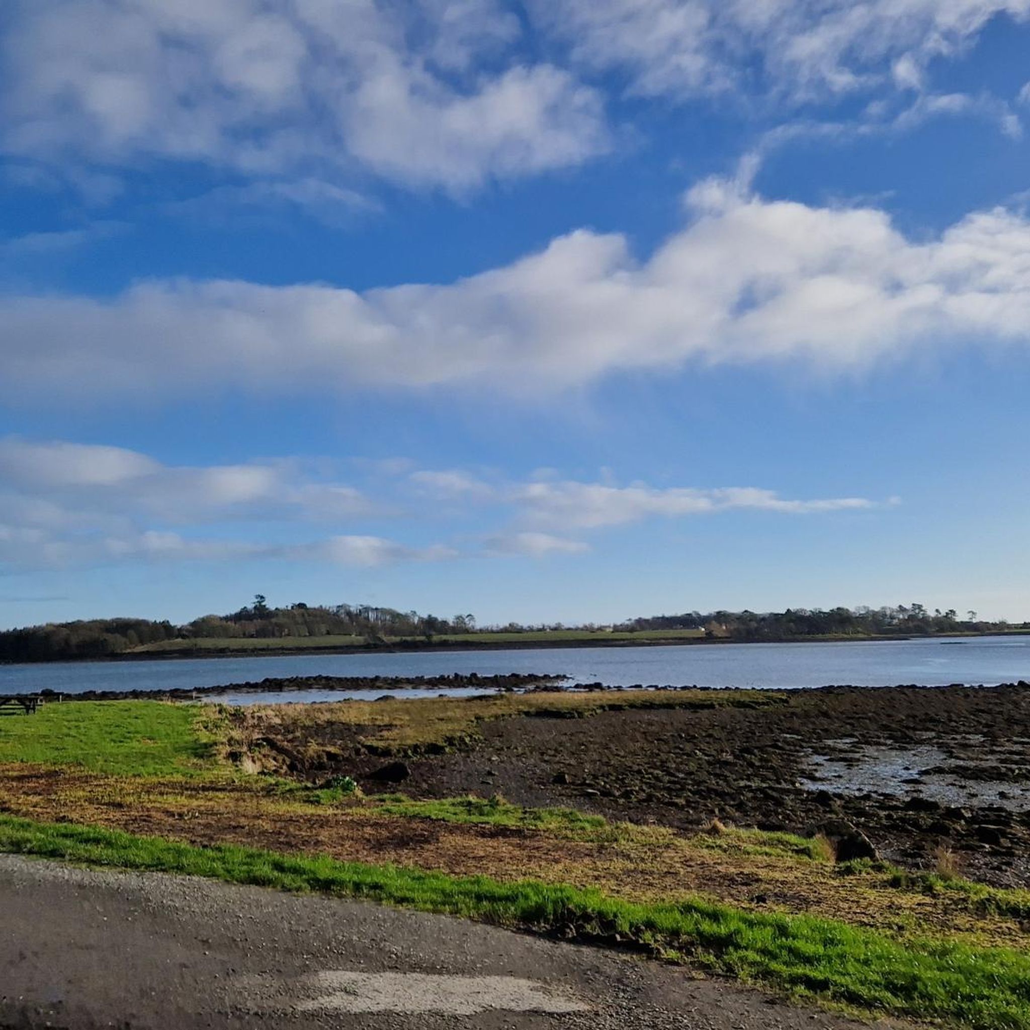
The Marina is a nature reserve of unparalleled beauty, it is a good starting point on which to explore the Lough.
0
0
Frequently Asked Questions
How many road cycling routes are available in Ballyculter Upper?
There are over 45 road cycling routes around Ballyculter Upper, offering a diverse range of options for cyclists of all skill levels.
Are there road cycling routes suitable for beginners or families in Ballyculter Upper?
Yes, Ballyculter Upper offers several easy road cycling paths. For example, the View of Portaferry Harbor – Corrog Wood loop from Strangford is an easy 24.4-mile route that provides scenic views without significant elevation challenges, making it suitable for less experienced riders or families.
What kind of terrain can I expect on road cycling routes in Ballyculter Upper?
The region features a mix of coastal roads, views of harbors, and routes through woodlands and agricultural areas. You'll find both gentle inclines and more challenging climbs, providing varied terrain for different skill levels. The area is characterized by its proximity to the sea and a network of quiet country lanes.
Are there any challenging road cycling routes for experienced riders?
Yes, for experienced cyclists seeking a challenge, routes like the Climb by Rostrevor Forest – The Fairy Glen loop from Delamont offer a difficult 86.2-mile ride with over 1000 meters of elevation gain. Another demanding option is the Picnic Café – Dree Hill Viewpoint loop from Delamont, which covers over 62 miles with significant climbing.
What are some scenic viewpoints or attractions along the road cycling routes?
Many routes offer stunning views, particularly of Portaferry Harbor and the coastline. You can also find historical landmarks like the Strangford Stone. The area is rich in natural beauty, including highlights such as Delamont Country Park and various viewpoints offering panoramas of Castle Ward and the Strangford & Lecale AONB.
Are there circular road cycling routes in Ballyculter Upper?
Yes, many of the road cycling routes in Ballyculter Upper are designed as loops. For instance, the popular Ballyhornan Beach – Strangford Stone loop from Delamont is a 30.8-mile circular route, and the Ballyhornan Beach – Killough–Strangford Loop loop from Ballymurry offers a shorter 14.6-mile loop through coastal villages.
What is the best time of year for road cycling in Ballyculter Upper?
Road cycling in Ballyculter Upper is enjoyable throughout the warmer months, typically from spring to autumn. The coastal location means weather can be variable, so checking local forecasts is always recommended. Summer offers the longest daylight hours and generally milder conditions for exploring the region's diverse routes.
Are there any castles or historical sites I can visit while road cycling?
Absolutely! The region is home to several historical sites. You might pass by or near Castle Ward Tower (a famous filming location), Audley's Castle, or Inch Abbey. These sites offer fascinating glimpses into the area's rich history.
What do other road cyclists enjoy most about cycling in Ballyculter Upper?
Road cyclists frequently praise the region's diverse landscape, which combines coastal roads with views of harbors and quiet country lanes. The variety of routes, from easy scenic loops to more challenging climbs, is also highly valued, allowing riders of all abilities to find suitable paths.
Is public transport available to access road cycling routes in Ballyculter Upper?
While specific public transport options directly to every trailhead may vary, key towns and villages in and around Ballyculter Upper are generally served by local bus routes. It's advisable to check local transport schedules for the most up-to-date information on services that accommodate bicycles or provide access points close to your chosen route.
Where can I find parking for road cycling in Ballyculter Upper?
Parking is typically available in the main towns and villages that serve as starting points for many routes, such as Strangford or Delamont. Many routes also begin near designated car parks or public spaces where parking is permitted. Always check local signage for any restrictions or fees.
Most popular routes around Ballyculter Upper
Most popular attractions around Ballyculter Upper

Get inspired with the komoot mobile app


Explore more
Browse the best Road cycling routes in other regions.
