The best mountain hikes around Schneizlreuth
4.8
(151)
1,539
hikers
44
hikes
Mountaineering around Schneizlreuth offers an exceptional alpine experience within the Berchtesgadener Land district. The region is characterized by towering mountains of the Berchtesgaden Alps, including peaks like Hochstaufen, and features lush forests and pristine rivers such as the Saalach. This diverse landscape provides a dramatic setting for challenging ascents and scenic routes.
Best mountaineering routes around Schneizlreuth
- The most popular mountaineering route is Zennokopf Summit – Zwiesel Summit Cross loop from Wald-Wild-Schongebiet Hinterstaufen, a 5.8 miles (9.4 km) difficult…
Last updated: October 5, 2026
4.6
(37)
362
hikers
Hard mountaineering route. Good fitness required. Sure-footedness, sturdy shoes and alpine experience required.
4.9
(26)
190
hikers
Hard mountaineering route. Very good fitness required. Sure-footedness, sturdy shoes and alpine experience required.

4.5
(13)
90
hikers
Hard mountaineering route. Very good fitness required. Sure-footedness, sturdy shoes and alpine experience required.
4.3
(6)
110
hikers
Hard mountaineering route. Good fitness required. Sure-footedness, sturdy shoes and alpine experience required.
5.0
(3)
114
hikers
11.3km
05:22
920m
920m
Hard mountaineering route. Very good fitness required. Mostly accessible paths. Sure-footedness required.
Get access to more routes and recommendations from other explorers.
Already have an account?
Our route recommendations are based on thousands of hikes, rides, and runs completed by other people on komoot.
Start today with a free account
Your next adventure awaits.
Other adventures around Schneizlreuth

Tips from the Community

Short-term parking (4 hours): €4.00 Day ticket: €6.00
1
0

From the Zwieselalm, a beautiful mountain path leads to the summit of the Zenkopf and the Zwiesel.
1
0
It is a beautiful hiking trail, which can be very slippery in some places after a thunderstorm.
1
0
From Zwiesel to its neighbor the Zenokopf, with a view of the Berchtesgaden mountains.
0
0

Difficult ridge that should only be walked by experienced climbers
0
0

From the summit cross of the Zwiesel there is a great view of the green Zennokopf, which provides a great contrast to the mountains behind it.
0
0

A very steep, rough climb, not for everyone. Sometimes you have to climb a bit. Only for those who can bear the effort 😊 The view up there is amazing, though, it's worth it...
2
0

Fee-based, approx. 50 parking spaces
0
1
Frequently Asked Questions
How many mountaineering routes are available in Schneizlreuth?
Schneizlreuth offers a diverse selection of over 40 mountaineering routes. These range from moderate paths requiring good basic fitness to challenging alpine ascents for experienced mountaineers.
Are there any easier mountaineering routes suitable for beginners or those with moderate fitness?
While there are no routes classified as 'easy' for mountaineering, there are 15 moderate routes that are suitable for those with good basic fitness and sure-footedness. An example is the Jochberg Car Park – Müritag Trail loop, which is 3.6 miles long with about 478 meters of elevation gain.
What are some of the more challenging mountaineering routes in the area?
For experienced mountaineers, Schneizlreuth offers 29 difficult routes. Notable challenging ascents include the Zennokopf Summit – Zwiesel Summit Cross loop, a 5.8-mile trail with over 860 meters of elevation, and the Gamsknogel Summit – Zwiesel Summit Cross loop, which is 6.6 miles long with over 900 meters of elevation gain.
Can I find circular mountaineering routes around Schneizlreuth?
Yes, many of the mountaineering routes in Schneizlreuth are designed as loops. For instance, the Zennokopf Summit – Zwiesel Summit Cross loop and the Jochberg Car Park – Müritag Trail loop are popular circular options, allowing you to start and end at the same point.
What natural attractions can I explore while mountaineering in Schneizlreuth?
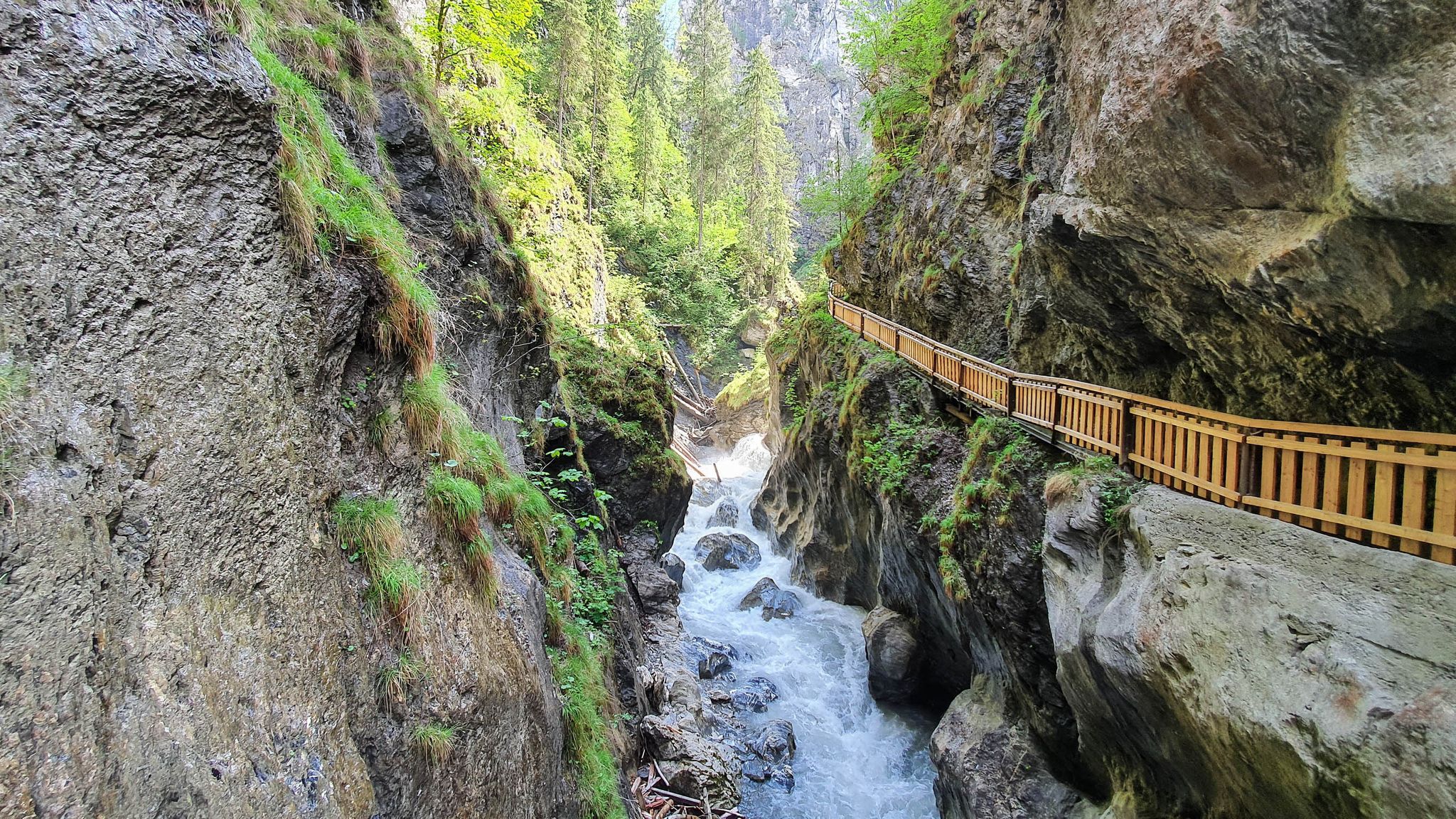
The region is rich in natural beauty. You can encounter stunning gorges like the Wimbach Gorge and the Almbach Gorge, which also features the Sulzer Waterfall. The Enchanted Forest along the Ramsauer Ache offers a unique landscape of gnarled trees and huge boulders.
Which mountaineering routes offer the best scenic viewpoints?
Many routes lead to spectacular viewpoints from the peaks of the Berchtesgaden Alps. For panoramic views, consider routes that ascend summits like Hochstaufen, Grünstein Summit, or Toter Mann summit. The region's towering mountains provide dramatic backdrops throughout your journey.
Are there routes that feature waterfalls or gorges?
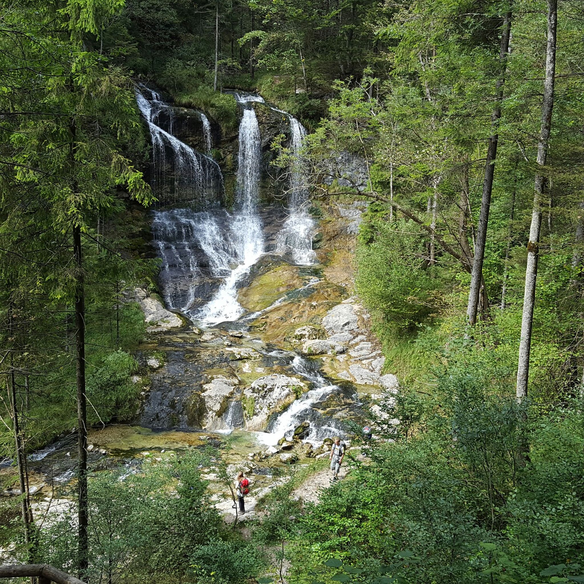
Absolutely. The region is known for its impressive gorges and waterfalls. The Almbach Gorge is a prime example, where you can witness the powerful Sulzer Waterfall. The Weißbach Gorge is also a significant natural attraction offering scenic hikes.
What do other mountaineers say about the routes in Schneizlreuth?
The mountaineering routes in Schneizlreuth are highly rated by the komoot community, with an average score of 4.9 stars from over 130 reviews. Mountaineers often praise the diverse terrain, ranging from lush forests to challenging alpine ascents, and the stunning natural beauty of the Berchtesgaden Alps.
When is the best time of year for mountaineering in Schneizlreuth?
The best time for mountaineering typically spans from late spring to early autumn, when trails are clear of snow and weather conditions are generally stable. However, the area also offers winter activities like snow hiking, so conditions vary significantly by season and elevation.
Where can I find parking for mountaineering routes in Schneizlreuth?
Many routes, such as the Jochberg Car Park – Müritag Trail loop, start from designated parking areas like the Jochberg Car Park. Other routes often begin from locations like Wald-Wild-Schongebiet Hinterstaufen, which typically have nearby parking facilities for hikers.
Are there any less crowded mountaineering trails in Schneizlreuth?
While popular routes can see more visitors, exploring some of the 15 moderate or lesser-known difficult trails might offer a quieter experience. Routes like the Schrecksattel Ice Cave loop from Mußbachfall, while challenging, might provide a more secluded adventure compared to the most frequented summits.
Are there family-friendly mountaineering options in Schneizlreuth?
While many mountaineering routes are challenging, the wider Berchtesgadener Land region, including areas near Schneizlreuth, offers easier trails suitable for families. These often involve less elevation gain and shorter distances, such as the Malerwinkl circular trail at Königssee, which is an easy hike with beautiful vantage points.
Most popular routes around Schneizlreuth
Most popular attractions around Schneizlreuth

Get inspired with the komoot mobile app


Explore more
Browse the best Mountain Hikes & Routes in other regions.
