The best road cycling routes around Schneizlreuth
4.4
(524)
14,401
riders
187
rides
Road cycling routes around Schneizlreuth are set within the Berchtesgadener Land district, characterized by the northern edge of the Bavarian Alps. The region features a diverse landscape with challenging mountain passes, serene lake-side paths, and routes along the Saalach River. This varied terrain provides options for road cyclists seeking both demanding climbs and more relaxed rides through picturesque valleys.
Best road cycling routes around Schneizlreuth
- The most popular road cycling route is Staufen Bridge – Climb to Steinhögl loop from…
Last updated: August 15, 2026
5.0
(1)
232
riders
118km
06:29
1,330m
1,330m
Hard road ride. Very good fitness required. Some segments of this route may be unpaved and difficult to ride.
4.9
(8)
147
riders
Moderate road ride. Good fitness required. Mostly well-paved surfaces and easy to ride.

Sign up for free
4.0
(1)
130
riders
Easy road ride. Great for any fitness level. Mostly well-paved surfaces and easy to ride.
3.0
(2)
88
riders
Moderate road ride. Good fitness required. Some segments of this route may be unpaved and difficult to ride.
4.3
(3)
45
riders
Moderate road ride. Good fitness required. Mostly well-paved surfaces and easy to ride.
Get access to more routes and recommendations from other explorers.
Sign up for free
Already have an account?
Our route recommendations are based on thousands of hikes, rides, and runs completed by other people on komoot.
Start today with a free account
Your next adventure awaits.
Login or Signup
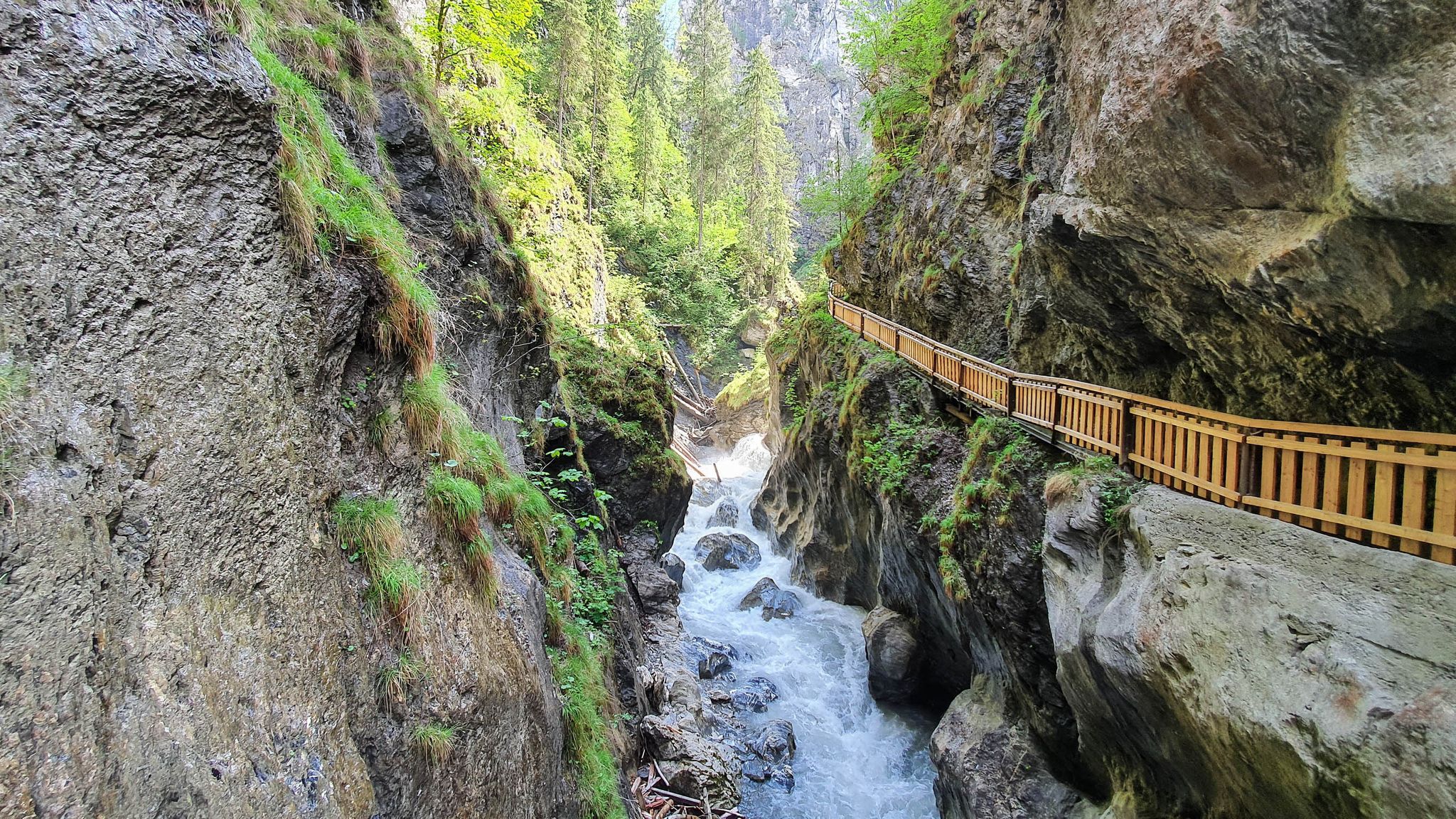
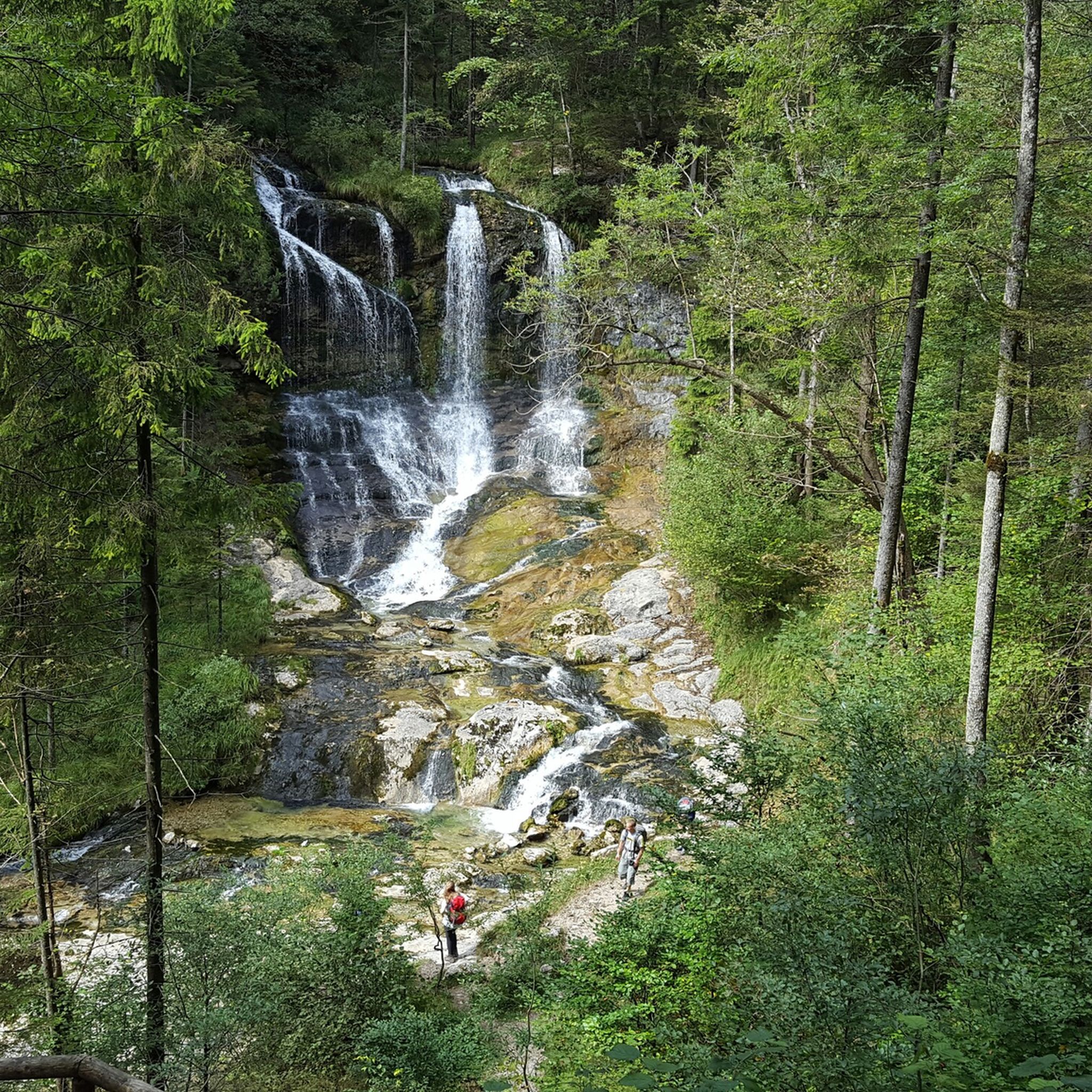
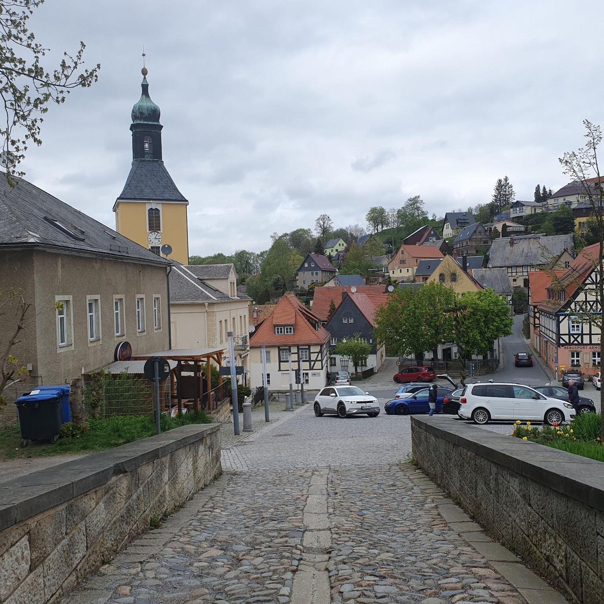
Other adventures around Schneizlreuth

Tips from the Community

Great view of the fortress.
0
0

Beautiful path to the Königssee
0
0

The fortress, whose construction began in 1077, sits 506 meters above the old town. It offers a breathtaking panoramic view over the city's rooftops. Visitors can reach the fortress either on foot (about 10 minutes) or by funicular railway.
2
0

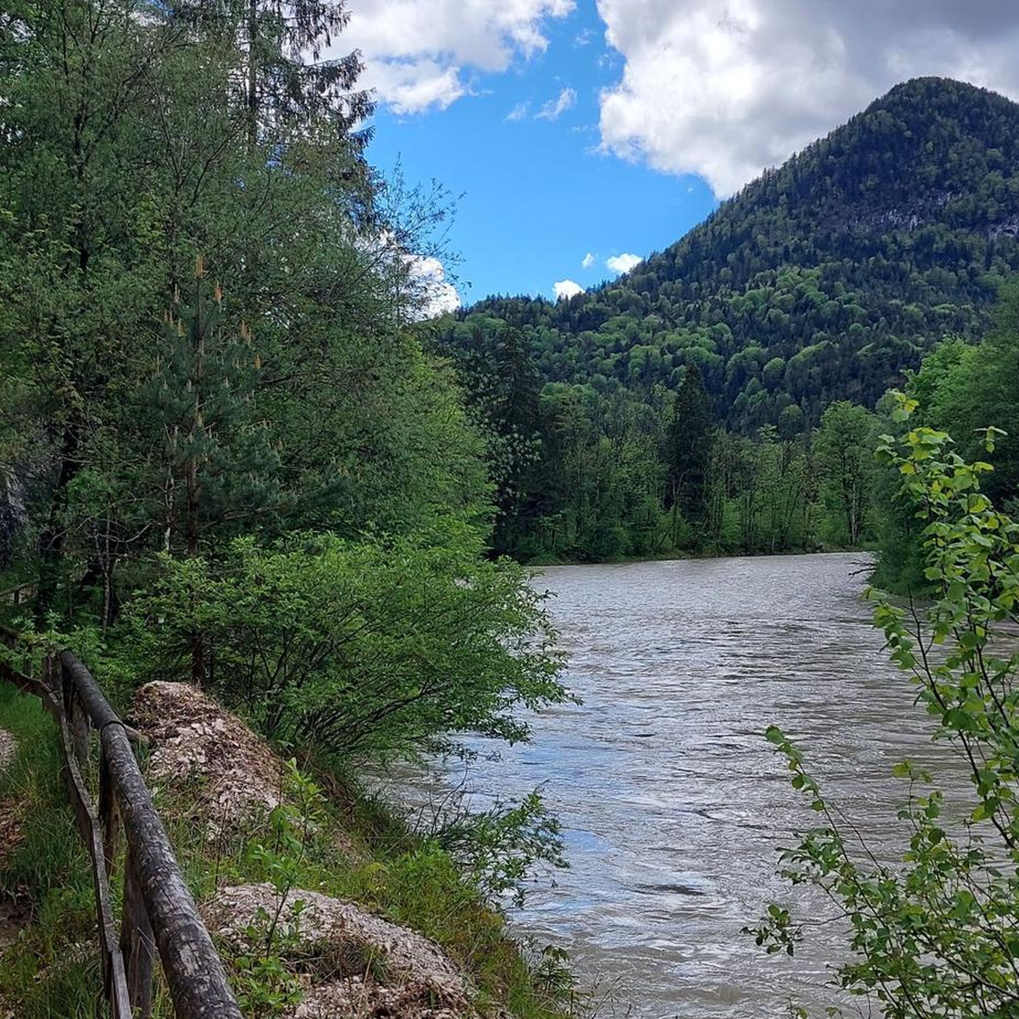
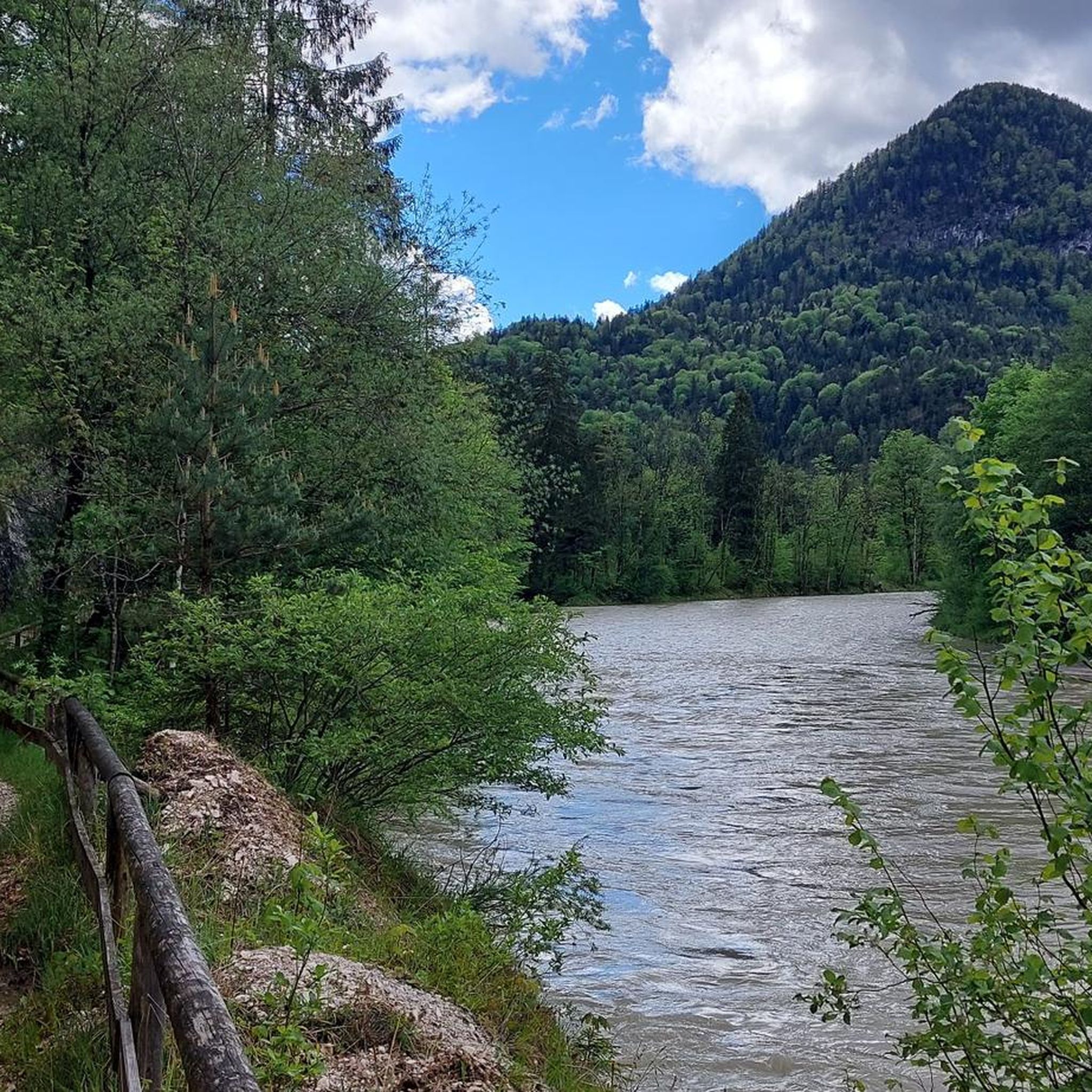
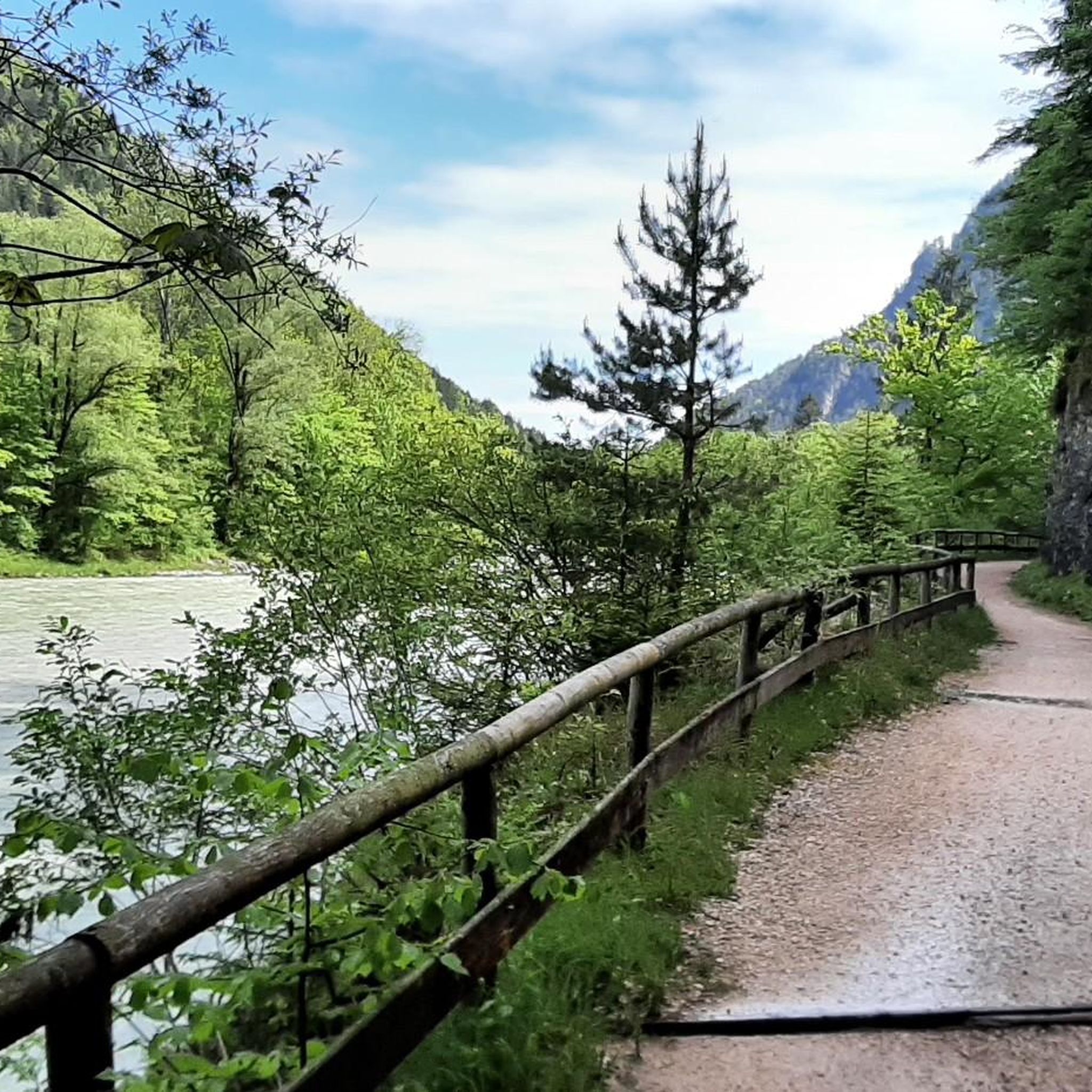
After the Saalach cycle path, trust the cycle signs; the winding paths lead to the destinations, but at some point the road ends for racing bikes.
0
0

beautiful panoramic views over the old town and the fortress
0
0

Another highlight from user 'Peter F.' offers a very similar perspective of the Hohensalzburg Fortress, perched high on the cliff above the city (if you're interested, see =>> https://www.komoot.com/de-de/highlight/6499548 ). The night shots he uploaded there demonstrate in a completely different, very impressive way how the imposing structure shapes the cityscape, viewed from the riverbank.
1
1


Great for hiking and biking.
1
0
Frequently Asked Questions
How many road cycling routes are available around Schneizlreuth?
There are over 170 road cycling routes in and around Schneizlreuth, offering a wide variety of options for all skill levels.
What kind of terrain can I expect on road cycling routes in Schneizlreuth?
The region offers diverse terrain, from challenging mountain passes like the Rossfeld Pass and Schwarzbachwacht to serene lake-side paths around Königssee and Hintersee, and flatter routes along the Saalach River. You'll experience the majestic Bavarian Alps as a constant backdrop.
Are there any easy road cycling routes suitable for beginners or more relaxed rides?
Yes, there are over 30 easy routes. For a less strenuous ride, consider the Staufen Bridge – Saalach Cycle Path loop from Bad Reichenhall-Kirchberg, which follows the Saalach River. Another option is the Staufen Bridge – Road Along the Saalach River loop from Bad Reichenhall-Kirchberg.
Where can I find challenging road cycling routes with significant climbs?
For demanding climbs, Schneizlreuth offers routes around challenging passes. The Rossfeld Pass (Rossfeld Panoramastraße) is one of Germany's highest ridable Alpine passes, known for its serpentines and panoramic views. You can also explore routes that include the Schwarzbachwacht, such as the Schwarzbachwacht Pass – Cycle Path Along Saalachsee loop from Bad Reichenhall-Kirchberg.
What natural features or landmarks can I see along the road cycling routes?
Many routes offer stunning views of the Bavarian Alps, including the prominent Watzmann Mountain. You can cycle past the crystal-clear waters of Königssee and Hintersee, or along the Saalach River. Impressive gorges like the Almbachklamm and Weissbach Gorge are also nearby, offering dramatic scenery.
Are there any historical sites or castles to explore near the cycling routes?
Yes, the region has several historical sites. You might encounter the Berchtesgaden Royal Palace or the ruins of Karlstein Castle. The Gruttenstein Castle is another notable landmark in the area.
What is the best time of year for road cycling in Schneizlreuth?
The most popular months for road cycling in Schneizlreuth are May and August, when the weather is generally favorable for exploring the diverse landscapes.
Are there any circular road cycling routes available?
Yes, many routes in the area are designed as loops. Examples include the Staufen Bridge – Climb to Steinhögl loop from Bad Reichenhall-Kirchberg, which offers significant elevation gain, and the easier Road from Weißbach to Marzoll – Descent to Hinterreit loop from Bad Reichenhall-Kirchberg.
What do other road cyclists enjoy most about the routes in Schneizlreuth?
The routes in Schneizlreuth are highly rated by the komoot community, with an average score of 4.3 stars. Cyclists often praise the stunning panoramic views of the Bavarian Alps, the variety of terrain from challenging passes to serene river paths, and the well-maintained routes.
Are there any caves or grottoes that can be visited near the cycling paths?
Yes, the region features several interesting caves and grottoes. You could visit the Schellenberger Ice Cave or the Grassl Cave. The Magdalene Grotto on Wartstein is another unique natural feature.
Are there options for parking when planning a road cycling trip in Schneizlreuth?
While specific parking areas for each route vary, Schneizlreuth and nearby towns like Bad Reichenhall-Kirchberg, which serve as starting points for many routes, typically offer parking facilities. It's advisable to check local parking options for your chosen starting point.
Can I combine road cycling with other outdoor activities in the region?
Absolutely. Beyond cycling, the region offers opportunities for rafting on the Saalach River, canyoning, hiking in Berchtesgaden National Park, and even winter activities like snowshoeing, making it a versatile outdoor destination.
Most popular routes around Schneizlreuth
Most popular attractions around Schneizlreuth

Get inspired with the komoot mobile app


Explore more
Browse the best Road cycling routes in other regions.
