The best walks and hikes around Hergiswil
4.5
(1264)
10,089
hikers
70
hikes
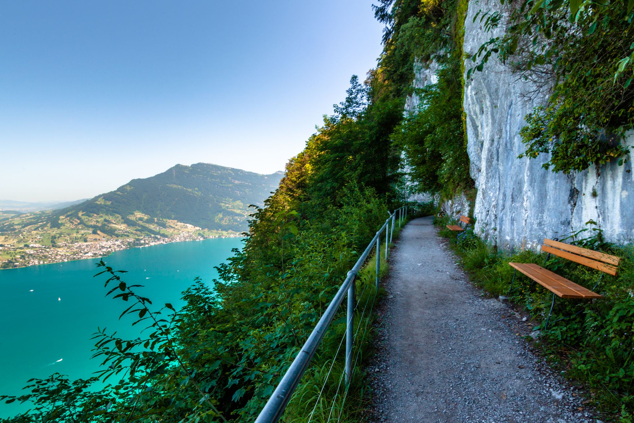
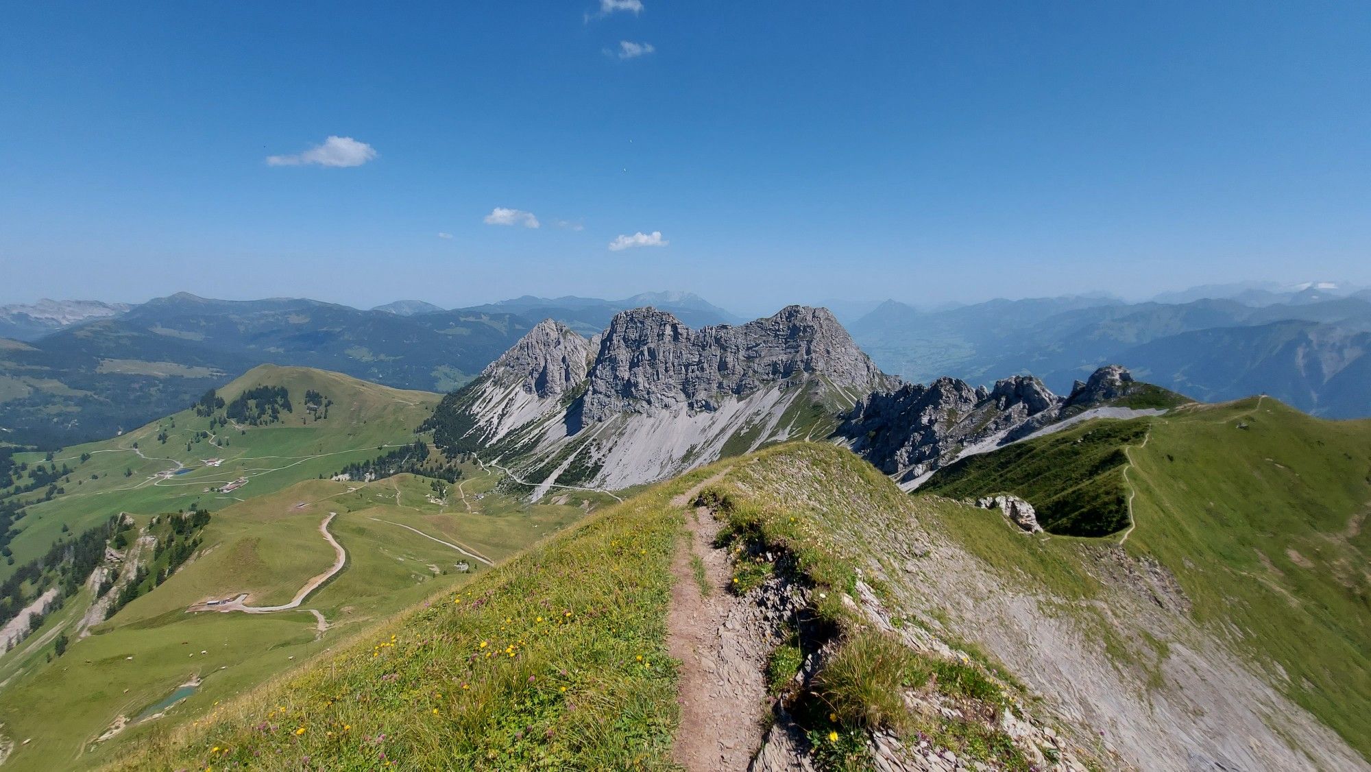
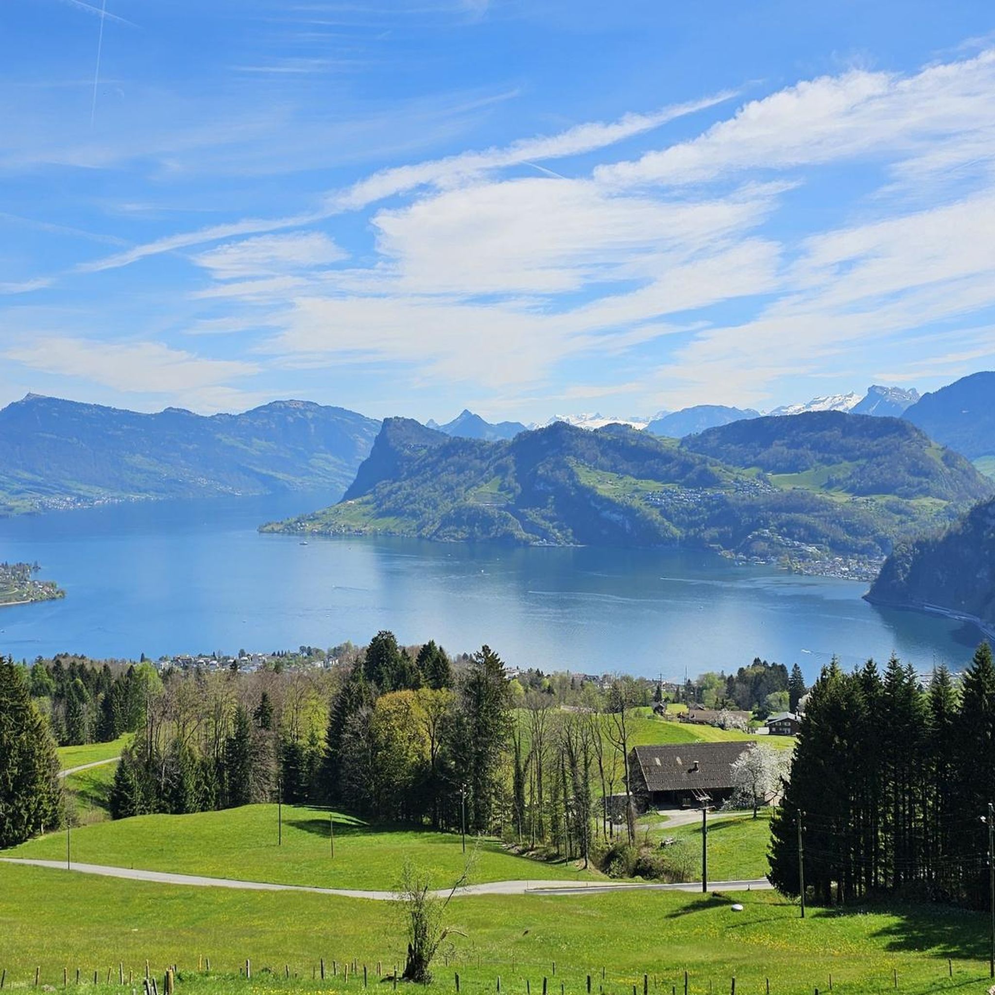
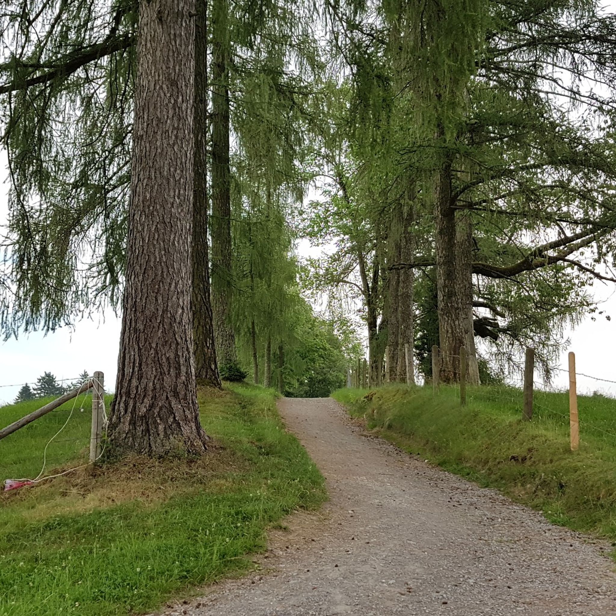
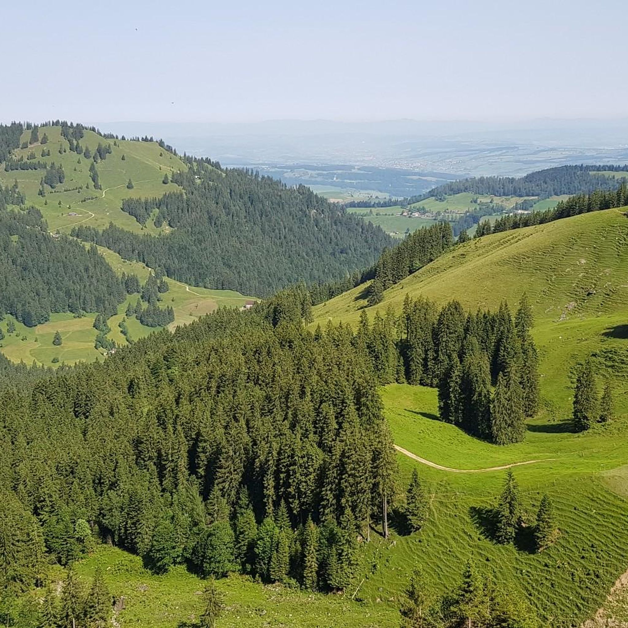
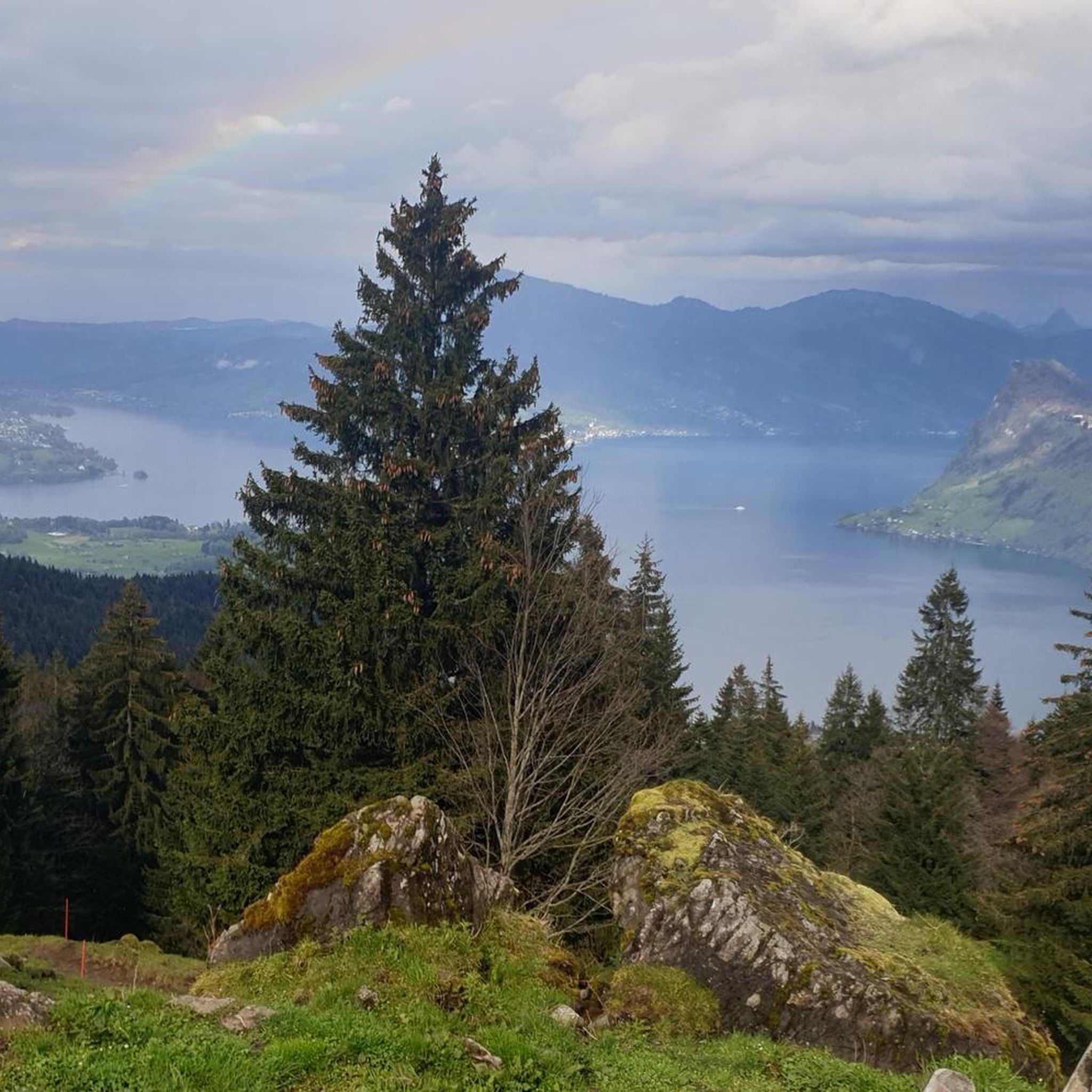
Hiking around Hergiswil offers diverse landscapes characterized by its location on the shores of Lake Lucerne and the presence of the Pilatus massif. The region features varied terrain, including forest edges, lush meadows, and wetlands, providing a range of environments for outdoor activities. Trails often lead through structured forests and offer views of the surrounding Swiss mountains.
Best hiking trails around Hergiswil
- The most popular hiking route is Pilatus Kulm zu Esel, Oberhaupt und Tomlishorn, a 2.3 miles (3.8…
Last updated: September 30, 2026
4.8
(123)
972
hikers
3.78km
01:09
100m
110m
Moderate hike. Great for any fitness level. Mostly accessible paths. Sure-footedness required.
5.0
(8)
41
hikers
10.1km
03:55
310m
1,000m
Hard hike. Good fitness required. Sure-footedness, sturdy shoes and alpine experience required.

4.6
(5)
33
hikers
6.29km
02:14
500m
80m
Moderate hike. Good fitness required. Easily-accessible paths. Suitable for all skill levels.
4.5
(31)
152
hikers
5.08km
02:21
450m
450m
Moderate hike. Good fitness required. Mostly accessible paths. Sure-footedness required.
4.9
(18)
102
hikers
13.1km
06:27
1,020m
1,020m
Hard hike. Very good fitness required. Sure-footedness, sturdy shoes and alpine experience required.
Get access to more routes and recommendations from other explorers.
Already have an account?
Our route recommendations are based on thousands of hikes, rides, and runs completed by other people on komoot.


Tips from the Community

The Pilatus is an impressive mountain massif near Lucerne. It is known for its fantastic view, the steepest cogwheel railway in the world, which leads up from Alpnachstad, as well as the cable car from Kriens. In summer, it is excellent for hiking.
1
0

Summit opposite the Pilatus, not very busy - but great view.
1
0
Beautiful stretch of trail here on the flower path.
2
0
Beautiful path around the rocks here on the flower path.
2
0
Here the path leads through a rock.
1
0
From here on the flower path, you have a great view towards Pilatus Kulm
2
0

+ comfortable + beautiful view - no shade
0
0
If you walk from Pilatus Kulm along the flower path, you will reach the Tomlishorn in about 30 minutes at a leisurely pace.
3
1
Frequently Asked Questions
How many hiking trails are there in Hergiswil?
Hergiswil offers a wide selection of hiking opportunities, with over 70 trails available. These range from easy strolls to challenging alpine routes, catering to various fitness levels and preferences.
What is the best time of year to hike in Hergiswil?
The best time to hike in Hergiswil is generally from late spring through early autumn (May to October). During these months, the weather is most favorable, and trails are typically free of snow, allowing access to higher elevations and panoramic views of Lake Lucerne and the Pilatus massif. Some lower-altitude trails may be accessible year-round.
Are there easy hiking trails suitable for beginners or families in Hergiswil?
Yes, Hergiswil has several easy trails perfect for beginners and families. These paths often lead through lush meadows and forest edges, offering gentle gradients and beautiful scenery. For example, the region offers 8 easy routes, many of which are suitable for shorter excursions. While specific family-friendly routes are not detailed here, the diverse terrain ensures options for all skill levels.
What kind of terrain can I expect on hikes around Hergiswil?
Hikes around Hergiswil feature highly diverse terrain. You can expect paths through structured forests, along the edges of lush meadows, and even wetlands. Higher up, especially on the Pilatus massif, the terrain becomes more rugged, with rocky sections and ridge climbs, offering a true alpine experience. The region's proximity to Lake Lucerne also means some trails combine mountain vistas with serene lake views.
Are there any hikes with waterfalls near Hergiswil?
Yes, the area around Hergiswil features several beautiful waterfalls. You can explore highlights such as the Waterfall and Descent to Klimsenhorn (Pilatus) or the Waterfall itself. Another notable spot is the Bridge Over Ranggbach Waterfalls, offering picturesque views of cascading water.
What landmarks or viewpoints can I explore on the trails around Hergiswil?
The region is rich in landmarks and viewpoints. The majestic Pilatus massif is a central feature, with trails leading to its summit, offering expansive views. The Pilatus Kulm zu Esel, Oberhaupt und Tomlishorn route provides panoramic vistas from the summit area. Other notable points include Klimsenhorn and the nearby Stanserhorn Summit, which offers a 360-degree view of ten Swiss lakes and 100 kilometers of the Alps.
Are there circular hiking routes in Hergiswil?
Yes, you can find circular hiking routes in Hergiswil. An example is the Brunni Cable Car Start Point – Alpgschwänd Mountain Inn loop from Hergiswil NW, which offers a moderate challenge. Another option is the Pilatus Kulm Summit – Tomlishorn Summit loop from Pilatus Kulm, a more difficult route that provides stunning views.
Is public transport available to reach trailheads in Hergiswil?
Hergiswil is well-connected by public transport, making many trailheads accessible without a car. The region's infrastructure, including mountain railways and cable cars, often serves as starting points for various hikes, particularly for routes leading up the Pilatus massif. It's advisable to check local transport schedules for specific routes.
Where can I find parking for hiking trails in Hergiswil?
Parking facilities are generally available near popular trailheads and cable car stations in and around Hergiswil. For routes accessing the Pilatus massif, parking can often be found at base stations like Krienseregg or Alpnachstad. Specific parking information for individual trails is usually detailed on local signage or tourist information websites.
Are dogs allowed on hiking trails around Hergiswil?
Generally, dogs are welcome on most hiking trails around Hergiswil, provided they are kept on a leash, especially in areas with livestock or wildlife. It's always recommended to check specific trail regulations, as some protected areas or cable cars might have restrictions. Always carry water for your dog and clean up after them.
What do other hikers enjoy most about hiking in Hergiswil?
The hiking trails in Hergiswil are highly rated by the komoot community, with an average score of 4.5 stars from over 1000 reviews. Hikers frequently praise the breathtaking panoramic views of Lake Lucerne and the surrounding Swiss mountains, the diverse terrain ranging from lush meadows to rugged alpine paths, and the well-maintained trails that cater to all ability levels.
Are there any cultural attractions or historical sites accessible via hiking trails?
Beyond natural beauty, some trails around Hergiswil offer a cultural dimension, leading to historical sites and charming landscapes where Swiss tourism originated. Additionally, the Glasi Hergiswil, a glass blowing factory and museum, is a notable attraction in the area, offering a unique cultural experience that can be combined with a hike.
Most popular routes around Hergiswil
Most popular attractions around Hergiswil

Get inspired with the komoot mobile app


Explore more
Browse the best Hikes in other regions.
