The best mountain hikes around Rennertshofen
4.2
(82)
367
hikers
9
hikes
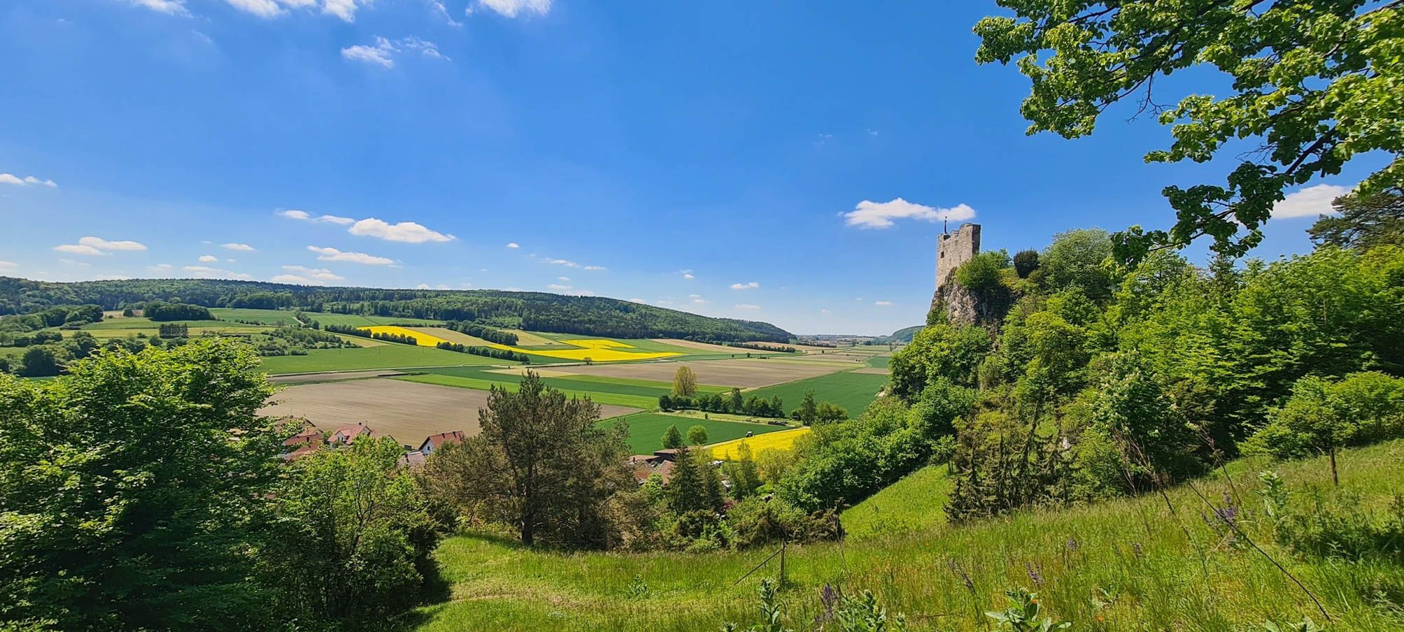
Mountaineering around Rennertshofen offers challenging routes through a landscape shaped by the Danube and Lech rivers. The region features the primeval Danube Valley (Urdonautal) and the picturesque Ussel Valley (Usseltal), providing varied terrain for exploration. Elevated areas like the Antoniberg offer views over the Danube, while extensive floodplain forests characterize the lower elevations. The routes here are primarily demanding hikes with significant elevation changes across these natural features.
Best mountaineering routes around Rennertshofen
- The most popular mountaineering route is Dohlenfelsen…
Last updated: July 5, 2026
4.4
(35)
145
hikers
6.86km
02:21
180m
170m
Hard mountaineering route. Good fitness required. Sure-footedness, sturdy shoes and alpine experience required.
4.4
(30)
127
hikers
7.10km
02:25
190m
190m
Hard mountaineering route. Good fitness required. Sure-footedness, sturdy shoes and alpine experience required.

Sign up for free
5.0
(2)
14
hikers
6.71km
02:08
90m
100m
Hard mountaineering route. Good fitness required. Sure-footedness, sturdy shoes and alpine experience required.
3.0
(2)
9
hikers
2.26km
00:50
80m
80m
Hard mountaineering route. Great for any fitness level. Sure-footedness, sturdy shoes and alpine experience required.
3
hikers
4.46km
01:33
130m
130m
Hard mountaineering route. Great for any fitness level. Sure-footedness, sturdy shoes and alpine experience required.
Get access to more routes and recommendations from other explorers.
Sign up for free
Already have an account?
Our route recommendations are based on thousands of hikes, rides, and runs completed by other people on komoot.
Start today with a free account
Your next adventure awaits.
Login or Signup
Popular around Rennertshofen
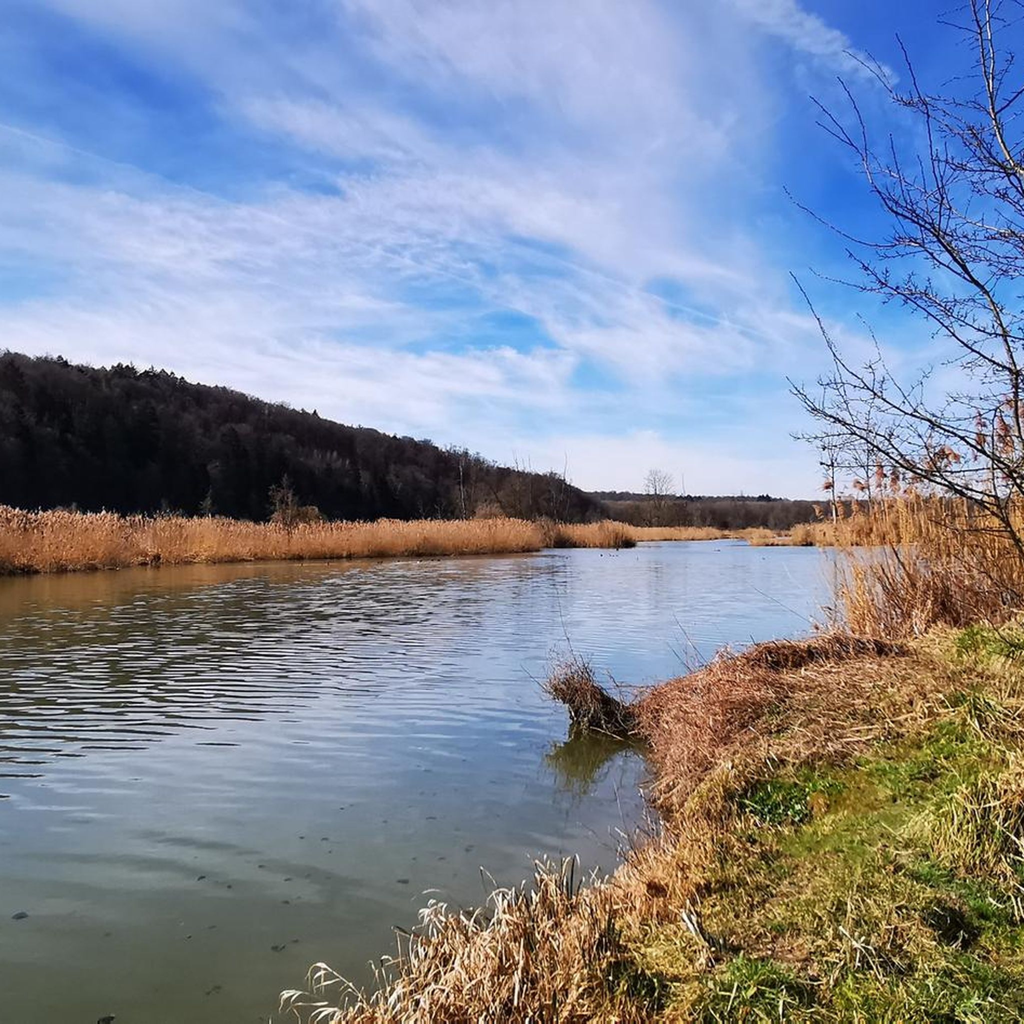
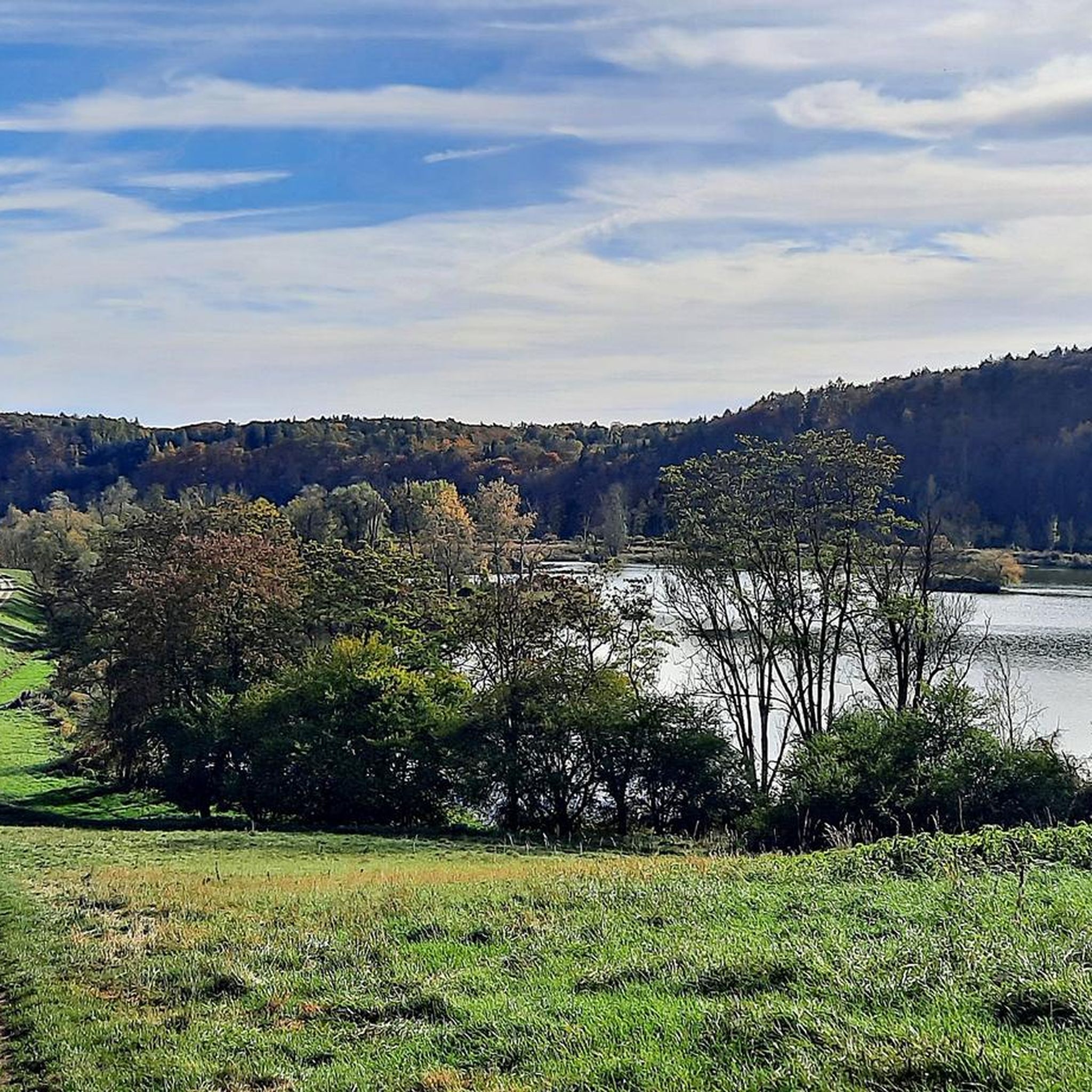
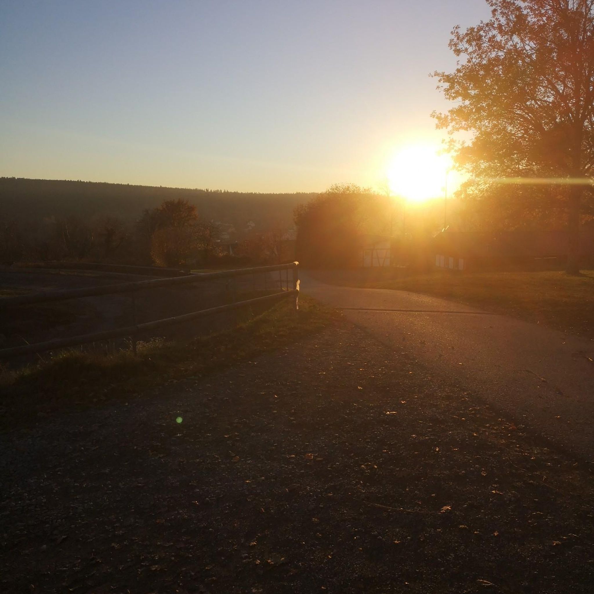
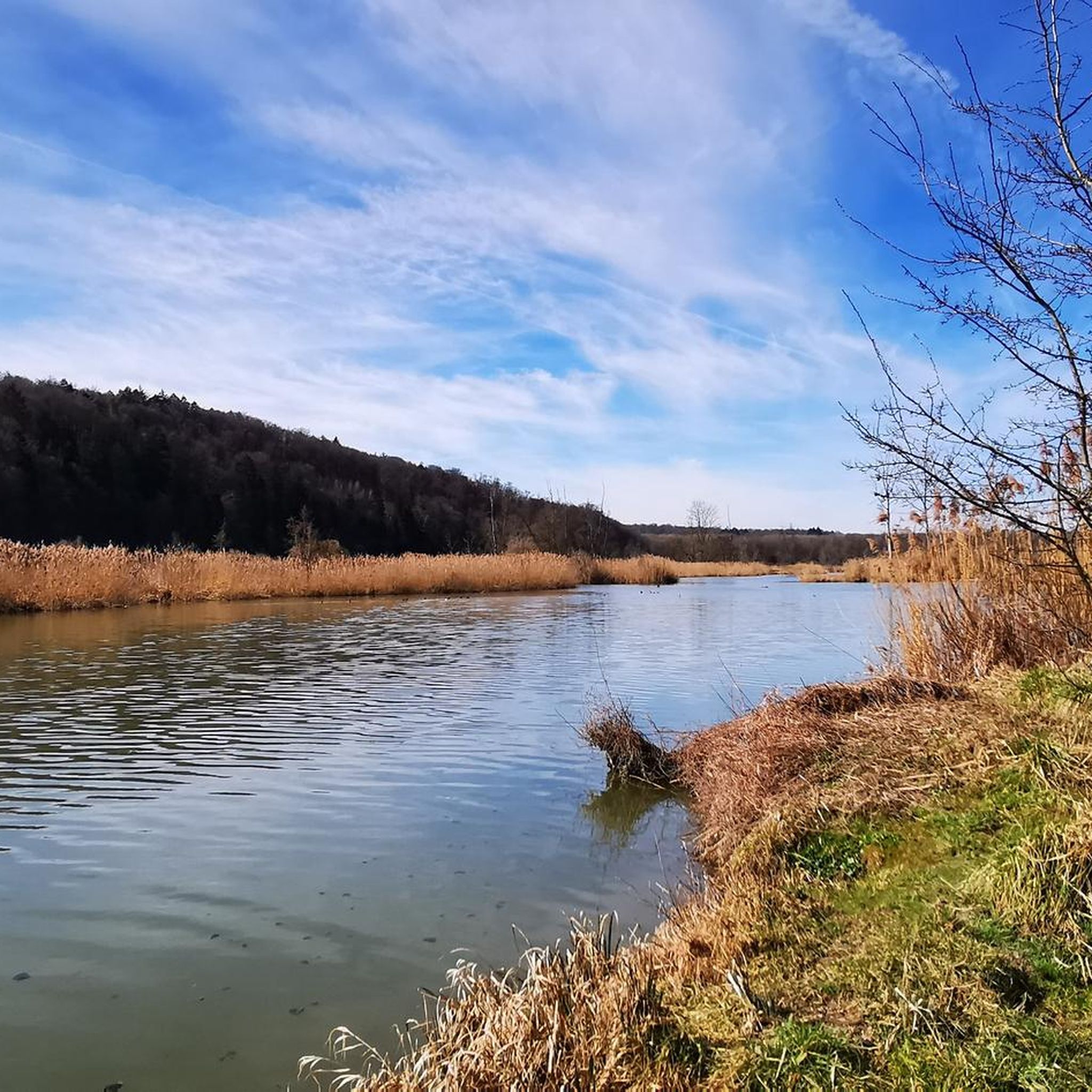


Tips from the Community

You have a view of the Wellheim dry valley all the way to the castle ruins
0
0
Challenging path with magnificent views into the valley
0
0
Beautiful sculpture carved from a tree trunk
0
0
Beautiful, flat forest path, which leads you back to the parking lot after walking the Jägersteig.
0
0
In several places, there are very beautiful views of the Wellheimer Trockental.
0
0
Wonderful path, which however requires a certain degree of sure-footedness, a head for heights and, above all, good footwear.
0
0
Very nice trail guidance. However, you should be sure-footed and pay attention that the ground / stones are slippery in wet / damp weather.
0
0

Sufficient parking spaces available, free of charge with a view of the rocks.
7
0
Frequently Asked Questions
How many mountaineering routes can I find around Rennertshofen?
There are 9 challenging mountaineering routes available around Rennertshofen, all rated as difficult. These routes offer significant elevation changes and varied terrain.
What kind of terrain can I expect on mountaineering routes in Rennertshofen?
The mountaineering routes in Rennertshofen traverse a diverse landscape characterized by river valleys, forested hills, and limestone outcrops. You'll encounter the primeval Danube Valley (Urdonautal) and the picturesque Ussel Valley (Usseltal), with routes often featuring significant elevation gain.
Are there any easy or beginner-friendly mountaineering routes in Rennertshofen?
The routes specifically categorized as mountaineering in Rennertshofen are all rated as difficult, indicating they are more suited for experienced hikers looking for a challenge. There are no easy or moderate mountaineering routes listed in this guide.
What are some scenic spots or natural attractions to look out for on these routes?
Many routes offer views of the Danube and explore areas like the Urdonautal. You might encounter notable rock formations, such as those on the Dohlenfelsen – Rock Window loop from Wellheim. The region also features extensive Danube floodplains, which are ideal for experiencing local ecosystems. For specific natural highlights, consider exploring the Karst Spring Egweil or the Groppenhofer Pond.
Are the mountaineering routes around Rennertshofen suitable for families?
Given that all listed mountaineering routes are rated as difficult and involve significant elevation changes, they may not be suitable for all families, especially those with young children or limited hiking experience. However, families with older, experienced children who are accustomed to challenging hikes might enjoy routes like the Dohlenfelsen – View from Dohlenfelsen loop from Konstein, which is shorter but still demanding.
Can I bring my dog on the mountaineering trails in Rennertshofen?
Generally, dogs are welcome on hiking trails in the Rennertshofen region. However, it's always advisable to keep your dog on a leash, especially in nature protection areas, near wildlife, or when encountering other hikers. Be prepared for varied terrain and potential rock formations.
Are there any circular mountaineering routes available?
Yes, many of the mountaineering routes around Rennertshofen are designed as circular paths. For example, you can explore the View from Dohlenfelsen – Dohlenfelsen loop from Konstein or the Groppenhofer Pond loop from Ried, both offering a complete loop experience.
What is the best time of year for mountaineering in Rennertshofen?
The Rennertshofen region is suitable for outdoor activities throughout much of the year. Spring and autumn offer pleasant temperatures and vibrant scenery, ideal for challenging hikes. While winter activities like skiing are possible in the broader region, specific mountaineering conditions on these routes would depend on snow and ice, which can make difficult trails even more challenging.
Where can I find parking near the mountaineering trailheads?
Specific parking information for each trailhead is usually detailed on the individual route pages. However, Rennertshofen and nearby villages like Wellheim and Konstein, which serve as starting points for many routes, typically offer designated parking areas for hikers. It's recommended to check the route details on komoot for precise parking locations.
Is public transport available to access the mountaineering routes?
While Rennertshofen is accessible by public transport, direct access to every trailhead might be limited. It's best to check local bus schedules to nearby villages like Wellheim or Konstein, which are common starting points for these routes. Planning your journey in advance is recommended.
Are there any places to eat or drink near the trails?
Rennertshofen and the surrounding villages offer various options for refreshments. You'll find local pubs and cafes where you can enjoy a meal or a drink after your hike. It's a good idea to check opening hours, especially in smaller villages.
What do other mountaineers say about the routes in Rennertshofen?
The mountaineering routes in Rennertshofen are highly rated by the komoot community, with an average score of 4.4 stars from over 70 reviews. Reviewers often praise the varied terrain, the challenging nature of the hikes, and the scenic beauty of the Urdonautal and Danube floodplains.
Are there opportunities for more advanced climbing near Rennertshofen?
While Rennertshofen itself focuses on challenging hikes, the broader region, particularly the Altmühltal Nature Park and Frankenjura, are renowned rock climbing areas. These locations offer a wide variety of sport climbing routes on limestone cliffs, suitable for different skill levels, including advanced climbers, and are within a reasonable distance for a dedicated climbing trip.
What are some notable landmarks or historical sites I can explore in the Rennertshofen area?
Beyond the trails, Rennertshofen boasts a charming market street with historic architecture, including a late Gothic Renaissance town hall and a Baroque parish church. Nearby, you can visit the impressive 16th-century Neuburg Castle. For natural landmarks, consider the Twelve Apostles Rock Formation or the scenic Gailach Valley.
Most popular routes around Rennertshofen
Most popular attractions around Rennertshofen

Get inspired with the komoot mobile app


Explore more
Browse the best Mountain Hikes & Routes in other regions.
