The best walks and hikes around Rennertshofen
4.6
(192)
790
hikers
80
hikes
Hiking around Rennertshofen offers diverse landscapes, characterized by the ancient Wellheimer Trockental, which features dramatic rock formations and a narrow path through a heath. The region also includes areas of the Danube floodplains, providing riverside paths and views of the Danube. Rolling hills, quiet forests, and green meadows define the varied terrain, with geological formations like former coral reefs present.
Best hiking trails around Rennertshofen
- The most popular hiking route is Weingut Bittenbrunn – Kneipp Basin at Finkenstein loop from…
Last updated: July 5, 2026
4.6
(26)
91
hikers
7.36km
02:02
100m
100m
Moderate hike. Good fitness required. Mostly accessible paths. Sure-footedness required.
4.9
(8)
35
hikers
18.1km
05:05
360m
360m
Hard hike. Very good fitness required. Easily-accessible paths. Suitable for all skill levels.

Sign up for free
5.0
(1)
17
hikers
8.09km
02:08
70m
70m
Moderate hike. Good fitness required. Easily-accessible paths. Suitable for all skill levels.
4.1
(10)
44
hikers
5.94km
01:40
120m
110m
Easy hike. Great for any fitness level. Easily-accessible paths. Suitable for all skill levels.
4.3
(4)
30
hikers
11.3km
03:04
150m
150m
Moderate hike. Good fitness required. Easily-accessible paths. Suitable for all skill levels.
Get access to more routes and recommendations from other explorers.
Sign up for free
Already have an account?
Our route recommendations are based on thousands of hikes, rides, and runs completed by other people on komoot.
Start today with a free account
Your next adventure awaits.
Login or Signup
Popular around Rennertshofen
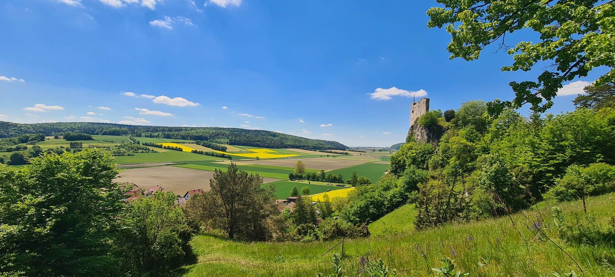
Urdonautalsteig – Hiking through past times
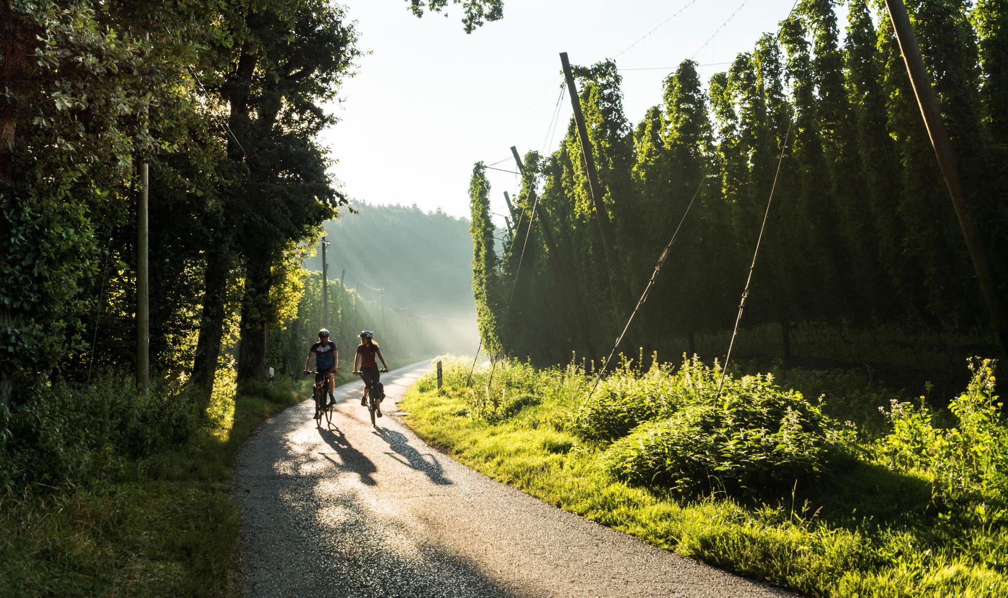
Beer and bikes – day Tours around Ingolstadt in Bavaria
Cycling around Rennertshofen
Road Cycling Routes around Rennertshofen
MTB Trails around Rennertshofen
Gravel biking around Rennertshofen
Mountain Hikes around Rennertshofen
Running Trails around Rennertshofen


Tips from the Community

It's really beautiful here
0
0

Beautiful view, but you can't see Altmannstein from here, but you can see Rennertshofen, Treidelheim and Mauern.
0
0

A small parking lot for hikers, ideal as a starting point for a hike to the Finkenstein lookout point. There's also a playground and benches for a snack.
1
0

The nature reserve encompasses the caves and the surrounding areas of the Jura slope. It was designated a protected area in 1979 (size: 7.03 hectares) due to the geological and ecological significance of the caves and the biodiversity of the adjacent dry grasslands. The Mauerner Höhlen Nature Reserve is located at the entrance to the Wellheim Urdonautal Valley, north of Mauern. It is known for its karst caves, which were inhabited by humans until the Paleolithic period and contain significant archaeological finds. The area is characterized by limestone slopes with rare vegetation, especially flowers and insects. Features of the Nature Reserve: •Karst caves: The caves are a geotope and natural monument that offers insights into the earth's history and the way of life of early humans. •Archaeological finds: Significant finds have been made in the caves, including animal and human remains, tools, and a limestone figure. •Limestone slopes: The steep slopes are covered with rare vegetation created by sheep grazing. •Flora and fauna: Numerous flowers and insects, such as the Argus Blue butterfly, are native here. •Hiking trails: There are well-maintained paths along the slope that invite you to hike and enjoy nature. •Nature conservation: The caves are protected by grilles to prevent collapse and looting.
1
0

Just a few meters from the hiking trail (signposted!) is this incredibly magnificent viewpoint: a sweeping view over the ancient Danube Valley. This tiny detour is a must—don't miss it! Even if you have to climb the last few meters...
0
0

Very nice view of the Danube
1
0

You can enjoy the great nature along the Danube.
2
0

Beautiful view of the Danube
3
0
Frequently Asked Questions
How many hiking trails are available around Rennertshofen?
Rennertshofen offers a wide variety of hiking experiences, with over 70 trails available. These routes cater to different preferences, ranging from easy strolls to more challenging treks through the diverse landscape.
What kind of terrain can I expect when hiking in Rennertshofen?
The terrain around Rennertshofen is quite varied. You'll find paths winding through the ancient Wellheimer Trockental, characterized by dramatic rock formations and a unique heath landscape. Other routes lead through tranquil forests, across green meadows, and along the picturesque Danube floodplains. The region also features rolling hills and interesting geological sites, including former coral reefs.
What do other hikers say about the trails in Rennertshofen?
The hiking routes in Rennertshofen are highly regarded by the komoot community, boasting an average rating of 4.7 stars from over 160 reviews. Hikers frequently praise the diverse landscapes, from the unique geological features of the Wellheimer Trockental to the serene riverside paths along the Danube.
Are there hiking trails for all skill levels in Rennertshofen?
Yes, Rennertshofen provides hiking options for every ability. Out of the 77 available routes, 22 are classified as easy, 51 as moderate, and 4 as difficult. This ensures that both casual walkers and experienced hikers can find suitable trails.
Are there any challenging long-distance hikes in the Rennertshofen area?
For those seeking a challenge, the region offers demanding routes. One notable difficult trail is the Dohlenfelsen – Wellheim Castle Ruins loop from Hütting, which spans 18.1 km (11.2 miles) and takes approximately 5 hours to complete. This route leads through dramatic rock formations and past historical ruins, offering a rewarding experience for seasoned hikers.
What natural landmarks or historical sights can I see along the hiking trails?
Hiking in Rennertshofen allows you to discover several natural and historical highlights. You can explore the unique rock formations of the Wellheimer Trockental, visit the Mauerner Caves (Weinberg Caves), or pass by the ruins of Wellheim Castle. The region's geological past is evident in sites like the Steinerner Rosenkranz rock formation and the Beixenhart Rock Arch, offering fascinating insights into the area's ancient history.
Are there family-friendly hiking options in Rennertshofen?
Yes, Rennertshofen has several easy and moderate trails suitable for families. These routes often lead through gentle landscapes like meadows and forests, providing a pleasant experience for all ages. While specific family-focused routes aren't detailed, the abundance of easy trails ensures options for families.
Are there circular hiking routes available in Rennertshofen?
Many of the trails around Rennertshofen are designed as circular routes, allowing you to start and end at the same point. Examples include the popular Weingut Bittenbrunn – Kneipp Basin at Finkenstein loop from Finkenstein, offering panoramic views over the Danube, and the Danube Cycle Path – Confluence of Lech and Danube loop from Bertoldsheim, which explores the Danube floodplains.
Can I hike with my dog in Rennertshofen?
Generally, the natural landscapes around Rennertshofen are welcoming to dogs. Many trails through forests, meadows, and along the Danube are suitable for walks with your canine companion. However, it's always advisable to keep dogs on a leash, especially in nature protection areas like parts of the Wellheimer Trockental, and to respect local regulations regarding wildlife and livestock.
What is the best time of year to go hiking in Rennertshofen?
Rennertshofen offers pleasant hiking conditions throughout much of the year. Spring brings blossoming orchards and vibrant green meadows, while autumn showcases beautiful foliage in the forests. Summer is ideal for enjoying the riverside paths, and even mild winter days can offer serene, quiet walks, especially in the Wellheimer Trockental. The best time depends on your preference for weather and scenery.
Are there any hikes that pass by cafes or places to rest?
While specific cafes directly on every trail are not detailed, many routes pass through or near Rennertshofen and its surrounding villages. These communities often provide opportunities to find local eateries or rest stops. For instance, the Rock Face Near Mauern Caves loop from Rennertshofen starts and ends in Rennertshofen, making it convenient to access amenities before or after your hike.
Are there easy hikes suitable for beginners in Rennertshofen?
Absolutely. Rennertshofen has 22 trails classified as easy, perfect for beginners or those looking for a relaxed walk. An example is the Rock face – Rock formation loop from Mauern, which is 5.9 km (3.7 miles) long and takes about 1 hour 40 minutes, offering an accessible way to enjoy the region's natural beauty.
Most popular routes around Rennertshofen
Most popular attractions around Rennertshofen

Get inspired with the komoot mobile app


Explore more
Browse the best Hikes in other regions.
