The best running trails around Oberschönegg
4.7
(118)
952
runners
150
runs
Jogging routes around Oberschönegg offer a diverse and scenic natural environment in the Unterallgäu district of Germany. The region features a hilly and densely wooded landscape, providing varied terrain for runners of all fitness levels. It acts as a bridge between the Haseltal and Günztal valleys, with routes often following riverside paths and leading through expansive forests. This tranquil setting is ideal for outdoor enthusiasts seeking natural beauty and well-developed infrastructure for active pursuits.
Best jogging routes around Oberschönegg
- The…
Last updated: July 1, 2026
12
runners
8.03km
00:50
30m
40m
Moderate run. Good fitness required. Mostly paved surfaces. Suitable for all skill levels.
4
runners
5.72km
00:36
30m
30m
Moderate run. Good fitness required. Mostly paved surfaces. Suitable for all skill levels.

Sign up for free
4
runners
8.57km
00:57
140m
140m
Moderate run. Good fitness required. Mostly paved surfaces. Suitable for all skill levels.
4
runners
7.59km
00:49
30m
30m
Moderate run. Good fitness required. Mostly paved surfaces. Suitable for all skill levels.
4
runners
8.51km
00:57
80m
80m
Moderate run. Good fitness required. Mostly paved surfaces. Suitable for all skill levels.
Get access to more routes and recommendations from other explorers.
Sign up for free
Already have an account?
Our route recommendations are based on thousands of hikes, rides, and runs completed by other people on komoot.
Start today with a free account
Your next adventure awaits.
Login or Signup

Tips from the Community

Duchess Mauritia Febronia of Bavaria (1652-1706) bequeathed a replica of the Altötting image to Christoph Imperial Count von Muggenthal, Lord of Bedernau. In 1721, he had the image of the Mother of God, highly venerated by the Duchess, placed in a chapel in his orchards, today known as Baumgärtle. Starting in 1726, a church and monastery were built, where Franciscans lived and supervised the pilgrimage. The pilgrimage flourished until the beginning of the 19th century. During the secularization of 1803, the monastery was closed; the church was sold for demolition in 1827. All that remained was the Chapel of Grace with the image of grace. Nevertheless, pilgrims continued to come to Baumgärtle. Several attempts were made to reestablish a monastery there. In 1871, the Missionaries of the Precious Blood received permission from Bishop Pancras of Augsburg to settle in Baumgärtle. In 1882/83, a new pilgrimage church was built and consecrated under the title "Presentation of Mary" (patronage feast on November 21). After 1945, the flow of visitors and pilgrims to Baumgärtle soon increased again. In 1949, the missionaries introduced the celebration of Fatima Day on the 13th of every month, which draws numerous believers. (https://bistum-augsburg.de/Glaube-und-Lehre/Wallfahrten/Wallfahrtsorte-und-Gebetsstaetten/Bildergalerien/Maria-Baumgaertle-Mariae-Opferung)
0
0


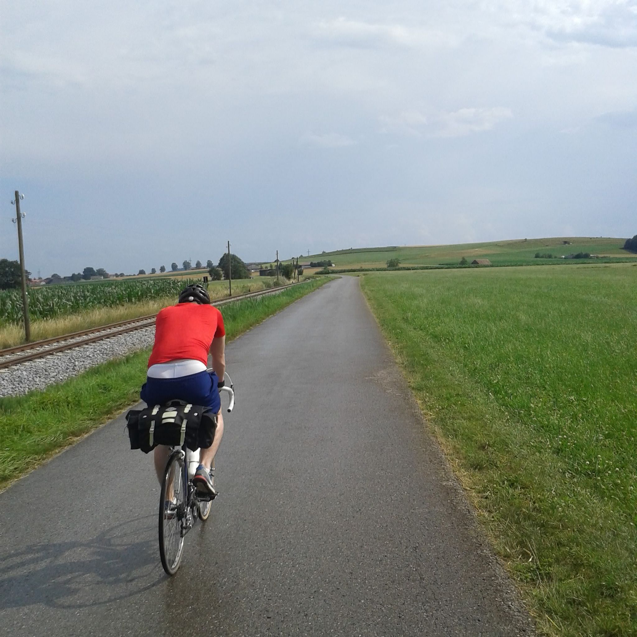
If you're already in the area, definitely include it in your tour. Fantastic, low-traffic area.
0
0

Great church in a fantastic cycling area
0
0

A place of stillness and inner contemplation
1
0
Nice place of rest - interesting you drive directly to the church.
1
0

church very nice
1
0
Very nice church in a dreamy place. Are driven from Türkheim 30km easy.
1
0
Frequently Asked Questions
How many running routes are available in Oberschönegg?
There are over 150 running routes around Oberschönegg, catering to various fitness levels. The majority, about 127, are considered moderate, with nearly 20 easy options and a few more challenging trails.
What kind of terrain can I expect on the jogging trails in Oberschönegg?
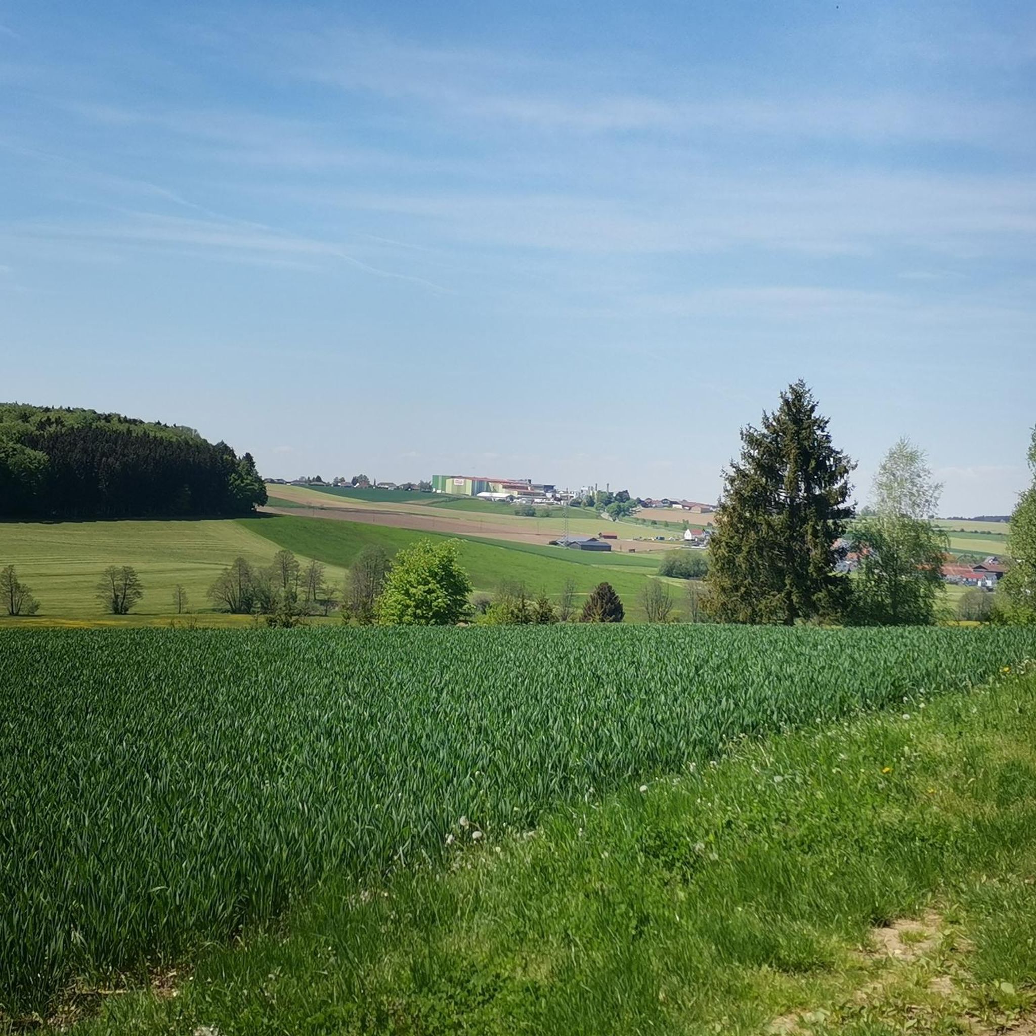
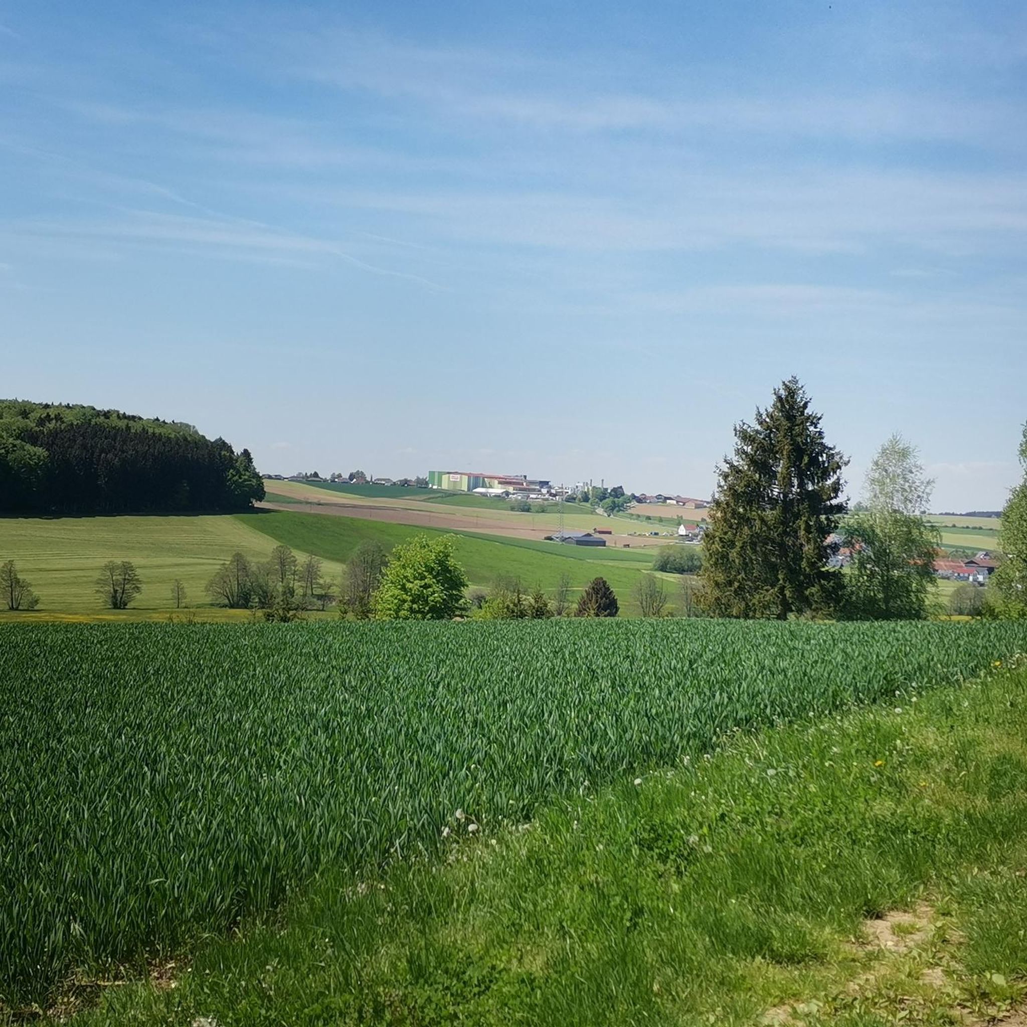
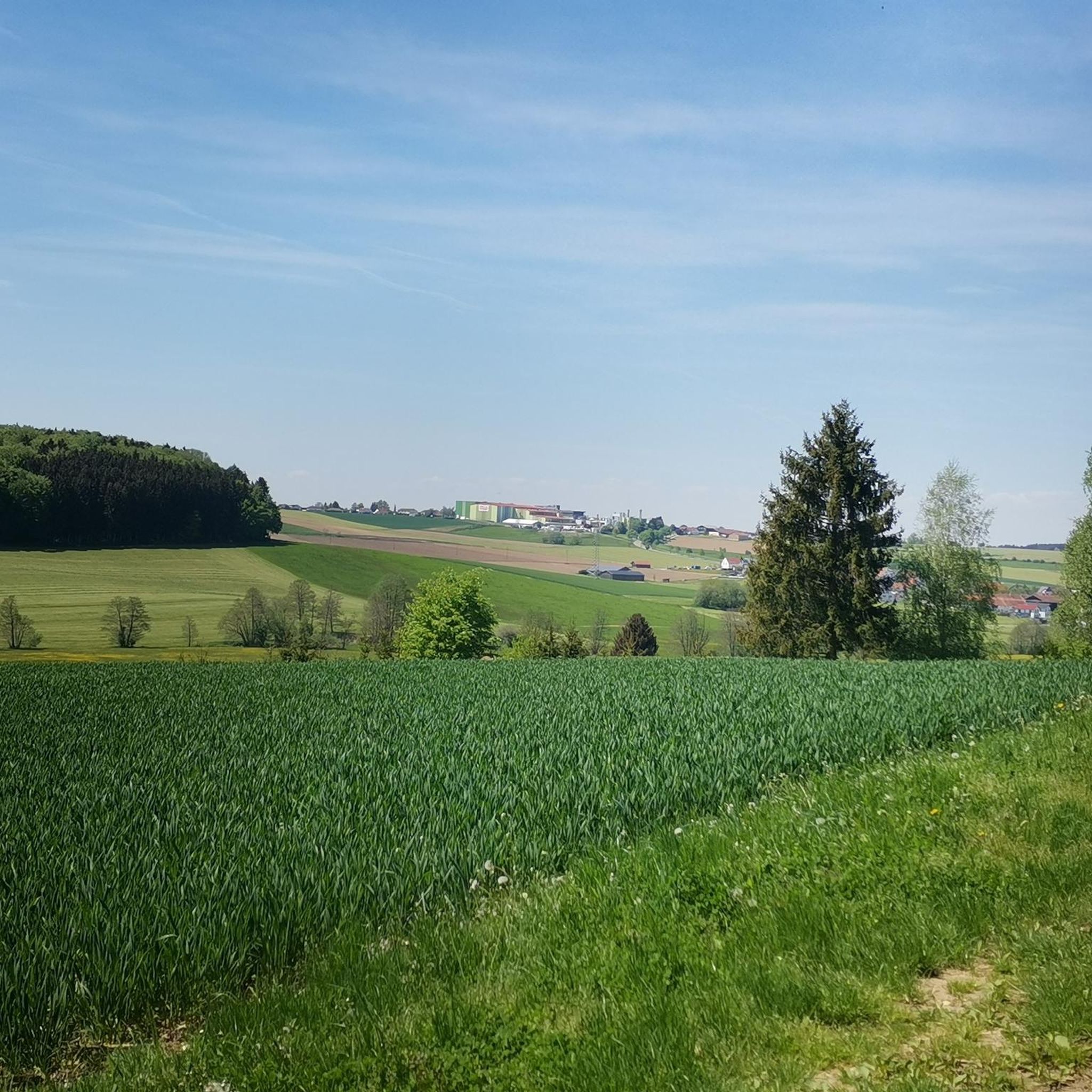
The Oberschönegg region is characterized by its diverse and scenic natural environment, featuring a hilly and densely wooded landscape. You'll find routes that traverse idyllic countryside, follow riverside paths, and lead through expansive forests, offering varied running experiences.
Are there any circular running routes in the Oberschönegg area?
Yes, many of the running routes in Oberschönegg are designed as loops, allowing you to start and finish in the same location. For example, the Running loop from Engishausen and the Gutnach Trail loop from Baumgärtle are popular circular options.
Are there running routes suitable for beginners or those looking for an easy jog?
Absolutely. Oberschönegg offers nearly 20 easy running routes, perfect for beginners or those seeking a more relaxed pace. These trails typically feature gentle elevation changes and pleasant scenery.
What do other runners enjoy most about jogging in Oberschönegg?
The komoot community highly rates the running experience in Oberschönegg, with an average score of 4.7 stars from over 100 reviews. Runners often praise the tranquil, varied topography, the beautiful natural scenery, and the well-developed infrastructure for outdoor activities.
Are there any notable landmarks or viewpoints along the running trails?
Yes, you can discover several interesting points of interest. The Römer Tower (Altenschönegg Castle) offers magnificent panoramic views. The Mariental Pilgrimage Site in the Forest provides a serene setting, and the Lourdes Grotto is a recognized natural monument. Some routes also offer picturesque views into the Haseltal and Günztal valleys.
Can I find family-friendly running trails in Oberschönegg?
While specific 'family-friendly' designations aren't always explicit, the region's many easy and moderate routes through idyllic countryside and forests are generally suitable for families. Look for trails with minimal elevation gain and pleasant surroundings, such as those along the Günz river, which often provide a relaxed environment.
Are the running routes in Oberschönegg dog-friendly?
Many of the natural trails and forest paths in Oberschönegg are suitable for running with dogs. However, it's always recommended to keep your dog on a leash, especially in wooded areas or near agricultural land, and to be mindful of local regulations and other trail users.
What is the best time of year to go running in Oberschönegg?
Oberschönegg is appealing for outdoor activities throughout the year. Spring is beautiful with blooming flowers, and autumn offers stunning foliage. The varied terrain means you can find suitable routes in most seasons, though checking local weather conditions is always advisable.
Are there any running routes that pass by the Günz river?
Yes, the region acts as a bridge between the Haseltal and Günztal valleys, and the Günztal Cycle Path runs through the area. This suggests pleasant routes alongside the Günz river, offering a different scenic experience compared to the hilly, wooded trails.
Where can I find parking for the running trails in Oberschönegg?
While specific parking details for every route aren't listed, many trailheads in the Oberschönegg area, especially those starting from villages like Engishausen or Babenhausen, typically offer designated parking options. It's advisable to check the starting point of your chosen route for specific parking information.
Are there any cafes or places to refresh near the running routes?
Oberschönegg and its surrounding villages like Babenhausen offer local amenities including cafes and guesthouses. While not directly on every trail, you can often find places to refresh in the nearby communities after your run.
Most popular routes around Oberschönegg
Most popular attractions around Oberschönegg

Get inspired with the komoot mobile app


Explore more
Browse the best Running Trails & Routes in other regions.
