The best walks and hikes around Oberschönegg
4.7
(50)
172
hikers
24
hikes
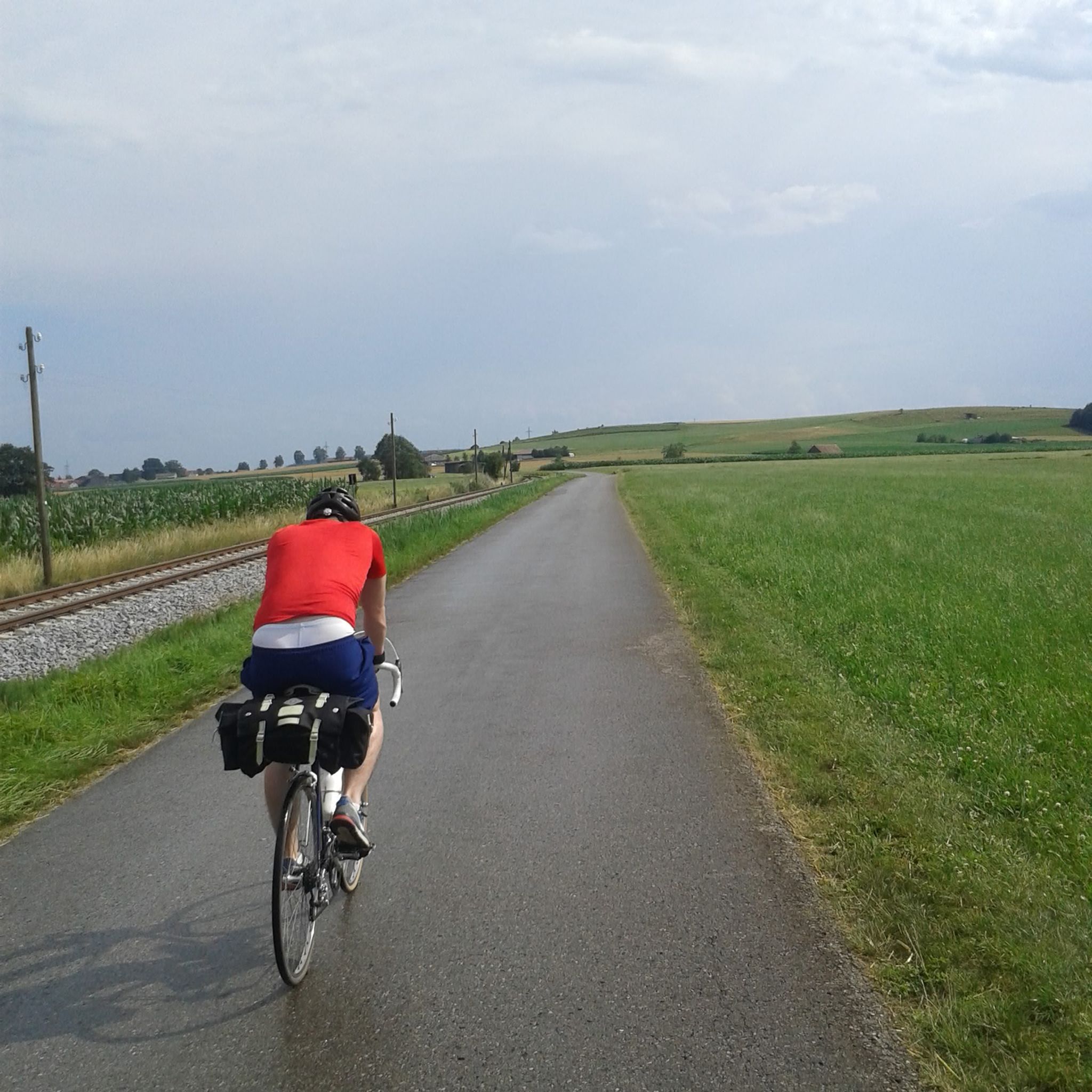
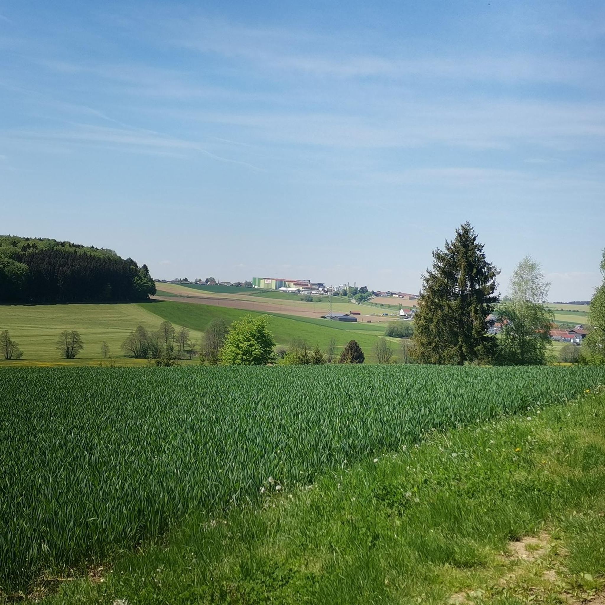
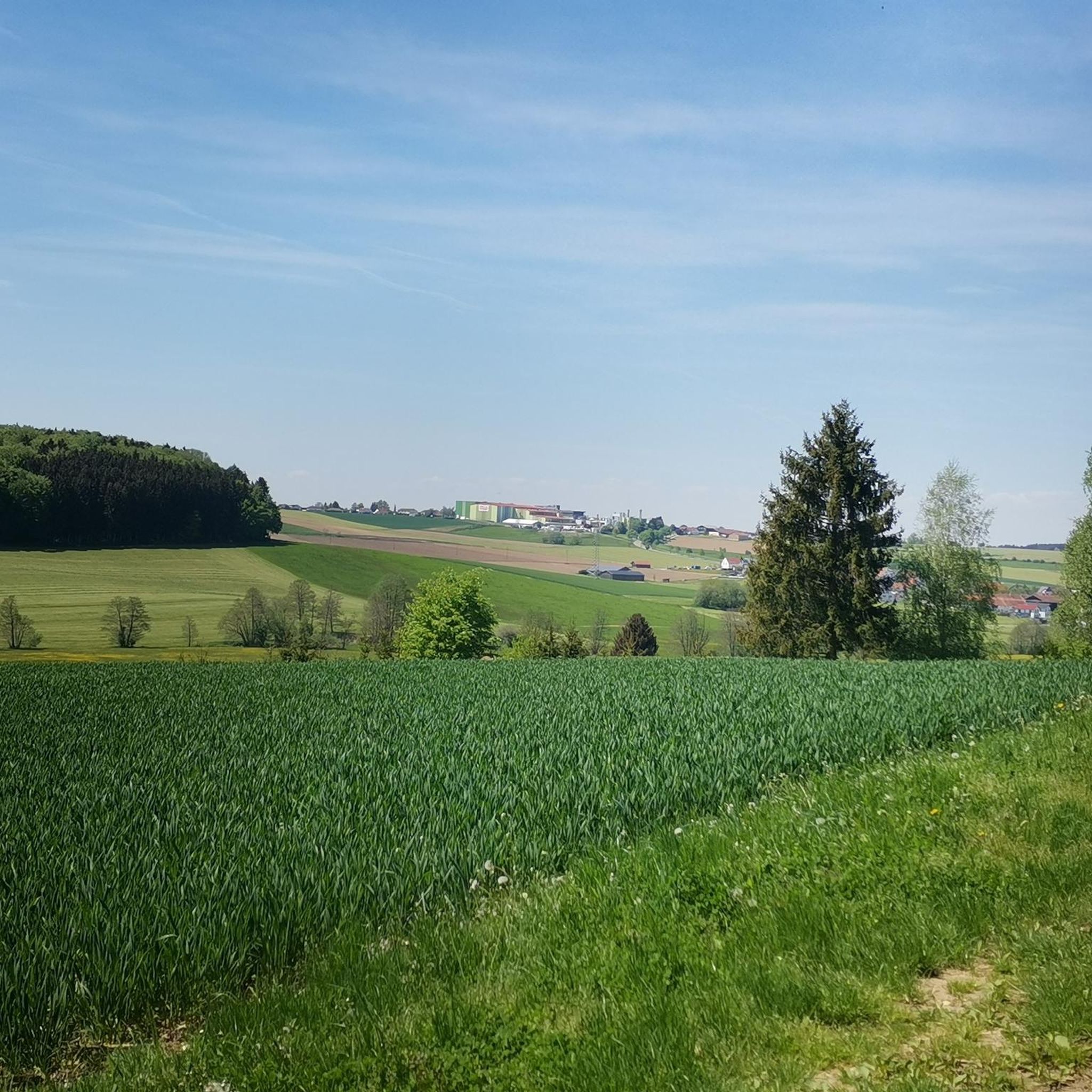
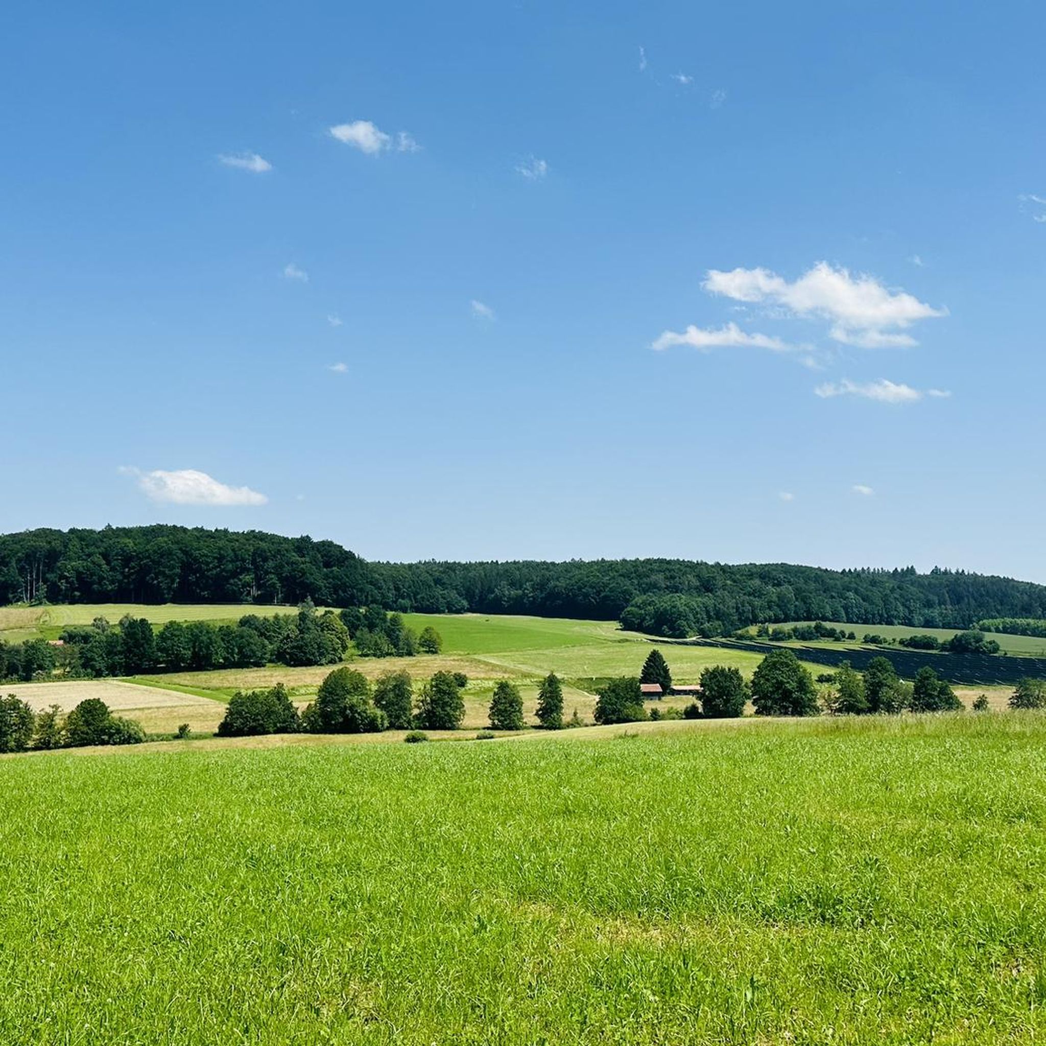
Hiking around Oberschönegg offers routes through a gently undulating terrain characterized by expansive fields, lush meadows, and small forests. The region, part of the Unterallgäu district, features a tranquil rural landscape with fruit trees and reed-filled stream beds. Its gentle topography allows for hiking trails without significant climbs, making them accessible for various fitness levels. On clear days, distant views of the Alps can be observed from elevated points.
Best hiking trails around Oberschönegg
- The most popular hiking route is…
Last updated: October 11, 2026
4.9
(9)
29
hikers
6.23km
01:40
80m
80m
Easy hike. Great for any fitness level. Easily-accessible paths. Suitable for all skill levels.
5.0
(7)
32
hikers
Easy hike. Great for any fitness level. Easily-accessible paths. Suitable for all skill levels.

4.0
(1)
6
hikers
5.15km
01:24
80m
80m
Easy hike. Great for any fitness level. Easily-accessible paths. Suitable for all skill levels.
3.6
(8)
24
hikers
Moderate hike. Good fitness required. Easily-accessible paths. Suitable for all skill levels.
3.6
(8)
16
hikers
9.57km
02:32
100m
100m
Moderate hike. Good fitness required. Easily-accessible paths. Suitable for all skill levels.
Get access to more routes and recommendations from other explorers.
Already have an account?
Our route recommendations are based on thousands of hikes, rides, and runs completed by other people on komoot.
Start today with a free account
Your next adventure awaits.

Tips from the Community

A reconstructed Roman tower very nice view
0
0

A place of stillness
1
0


A completely different world, away from normal everyday life
0
1

Interesting but a little creepy
0
0

Very beautiful the Mariental
1
0

Unfortunately he passed away a few months ago.
1
0

The hermit himself died in 2020
1
0
Frequently Asked Questions
How many hiking trails are available in Oberschönegg?
There are over 20 hiking routes around Oberschönegg, offering a variety of experiences for different fitness levels.
What kind of terrain can I expect on hikes in Oberschönegg?
The region features a gentle, undulating terrain with expansive fields, lush meadows, and small forests. Most trails have a gentle topography, allowing for enjoyable tours without significant climbs, making them accessible for various hiking levels.
Are there any family-friendly hiking options in Oberschönegg?
Yes, Oberschönegg's gentle topography and varied scenery make it suitable for families. Many of the routes are classified as easy, such as the Märxle Forest Adventure Trail – Forest House Rest Area loop from Dietershofen, which offers an engaging experience through the forest.
What are some notable landmarks or viewpoints I can discover while hiking?
Hikers can explore several interesting sites. The Römer Tower (Altenschönegg Castle) offers extensive views into the Günztal valley. You might also encounter the unique Lourdes Grotto or the impressive Giant Spruce in Mariental. On clear days, elevated points like the small village of Daxberg offer panoramic views of the distant Alps.
Are there any circular walks recommended in Oberschönegg?
Yes, many routes in Oberschönegg are circular, providing convenient starting and ending points. For example, the View of the Countryside loop from Babenhausen is a moderate 9.6 km trail that allows you to experience the region's diverse landscape.
What is the best time of year to go hiking in Oberschönegg?
Hiking in Oberschönegg is particularly beautiful in spring when everything is in bloom, or in autumn when the leaves are falling, offering vibrant colors. The clear air and wide vistas are enjoyable throughout the warmer months.
Are there any routes that pass by water features like waterfalls or rivers?
Yes, some trails in the area incorporate water features. You can find the Mindel Waterfall and the Renatured Mindel River, which can be integrated into your hiking plans for a refreshing experience.
What do other hikers enjoy most about hiking in Oberschönegg?
The area is highly rated by the komoot community, with an average score of 4.5 stars. Reviewers often praise the tranquil rural landscape, the varied terrain of fields and forests, and the accessibility of trails without significant climbs.
Are there any easy hikes with convenient parking in Oberschönegg?
Many of the easy routes in Oberschönegg are designed for accessibility. While specific parking details vary by trailhead, routes like the Hiking loop from Oberschönegg are popular and generally have convenient access points near the village.
Can I spot wildlife while hiking in Oberschönegg?
Yes, the tranquil rural landscape with its meadows and small forests provides habitats for various wildlife. Deer can often be spotted in clearings during the evenings, and the reed-filled stream beds support diverse birdlife.
How long do hikes in Oberschönegg typically take?
Hikes in Oberschönegg vary in length and duration. Many easy trails, like the Forest House Rest Area – Fatimaweg loop from Dietershofen, can be completed in under two hours. Moderate routes, such as the View of the Countryside loop from Oberschönegg, might take around two and a half hours.
Are there any religious or spiritual sites that can be visited during a hike?
Yes, the region has several significant religious sites. You can visit the renowned Pilgrimage Church of the Assumption of the Virgin Mary in Baumgärtle, or explore the unique Mariental Pilgrimage Site in the forest, which features self-built chapels and a hermitage.
Most popular routes around Oberschönegg
Most popular attractions around Oberschönegg

Get inspired with the komoot mobile app


Explore more
Browse the best Hikes in other regions.
