The best running trails around Oberrieden, Unterallgäu
4.7
(208)
1,460
runners
184
runs
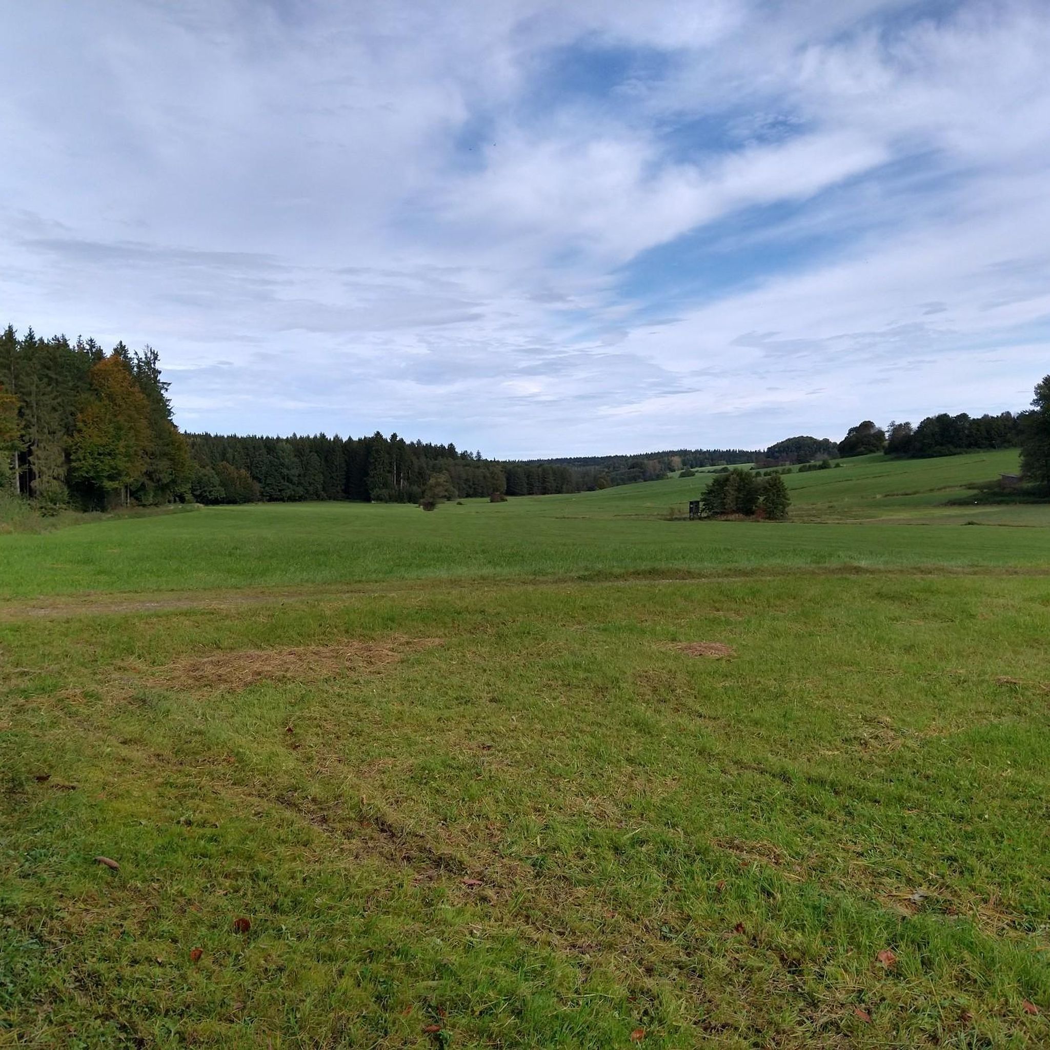
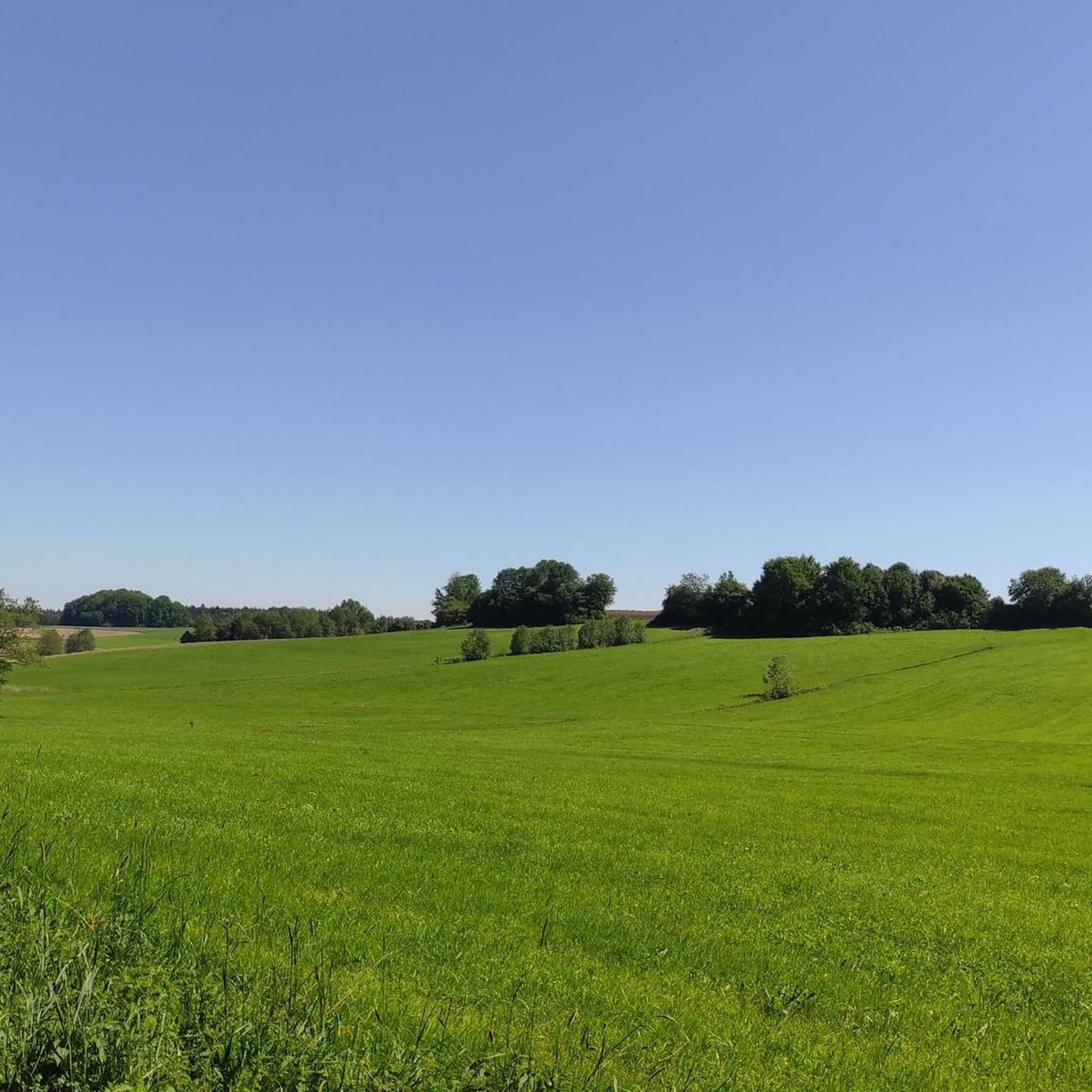
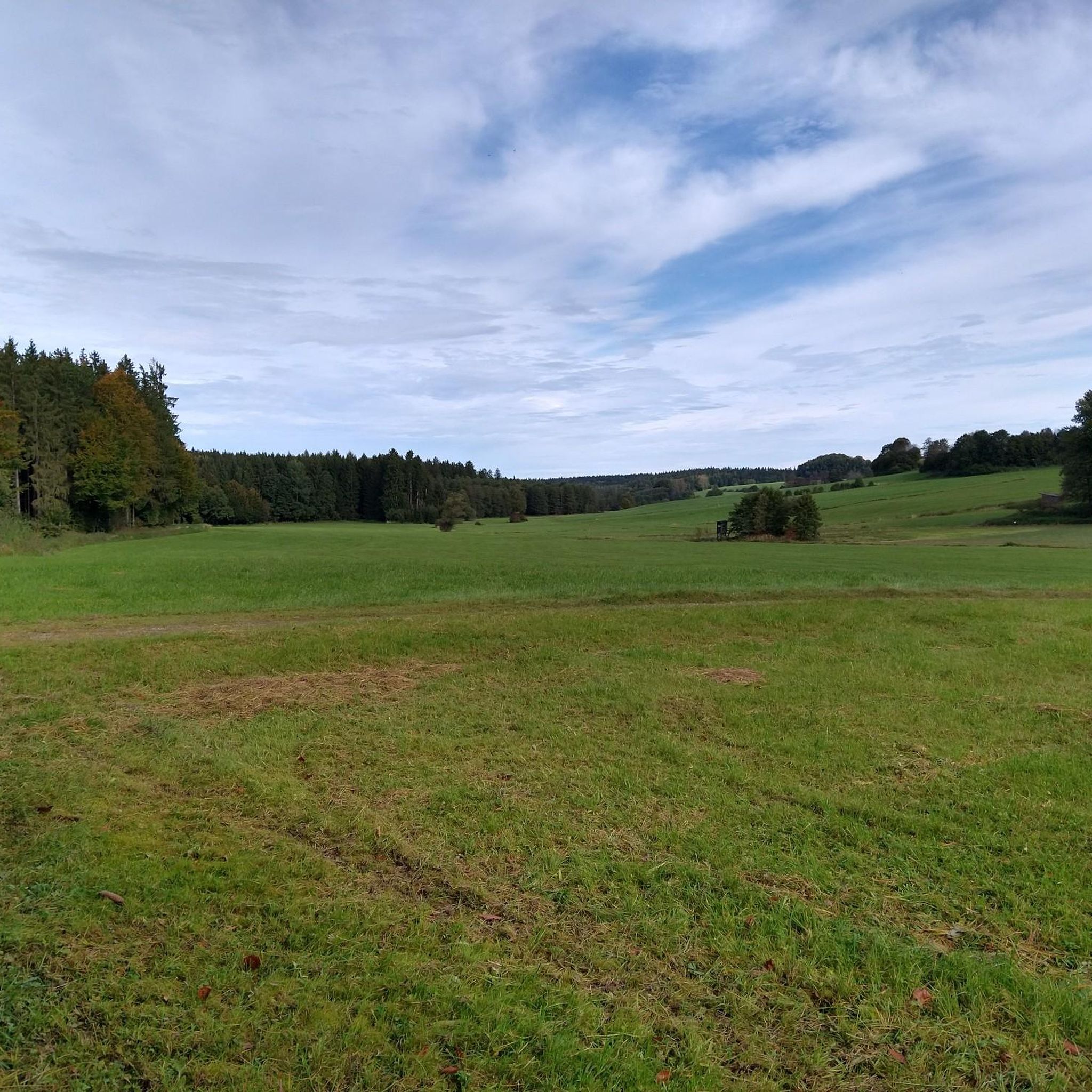
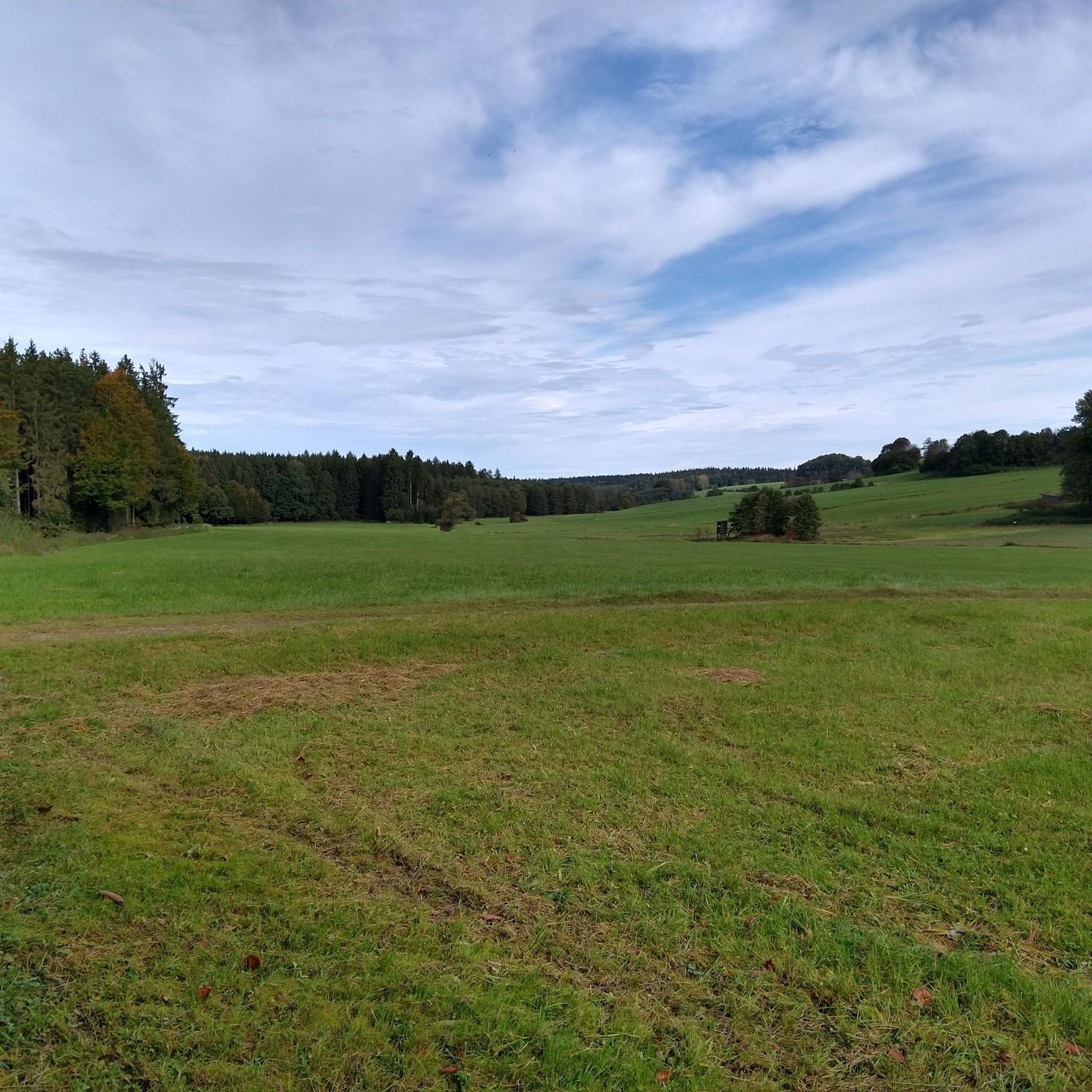
Jogging routes around Oberrieden, Unterallgäu are set within a landscape of gentle rolling hills, expansive green meadows, and the meandering Kammel stream. The region, situated east of the Iller river, offers wide-ranging views over agricultural fields and small wooded areas. Paths often connect local farms to the open countryside, transitioning into well-maintained field and farm tracks. This environment provides a tranquil setting for various running experiences.
Best jogging routes around Oberrieden, Unterallgäu
- The most popular jogging route is Running loop…
Last updated: October 5, 2026
5.0
(1)
16
runners
11.6km
01:12
40m
40m
Moderate run. Good fitness required. Mostly paved surfaces. Suitable for all skill levels.
6
runners
17.6km
01:49
40m
40m
Hard run. Very good fitness required. Mostly paved surfaces. Suitable for all skill levels.

4
runners
9.81km
01:04
140m
140m
Moderate run. Good fitness required. Mostly paved surfaces. Suitable for all skill levels.
4
runners
6.33km
00:40
20m
20m
Moderate run. Good fitness required. Mostly paved surfaces. Suitable for all skill levels.
5
runners
7.75km
00:49
50m
50m
Moderate run. Good fitness required. Mostly paved surfaces. Suitable for all skill levels.
Get access to more routes and recommendations from other explorers.
Already have an account?
Our route recommendations are based on thousands of hikes, rides, and runs completed by other people on komoot.
Start today with a free account
Your next adventure awaits.
Tips from the Community

Duchess Mauritia Febronia of Bavaria (1652-1706) bequeathed a replica of the Altötting image to Christoph Imperial Count von Muggenthal, Lord of Bedernau. In 1721, he had the image of the Mother of God, highly venerated by the Duchess, placed in a chapel in his orchards, today known as Baumgärtle. Starting in 1726, a church and monastery were built, where Franciscans lived and supervised the pilgrimage. The pilgrimage flourished until the beginning of the 19th century. During the secularization of 1803, the monastery was closed; the church was sold for demolition in 1827. All that remained was the Chapel of Grace with the image of grace. Nevertheless, pilgrims continued to come to Baumgärtle. Several attempts were made to reestablish a monastery there. In 1871, the Missionaries of the Precious Blood received permission from Bishop Pancras of Augsburg to settle in Baumgärtle. In 1882/83, a new pilgrimage church was built and consecrated under the title "Presentation of Mary" (patronage feast on November 21). After 1945, the flow of visitors and pilgrims to Baumgärtle soon increased again. In 1949, the missionaries introduced the celebration of Fatima Day on the 13th of every month, which draws numerous believers. (https://bistum-augsburg.de/Glaube-und-Lehre/Wallfahrten/Wallfahrtsorte-und-Gebetsstaetten/Bildergalerien/Maria-Baumgaertle-Mariae-Opferung)
0
0


The Mindel is a right tributary of the Danube and flows through the fertile and largely flat land near Hasberg.
2
0

If you're already in the area, definitely include it in your tour. Fantastic, low-traffic area.
1
0

Great church in a fantastic cycling area
0
0

A place of stillness and inner contemplation
1
0
Nice place of rest - interesting you drive directly to the church.
1
0
Frequently Asked Questions
How many running routes are available around Oberrieden, Unterallgäu?
There are nearly 200 running routes in the Oberrieden, Unterallgäu region. These trails cater to various preferences, offering a wide range of distances and difficulty levels for joggers.
Are there running routes for all fitness levels in Oberrieden, Unterallgäu?
Yes, the region offers a good variety of running paths suitable for different fitness levels. You'll find 24 easy routes, 158 moderate routes, and 16 more challenging trails, ensuring there's something for everyone from beginners to experienced runners.
What kind of scenery can I expect on the jogging trails in Oberrieden?
The jogging trails in Oberrieden, Unterallgäu, wind through picturesque landscapes characterized by gentle rolling hills, expansive green meadows, and the meandering Kammel stream. You can enjoy wide-ranging views over agricultural fields, small wooded areas, and on clear days, even the distant Staudenränder and Mittelschwäbischen Hügelland.
Are there circular running routes available in Oberrieden, Unterallgäu?
Yes, many of the running paths in the area are designed as loops, allowing you to start and finish at the same point. For example, the Running loop from Oberrieden is a popular moderate option that starts and ends in the village itself.
What do other runners enjoy most about jogging in Oberrieden, Unterallgäu?
The running routes in Oberrieden, Unterallgäu are highly rated by the komoot community, with an average score of 4.7 stars from over 190 reviews. Runners often praise the tranquil environment, the diverse natural landscapes, and the well-maintained field and farm tracks that make for an enjoyable experience.
Are the jogging trails around Oberrieden suitable for running with dogs?
The natural environment of Oberrieden, with its open countryside, field tracks, and wooded sections, is generally suitable for running with dogs. However, it's always recommended to keep dogs on a leash, especially near agricultural areas or wildlife, and to respect local regulations.
Are there any family-friendly running routes in the Oberrieden area?
Yes, the region offers several easier paths with flat connections between hamlets, which are ideal for families or those looking for a more relaxed run. These routes often follow well-maintained field and farm tracks, providing a pleasant experience for all ages.
What are some interesting natural attractions or landmarks I might see while running near Oberrieden?
While jogging, you might encounter various natural features like the meandering Kammel stream or spot local wildlife such as larks and deer at field edges. For specific points of interest, consider exploring highlights like the Lohhofer Pond or the Zusamquelle (Source of the Zusam), which are part of the broader natural landscape.
Are there running routes that offer views of water features?
Yes, the Kammel stream meanders through the region, and many paths run alongside it, offering pleasant, water-rich sections. Additionally, you can find routes near several ponds and lakes, such as the Pond with Caribbean-blue water, providing refreshing views during your run.
What is the best time of year to go jogging in Oberrieden, Unterallgäu?
Oberrieden offers charm throughout the seasons. In summer, shaded path sections and areas near the Kammel stream provide a refreshing experience. The open fields are beautiful in spring and autumn, and even in winter, the landscape is suitable for outdoor activities, with straightforward orientation for those exploring off-path.
Are there any longer, more challenging running trails for experienced runners?
Absolutely. For those seeking a greater challenge, routes like the Mindel River at Hasberg loop from Pfaffenhausen offer a difficult 11.0 miles (17.7 km) path with varied terrain, following the Mindel River.
Can I find running routes that are less crowded or 'hidden'?
The region is generally described as 'friendly and quiet,' offering a peaceful escape. Many paths connect local farms and gardens directly to the open countryside, transitioning into well-maintained field and farm tracks, which often provide a sense of tranquility away from busier areas.
Most popular routes around Oberrieden, Unterallgäu
Most popular attractions around Oberrieden, Unterallgäu

Get inspired with the komoot mobile app


Explore more
Browse the best Running Trails & Routes in other regions.
