The best walks and hikes around Oberrieden, Unterallgäu
4.5
(673)
3,043
hikers
448
hikes
Hiking around Oberrieden, Unterallgäu offers trails through a landscape characterized by rolling hills, dense woodlands, and open meadows. The region features gentle elevation changes, making many routes accessible for various fitness levels. Paths often lead through serene forest areas and past local points of interest. This area provides a natural setting for outdoor activities, with a focus on tranquil, green environments.
Best hiking trails around Oberrieden, Unterallgäu
- The most popular hiking route is Fatimaweg – Forest House Rest Area loop…
Last updated: October 11, 2026
4.0
(4)
25
hikers
9.39km
02:33
140m
140m
Moderate hike. Good fitness required. Easily-accessible paths. Suitable for all skill levels.
5.0
(8)
34
hikers
3.39km
00:55
50m
50m
Easy hike. Great for any fitness level. Easily-accessible paths. Suitable for all skill levels.

3.7
(3)
10
hikers
7.19km
01:55
80m
80m
Easy hike. Great for any fitness level. Easily-accessible paths. Suitable for all skill levels.
3.0
(1)
9
hikers
Moderate hike. Good fitness required. Easily-accessible paths. Suitable for all skill levels.
6
hikers
8.74km
02:23
130m
130m
Moderate hike. Good fitness required. Easily-accessible paths. Suitable for all skill levels.
Get access to more routes and recommendations from other explorers.
Already have an account?
Our route recommendations are based on thousands of hikes, rides, and runs completed by other people on komoot.
Start today with a free account
Your next adventure awaits.
Tips from the Community

I left the Catholic Church about 30 years ago, but I still visit chapels and churches during my bike tours. In Unter- and Oberallgäu, many are worth seeing and also far from tourist paths. The pilgrimage church is not very beautiful for my taste. Great are e.g. Ottobeuren, Obergünzburg, Sulzberg or Nesselwang.
0
0

Unfortunately, she fell.
0
0

Duchess Mauritia Febronia of Bavaria (1652-1706) bequeathed a replica of the Altötting image to Christoph Imperial Count von Muggenthal, Lord of Bedernau. In 1721, he had the image of the Mother of God, highly venerated by the Duchess, placed in a chapel in his orchards, today known as Baumgärtle. Starting in 1726, a church and monastery were built, where Franciscans lived and supervised the pilgrimage. The pilgrimage flourished until the beginning of the 19th century. During the secularization of 1803, the monastery was closed; the church was sold for demolition in 1827. All that remained was the Chapel of Grace with the image of grace. Nevertheless, pilgrims continued to come to Baumgärtle. Several attempts were made to reestablish a monastery there. In 1871, the Missionaries of the Precious Blood received permission from Bishop Pancras of Augsburg to settle in Baumgärtle. In 1882/83, a new pilgrimage church was built and consecrated under the title "Presentation of Mary" (patronage feast on November 21). After 1945, the flow of visitors and pilgrims to Baumgärtle soon increased again. In 1949, the missionaries introduced the celebration of Fatima Day on the 13th of every month, which draws numerous believers. (https://bistum-augsburg.de/Glaube-und-Lehre/Wallfahrten/Wallfahrtsorte-und-Gebetsstaetten/Bildergalerien/Maria-Baumgaertle-Mariae-Opferung)
0
0

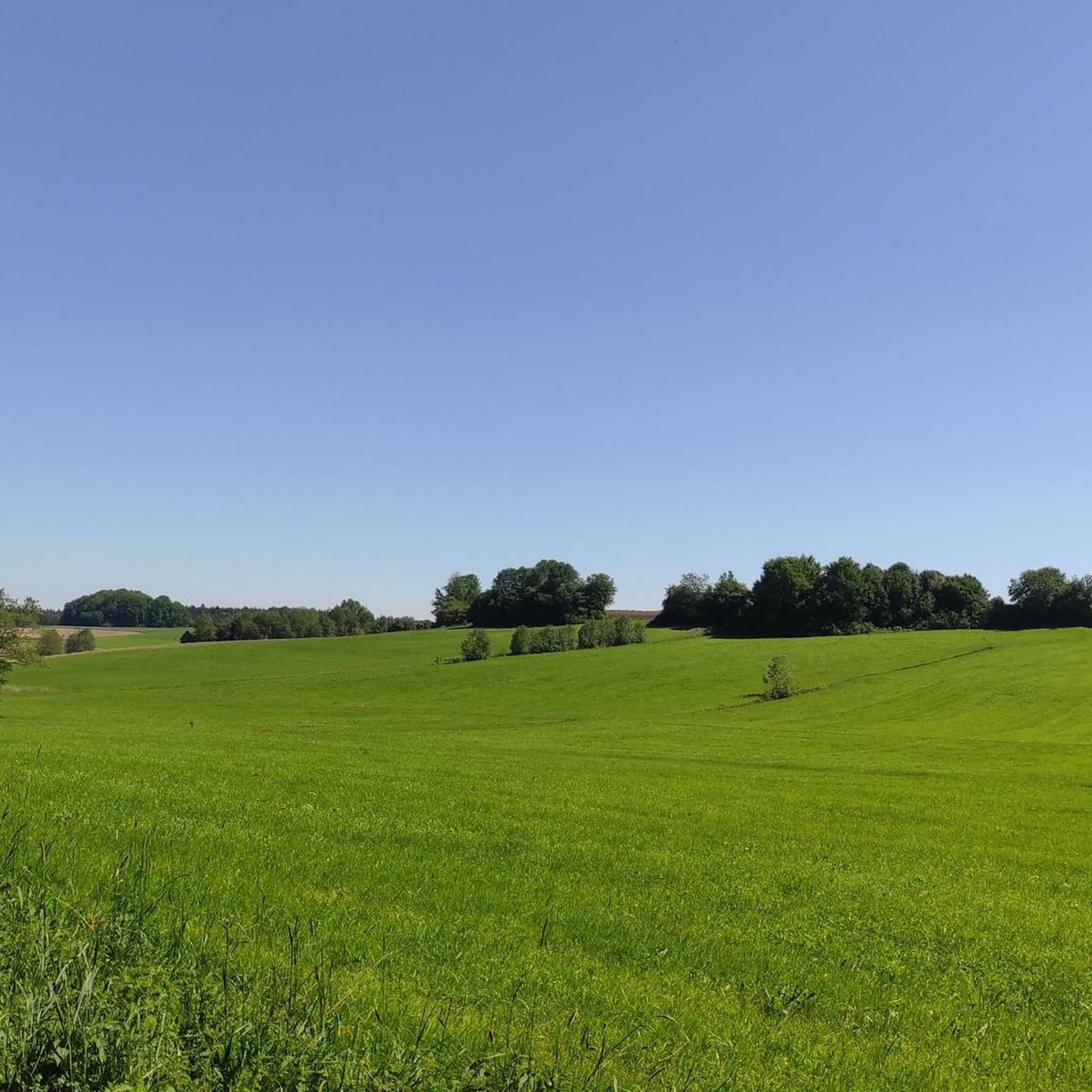
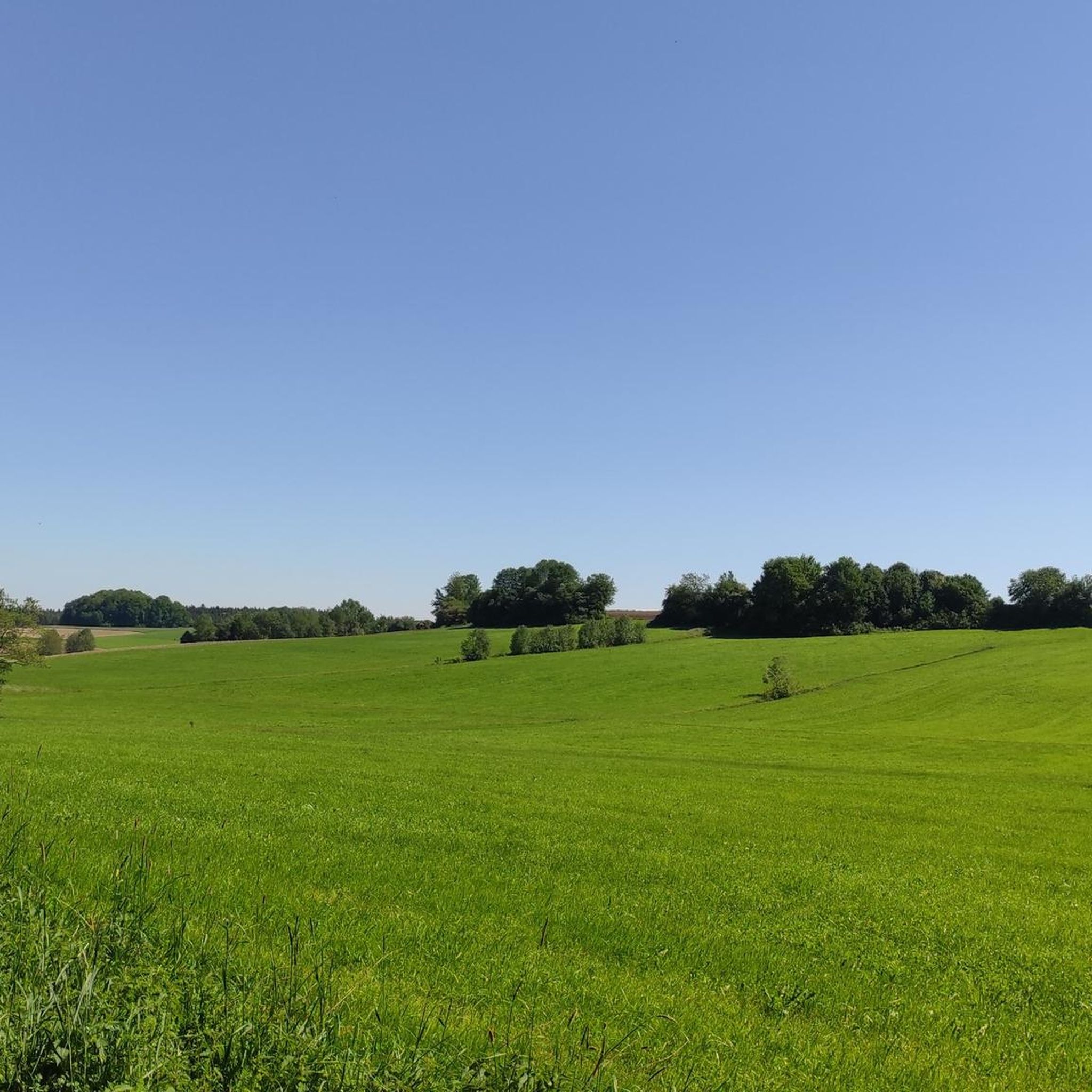
Beautiful paths... and great light play depending on the time of day and year
0
0
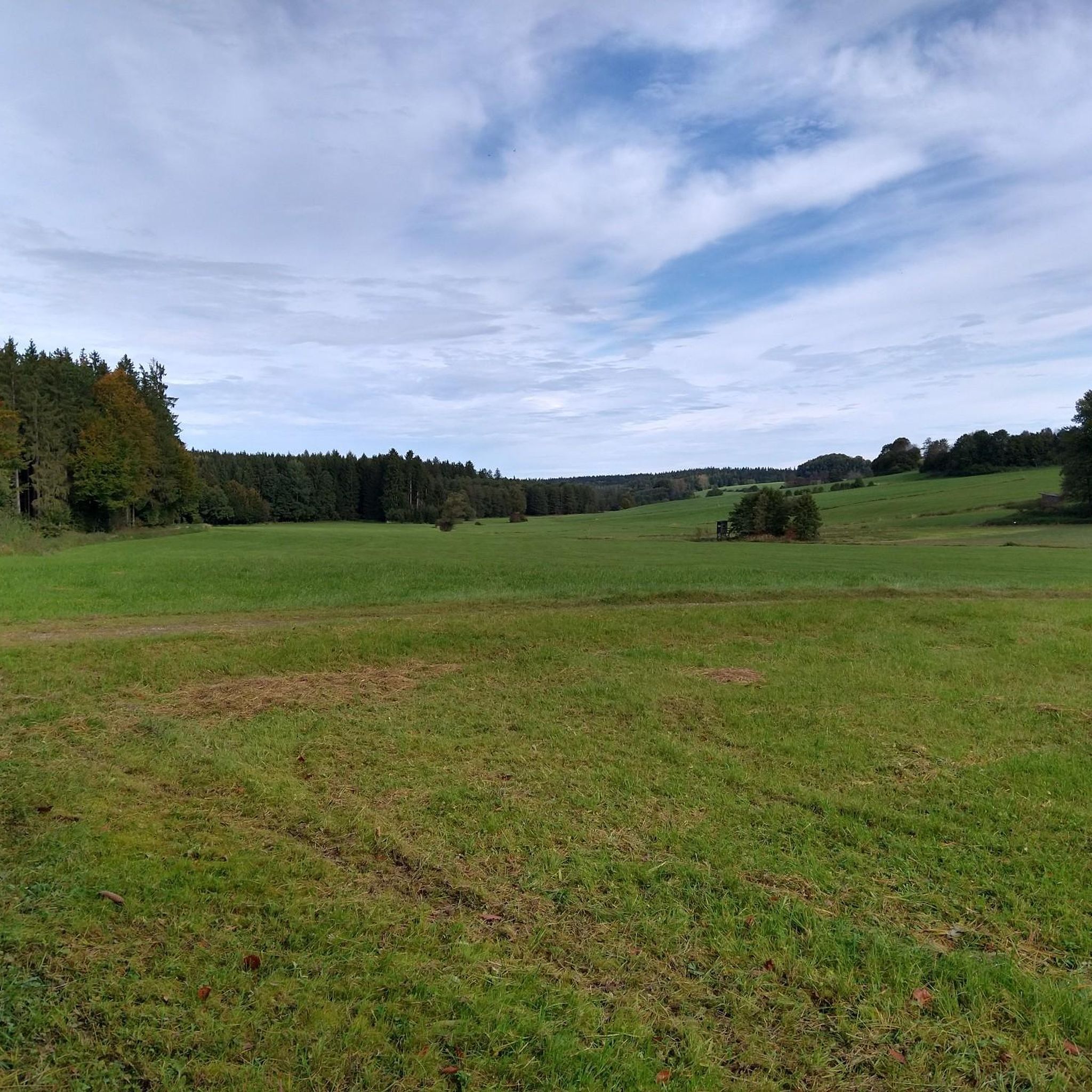
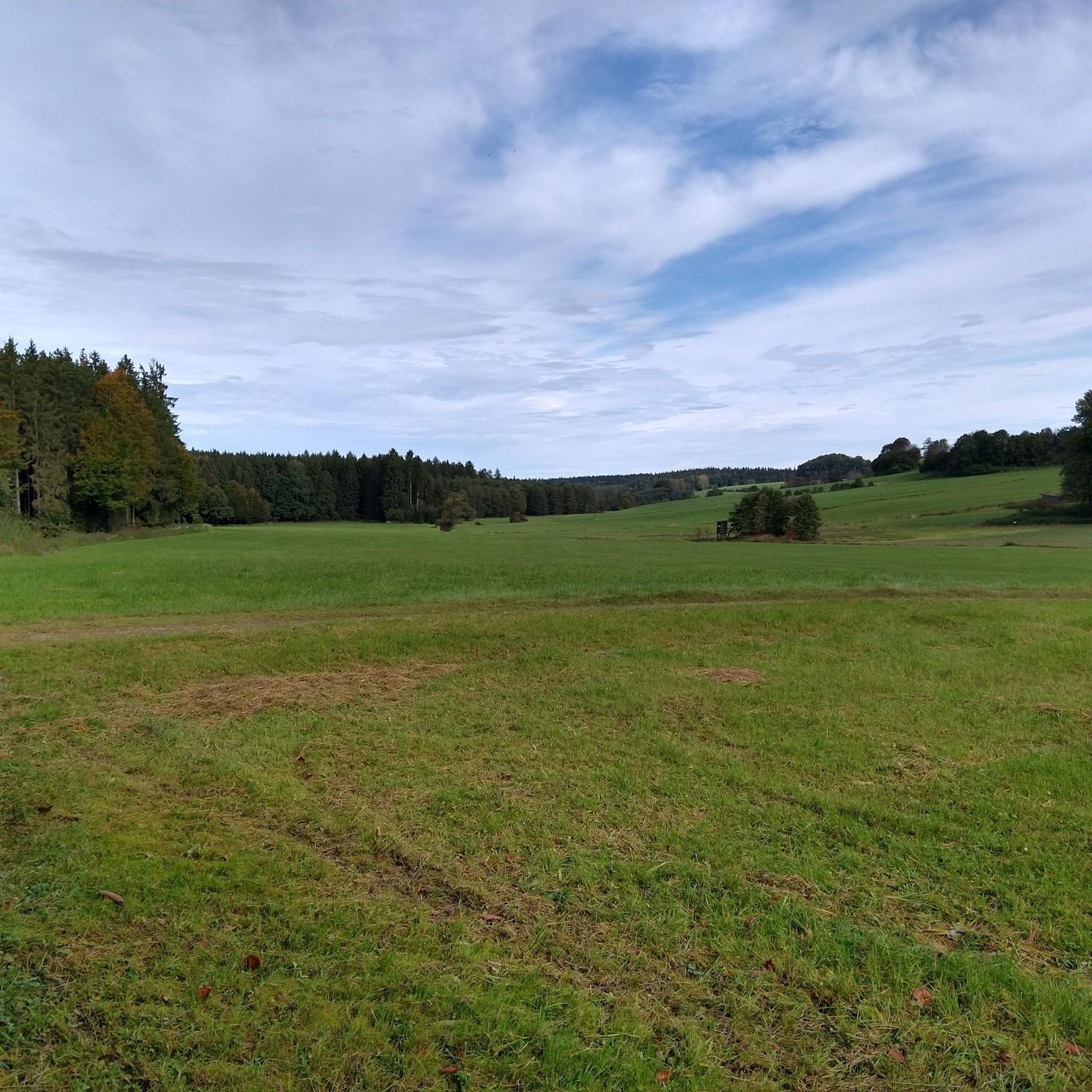
Take a short break and enjoy this wonderful view over the entire valley
0
0
beautiful... you can also sit and relax
0
0


If you're already in the area, definitely include it in your tour. Fantastic, low-traffic area.
1
0
Frequently Asked Questions
How many hiking trails are available around Oberrieden, Unterallgäu?
There are over 400 hiking routes recorded around Oberrieden, Unterallgäu on komoot, offering a wide variety of options for different preferences and fitness levels.
Are there easy hiking trails suitable for beginners or families in Oberrieden, Unterallgäu?
Yes, the region is known for its gentle elevation changes, making many routes accessible. Over 260 of the trails are classified as easy. An example is the Giant Spruce in Mariental – Fatimaweg loop from Baumgärtle, which is 3.0 km long and takes about 49 minutes to complete.
What kind of terrain can I expect on hikes in Oberrieden, Unterallgäu?
Hiking around Oberrieden, Unterallgäu primarily features trails through rolling hills, dense woodlands, and open meadows. The paths often lead through serene forest areas, providing a tranquil natural setting.
Are there any circular hiking routes in the area?
Yes, many routes in Oberrieden, Unterallgäu are circular, allowing you to start and end at the same point. For instance, the Mariengrotte – Baumgärtle Rose Garden loop from Baumgärtle is a moderate 9.3 km circular path.
What are some notable natural attractions or landmarks to see while hiking?
Hikers can explore several interesting points. You might encounter natural monuments like the Kämmerle Spring or the Zusamquelle (Source of the Zusam). The region also features historical sites such as Mindelburg or Fugger Castle, Kirchheim.
Are there any challenging hiking routes for experienced hikers?
While the region is generally characterized by gentle terrain, there are some more challenging options available. Approximately 10 routes are classified as difficult, offering more strenuous climbs and longer distances for experienced hikers.
What do other hikers enjoy most about the trails in Oberrieden, Unterallgäu?
The trails in Oberrieden, Unterallgäu are highly rated by the komoot community, with an average score of 4.5 stars from over 400 reviews. Hikers often praise the extensive forest paths, the tranquil natural settings, and the well-maintained routes that cater to various ability levels.
Is Oberrieden, Unterallgäu suitable for dog-friendly hikes?
Given the extensive network of forest paths and open meadows, many trails in Oberrieden, Unterallgäu are suitable for hiking with dogs. It's always recommended to keep dogs on a leash, especially near wildlife or agricultural areas, and to check local regulations.
Are there opportunities for winter hiking in Oberrieden, Unterallgäu?
While specific winter-maintained trails may vary, the region's generally gentle terrain and dense woodlands can offer beautiful winter hiking experiences, especially after fresh snowfall. Always check local conditions and weather forecasts before heading out in winter.
Are there any long-distance hiking options in the area?
While the guide focuses on local routes, the extensive network of trails in the Unterallgäu region connects to longer paths. You can combine several shorter routes or explore segments of regional long-distance trails that pass through the area, offering extended hiking opportunities.
What is the best time of year to go hiking in Oberrieden, Unterallgäu?
The region is enjoyable for hiking throughout much of the year. Spring brings blooming meadows, summer offers lush green forests, and autumn provides vibrant foliage. Each season offers a unique experience, though spring and autumn are often preferred for comfortable temperatures.
Are there any trails that lead to scenic viewpoints?
While the region is characterized by rolling hills rather than dramatic peaks, many trails offer pleasant views over the surrounding countryside, open meadows, and through the forest canopies. The gentle elevation changes often provide subtle, picturesque vistas.
Most popular routes around Oberrieden, Unterallgäu
Most popular attractions around Oberrieden, Unterallgäu

Get inspired with the komoot mobile app


Explore more
Browse the best Hikes in other regions.
