The best walks and hikes around Glenloughan Upper
4.6
(330)
2,460
hikers
110
hikes
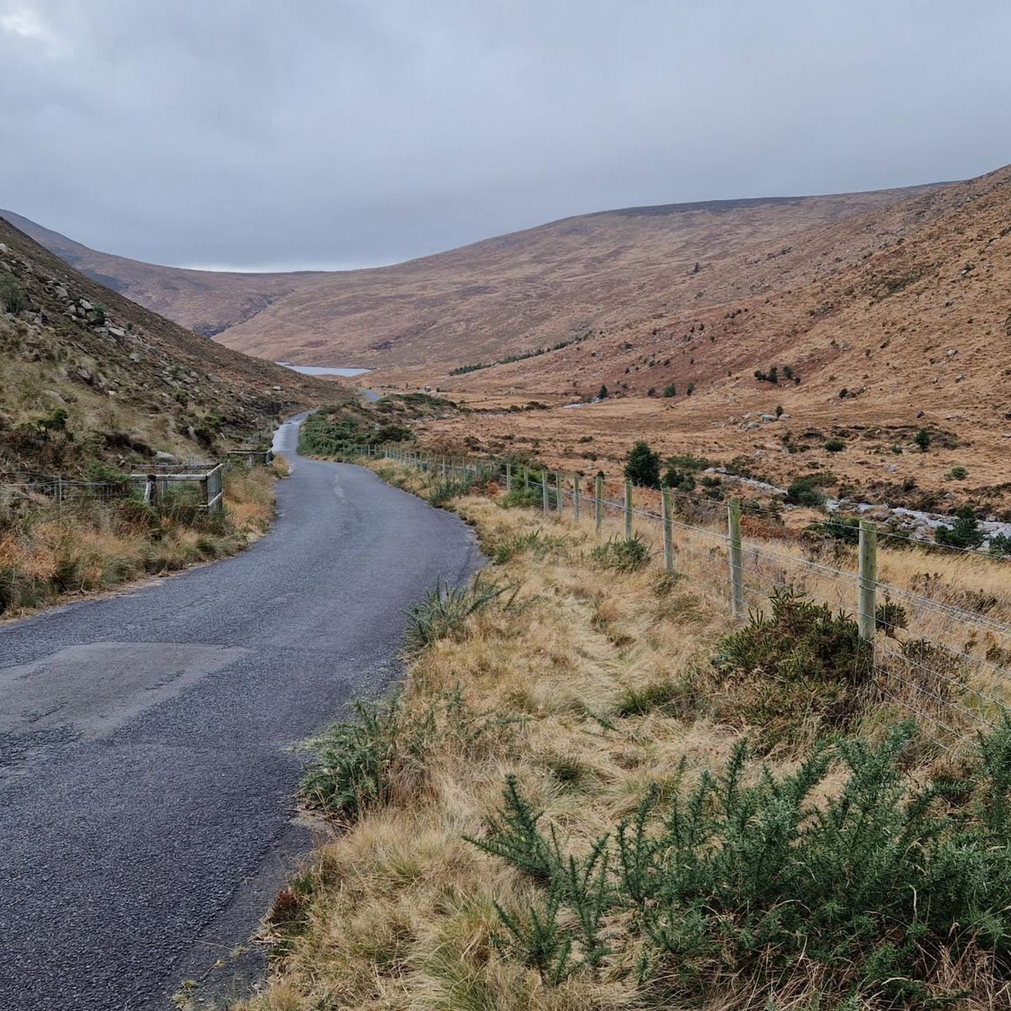
Hiking around Glenloughan Upper provides access to the dramatic landscapes of the Mourne Mountains, an Area of Outstanding Natural Beauty. The region is characterized by a network of paths and tracks, ranging from moderate climbs to more strenuous ascents. Scenic Carlingford Lough forms a backdrop to many routes, while local forests and woodlands offer diverse hiking environments.
Best hiking trails around Glenloughan Upper
- The most popular hiking route is Slieve Doan via Lough Shanna — Mourne, a 10.1 miles…
Last updated: May 15, 2026
4.7
(6)
45
hikers
16.2km
04:41
400m
400m
Moderate hike. Good fitness required. Easily-accessible paths. Suitable for all skill levels.
4.9
(8)
86
hikers
10.5km
02:57
220m
220m
Moderate hike. Good fitness required. Easily-accessible paths. Suitable for all skill levels.

Sign up for free
4.9
(16)
82
hikers
7.29km
01:56
70m
70m
Easy hike. Great for any fitness level. Easily-accessible paths. Suitable for all skill levels.
5.0
(1)
39
hikers
2.58km
00:46
80m
80m
Easy hike. Great for any fitness level. Easily-accessible paths. Suitable for all skill levels.
4.7
(3)
28
hikers
12.4km
04:00
530m
530m
Moderate hike. Good fitness required. Easily-accessible paths. Suitable for all skill levels.
Get access to more routes and recommendations from other explorers.
Sign up for free
Already have an account?
Our route recommendations are based on thousands of hikes, rides, and runs completed by other people on komoot.
Start today with a free account
Your next adventure awaits.
Login or Signup




Tips from the Community

loads of stone walls The Mourne Wall is 22 miles long and consists of natural granite stone, It was built from 1904 to 1922
0
0

A wooden stile/ladder crossing the wall
3
0


The hike to the Cloghmór Stone feels like a journey through time. Over 10,000 years ago, the ice brought this massive granite block from Scotland here, and now, weighing an estimated 50 tons, it towers majestically over the landscape. But it's not just the geology that's fascinating - according to legend, it was the giant Finn McCool who threw this enormous stone over Carlingford Lough. To be honest, the legend is a much more exciting explanation, isn't it? Once you've reached the top, you'll not only be greeted by the imposing boulder, but also by a fantastic view of Carlingford Lough and the surrounding hills. It's the perfect place to pause for a moment, take in the vastness and enjoy the peace that this place exudes.
0
0

A beautiful round stone, there is a legend about it but unfortunately we could not find out
0
0
View of the valley and the surrounding mountains
0
0

Not a particularly high mountain but possibly the best 360 degree view in the Mournes!
0
0
Frequently Asked Questions
What kind of hiking terrain can I expect around Glenloughan Upper?
The region around Glenloughan Upper offers diverse hiking terrain, primarily characterized by the dramatic landscapes of the Mourne Mountains. You'll find a network of paths and tracks ranging from moderate climbs to strenuous ascents on peaks like Slieve Donard. There are also enchanting forests, such as those in Kilbroney Park, and scenic routes along Carlingford Lough, providing varied environments from serene strolls to challenging mountain trails.
Are there any easy hiking trails suitable for beginners or casual walkers?
Yes, there are several easy options. For a gentle forest walk with a notable landmark, consider the Cloughmore Stone – View of Carlingford Lough loop from Killowen, which is about 2.6 km. Another easy route is the Cows in Mourne AONB – Stone Bridge in Mourne AONB loop from Kilkeel, covering about 7.3 km through the Area of Outstanding Natural Beauty.
What are some notable landmarks or scenic viewpoints to look out for on the trails?
The area is rich in natural landmarks and viewpoints. The iconic Cloughmore Stone in Kilbroney Park offers stunning panoramic views of Carlingford Lough and the Mourne Mountains. The Slieve Foye Summit on the Cooley Peninsula also provides excellent vistas of the Mournes. Additionally, the Silent Valley Reservoir within the Mourne Mountains offers peaceful views and impressive sights of the Mourne Wall.
Are there any family-friendly hiking options in the area?
Kilbroney Park, near Rostrevor, is an excellent choice for families. It offers various hiking trails through lush forests, which are said to have inspired C.S. Lewis's 'Chronicles of Narnia.' The park provides diverse environments suitable for different ages and abilities, including the path to the Cloughmore Stone.
Can I bring my dog on the hiking trails around Glenloughan Upper?
Many trails in the Mourne Mountains and surrounding areas are dog-friendly, but it's always recommended to keep dogs on a lead, especially in areas with livestock or protected wildlife. Kilbroney Park, for example, is generally welcoming to dogs. Always check local signage for specific restrictions on individual routes or within certain park areas.
How many hiking routes are available in Glenloughan Upper?
There are over 110 hiking routes available around Glenloughan Upper, catering to various skill levels. This includes approximately 40 easy routes, 50 moderate routes, and 20 difficult routes, ensuring options for everyone from casual walkers to experienced mountaineers.
What do other hikers enjoy most about the trails in Glenloughan Upper?
The hiking routes around Glenloughan Upper are highly rated by the komoot community, with an average score of 4.6 stars from over 300 reviews. Hikers often praise the dramatic mountain scenery of the Mournes, the stunning views over Carlingford Lough, and the varied environments offered by the forests and woodlands.
Are there any circular walks available?
Yes, many routes in the region are designed as circular walks. An example is the Start of Mourne Way Trail – Sandy beach at Lough Shanna loop from Attical, which is a moderate 10.4 km path. Another is the Eagle Mountain loop from Attical, a moderate 12.4 km trail offering significant elevation.
What are the options for parking or public transport access to the trailheads?
While specific public transport options vary, many trailheads in the Mourne Mountains and Kilbroney Park areas have dedicated parking facilities. For example, Kilbroney Park offers ample parking for visitors accessing the Cloughmore Stone trail. It's advisable to research specific trailhead access and parking availability for your chosen route in advance, as public transport can be limited in some of the more remote mountain areas.
Are there any challenging or long-distance hikes for experienced hikers?
Absolutely. The Mourne Mountains offer numerous challenging routes. For a significant ascent and distance, consider the Slieve Doan via Lough Shanna — Mourne, a moderate-to-difficult 16.2 km trail with substantial elevation gain. The region also provides access to parts of the Mourne Wall, which involves strenuous, long-distance hiking across multiple peaks.
What is the best time of year to go hiking in Glenloughan Upper?
The best time to hike around Glenloughan Upper is generally during the spring, summer, and early autumn months (April to October) when the weather is milder and daylight hours are longer. During these periods, you'll experience the full beauty of the landscapes. Winter hiking is possible but requires appropriate gear and experience due to potentially harsh conditions, including boggy terrain and strong winds, especially at higher elevations.
Most popular attractions around Glenloughan Upper

Get inspired with the komoot mobile app


Explore more
Browse the best Hikes in other regions.
