The best walks and hikes around Moneydorragh More Upper
4.5
(1285)
10,244
hikers
20
hikes
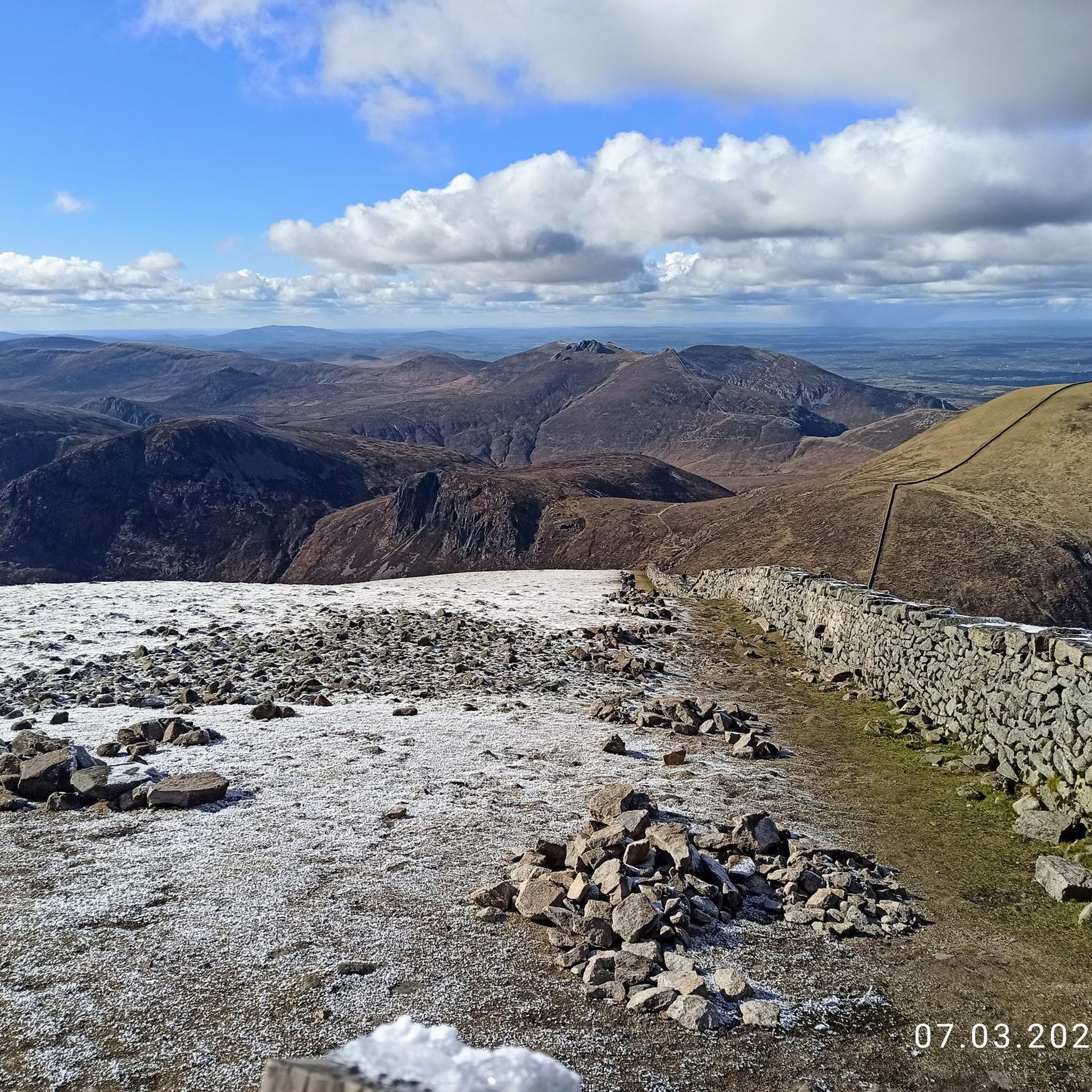
Hiking around Moneydorragh More Upper provides direct access to the eastern Mourne Mountains, an Area of Outstanding Natural Beauty in County Down, Northern Ireland. The region is characterized by dramatic mountain ranges, including prominent peaks like Slieve Binnian, and features diverse terrain from rocky ascents to picturesque valleys and forests. Hikers can explore a network of paths that traverse varied landscapes, offering views of iconic landmarks such as the Mourne Wall and the Silent Valley Reservoir.
Best hiking trails around…
Last updated: July 7, 2026
5.0
(23)
150
hikers
14.9km
04:56
600m
600m
Embark on a difficult hike along The Devil's Coach Road via Cove Mountain, a challenging route spanning 9.3 miles (14.9 km) with an elevation gain of 1976 feet (602 metres),…
4.9
(16)
176
hikers
8.06km
02:17
180m
180m
Embark on a moderate hiking adventure to Blue Lough from Carrick Little, a route that spans 5.0 miles (8.1 km) and involves a total elevation gain of 599 feet (183…

Sign up for free
4.7
(7)
32
hikers
19.4km
07:19
1,300m
1,300m
This difficult 12.0-mile (19.4 km) loop through the Mourne Mountains takes you over Slieve Binnian, Slieve Lamagan, and Slieve Donard, requiring about 7 hours and 18 minutes to complete. You…
4.7
(118)
797
hikers
Moderate hike. Good fitness required. Easily-accessible paths. Suitable for all skill levels.
5.0
(5)
87
hikers
27.7km
10:40
1,860m
1,860m
Hard hike. Very good fitness required. Easily-accessible paths. Suitable for all skill levels.
Get access to more routes and recommendations from other explorers.
Sign up for free
Already have an account?
Our route recommendations are based on thousands of hikes, rides, and runs completed by other people on komoot.
Start today with a free account
Your next adventure awaits.
Login or Signup
Other adventures around Moneydorragh More Upper

Tips from the Community

Slieve Binnian is absolute magic. Standing as the third-highest peak in Northern Ireland (747 meters), it easily claims the title for the most dramatic silhouette in the Mournes, thanks to the massive, weathered granite towers—called tors—that guard its summit. https://www.expresstollpass.com
0
0

Hare's Gap is a dramatic mountain pass nestled in the heart of the Mourne Mountains. This striking pass, situated between Slieve Bearnagh and Slievenaglogh, offers hikers a blend of natural beauty and historical intrigue. From this vantage point, hikers are treated to panoramic views of the surrounding peaks and valleys. The pass itself is historically significant, having once served as a route for smuggling goods across the mountains, adding a layer of intrigue to the hike. Hare's Gap is a popular starting point for various hikes, including ascents of Slieve Bearnagh and Slieve Meelmore.
2
0
Starting from Carrick Little Car Park, the hiking path to Slieve Binnian offers a rewarding journey through the heart of the Mourne Mountains. This moderate to challenging loop, approximately 11.2 km in length, follows the Mourne Wall, a historic dry-stone structure built in the early 1900s, guiding hikers toward the summit of Slieve Binnian (747 m). The ascent is steady, with a mix of rocky terrain and scenic views. As you approach the summit, the path becomes more rugged, leading to the iconic South and North Tors. From the summit, panoramic vistas unfold, offering breathtaking views of the Silent Valley and the surrounding peaks.
1
0
Hare’s Gap is one of the most iconic passes in the Mourne Mountains, marked by its rugged stile and dramatic views that open up across the range. Once a historic smuggling route, it remains a natural gateway into the high Mournes, with steep paths and striking rock formations framing the way. From here, the landscape unfolds in every direction, making it a perfect spot to pause, take in the scenery, and appreciate the wild beauty of these mountains.
4
0

I was lucky to see them at their best today, beautiful 😍
0
0

Not recommended for taking the dog , way to steep and could cause injury to paw’s .
0
0

Frequently Asked Questions
How many hiking trails are available around Moneydorragh More Upper?
There are over 20 hiking trails in the Moneydorragh More Upper area, offering a diverse range of experiences within the Mourne Mountains. These routes vary in difficulty, from moderate ascents to challenging mountain traverses, ensuring options for different fitness levels.
Are there easy hiking trails suitable for beginners in Moneydorragh More Upper?
Yes, while the region is known for its challenging mountain terrain, there are options for beginners. You'll find paths that are less demanding, including one easy route and nine moderate trails. These often lead through picturesque valleys and forests, providing a gentler introduction to the Mournes.
What kind of views can I expect on hikes around Moneydorragh More Upper?
Hiking around Moneydorragh More Upper offers spectacular panoramic views. From peaks like Slieve Binnian, you can see the Silent Valley Reservoir, Carlingford, the Isle of Man, and even the Wicklow Mountains on clear days. Trails also provide vistas of the iconic Mourne Wall and the dramatic granite landscape of the Mourne Mountains.
Are there any circular walks in the Moneydorragh More Upper area?
Yes, many popular routes in the area are circular. For example, the View of the Mourne Mountains – Slieve Binnian summit loop from Moneydorragh More Upper is a well-known circular trail that takes you to the summit of Slieve Binnian and back.
What are some notable landmarks or attractions I can see while hiking?
The Mourne Mountains themselves are a major attraction. Hikers can encounter the impressive Mourne Wall, a 35-kilometer dry-stone structure that crosses 15 summits. Other notable features include the picturesque Annalong Valley, the serene Blue Lough, and the dramatic rock outcrops on peaks like Slieve Binnian. You might also spot Slieve Bearnagh and the Summit of Slieve Donard in the distance.
Is Moneydorragh More Upper suitable for family-friendly hikes?
While many trails are challenging, there are family-friendly options, particularly those that explore the Annalong Valley and Annalong Forest. These areas offer more accessible paths through lush greenery alongside the Annalong River, providing a gentler experience for families.
What is the best time of year to go hiking in the Mourne Mountains?
The Mourne Mountains offer hiking opportunities year-round, but spring and autumn often provide the most pleasant conditions with cooler temperatures and vibrant scenery. Summer can be beautiful but also busier. Winter hiking is possible for experienced individuals, but requires appropriate gear and caution due to potentially challenging weather and terrain.
Are there any dog-friendly trails around Moneydorragh More Upper?
Many trails in the Mourne Mountains are suitable for dogs, provided they are kept under control, especially near livestock. It's always recommended to keep dogs on a lead and to check specific trail regulations or local signage before heading out, as some areas might have restrictions during certain seasons or for conservation purposes.
Where can I find parking for hiking trails in Moneydorragh More Upper?
Many popular trailheads, such as those leading to Slieve Binnian or the Annalong Valley, have designated parking areas. The Carrick Little Car Park is a common starting point for routes like the Blue Lough from Carrick Little, and is situated conveniently near Moneydorragh More Upper.
What do other hikers enjoy most about hiking in Moneydorragh More Upper?
The area is highly rated by the komoot community, with an average score of 4.4 stars from over 500 reviews. Reviewers often praise the dramatic mountain scenery, the sense of adventure on challenging routes, and the rewarding panoramic views from the summits. The diverse terrain, from rocky peaks to serene valleys, is also frequently highlighted.
Are there any particularly challenging routes for experienced hikers?
Yes, for experienced hikers seeking a challenge, the region offers demanding routes. The The Devil's Coach Road via Cove Mountain — Mourne is known for its challenging granite terrain, requiring sure-footedness. Another difficult option is the Slieve Binnan, Slieve Lamagan & Slieve Donard loop — Mourne, which covers significant elevation gain across multiple peaks.
What amenities are available for hikers in nearby villages like Annalong or Kilkeel?
Nearby villages such as Annalong and Kilkeel offer essential amenities for hikers. You can find local shops for supplies, cafes for refreshments, and pubs for a post-hike meal. These villages also provide accommodation options for those looking to extend their stay in the area.
Most popular routes around Moneydorragh More Upper
Most popular attractions around Moneydorragh More Upper

Get inspired with the komoot mobile app


Explore more
Browse the best Hikes in other regions.
