The best running trails around Dietmannsried
4.6
(87)
1,124
runners
97
runs
Jogging around Dietmannsried offers diverse landscapes for outdoor activity. The region is characterized by the Iller River and its floodplains, providing varied terrain and scenic paths. Moor nature reserves, such as the one near Dietmannsried, offer unique natural environments for runners. Additionally, the surrounding Allgäu features rolling hills and forest paths, providing both physical challenges and rewarding views.
Best jogging routes around Dietmannsried
- The most popular jogging route is Neu-Kalden Ruins – View of the Illerschleife loop from Brandholz,…
Last updated: August 18, 2026
5.0
(5)
52
runners
10.9km
01:16
240m
250m
Moderate run. Good fitness required. Mostly paved surfaces. Suitable for all skill levels.
4.0
(1)
44
runners
4.03km
00:25
20m
20m
Easy run. Great for any fitness level. Mostly paved surfaces. Suitable for all skill levels.

Sign up for free
4.8
(4)
34
runners
Moderate run. Good fitness required. Mostly paved surfaces. Suitable for all skill levels.
32
runners
13.3km
01:24
140m
140m
Moderate run. Good fitness required. Mostly paved surfaces. Suitable for all skill levels.
24
runners
11.5km
01:14
120m
120m
Moderate run. Good fitness required. Mostly paved surfaces. Suitable for all skill levels.
Get access to more routes and recommendations from other explorers.
Sign up for free
Already have an account?
Our route recommendations are based on thousands of hikes, rides, and runs completed by other people on komoot.
Start today with a free account
Your next adventure awaits.
Login or Signup
Tips from the Community

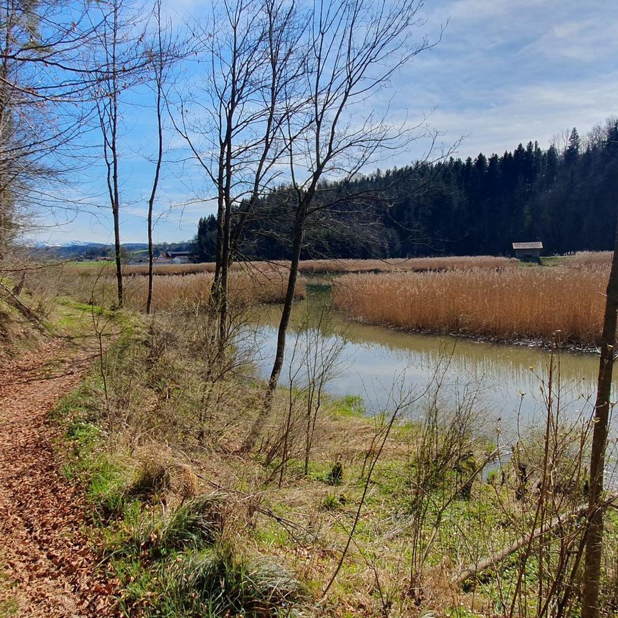
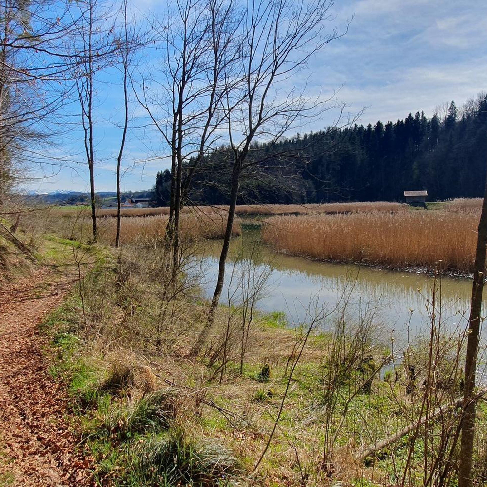
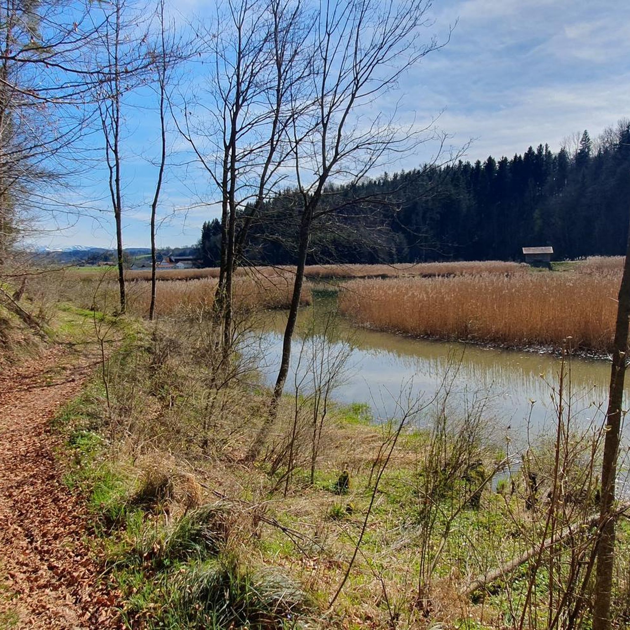
Very nice corner here in the Auenlandschaft on the Iller
0
0
The suspension bridge can already be spotted from the ruins of Kalden Castle.
0
0

Nice run or hiking trail to Dietmannsried.
0
0

Suspension bridge construction & observation tower
0
0

Ruins of a former castle with explanatory panels
2
0

The Iller is very beautiful for hiking in the Lower and Upper Allgäu with many great views. The northern part of the Iller is great for cycling. I have already hiked the entire Iller and am very enthusiastic about it.
0
0

Beautiful view back into the Illertal.
0
1

The blue suspension bridge over the Iller is really an eye-catcher and fits well into the landscape.
8
1
Frequently Asked Questions
What kind of running routes can I expect in Dietmannsried?
Dietmannsried offers a diverse landscape for runners, characterized by the scenic Iller River and its floodplains, unique moor nature reserves, and rolling Allgäu hills. You'll find a mix of paths along the river, through forests, and across open fields, providing varied terrain and picturesque scenery for all fitness levels.
How many jogging routes are there in the Dietmannsried area?
There are over 75 dedicated jogging routes around Dietmannsried listed on komoot. These routes cater to various preferences, from easy strolls to more challenging runs.
Are there any easy running paths suitable for beginners or a relaxed jog?
Yes, Dietmannsried has several easy running paths. For instance, the Sunny Morning loop from Dietmannsried is a gentle 2.5-mile (4.0 km) trail through open fields, perfect for a relaxed start. Another easy option is the Running loop from Gemeinderied, which is about 2.8 miles (4.4 km) long.
Can I find challenging running trails with elevation in Dietmannsried?
Absolutely. While many routes are moderate, some trails incorporate the rolling Allgäu hills, offering more significant elevation gains for a physical challenge. For example, the Neu-Kalden Ruins – View of the Illerschleife loop from Brandholz includes over 240 meters of elevation gain, providing a good workout with rewarding views.
Are there any running routes that pass by interesting landmarks or natural attractions?
Yes, many routes integrate local points of interest. The Neu-Kalden Ruins – View of the Illerschleife loop from Brandholz trail, for example, offers views of the Iller river loop and passes historical ruins. You might also encounter the modern Blue Suspension Bridge over the Iller on some routes, which is a notable landmark.
Are there any circular running trails in Dietmannsried?
Yes, many of the running routes in Dietmannsried are designed as loops, allowing you to start and finish in the same location. Popular circular options include the Allgäu – Moor Nature Reserve Boardwalk loop from Dietmannsried and the Sunny Morning loop from Dietmannsried.
What do other runners say about the trails in Dietmannsried?
The running routes in Dietmannsried are highly rated by the komoot community, with an average score of 4.4 stars from over 40 reviews. Many runners praise the varied terrain, the scenic beauty of the Iller floodplains, and the unique experience of running through the moor nature reserves.
Are there any running routes that go through unique natural environments like moorlands?
Definitely! Dietmannsried is known for its distinctive moor landscapes. The Allgäu – Moor Nature Reserve Boardwalk loop from Dietmannsried is a prime example, leading you through this unique natural reserve, often on boardwalks and paved surfaces, offering a special running experience.
Can I combine my run with other outdoor activities in Dietmannsried?
Yes, Dietmannsried is an excellent base for various outdoor pursuits. Beyond jogging, you can find opportunities for cycling, hiking, and even winter sports. For those looking to add strength training, there's also a public Calisthenics Park available, promoting physical activity in nature.
What are some natural sights I might encounter while running in Dietmannsried?
While running, you might come across beautiful natural features such as the Cliffs along the Iller, the serene Herrenwies Pond, or the unique Iller gravel bank. The region's diverse landscape ensures a scenic backdrop for your run.
Are there running routes suitable for families with children?
Many of the easier and moderate routes in Dietmannsried are suitable for families, especially those with well-maintained, mostly paved surfaces. The shorter loop options, like the Sunny Morning loop from Dietmannsried, are great for a family outing, offering gentle terrain and pleasant surroundings.
Most popular routes around Dietmannsried
Most popular attractions around Dietmannsried

Get inspired with the komoot mobile app


Explore more
Browse the best Running Trails & Routes in other regions.
