The best MTB trails around Dietmannsried
4.5
(167)
626
riders
84
rides
Mountain biking around Dietmannsried offers a variety of terrain, characterized by river valleys, tranquil lakes, and forested areas. The region features the Iller River, providing routes along its banks and through its gorge. Riders can expect a mix of gravel paths, forest trails, and open sections around bodies of water like the Sachsenrieder Weiher. The landscape includes gentle ascents and descents, suitable for different skill levels.
Best mountain bike trails around Dietmannsried
- The most popular mountain bike trail is Iller…
Last updated: September 29, 2026
5.0
(11)
35
riders
23.2km
01:35
220m
220m
Easy mountain bike ride. Great for any fitness level. Suitable for all skill levels.
4.6
(20)
71
riders
22.1km
01:29
260m
260m
Easy mountain bike ride. Great for any fitness level. Suitable for all skill levels.

3.9
(7)
36
riders
Moderate mountain bike ride. Good fitness required. Suitable for all skill levels.
4.2
(9)
19
riders
38.3km
02:38
430m
430m
Moderate mountain bike ride. Good fitness required. Suitable for all skill levels.
5.0
(7)
27
riders
42.2km
03:15
820m
820m
Moderate mountain bike ride. Good fitness required. Advanced riding skills necessary.
Get access to more routes and recommendations from other explorers.
Already have an account?
Our route recommendations are based on thousands of hikes, rides, and runs completed by other people on komoot.
Start today with a free account
Your next adventure awaits.
Tips from the Community

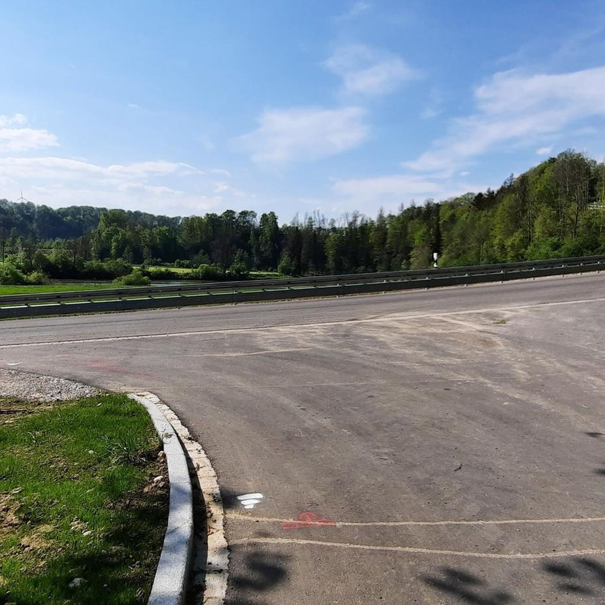
I live in Kempten and have already been here in both directions. The path has its charms, but I have nevertheless removed it from my list. In rainy weather, the path is terrible because it washes away the gravel and creates gullies that are difficult to ride with a bike. The sign that you should dismount is something everyone has to decide for themselves; today it was slippery but rideable and I did as Haibike-3 did. I cycled on. However, the concrete slabs and the curve before the bridge were annoying. The route is actually too narrow for oncoming traffic, which is why I let the uphill cyclists pass. For me, the whole thing is too strenuous with a bike.
0
0

The Gerichtslinde (court lime tree) is not located in Waizenkirchen, but in Reicholzried in the Allgäu.
0
0

Currently quite a mud bath on the path, but a bit higher up it's okay.
1
0

quiet region - access to the Kempten Forest - nice playground if you walk under the B12...
0
0

Really great views of the landscape! Especially nice if the weather is clear and you can see far into the distance.
0
0

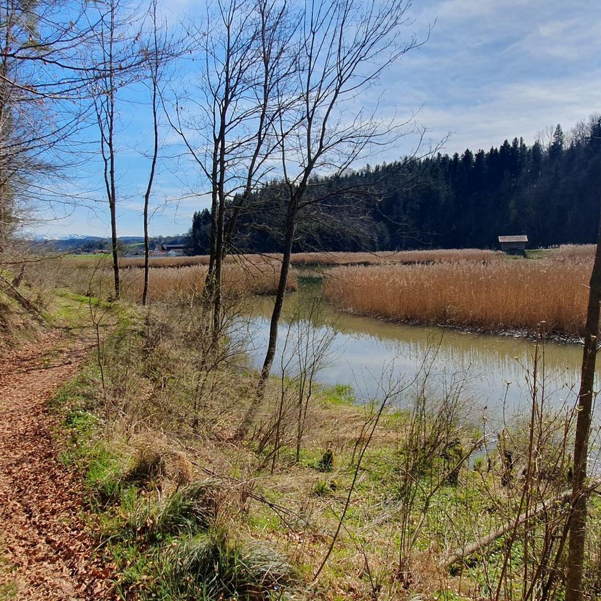
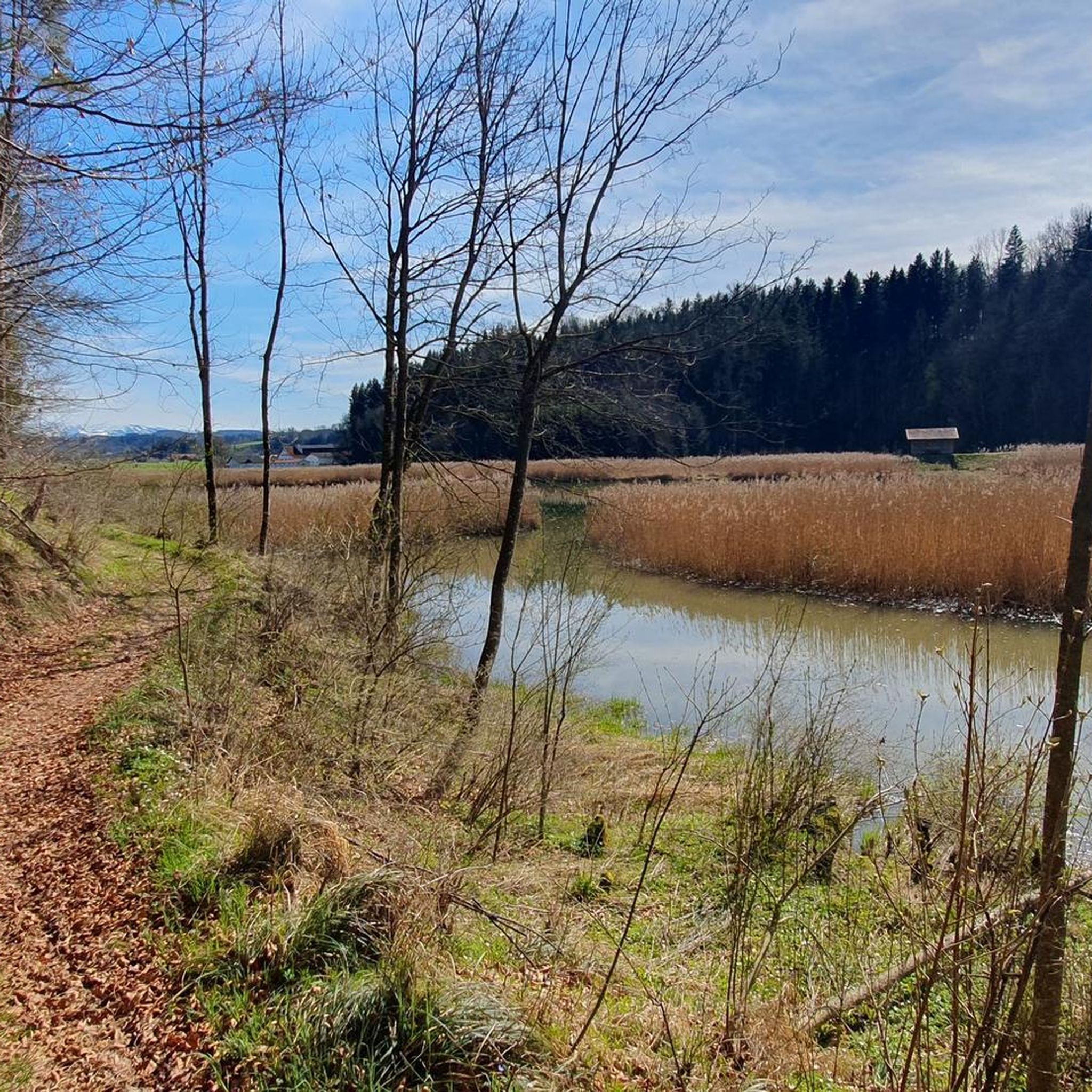
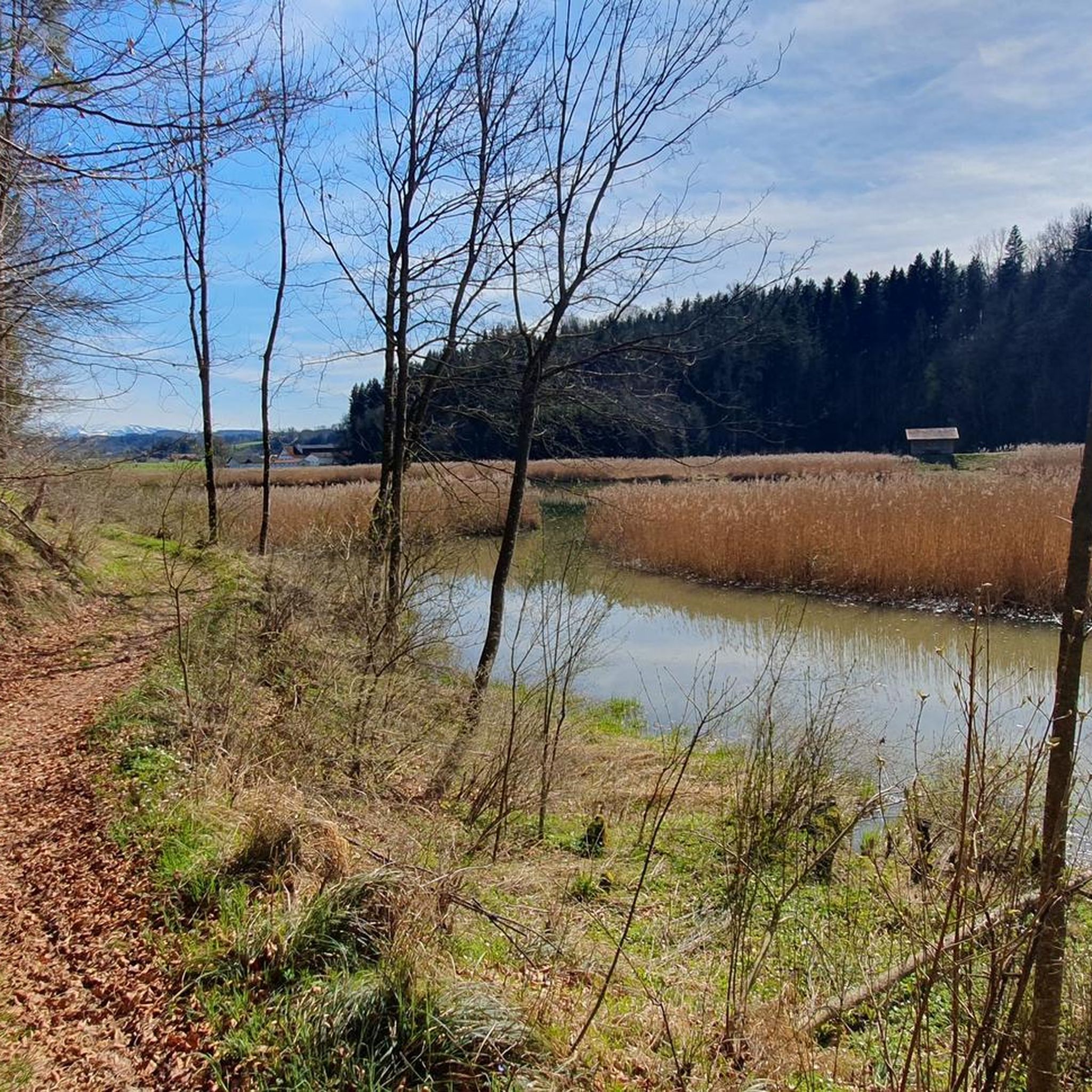
An ideal place for a break, a picnic, or simply to cool your feet or take a bath...
0
0


Ottobeuren Market Square / Market Chronicle Probably none of the visitors who stay in Ottobeuren today, for a shorter or longer period of time, can imagine how this approximately 1,500-year-old, historic town was founded. When visitors arrive in Ottobeuren from all directions by private car, taxi, or bus, their first gaze is usually drawn to the mighty basilica with its monastery buildings. No one considers that the very ground they have just set foot on was once impassable terrain, moorland, swamp, and densely wooded area. Nevertheless, a man had dared to gain a foothold here, clear the forest, and establish a human settlement. What Stone Age hunters and fishers had failed to achieve much earlier—namely, to settle here—had become the life's work of a man named Uot. At the site where the market square stands today, the first giant trees soon collapsed under the axe blows of the Uot farmers. Huts were built from rough beams, livestock was raised, and fields were cultivated. Only a few huts in the middle of the forest housed the Uot clan. Uot, the Swabian, founded Ottobeuren in the 5th century. Text / Source: Ottobeuren Tourist Office, Marktplatz 14, Ottobeuren https://www.ottobeuren.de/de/marktgemeinde/rathaus/markt-chronik.php
14
0
Frequently Asked Questions
How many mountain bike trails are available around Dietmannsried?
There are over 80 mountain bike trails around Dietmannsried, offering a wide range of options for different skill levels. This includes 25 easy, 51 moderate, and 9 difficult routes.
Are there easy mountain bike trails suitable for beginners in Dietmannsried?
Yes, Dietmannsried offers 25 easy mountain bike trails. A great option for a relaxed ride is the Sachsenrieder Weiher – Sachsenrieder Weiher loop from Dietmannsried, which is 14.6 miles (23.5 km) long and circles the tranquil Sachsenrieder Weiher. Another easy route is the Sachsenrieder Weiher – Path to the Iller Bridge loop from Dietmannsried, covering 13.7 miles (22.0 km).
Where can I find more challenging mountain bike routes near Dietmannsried?
For those seeking a challenge, there are 9 difficult mountain bike routes around Dietmannsried. These trails often feature more significant elevation changes and technical sections, providing a demanding experience for experienced riders.
What is the typical length of mountain bike trails around Dietmannsried?
The mountain bike trails around Dietmannsried vary significantly in length. For example, the popular Iller Gorge – Iller gravel bank loop from Dietmannsried is 23.0 miles (36.9 km), while the Sachsenrieder Weiher – Sachsenrieder Weiher loop from Dietmannsried is 14.6 miles (23.5 km). Many routes fall within the 10-30 mile range.
Are there any loop mountain bike trails in Dietmannsried?
Yes, many mountain bike trails in Dietmannsried are designed as loops, allowing you to start and finish at the same point. Examples include the View from Probstrieder Hörnle – Shaded forest gravel path loop from Dietmannsried and the Wolkenberg Root Trail – Wolkenberg Castle Ruins loop from Dietmannsried.
What kind of terrain can I expect on mountain bike trails in Dietmannsried?
The terrain around Dietmannsried is diverse, characterized by river valleys, tranquil lakes, and forested areas. Riders can expect a mix of gravel paths, forest trails, and open sections, particularly along the Iller River and around bodies of water like the Sachsenrieder Weiher.
What do other mountain bikers enjoy most about the trails in Dietmannsried?
The area is highly rated by the komoot community, with an average score of 4.7 stars from over 170 reviews. Reviewers often praise the varied terrain, the scenic views along the Iller River, and the well-maintained paths that cater to different skill levels.
Are there scenic viewpoints or natural attractions along the mountain bike routes?
Yes, the trails often pass by beautiful natural attractions. You can find scenic spots like the Cliffs along the Iller, the Iller gravel bank, and the tranquil Herrenwies Pond. The Iller River itself offers many picturesque sections.
What are some interesting landmarks or places to explore near the trails?
Beyond natural beauty, you can encounter interesting landmarks. The Blue Suspension Bridge over the Iller and the Suspension Bridge over the Iller near Altusried are notable. The historic Ottobeuren Market Square and Basilica are also within reach for a cultural stop.
What is the best time of year for mountain biking in Dietmannsried?
The region is generally best for mountain biking from spring through autumn when the weather is mild and trails are dry. While some trails may be accessible in winter, conditions can be challenging due to snow or ice, especially in forested areas or along riverbanks.
Are there options for less crowded mountain bike trails in Dietmannsried?
While popular routes like the Iller Gorge can see more visitors, the extensive network of over 80 trails means it's often possible to find quieter paths, especially on weekdays or by exploring some of the less-trafficked forest routes away from the main river and lake areas.
Most popular routes around Dietmannsried
Most popular attractions around Dietmannsried

Get inspired with the komoot mobile app


Explore more
Browse the best MTB trails in other regions.
