The best mountain hikes around Röthenbach (Allgäu)
4.5
(18)
171
hikers
13
hikes
Mountaineering routes around Röthenbach (Allgäu) offer access to the diverse landscapes of the Westallgäu and the nearby Allgäu Alps. The region is characterized by rolling green hills, lush meadows, and significant natural features like the Eistobel Gorge with its impressive waterfalls and rock formations. While Röthenbach itself provides varied terrain for outdoor activities, its strategic location allows for access to more challenging alpine ascents and via ferratas within the broader Allgäu Alps.
Best mountaineering routes around Röthenbach (Allgäu)
- The most…
Last updated: October 5, 2026
17
hikers
13.1km
04:06
420m
430m
Moderate mountaineering route. Good fitness required. Mostly accessible paths. Sure-footedness required.
15
hikers
9.36km
03:07
390m
390m
Moderate mountaineering route. Good fitness required. Mostly accessible paths. Sure-footedness required.

5.0
(1)
9
hikers
12.3km
03:47
390m
390m
Moderate mountaineering route. Good fitness required. Mostly accessible paths. Sure-footedness required.
4
hikers
15.5km
04:43
510m
510m
Moderate mountaineering route. Good fitness required. Easily-accessible paths. Suitable for all skill levels.
2
hikers
22.0km
07:55
1,020m
1,020m
Hard mountaineering route. Very good fitness required. Mostly accessible paths. Sure-footedness required.
Get access to more routes and recommendations from other explorers.
Already have an account?
Our route recommendations are based on thousands of hikes, rides, and runs completed by other people on komoot.
Start today with a free account
Your next adventure awaits.
Popular around Röthenbach (Allgäu)
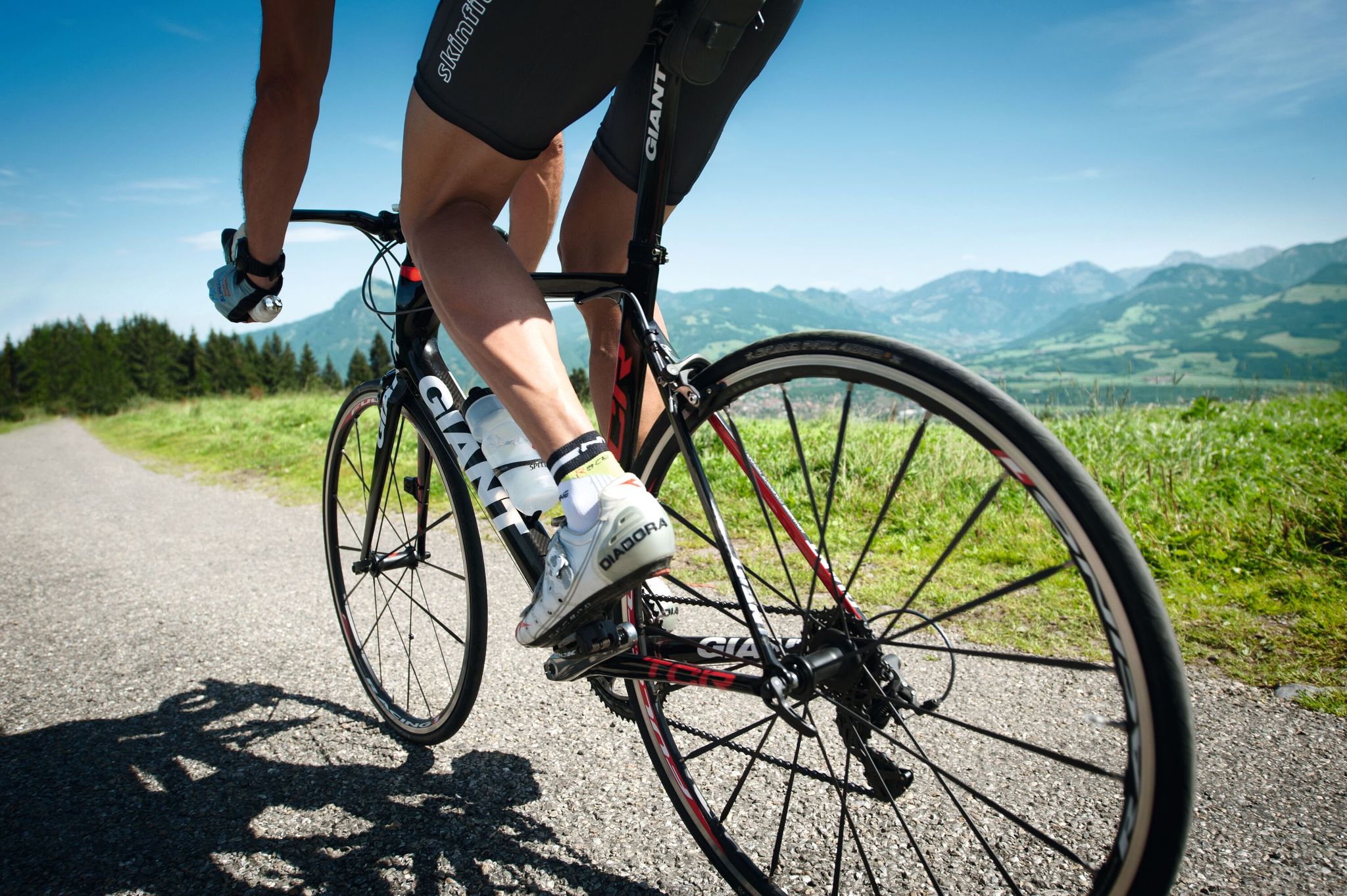
Discover the most beautiful road bike Tours in Allgäu
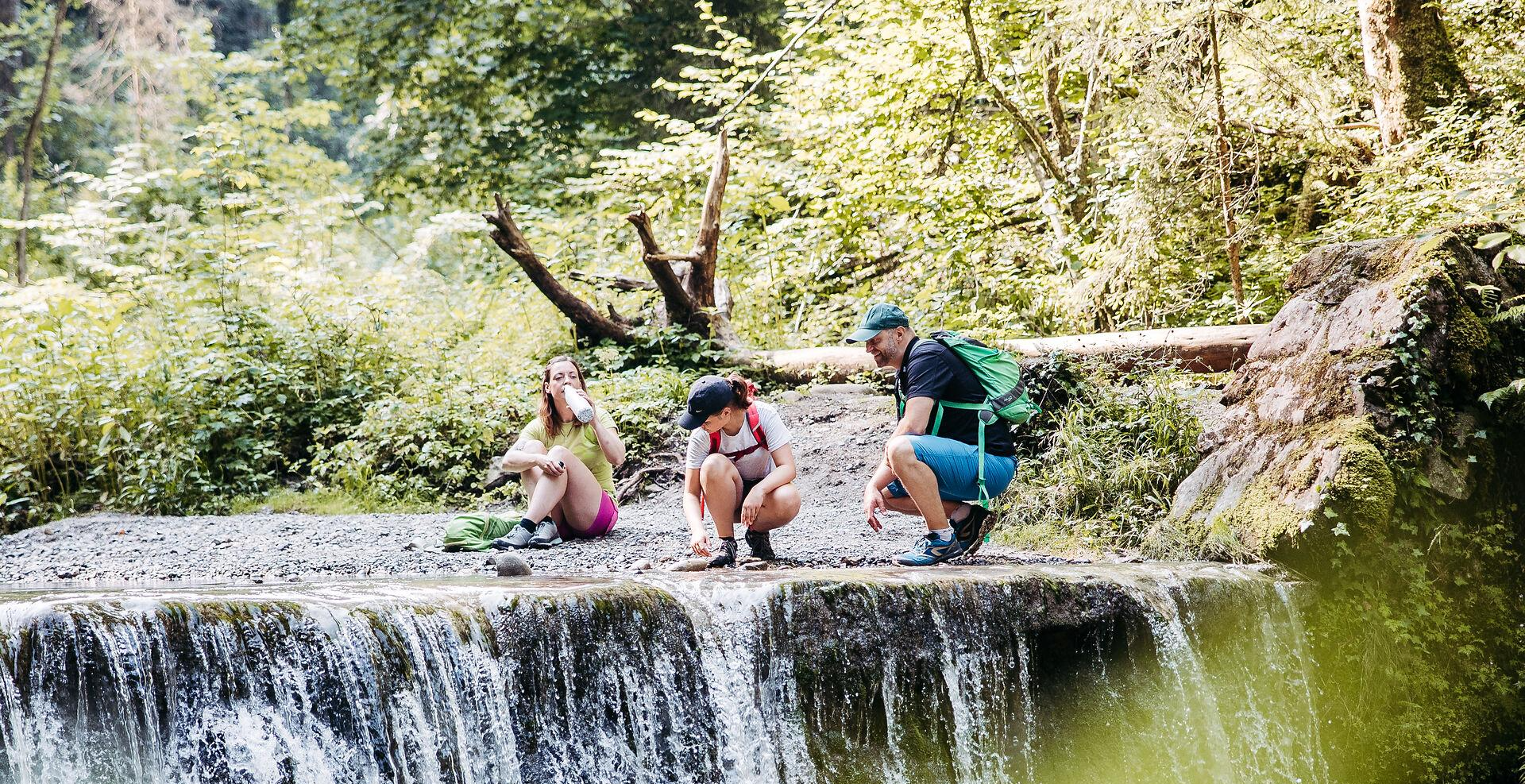
Westallgäuer Wasserwege
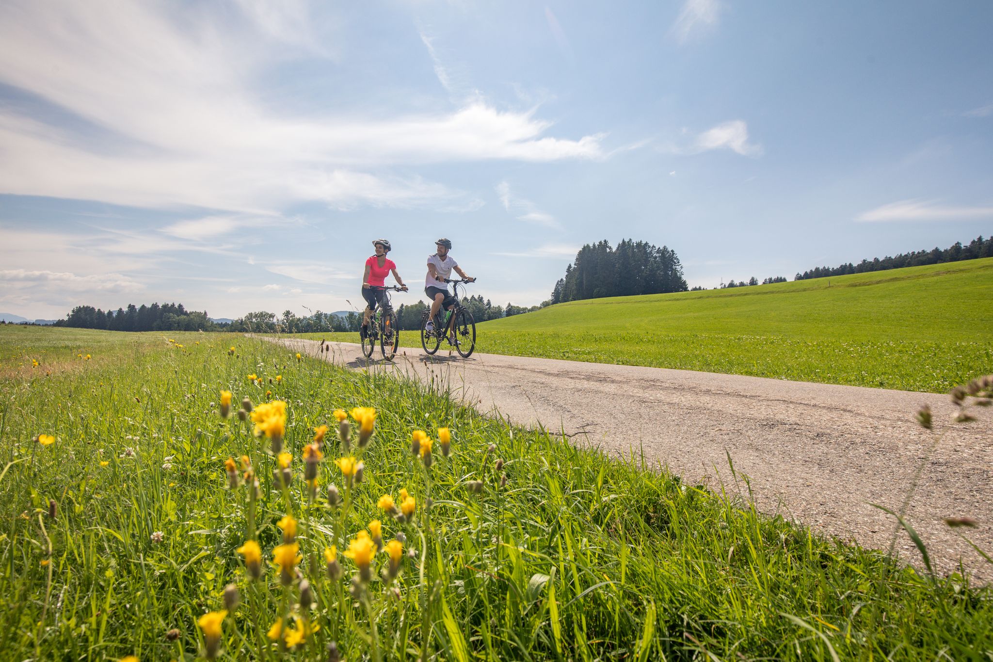
Traumhaftes Westallgäu – Erkunde mit dem Rad den Südwesten Bayerns
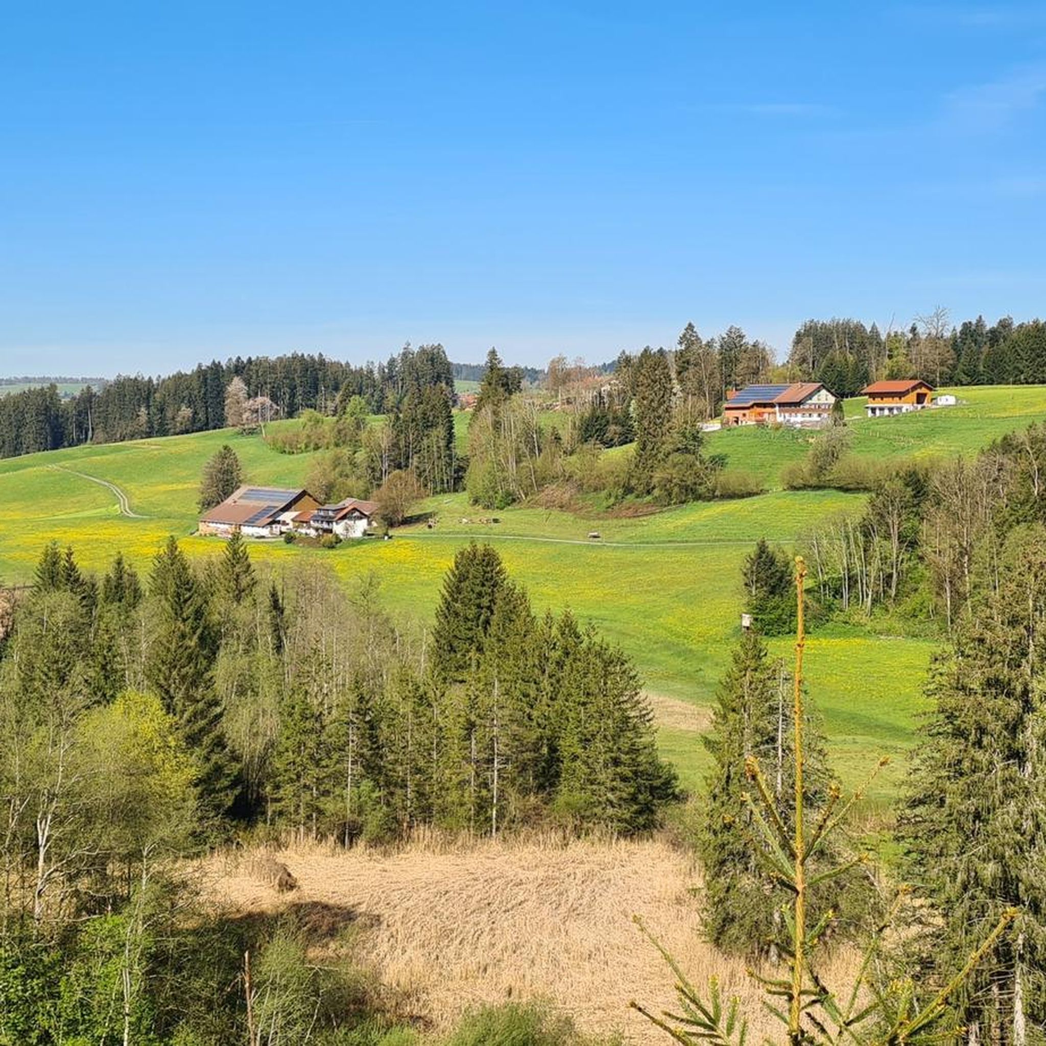
Cycling around Röthenbach (Allgäu)
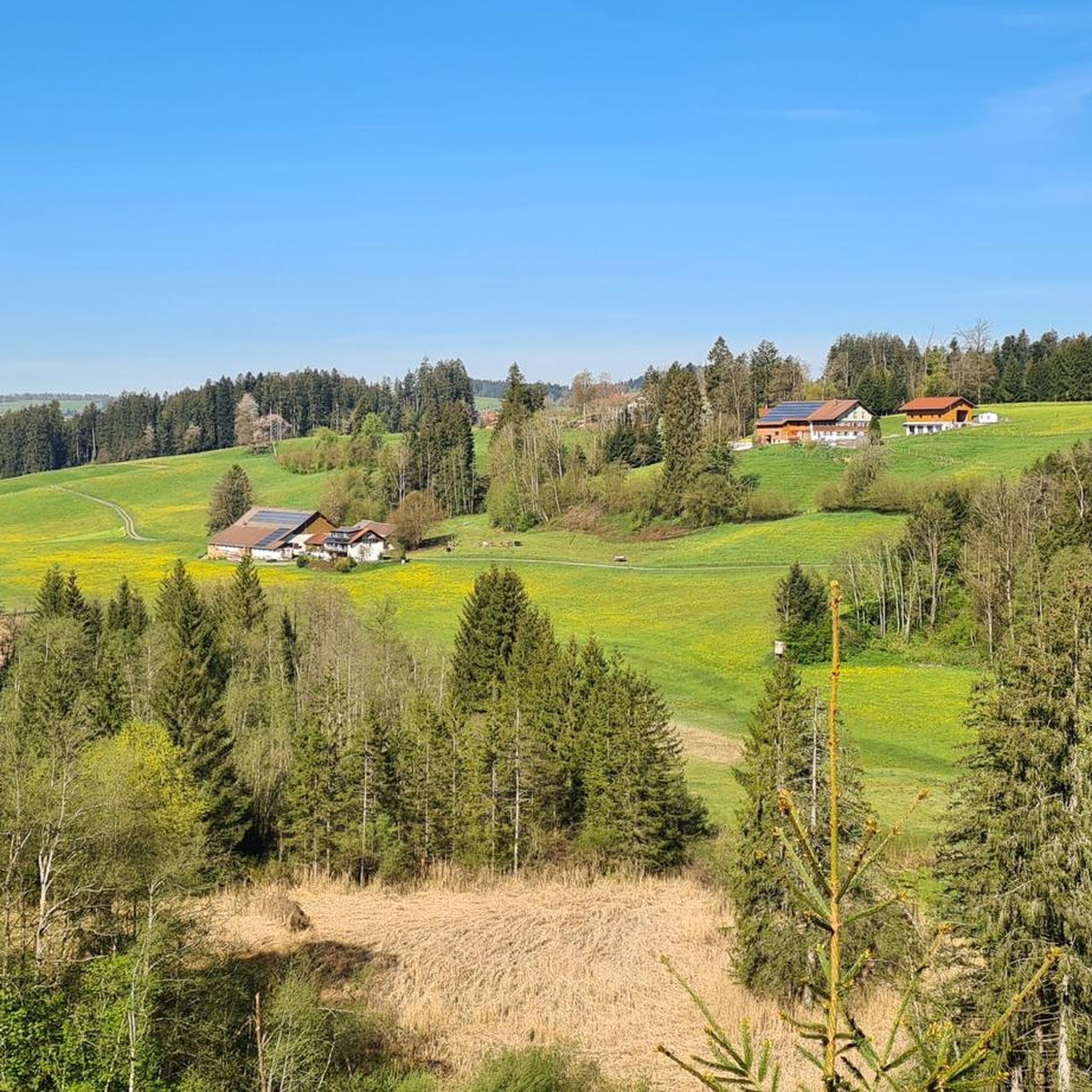
Road Cycling Routes around Röthenbach (Allgäu)
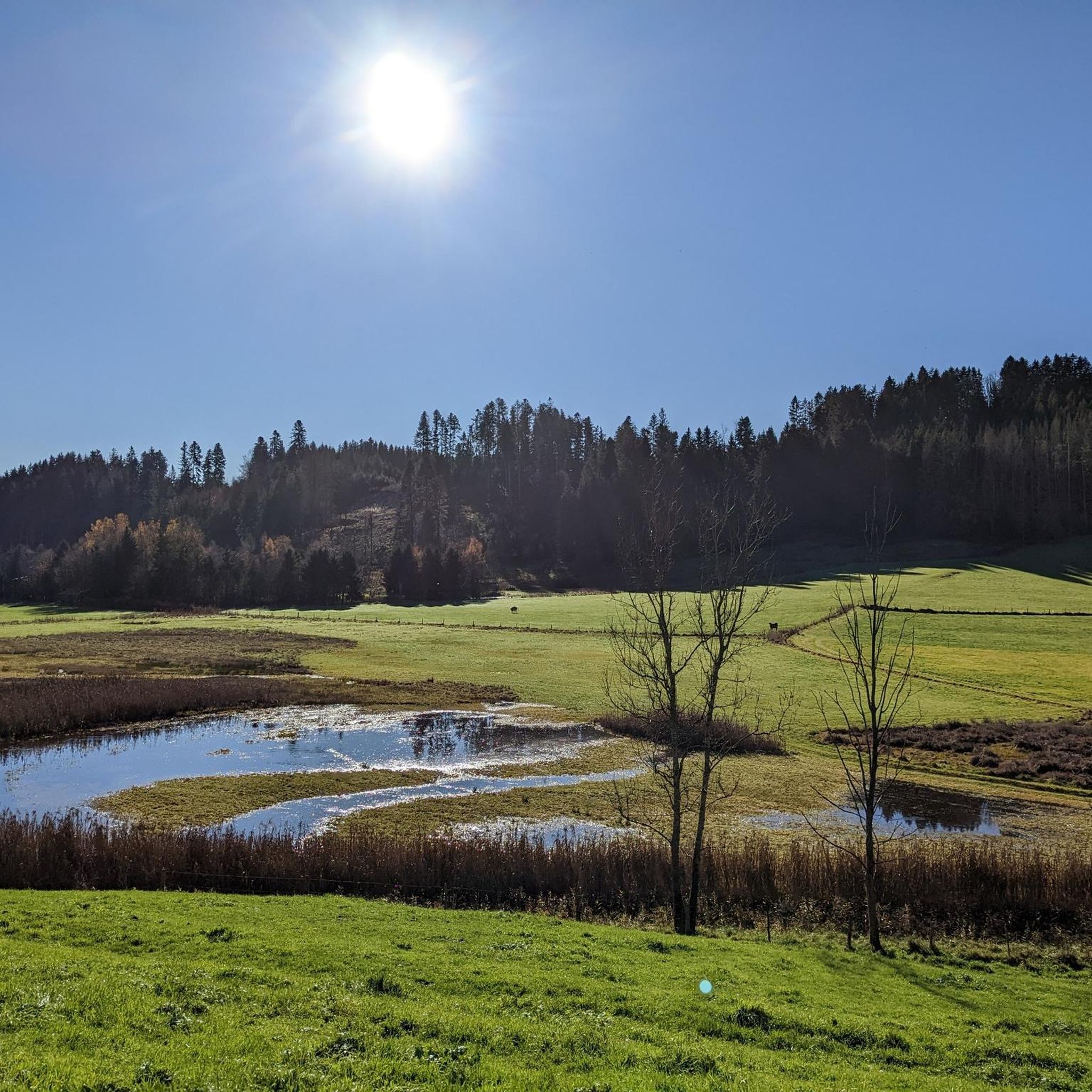
Hiking around Röthenbach (Allgäu)
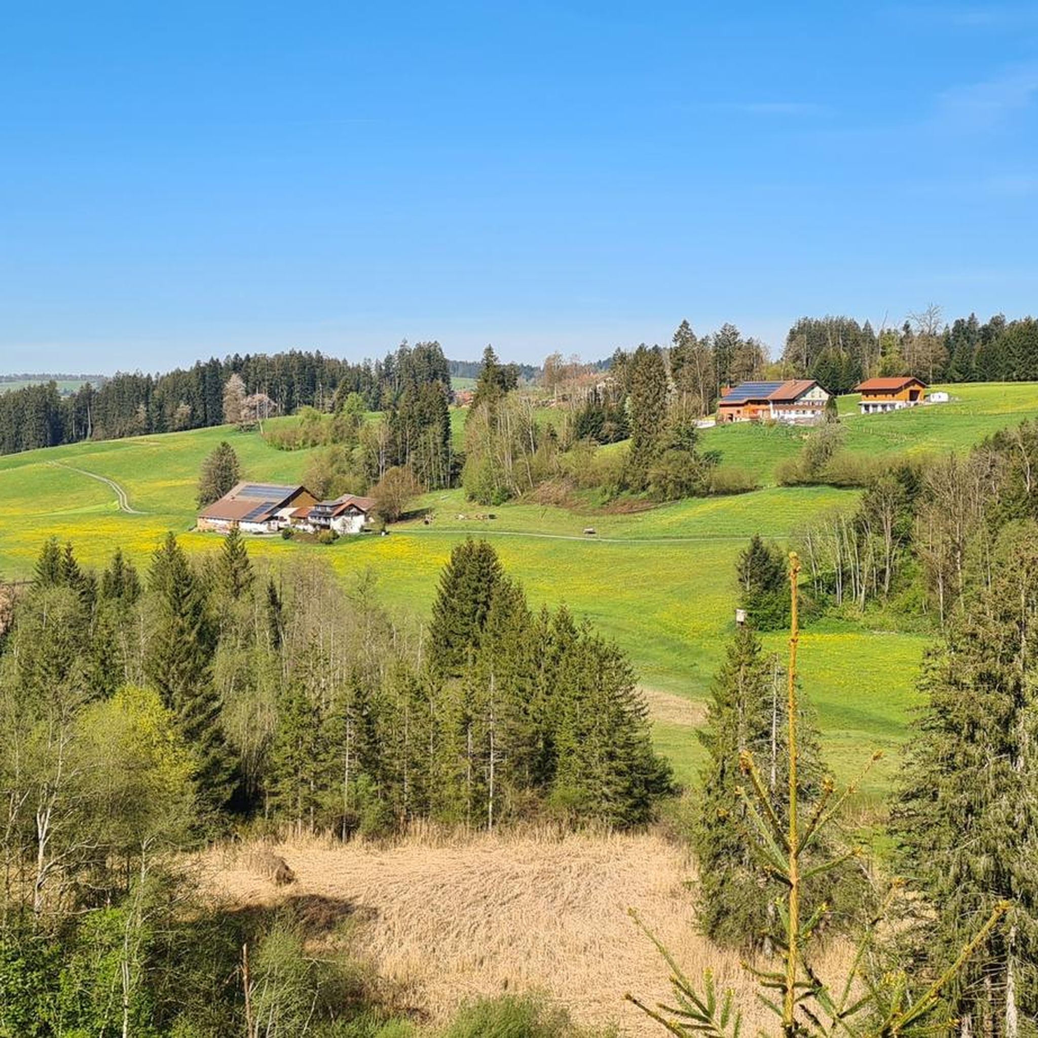
MTB Trails around Röthenbach (Allgäu)
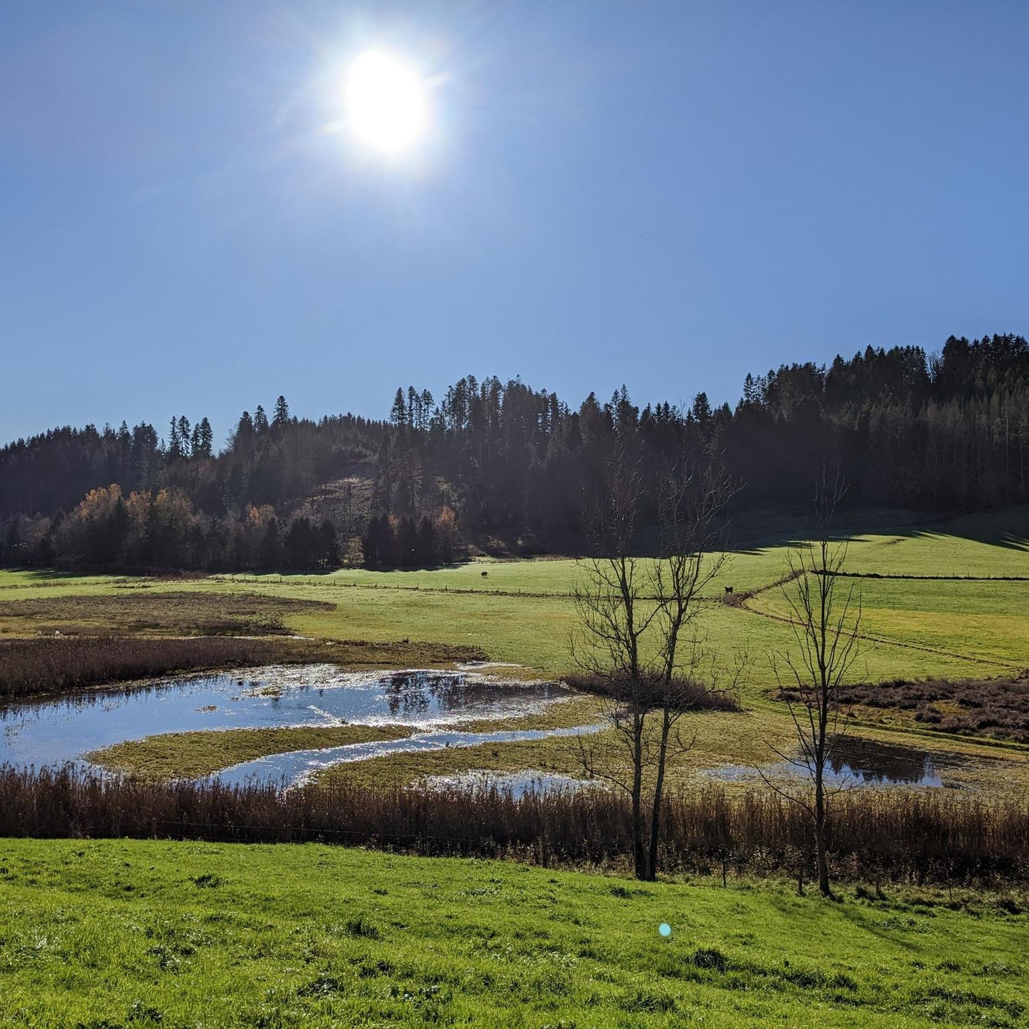
Running Trails around Röthenbach (Allgäu)

Gravel biking around Röthenbach (Allgäu)


Tips from the Community


Ideal on hot days to cool your feet a bit
0
0
Beautiful view of the mountains from here
0
0

Alp unfortunately no longer managed since 2025😞🤷♂️ "The alp is currently closed! As of 2025. As soon as information about a reopening or new operators is available, it will be added." https://share.google/DBFrc8vvw9TNBsgme
1
0

Alpe Neugreuth is located above Steibis, in the middle of the Allgäu landscape panorama. If you walk from Steibis to the Buchenegger waterfalls, it is worth stopping at the cozy guesthouse. Drinks, homemade cakes, and hearty snacks are available on the terrace. A special feature is the own herb garden, whose ingredients give the dishes a fine note.
1
1
At 1,427 meters, the Denneberg is the highest elevation in the Prodel-Schichtkamm ridge. Its summit cross stands directly on a cliff edge. From here, the view extends far over the Konstanzer Valley. Ideal for pausing briefly and enjoying the beauty of the landscape.
1
0
From the Muttner Höhe, a fantastic pre-Alpine panorama over the Allgäu opens up to you. At 1,067 meters, your gaze wanders over the gentle hilly landscape with its lush green meadows and dark forest islands – the perfect place to let the fresh mountain air blow around your nose. A narrow ridge path connects the Muttner Höhe with the Kalzhofener Höhe.
1
0

Small chapel worth seeing near Seppls Gartenwirtschaft.
2
0
Frequently Asked Questions
What kind of mountaineering routes can I expect around Röthenbach (Allgäu)?
Röthenbach (Allgäu) offers a diverse range of mountaineering routes, from moderate ascents through green hills and lush meadows to more challenging alpine experiences in the nearby Allgäu Alps. You'll find paths exploring deep gorges, impressive waterfalls, and routes leading to panoramic viewpoints.
Are there any routes suitable for beginners or those looking for a less strenuous mountaineering experience?
Yes, there are several moderate routes available. For instance, the Eistobel Gorge – Large waterfall in the Eistobel loop from Maierhöfen is a popular moderate option, allowing you to explore the captivating Eistobel Gorge without extreme difficulty. Another good choice is the Eistobel Gorge – Large waterfall in the Eistobel loop from Grünenbach, which is also rated as moderate.
Where can I find routes with impressive waterfalls?
The region is known for its beautiful waterfalls. The Eistobel Gorge – Large waterfall in the Eistobel loop from Maierhöfen and the Eistobel Gorge – Large waterfall in the Eistobel loop from Grünenbach both take you through the Eistobel Gorge, which features several impressive cascades, including the Eistobel Waterfalls and the Upper Waterfall at the Eissteg. You can also explore the Buchenegger Waterfalls – Oberstaufen in the Allgäu loop from Oberstaufen route to discover more stunning water features.
Are there any challenging mountaineering routes for experienced climbers?
For those seeking a more demanding adventure, the Tarzan Bridge over the Weißach – View from Hündlekopf loop from Oberstaufen is a difficult 22.1 km route that offers extensive views and crosses the notable Tarzan Bridge. The broader Allgäu Alps, accessible from Röthenbach, also offer opportunities for rock climbing and via ferratas like the Friedberger Klettersteig.
What are some notable natural features or landmarks I can see along these routes?
Beyond the stunning Eistobel Gorge and its waterfalls, you can encounter various natural and historical points of interest. Highlights include the Eistobel Waterfalls, the Scheidegg Waterfalls, and the Small Waterfall at the Old Mill in Eistobel. For a touch of history, the Old Town of Isny im Allgäu and the Martinstor (Lindau Gate) in Wangen im Allgäu are also nearby.
Are there any circular mountaineering routes in the area?
Yes, many of the mountaineering routes around Röthenbach (Allgäu) are designed as loops, allowing you to start and end at the same point. Examples include the Eistobel Gorge – Large waterfall in the Eistobel loop from Maierhöfen, the Mößlangs Alpe – View from the summit of Salmaser Höhe loop from Oberstaufen, and the Tarzan Bridge over the Weißach – View from Hündlekopf loop from Oberstaufen.
What do other mountaineers say about the routes in Röthenbach (Allgäu)?
The mountaineering routes around Röthenbach (Allgäu) are highly regarded by the komoot community, with an average rating of 4.5 stars from over 19 reviews. Many users praise the varied terrain, the stunning natural beauty of the Eistobel Gorge, and the rewarding views from higher elevations.
Is Röthenbach (Allgäu) well-connected for accessing these mountaineering routes?
Yes, Röthenbach (Allgäu) is well-connected. The municipality has a railway station in the Oberhäuser district, which serves as a convenient hub for visitors looking to access the various outdoor activities and mountaineering routes in the region.
Can I find routes that lead to scenic viewpoints?
Absolutely. Many routes offer fantastic panoramic views. The Mößlangs Alpe – View from the summit of Salmaser Höhe loop from Oberstaufen, for example, leads you through alpine pastures to the summit of Salmaser Höhe, providing excellent vistas. Similarly, the Tarzan Bridge over the Weißach – View from Hündlekopf loop from Oberstaufen offers extensive views from Hündlekopf.
Are there options for multi-day mountaineering tours in the wider Allgäu Alps region?
While Röthenbach (Allgäu) itself offers excellent day routes, its strategic location provides access to the broader Allgäu Alps, which are renowned for more extensive alpine terrain. This region includes peaks like Rubihorn and Nebelhorn, along with numerous mountain huts of the Alpine Association (AVS), making it suitable for experienced hikers seeking multi-day tours and technical ascents.
What is the best time of year for mountaineering in Röthenbach (Allgäu)?
The region is generally enjoyable for outdoor activities from spring through autumn. The Eistobel Gorge, for instance, is particularly pleasant on hot days due to its shade and proximity to water. In winter, it transforms into a magical icy landscape, offering a unique experience for those prepared for cold weather conditions.
Most popular routes around Röthenbach (Allgäu)
Most popular attractions around Röthenbach (Allgäu)

Get inspired with the komoot mobile app


Explore more
Browse the best Mountain Hikes & Routes in other regions.
