The best walks and hikes around Röthenbach (Allgäu)
4.5
(496)
2,240
hikers
31
hikes
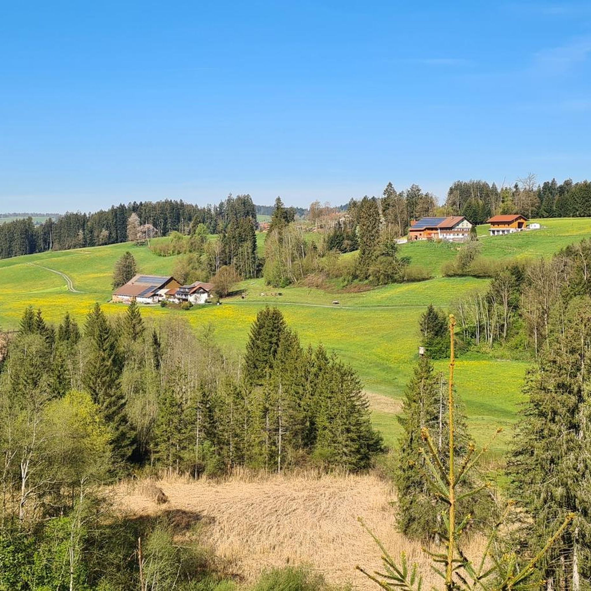
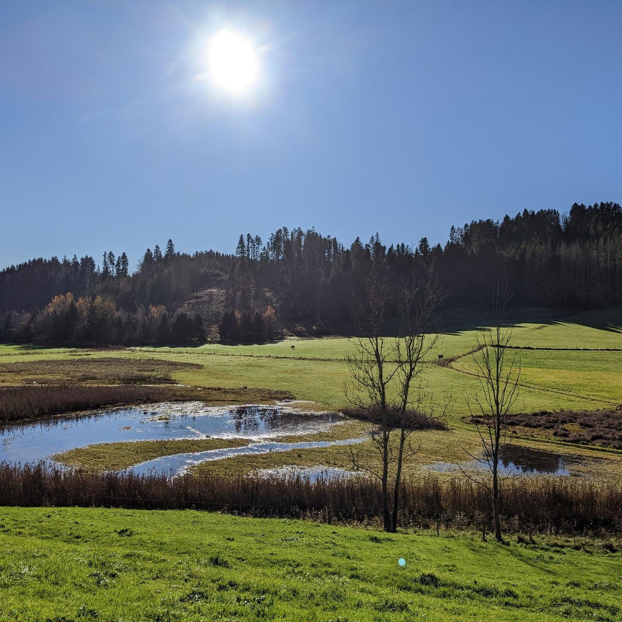
Hiking around Röthenbach (Allgäu) offers diverse experiences within a picturesque landscape. The region is characterized by lush meadows, rolling green hills, and dense forests. Crystal-clear lakes add to the scenic allure, providing tranquil settings for outdoor activities. Situated between the Alps and Lake Constance, Röthenbach (Allgäu) features varied terrain suitable for different fitness levels.
Best hiking trails around Röthenbach (Allgäu)
- The most popular hiking route is Ellhofer Ravine – Tobalbach Gorge loop from Röthenbach im Allgäu, a 7.9 miles…
Last updated: July 4, 2026
4.6
(34)
106
hikers
Moderate hike. Good fitness required. Easily-accessible paths. Suitable for all skill levels.
4.5
(10)
37
hikers
4.33km
01:16
120m
120m
Easy hike. Great for any fitness level. Easily-accessible paths. Suitable for all skill levels.

Sign up for free
4.5
(4)
24
hikers
Easy hike. Great for any fitness level. Easily-accessible paths. Suitable for all skill levels.
5.0
(1)
15
hikers
Moderate hike. Good fitness required. Easily-accessible paths. Suitable for all skill levels.
5.0
(4)
15
hikers
Easy hike. Great for any fitness level. Easily-accessible paths. Suitable for all skill levels.
Get access to more routes and recommendations from other explorers.
Sign up for free
Already have an account?
Our route recommendations are based on thousands of hikes, rides, and runs completed by other people on komoot.
Start today with a free account
Your next adventure awaits.
Login or Signup
Popular around Röthenbach (Allgäu)

Discover the most beautiful road bike Tours in Allgäu
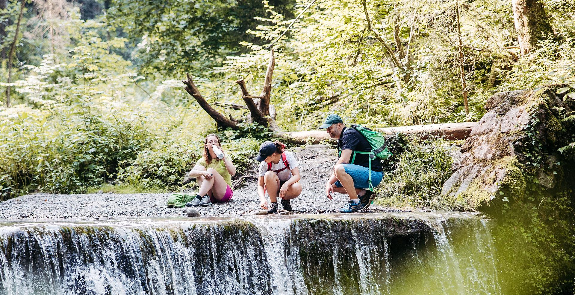
Westallgäuer Wasserwege
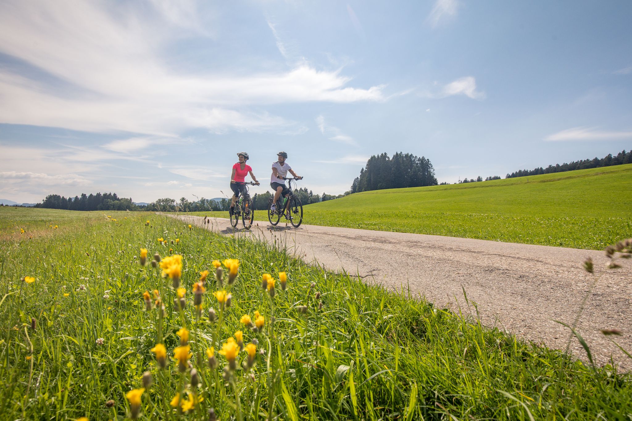
Traumhaftes Westallgäu – Erkunde mit dem Rad den Südwesten Bayerns
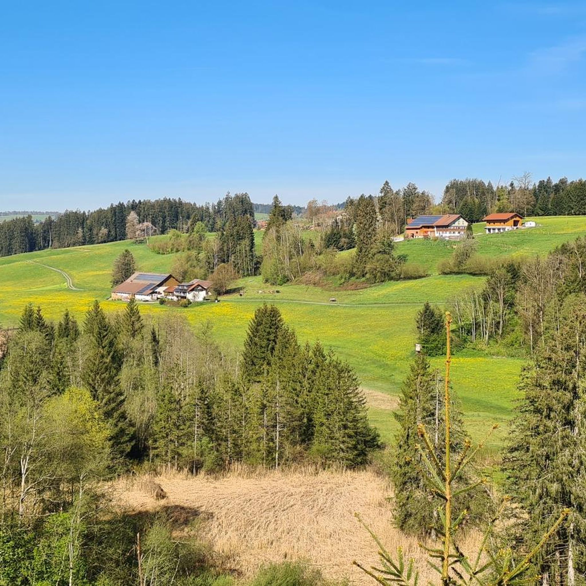
Cycling around Röthenbach (Allgäu)
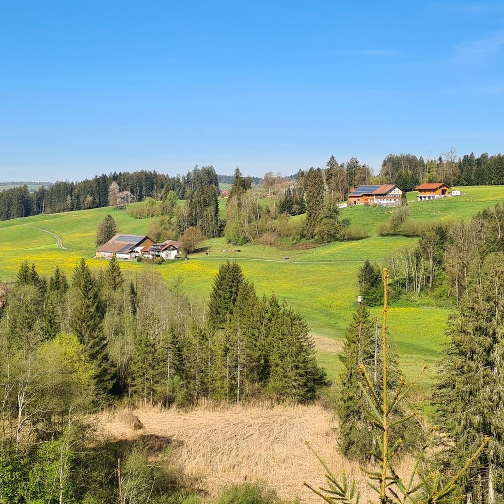
Road Cycling Routes around Röthenbach (Allgäu)
MTB Trails around Röthenbach (Allgäu)
Running Trails around Röthenbach (Allgäu)

Gravel biking around Röthenbach (Allgäu)
Mountain Hikes around Röthenbach (Allgäu)


Tips from the Community

Opening hours: Mon-Fri 6:30-12:30 Mon, Tue, Thu, Fri 14:30-18:00 Sat 6:00-12:00
0
0

It had a little little water, but otherwise it was really great.
1
0
Great view across to Switzerland.
0
0

Two small rivers meet here.
0
0

Binoculars are recommended
0
0


Frequently Asked Questions
How many hiking trails are available in Röthenbach (Allgäu)?
Röthenbach (Allgäu) offers a wide selection of hiking opportunities, with nearly 30 distinct trails. These range from easy strolls through tranquil forests to more challenging routes exploring ravines and scenic viewpoints.
Are there easy hiking trails suitable for beginners or families in Röthenbach (Allgäu)?
Yes, Röthenbach (Allgäu) has plenty of easy trails perfect for beginners or families. For example, the Badwirtschaft Malleichen – Osterwald Forest Trails loop from Gestratz is an easy 4.7 km path through a tranquil forest. Another great option is the Röthenbach Flood Retention Basin – Post Country Inn Röthenbach loop from Röthenbach (Allgäu), an easy 6.1 km trail through varied countryside.
What kind of natural features can I expect to see on hikes in Röthenbach (Allgäu)?
The region is rich in natural beauty, featuring lush meadows, rolling green hills, and dense forests. You'll also discover crystal-clear lakes and impressive ravines. Water-themed trails, like those following the Tobelbach, offer sights of waterfalls, historic mills, and dams.
Are there any circular hiking routes in Röthenbach (Allgäu)?
Yes, many of the trails in Röthenbach (Allgäu) are circular, offering convenient starting and ending points. A popular moderate option is the Ellhofer Ravine – Tobalbach Gorge loop from Röthenbach im Allgäu, which is 12.8 km long. For an easier circular walk, consider the Röthenbach Flood Retention Basin – View of Röthenbach loop from Röthenbach (Allgäu).
Can I find any waterfalls or gorges along the hiking trails?
Absolutely. The region is known for its water-themed routes. The "Following the trails of the Tobelbach" route, for instance, includes waterfalls and an impressive dam. The Ellhofer Ravine – Tobalbach Gorge loop specifically explores a scenic ravine and gorge. Additionally, nearby Eistobel Waterfalls and Scheidegg Waterfalls are popular natural monuments.
What are some notable landmarks or viewpoints I can visit while hiking?
Beyond the trails, you can find several interesting landmarks and viewpoints. The historic Pfarrkirche St. Martin, dating back to 1249, is a significant cultural sight. For scenic views, consider visiting the View from the summit of Salmaser Höhe or the Kalzhofener Höhe. The Riedholzer Kugel (1,068 m) is also a prominent peak in the West Allgäu.
What do other hikers say about the trails in Röthenbach (Allgäu)?
The hiking routes in Röthenbach (Allgäu) are highly regarded by the komoot community, with an average score of 4.5 stars from over 400 reviews. More than 2000 hikers have used komoot to explore the area, often praising the diverse terrain, tranquil settings, and picturesque landscapes.
Are there any moderate hiking options for those looking for a bit more challenge?
Yes, Röthenbach (Allgäu) offers several moderate trails. The Ellhofer Ravine – Tobalbach Gorge loop from Röthenbach im Allgäu is a moderate 12.8 km route that takes about 3 hours and 31 minutes. Another moderate option is the Post Country Inn Röthenbach – View of the Allgäu Countryside loop from Röthenbach (Allgäu), which is 7.5 km long.
What is the best time of year to go hiking in Röthenbach (Allgäu)?
Röthenbach (Allgäu) is beautiful throughout the warmer months. Spring brings lush green meadows, while summer offers pleasant temperatures for exploring. Autumn transforms the forests with vibrant colors, making it another excellent time for hiking. While winter hikes are possible, some trails might be less accessible due to snow.
Are there places to eat or rest along the hiking routes?
Yes, the region offers opportunities for refreshment. Some routes, like the Röthenbach Flood Retention Basin – Post Country Inn Röthenbach loop, pass by country inns. Additionally, you can find huts and alpine inns in the surrounding area, such as Königsalpe Eschwend or Butterblume Alpine Inn, providing places to rest and enjoy local cuisine.
Is Röthenbach (Allgäu) a good base for exploring other parts of the Allgäu?
Absolutely. Röthenbach (Allgäu)'s strategic location in the Westallgäu, between the Alps and Lake Constance, makes it an ideal starting point for wider explorations. You can easily reach other attractions like the Allgäuer Käsestraße (Cheese Route) and even famous sights such as Schloss Neuschwanstein or Lake Constance.
Most popular routes around Röthenbach (Allgäu)
Most popular attractions around Röthenbach (Allgäu)

Get inspired with the komoot mobile app


Explore more
Browse the best Hikes in other regions.
