The best road cycling routes around Carnlougherin
4.3
(21)
1,456
riders
138
rides
Road cycling around Carnlougherin features a landscape characterized by rolling hills and open countryside, with routes often connecting local towns and natural features. The region offers a mix of road types, from quieter country lanes to sections near more populated areas. Elevations are generally moderate, providing varied terrain suitable for different fitness levels. Road cyclists can expect to encounter a blend of agricultural land, some wooded sections, and routes that may approach larger bodies of water like Lough Neagh.
Best…
Last updated: May 24, 2026
64
riders
70.9km
02:55
310m
310m
Moderate road ride. Good fitness required. Mostly well-paved surfaces and easy to ride.
56
riders
50.4km
02:06
250m
250m
Moderate road ride. Good fitness required. Mostly well-paved surfaces and easy to ride.

Sign up for free
34
riders
19.5km
01:34
80m
80m
Easy road ride. Great for any fitness level. Mostly well-paved surfaces and easy to ride.
17
riders
65.4km
02:52
450m
450m
Moderate road ride. Good fitness required. Some segments of this route may be unpaved and difficult to ride.
18
riders
55.9km
02:30
440m
440m
Moderate road ride. Good fitness required. Mostly well-paved surfaces and easy to ride.
Get access to more routes and recommendations from other explorers.
Sign up for free
Already have an account?
Our route recommendations are based on thousands of hikes, rides, and runs completed by other people on komoot.
Start today with a free account
Your next adventure awaits.
Login or Signup



Tips from the Community

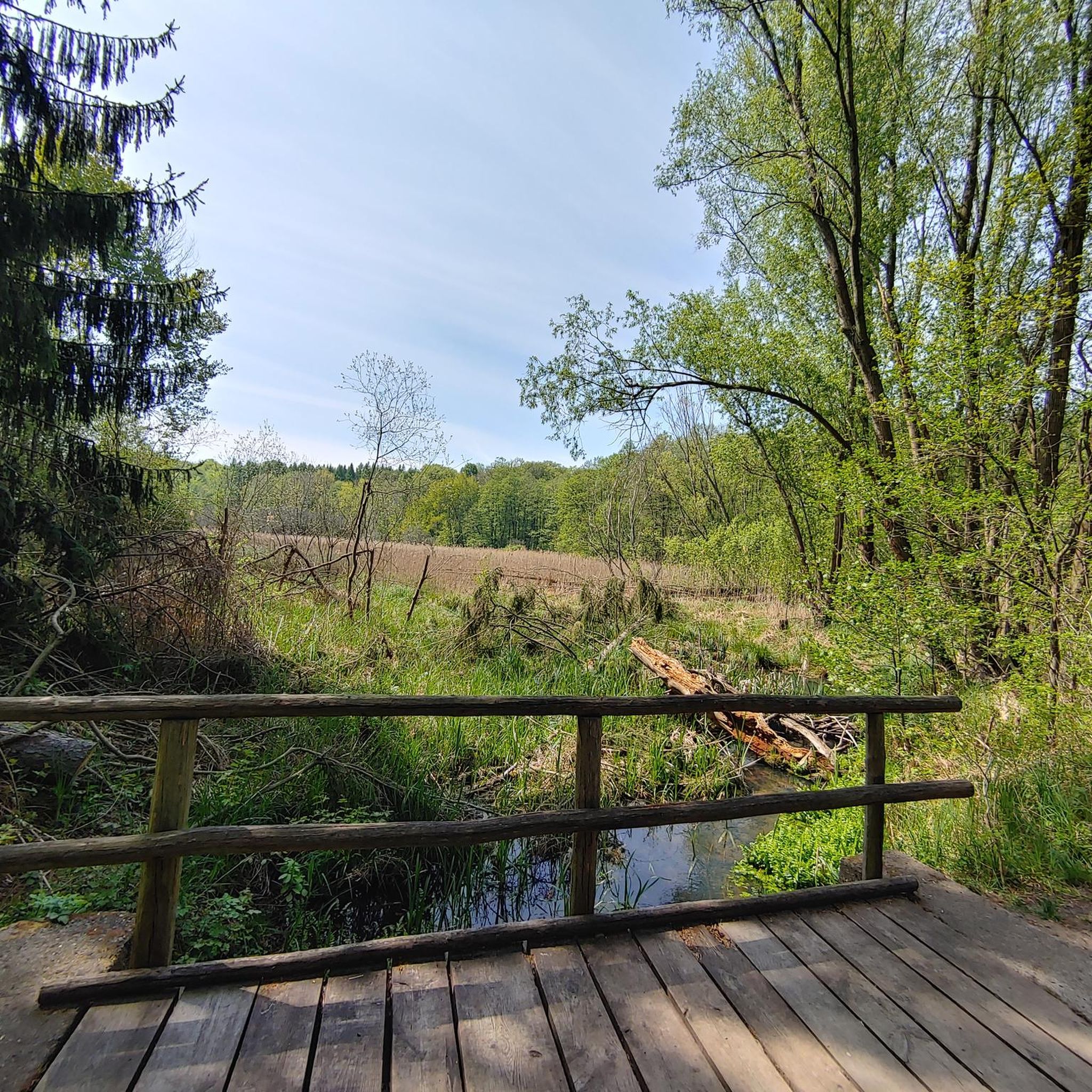
Along the picturesque route near the River Bann, you'll find the Moyallan Pillbox. Built around 1940 as part of Britain's coastal and inland defences, this compact bunker served as an observation post and machine gun nest. Strategically positioned to guard the river crossing and nearby roads, this robust structure is a reminder of a time when this peaceful landscape was on high alert. For the passing cyclist, it's an intriguing stop; its moss-green walls blend almost seamlessly with the surrounding nature, revealing the bunker's secrets only at the last moment. A raw piece of military heritage that sharply contrasts with the tranquility of the present-day countryside.
0
0

If you get the chance visit the Great Hall with the portraits of all the chancellors of the university.
1
0
Relaxed walking along the river (though a bit too much concrete) and popular for running.
3
0
Impressive main building of the University and a great sight in early evening witrh twilight outside and all windows lit.
2
0

Elmwood Hall is an open-plan space with a flat floor and balcony seating. This historic church can be used as a plenary, breakout, or conference room for a variety of larger events.
0
0

Nice little cafe in the village of Scarva right alongside the Newry canal towpath, great for brekkie, lunch or just topping up the hydration.
0
0

Hollie Berrie is a good place for refreshments on the route at Scarva
0
1

St. George's Market in Belfast is a vibrant place offering a variety of stalls selling fresh food, handmade products, and local specialties. The atmosphere is friendly and inviting, ideal for a relaxed stroll. Combining tradition with a modern flair, the market is a popular meeting place for locals and visitors alike. The variety of offerings makes it a special place to experience local culture and cuisine.
1
0
Frequently Asked Questions
How many road cycling routes are available around Carnlougherin?
There are over 150 road cycling routes available around Carnlougherin, catering to various skill levels. The komoot community has explored these routes over 1,400 times, providing valuable insights and ratings.
Are there easy road cycling routes suitable for beginners in Carnlougherin?
Yes, Carnlougherin offers a good selection of routes suitable for beginners. There are 52 easy routes, such as the Roadbike loop from Lagan, which is 12.1 miles (19.5 km) long and features moderate elevation changes, making it a great option for those new to road cycling.
What kind of terrain can I expect on road cycling routes in Carnlougherin?
Road cycling in Carnlougherin is characterized by rolling hills and open countryside. Routes often connect local towns and natural features, with a mix of quieter country lanes and sections near more populated areas. Elevations are generally moderate, providing varied terrain without overly steep climbs.
Are there any challenging road cycling routes for experienced cyclists?
While the majority of routes are moderate, there are 8 more challenging road cycling routes in Carnlougherin for experienced cyclists looking for a greater test. These routes typically feature longer distances and more significant elevation gains.
What is the typical length and duration of road cycling routes in the area?
The routes around Carnlougherin vary significantly in length and duration. For instance, the Queen's University Belfast – Clarehill Sprint loop from Moira is 42.7 miles (68.7 km) and takes nearly 3 hours, while the Roadbike loop from Lagan is 12.1 miles (19.5 km) and can be completed in about 1 hour 30 minutes. You'll find options ranging from short loops to longer excursions.
Are there circular road cycling routes available in Carnlougherin?
Yes, many of the road cycling routes in Carnlougherin are designed as circular loops, allowing you to start and finish at the same point. Examples include the Bartin's Bay – Bartin's Bay, Lough Neagh loop from Moira and the Roadbike loop from Lagan, offering convenient options for exploration.
What is the best time of year for road cycling in Carnlougherin?
The best time for road cycling in Carnlougherin is typically from late spring through early autumn (May to September) when the weather is generally milder and drier. During these months, you can enjoy the open countryside and rolling hills in more comfortable conditions.
What are the winter conditions like for road cycling in Carnlougherin?
Winter conditions in Carnlougherin can be challenging for road cycling, with colder temperatures, increased rainfall, and potentially icy patches, especially on quieter country lanes. Shorter daylight hours also need to be considered. It's advisable to check local weather forecasts and road conditions before heading out during winter months.
Are there scenic routes that offer views of Lough Neagh?
Yes, some routes in Carnlougherin approach larger bodies of water like Lough Neagh, offering scenic views. The Bartin's Bay – Bartin's Bay, Lough Neagh loop from Moira is one such route that provides open countryside views leading towards Lough Neagh.
What do other road cyclists enjoy most about cycling in Carnlougherin?
The area is highly rated by the komoot community, with an average score of 4.5 stars from over 17 reviews. Reviewers often praise the varied terrain, the mix of quiet country lanes, and the opportunity to connect urban areas with rural sprint sections, such as on the Clarehill Sprint – Bartin's Bay loop from Moira.
Are there routes that pass through or near local towns for potential pub stops or refreshments?
Many routes in Carnlougherin connect local towns and villages, providing opportunities for pub stops or refreshments. The region's network of roads often links these communities, allowing cyclists to plan their rides with convenient breaks in mind. For example, routes starting from Moira often pass through or near other populated areas.
How accessible are the road cycling routes by public transport?
Accessibility by public transport varies across the region. While some routes may be reachable via local bus services, direct access to specific trailheads might be limited. It's recommended to research local public transport options and schedules in advance if you plan to use them to reach your starting point.
Are there routes suitable for families with children?
For families with children, it's best to look for the easier, shorter routes with minimal elevation gain and away from busy roads. The 52 easy routes available, such as the Roadbike loop from Lagan, would be more suitable, offering a gentler introduction to road cycling in the area.
Most popular routes around Carnlougherin

Get inspired with the komoot mobile app


Explore more
Browse the best Road cycling routes in other regions.
