The best running trails around Günthersbühler Forst
4.3
(1183)
23,354
runners
920
runs
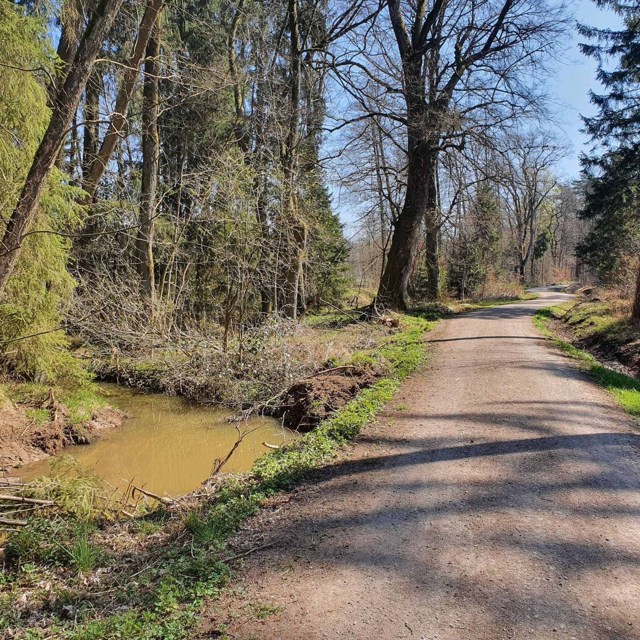
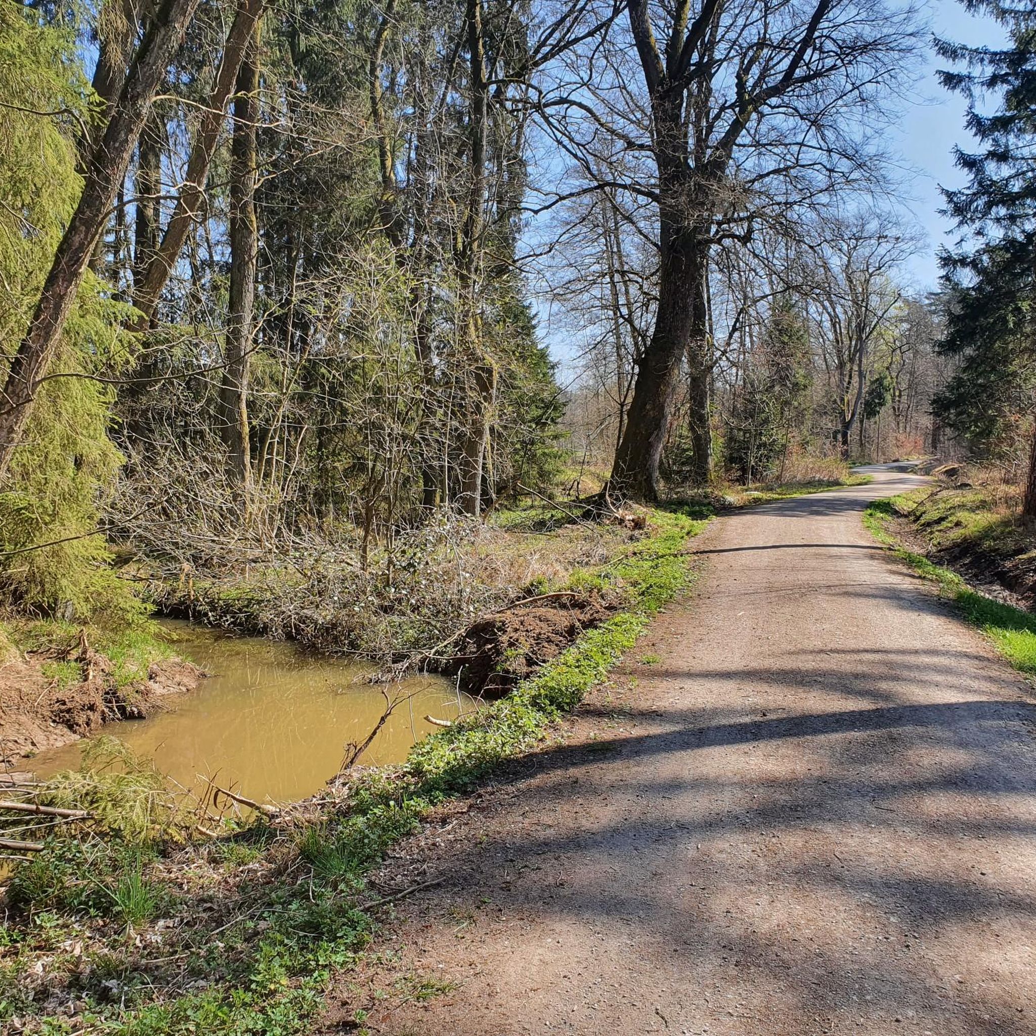
Jogging routes around Günthersbühler Forst traverse a diverse landscape within the larger Sebalder Reichswald, characterized by mixed forest types. The topography ranges from relatively flat to gently undulating, with sandy soils interspersed with water-retaining clayey sediments. Notable natural features include the "Naturwald Feuchtwälder im Nürnberger Reichswald," which encompasses moist forests and stream valleys along waterways like the Simmelberger Gründlach. This area provides varied terrain and microclimates suitable for running.
Best jogging routes around Günthersbühler Forst
- The most popular jogging route…
Last updated: October 1, 2026
27
runners
20.1km
02:06
150m
150m
Hard run. Very good fitness required. Mostly paved surfaces. Suitable for all skill levels.
10
runners
Moderate run. Good fitness required. Mostly paved surfaces. Suitable for all skill levels.

8
runners
8.66km
00:55
100m
100m
Moderate run. Good fitness required. Mostly paved surfaces. Suitable for all skill levels.
5
runners
13.5km
01:26
140m
140m
Moderate run. Good fitness required. Mostly paved surfaces. Suitable for all skill levels.
4.0
(1)
5
runners
6.49km
00:41
70m
70m
Moderate run. Good fitness required. Mostly paved surfaces. Suitable for all skill levels.
Get access to more routes and recommendations from other explorers.
Already have an account?
Our route recommendations are based on thousands of hikes, rides, and runs completed by other people on komoot.
Start today with a free account
Your next adventure awaits.

Tips from the Community

Every now and then, small bridges or wooden footbridges lead over the Bitterbach
0
0

The Bitterbach Gorge is always worth a visit. Unfortunately, it is quite crowded. Therefore, I recommend visiting the Bitterbach Gorge during the week
1
1

Since you are no longer allowed to walk on the pond, there is a nice alternative here
1
0
a nice bridge leads over the Bitterbach
2
0

We're through today. Except for two or three places you can drive everything. But we preferred to take our time and look at the gorge, very beautiful. We didn't have to carry the MTB.
0
0

If all the answers from this station are correct, why are we still finding pottery from Roman times???
1
0

The source version was restored in 2015. Pretty little place in the woods not far from the main trail. Ideal for a short rest
4
0

Very interesting list of different types of waste, which are often carelessly disposed of in the forest. If you lift the top metal plate of the type of garbage, you will be told the number of years it will take for that type of garbage to finally decompose.
4
0
Frequently Asked Questions
How many running routes are available in Günthersbühler Forst?
Günthersbühler Forst offers a wide selection of running routes, with over 900 tours available on komoot. These routes cater to various fitness levels, including 93 easy, 701 moderate, and 130 difficult options.
What kind of terrain can I expect when jogging in Günthersbühler Forst?
The terrain in Günthersbühler Forst is quite diverse. You'll find a mix of forest types, from pine monocultures to natural mixed forests. The topography generally ranges from relatively flat to gently undulating, with sandy soils interspersed with water-retaining clayey sediments. This creates varied running surfaces and microclimates throughout the forest.
Are there any specific natural features or landmarks to look out for while running?
Yes, Günthersbühler Forst is home to several interesting natural features. A significant area is the "Naturwald Feuchtwälder im Nürnberger Reichswald", which includes moist forests and picturesque stream valleys along waterways like the Simmelberger Gründlach. You might also encounter the scenic Bitterbach Gorge, which is featured on routes like the Bridge Over the Bitterbach – Bitterbach Gorge loop.
What do other runners say about the trails in Günthersbühler Forst?
The running routes in Günthersbühler Forst are highly regarded by the komoot community, holding an average rating of 4.4 stars from over 1300 reviews. Nearly 30,000 runners have used komoot to explore the varied terrain, often praising the diverse forest types and well-maintained paths.
Are there any running routes suitable for families?
While specific 'family-friendly' designations aren't always explicit, many of the moderate routes with gentler elevation profiles would be suitable for families. For example, the Bitterbach Gorge near Lauf – Playground loop from Rückersdorfer Forst is a moderate 6.5 km route that could be a good option, especially with a playground nearby.
Can I bring my dog on the running trails?
Generally, forests in Germany, including Günthersbühler Forst, are dog-friendly. However, it's always recommended to keep your dog on a leash, especially in nature reserve areas like the "Naturwald Feuchtwälder im Nürnberger Reichswald" to protect wildlife and ensure a pleasant experience for all users. Always check local signage for specific rules.
Are there any circular running routes in the area?
Yes, many of the running routes in Günthersbühler Forst are designed as loops, offering convenient circular options. A popular example is the challenging Zeller Brünnlein Spring loop from Günthersbühler Forst, which covers 20 km and features spring-fed paths.
What are some longer, more challenging running options?
For those seeking a more challenging run, the Zeller Brünnlein Spring loop from Günthersbühler Forst is a difficult 20 km route with over 150 meters of elevation gain. Another good option is the Bitterbach Gorge loop from Rückersdorfer Forst, a moderate 13.5 km route with over 140 meters of elevation.
Are there any waterfalls or gorges to explore while running?
Yes, the area features the beautiful Bitterbach Gorge, which you can experience on routes like the Bridge Over the Bitterbach – Bitterbach Gorge loop. Additionally, the Klingender Waterfall is another natural highlight in the broader region that might be accessible from some trails.
What is the best season for jogging in Günthersbühler Forst?
Günthersbühler Forst offers a pleasant running experience year-round. In spring and autumn, the changing foliage provides beautiful scenery. Summer offers lush green trails, though it's advisable to run in the cooler morning or evening hours. Winter running can be magical, especially after fresh snowfall, but always check trail conditions for ice or heavy snow.
Are there any viewpoints along the running routes?
While running through the forest, you'll encounter various scenic spots. For specific viewpoints, you might find the View from Glatzenstein to be a rewarding detour or a feature on some routes, offering expansive views of the surrounding landscape.
Is Günthersbühler Forst easily accessible by public transport?
As part of the larger Sebalder Reichswald, Günthersbühler Forst is a significant 'green lung' for the Nuremberg region. While specific public transport stops directly at trailheads might vary, the area is generally well-integrated into the regional infrastructure, making it accessible from nearby towns and cities. It's recommended to check local transport schedules for the most convenient access points.
Most popular routes around Günthersbühler Forst
Most popular attractions around Günthersbühler Forst

Get inspired with the komoot mobile app


Explore more
Browse the best Running Trails & Routes in other regions.
