The best mountain hikes around Schönau an der Brend
3.0
(3)
11
hikers
4
hikes
Mountaineering routes around Schönau an der Brend are situated within the UNESCO Rhön Biosphere Reserve, characterized by gentle hills, forests, and prominent peaks. The region offers diverse landscapes, including the Brend Valley and the significant Kreuzberg, often referred to as the "Holy Mountain of the Franconians." This area provides varied terrain for outdoor pursuits, with elevations offering panoramic views.
Best mountaineering routes around Schönau an der Brend
- The most popular mountaineering route is Marienbrünnlein – Kreuzberg Summit loop from Unterweißenbrunn…
Last updated: August 25, 2026
5.0
(2)
6
hikers
13.6km
04:12
490m
490m
Moderate mountaineering route. Good fitness required. Easily-accessible paths. Suitable for all skill levels.
2
hikers
Moderate mountaineering route. Good fitness required. Easily-accessible paths. Suitable for all skill levels.

Sign up for free
2
hikers
Moderate mountaineering route. Good fitness required. Easily-accessible paths. Suitable for all skill levels.
Our route recommendations are based on thousands of hikes, rides, and runs completed by other people on komoot.
Start today with a free account
Your next adventure awaits.
Login or Signup
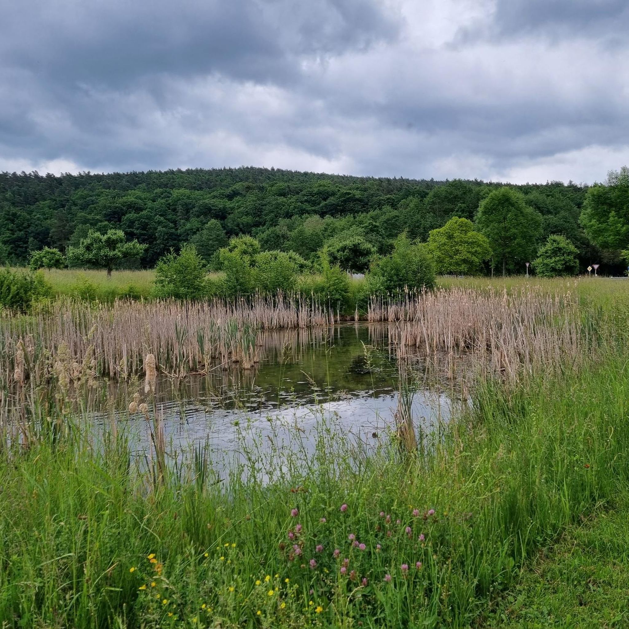
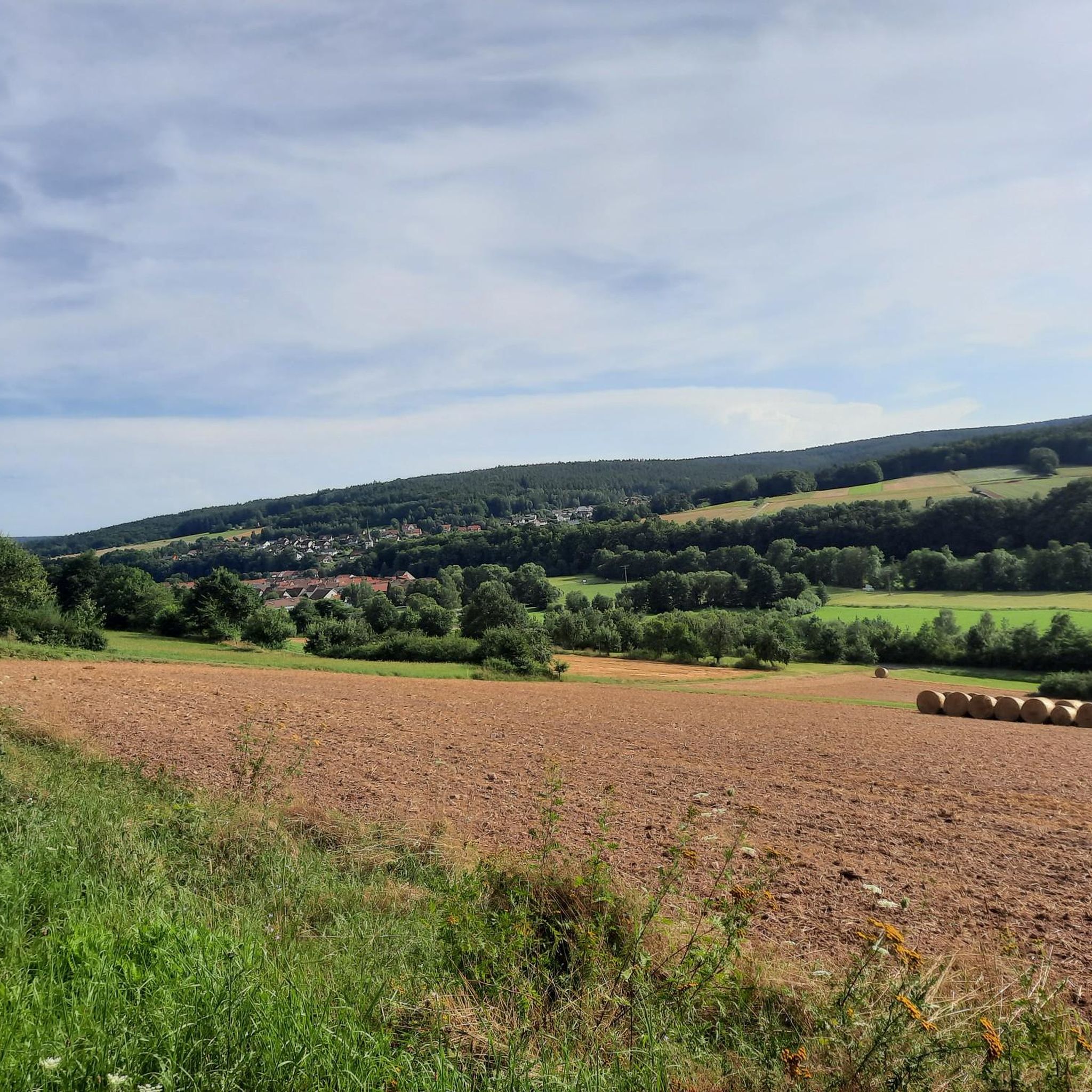
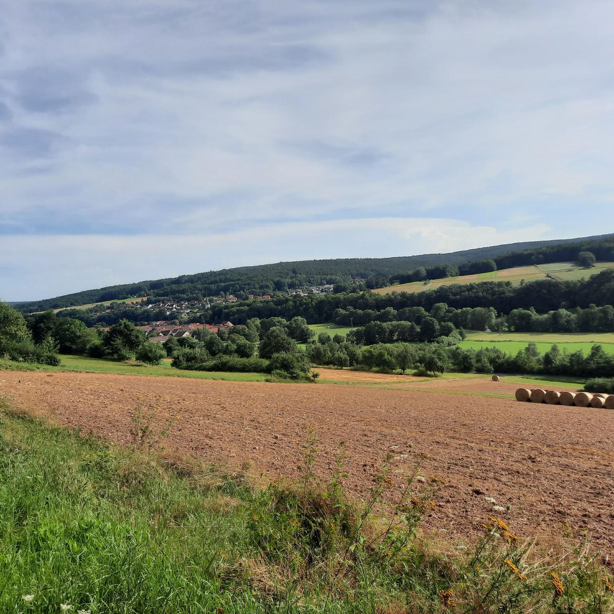
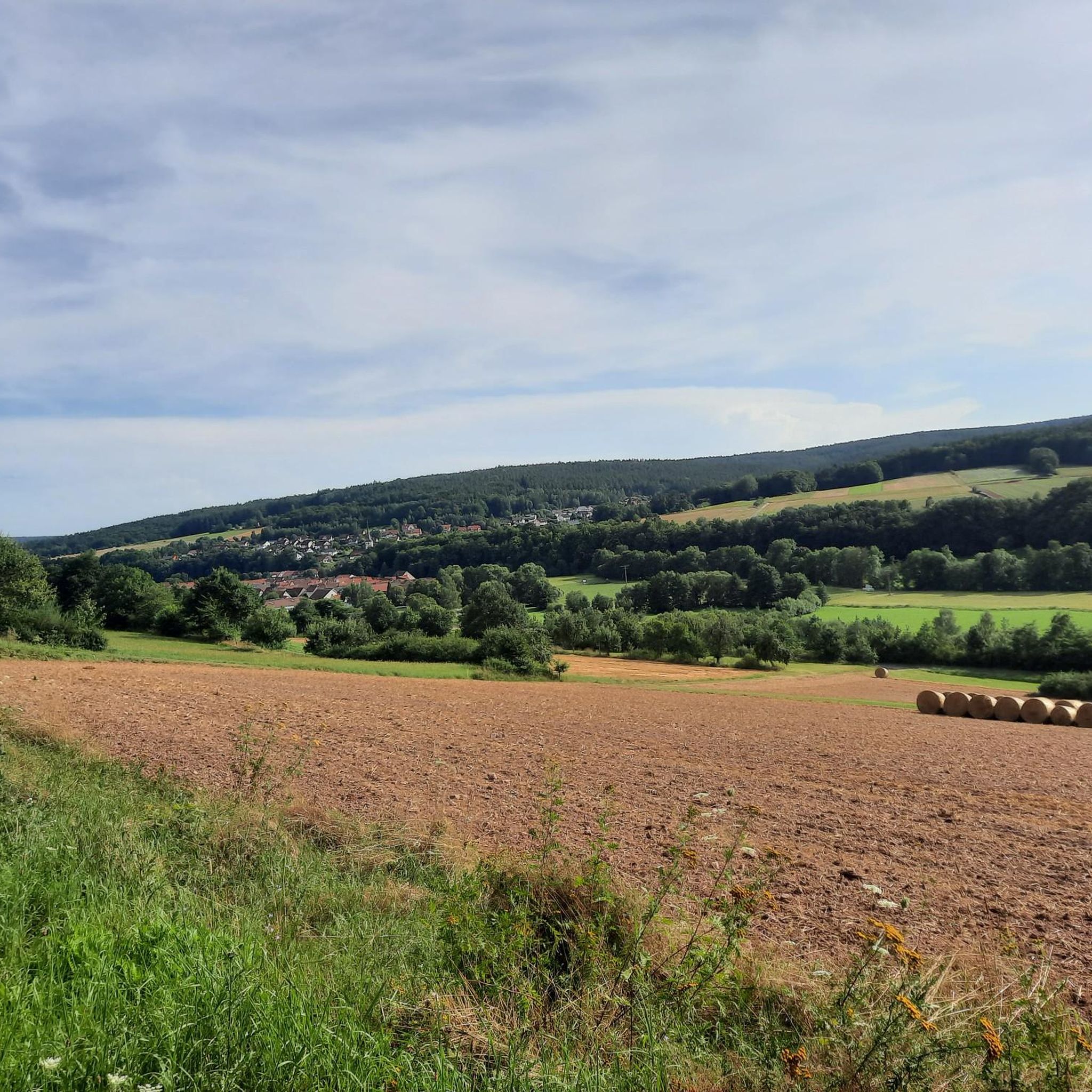


Tips from the Community

Candle chapel opposite the monastery church, in autumn / winter you can also warm up nicely here 😉
0
0

Great view from the Osterburg
0
0


You can stop by
3
0

Really nice and quiet in the morning. From 12pm onwards it is often very busy.
1
1

This small fountain is located on the way down from Kreuzberg to Neustädter Haus.
0
0

Frequently Asked Questions
What is the general difficulty level of mountaineering routes around Schönau an der Brend?
The mountaineering routes around Schönau an der Brend are generally considered moderate. All 4 routes listed in this guide fall into this category, offering a good balance of challenge and accessibility for most hikers.
Are there any circular mountaineering routes in the area?
Yes, several routes are designed as loops, allowing you to start and end at the same point. For example, the Marienbrünnlein – Kreuzberg Summit loop from Unterweißenbrunn is an 8.5-mile circular trail that takes you to the prominent Kreuzberg summit.
What kind of natural landmarks or viewpoints can I expect to see on these routes?
The region is rich in natural beauty. You can find impressive viewpoints like the Himmeldunkberg summit, which offers wide views. The View from the summit of Kreuzberg – Kreuzberg Monastery loop from Bischofsheim in der Rhön specifically highlights the panoramic vistas from Kreuzberg, often called the 'Holy Mountain of the Franconians'.
Are there any historical sites or points of interest along the mountaineering trails?
Yes, some routes combine natural beauty with historical elements. The Osterburg castle ruins – Kreuzberg Monastery loop from Bischofsheim in der Rhön, for instance, leads you past historical ruins and through forested areas, offering a glimpse into the region's past.
What do other mountaineers say about the routes in Schönau an der Brend?
The mountaineering routes in Schönau an der Brend are well-regarded by the komoot community, holding an average rating of 3.0 stars. Over 10 mountaineers have used komoot to explore the varied terrain, often praising the scenic beauty and the well-maintained trails within the Rhön Biosphere Reserve.
Are there any waterfalls or lakes accessible from the mountaineering routes?
While directly on the mountaineering routes, you might encounter various natural features. Nearby, you can find the Devil's Mill Waterfall and several lakes, such as the Basalt Lake at the Stone House or Silbersee (former basalt quarry), which are popular highlights in the broader region.
What is the typical duration for a mountaineering tour in this area?
The duration of mountaineering tours varies. For example, the Hutladen Kreuzberg – Kreuzberg Monastery loop from Bischofsheim in der Rhön is one of the longer options, typically taking around 4 hours 35 minutes to complete its 9.3-mile distance. Shorter routes, like the 4.4-mile loop to Kreuzberg summit, can be completed in under 2.5 hours.
Is Schönau an der Brend suitable for family-friendly mountaineering?
While all routes in this guide are rated moderate, the region generally offers a range of trails. The 'Erlebnisweg Sinntal' is mentioned as suitable for families in the broader Rhön area. For specific mountaineering routes, families with older children or those accustomed to moderate hikes might enjoy the shorter loops that offer rewarding views without extreme difficulty.
What is the best time of year for mountaineering around Schönau an der Brend?
The Rhön Biosphere Reserve, where Schönau an der Brend is located, is beautiful throughout the warmer months. Spring and autumn offer pleasant temperatures and vibrant scenery, while summer provides longer daylight hours. The region's diverse landscapes are enjoyable in all seasons, but checking local weather conditions is always advisable, especially for higher elevations like Kreuzberg.
Are there options for less crowded mountaineering experiences?
While Kreuzberg is a prominent and popular destination, the extensive network of trails throughout the Rhön Biosphere Reserve means you can often find quieter paths. Exploring routes that venture slightly further from the main attractions or choosing off-peak times can lead to a more serene experience amidst the gentle hills and forests.
What are the parking facilities like for mountaineering routes near Schönau an der Brend?
Many popular trailheads, especially those leading to significant peaks like Kreuzberg, typically have designated parking areas. Given the region's focus on outdoor activities, you can generally expect accessible parking near the starting points of mountaineering routes, particularly in and around towns like Bischofsheim in der Rhön, which serves as a common starting point for several tours.
Can I bring my dog on the mountaineering trails?
The Rhön Biosphere Reserve is generally dog-friendly, and many hiking trails welcome dogs. However, it's always recommended to keep your dog on a leash, especially in nature protection areas, near wildlife, or when passing through agricultural land. Always check specific trail regulations or local signage for any restrictions.
Most popular routes around Schönau an der Brend
Most popular attractions around Schönau an der Brend

Get inspired with the komoot mobile app


Explore more
Browse the best Mountain Hikes & Routes in other regions.
