The best walks and hikes around Schönau an der Brend
4.5
(11469)
42,584
hikers
43
hikes
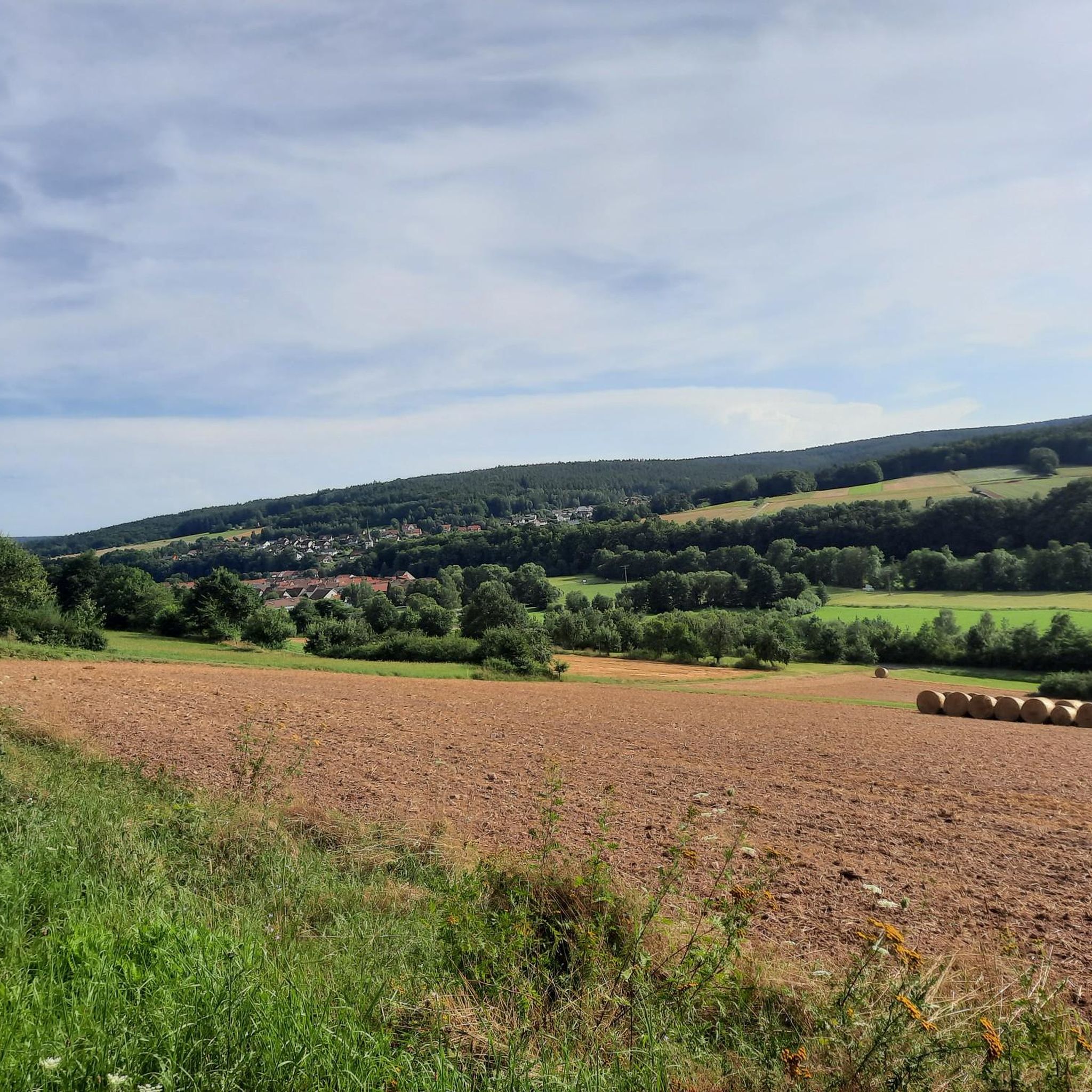
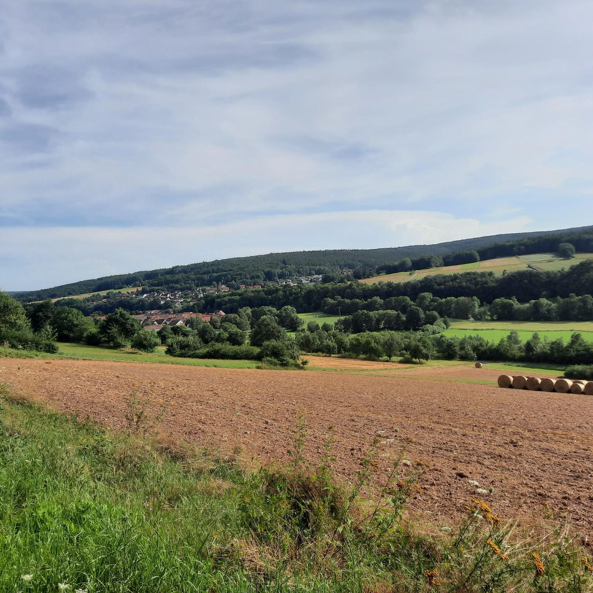
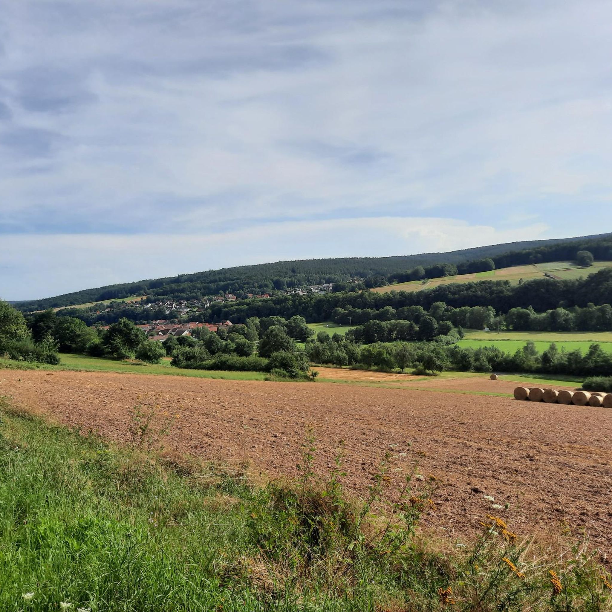
Hiking around Schönau an der Brend offers diverse landscapes within the UNESCO Rhön Biosphere Reserve. The region is characterized by varied topography, including picturesque meadows and extensive forests. It lies at the foot of the Kreuzberg, providing expansive views, and features the Burgwallbacher Forest and the Brendtal valley. The Himmeldunkberg, nearly 888 meters high, also contributes to the area's natural features.
Best hiking trails around Schönau an der Brend
- The most popular hiking route is Kreuzberg Summit and Viewpoint –…
Last updated: August 21, 2026
4.8
(30)
112
hikers
Hard hike. Very good fitness required. Easily-accessible paths. Suitable for all skill levels.
4.6
(26)
94
hikers
10.3km
02:51
180m
180m
Moderate hike. Good fitness required. Easily-accessible paths. Suitable for all skill levels.

Sign up for free
4.6
(26)
87
hikers
10.5km
02:53
170m
180m
Moderate hike. Good fitness required. Easily-accessible paths. Suitable for all skill levels.
4.6
(8)
41
hikers
15.2km
04:18
320m
320m
Moderate hike. Good fitness required. Easily-accessible paths. Suitable for all skill levels.
4.8
(11)
36
hikers
Easy hike. Great for any fitness level. Easily-accessible paths. Suitable for all skill levels.
Get access to more routes and recommendations from other explorers.
Sign up for free
Already have an account?
Our route recommendations are based on thousands of hikes, rides, and runs completed by other people on komoot.
Start today with a free account
Your next adventure awaits.
Login or Signup



Tips from the Community

Funny, funny, funny, funny …
0
0

An original photo stop with typical Rhön charm. Briefly stop, enjoy the view, and let the special atmosphere sink in – a little smile is almost mandatory here. 🚵♂️
0
0

Mega beautiful facade and everything well preserved
0
0

Suitable for a break, not completely quiet
0
0

Idyllically situated and inviting.
0
0
A very beautiful trail with lots of scenic nature.
0
0


Currently closed. We're currently undergoing renovations and will likely reopen in mid-2026. If you have any news, please add it as a tip :)
1
0
Frequently Asked Questions
How many hiking trails are available around Schönau an der Brend?
There are over 40 diverse hiking trails around Schönau an der Brend, catering to various skill levels. These routes explore the picturesque meadows, extensive forests, and prominent peaks within the UNESCO Rhön Biosphere Reserve.
Are there easy or beginner-friendly hiking trails in Schönau an der Brend?
Yes, Schönau an der Brend offers a good selection of easy and beginner-friendly trails, with 19 routes specifically categorized as easy. These paths are perfect for those looking for a relaxed walk through the scenic Rhön landscape.
What kind of landscapes and natural features can I expect to see while hiking here?
Hiking around Schönau an der Brend, you'll experience the varied topography of the UNESCO Rhön Biosphere Reserve. Expect picturesque meadows, extensive forests, and views of prominent peaks like the Kreuzberg and Himmeldunkberg. The region also features the beautiful Burgwallbacher Forest and the serene Brendtal valley.
Are there any circular hiking routes available?
Yes, Schönau an der Brend is known for its local circular routes. An example is the moderate Burgwallbach Lake loop from Burgwallbach, which offers pleasant views of the water and surrounding woodlands. Many other designated Rhön-Rundwege (Rhön Circular Routes) also originate from Schönau.
What are some notable landmarks or points of interest along the trails?
Hikers can discover various points of interest. For instance, the Kreuzberg Summit and Viewpoint – Rhönbauernbuam Bench loop from Schönau an der Brend leads to the Kreuzberg summit with panoramic views. You might also encounter historical elements, village landmarks like the Rhön wheel monument, or even the romantic Liesbach hut in the Burgwallbacher Forest.
Are there any huts or places to rest and refuel along the hiking routes?
Yes, the region offers several huts and places for refreshment. The Gemündener Hut is a popular spot, and you can find it on routes like the Gemündener Hut – Kreuzberg Monastery loop from Burgwallbach. After a hike, visitors can also enjoy local hospitality at inns and breweries in the area.
What do other hikers enjoy most about the trails in Schönau an der Brend?
The hiking trails in Schönau an der Brend are highly rated by the komoot community, with an average score of 4.6 stars from over 1600 reviews. Hikers often praise the extensive forests, open meadows, and the prominent peaks of the Rhön, as well as the well-developed and varied trail network suitable for all levels.
Are there any trails that offer impressive views?
Absolutely. The region is known for its expansive views. The Kreuzberg Summit and Viewpoint – Rhönbauernbuam Bench loop from Schönau an der Brend ascends to the Kreuzberg summit, offering panoramic vistas. The Himmeldunkberg, nearly 888 meters high, also provides impressive views from its summit.
Can I find trails that pass by water features, like lakes or waterfalls?
Yes, you can. The Burgwallbach Lake loop from Schönau an der Brend offers pleasant views of the water. Additionally, the Schwarzbach, near Himmeldunkberg, features basalt blocks and a small waterfall at Teufelsmühle, adding a natural highlight to hikes in that area.
What is the typical length of hiking routes in Schönau an der Brend?
Hiking routes in Schönau an der Brend vary significantly in length. You can find shorter, moderate loops like the Old Shelter Near Schönau loop from Schönau an der Brend, which is about 8.7 km. There are also more challenging, longer trails such as the Kreuzberg Summit and Viewpoint – Rhönbauernbuam Bench loop from Schönau an der Brend, which spans over 21 km.
Is Schönau an der Brend suitable for family-friendly hikes?
Yes, Schönau an der Brend offers trails suitable for families. The diverse network includes options for different ability levels, ensuring that families can find paths that are enjoyable and manageable for all members, often through soft forest floors and scenic meadows.
Are there any sections of premium hiking trails in the area?
Yes, the region provides access to sections of the renowned "Hochrhöner" premium hiking trail. This trail is highly recommended for nature lovers seeking a high-quality hiking experience through the Rhön's beautiful landscapes.
Most popular routes around Schönau an der Brend
Most popular attractions around Schönau an der Brend

Get inspired with the komoot mobile app


Explore more
Browse the best Hikes in other regions.
