The best running trails around Burgwallbacher Forst
4.5
(577)
6,197
runners
575
runs
Jogging routes around Burgwallbacher Forst traverse a predominantly wooded landscape within the Bavarian Rhön, offering a diverse range of running experiences. The area is characterized by extensive forests and rolling hills, with elevations reaching up to 627 meters. This natural setting provides varied terrain, from gentler paths suitable for easy runs to more challenging routes with significant elevation changes.
Best jogging routes around Burgwallbacher Forst
- The most popular jogging route is Running loop from Wegfurt, a 3.1 miles (4.9…
Last updated: August 26, 2026
4.0
(3)
21
runners
4.92km
00:31
40m
40m
Easy run. Great for any fitness level. Mostly paved surfaces. Suitable for all skill levels.
4.0
(1)
16
runners
6.23km
00:46
180m
180m
Moderate run. Good fitness required. Mostly paved surfaces. Suitable for all skill levels.

Sign up for free
17
runners
8.09km
00:51
70m
70m
Moderate run. Good fitness required. Mostly paved surfaces. Suitable for all skill levels.
17
runners
Hard run. Very good fitness required. Mostly paved surfaces. Suitable for all skill levels.
5.0
(1)
16
runners
Hard run. Very good fitness required. Mostly paved surfaces. Suitable for all skill levels.
Get access to more routes and recommendations from other explorers.
Sign up for free
Already have an account?
Our route recommendations are based on thousands of hikes, rides, and runs completed by other people on komoot.
Start today with a free account
Your next adventure awaits.
Login or Signup


Tips from the Community

Roman Catholic Castle Church (also Castle Chapel) Heilig-Kreuz in Bad Neuhaus (district of Bad Neustadt an der Saale, Bavaria). Monumental building from the 18th century, located in the spa area directly on Schloss Neuhaus and the spa park. Built between 1773 and 1776 on behalf of the lord of the manor Egid Valentin Felix von Borie according to designs by Heinrich Todesco.
3
0
A historic half-timbered property that was formerly used as a brewery. Picturesquely located on cycling and hiking trails along the Franconian Saale.
4
0
The sculpture serves as an artistic well cover for the local Karl-Theodor spring. Depiction of a fighting eagle with a writhing snake. Made of stainless steel.
4
0
Generous green spaces, old trees, bodies of water and a flowing transition into the floodplains of the Franconian Saale invite you to stroll and linger. Popular place for spa concerts, picnic concerts and summer festivals.
4
0

The Kreuzberg in the Rhön has always attracted people as a place of power. In pre-Christian times, there was a sacred ash tree there, which is remembered by the old name "Aschberg". Since the Christianization of the Franks by St. Kilian and his companions in the year 686, the Kreuzberg has been considered the Holy Mountain of the Franks. The monastery, located just below the summit, was founded in 1644 by Franciscan monks. The pilgrimages are popular with the population, both from the surrounding area and traditionally from the Lower Franconian district town of Würzburg, which makes the long journey on foot to the pilgrimage church every year. Quelle: https://www.biosphaerenreservat-rhoen.de/mensch/tourismus-gastronomie-und-erholung/schaetze-der-rhoen/der-kreuzberg
1
0

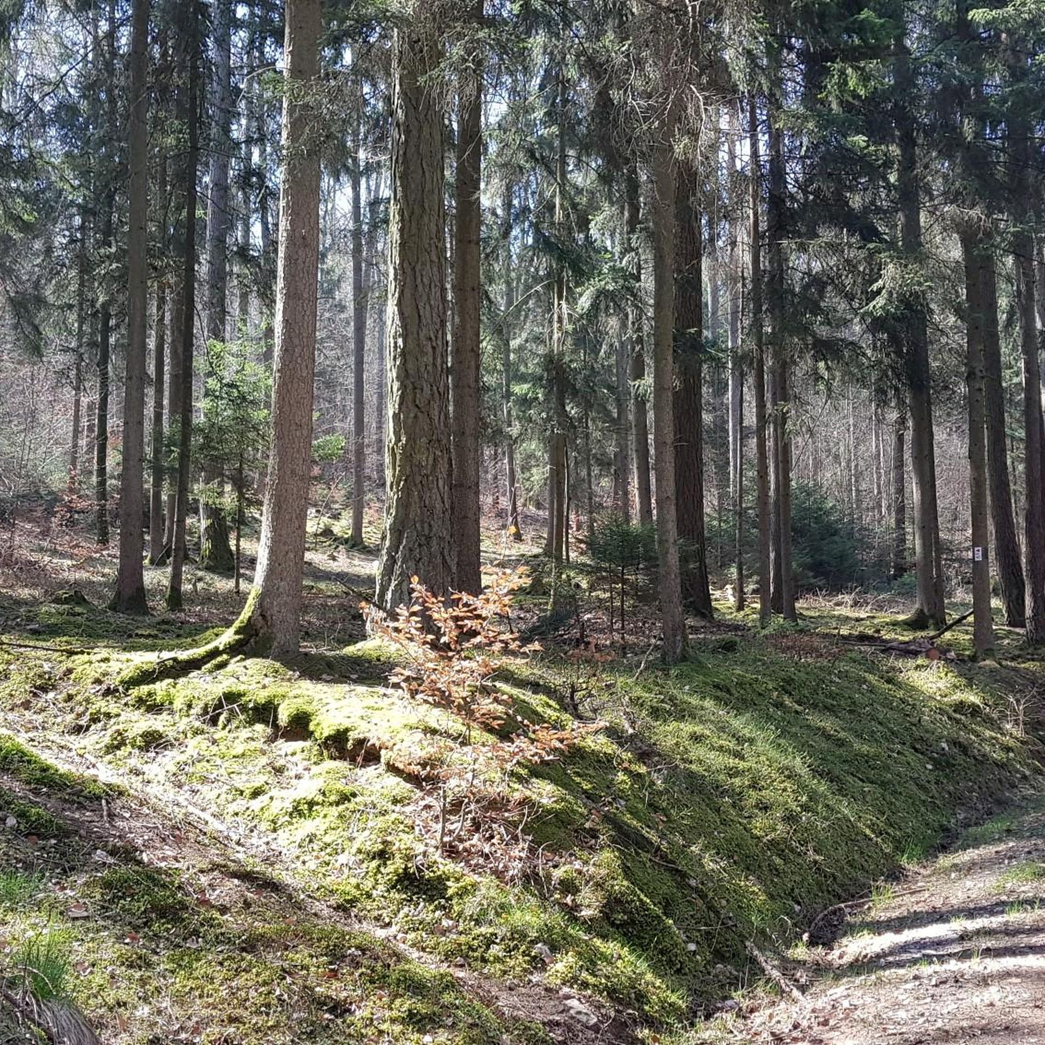
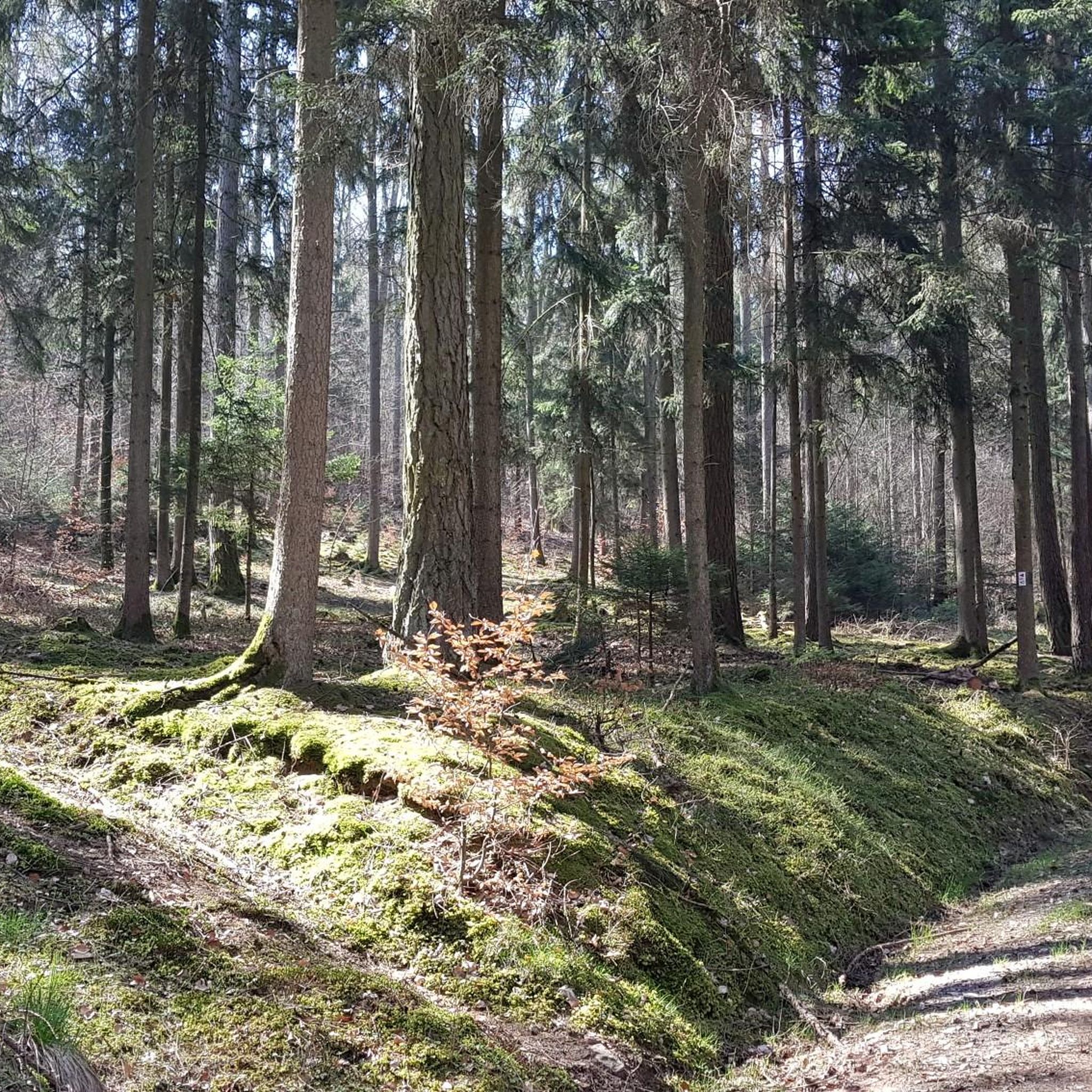
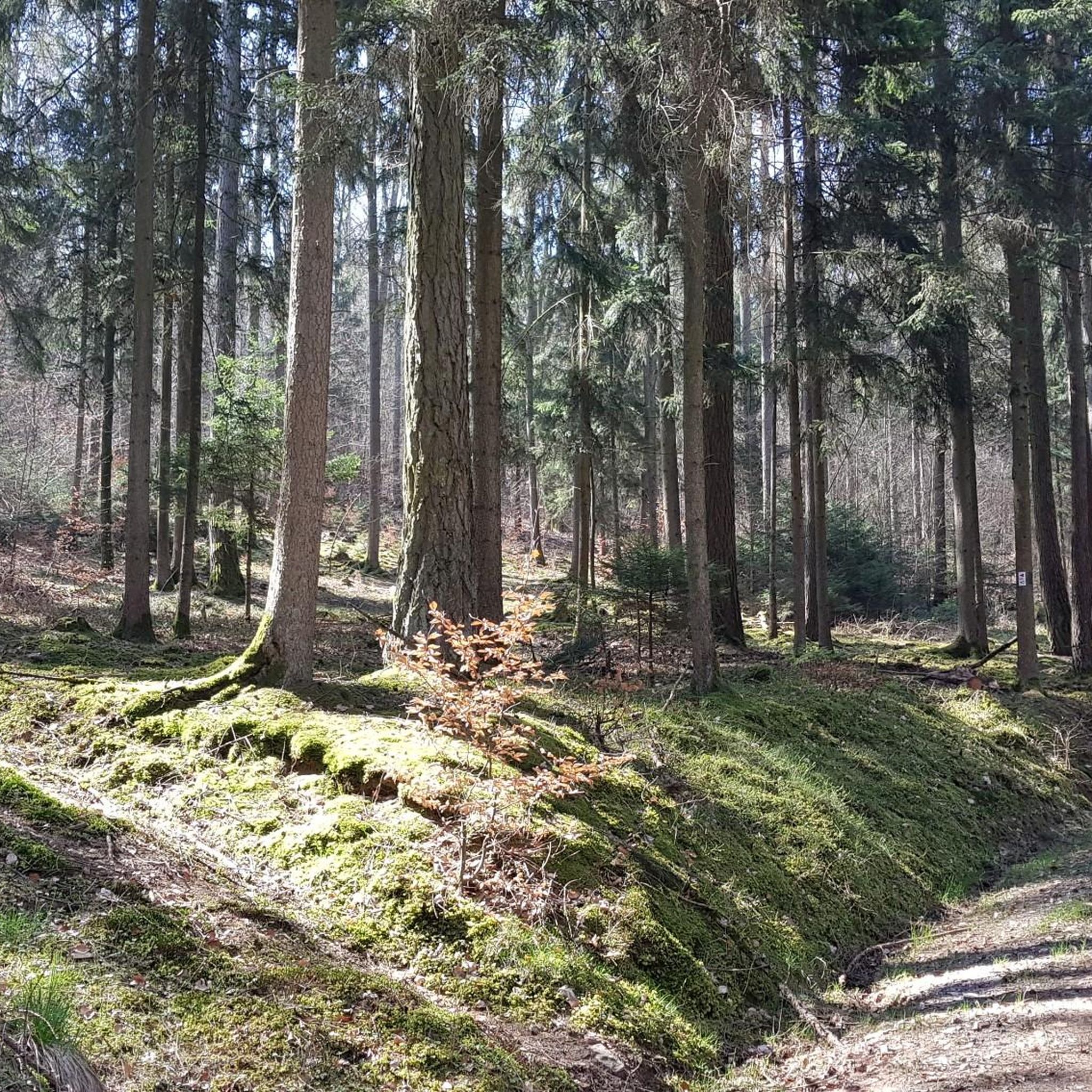
Great stone embankment, made by nature :)
0
0

Directly below the Kreuzberg is a paid hiking parking lot. From there it is only about 400 meters to the Kreuzberg monastery. Via a steep staircase, you reach the Kreuzberg (928 m above sea level). On the way, you pass three oversized crosses that represent striking waypoints. A little further up, you finally reach the even larger summit cross of the mountain. The location is part of the Bischofsheimer Gipfel-Pass with stamp number 3 (directly next to the cross pedestal).
1
0

zZ in Easter decoration as a sign of the invention of the famous Rhönrad
2
0
Frequently Asked Questions
How many running trails are available in Burgwallbacher Forst?
Burgwallbacher Forst offers a wide selection of routes, with over 530 running trails available on komoot. This extensive network ensures options for every preference and fitness level.
What kind of terrain can I expect on the jogging routes in Burgwallbacher Forst?
The terrain in Burgwallbacher Forst is predominantly wooded, characterized by dense forests and rolling hills. You'll find a variety of surfaces, from gentler paths suitable for easy runs to more challenging routes with significant elevation changes, including sections described as 'Steep Forest Trail'.
Are there running routes suitable for beginners or those looking for an easy jog?
Yes, Burgwallbacher Forst has plenty of options for an easy jog. There are over 50 easy routes available. A popular choice is the Running loop from Wegfurt, an easy 3.1-mile (4.9 km) trail that offers a pleasant run through the local scenery.
What are the more challenging running options in the Burgwallbacher Forst area?
For those seeking a challenge, Burgwallbacher Forst offers nearly 100 difficult running routes. A highly-rated option is the Fischerhaus Herschfeld – View of the Brend loop from Bad Neustadt an der Saale (VGem), a demanding 9.4-mile (15.1 km) path with varied terrain. Another challenging route is the Kreuzberg Summit and Viewpoint – View from the summit of Kreuzberg loop from Schönau (Brend), which covers 13.6 miles (21.9 km) and includes significant elevation gain.
Can I find scenic viewpoints or natural landmarks along the running paths?
Absolutely! The region is known for its scenic beauty. You can enjoy panoramic views, such as the 'View of the Three Crosses (Dreikreuze)' into the valley. The area also features the picturesque Burgwallbacher See (Burgwallbach Lake) and is part of the Rhön Biosphere Reserve. Highlights like the Golgotha group (Three Crosses) on the Kreuzberg and the Panoramic View from Simmelsberg offer stunning vistas.
Are there any historical or cultural attractions near the running trails?
Yes, the area around Burgwallbacher Forst is rich in history and culture. The prominent Kreuzberg, with its historic Kreuzberg Monastery, is a significant attraction often reached by scenic paths. You might also encounter the Osterburg castle ruins. The broader region also features attractions like Schloss Aschach.
Are the running trails in Burgwallbacher Forst suitable for families?
Many of the trails in Burgwallbacher Forst are suitable for families, especially the easier, flatter routes. The predominantly wooded environment provides shade, and the varied distances mean you can choose a path that matches your family's endurance. Always check the route details for distance and elevation to ensure it's appropriate for all family members.
Are dogs allowed on the running routes in Burgwallbacher Forst?
Burgwallbacher Forst is generally dog-friendly, offering a great environment for running with your canine companion. However, it's always recommended to keep dogs on a leash, especially in forested areas to protect wildlife and ensure the safety of other trail users. Specific rules may apply in certain protected areas, so always look for local signage.
What do other runners enjoy the most about jogging in Burgwallbacher Forst?
The running routes in Burgwallbacher Forst are highly rated by the komoot community, with an average score of 4.5 stars from over 550 reviews. Runners often praise the diverse forested terrain, the extensive network of trails for all abilities, and the serene natural experience within the Rhön Biosphere Reserve. The variety of routes, from easy loops to challenging climbs, is frequently highlighted.
Are there circular running routes available?
Yes, many of the running routes in Burgwallbacher Forst are circular, allowing you to start and finish at the same point without retracing your steps. This is ideal for exploring the diverse landscapes efficiently. For example, the Kreuzberg Monastery – View of Sandberg loop from Kreuzberg (Rhön) is a popular circular trail.
Where can I find parking for the running trails?
Parking facilities are generally available near popular trailheads and attractions within and around Burgwallbacher Forst. For example, the Schwedenschanze is noted as a parking area. It's advisable to check specific route descriptions on komoot for details on parking at the start of your chosen trail.
Is public transport an option to reach the running routes?
While Burgwallbacher Forst is primarily accessed by car, some areas within the broader Rhön region may have limited public transport connections. For specific routes, it's best to check local bus schedules or regional transport options that might serve nearby towns or villages, from where you could potentially access trailheads.
Most popular routes around Burgwallbacher Forst
Most popular attractions around Burgwallbacher Forst

Get inspired with the komoot mobile app


Explore more
Browse the best Running Trails & Routes in other regions.
