The best walks and hikes around Burgwallbacher Forst
4.6
(17091)
61,362
hikers
1,347
hikes
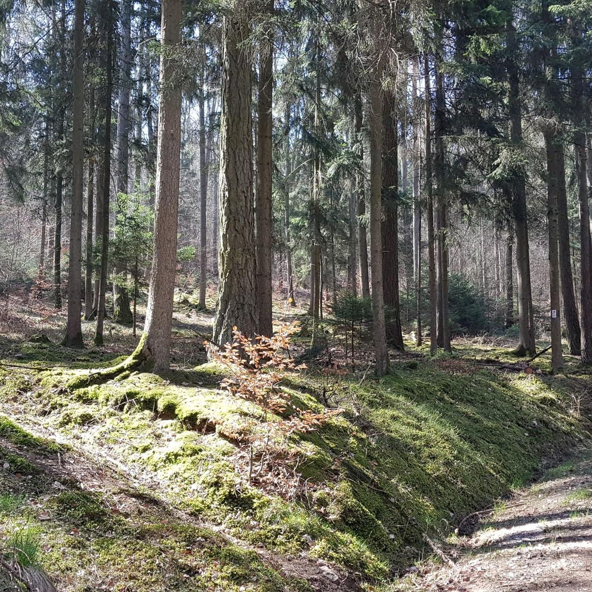
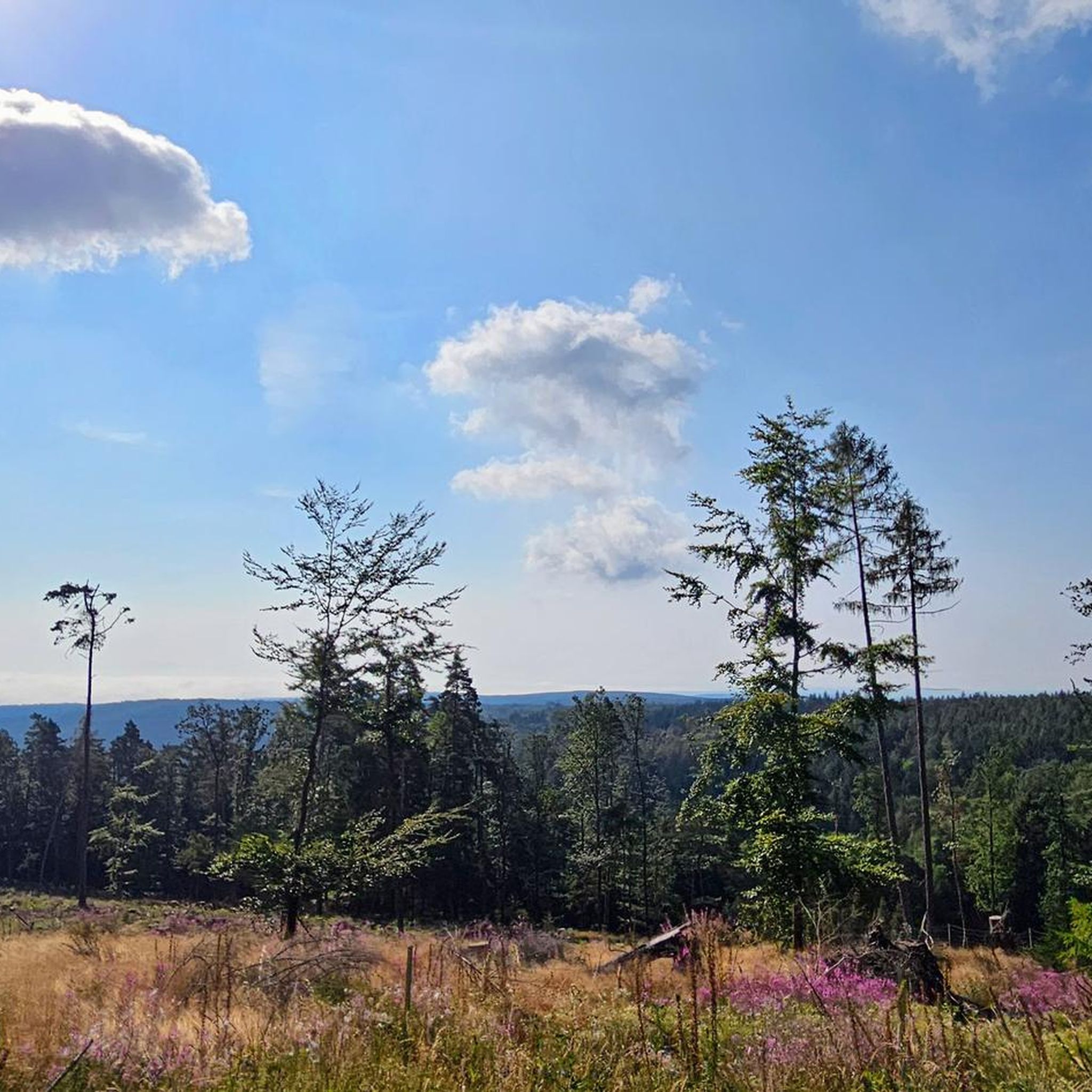
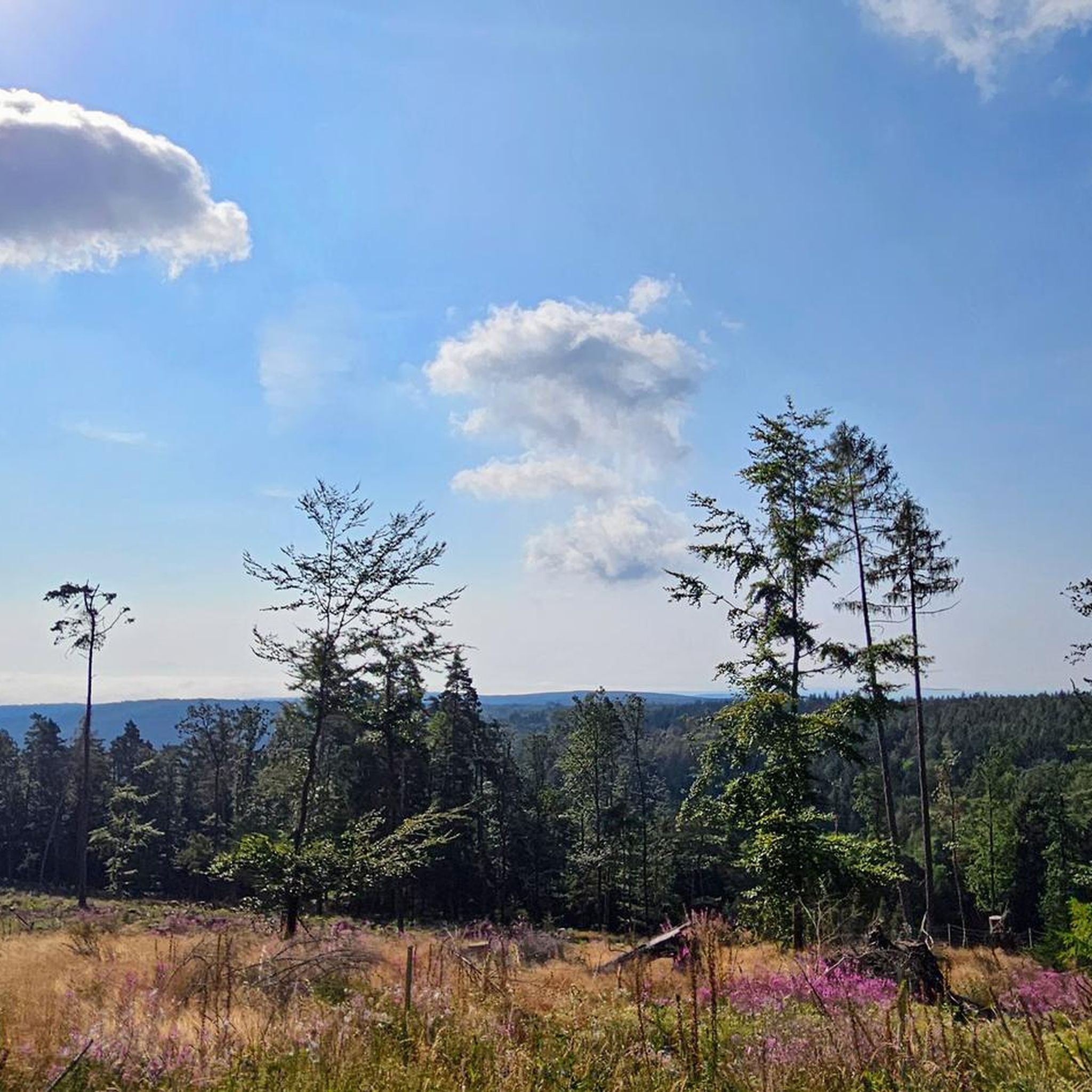
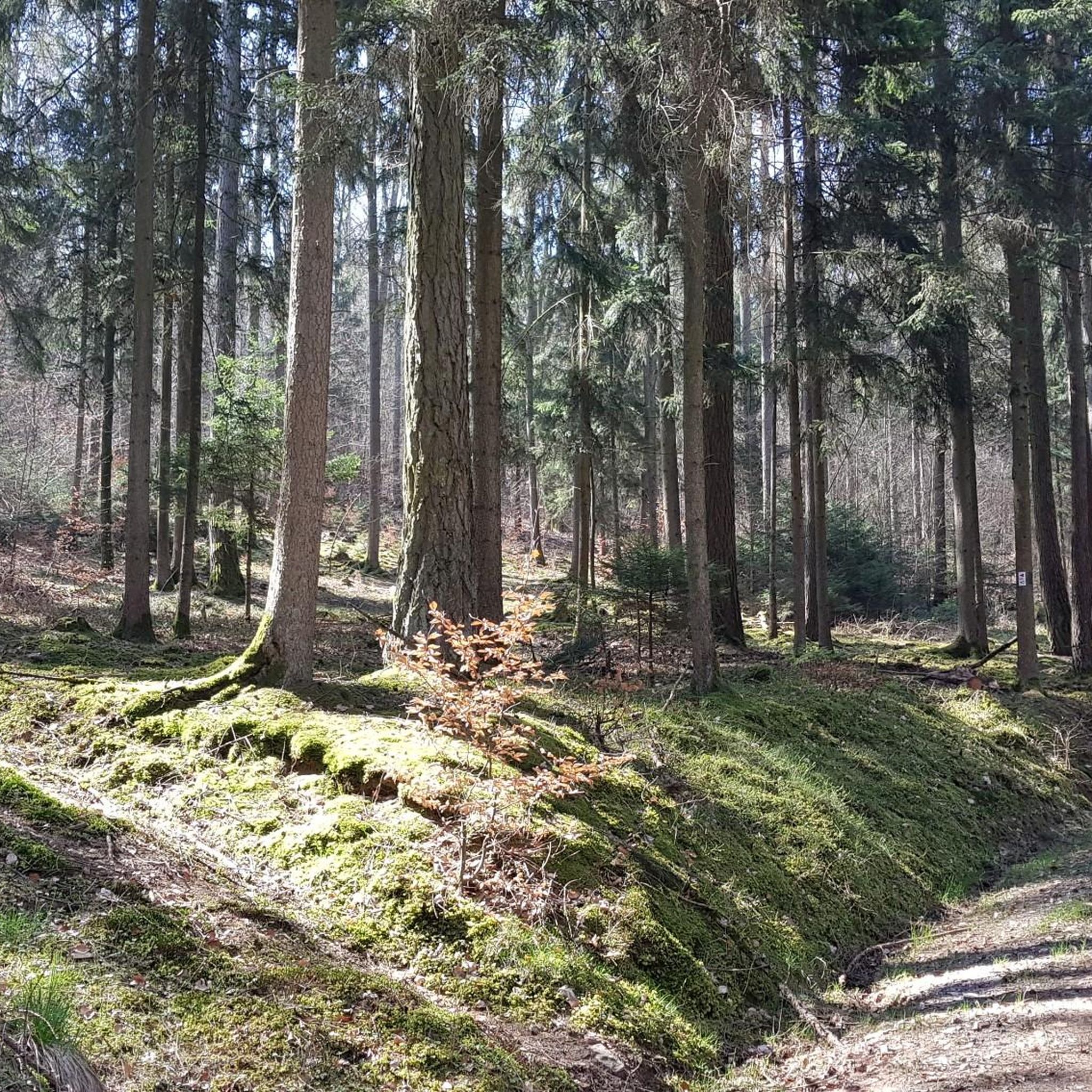
Hiking around Burgwallbacher Forst is characterized by its extensive forested areas within the Bavarian Rhön Nature Park. The region features varied terrain with elevations reaching up to 627 meters above sea level, offering diverse hiking experiences. Natural attractions include the idyllic Burgwallbach Lake and panoramic viewpoints like the "View of the Three Crosses." This area provides a range of hiking trails suitable for different fitness levels.
Best hiking trails around Burgwallbacher Forst
- The most popular hiking route is On the…
Last updated: August 21, 2026
4.8
(34)
132
hikers
12.5km
03:44
380m
380m
Moderate hike. Good fitness required. Easily-accessible paths. Suitable for all skill levels.
4.6
(26)
94
hikers
10.3km
02:51
180m
180m
Moderate hike. Good fitness required. Easily-accessible paths. Suitable for all skill levels.

Sign up for free
4.9
(14)
50
hikers
18.7km
05:22
450m
450m
Hard hike. Very good fitness required. Easily-accessible paths. Suitable for all skill levels.
4.4
(14)
40
hikers
6.55km
01:52
150m
150m
Easy hike. Great for any fitness level. Easily-accessible paths. Suitable for all skill levels.
4.8
(6)
25
hikers
8.74km
02:36
270m
270m
Moderate hike. Good fitness required. Easily-accessible paths. Suitable for all skill levels.
Get access to more routes and recommendations from other explorers.
Sign up for free
Already have an account?
Our route recommendations are based on thousands of hikes, rides, and runs completed by other people on komoot.
Start today with a free account
Your next adventure awaits.
Login or Signup


Tips from the Community

Funny, funny, funny, funny …
0
0

Beautiful panoramic view of Bischofsheim and the Wasserkuppe. A spur path leads to this viewpoint with seating.
1
0

On the mountain of the Franks, in the monastery there is everything for body and soul.
0
0
The Kreuzberg is the biggest visitor magnet in the Bavarian Rhön. All year round, the Franciscan monastery Kreuzberg with its monastery beer attracts holidaymakers from near and far to the Holy Mountain of the Franconians. After a strengthening meal in the monastery tavern, the ascent to the summit of the Kreuzberg can be managed, from where you get a magnificent view into the Southern Rhön, the Hessian Rhön and the Thuringian Forest. Quelle: https://www.biosphaerenreservat-rhoen.de/mensch/tourismus-gastronomie-und-erholung/schaetze-der-rhoen/der-kreuzberg
1
0

An original photo stop with typical Rhön charm. Briefly stop, enjoy the view, and let the special atmosphere sink in – a little smile is almost mandatory here. 🚵♂️
0
0

Suitable for a break, not completely quiet
0
0


Currently closed. We're currently undergoing renovations and will likely reopen in mid-2026. If you have any news, please add it as a tip :)
1
0
Frequently Asked Questions
How many hiking trails are available in Burgwallbacher Forst?
Burgwallbacher Forst offers a vast network of hiking trails, with over 1300 routes recorded on komoot. This includes a wide variety of options, from easy strolls to challenging full-day hikes, ensuring there's something for every fitness level.
What types of landscapes can I expect to see while hiking in Burgwallbacher Forst?
The region is characterized by extensive, lush forests within the Bavarian Rhön Nature Park. You'll encounter varied terrain with elevations reaching up to 627 meters above sea level, offering diverse hiking experiences. Natural features include the idyllic Burgwallbach Lake and several panoramic viewpoints.
Are there any easy, family-friendly hiking routes in Burgwallbacher Forst?
Yes, Burgwallbacher Forst has over 700 easy routes, many of which are suitable for families. A good option is the Hirschpfad Trail – Kneipp basin in Liesbach Valley loop from Burg Wallpach, an easy 6.5 km trail that takes about 1 hour 51 minutes to complete, leading through pleasant forested areas.
Can I bring my dog on the hiking trails in Burgwallbacher Forst?
Generally, dogs are welcome on the hiking trails in Burgwallbacher Forst. As part of the Bavarian Rhön Nature Park, it's always recommended to keep your dog on a leash, especially in areas with wildlife or near other hikers, to ensure a pleasant experience for everyone.
Are there any circular hiking routes in the area?
Many of the trails in Burgwallbacher Forst are designed as circular routes, allowing you to start and end at the same point. For example, the moderate Burgwallbach Lake loop from Burgwallbach is a popular 10.2 km circular path that offers scenic views with less elevation gain.
What are some notable landmarks or viewpoints to discover?
Hikers can enjoy several scenic vistas, such as the "View of the Three Crosses (Dreikreuze)," which offers a beautiful perspective of the valley. The Kreuzberg Monastery is another significant landmark, often included in longer routes like the On the Kreuzberg – Kreuzberg Monastery loop from Unterweißenbrunn.
Is there a lake where I can relax after a hike?
Yes, the Burgwallbacher See (Burgwallbach Lake) is an idyllic bathing lake, especially popular during summer. It features a spacious sunbathing lawn and is continuously fed by fresh spring water. Facilities like showers, changing rooms, and toilets are available, making it a comfortable spot for relaxation.
What do other hikers say about the trails in Burgwallbacher Forst?
The routes in Burgwallbacher Forst are highly rated by the komoot community, with an average score of 4.6 stars from over 15,000 reviews. Hikers often praise the quiet woodlands, varied terrain, and the well-maintained paths that cater to different ability levels.
Are there any challenging hikes for experienced trekkers?
Absolutely. For experienced trekkers, Burgwallbacher Forst offers 78 difficult routes. An example is the Gemündener Hut – Kreuzberg Monastery loop from Burgwallbach, a challenging 21.8 km trail with significant elevation gain, leading to notable points of interest.
How can I access Burgwallbacher Forst using public transport?
While specific public transport routes directly into the heart of Burgwallbacher Forst can be limited, the region is generally accessible. It's advisable to check local bus schedules to nearby towns like Burgwallbach or Unterweißenbrunn, which often serve as starting points for many trails. From there, you might need to walk or arrange local transport to reach specific trailheads.
Are there places to eat or stay near the hiking trails?
Yes, there are options for refreshments and accommodation. You can find huts and restaurants like the Gemündener Hut or the Jagdschloss Holzberghof, which are popular stops for hikers. Nearby villages also offer guesthouses and cafes.
What is the best time of year to hike in Burgwallbacher Forst?
Burgwallbacher Forst is beautiful year-round, but the best time to hike generally depends on your preferences. Spring brings blooming flora, summer offers pleasant temperatures for lake activities, and autumn showcases vibrant foliage. Winter hiking is also possible, though some trails might be more challenging due to snow or ice.
Most popular routes around Burgwallbacher Forst
Most popular attractions around Burgwallbacher Forst

Get inspired with the komoot mobile app


Explore more
Browse the best Hikes in other regions.
