The best running trails around Geiersnest West
4.0
(195)
1,375
runners
82
runs
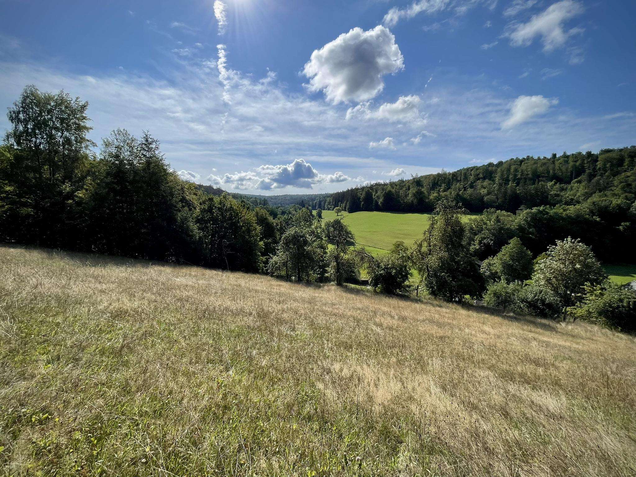
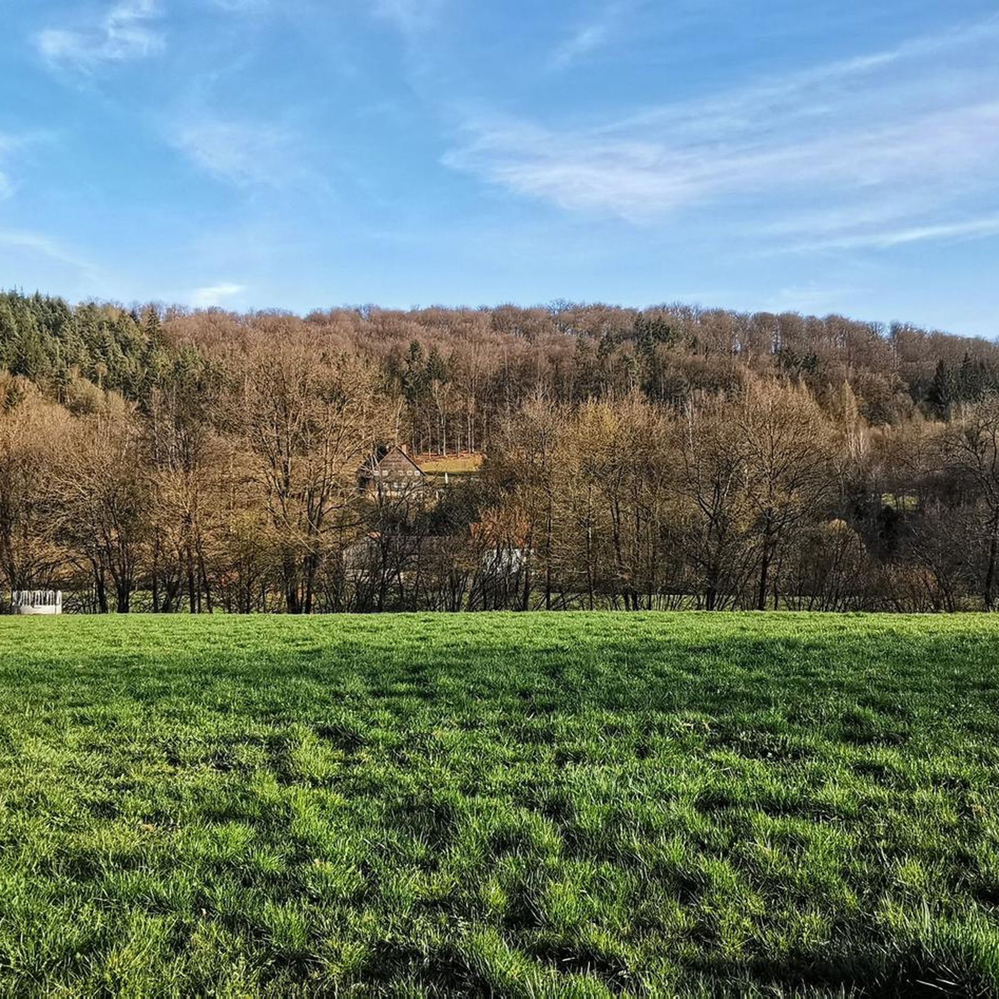
Jogging routes around Geiersnest West offer diverse landscapes within the scenic Black Forest region of Germany. The area is characterized by accessible trails, including those with wide gravel surfaces, suitable for various fitness levels. A notable feature is a treeless ridge that provides expansive views over the Rhine Rift Valley and the Vosges mountain range. This natural setting integrates forests, hills, and other formations, creating a varied environment for running.
Best jogging routes around Geiersnest West
- The most popular jogging…
Last updated: August 25, 2026
6
runners
9.69km
01:08
160m
160m
Moderate run. Good fitness required. Mostly paved surfaces. Suitable for all skill levels.
3.0
(13)
6
runners
8.49km
00:57
70m
70m
Moderate run. Good fitness required. Mostly paved surfaces. Suitable for all skill levels.

Sign up for free
5.0
(1)
5
runners
5.57km
00:36
80m
80m
Moderate run. Good fitness required. Mostly paved surfaces. Suitable for all skill levels.
5.0
(1)
5
runners
5.81km
00:38
80m
80m
Moderate run. Good fitness required. Mostly paved surfaces. Suitable for all skill levels.
3
runners
11.4km
01:13
170m
170m
Moderate run. Good fitness required. Mostly paved surfaces. Suitable for all skill levels.
Get access to more routes and recommendations from other explorers.
Sign up for free
Already have an account?
Our route recommendations are based on thousands of hikes, rides, and runs completed by other people on komoot.
Start today with a free account
Your next adventure awaits.
Login or Signup
Frequently Asked Questions
How many running routes are available in Geiersnest West?
There are over 70 dedicated running routes around Geiersnest West, catering to various fitness levels. You'll find a good mix, with about 9 easy routes, over 50 moderate options, and around 11 more challenging trails to explore.
What kind of terrain can I expect on the jogging trails in Geiersnest West?
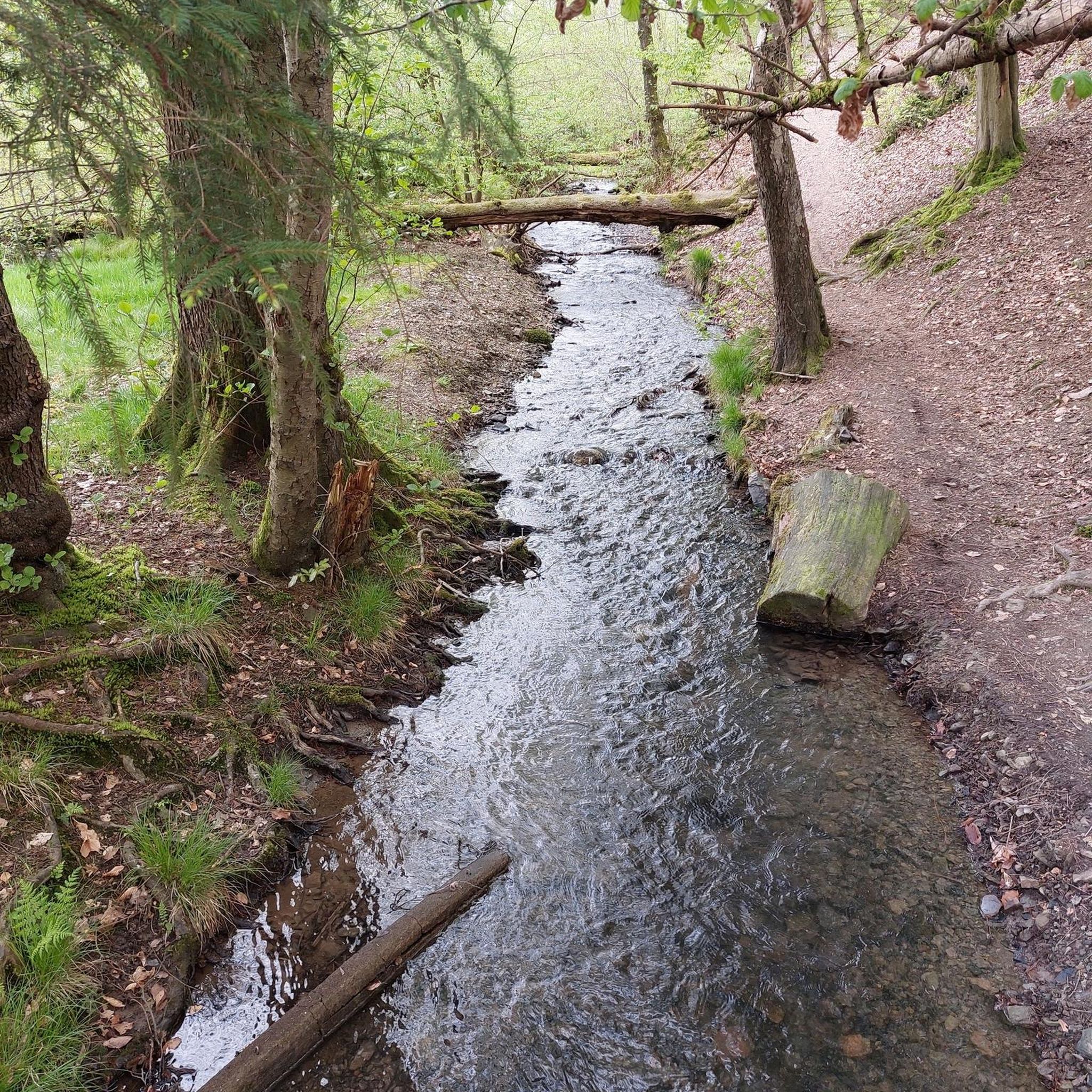
The jogging trails in Geiersnest West offer diverse landscapes. Many paths feature wide gravel surfaces, making them accessible and comfortable for running. You can expect a mix of forest paths, open areas, and trails along treeless ridges that provide expansive views. The 'Geiersnest round' specifically is known for its manageable terrain with no significant climbs.
Are there any scenic viewpoints or natural landmarks along the running routes?
Absolutely! Geiersnest West, situated in the Black Forest, is rich in natural beauty. Many routes offer panoramic views, especially from the treeless ridges overlooking the Rhine Rift Valley and the Vosges mountain range. You might also encounter highlights like the Dreistelzturm Observation Tower, or natural features such as the Basalt Lake Tintenfass and the Bad Brückenau Spa Park in the wider region.
What do other runners enjoy most about jogging in Geiersnest West?
The komoot community highly rates the running experience in Geiersnest West, with an average score of 4.1 stars from over 100 reviews. Runners often praise the diverse landscapes, the accessible trails, and the stunning panoramic views from the treeless ridges. The variety of routes, from easy to challenging, is also a frequently mentioned positive aspect.
Are there any family-friendly running routes suitable for all ages?
Yes, many of the routes in Geiersnest West are suitable for families. The 'Geiersnest round' is particularly noted for its manageable terrain and lack of significant climbs, making it enjoyable for various fitness levels, including those jogging with children. Look for the 'easy' graded routes on komoot for the most family-friendly options.
Can I bring my dog on the running trails in Geiersnest West?
Generally, dogs are welcome on most trails in the Geiersnest West area. However, it's always recommended to keep your dog on a leash, especially in nature reserves, near wildlife, or when passing through agricultural areas. Please be mindful of local regulations and other trail users.
What is the best time of year to go jogging in Geiersnest West?
Geiersnest West offers enjoyable running conditions throughout much of the year. Spring and autumn provide pleasant temperatures and beautiful scenery with blooming flora or vibrant fall colors. Summer is also great, especially in the cooler forest sections. While winter running is possible, be prepared for potentially snowy or icy conditions, particularly at higher elevations.
Are there circular running routes available?
Yes, many of the running routes in Geiersnest West are designed as circular loops, allowing you to start and end at the same point. Popular examples include the Running loop from Schönderling and the Running loop from Oberleichtersbach, which are favorites among local runners.
Where can I find parking near the running trails?
Parking is generally available near the starting points of many popular running routes in and around Geiersnest West. Specific parking information can often be found on individual route pages on komoot, or by checking local signage in villages like Schönderling, Oberleichtersbach, or Detter, which serve as common access points.
Are there any cafes or places to get refreshments near the jogging routes?
While the immediate trails are natural, you can find cafes and pubs in the nearby villages surrounding Geiersnest West, such as Schondra, Unterleichtersbach, and Oberleichtersbach. These villages offer opportunities for refreshments before or after your run.
What are some longer running options for experienced runners?
For experienced runners looking for a longer challenge, the Running loop from Detter is a great option, covering over 7 miles (11.4 km) through varied landscapes. You can also combine shorter loops or explore some of the 11 'difficult' graded routes for more demanding runs.
Most popular attractions around Geiersnest West

Get inspired with the komoot mobile app


Explore more
Browse the best Running Trails & Routes in other regions.
