The best cycling routes around Geiersnest West
4.5
(938)
4,237
riders
265
rides
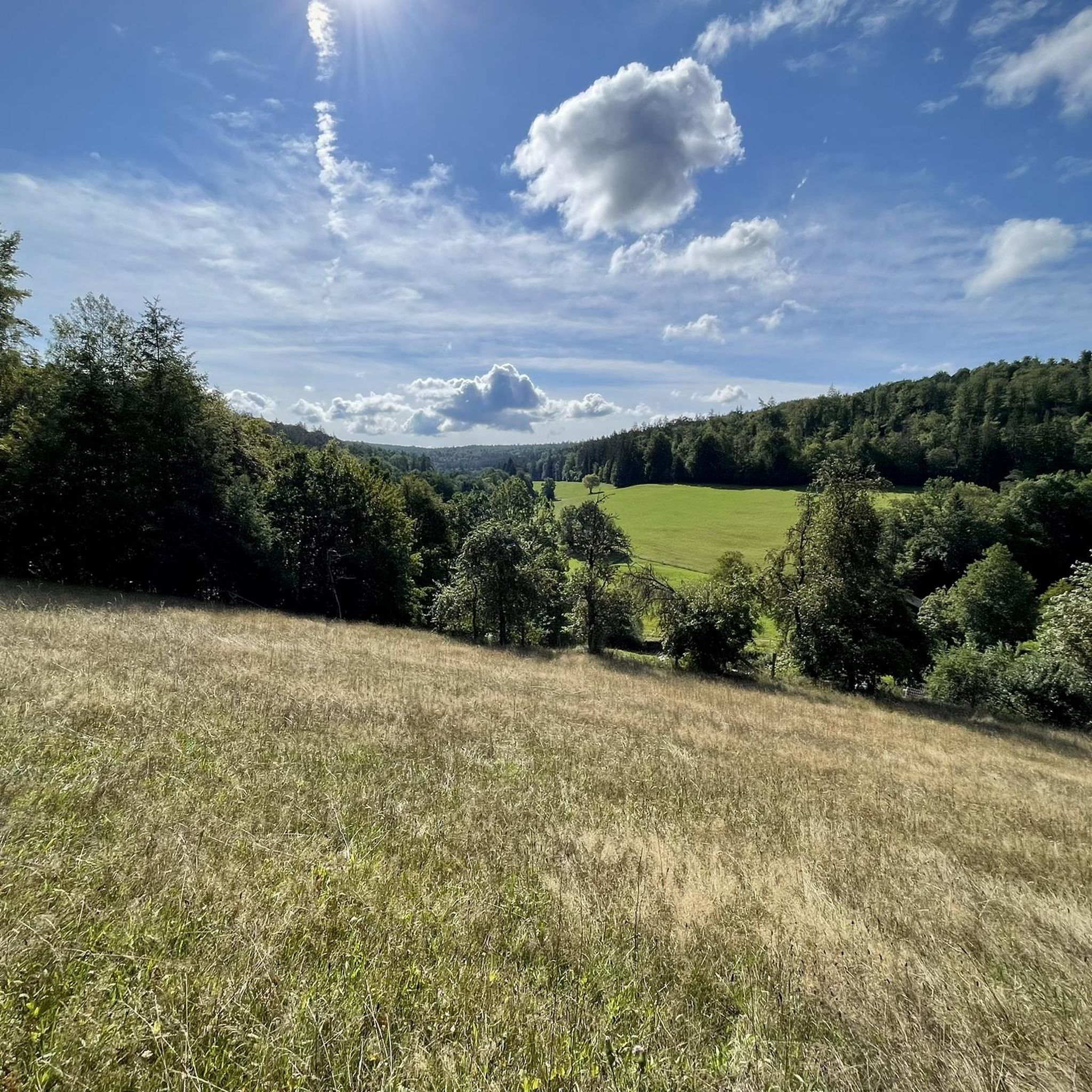
Touring cycling routes around Geiersnest West are situated within an uninhabited, forested area in the Bavarian Rhön region of Germany. The landscape is characterized by dense woodlands and rolling hills, with the Apfelberg reaching 424 meters above sea level. Routes often follow riverbanks, such as the Saale, and traverse valleys, offering varied terrain for cyclists.
Best touring cycling routes around Geiersnest West
- The most popular touring cycling route is Four transport routes on the banks of the Saale loop from…
Last updated: August 24, 2026
4.5
(12)
44
riders
55.7km
04:24
690m
690m
Hard bike ride. Very good fitness required. You may need to push your bike for some segments of this route.
4.9
(9)
24
riders
Hard bike ride. Very good fitness required. Mostly paved surfaces. Suitable for all skill levels.

Sign up for free
5.0
(1)
19
riders
Moderate bike ride. Good fitness required. Mostly paved surfaces. Suitable for all skill levels.
3.7
(6)
16
riders
24.7km
01:46
400m
400m
Moderate bike ride. Good fitness required. Mostly paved surfaces. Suitable for all skill levels.
5.0
(4)
18
riders
16.0km
01:08
150m
150m
Easy bike ride. Great for any fitness level. Mostly paved surfaces. Suitable for all skill levels.
Get access to more routes and recommendations from other explorers.
Sign up for free
Already have an account?
Our route recommendations are based on thousands of hikes, rides, and runs completed by other people on komoot.
Start today with a free account
Your next adventure awaits.
Login or Signup
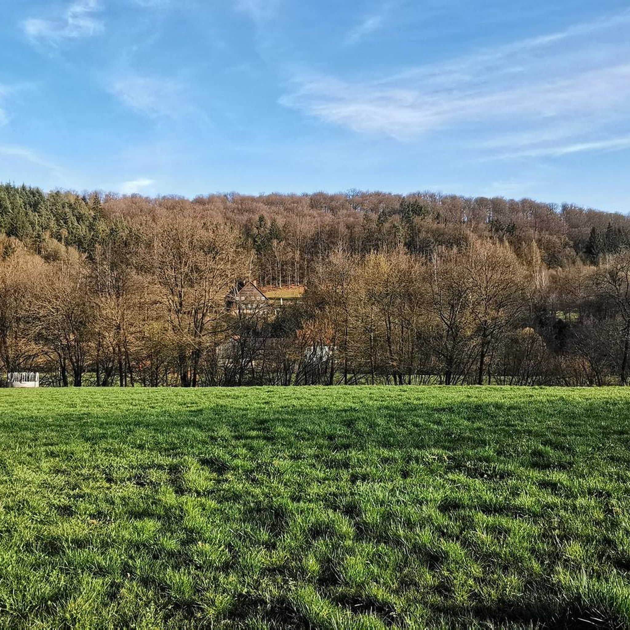
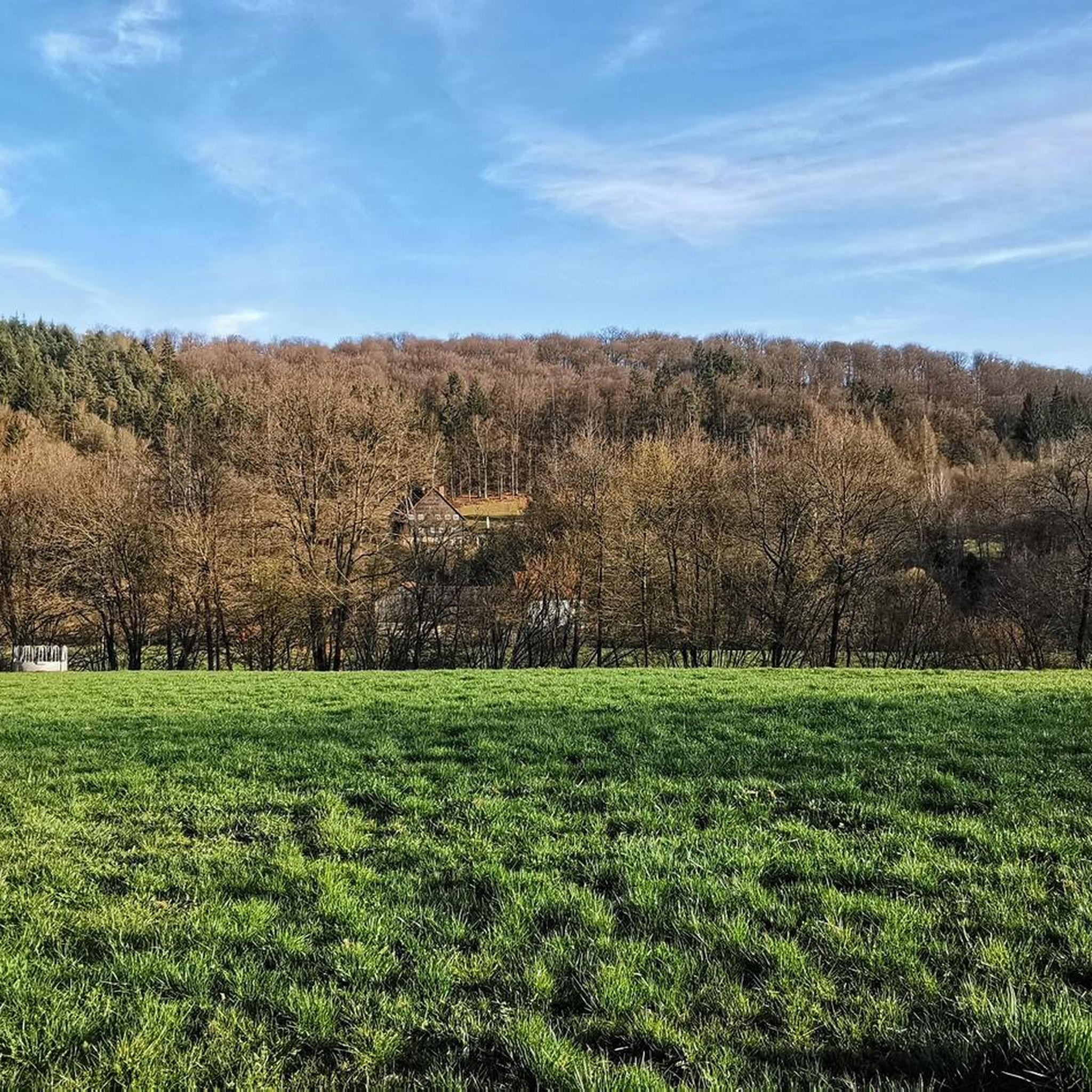
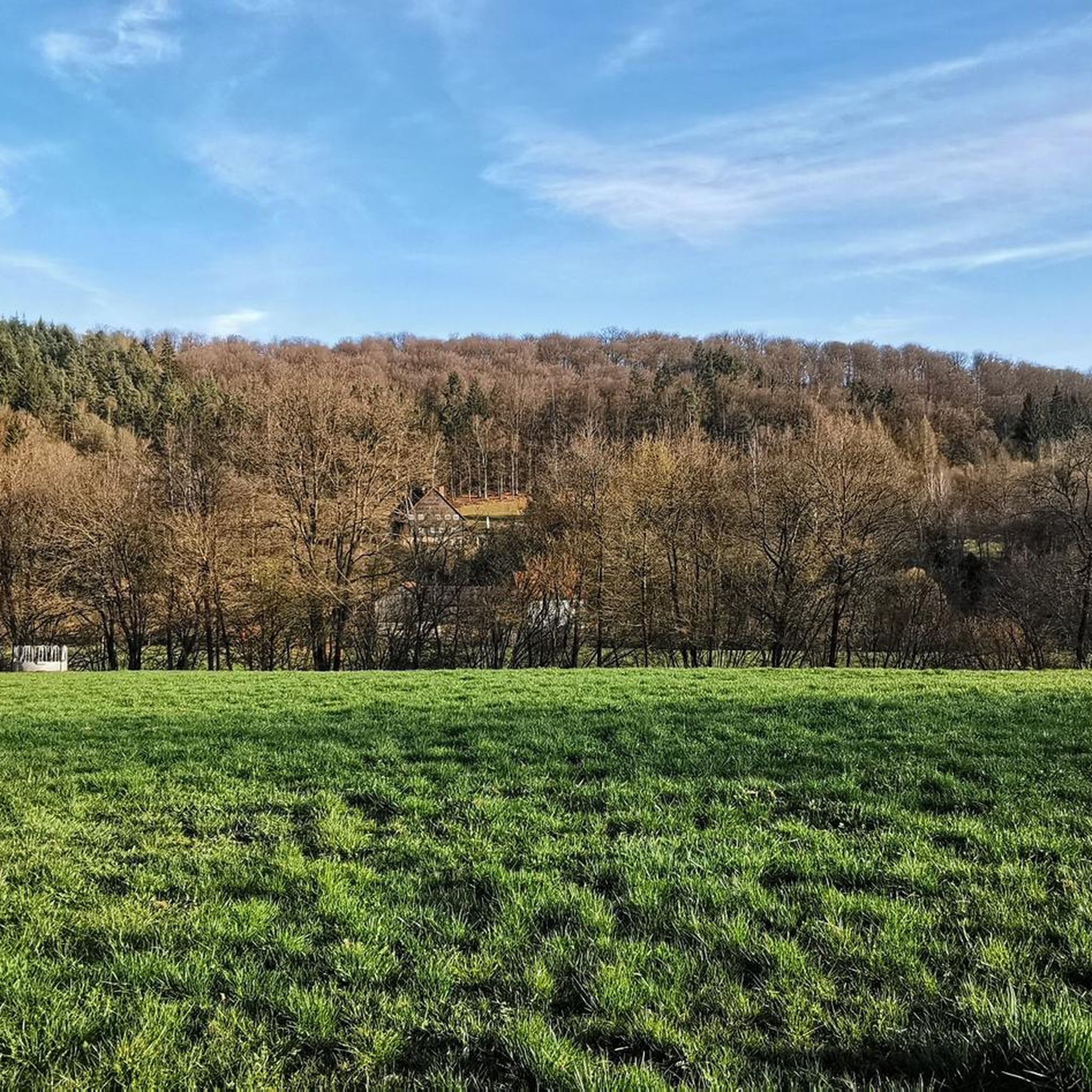
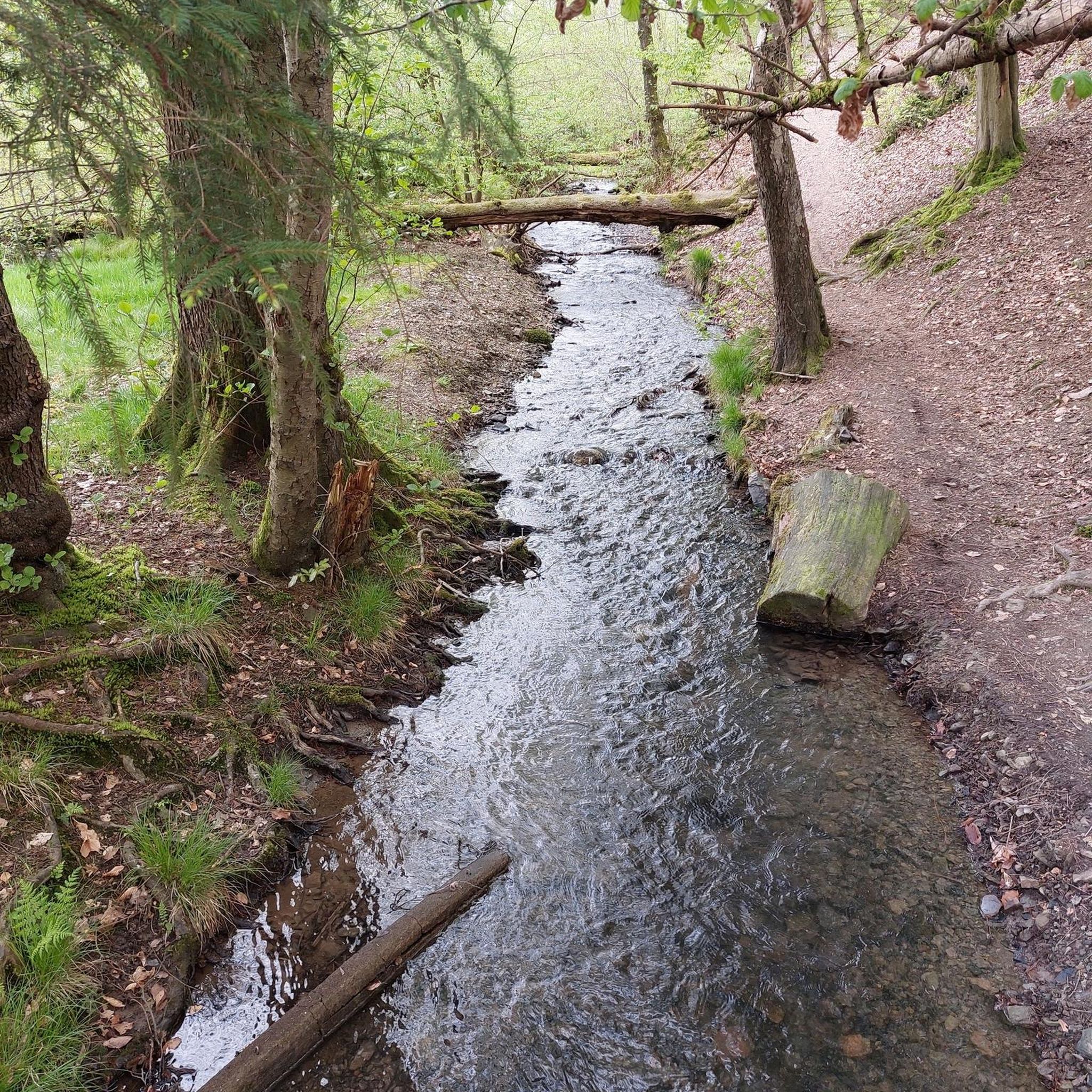
Tips from the Community

The path is really fun and offers great views
0
0

Extremely beautiful path along the Saale.
0
0

Nice path in the shade (it was just over 30°C in the sun)
0
0

Former section of the HaFraBa motorway (Hamburg-Frankfurt-Basel, forerunner of today's A7 and A5 motorways) planned in the 1920s. This section was never completed and was later replaced by the current route a little further east.
0
0

Saaletal with Thulbatal nature nearby and is located in the Franconian Trockenplatte not far from my home Gasthof Kessler
0
0

Forgotten Autobahn 46
0
1

A beautiful cycle path through Hassenbach
1
0
Frequently Asked Questions
What are the typical characteristics of touring cycling routes in Geiersnest West?
Touring cycling routes in Geiersnest West are primarily set within an uninhabited, forested area of the Bavarian Rhön. You can expect dense woodlands, rolling hills, and routes that often follow riverbanks, such as the Saale, or traverse valleys like the Oehrbach Valley. The landscape offers varied terrain, with the highest point being the Apfelberg at 424 meters above sea level.
What are the difficulty levels of touring cycling routes in Geiersnest West?
Geiersnest West offers a good range of routes for various skill levels. There are over 50 easy routes, more than 120 moderate routes, and over 100 difficult routes available, ensuring options for beginners to experienced touring cyclists.
Are there options for shorter or longer touring bike rides?
Yes, you can find routes of varying lengths. For a moderate ride, consider the View of the Rhön Mountains – View of Dreistelz loop from Dreistelzer Forst, which is about 24 km. If you're looking for a longer, more challenging ride, the Four transport routes on the banks of the Saale loop from Detter covers approximately 55 km.
What kind of scenic viewpoints can I expect on the touring routes?
Many routes offer scenic views, particularly of the Rhön Mountains and river valleys. For example, the View of the Oehrbach Valley – Wakepark Thulba loop from Oberleichtersbach provides scenic vistas of the Oehrbach Valley. Other routes lead through forested areas with glimpses of the broader Rhön landscape.
What do other touring cyclists enjoy most about cycling in Geiersnest West?
The area is highly rated by the komoot community, with an average score of 4.6 stars from over 800 reviews. Reviewers often praise the varied terrain, the quiet woodlands, and the well-maintained paths that make for an enjoyable touring cycling experience.
Are there any circular touring bike routes available?
Yes, many routes are designed as loops, allowing you to start and end at the same point. An example is the Rhönexpress Rail Cycle Path – View of Dreistelz loop from Detter, which is a moderate circular route.
What can I see along the touring cycling routes in terms of attractions?
While the area is primarily natural, you can find interesting points of interest nearby. Consider visiting the Basalt Lake Tintenfass, the Bad Brückenau Spa Park, or the Rhönexpress Railway Cycle Path at Römershag. There are also several castles in the wider region, such as the Ruins of Schwarzenfels Castle.
Are there any easy touring bike routes suitable for beginners?
Yes, there are over 50 easy routes. An example of a less strenuous ride is the Bench at Schlosspark – Panoramic View Zeilofes loop from Detter, which is an easy 16 km route.
What kind of terrain can I expect on the touring bike trails?
The terrain is varied, ranging from flat sections along riverbanks to rolling hills within the dense woodlands. While many routes feature good road surfaces, some may include challenging passages with loose ground, especially on more difficult trails.
Is Geiersnest West a good destination for nature immersion and tranquility?
Absolutely. As an uninhabited, forested area, Geiersnest West offers a peaceful environment for touring cyclists. The low traffic on many routes allows for a quiet ride, perfect for enjoying the natural surroundings and listening to birdsong.
How many touring cycling routes are there in Geiersnest West?
There are over 270 touring cycling routes available in Geiersnest West, offering a wide variety of options for different preferences and skill levels.
Most popular attractions around Geiersnest West

Get inspired with the komoot mobile app


Explore more
Browse the best Cycling routes in other regions.
