The best mountain hikes around Forst Schmalwasser-Süd
3.0
(3)
11
hikers
4
hikes
Mountaineering routes around Forst Schmalwasser-Süd traverse a landscape characterized by dense forests, varied terrain, and notable peaks within the Landkreis Rhön-Grabfeld. The region features a network of trails, including those leading to mountain summits and through scenic valleys. Natural features like the Schmalwasser reservoir and various viewpoints contribute to the area's appeal for outdoor activities.
Best mountaineering routes around Forst Schmalwasser-Süd
- The most popular mountaineering route is Marienbrünnlein – Kreuzberg Summit loop from Unterweißenbrunn, an 8.5 miles (13.6 km)…
Last updated: July 2, 2026
5.0
(2)
6
hikers
13.6km
04:12
490m
490m
Moderate mountaineering route. Good fitness required. Easily-accessible paths. Suitable for all skill levels.
1.0
(1)
1
hikers
Moderate mountaineering route. Good fitness required. Easily-accessible paths. Suitable for all skill levels.

Sign up for free
2
hikers
Moderate mountaineering route. Good fitness required. Easily-accessible paths. Suitable for all skill levels.
2
hikers
Moderate mountaineering route. Good fitness required. Easily-accessible paths. Suitable for all skill levels.
Our route recommendations are based on thousands of hikes, rides, and runs completed by other people on komoot.
Start today with a free account
Your next adventure awaits.
Login or Signup
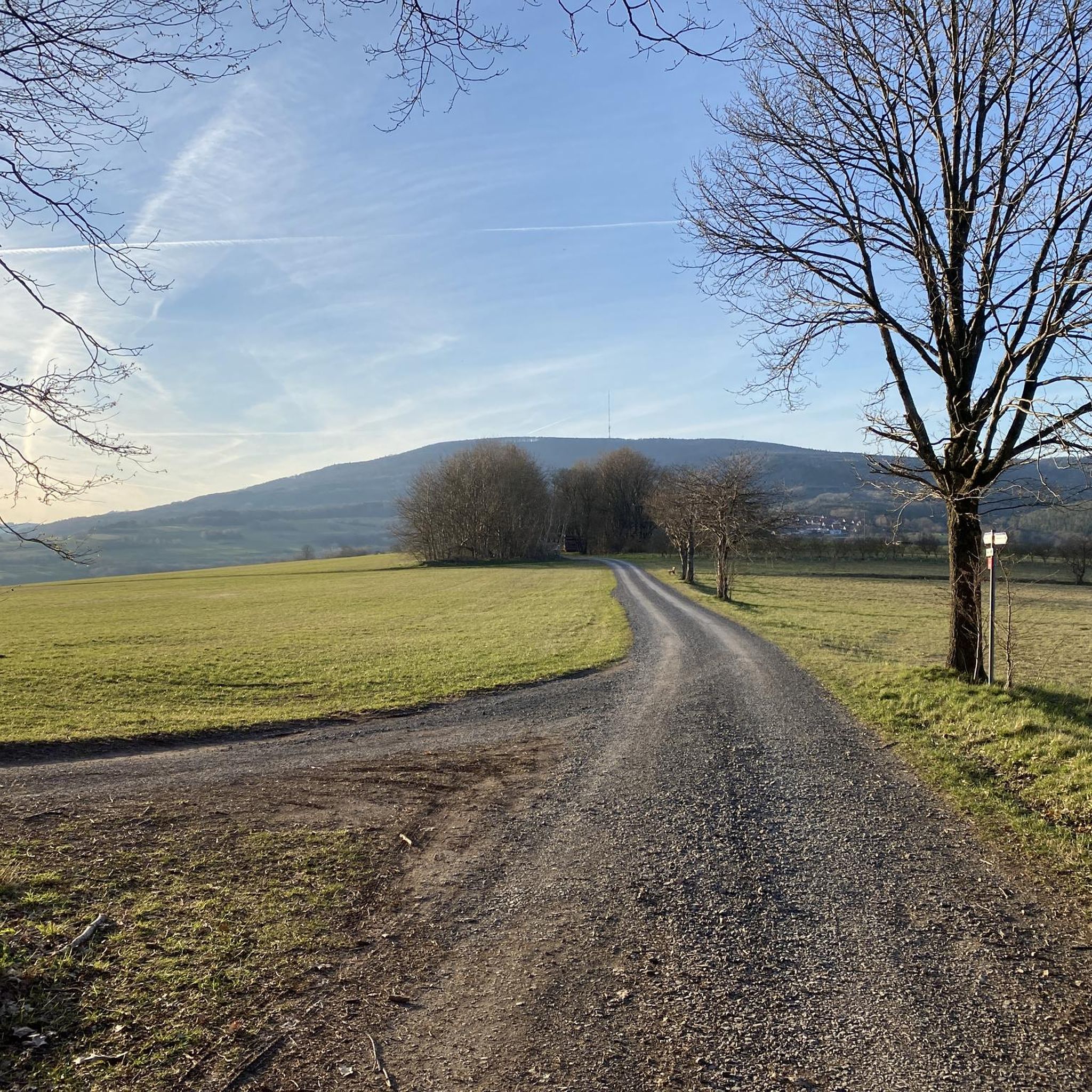
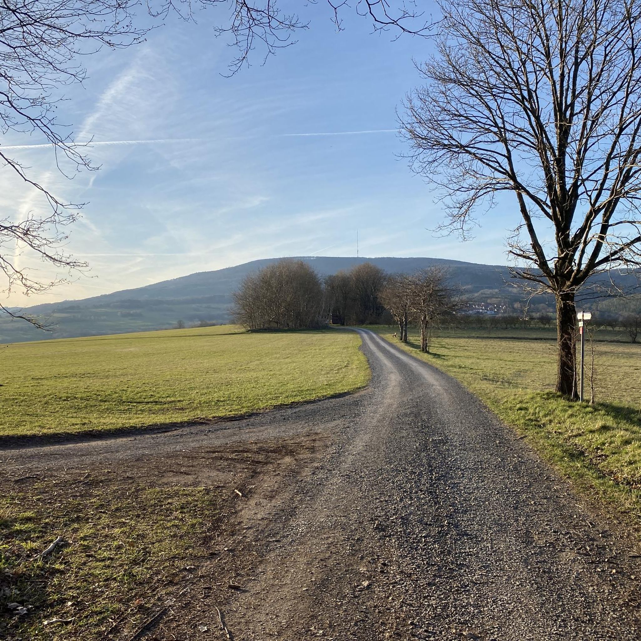
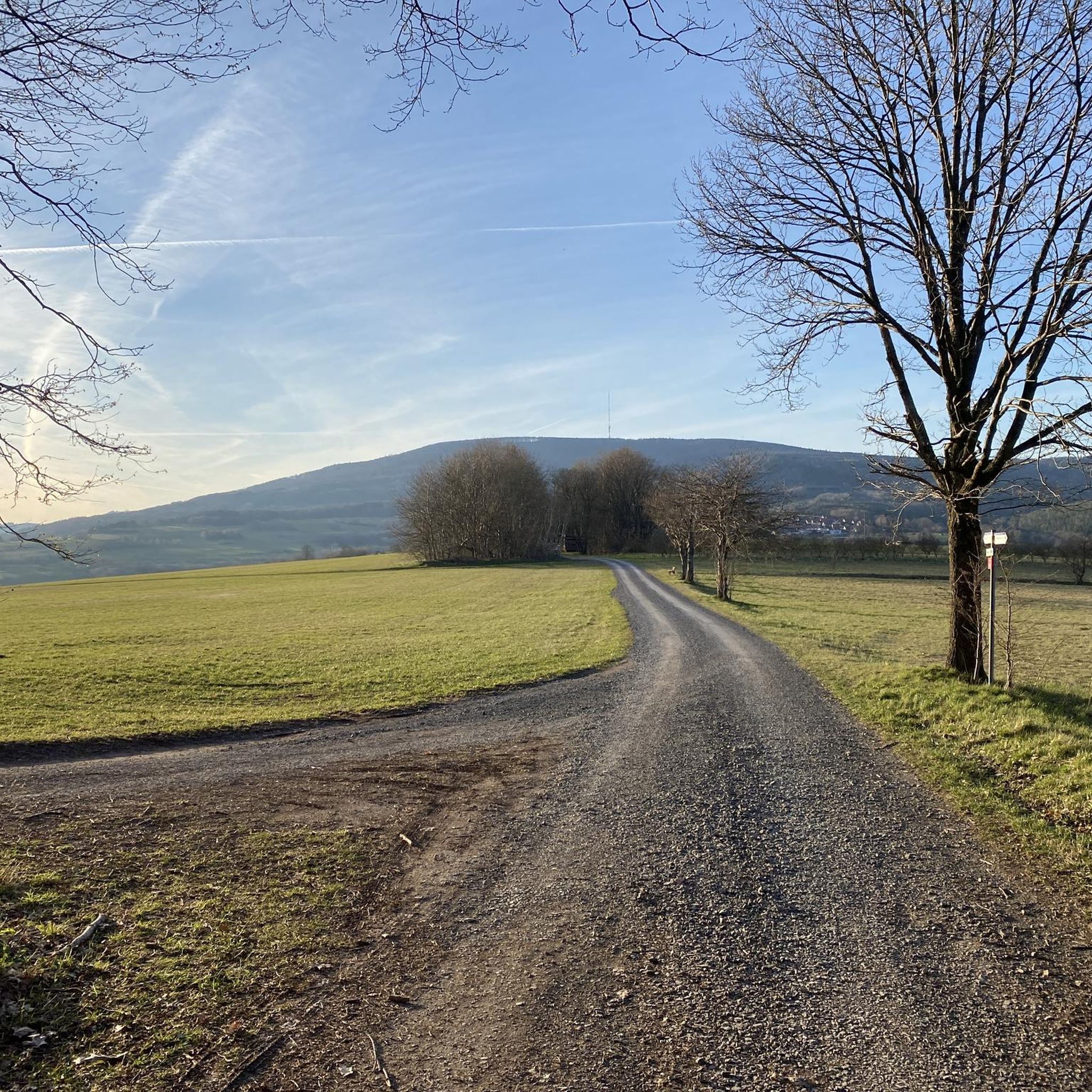
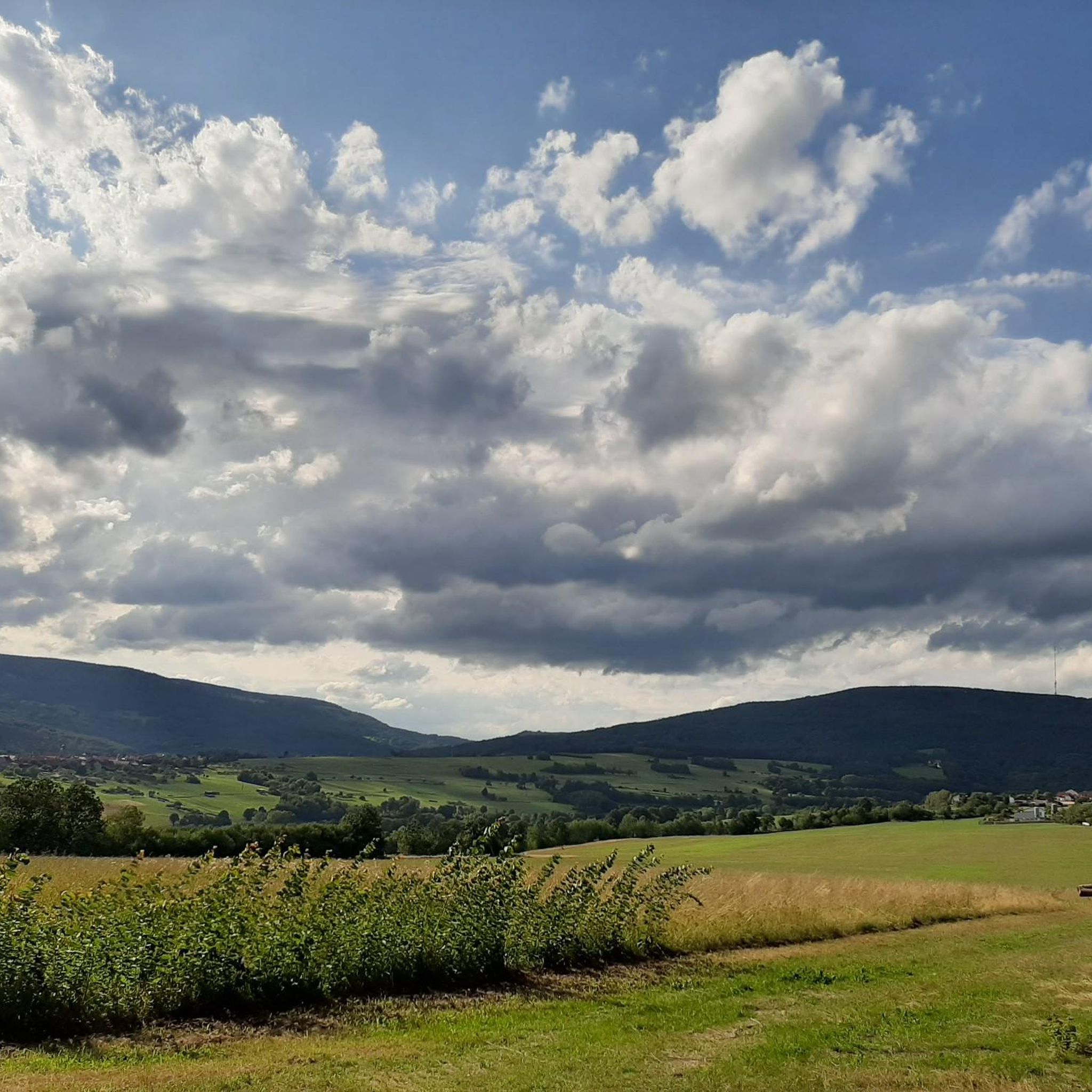
Tips from the Community

Great view from the Osterburg
0
0


You can stop by
3
0

Really nice and quiet in the morning. From 12pm onwards it is often very busy.
1
1

This small fountain is located on the way down from Kreuzberg to Neustädter Haus.
0
0

Very nice town with town hall.
5
0

Frequently Asked Questions
How many mountaineering routes are available in Forest Schmalwasser-Süd?
There are currently 4 mountaineering routes detailed in this guide for Forest Schmalwasser-Süd, offering diverse experiences within the region.
Are there any easy mountaineering routes for beginners in this area?
All mountaineering routes listed for Forest Schmalwasser-Süd are classified as moderate. While there are no 'easy' routes specifically, moderate routes can be suitable for beginners with a good basic fitness level and some prior hiking experience. For example, the View from the summit of Kreuzberg – Kreuzberg Monastery loop from Bischofsheim in der Rhön is the shortest at 4.4 miles (7.1 km) and offers a rewarding summit view.
What kind of terrain can I expect on the mountaineering routes?
The terrain around Forest Schmalwasser-Süd is characterized by dense forests, varied paths, and notable peaks. You'll encounter a mix of forest trails, paths leading to mountain summits, and scenic valleys. Some routes, like The steps up to Kreuzberg – Kreuzberg Monastery loop from Bischofsheim in der Rhön, even feature steps for ascents, indicating a diverse and engaging landscape.
Are there any circular mountaineering walks in Forest Schmalwasser-Süd?
Yes, all the mountaineering routes highlighted in this guide are circular walks, allowing you to start and end at the same point. This includes routes like the Marienbrünnlein – Kreuzberg Summit loop from Unterweißenbrunn, which offers a full loop experience.
What interesting landmarks or viewpoints can I find along the routes?
The region is rich in natural beauty and points of interest. You can find unique natural monuments like the Dancing Oak, and enjoy fantastic views, especially around the Schmalwasser reservoir. The Pfiffshütte is a mountain hut that can serve as a rest point, and the Sänner Chapel offers views of the Black Mountains.
Is Forest Schmalwasser-Süd suitable for family mountaineering?
While all routes are moderate, families with older children who have good fitness and some hiking experience may find suitable options. The shortest route, View from the summit of Kreuzberg – Kreuzberg Monastery loop from Bischofsheim in der Rhön, is 4.4 miles (7.1 km) and could be a good starting point for active families.
Are dogs allowed on the mountaineering trails in Forest Schmalwasser-Süd?
Generally, dogs are welcome on trails in this region. However, it's always advisable to keep them on a leash, especially in forested areas, near wildlife, or when passing through agricultural land. Please ensure you follow local regulations and clean up after your pet.
What is the best time of year for mountaineering in Forest Schmalwasser-Süd?
The region is enjoyable for mountaineering across multiple seasons. Spring and autumn offer pleasant temperatures and vibrant scenery, while summer provides longer daylight hours. Winter hiking is also possible, but conditions can vary, so checking local weather and trail conditions beforehand is crucial.
Where can I find parking near the mountaineering trailheads?
Parking is generally available near popular trailheads in the Forest Schmalwasser-Süd area. For routes starting near Bischofsheim in der Rhön or Unterweißenbrunn, you can typically find designated 'Wanderparkplätze' (hiking car parks). Specific parking details are often available on individual route pages or local tourism websites.
Can I reach the mountaineering routes using public transport?
Public transport options exist to reach towns like Bischofsheim in der Rhön or Gersfeld, which serve as starting points for many routes. From these towns, you might need to walk a short distance or use local bus services to reach specific trailheads. It's recommended to check local bus schedules for the most up-to-date information.
What do other mountaineers enjoy most about the routes in Forest Schmalwasser-Süd?
The routes in Forest Schmalwasser-Süd are highly rated by the komoot community, with an average score of 3.0 stars from 3 reviews. Mountaineers often praise the diverse trails, the rewarding ascents to peaks like Kreuzberg, and the scenic views, particularly those overlooking the Schmalwasser reservoir.
Are there any mountain huts or places to rest along the routes?
Yes, the region features facilities like the Pfiffshütte, a mountain hut that can provide a welcome stop during longer excursions. Additionally, various viewpoints and rest areas, such as the Stummelberg rest area, offer opportunities to pause and enjoy the surroundings.
Most popular routes around Forst Schmalwasser-Süd
Most popular attractions around Forst Schmalwasser-Süd

Get inspired with the komoot mobile app


Explore more
Browse the best Mountain Hikes & Routes in other regions.
