Forest Schmalwasser-Süd
Forest Schmalwasser-Süd
The best road cycling routes around Forst Schmalwasser-Süd
4.7
(339)
2,709
riders
138
rides
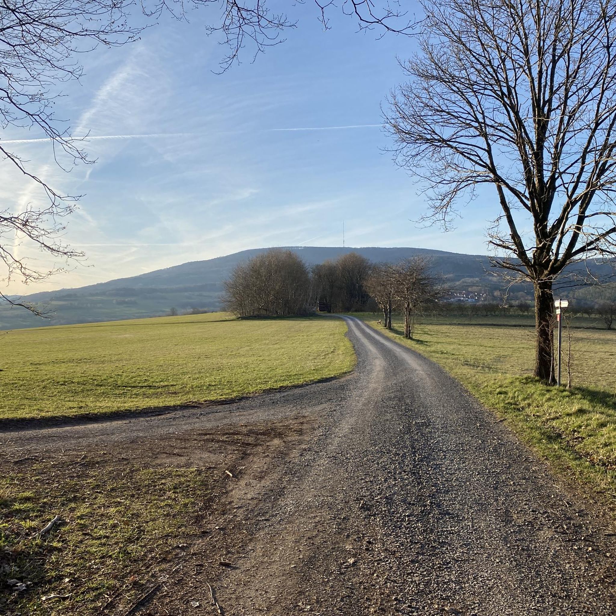
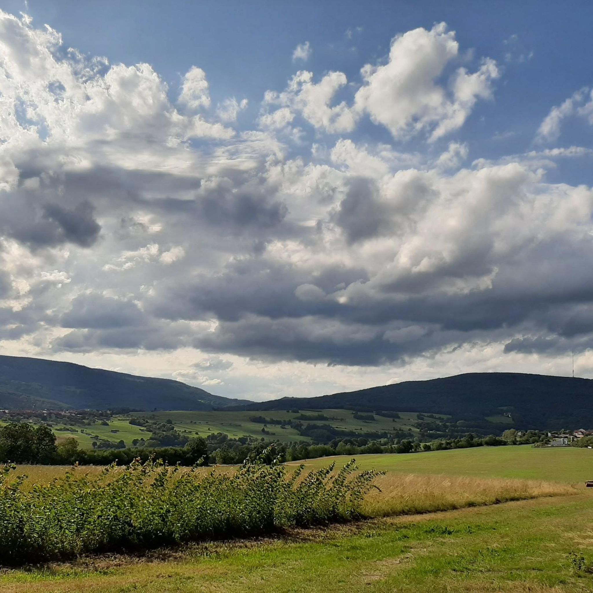
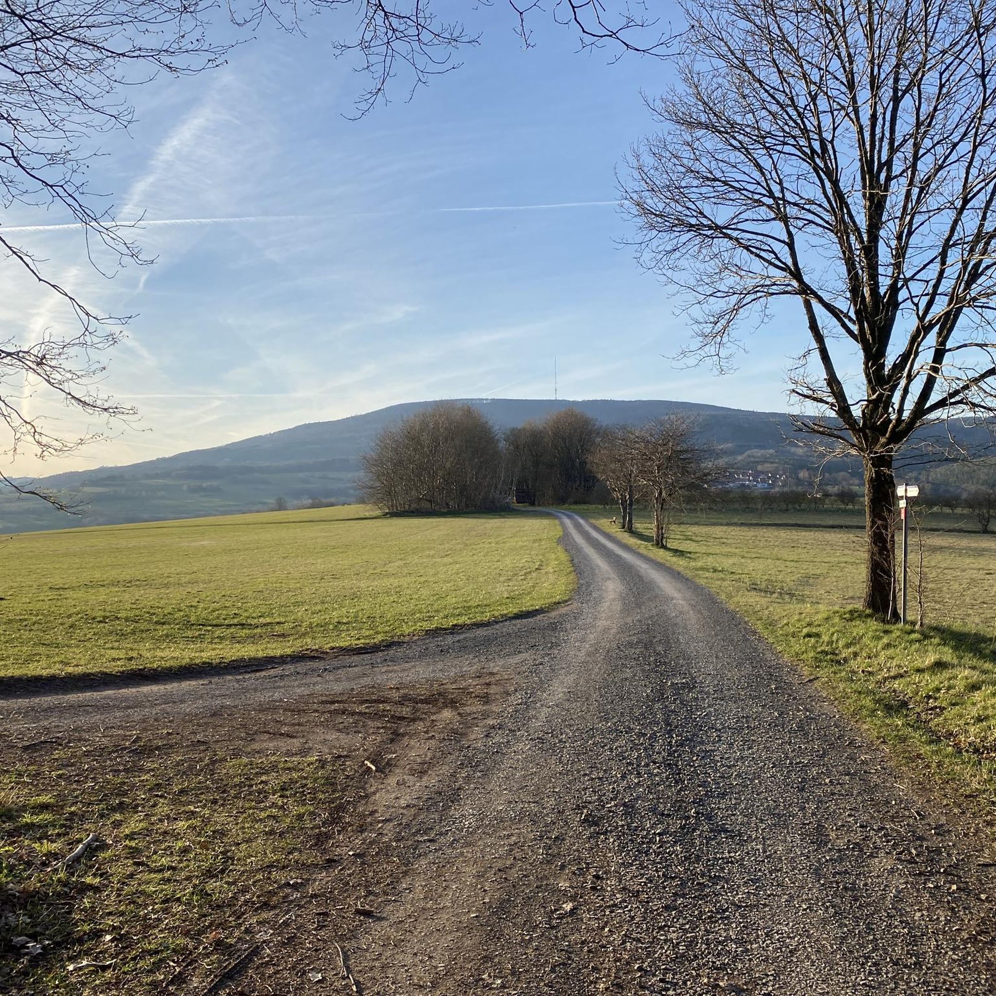
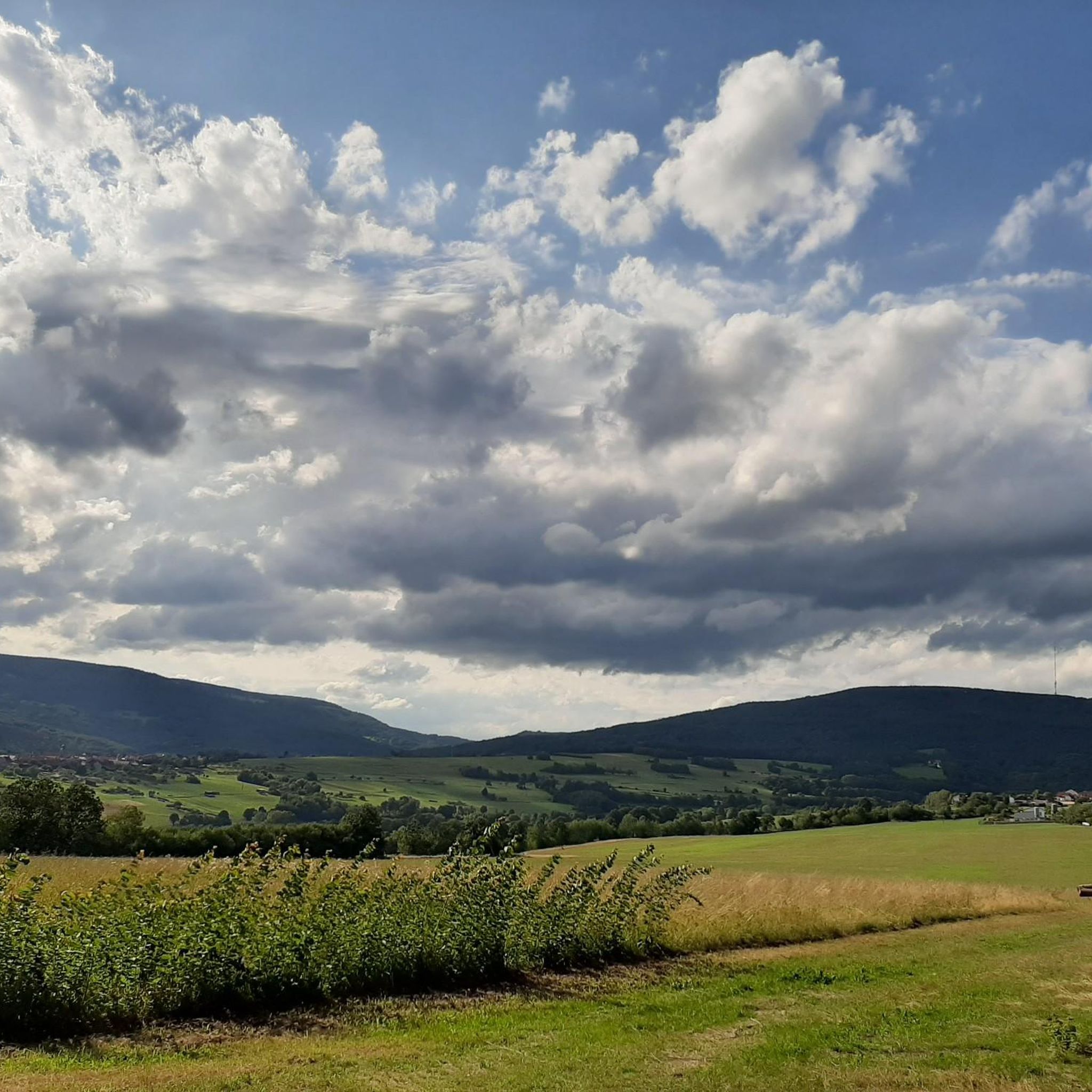
Road cycling routes around Forst Schmalwasser-Süd traverse a natural landscape characterized by forests and the broader Schmalwasser- Und Premichtal region. The area features varied topography, including sections with good road surfaces like the ST2267 Road Along the Premich. Road cyclists can expect a mix of routes, from those with moderate elevation gains to more challenging climbs. The region offers scenic routes through its natural features.
Best road cycling routes around Forst Schmalwasser-Süd
- The most popular road cycling route is Skatepark…
Last updated: May 24, 2026
5.0
(7)
49
riders
Moderate road ride. Good fitness required. Mostly well-paved surfaces and easy to ride.
4.8
(4)
28
riders
35.8km
01:58
730m
730m
Moderate road ride. Good fitness required. Mostly well-paved surfaces and easy to ride.

Sign up for free
5.0
(31)
6
riders
Moderate road ride. Good fitness required. Some segments of this route may be unpaved and difficult to ride.
3
riders
60.5km
03:20
1,270m
1,270m
Hard road ride. Very good fitness required. Mostly well-paved surfaces and easy to ride.
5.0
(1)
4
riders
Moderate road ride. Good fitness required. Some segments of this route may be unpaved and difficult to ride.
Get access to more routes and recommendations from other explorers.
Sign up for free
Already have an account?
Our route recommendations are based on thousands of hikes, rides, and runs completed by other people on komoot.
Start today with a free account
Your next adventure awaits.
Login or Signup

Tips from the Community

Since the road surface is no longer the old one, you don't have to be afraid of flying tar patches anymore :-)
0
0

The long climb makes you thirsty, a detour is also worthwhile for the roadrunners 🐯🚵👍
0
0


A great view of the Arnsberg, which unfortunately isn't accessible by road bike. But there are other bikes and hiking boots available.
0
0
Beautiful views into the distance and of the nearby Kreuzberg and Arnsberg mountains. Anyone who still has the energy at this point should tackle the last few meters to the Kreuzberg summit. The path is paved all the way to the summit, making it suitable for road bikes.
0
0

Unfortunately, it was closed where I was, but it's definitely worth a visit.
0
0

Here the old disused railway line had to make way for a cycle path.
1
0
It's a lot of fun and the traffic is limited.
1
0
Frequently Asked Questions
What kind of terrain can I expect on road cycling routes in Forest Schmalwasser-Süd?
The region offers a varied topography, characterized by natural landscapes and forests. You'll find sections with excellent road surfaces, such as the ST2267 Road Along the Premich, alongside routes that feature moderate elevation gains and some more challenging climbs. The area is part of the broader Schmalwasser- Und Premichtal region, providing diverse scenery.
Are there road cycling routes suitable for beginners or those looking for an easier ride?
Yes, Forest Schmalwasser-Süd offers a good selection of routes for various skill levels. Out of 140 total road cycling routes, 8 are classified as easy, and 84 are moderate. These routes typically feature less intense climbs and more gradual inclines, making them suitable for a relaxed ride.
What are some challenging road cycling routes for experienced riders in Forest Schmalwasser-Süd?
For experienced riders seeking a challenge, there are 48 difficult road cycling routes in the region. One notable option is the Rotes Moor – Franzosenweg Hochrhön loop from Naturpark Bayerische Rhön, which covers 37.6 miles (60.5 km) with a significant elevation gain of over 4,100 feet (1,270 m).
What are some interesting landmarks or natural features to see along the road cycling routes?
While cycling, you can discover several points of interest. The ST2267 Road Along the Premich is known for its beautiful and quiet stretches. You might also encounter natural monuments like the Dancing Oak, or historical sites such as the Sänner Chapel and View of the Black Mountains. These can add a cultural or scenic break to your ride.
Are there any circular road cycling routes in Forest Schmalwasser-Süd?
Many of the road cycling routes in Forest Schmalwasser-Süd are designed as loops, offering convenient circular tours. An example is the Steinach an der Saale – Heustreu–Bad Neustadt cycle path loop from Schmalwasser, a moderate 31.4-mile (50.5 km) route that provides a great circular experience.
What is the typical length of road cycling routes in this region?
The lengths of road cycling routes in Forest Schmalwasser-Süd vary significantly. You can find shorter routes, such as the Schmalwasser–Windshausen Road – Jakobs Brünnle loop from Naturpark Bayerische Rhön at 15.7 miles (25.3 km), as well as longer, more demanding tours like the Rotes Moor – Franzosenweg Hochrhön loop from Naturpark Bayerische Rhön, which is 37.6 miles (60.5 km) long.
What do other road cyclists say about the routes in Forest Schmalwasser-Süd?
The road cycling routes in Forest Schmalwasser-Süd are highly regarded by the komoot community, holding an average rating of 4.7 stars from over 330 reviews. Cyclists frequently praise the quiet roads, good surfaces, and the varied, scenic landscapes that make for an enjoyable riding experience.
Are there any family-friendly road cycling options in Forest Schmalwasser-Süd?
While specific 'family-friendly' designations for road cycling can depend on the family's experience, the region's 8 easy and 84 moderate routes offer plenty of options that could be suitable. Look for routes with lower elevation gains and good road surfaces for a more comfortable family outing.
What is the best time of year to go road cycling in Forest Schmalwasser-Süd?
The region's natural landscape, characterized by forests and open areas, is generally best enjoyed during spring, summer, and early autumn. These seasons typically offer pleasant temperatures and good road conditions. Winter cycling might be possible, but conditions can be more challenging due to colder weather and potential ice or snow.
Are there places to stop for refreshments or amenities along the routes?
The broader Schmalwasser- Und Premichtal region offers various amenities. While not explicitly detailed for every route, you may find places like the Pfiffshütte, or a Drinking Water Fountain in Naturpark Bayerische Rhön, which can serve as convenient stops for breaks and refreshments during your ride.
How many road cycling routes are there in total around Forest Schmalwasser-Süd?
There are over 140 road cycling routes available for exploration in and around Forest Schmalwasser-Süd, offering a wide range of options for different skill levels and preferences.
Most popular routes around Forst Schmalwasser-Süd
Most popular attractions around Forst Schmalwasser-Süd

Get inspired with the komoot mobile app


Explore more
Browse the best Road cycling routes in other regions.
