The best running trails around Wiesenfelden
4.8
(4)
91
runners
23
runs
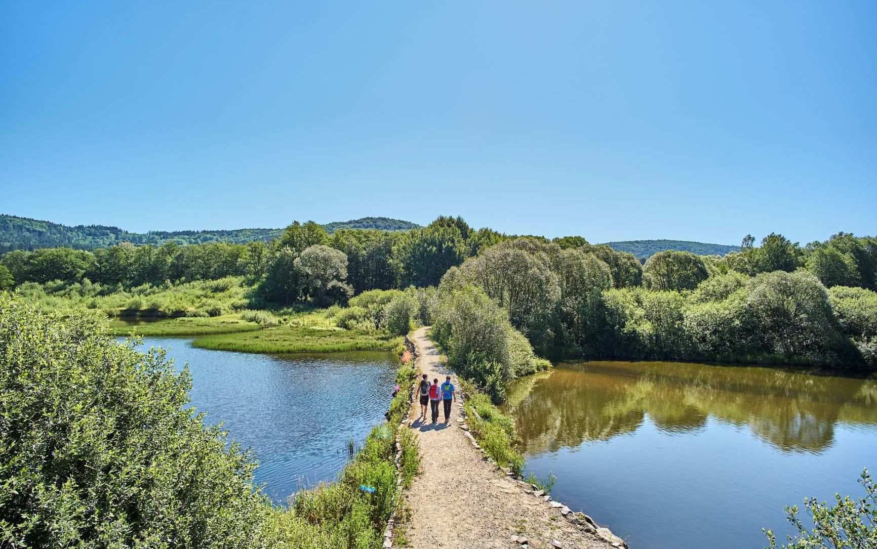
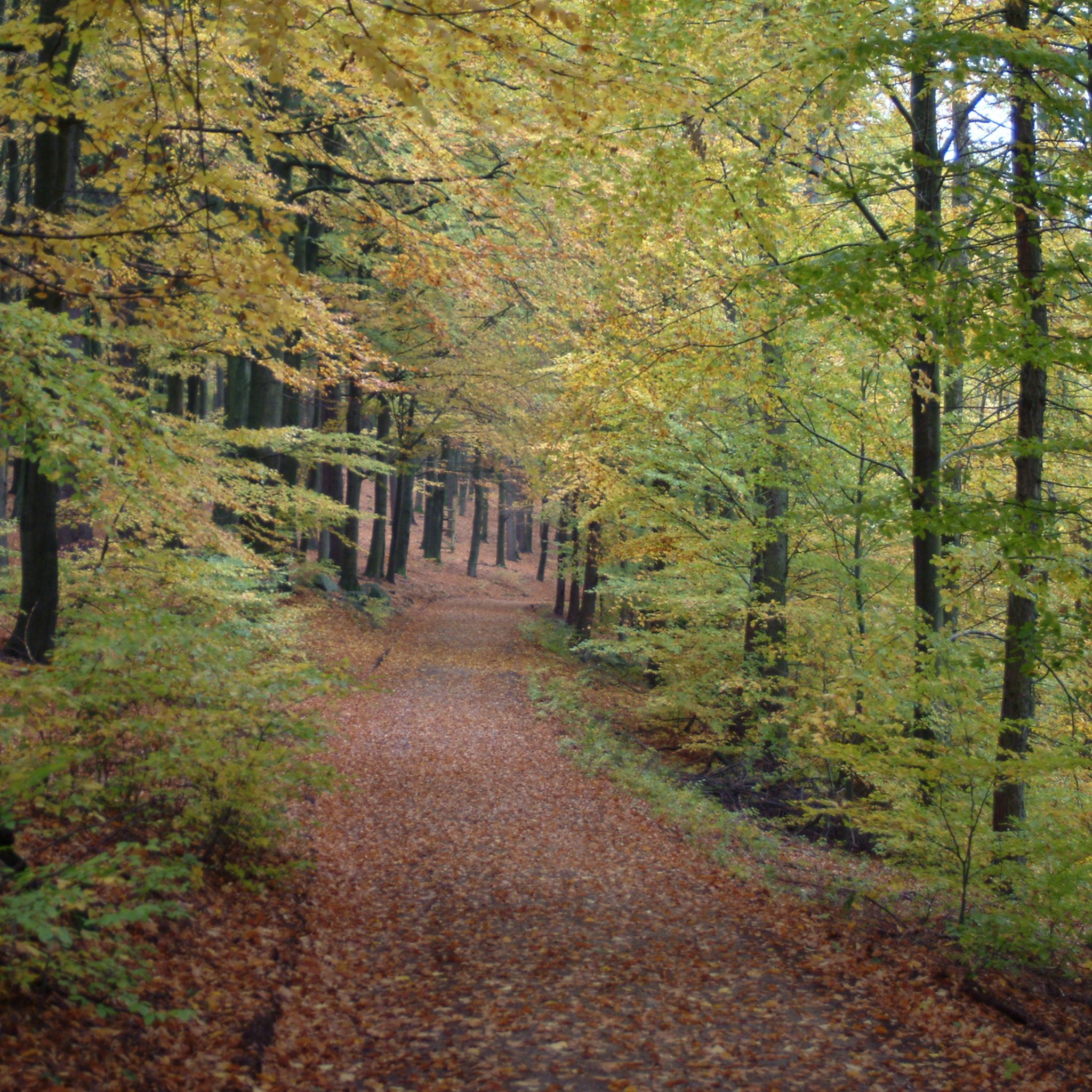
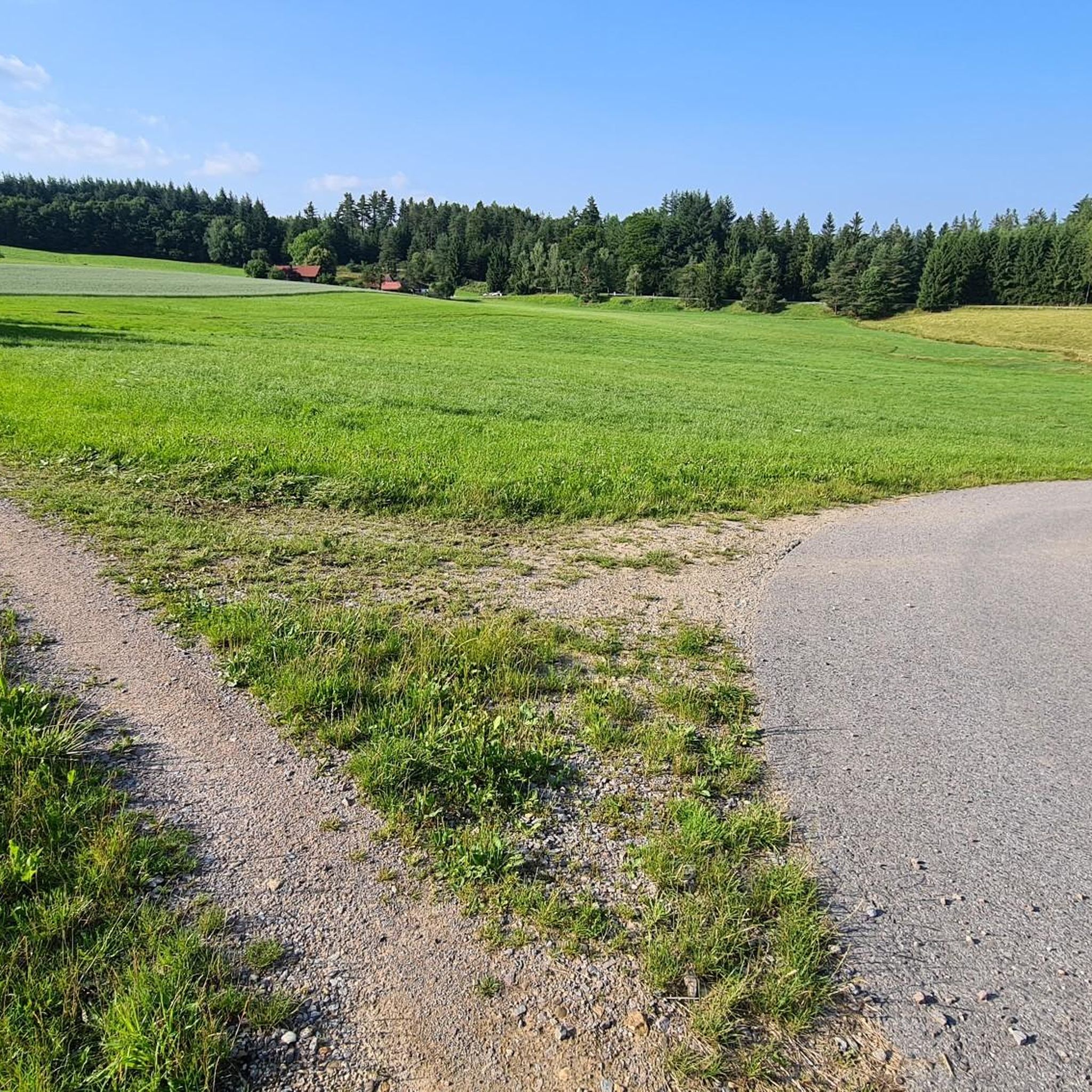
Jogging routes around Wiesenfelden traverse a diverse natural landscape on a high plateau in the Vorderer Bayerischer Wald. The region is characterized by an extensive network of trails, a unique pond landscape with features like the Beckenweiher, and vast forests. This varied terrain offers both relatively flat paths and routes with moderate elevation changes, providing options for different running preferences.
Best jogging routes around Wiesenfelden
- The most popular jogging route is Schiederhof Forest Inn loop from Brandmoos, a 2.7…
Last updated: October 9, 2026
10
runners
4.27km
00:27
50m
50m
Easy run. Great for any fitness level. Mostly paved surfaces. Suitable for all skill levels.
11
runners
Moderate run. Good fitness required. Mostly paved surfaces. Suitable for all skill levels.

3
runners
Moderate run. Good fitness required. Mostly paved surfaces. Suitable for all skill levels.
4.0
(1)
5
runners
5.38km
00:36
80m
80m
Moderate run. Good fitness required. Mostly paved surfaces. Suitable for all skill levels.
5.0
(1)
3
runners
8.77km
00:58
120m
120m
Moderate run. Good fitness required. Mostly paved surfaces. Suitable for all skill levels.
Get access to more routes and recommendations from other explorers.
Already have an account?
Our route recommendations are based on thousands of hikes, rides, and runs completed by other people on komoot.
Start today with a free account
Your next adventure awaits.
Popular around Wiesenfelden



Tips from the Community

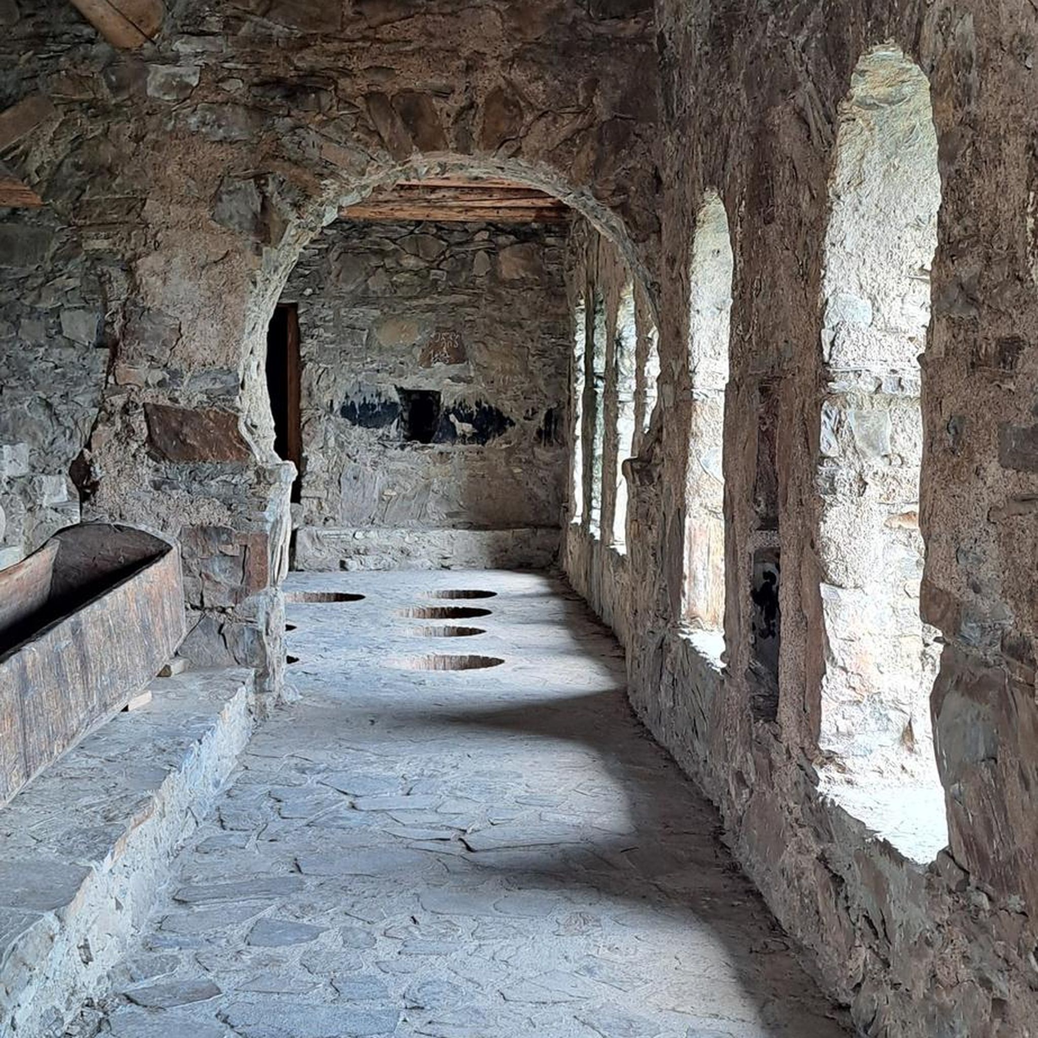
Unfortunately closed due to dilapidation
0
0

Food was great. Ice cream was also very good
1
0

Closed for three years due to renovation work. Will probably stay that way for the next three years...
0
0

Nice place to take a break.
3
0

Stayed for one night as a Goldsteig hiker. Very nice and uncomplicated people. Also quite cheap
2
0
Winter quarters for bats
0
0

Very friendly service covered beer garden 👍
1
0

Small beer garden, good hospitality and delicious food
1
0
Frequently Asked Questions
How many running routes are available around Wiesenfelden?
Wiesenfelden offers a wide selection of running routes, with over 25 trails available on komoot. The region boasts approximately 150 kilometers of marked trails in total, many of which are perfectly suited for jogging and Nordic walking.
Are there easy running routes suitable for beginners or leisurely jogs in Wiesenfelden?
Yes, Wiesenfelden has several easy running options. The paths around the unique pond landscape, particularly the Schiederhof Forest Inn loop from Brandmoos, are popular for their ease of access and scenic beauty. The Beckenweiher Pond also features a 2.3 km barrier-free circular path, ideal for a leisurely jog.
Can I find longer distance running trails in the Wiesenfelden area?
Absolutely. For those seeking longer distances, the Brandmoos Nature Reserve – Goldsteig near Wiesenfelden loop from Wiesenfelden offers a 7.0-mile (11.2 km) trail. Additionally, the renowned Goldsteig premium hiking trail passes through Wiesenfelden for about 18 kilometers, providing an immersive long-distance running experience.
Are there any challenging running routes with significant elevation changes?
While Wiesenfelden is known for its diverse terrain, including some hilly sections, most routes are moderate. For a more challenging experience, look for trails that venture into the extensive forests, which offer varied terrain with ascents and descents. The Old piano planter in Saulburg – View of the Danube Plain loop from Saulburg, for example, has over 240 meters of elevation gain.
What kind of natural scenery can I expect on the running trails around Wiesenfelden?
Wiesenfelden's running routes are characterized by a unique 'Weiherlandschaft' (pond landscape) with numerous ponds, meadows, and pastures. You'll also encounter extensive forests and the low moor nature reserve of Brandmoos. For a more wild experience, the Höllbachtal (Höllbach Valley) offers a rocky forest ravine with the Höllbach stream.
Are there any family-friendly running routes in Wiesenfelden?
Yes, the Naturerlebnisweg 'Kobelberg' (Nature Adventure Path) near the Waldgasthof Schiederhof is a 4-kilometer, relatively flat path suitable for jogging and features nine interactive stations, making it engaging for families.
What are some notable landmarks or attractions to see along the running routes?
While running, you can enjoy the natural beauty of the Höllbach Valley (Hölle) Nature Reserve and its Hölltal Rock Formations. The Höllbachtal Trail is also a highlight. For historical interest, the Historic Rock Cellar loop from Wiesenfelden passes by interesting sites.
Are the running routes in Wiesenfelden suitable for dogs?
Many of Wiesenfelden's natural trails through forests and open landscapes are generally dog-friendly. However, it's always recommended to keep dogs on a leash, especially in nature reserves like the Weiherlandschaft um Wiesenfelden and Brandmoos, to protect local wildlife and ensure a pleasant experience for all users.
What do other runners say about jogging in Wiesenfelden?
The running routes in Wiesenfelden are highly rated by the komoot community, with an average score of 4.7 stars from numerous reviews. Runners often praise the diverse natural landscape, the unique pond scenery, and the well-maintained trails that cater to various fitness levels.
Are there circular running routes available?
Yes, Wiesenfelden is well-known for its circular routes. Approximately 120 kilometers of the marked trails are circular, providing convenient options for runners who prefer to start and end at the same point. Examples include the Heizerberg loop from Zinzenzell and the various loops around Beckenweiher Pond.
Is there parking available near the running trails?
Yes, many trailheads and popular starting points in Wiesenfelden, especially those near villages or attractions like the Waldgasthof Schiederhof, offer designated parking areas. It's advisable to check specific route descriptions for detailed parking information.
What is the best season to go running in Wiesenfelden?
Wiesenfelden offers a refreshing experience year-round. Spring and autumn provide pleasant temperatures and vibrant scenery. Summer is also excellent, with the extensive forests offering shade. Even in winter, the region's trails can be beautiful for running, though some paths might require appropriate footwear due to snow or ice.
Most popular routes around Wiesenfelden
Most popular attractions around Wiesenfelden

Get inspired with the komoot mobile app


Explore more
Browse the best Running Trails & Routes in other regions.
