The best mountain hikes around Viechtach
4.7
(74)
441
hikers
52
hikes
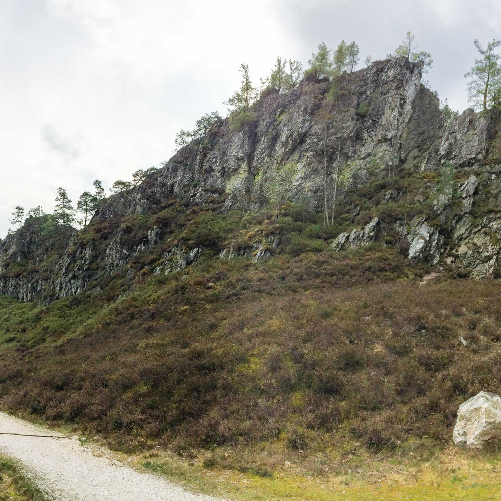
Mountaineering routes around Viechtach are set within the Bavarian Forest, offering a diverse landscape for challenging mountain experiences. The region features demanding ascents and alpine-like conditions, characterized by striking rock formations like the Rauchröhren and significant peaks such as Geißkopf Mountain. Dense forests and a hilly terrain contribute to varied and strenuous routes, often requiring sure-footedness and alpine experience.
Best mountaineering routes around Viechtach
- The most popular mountaineering route is Enzian Summit Cross – Kleiner Arber Summit (1,384 m) loop…
Last updated: October 9, 2026
4.8
(9)
46
hikers
30.1km
11:55
1,290m
1,290m
Hard mountaineering route. Very good fitness required. Sure-footedness, sturdy shoes and alpine experience required.
5.0
(2)
17
hikers
10.7km
03:31
380m
380m
Hard mountaineering route. Good fitness required. Sure-footedness, sturdy shoes and alpine experience required.

5.0
(2)
15
hikers
11.1km
03:54
450m
450m
Hard mountaineering route. Good fitness required. Sure-footedness, sturdy shoes and alpine experience required.
5.0
(1)
16
hikers
6.15km
02:31
290m
290m
Hard mountaineering route. Good fitness required. Sure-footedness, sturdy shoes and alpine experience required.
8
hikers
12.7km
04:21
450m
440m
Hard mountaineering route. Good fitness required. Sure-footedness, sturdy shoes and alpine experience required.
Get access to more routes and recommendations from other explorers.
Already have an account?
Our route recommendations are based on thousands of hikes, rides, and runs completed by other people on komoot.
Start today with a free account
Your next adventure awaits.
Popular around Viechtach

Exciting cycle and (e)-mountain bike Tours in the Bavarian Forest
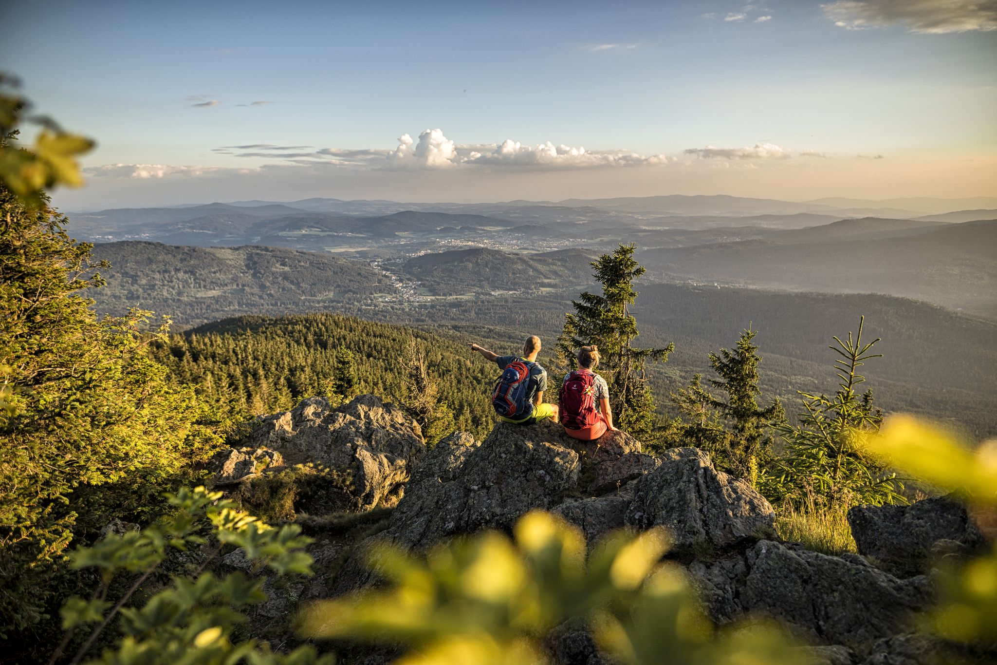
Hiking tips for the Bavarian Forest
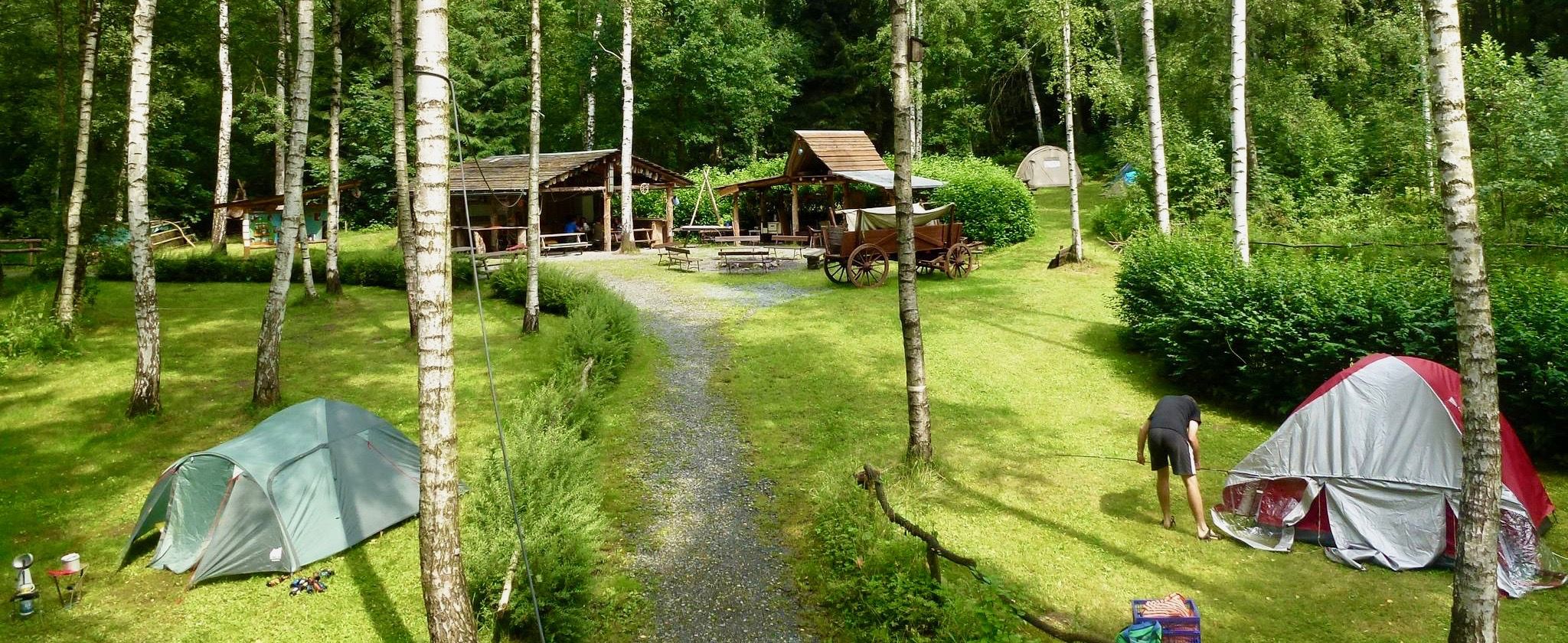
Nature campsites — 13 magical places around Germany
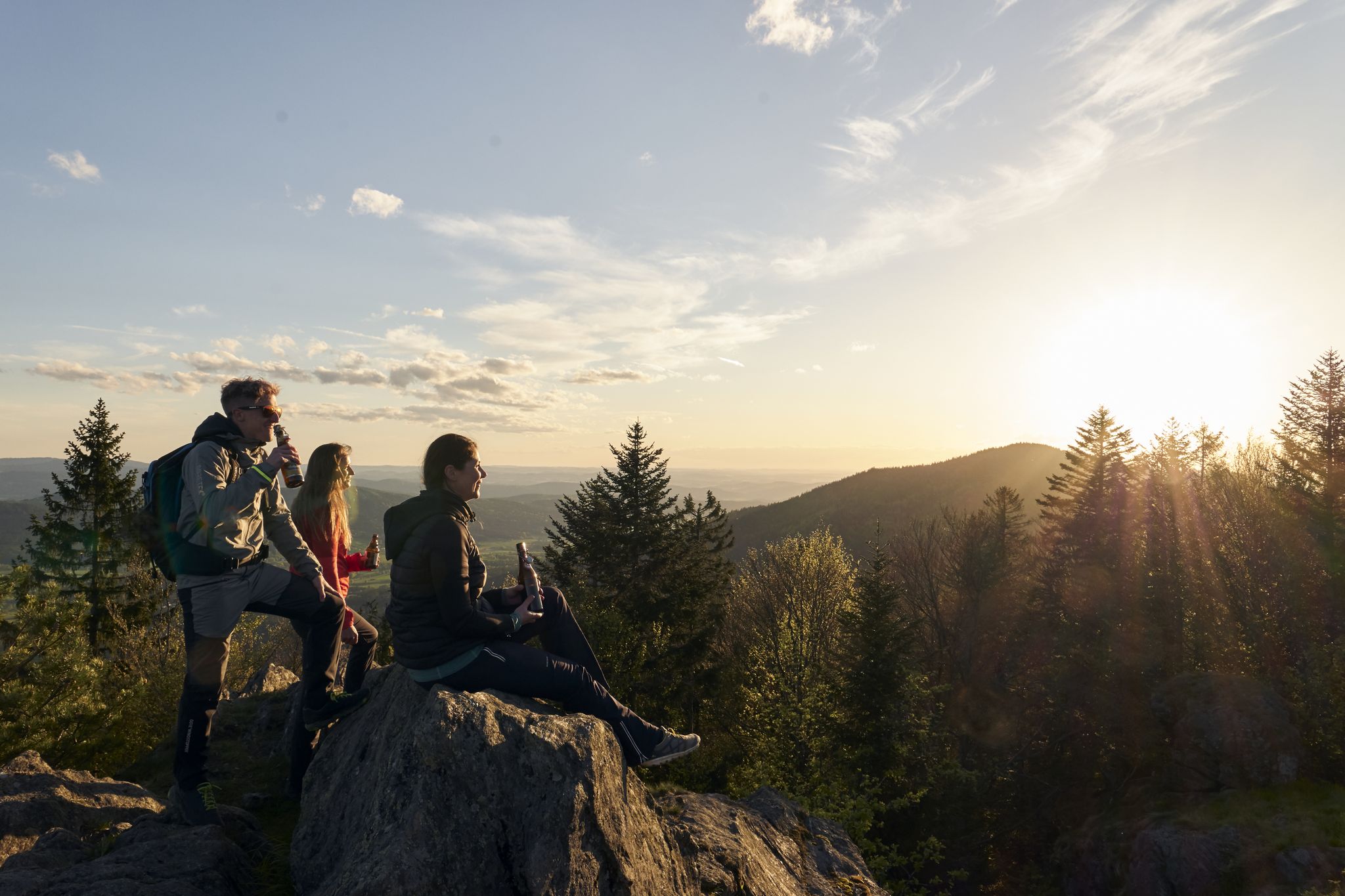
Erster Bierfernwanderweg Deutschlands - unterwegs auf bierigen Pfaden
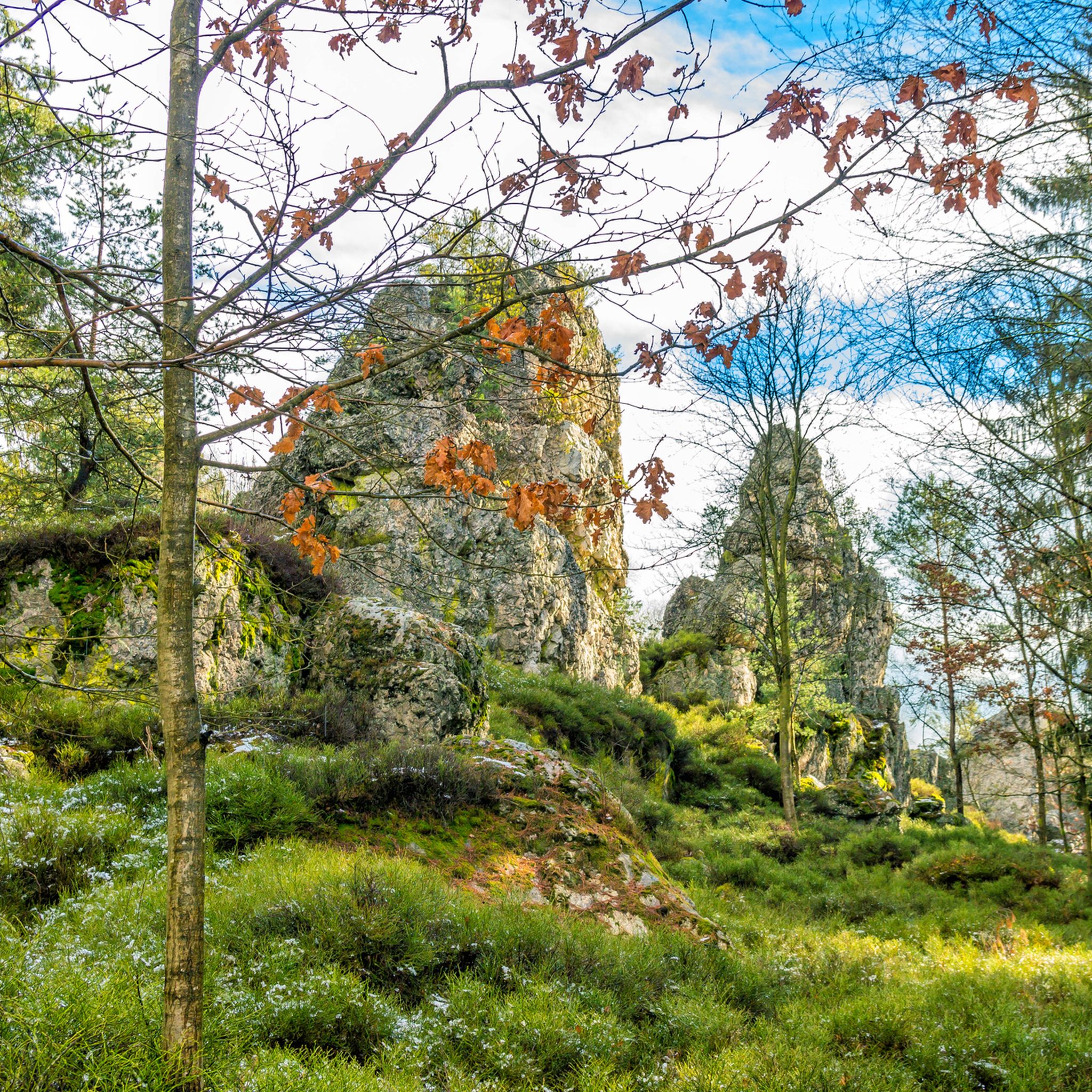
Hiking around Viechtach
MTB Trails around Viechtach
Cycling around Viechtach
Running Trails around Viechtach
Road Cycling Routes around Viechtach

Gravel biking around Viechtach
Other adventures around Viechtach


Tips from the Community

... Gesenke sounds so friendly and harmless, but this saddle should not be underestimated ...
0
0

The summit cross Schwarzeck offers a great view of the mountains of the Bavarian Forest. The cross itself is also worth seeing, and the path to it, part of the Goldsteig, is also very beautiful. Nearby there is another viewpoint (also belongs to Schwarzeck) which also offers a great view of the other side. Here on the Großer and Kleiner Arber and into the valley.
0
0

You should also take a break in between
0
0
Hidden behind a group of rocks is the summit cross Schwarzeck, but is rewarded with such a beautiful view
0
0

very interesting construction! 😃
0
0

Customs in the Bavarian Forest
0
0

Finally a stylish bench to take a break from. Invites you to linger.
0
0
Nice idea, near the Kreuzfelsen (999m).
1
0
Frequently Asked Questions
How many mountaineering routes are available around Viechtach?
There are over 50 mountaineering routes around Viechtach listed on komoot, offering a diverse range of experiences from moderate to difficult. The region's varied terrain ensures there's something for every skill level.
Are there any easy mountaineering routes suitable for beginners in Viechtach?
While many routes in Viechtach are challenging, there are a few easier options available. These routes still require sure-footedness and sturdy shoes but offer a less strenuous introduction to the region's mountainous landscape. You can find about 4 easy routes to start with.
What are some of the most challenging mountaineering routes in the Viechtach area?
For experienced mountaineers seeking a significant challenge, the Enzian Summit Cross – Kleiner Arber Summit (1,384 m) loop from Eck is a demanding option. This 18.3-mile (29.5 km) route involves considerable elevation gain and leads to a high summit, requiring very good fitness and alpine experience.
Can I find mountaineering routes that feature striking rock formations?
Yes, the Viechtach region is known for its impressive rock formations. A great route to experience these is the Forest Chapel Near Eck – Rauchröhren rock formations loop from Eck. This difficult 6.7-mile (10.8 km) path navigates directly through the notable Rauchröhren rock formation, offering a unique and challenging experience.
Are there any circular mountaineering routes around Viechtach?
Many of the mountaineering routes in Viechtach are designed as loops, allowing you to start and end at the same point. For example, the Rauchröhren rock formation – Kötztinger Hut loop from Eck is a 6.8-mile (11.0 km) circular trail that takes you through the Kaitersberg mountain ridge.
Are there mountaineering routes that pass by waterfalls in the region?
While not directly on the mountaineering routes listed, the broader Viechtach area is home to beautiful waterfalls that can be explored. You might consider visiting the Lower Riesloch Falls or the Riesloch Gorge Waterfalls as separate excursions or as part of a combined trip.
What kind of views can I expect on mountaineering routes near Viechtach?
The mountaineering routes around Viechtach offer diverse and rewarding views. You can expect panoramic vistas from summits like Geißkopf Mountain and Kleiner Arber, as well as scenic outlooks over the dense Bavarian Forest and valleys. The Pröller summit cross is another notable viewpoint.
Are there any mountaineering routes that include a stop at a mountain hut or a place for refreshments?
Yes, some routes offer opportunities for refreshment stops. The Rauchröhren rock formation – Kötztinger Hut loop from Eck, for instance, leads you to the Kötztinger Hütte, which is situated on the Mittagstein within the Kaitersberg mountain ridge and features a panoramic terrace.
What do other mountaineers say about the routes in Viechtach?
The mountaineering routes in Viechtach are highly regarded by the komoot community, with an average rating of 4.7 stars from over 60 reviews. Users often praise the challenging ascents, the striking rock formations, and the immersive experience within the dense woodlands.
Are there any routes that explore caves or unique natural features?
Yes, for a route with a unique natural feature, consider the Cross rocks – Ascent to the Räuber-Heigl Cave loop from Reitenberg. This difficult 3.8-mile (6.1 km) route includes an ascent to the Räuber-Heigl Cave, adding an element of exploration to your mountaineering adventure.
Can I find routes that combine rock formations with other scenic elements?
Absolutely. The Rauchröhren rock formations – Cross Rock loop from Reitenberg is a great example. This 7.7-mile (12.3 km) difficult route combines the impressive Rauchröhren rock formations with other scenic elements like the Cross Rock, offering a varied and engaging experience.
What is the best time of year for mountaineering in Viechtach?
The best time for mountaineering in Viechtach is generally from late spring to early autumn (May to October), when the weather is more stable and trails are clear of snow. Always check local weather conditions before heading out, as alpine conditions can change rapidly.
Most popular routes around Viechtach
Most popular attractions around Viechtach

Get inspired with the komoot mobile app


Explore more
Browse the best Mountain Hikes & Routes in other regions.
