The best mountain hikes around Frauenau
4.9
(46)
337
hikers
34
hikes
Mountaineering around Frauenau offers routes through the dense forests and rolling peaks of the Bavarian Forest. The region is characterized by its varied elevation, leading to prominent summits like Rachel Peak and Großer Falkenstein. These trails often traverse wooded slopes and open mountain ridges, providing diverse terrain for mountaineers.
Best mountaineering routes around Frauenau
- The most popular mountaineering route is Rachel Summit (Rachel Peak) – Waldschmidt Hut loop from Gfäll, a 6.8 miles (10.9 km) trail that takes 3…
Last updated: October 9, 2026
4.0
(1)
16
hikers
11.3km
03:56
540m
540m
Moderate mountaineering route. Good fitness required. Mostly accessible paths. Sure-footedness required.
5.0
(1)
17
hikers
Hard mountaineering route. Very good fitness required. Mostly accessible paths. Sure-footedness required.

5.0
(4)
19
hikers
13.1km
04:29
670m
670m
Moderate mountaineering route. Good fitness required. Mostly accessible paths. Sure-footedness required.
4.5
(2)
17
hikers
14.9km
04:53
690m
690m
Moderate mountaineering route. Good fitness required. Mostly accessible paths. Sure-footedness required.
5.0
(2)
12
hikers
17.2km
05:43
760m
760m
Hard mountaineering route. Very good fitness required. Sure-footedness, sturdy shoes and alpine experience required.
Get access to more routes and recommendations from other explorers.
Already have an account?
Our route recommendations are based on thousands of hikes, rides, and runs completed by other people on komoot.
Start today with a free account
Your next adventure awaits.
Popular around Frauenau
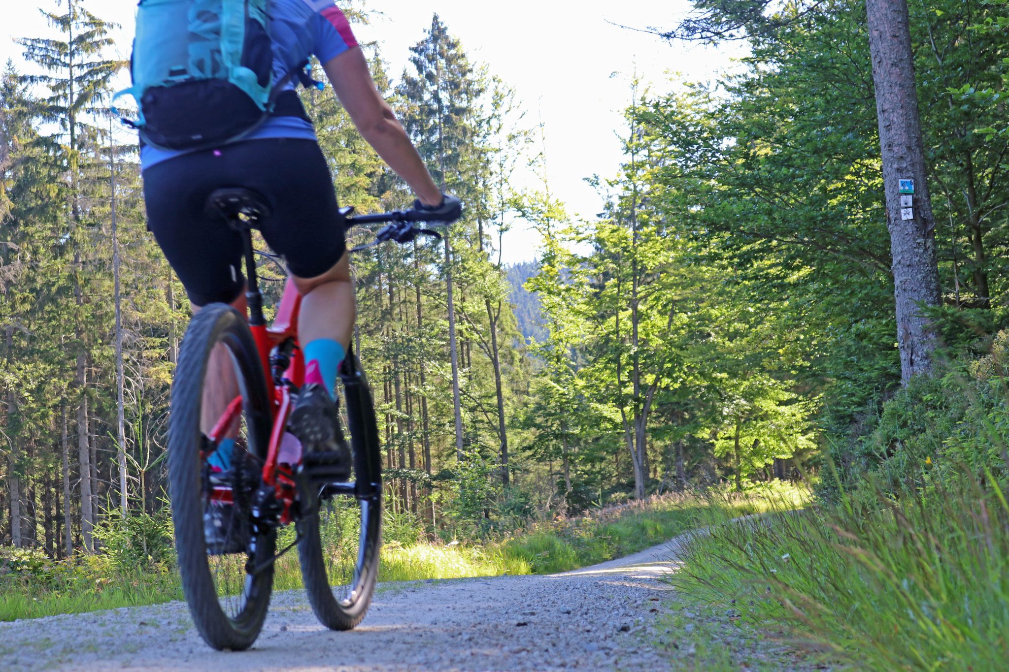
The most beautiful bike tours in the Bavarian Forest National Park
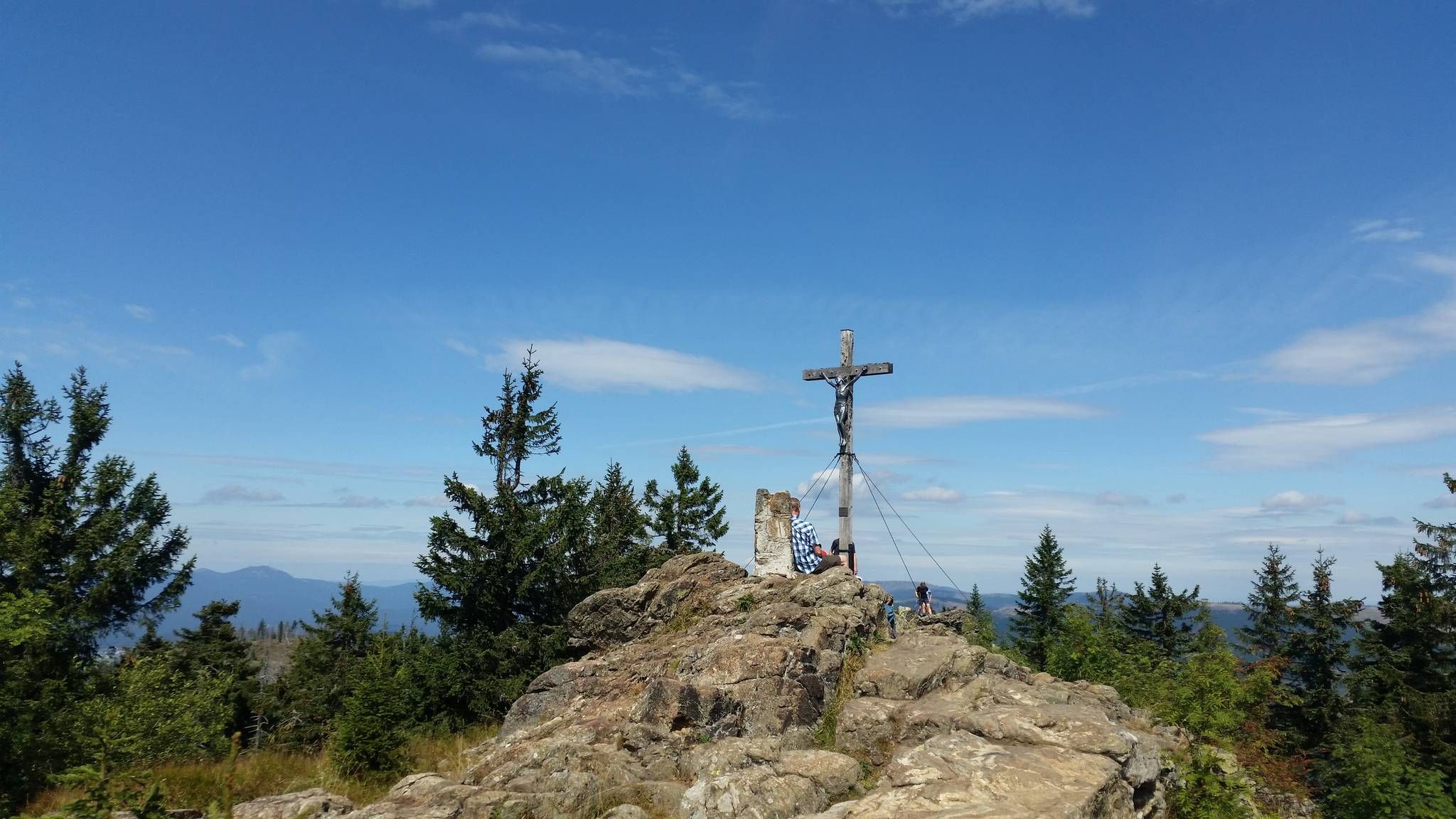
Eight thousand meter high mountains in the Bavarian Forest
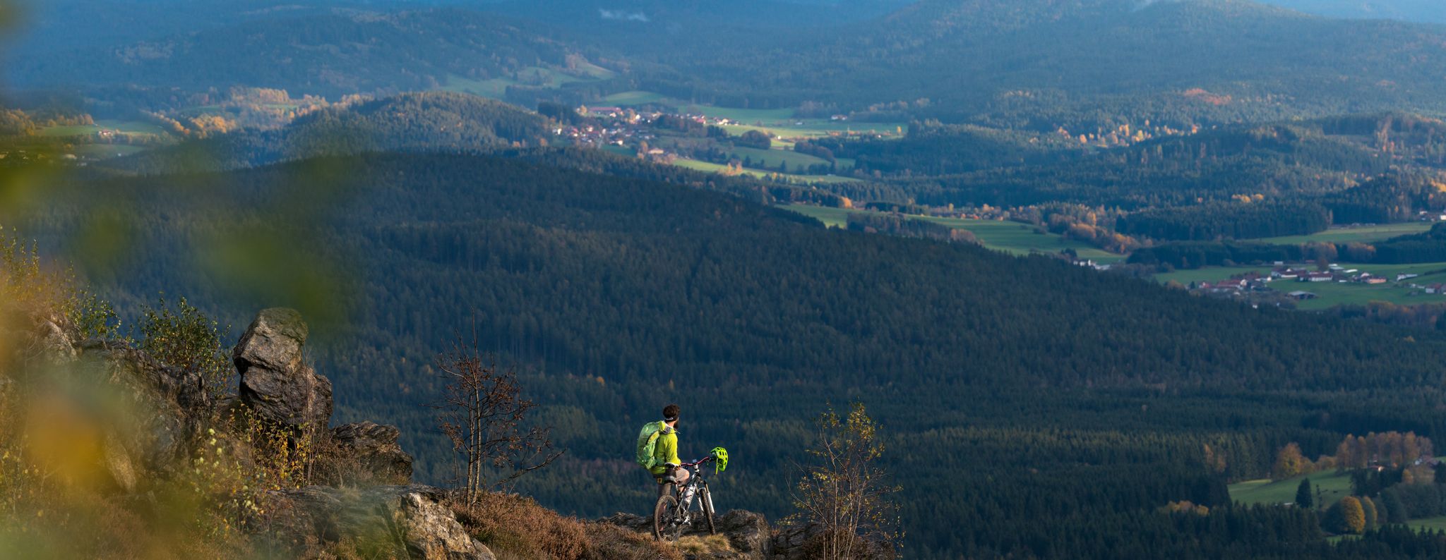
Auf der ARBERLAND-Runde vier Tage den Bayerischen Wald genießen
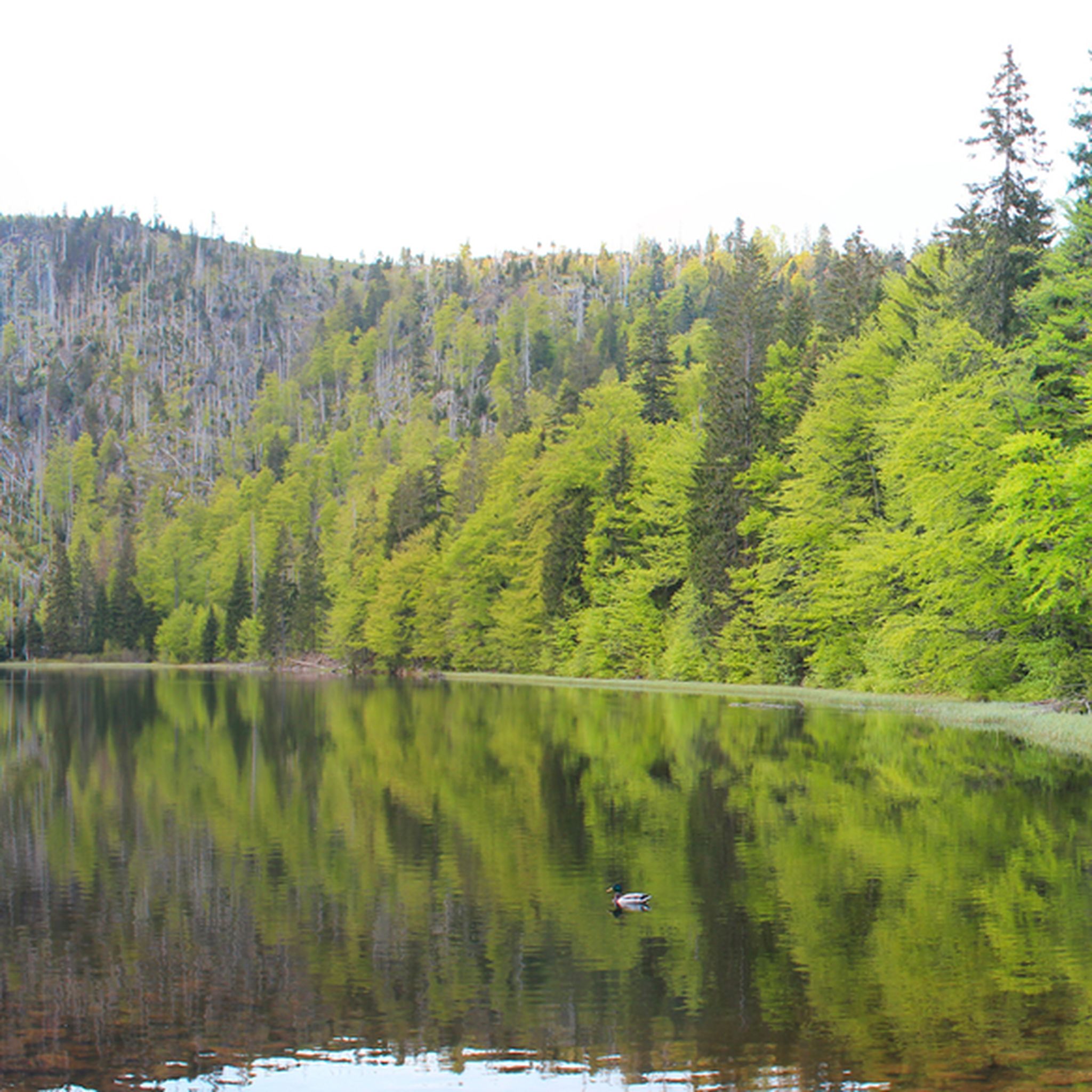
Hiking around Frauenau
Cycling around Frauenau
MTB Trails around Frauenau
Running Trails around Frauenau
Road Cycling Routes around Frauenau

Gravel biking around Frauenau
Other adventures around Frauenau


Tips from the Community

The path around the waterfall is steep and with large stones in the way. But everything is doable if you have a secure footing. In rain, you should be careful or skip the detour. The path is beautiful though, just like the waterfall and the whole stream. Attention, you also have to cross it a few times, so you might get wet feet.
0
0


Great tour, strenuous, exciting, and full of adventure. Good footwear, a bit of fitness, and surefootedness are required.
1
0

Small adventure to cross the stream surrounded by small waterfalls
2
0

Beautiful view of the large Höllbach.
2
0

rather practical in case bad weather does arise
0
0

Frequently Asked Questions
How many mountaineering routes are available around Frauenau?
There are nearly 40 dedicated mountaineering routes around Frauenau, offering a wide range of experiences through the Bavarian Forest. These routes are highly rated by the komoot community, with an average score of 4.9 stars.
Are there any easy mountaineering routes suitable for beginners in Frauenau?
While most routes are moderate to difficult, some moderate trails can be suitable for beginners with a good level of fitness. For instance, the Rachel Summit (Rachel Peak) – Waldschmidt Hut loop from Gfäll is a moderate 10.9 km route that offers a rewarding experience without extreme difficulty.
What are the typical durations for mountaineering trails in Frauenau?
Mountaineering trails in Frauenau vary significantly in length and duration. Moderate routes, such as the Rachel Summit (Rachel Peak) – Großer Rachel Summit loop from Klingenbrunn, can take around 4 hours 30 minutes to complete. More challenging routes, like the Frauenau Drinking Water Reservoir – Großer Rachel Summit loop from Oberfrauenau, can extend to over 6 hours.
Are there any circular mountaineering routes in Frauenau?
Yes, many of the mountaineering routes around Frauenau are designed as circular loops, allowing you to start and end at the same point. Examples include the Rachel Summit (Rachel Peak) – Großer Rachel Summit loop from Oberfrauenau and the Großer Falkenstein Summit – Höllbachgspreng Waterfalls loop from Kreuzstraßl.
What are some notable viewpoints along the mountaineering routes in Frauenau?
The region is known for its prominent summits offering expansive views. Rachel Peak and Großer Falkenstein are key destinations for panoramic vistas. Many routes, such as those ascending to Rachel Summit, provide stunning outlooks over the dense Bavarian Forest.
Can I find waterfalls along the mountaineering trails in Frauenau?
Absolutely! The Frauenau area is home to several beautiful waterfalls. The Großer Falkenstein Summit – Höllbachgspreng Waterfalls loop from Kreuzstraßl specifically features the impressive Höllbachgspreng Waterfalls. Other notable waterfalls in the vicinity include the Höllbachgespreng Waterfall and the Höllbach Waterfall.
What is the best time of year for mountaineering in Frauenau?
The summer months generally offer the most favorable conditions for mountaineering in Frauenau, with warmer temperatures and longer daylight hours. However, the dense forests provide shade, making spring and autumn also excellent times to explore the trails amidst vibrant foliage.
Are there any specific challenges for advanced mountaineers in Frauenau?
Yes, Frauenau offers several challenging routes for experienced mountaineers. Trails like the Frauenau Drinking Water Reservoir – Großer Rachel Summit loop from Oberfrauenau are classified as difficult, featuring significant elevation gains and longer distances, testing endurance and skill.
What do other mountaineers enjoy most about the routes in Frauenau?
The routes in Frauenau are highly rated by the komoot community, with an average score of 4.9 stars from over 50 reviews. Mountaineers often praise the diverse terrain, from dense wooded slopes to open mountain ridges, and the prominent summits like Rachel Peak and Großer Falkenstein that offer rewarding views.
Are there any family-friendly mountaineering options around Frauenau?
While many routes are moderate to difficult, families with older children or those accustomed to hiking can find suitable options. Look for shorter, moderate trails that focus on scenic points rather than extreme elevation, or consider combining sections of longer routes for a more manageable outing.
Is public transport available to access mountaineering routes near Frauenau?
The Bavarian Forest region generally has public transport options, including buses, that can connect to trailheads. It's advisable to check local bus schedules and routes specific to Frauenau and the national park area to plan your access to the starting points of the mountaineering trails.
Where can I find parking for mountaineering routes in Frauenau?
Many popular trailheads around Frauenau, especially those leading to major summits like Rachel Peak and Großer Falkenstein, typically have designated parking areas. These are often located near villages or key access points to the national park. It's recommended to check specific route descriptions for detailed parking information.
Most popular routes around Frauenau
Most popular attractions around Frauenau

Get inspired with the komoot mobile app


Explore more
Browse the best Mountain Hikes & Routes in other regions.
