The best mountain hikes around Bischofsmais
5.0
(5)
92
hikers
21
hikes
Mountaineering around Bischofsmais offers diverse landscapes within the Bavarian Forest, characterized by rolling hills, dense woodlands, and prominent peaks. The region's terrain includes challenging ascents to summits like Geißkopf and Breitenauriegel, alongside serene forest paths. This area provides a blend of natural features, from high moor areas with unique flora to impressive rock formations and waterfalls, catering to various levels of outdoor enthusiasts.
Best mountaineering routes around Bischofsmais
- The most popular mountaineering route is Breitenauriegel Summit – Geißkopf Summit and…
Last updated: October 9, 2026
4
hikers
16.0km
05:07
550m
550m
Hard mountaineering route. Very good fitness required. Mostly accessible paths. Sure-footedness required.
8
hikers
Moderate mountaineering route. Good fitness required. Mostly accessible paths. Sure-footedness required.

5.0
(1)
14
hikers
Moderate mountaineering route. Good fitness required. Easily-accessible paths. Suitable for all skill levels.
6
hikers
Moderate mountaineering route. Good fitness required. Mostly accessible paths. Sure-footedness required.
5.0
(1)
8
hikers
Moderate mountaineering route. Great for any fitness level. Mostly accessible paths. Sure-footedness required.
Get access to more routes and recommendations from other explorers.
Already have an account?
Our route recommendations are based on thousands of hikes, rides, and runs completed by other people on komoot.
Start today with a free account
Your next adventure awaits.
Popular around Bischofsmais
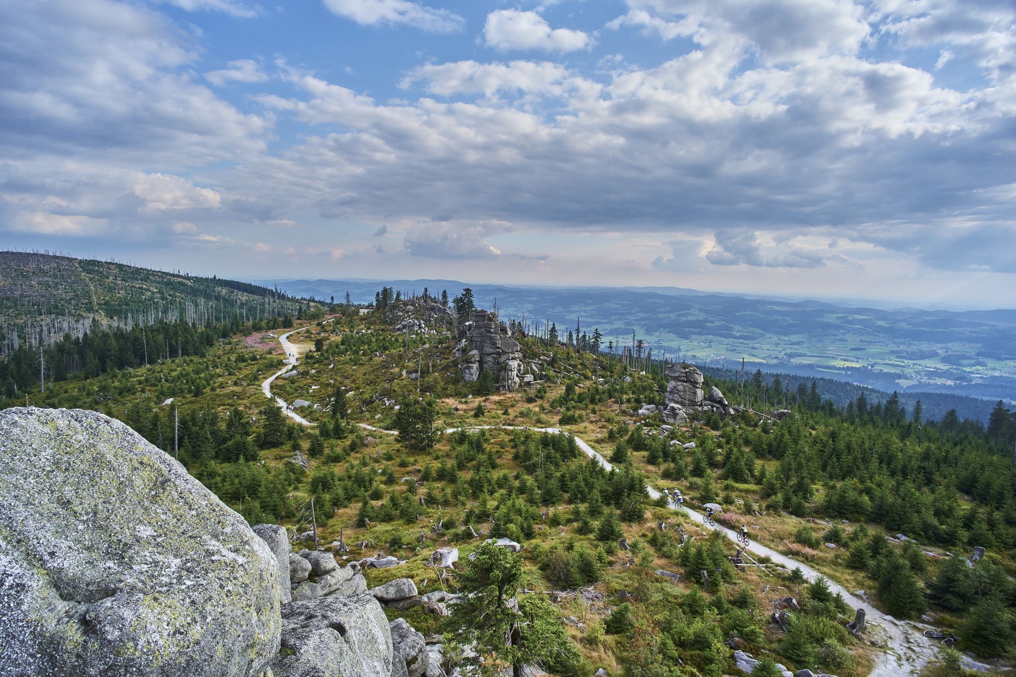
Trans Bayerwald – A mountain bike adventure through Bavaria's finest nature

The Goldsteig – 38 stages between Upper Palatinate and Passau
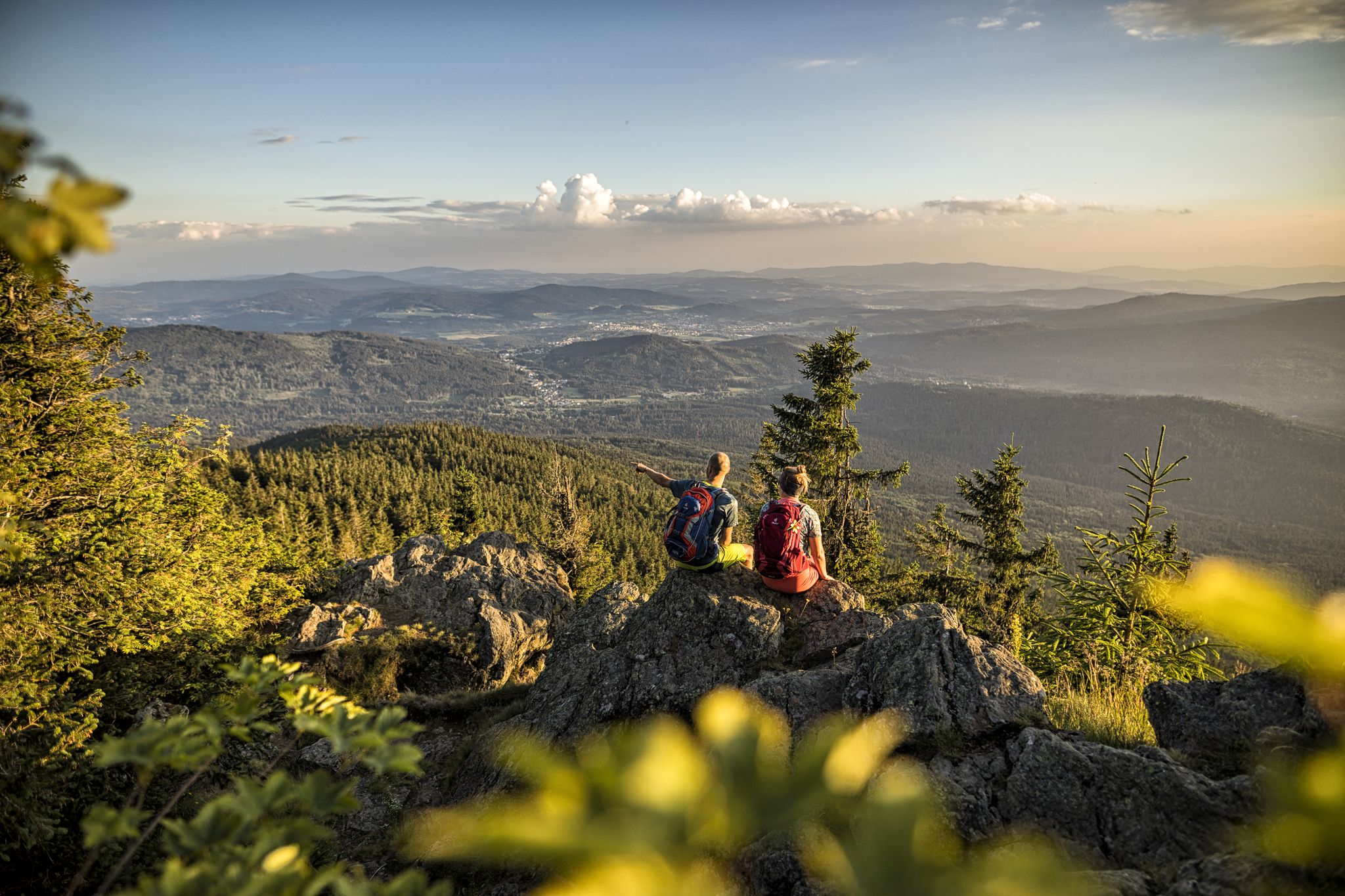
Hiking tips for the Bavarian Forest
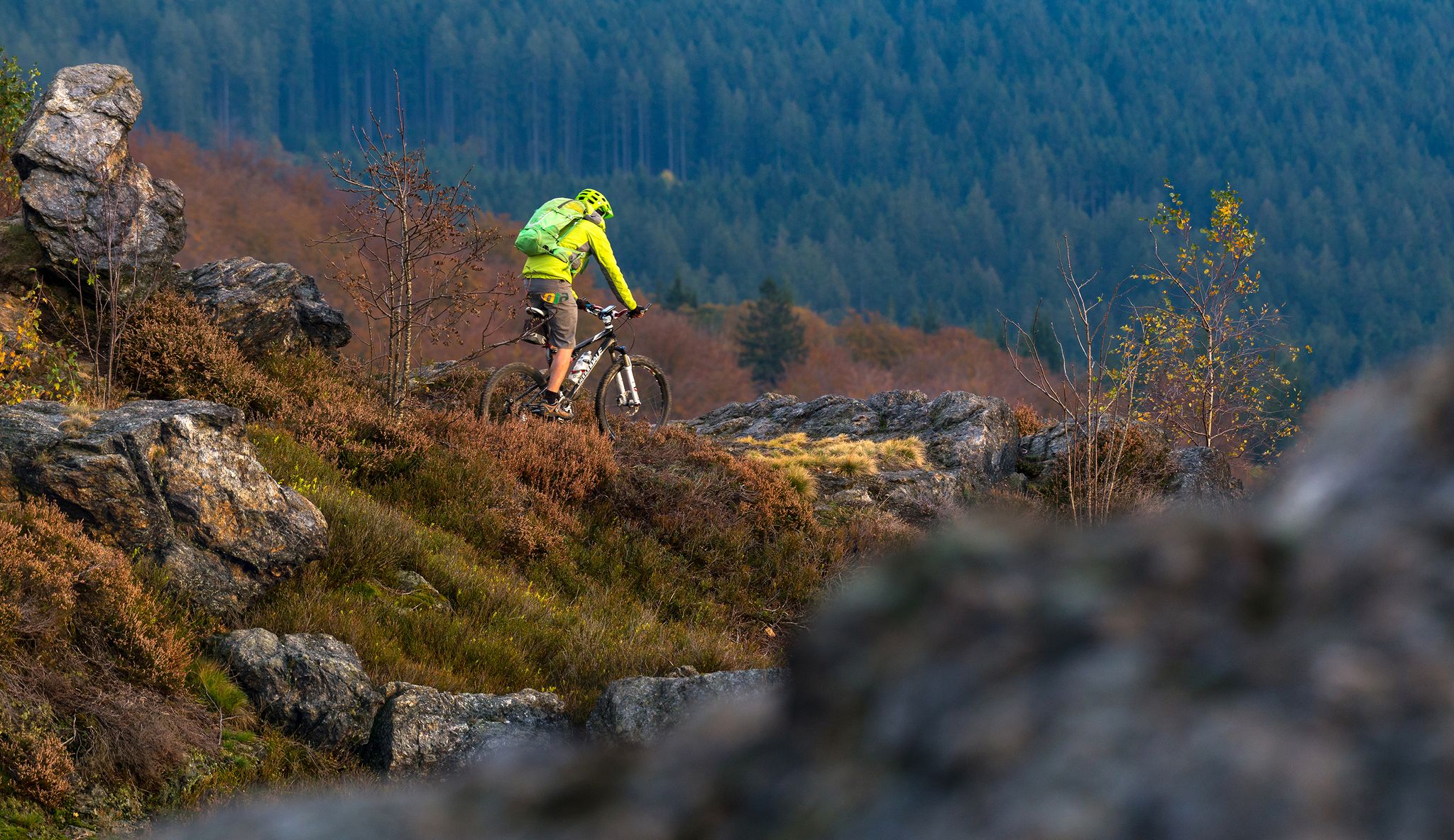
A 3-day bike adventure in Arberland
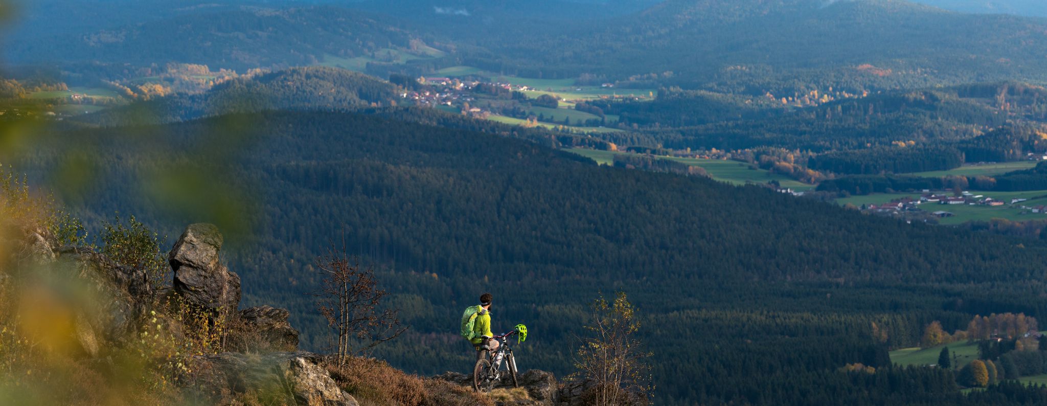
Auf der ARBERLAND-Runde vier Tage den Bayerischen Wald genießen
Hiking around Bischofsmais
MTB Trails around Bischofsmais
Cycling around Bischofsmais
Running Trails around Bischofsmais
Road Cycling Routes around Bischofsmais
Other adventures around Bischofsmais


Tips from the Community

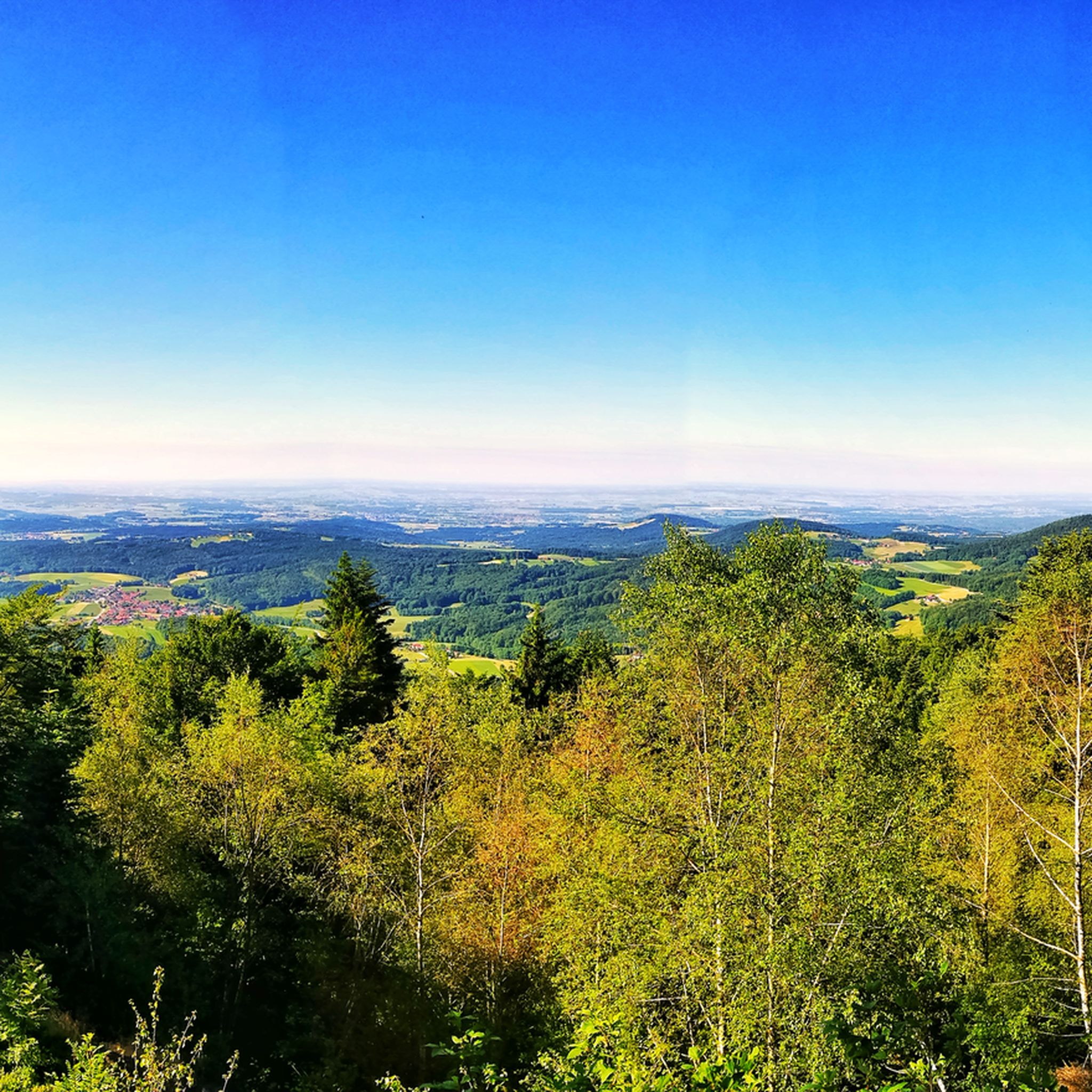
Beautiful viewpoint with a view into the Danube plain.
1
0

There are plenty of parking spaces, so it's a good starting point for a hike in the Bavarian Forest.
5
0

In winter, Kalteck was a local ski resort with two drag lifts operating on three ski slopes.
2
0
Small "rocky" shelter between Rauhen Kulm and Klausenstein.
3
0


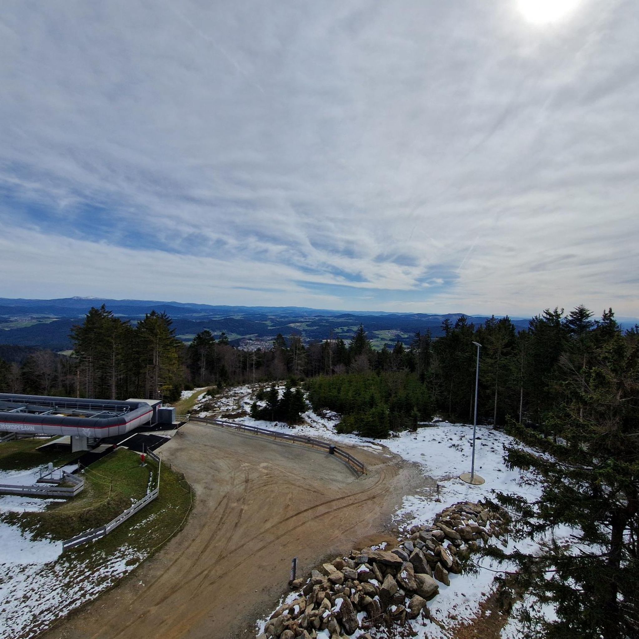
If the weather is good, there is a great view of the region. Partly steep climb from Böbrach.
0
0

Be sure to climb the observation tower!
3
0

The wooden hand. There are several stories about it. Now the question is which is the right one?
1
0
Frequently Asked Questions
How many mountaineering routes are available around Bischofsmais?
There are over 20 mountaineering routes around Bischofsmais, offering a variety of experiences. These routes range from moderate forest trails to more challenging summit ascents, catering to different skill levels.
Are there mountaineering routes suitable for beginners in Bischofsmais?
Yes, Bischofsmais offers several routes suitable for beginners or those looking for a less strenuous experience. For example, the Dreitannenriegel Summit – Dreitannenriegel Summit Cross loop from Schwallwiese is a moderate 3.2-mile trail that can be completed in about two hours, leading through dense woodlands to a prominent summit cross.
What kind of terrain can I expect on mountaineering routes in Bischofsmais?
The terrain around Bischofsmais is diverse, characterized by the rolling hills and dense woodlands of the Bavarian Forest. You'll encounter well-marked forest paths, ascents to prominent peaks like Geißkopf and Breitenauriegel, and unique natural features such as high moor areas. The paths are generally well-maintained, but some summit routes can be challenging.
Are there any challenging mountaineering routes for experienced hikers?
Absolutely. For experienced mountaineers, routes like the Breitenauriegel Summit – Geißkopf Summit and Bike Park loop from Rohrmünz offer a significant challenge. This difficult 9.9-mile trail connects two major summits and involves considerable elevation gain, typically taking over five hours to complete.
Can I find family-friendly mountaineering routes in Bischofsmais?
While many routes are moderate, shorter and less strenuous options are available that can be enjoyed by families. The region offers paths around areas like Kleiner Arber, which are known for being more accessible. Always check the route details for distance and elevation to ensure it suits your family's capabilities.
Are there any circular mountaineering routes in the Bischofsmais area?
Yes, many routes in Bischofsmais are designed as loops, allowing you to start and end at the same point. A popular example is the Breitenauriegel Summit – Geißkopf Summit and Bike Park loop from Ruselabsatz, a moderate 9.5-mile path offering panoramic views across the Danube Valley.
What are some notable landmarks or viewpoints along the mountaineering routes?
Mountaineering routes in Bischofsmais offer access to several impressive landmarks and viewpoints. You can enjoy expansive views from the Geißkopf summit over the surrounding 'border mountains' and even the Alps on clear days. The Breitenauriegel also provides panoramic views from its viewing chimney. Additionally, the bizarre rock formation of Teufelstisch (Devil's Table) is a popular hiking destination with views of Weißenstein Castle Ruins.
Are there any waterfalls to see on mountaineering routes near Bischofsmais?
Yes, the Hirschbach Waterfall is recognized as one of Bavaria's most famous waterfalls and is accessible from routes in the region. It provides an impressive natural spectacle, especially vibrant in spring, where water cascades amidst lush greenery.
What do other mountaineers enjoy most about the routes in Bischofsmais?
The mountaineering routes in Bischofsmais are highly rated by the komoot community, with an average score of 5.0 stars. Reviewers often praise the diverse landscapes, the tranquility of the dense woodlands, and the rewarding panoramic views from the summits. The variety of routes catering to different skill levels is also frequently highlighted.
Are there any historical sites or unique natural features to explore?
Beyond the peaks, you can explore the area of Oberbreitenau on the Geißkopf, which features historical ruins of an abandoned forest village and a unique high moor area. This moor is a botanical site with rare plants like the Charlemagne Scepter and various moor plants. You can also find the Weißenstein Castle Ruins nearby.
Are there places to stop for refreshments or rest along the trails?
Yes, the region has several huts and cabins that can serve as excellent spots for refreshments or a rest during your mountaineering trip. Notable options include the Landshuter House, Hochwald Hut, and Naturfreundehaus Loderhart, which are often located along or near popular routes.
What is the best time of year for mountaineering in Bischofsmais?
The Bavarian Forest, including Bischofsmais, is beautiful year-round. Spring and autumn offer pleasant temperatures and vibrant scenery, with spring bringing lush greenery and autumn showcasing colorful foliage. Summer is also popular, though trails can be busier. Winter mountaineering is possible on cleared paths, and the region also offers winter sports like snowshoeing.
Are dogs allowed on the mountaineering trails around Bischofsmais?
Generally, dogs are welcome on most hiking and mountaineering trails in the Bavarian Forest, including those around Bischofsmais. It's always recommended to keep your dog on a leash, especially in nature reserves or areas with wildlife, and to ensure you clean up after them. Check specific trail regulations if you plan to visit a protected area.
Most popular routes around Bischofsmais
Most popular attractions around Bischofsmais

Get inspired with the komoot mobile app


Explore more
Browse the best Mountain Hikes & Routes in other regions.
