The best gravel rides around Bischofsmais
4.3
(10)
78
riders
25
rides
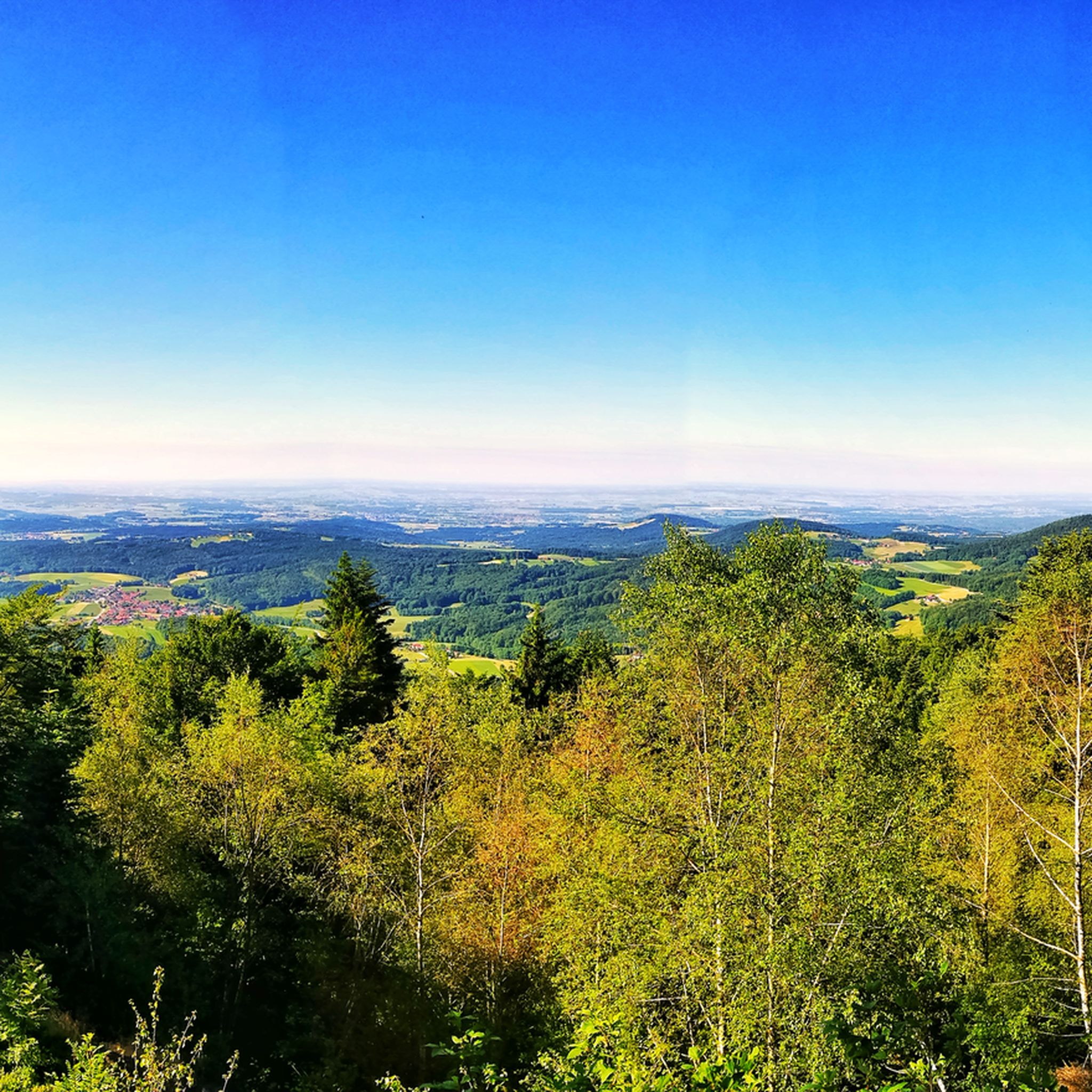
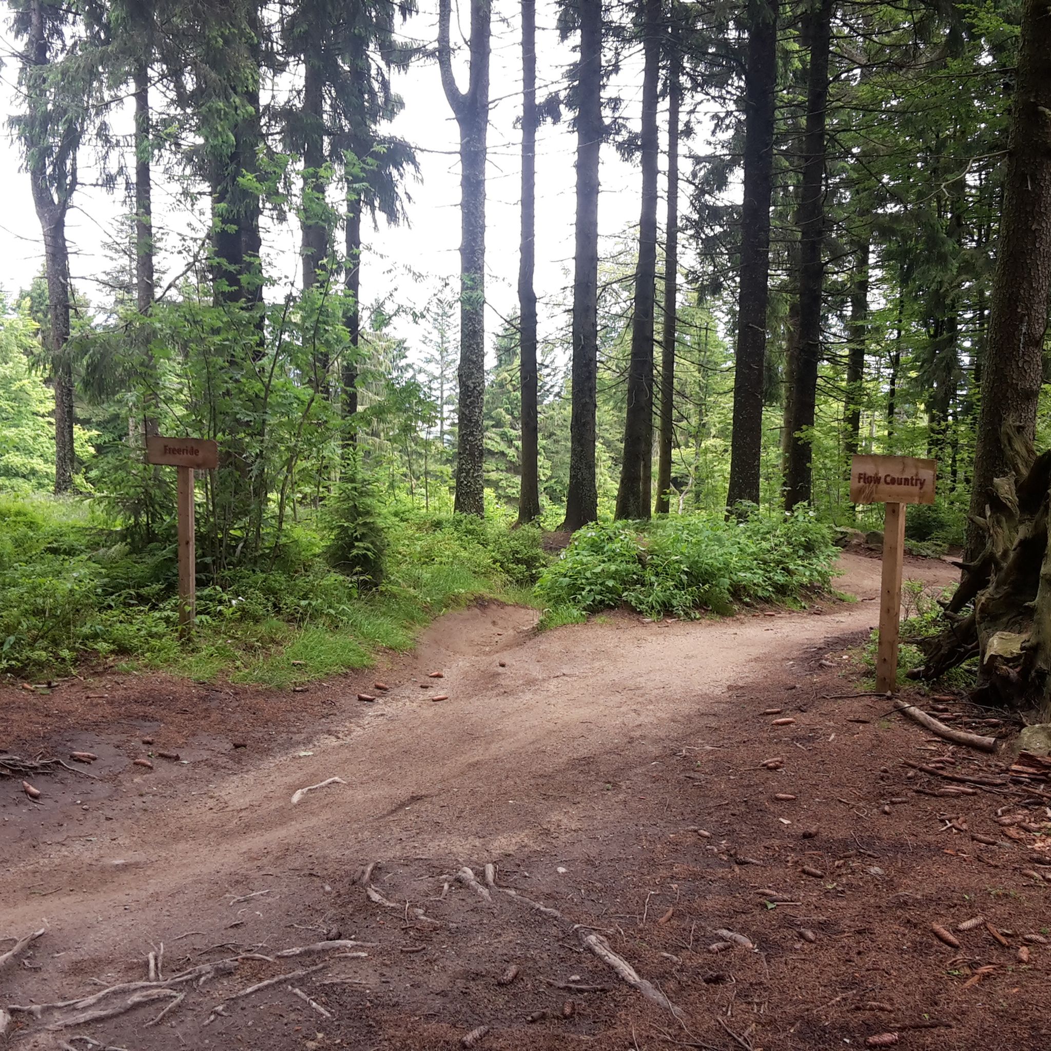
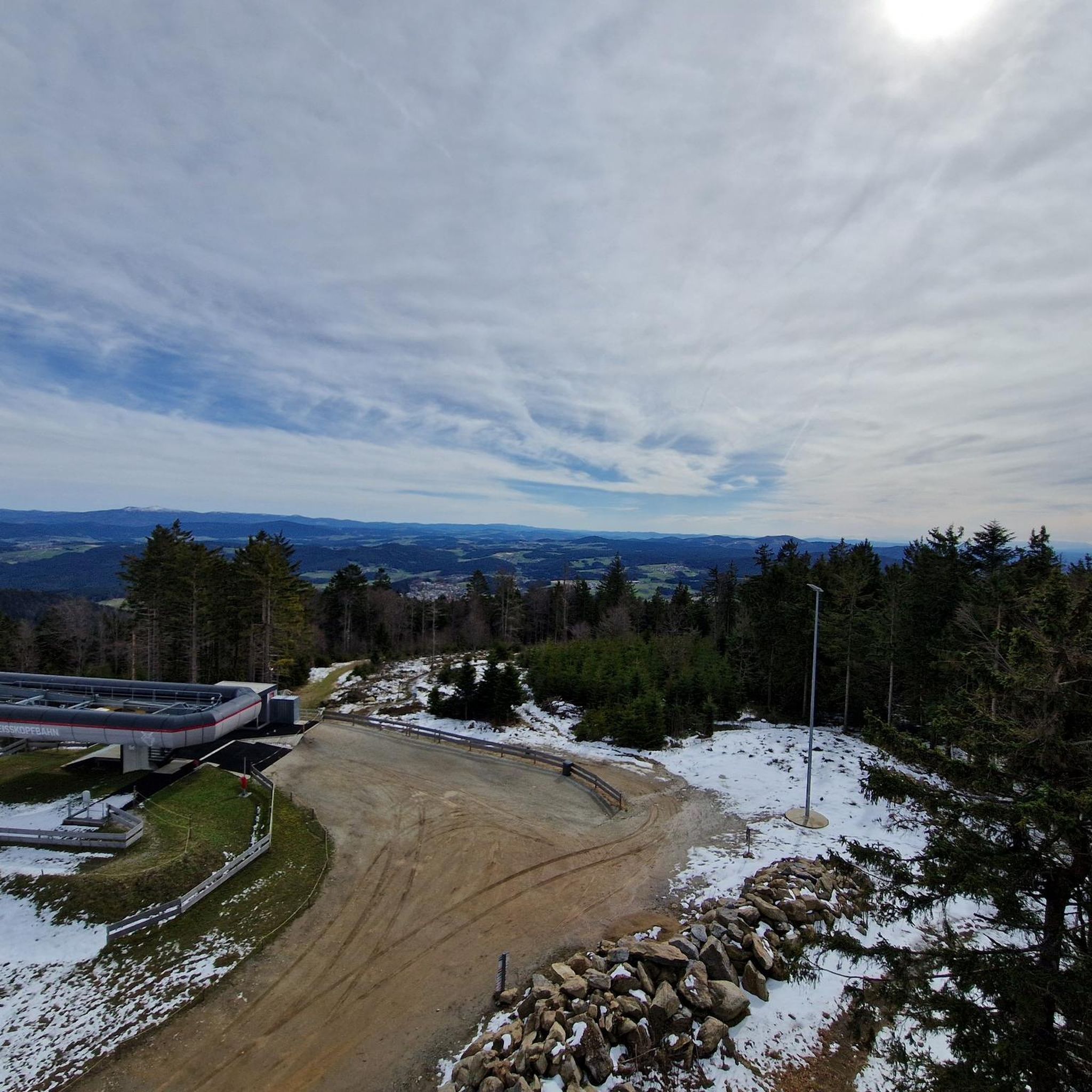
Gravel biking around Bischofsmais offers routes through the diverse landscape of the Bavarian Forest. The region is characterized by dense woodlands, rolling hills, and elevated areas like the Geißkopf Summit. Gravel bike trails in this area often traverse varied terrain, including forest paths and open sections with views. The network provides options for different skill levels, from moderate climbs to more challenging ascents.
Best gravel bike trails around Bischofsmais
- The most popular gravel bike trail is Oberbreitenau Raised Bog –…
Last updated: September 27, 2026
4.0
(2)
16
riders
20.0km
01:21
330m
330m
Moderate gravel ride. Good fitness required. Mostly paved surfaces. Suitable for all skill levels.
4
riders
Hard gravel ride. Very good fitness required. Mostly paved surfaces. Suitable for all skill levels.

1
riders
Hard gravel ride. Very good fitness required. Mostly paved surfaces. Suitable for all skill levels.
5.0
(1)
1
riders
24.0km
01:47
480m
480m
Hard gravel ride. Very good fitness required. Mostly paved surfaces. Suitable for all skill levels.
7
riders
42.3km
02:51
810m
820m
Hard gravel ride. Very good fitness required. Mostly paved surfaces. Suitable for all skill levels.
Get access to more routes and recommendations from other explorers.
Already have an account?
Our route recommendations are based on thousands of hikes, rides, and runs completed by other people on komoot.
Start today with a free account
Your next adventure awaits.
Popular around Bischofsmais
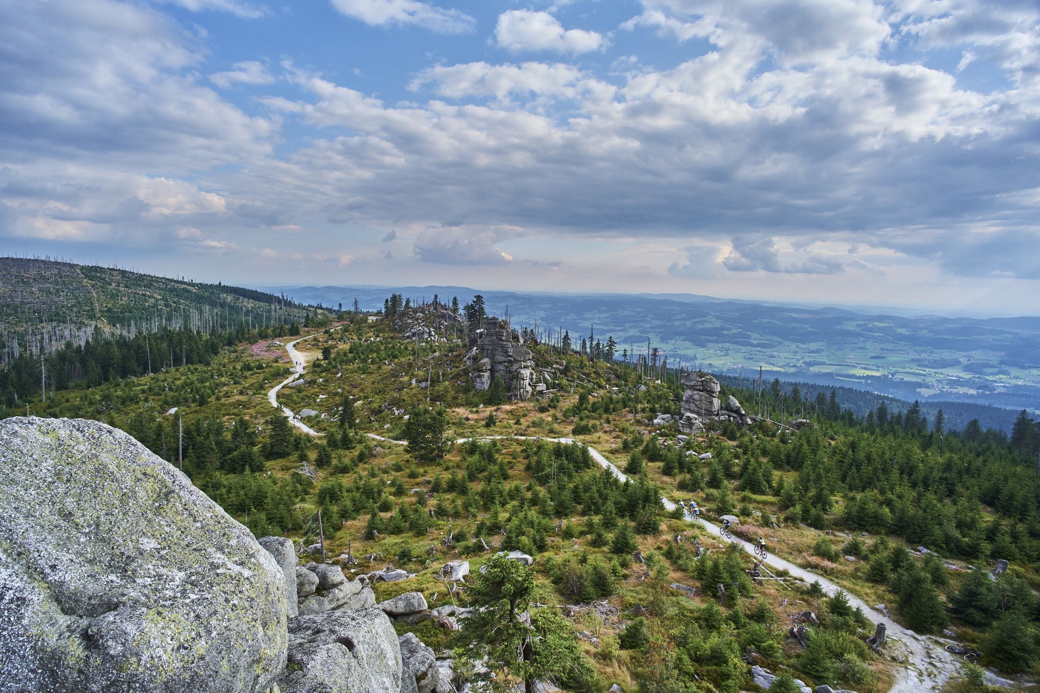
Trans Bayerwald – A mountain bike adventure through Bavaria's finest nature

The Goldsteig – 38 stages between Upper Palatinate and Passau
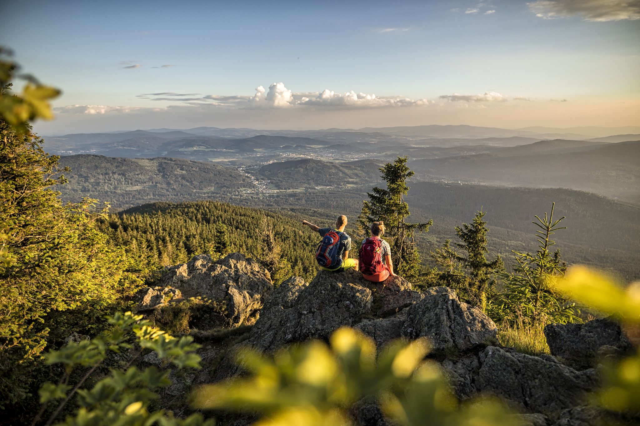
Hiking tips for the Bavarian Forest
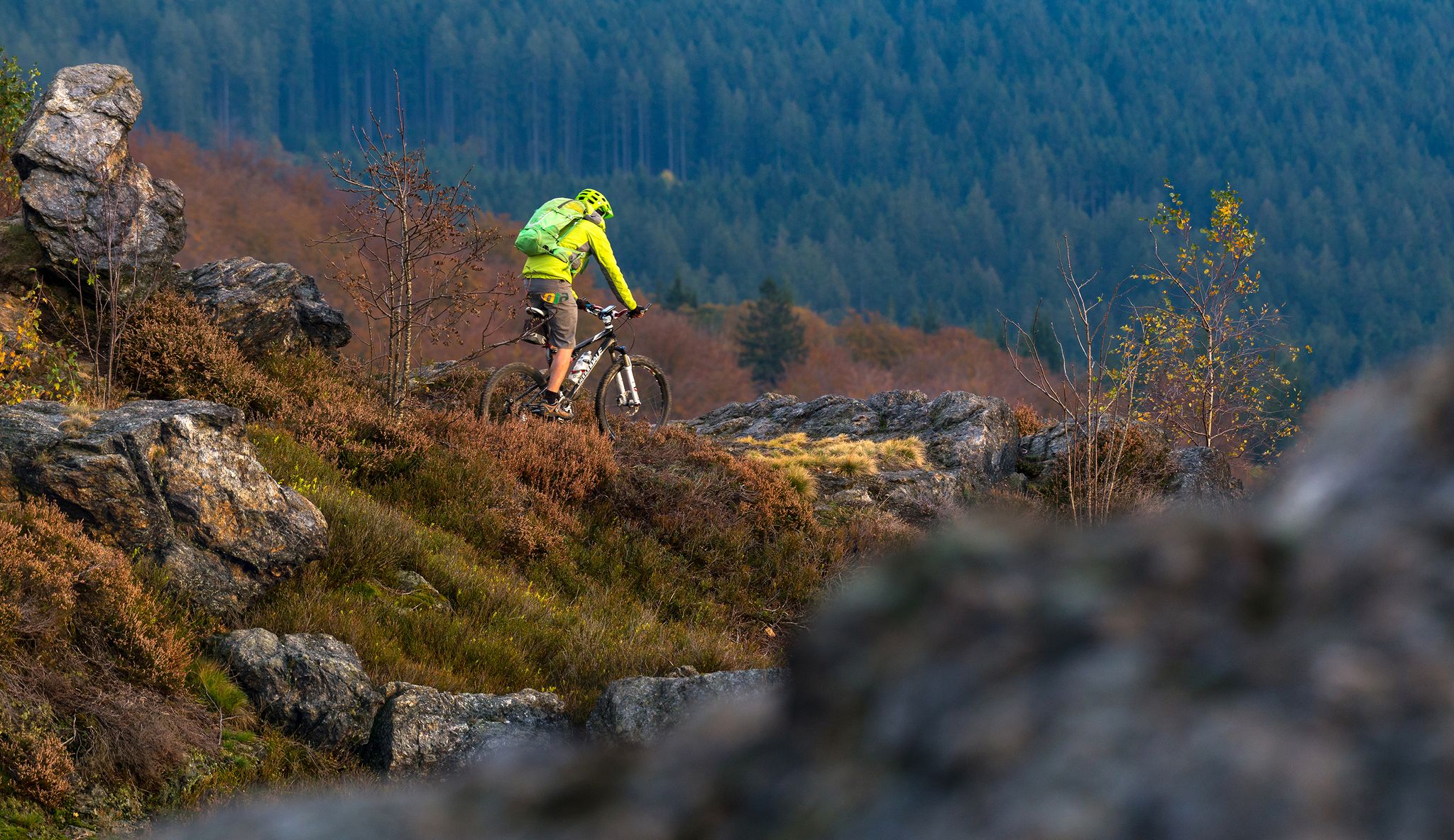
A 3-day bike adventure in Arberland
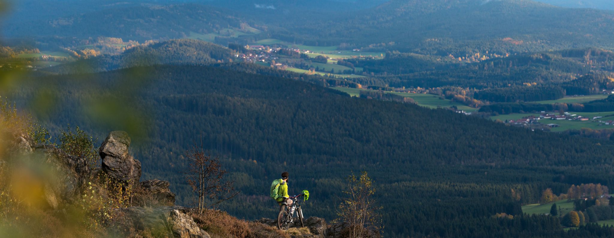
Auf der ARBERLAND-Runde vier Tage den Bayerischen Wald genießen
Hiking around Bischofsmais
MTB Trails around Bischofsmais
Cycling around Bischofsmais
Running Trails around Bischofsmais
Road Cycling Routes around Bischofsmais
Other adventures around Bischofsmais


Tips from the Community

The Schwellweiher is an idyllic, over 150-year-old forest lake in the Bavarian Forest. It is well hidden in a forest area between the villages of Bodenmais and Langdorf (district Brandten) in the Regen district. It formerly served as a water reservoir for timber rafting (floating logs on the river), and today it is a protected habitat for animals such as kingfishers, dragonflies, and tadpoles.
7
0

🚐 139 state-of-the-art pitches for motorhomes and caravans, sun-drenched and southeast-facing – ideal for long, leisurely days outdoors. 🌞
0
0


An ideal spot for romantic photos by the lake.
4
1

Beautiful pond! Pure relaxation and perfect for a few photos.
4
0
Beautiful, secluded pond in the middle of the forest. A very pleasant little place.
1
0

Possibility to start a tour from here
3
0
Class access Oberbreitenau
4
0
Frequently Asked Questions
What kind of terrain can I expect on gravel bike trails around Bischofsmais?
The gravel bike trails in Bischofsmais traverse the diverse landscape of the Bavarian Forest. You'll encounter dense woodlands, rolling hills, and elevated areas, including ascents towards summits like Geißkopf. The routes often feature varied terrain, from forest paths to open sections offering scenic views.
Are there gravel bike routes suitable for beginners or families in Bischofsmais?
Yes, Bischofsmais offers a range of routes for different skill levels. While many trails involve moderate climbs, there are options that are less demanding. For a moderate, family-friendly option, consider the View of Großer Arber – Picnic Spot by the River Regen loop from Stadlhof, which is 8.5 miles (13.6 km) long and offers pleasant forest sections and river views.
How many gravel bike trails are available in the Bischofsmais area?
There are over 40 gravel bike trails around Bischofsmais. The network includes 13 moderate routes and 29 more challenging options, ensuring there's something for every skill level.
Are there any circular gravel bike routes in Bischofsmais?
Yes, many of the gravel bike routes in Bischofsmais are designed as loops, allowing you to start and end at the same point. For example, the popular Oberbreitenau Raised Bog – Landshuter House loop from Greising is a 12.5-mile (20.0 km) circular trail exploring unique bog landscapes.
What are some notable viewpoints or natural attractions along the gravel trails?
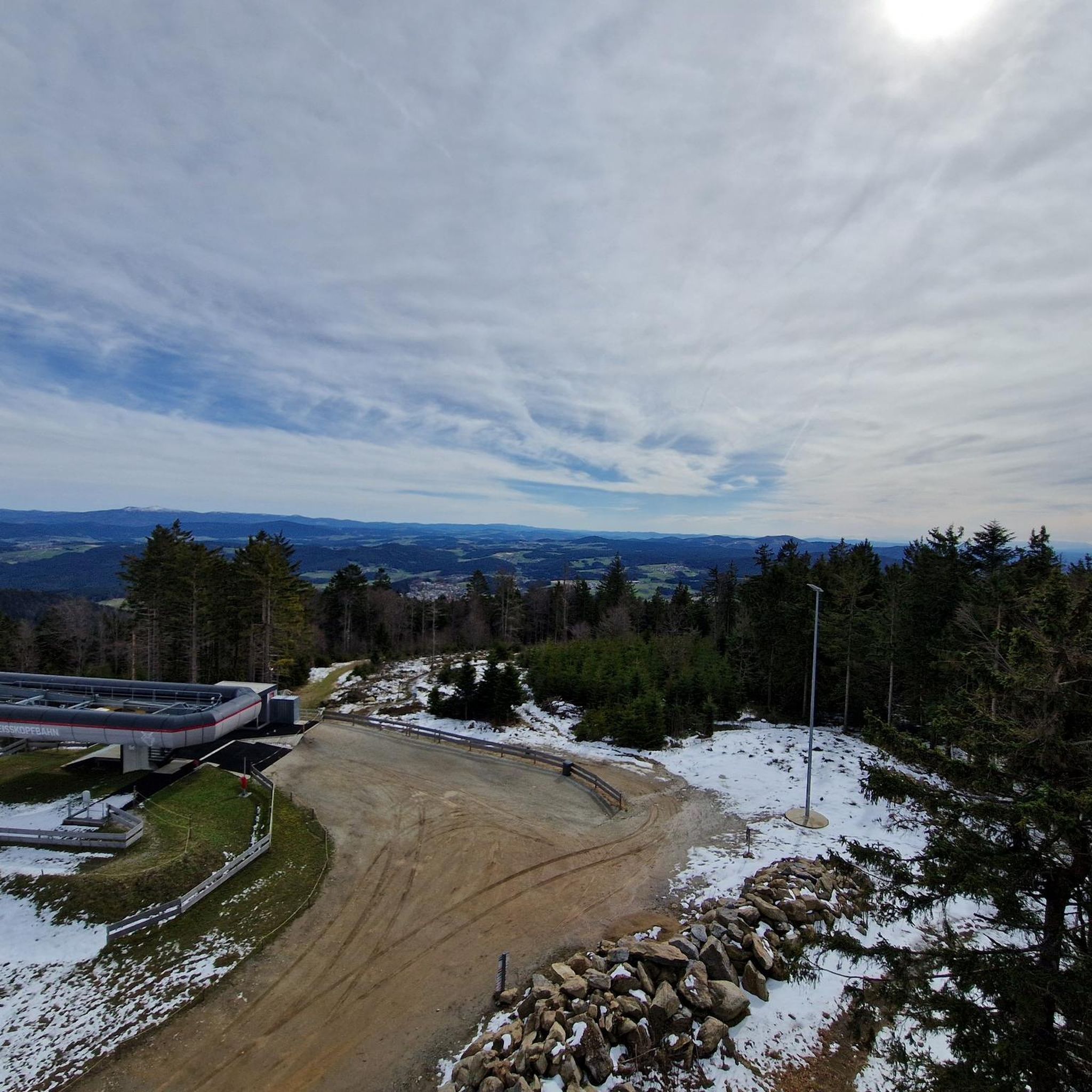
Many routes offer stunning views and pass by natural attractions. The Geißkopf Summit and Bike Park – View from Geißkopf loop from Triefenried leads to summit views from Geißkopf. You can also explore the unique Oberbreitenau Raised Bog, which is featured on several routes, or seek out the Rauher Kulm — Summit & Panoramic Viewpoint for expansive vistas.
What is the best time of year for gravel biking in Bischofsmais?
The best time for gravel biking in Bischofsmais is typically from spring through autumn (April to October), when the weather is mild and the trails are dry. During these months, you can fully enjoy the forest paths and open sections with clear views.
Are there any cafes or refreshment stops along the gravel bike routes?
While specific cafes directly on every trail are not guaranteed, many routes pass through or near villages where you can find refreshment options. Planning your route with komoot allows you to identify potential stops or highlights like the Weißenstein Castle and Alm, which might offer food and drink.
What are the options for advanced gravel bikers looking for a challenge?
Advanced riders will find plenty of challenging routes in Bischofsmais, with 29 difficult trails available. These often feature significant elevation gains. A demanding option is the Geißkopf Observation Tower – Geißkopf Summit and Bike Park loop from Einödriegel, which covers 13.4 miles (21.5 km) with substantial climbing.
Is there public transport access to the gravel bike trails in Bischofsmais?
Bischofsmais is part of the Bavarian Forest region, which has some public transport options. While direct access to every trailhead via public transport might be limited, it's advisable to check local bus schedules for connections to Bischofsmais and surrounding villages, which can serve as starting points for your rides.
What do other gravel bikers say about the trails in Bischofsmais?
The gravel biking experience in Bischofsmais is highly rated by the komoot community, with an average score of 4.6 stars from over 15 reviews. Many riders praise the varied terrain, the dense forests, and the rewarding views from elevated sections like Geißkopf.
Are there any historical sites or castles to see near the gravel routes?
Yes, the region around Bischofsmais is rich in history. You might encounter sites like the Weißenstein Castle Ruins or the Egg Castle. Some routes, such as the Oberbreitenau Raised Bog – Geisskopf Bike Park loop from Bavarian Forest, pass through areas where you can easily detour to explore these historical landmarks.
Most popular routes around Bischofsmais
Most popular attractions around Bischofsmais

Get inspired with the komoot mobile app


Explore more
Browse the best Gravel rides in other regions.
