The best running trails around Kopfing im Innkreis
4.5
(45)
1,115
runners
142
runs
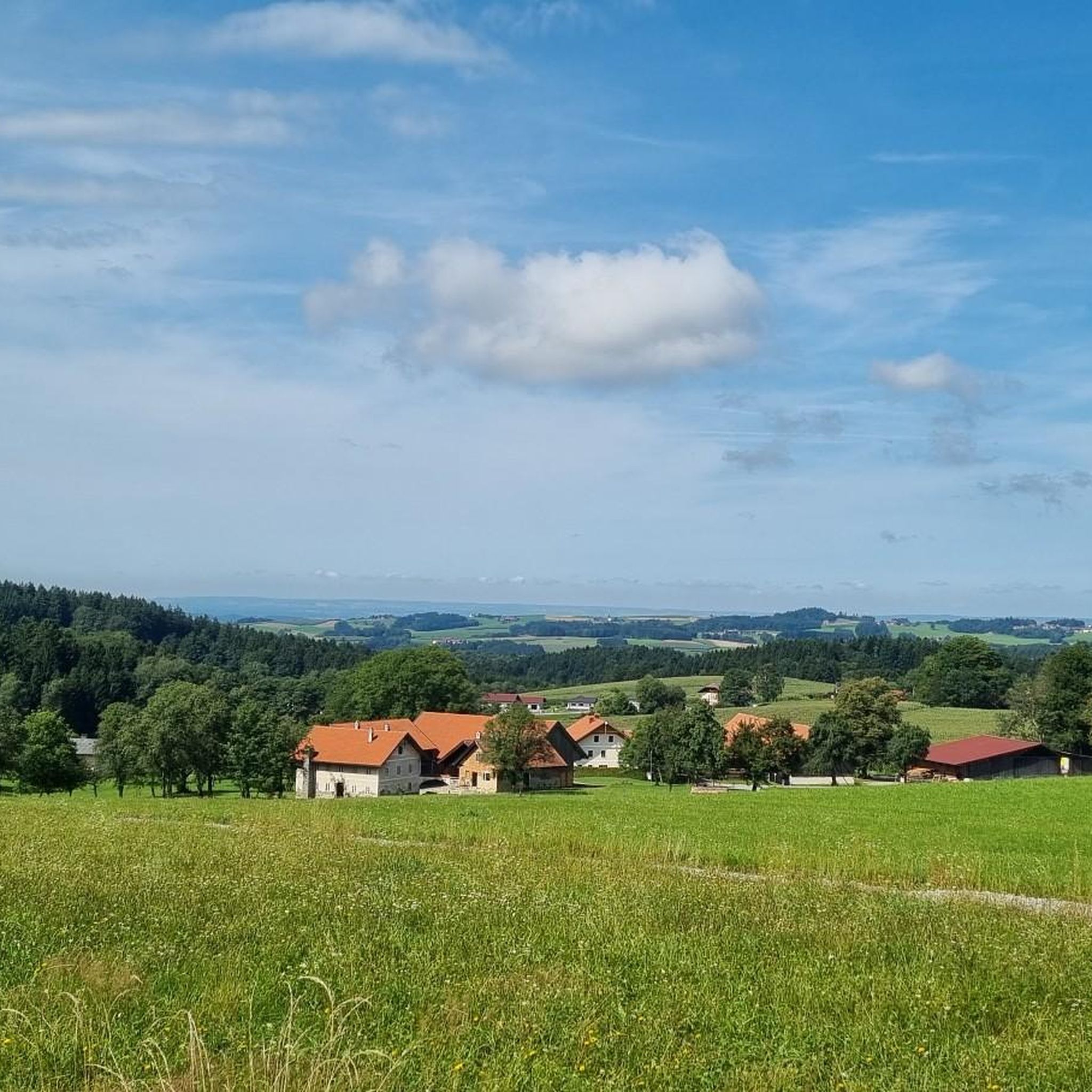
Jogging routes Kopfing im Innkreis traverse a scenic, sunny hillside location, characterized by picturesque rural landscapes and wooded regions. The area is defined by its diverse natural features, including the extensive Sauwald forest and the prominent Innviertel Hills. Runners can explore a well-developed network of trails that wind through these natural settings, offering varied terrain for different fitness levels.
Best jogging routes around Kopfing im Innkreis
- The most popular jogging route is Running loop from Untermaggau, a 5.1 miles…
Last updated: May 15, 2026
13
runners
8.23km
00:52
70m
70m
Moderate run. Good fitness required. Mostly paved surfaces. Suitable for all skill levels.
6
runners
7.15km
00:45
70m
70m
Moderate run. Good fitness required. Mostly paved surfaces. Suitable for all skill levels.

Sign up for free
5
runners
Moderate run. Good fitness required. Mostly paved surfaces. Suitable for all skill levels.
5
runners
5.16km
00:35
40m
40m
Moderate run. Good fitness required. Mostly paved surfaces. Suitable for all skill levels.
6
runners
4.48km
00:28
50m
50m
Easy run. Great for any fitness level. Mostly paved surfaces. Suitable for all skill levels.
Get access to more routes and recommendations from other explorers.
Sign up for free
Already have an account?
Our route recommendations are based on thousands of hikes, rides, and runs completed by other people on komoot.
Start today with a free account
Your next adventure awaits.
Login or Signup
Popular around Kopfing im Innkreis



Other adventures around Kopfing im Innkreis

Tips from the Community

Von Knechtlsdorf nach Wollmannsdorf
0
0

It's always a nice walk uphill and downhill.
2
0

The section is much more exciting on a mountain bike than the parallel road - but I didn't find any view of the hilly country here - it's more likely to be found on the road at the edge of the forest.
0
0
In Wllmannsdorf blühendes Rapsfeld
0
0
St. Willibald is located at an altitude of 455 m in the Sauwald. The extension is 4.7 km from north to south and 6 km from west to east. The total area is 14.5 km². 28.3% of the area is forested, 62.8% of the area is used for agriculture.
0
0

The church with its distinctive tower was built in the 15th and 16th centuries and replaced a previous building. The church tower was damaged by fire in 1732 and 1881 and the church was completely renovated between 1899 and 1912.
0
0
Frequently Asked Questions
How many running routes are available in Kopfing im Innkreis?
Kopfing im Innkreis offers a wide selection of over 140 running routes. These trails cater to various fitness levels, ranging from easy jogs to more challenging runs through the scenic landscape.
What kind of terrain can I expect on the running trails around Kopfing im Innkreis?
The running trails in Kopfing im Innkreis traverse a diverse landscape, including picturesque rural areas, wooded regions, and sunny hillsides. You'll encounter paths winding through the extensive Sauwald forest and the prominent Innviertel Hills, offering varied surfaces and elevations.
Are there routes suitable for beginners or those looking for an easy run?
Yes, Kopfing im Innkreis has 15 easy running routes perfect for beginners or those seeking a relaxed pace. One such option is the Running loop from Kopfing im Innkreis, which is 4.5 km long and takes about 30 minutes to complete.
What about more challenging running trails for experienced runners?
For experienced runners, there are 15 difficult routes available in Kopfing im Innkreis. These trails often feature significant elevation changes and more demanding terrain, providing a good workout amidst the region's natural beauty.
Are there any scenic viewpoints or natural landmarks to discover while running?
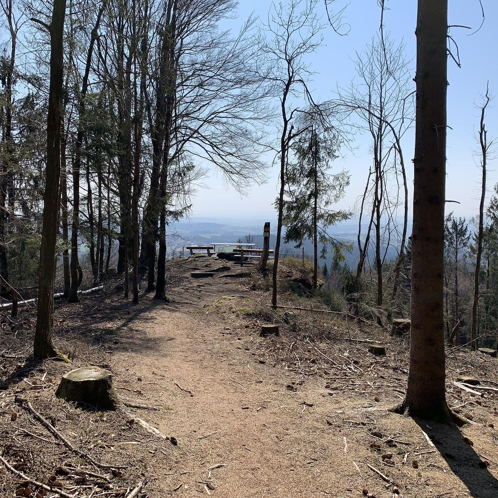
Absolutely! The region is rich in natural landmarks. You can find stunning vistas like the Penzenstein Viewpoint or the Ameisberg Summit. The Haugstein Summit (895 m), the highest mountain in the district, also offers expansive views.
Can I combine my run with a visit to a local attraction?
Yes, the renowned Baumkronenweg (Treetop Walk) in the Sauwald forest is a fantastic attraction. While not a traditional running path, its surrounding WaldEntdeckerWelt features adventure elements and a unique perspective of the forest. You could incorporate a visit before or after your run.
Are the running routes in Kopfing im Innkreis generally circular?
Many of the running routes in Kopfing im Innkreis are designed as loops, offering convenient circular paths. For example, the Running loop from Natternbach is a moderate 5.2 km circular trail.
What do other runners enjoy the most about jogging in Kopfing im Innkreis?
The running routes in Kopfing im Innkreis are highly rated by the komoot community, with an average score of 4.5 stars from over 40 reviews. Runners often praise the diverse terrain, the beautiful rural landscapes, and the well-maintained network of trails that cater to various ability levels.
Are there any running routes that pass by bodies of water?
While Kopfing im Innkreis is more known for its hills and forests, you can find routes that offer glimpses of water features. For instance, highlights like the Konzinger Steg — Footbridge over the Ranna Reservoir or the Ranna Reservoir Dam are nearby and could be incorporated into a longer exploration.
Are there family-friendly running options in the area?
The region offers several easy and moderate routes suitable for families. The accessible nature of attractions like the Baumkronenweg, with its gentle ramps and adventure playground, suggests that the surrounding trails are also generally family-friendly for light jogging or walking.
Can I find running routes with significant elevation gain for a more intense workout?
Yes, the presence of the Haugstein (895m) and Ameisberg summits, along with the Innviertel Hills, means there are plenty of routes with notable elevation changes. These are ideal for runners looking to challenge themselves with uphill climbs and descents.
What is a good moderate running route to try in Kopfing im Innkreis?
A popular moderate option is the St. Willibald Parish Church loop from St. Willibald. This 7.2 km path offers pleasant views of the church and surrounding rural landscapes, typically taking about 45 minutes to complete.
Most popular routes around Kopfing im Innkreis
Most popular attractions around Kopfing im Innkreis

Get inspired with the komoot mobile app


Explore more
Browse the best Running Trails & Routes in other regions.
