The best mountain hikes around Grosselfingen
4.5
(3)
16
hikers
2
hikes
Mountaineering around Grosselfingen offers routes through the scenic Swabian Jura, characterized by varied terrain and panoramic viewpoints. The region features a mix of forested paths and open sections, providing diverse experiences for mountaineers. Elevations are moderate, making the area accessible for different skill levels while still offering rewarding climbs.
Best mountaineering routes around Grosselfingen
- The most popular mountaineering route is View of the Swabian Jura – View of the Swabian Jura loop from Zollernalb, an 8.4 miles (13.5 km)…
Last updated: July 1, 2026
5.0
(2)
11
hikers
13.5km
04:09
450m
450m
Hard mountaineering route. Good fitness required. Sure-footedness, sturdy shoes and alpine experience required.
4.0
(1)
3
hikers
Moderate mountaineering route. Good fitness required. Mostly accessible paths. Sure-footedness required.

Sign up for free
2
hikers
Easy mountaineering route. Great for any fitness level. Easily-accessible paths. Suitable for all skill levels.
Our route recommendations are based on thousands of hikes, rides, and runs completed by other people on komoot.
Start today with a free account
Your next adventure awaits.
Login or Signup
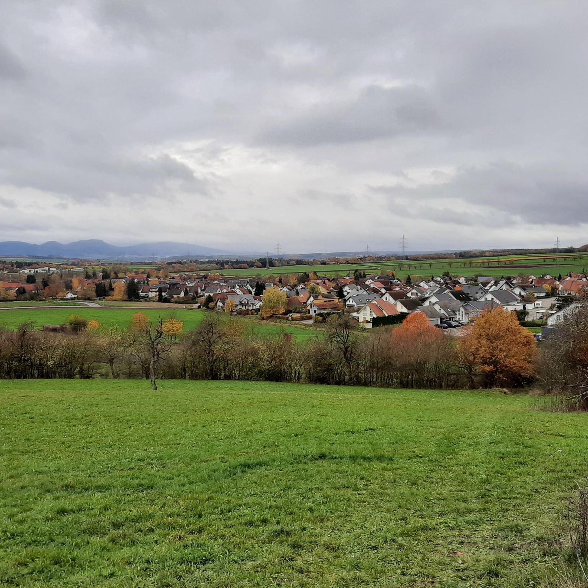
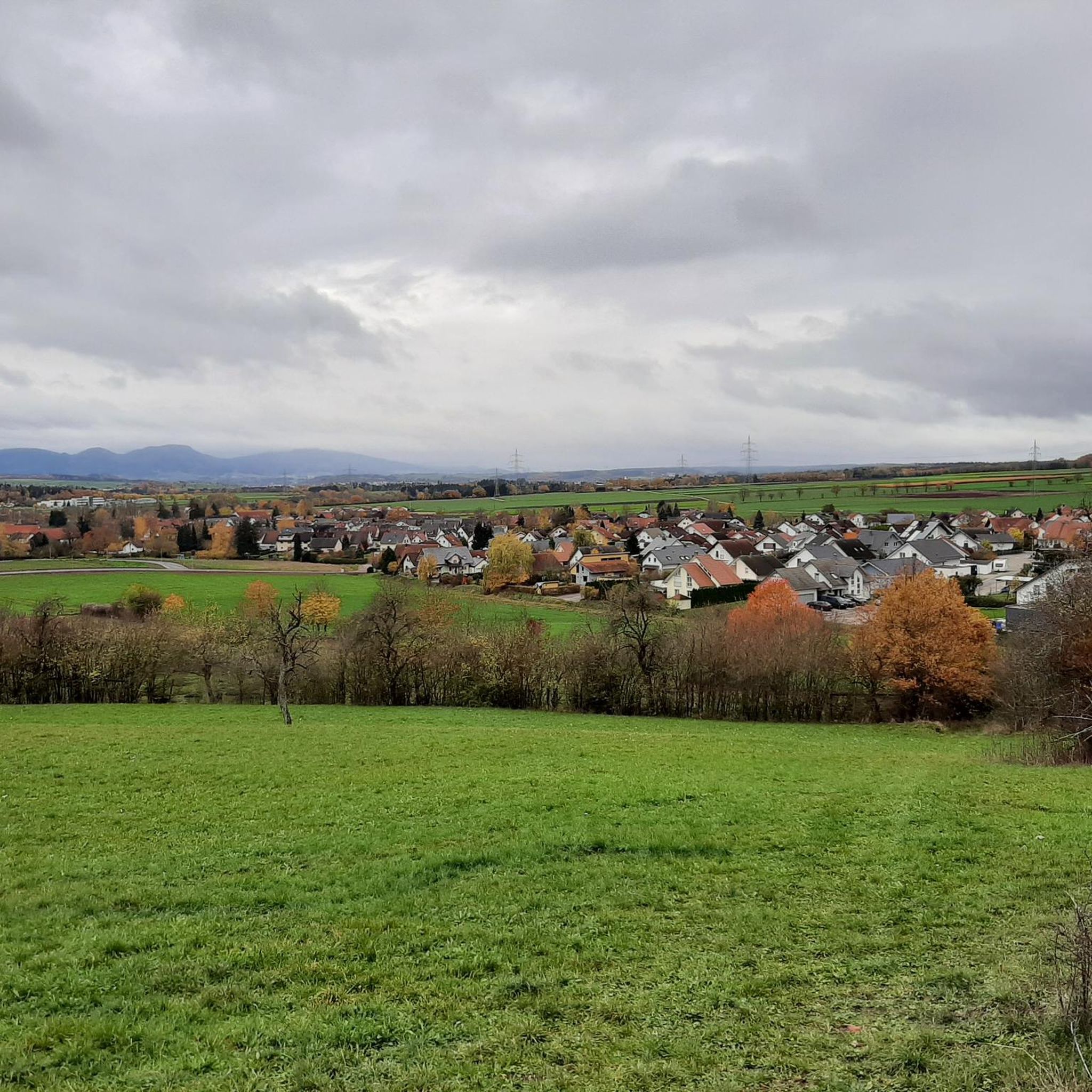
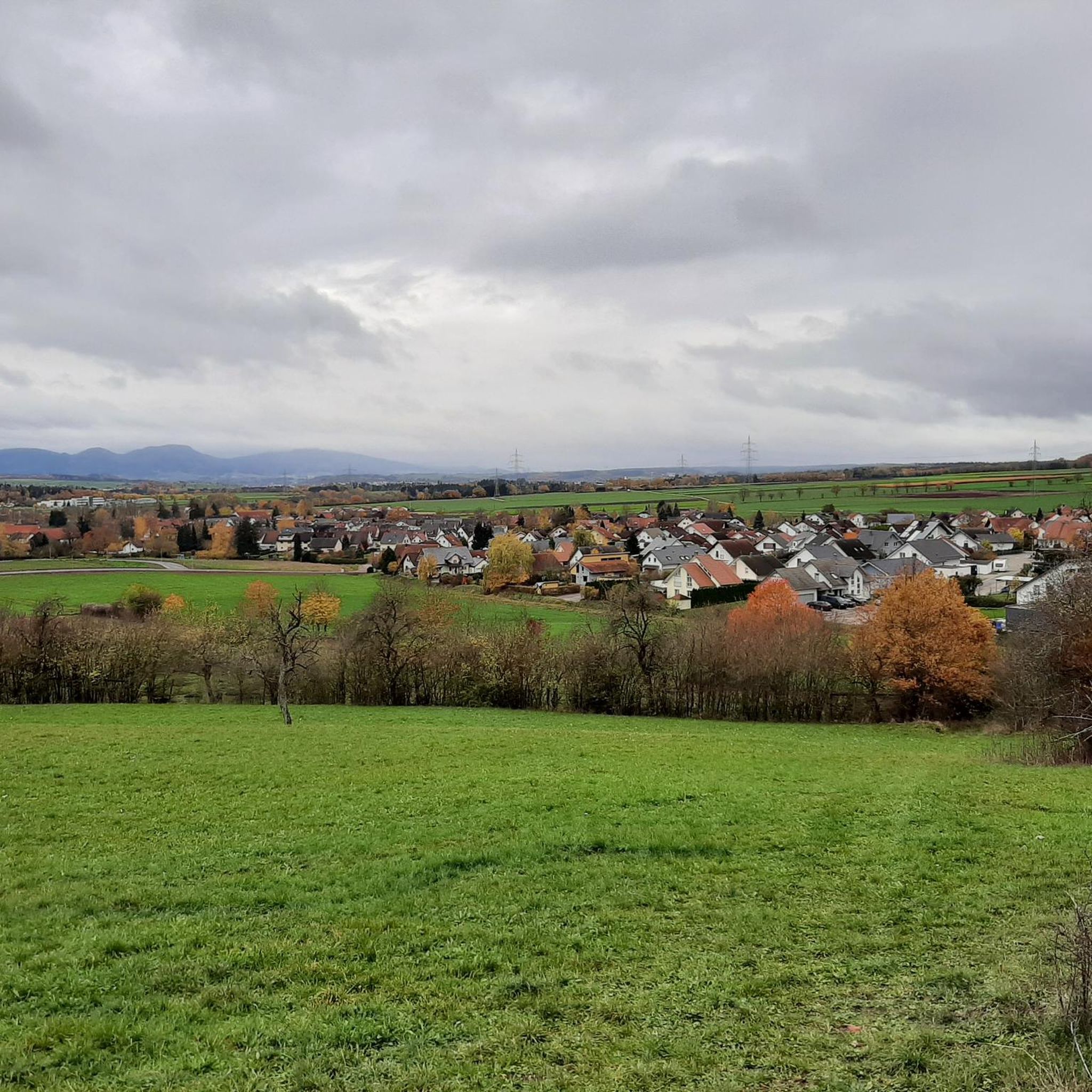
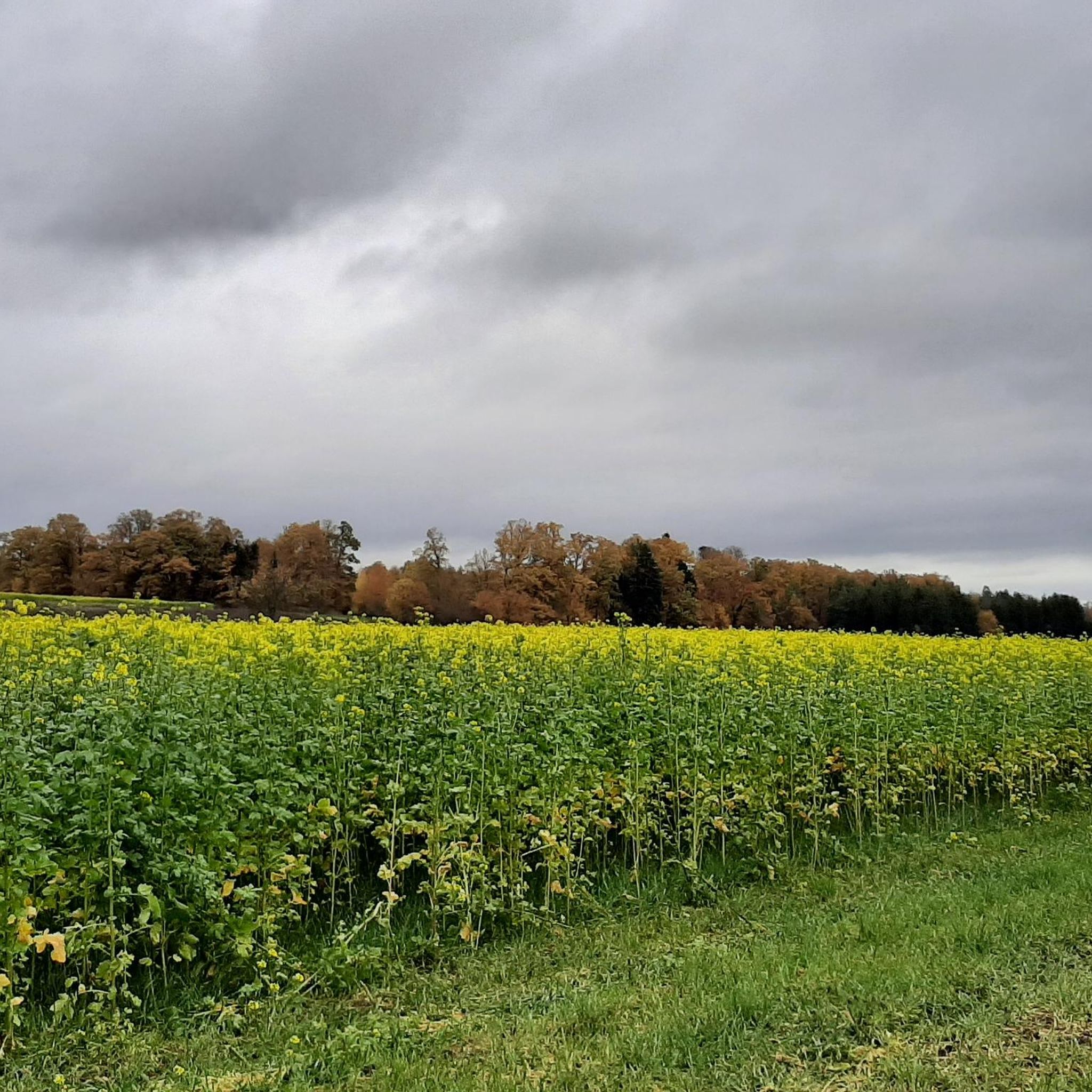
Tips from the Community

Nice place for a break at Raichberg - Zollernalbkreis
0
0

Very nice place with great view
1
0

The Stations of the Cross were only built in 2001. Approximately in the middle is the bubbling Marienbrünnele, built in 1974.
11
0
The pilgrimage site is idyllically situated. It can also be accessed via the cloister, built in 2001. The name Maria Zell derives from the Zell settlement, which was abandoned in the 15th century. A small cemetery is attached.
11
0
Winter Wonderland ❄❄❄ - View of the Südwestrundfunk radio mast 🗼 on Raichberg, 956 m above sea level - Albstadt-Onstmettingen - ZAK Nice rest area with benches and tables, ideal for a break 👍
1
0

Coming from the Hangender Stein - on the left opposite the Backofenfelsen.
2
0

I love these rocks
1
0
A very nice resting place
1
0
Frequently Asked Questions
What is the general difficulty level of mountaineering routes around Grosselfingen?
Mountaineering around Grosselfingen offers a range of difficulties. You'll find routes suitable for various skill levels, from easier paths like the Path to the Zeller Horn view – Hangender Stein Viewpoint loop from Zellerhornwiese, which is 4.9 km long with 120 meters of ascent, to more challenging ascents such as the difficult View of the Swabian Jura – View of the Swabian Jura loop from Zollernalb, spanning 13.5 km with 445 meters of elevation gain.
Are there any family-friendly mountaineering routes in Grosselfingen?
Yes, for families or those seeking a less strenuous experience, the Path to the Zeller Horn view – Hangender Stein Viewpoint loop from Zellerhornwiese is an excellent choice. This easy 4.9 km route takes about 1 hour 25 minutes to complete, offering varied forest and open sections without significant climbs.
What kind of views can I expect on mountaineering routes near Grosselfingen?
The routes around Grosselfingen are renowned for their scenic viewpoints across the Swabian Jura. Many trails offer expansive vistas, including views of Hohenzollern Castle. Notable viewpoints include the Hangender Stein Viewpoint and the View of Hohenzollern Castle from the Zeller Horn.
Are there any circular mountaineering routes available in Grosselfingen?
Yes, several routes are designed as loops, allowing you to start and end at the same point. Examples include the View of the Swabian Jura – View of the Swabian Jura loop from Zollernalb and the Hangender Stein Viewpoint – Backofenfelsen Viewpoint loop from Zellerhornwiese, both offering a complete circular experience.
What are some interesting landmarks or attractions to see along the mountaineering routes?
Beyond the natural beauty, you can discover several landmarks. The routes often pass by prominent viewpoints like Hangender Stein Viewpoint and offer stunning perspectives of Hohenzollern Castle. You might also encounter unique geological features like the Hohenzollerngraben.
How long do mountaineering routes near Grosselfingen typically take to complete?
The duration varies significantly by route and your pace. For instance, the easier Path to the Zeller Horn view can be completed in about 1 hour 25 minutes, while more challenging routes like the View of the Swabian Jura loop typically take around 4 hours 9 minutes.
What do other mountaineers enjoy most about the routes in Grosselfingen?
The mountaineering routes in Grosselfingen are highly rated by the komoot community, with an average score of 4.5 stars. Reviewers often praise the diverse terrain, from forested paths to open sections, and the rewarding panoramic viewpoints across the Swabian Jura.
Are there any beginner-friendly mountaineering routes in Grosselfingen?
Yes, beginners can enjoy the Path to the Zeller Horn view – Hangender Stein Viewpoint loop from Zellerhornwiese. This route is classified as easy, covering 4.9 km with a moderate elevation gain of 120 meters, making it a great introduction to mountaineering in the region.
What is the elevation gain like on mountaineering routes in Grosselfingen?
The elevation gain on routes around Grosselfingen is moderate, making the area accessible while still offering rewarding climbs. For example, the easy Path to the Zeller Horn view has an ascent of 120 meters, while the more difficult View of the Swabian Jura loop involves about 445 meters of climbing.
What kind of terrain can I expect on the mountaineering routes around Grosselfingen?
The terrain around Grosselfingen is varied, characteristic of the Swabian Jura. You'll encounter a mix of forested paths, offering shade and natural beauty, and open sections that provide expansive views. The paths are generally well-maintained, suitable for mountaineering.
Most popular routes around Grosselfingen
Most popular attractions around Grosselfingen

Get inspired with the komoot mobile app


Explore more
Browse the best Mountain Hikes & Routes in other regions.
