The best running trails around Burgrieden
4.4
(23)
263
runners
29
runs
Jogging routes around Burgrieden traverse a landscape characterized by green meadows, gentle hills, and forested areas, providing varied terrain for runners. The region offers easily accessible paths suitable for different skill levels, including routes through dense forests and open fields. Runners can explore the serene Waldsee (forest lake) area or utilize sections of the well-maintained Donauradweg (Danube Cycle Path) for flatter, longer runs.
Best jogging routes around Burgrieden
- The most popular jogging route is Running loop from Laupheim Air Base…
Last updated: July 8, 2026
4.0
(1)
54
runners
Moderate run. Good fitness required. Mostly paved surfaces. Suitable for all skill levels.
5.0
(1)
18
runners
5.96km
00:38
20m
20m
Moderate run. Good fitness required. Mostly paved surfaces. Suitable for all skill levels.

Sign up for free
13
runners
6.38km
00:40
50m
50m
Moderate run. Good fitness required. Mostly paved surfaces. Suitable for all skill levels.
2.7
(13)
12
runners
5.49km
00:34
40m
30m
Moderate run. Good fitness required. Mostly paved surfaces. Suitable for all skill levels.
11
runners
Moderate run. Good fitness required. Mostly paved surfaces. Suitable for all skill levels.
Get access to more routes and recommendations from other explorers.
Sign up for free
Already have an account?
Our route recommendations are based on thousands of hikes, rides, and runs completed by other people on komoot.
Start today with a free account
Your next adventure awaits.
Login or Signup
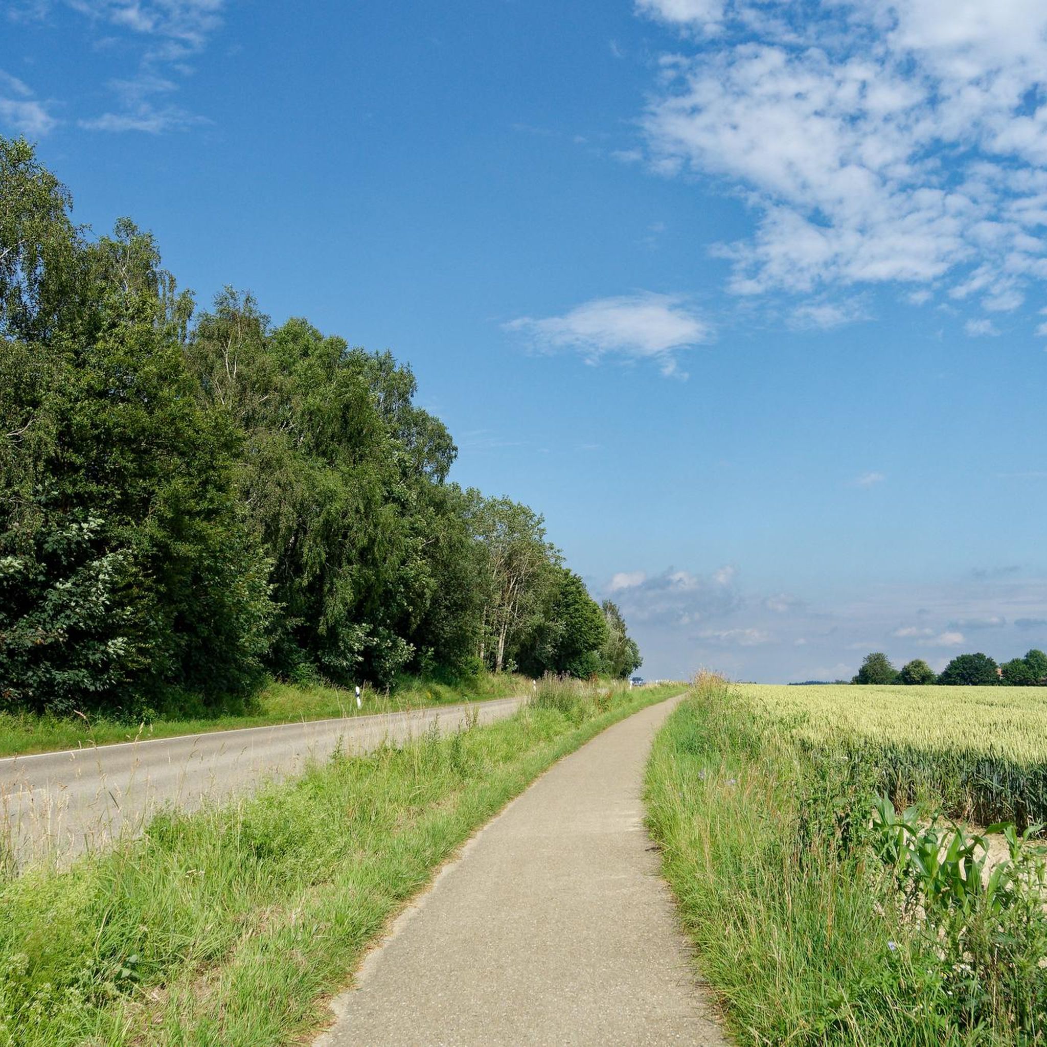
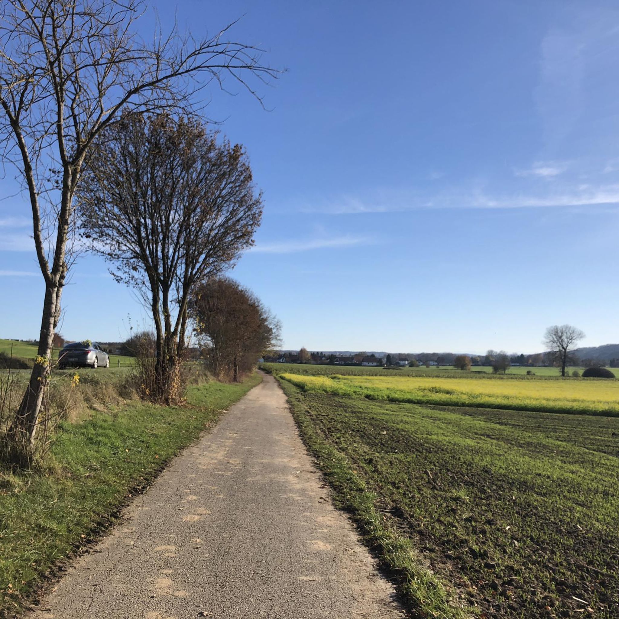
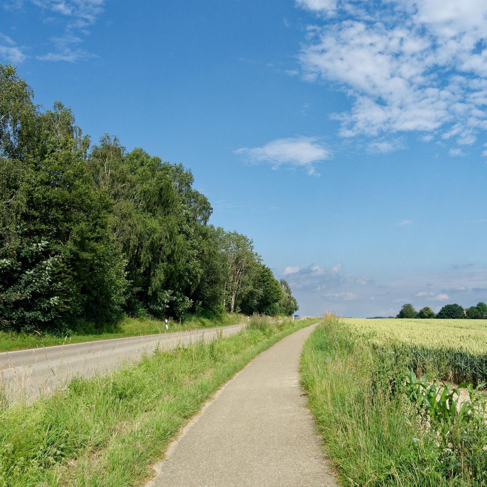
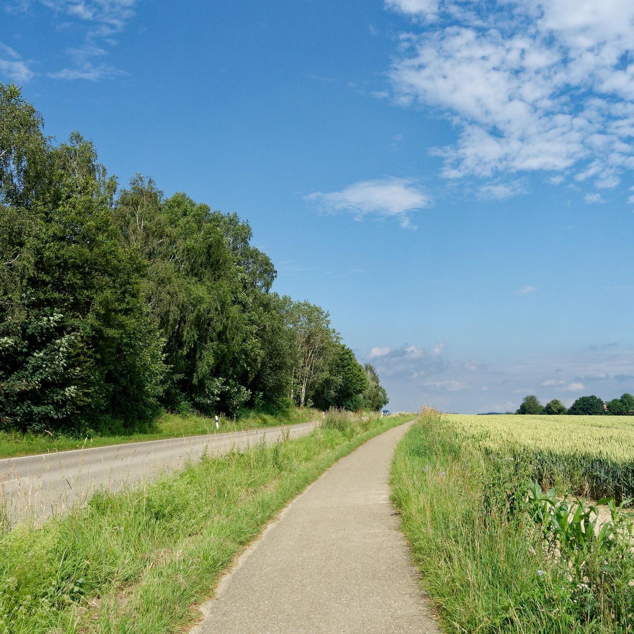
Tips from the Community

It was supposed to be the railway supply route from Bronnen to the nearby military airport in Laupheim for aviation fuel, was never completed and today "serves" the DAV for free climbing.
1
0

Beautiful place, interesting info sheet in the chapel
0
0

The park is also ideal for games, sports and barbecues.
0
0
A converted bridge ruin - climbing routes with almost all levels of difficulty
0
0
A really nice round in between
1
0
Frequently Asked Questions
How many running routes are available around Burgrieden?
There are over 30 running routes around Burgrieden, offering a variety of options for different skill levels. You'll find everything from easy loops to more challenging moderate paths, all highly rated by the komoot community.
What kind of terrain can I expect on the running trails in Burgrieden?
The running trails in Burgrieden traverse a diverse landscape characterized by green meadows, gentle hills, and forested areas. You can expect a mix of easily accessible paths through dense forests, open fields, and some sections that might include well-maintained gravel paths, especially near natural features like the Waldsee.
Are there any running routes in Burgrieden that offer scenic views or natural features?
Yes, Burgrieden's running routes often feature beautiful natural scenery. You can explore the serene Waldsee (forest lake) area for a peaceful run. Additionally, sections of the nearby Donauradweg (Danube Cycle Path) offer well-maintained, flat paths with scenic views, particularly where it runs through the Swabian Alb Geopark. For specific viewpoints, consider the View Towards the Airport – Laupheim Water Tower loop from Burgrieden.
Are there any family-friendly running paths in Burgrieden?
Burgrieden offers several easily accessible paths suitable for various skill levels, making many of them suitable for families. Routes that are flatter and shorter, often through meadows or along well-maintained paths, would be ideal. While specific 'family-friendly' routes aren't explicitly tagged, the general character of the region with its gentle hills and green spaces lends itself to enjoyable family outings.
Can I bring my dog on the running trails in Burgrieden?
Generally, dogs are welcome on most outdoor trails in Germany, including those around Burgrieden. However, it's always advisable to keep your dog on a leash, especially in forested areas, near wildlife, or when passing through agricultural land. Please be mindful of local regulations and other trail users.
What do other runners enjoy most about jogging in Burgrieden?
The running routes in Burgrieden are highly rated by the komoot community, with an average score of 4.4 stars from over 20 reviews. Runners often praise the varied terrain, the tranquil green meadows, and the peaceful forested paths that provide a refreshing escape into nature. The mix of easy loops and moderate challenges also caters to a wide range of abilities.
Are there any historical or cultural landmarks I can see while running near Burgrieden?
While running directly within Burgrieden, you might encounter local points of interest. The broader region is crisscrossed by significant long-distance routes like the Upper Swabian Pilgrimage Route and the Upper Swabian Baroque Route. Sections of these routes, accessible from Burgrieden, can lead you past charming towns, monasteries, and castles, offering a blend of natural beauty and cultural heritage. For specific highlights, consider the Baroque Historic Center of Oberdischingen.
Are there any circular running routes available in Burgrieden?
Yes, many of the running routes around Burgrieden are designed as circular loops, allowing you to start and finish at the same point. Examples include the popular Running loop from Laupheim Air Base and the Dostenweiher loop from Heussenburg, which offers a pleasant run through natural surroundings.
What are some of the natural attractions near Burgrieden that are good for running?
Beyond the general green meadows and forests, the serene Waldsee (forest lake) is a notable natural attraction perfect for a peaceful run. You can also find scenic spots along the Rushing Iller River, which offers a refreshing environment for outdoor activity.
Are there any easy running routes for beginners in Burgrieden?
Yes, Burgrieden offers several easy running routes suitable for beginners. These paths typically feature minimal elevation changes and are well-maintained, making them ideal for those new to running or looking for a relaxed jog. The region's gentle hills and flat sections provide a welcoming environment for all fitness levels.
Where can I find parking for running routes in Burgrieden?
While specific parking areas for each route are not detailed, Burgrieden is a community that supports outdoor activities. You can often find public parking in or near the starting points of many routes, especially in residential areas or near local amenities. It's recommended to check local signage for parking regulations.
Are there any challenging running trails for experienced runners in Burgrieden?
While many routes are moderate, the region's varied terrain, including gentle hills and longer distances, can provide a good challenge. For example, the View Towards the Airport – Laupheim Water Tower loop from Burgrieden is a moderate 7.3-mile (11.7 km) path with some elevation, offering a more demanding experience for seasoned runners.
Most popular routes around Burgrieden
Most popular attractions around Burgrieden

Get inspired with the komoot mobile app


Explore more
Browse the best Running Trails & Routes in other regions.
