The best walks and hikes around Burgrieden
4.5
(1591)
9,693
hikers
54
hikes
Hiking around Burgrieden offers diverse landscapes within the Upper Swabia region of Baden-Württemberg, Germany. The area features a blend of spa landscapes, moors, and protected nature reserves. Hikers can explore forested areas, including the Holzstöcke, and enjoy routes around a nearby forest lake. The terrain generally consists of gentle elevations, making it accessible for various hiking abilities.
Best hiking trails around Burgrieden
- The most popular hiking route is Forest Lake – Bihlafinger Weiher loop from Heussenburg, a 7.1 miles…
Last updated: September 29, 2026
4.8
(11)
40
hikers
11.4km
03:01
100m
100m
Moderate hike. Good fitness required. Easily-accessible paths. Suitable for all skill levels.
5.0
(1)
19
hikers
Easy hike. Great for any fitness level. Easily-accessible paths. Suitable for all skill levels.

5.0
(1)
20
hikers
Easy hike. Great for any fitness level. Easily-accessible paths. Suitable for all skill levels.
5.0
(5)
18
hikers
6.64km
01:44
50m
50m
Easy hike. Great for any fitness level. Easily-accessible paths. Suitable for all skill levels.
5.0
(2)
30
hikers
5.78km
01:32
50m
50m
Easy hike. Great for any fitness level. Easily-accessible paths. Suitable for all skill levels.
Get access to more routes and recommendations from other explorers.
Already have an account?
Our route recommendations are based on thousands of hikes, rides, and runs completed by other people on komoot.
Start today with a free account
Your next adventure awaits.
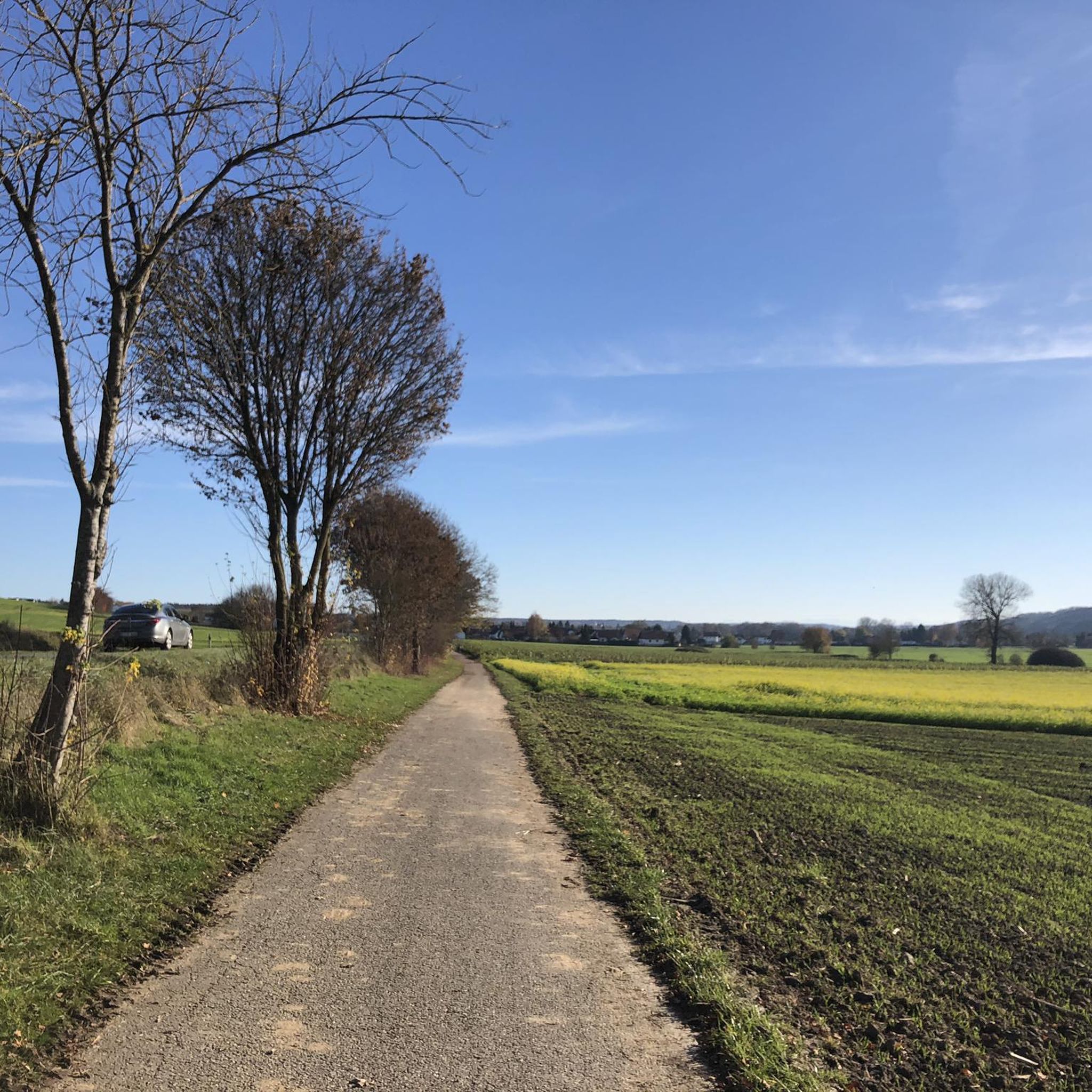
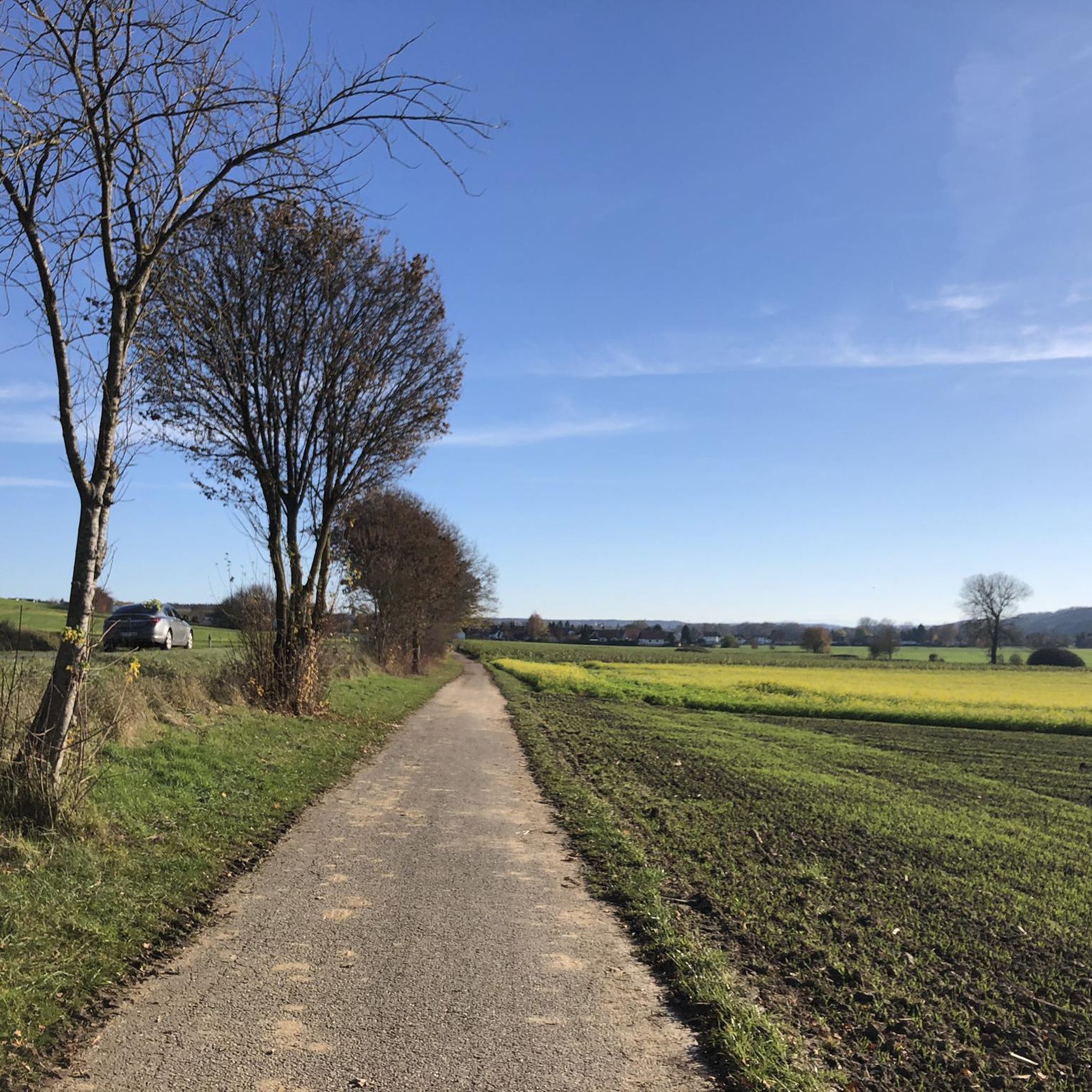
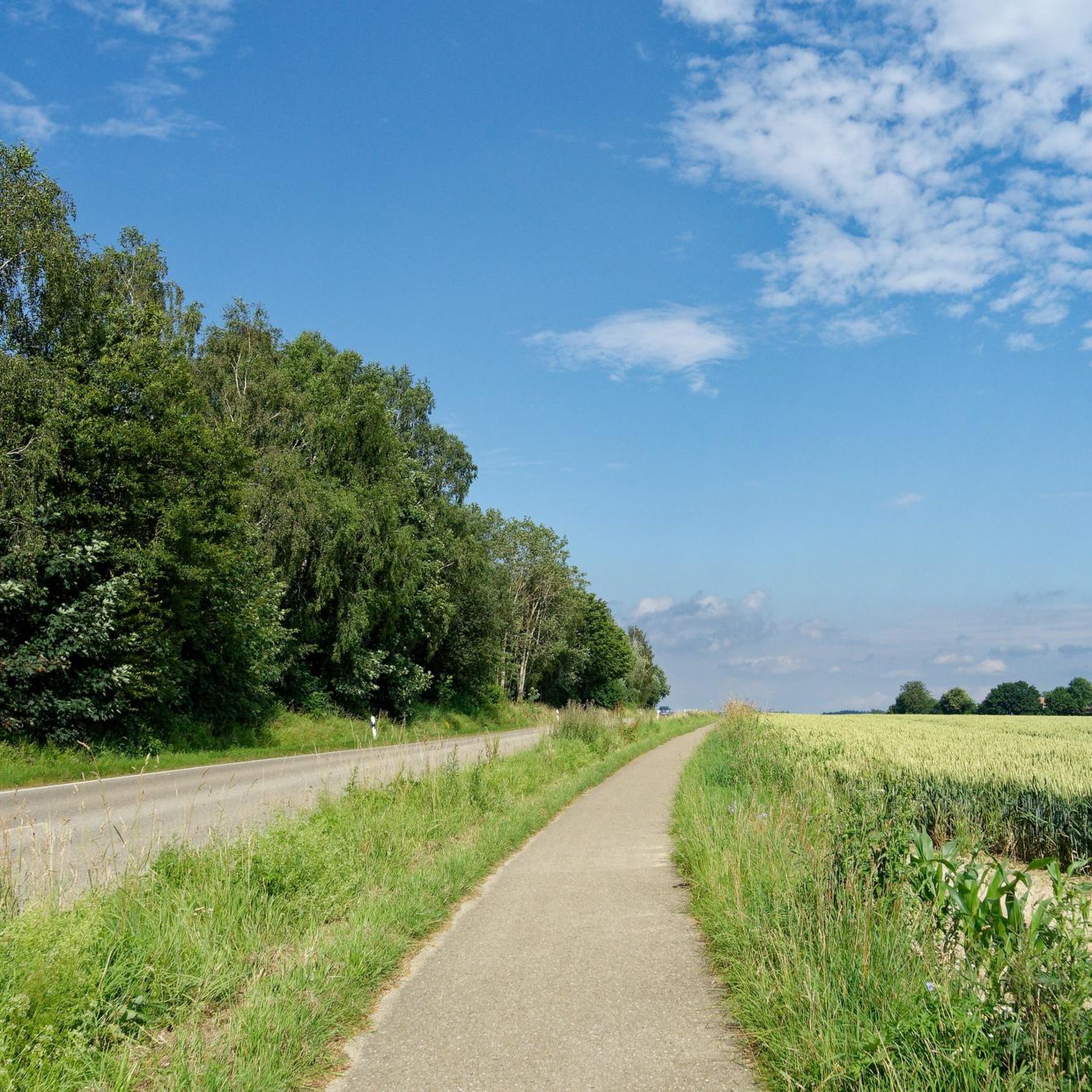
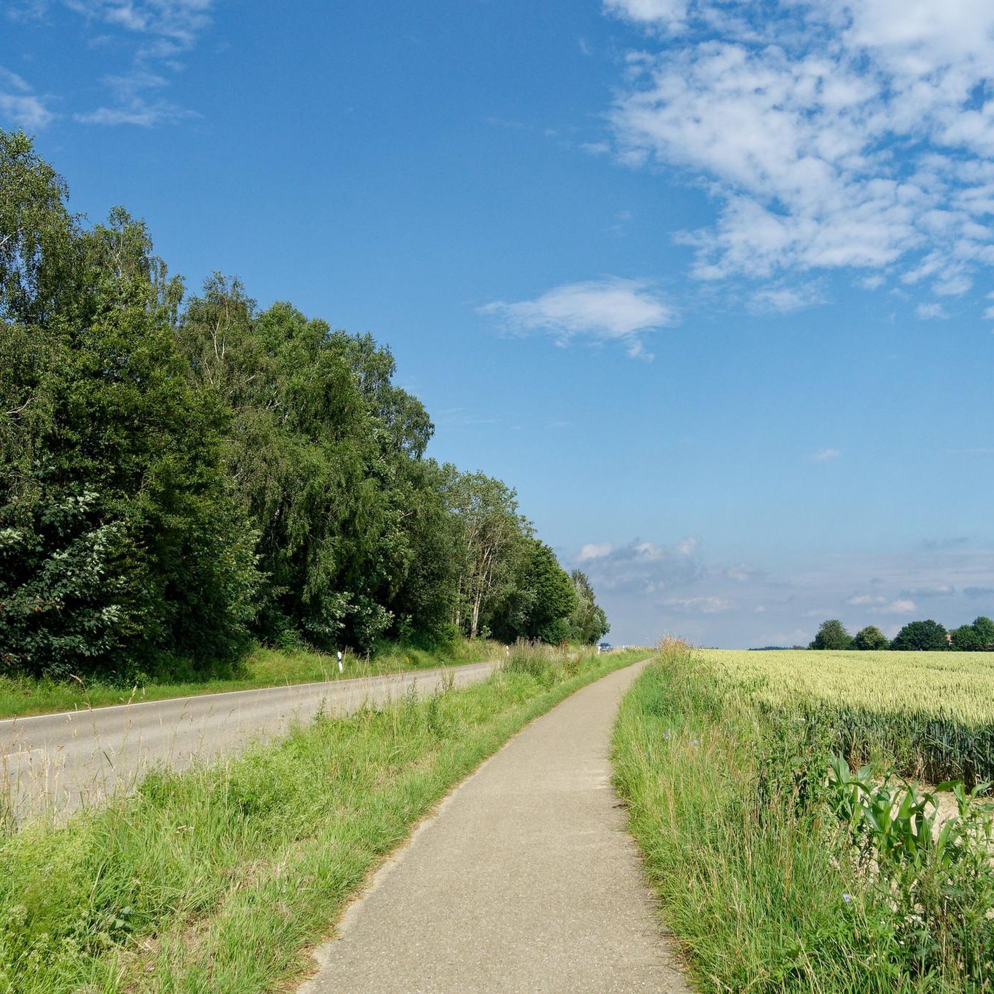
Tips from the Community

You can drive right up to the barbecue area. Public fireplace with plenty of benches right on the edge of the forest.
0
0
Quietly located in the middle of the forest. Also accessible for people with disabilities, as long as you can walk on gravel paths. Very quiet and a lovely place for everyone that you should definitely visit during a walk in the forest
1
0
Small pond in the middle of the forest. Quickly accessible from the sports field. Quiet, shady and easily accessible for everyone (large gravel path).
1
0
The place is very well maintained and clean. You can get there very quickly from the sports field/children's playground. Someone is really making an effort here and it shows.
0
0
It is very close to the sports field. You can park there and walk to the forest lakes. On the left side is the small hut with a bench. Really beautiful, shady and quiet.
0
0

Just beautiful. To enjoy and unwind.
0
0
An absolute gem in the middle of the forest. Come down, switch off, enjoy.
0
0

Bench with cross and figure of Mary
3
0
Frequently Asked Questions
How many hiking trails are available around Burgrieden?
Burgrieden offers a wide variety of hiking experiences, with over 50 trails available. These range from easy strolls to more moderate hikes, catering to different preferences and fitness levels.
What kind of terrain can I expect on hikes around Burgrieden?
The hiking trails around Burgrieden are characterized by diverse landscapes within Upper Swabia. You can expect a blend of serene spa landscapes, intriguing moors, and protected nature reserves. Many routes lead through forested areas, such as the Holzstöcke, and along a nearby forest lake. The terrain generally features gentle elevations, making it accessible for various hiking abilities.
Are there any circular walks in Burgrieden?
Yes, many of the hiking routes around Burgrieden are designed as circular walks, allowing you to start and end at the same point. For example, the Forest Lake – Bihlafinger Weiher loop from Heussenburg is a popular moderate option, and the Museum Villa Rot – Shrine of the Virgin Mary loop from Heussenburg offers an easy, culturally rich circular path.
What natural features or landmarks can I see while hiking in Burgrieden?
Hikers in Burgrieden can explore a variety of natural features and cultural landmarks. The region is known for its fascinating moors and nature reserves. You can also discover the serene Bihlafinger Weiher (Forest Lake) on routes like the Forest Lake – Bihlafinger Weiher loop from Heussenburg. Additionally, cultural highlights such as Pumptrack Staig and the Bellenberg Edge Trail are nearby.
Are there family-friendly hiking trails in Burgrieden?
Absolutely. Burgrieden offers several easy trails suitable for families. The Museum Villa Rot – Shrine of the Virgin Mary loop from Heussenburg is an easy 2.7-mile path that's great for a family outing. Many of the trails have gentle gradients, making them enjoyable for all ages.
Can I bring my dog on hikes in Burgrieden?
Most trails in Burgrieden are dog-friendly, allowing you to enjoy the beautiful scenery with your canine companion. It's always recommended to keep your dog on a leash, especially in nature reserves or near wildlife, and to carry waste bags. The Parish Church of St. George – Chapel in Hochstetten loop from Heussenburg is a good option for a walk with your dog.
What do other hikers say about the trails in Burgrieden?
The hiking routes in Burgrieden are highly regarded by the komoot community, with an impressive average rating of 4.8 stars from over 40 reviews. Hikers often praise the well-maintained paths, the diverse natural beauty, and the peaceful atmosphere of the Upper Swabian landscape.
Where can I park for hiking trails in Burgrieden?
Parking is generally available near the trailheads in and around Burgrieden. Specific parking information can often be found on individual route descriptions on komoot. For example, routes starting from Heussenburg typically have designated parking areas nearby.
How can I reach hiking trails in Burgrieden by public transport?
Burgrieden is connected to the regional public transport network. While direct access to every trailhead might vary, you can often reach the starting points of many hikes by bus from larger towns in the area. Checking local bus schedules for connections to Burgrieden and its surrounding villages is advisable.
Are there cafes or restaurants near hiking trails in Burgrieden?
Yes, you'll find options for refreshments in Burgrieden and the surrounding villages. After a hike, you can enjoy a meal or a drink at local cafes, pubs, or restaurants. Some trails, like the Parish Church of St. George – Chapel in Hochstetten loop from Heussenburg, pass through villages where such establishments are available.
Are hiking permits required in Burgrieden?
No, hiking permits are generally not required for the public trails in Burgrieden or the surrounding Upper Swabia region. You are free to explore the marked paths and enjoy the natural beauty without needing a special permit.
What is the best time of year to hike in Burgrieden?
Burgrieden offers enjoyable hiking experiences throughout much of the year. Spring brings blooming wildflowers and fresh greenery, while autumn showcases vibrant fall colors. Summer is ideal for longer days and warmer weather. Even in winter, some trails can be beautiful, especially after a fresh snowfall, though conditions should be checked for ice or heavy snow.
Most popular routes around Burgrieden
Most popular attractions around Burgrieden

Get inspired with the komoot mobile app


Explore more
Browse the best Hikes in other regions.
