The best running trails around Schwäbisch Gmünd
4.5
(716)
11,993
runners
670
runs
Jogging around Schwäbisch Gmünd offers diverse landscapes at the foot of the Swabian Alb and the Dreikaiserberge. The region is characterized by varied terrain, including the wide plateau of Kaltes Feld with its junipers and meadows, and the scenic Rems Valley. Runners can find routes that traverse forests, open fields, and follow paved paths along the river. The area provides a mix of elevations, from gentle valley runs to more challenging ascents towards prominent hills like Hohenstaufen and Rechberg.
Best jogging routes around Schwäbisch Gmünd
- The most popular jogging route is View Near Ottenbach – Playground Near Ottenbach loop from Ottenbach, a 6.4 miles (10.3 km) trail that takes 1 hour 5 minutes to complete, offering views of the surrounding landscape.
- Another top favourite among local runners is View of Rechberg and Stuifen – Hörnle loop from Ottenbach, a moderate 8.5 miles (13.8 km) path with panoramic views of the Dreikaiserberge.
- Local runners also love the Running loop from Ottenbach, a 7.1 miles (11.4 km) trail leading through varied local countryside, often completed in about 1 hour 11 minutes.
- Jogging around Schwäbisch Gmünd is defined by the foothills of the Swabian Alb, the Dreikaiserberge, and the Rems Valley. The network offers options for different ability levels, from easy runs to more difficult trails.
- The routes in Schwäbisch Gmünd are highly rated by the komoot community with an average score of 4.5 stars from over 600 reviews. More than 11,000 runners have used komoot to explore Schwäbisch Gmünd's varied terrain.
Last updated: July 4, 2026
4.0
(2)
120
runners
10.3km
01:06
140m
140m
Moderate run. Good fitness required. Mostly paved surfaces. Suitable for all skill levels.
3.0
(1)
67
runners
13.4km
01:26
230m
230m
Moderate run. Good fitness required. Mostly paved surfaces. Suitable for all skill levels.

Sign up for free
5.0
(1)
30
runners
11.4km
01:11
70m
70m
Moderate run. Good fitness required. Mostly paved surfaces. Suitable for all skill levels.
4.5
(2)
22
runners
11.1km
01:11
140m
140m
Moderate run. Good fitness required. Mostly paved surfaces. Suitable for all skill levels.
21
runners
17.2km
01:50
250m
250m
Hard run. Very good fitness required. Mostly paved surfaces. Suitable for all skill levels.
Get access to more routes and recommendations from other explorers.
Sign up for free
Already have an account?
Our route recommendations are based on thousands of hikes, rides, and runs completed by other people on komoot.
Start today with a free account
Your next adventure awaits.
Login or Signup


Tips from the Community

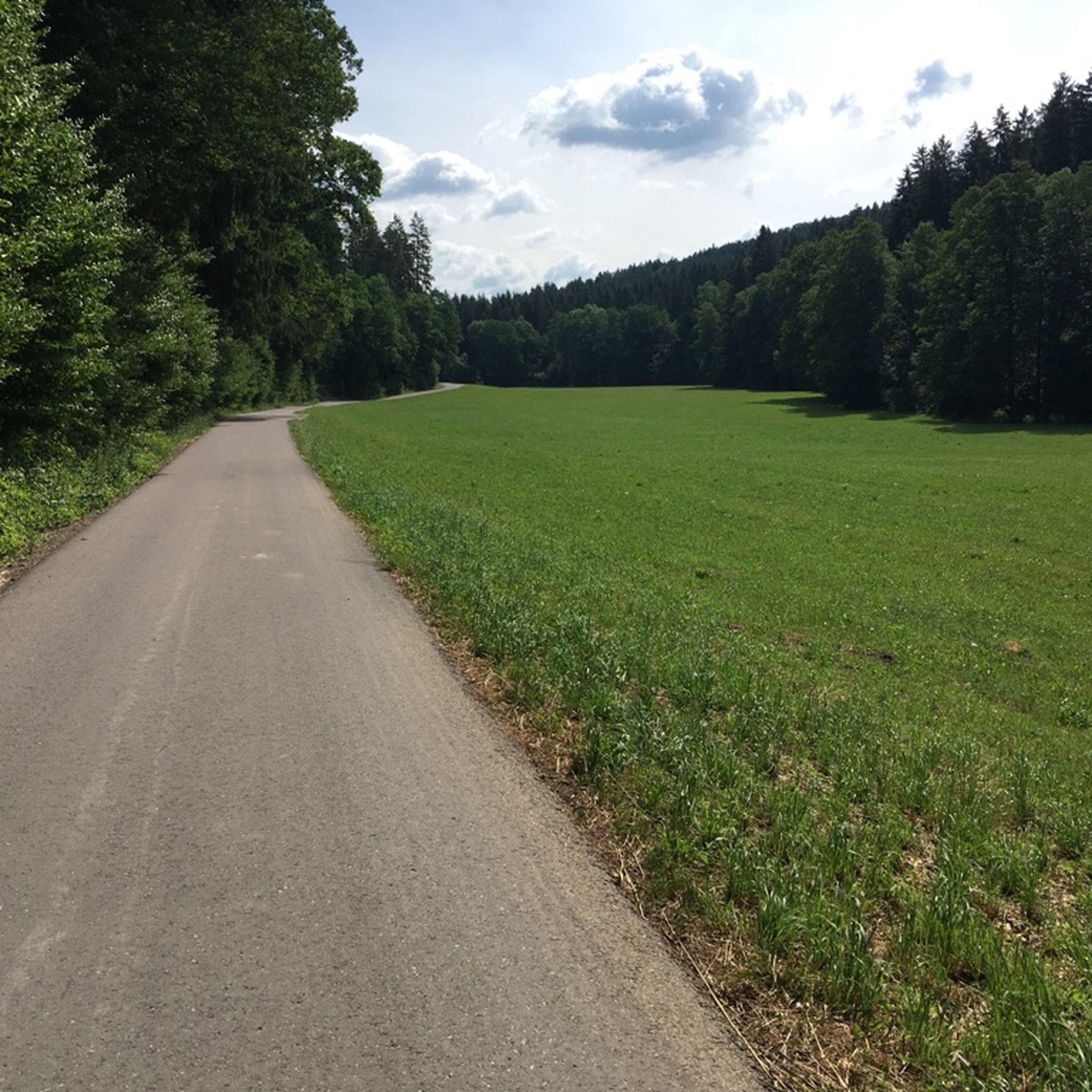
In Krummwäldern there is a beautiful environment
0
0
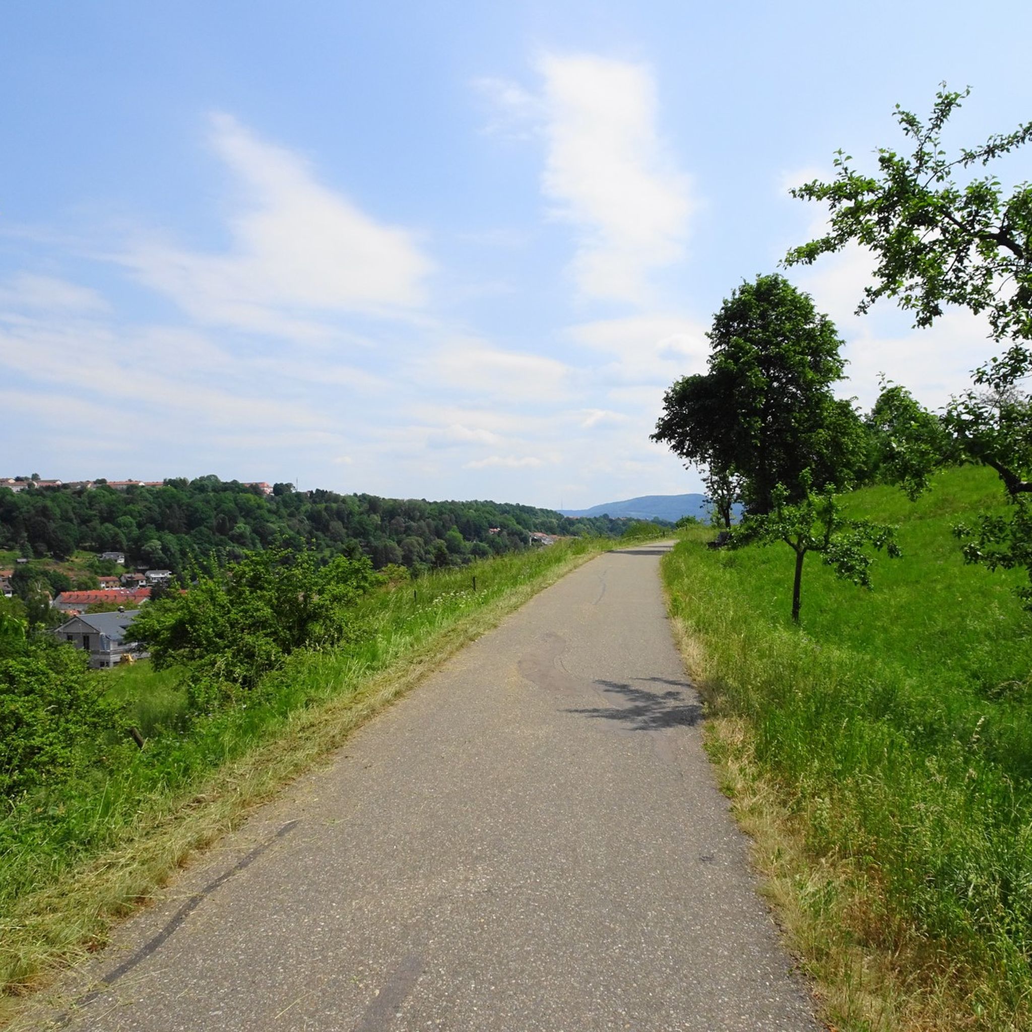
There is a good restaurant around the corner if you are hungry 😜
0
0

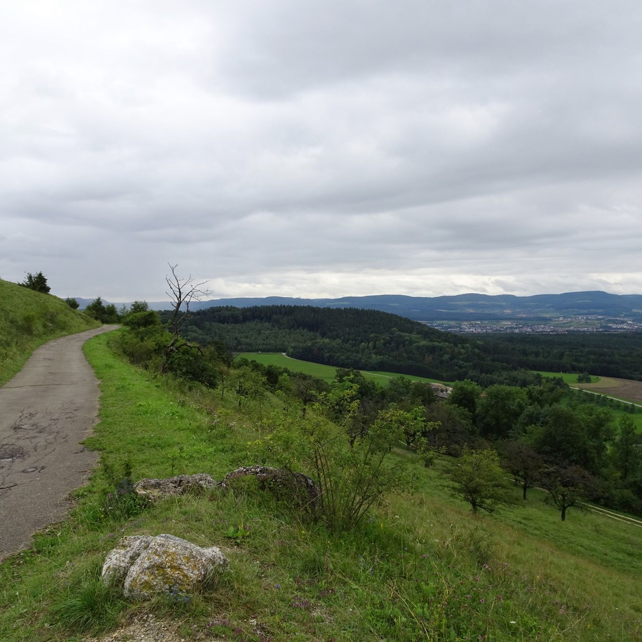
From here you can either continue to Hohenstaufen or to the Hörnle Trails...
3
0

This foresight opens up above Ottenbach.
1
0
Nice playground near Ottenbach
1
0

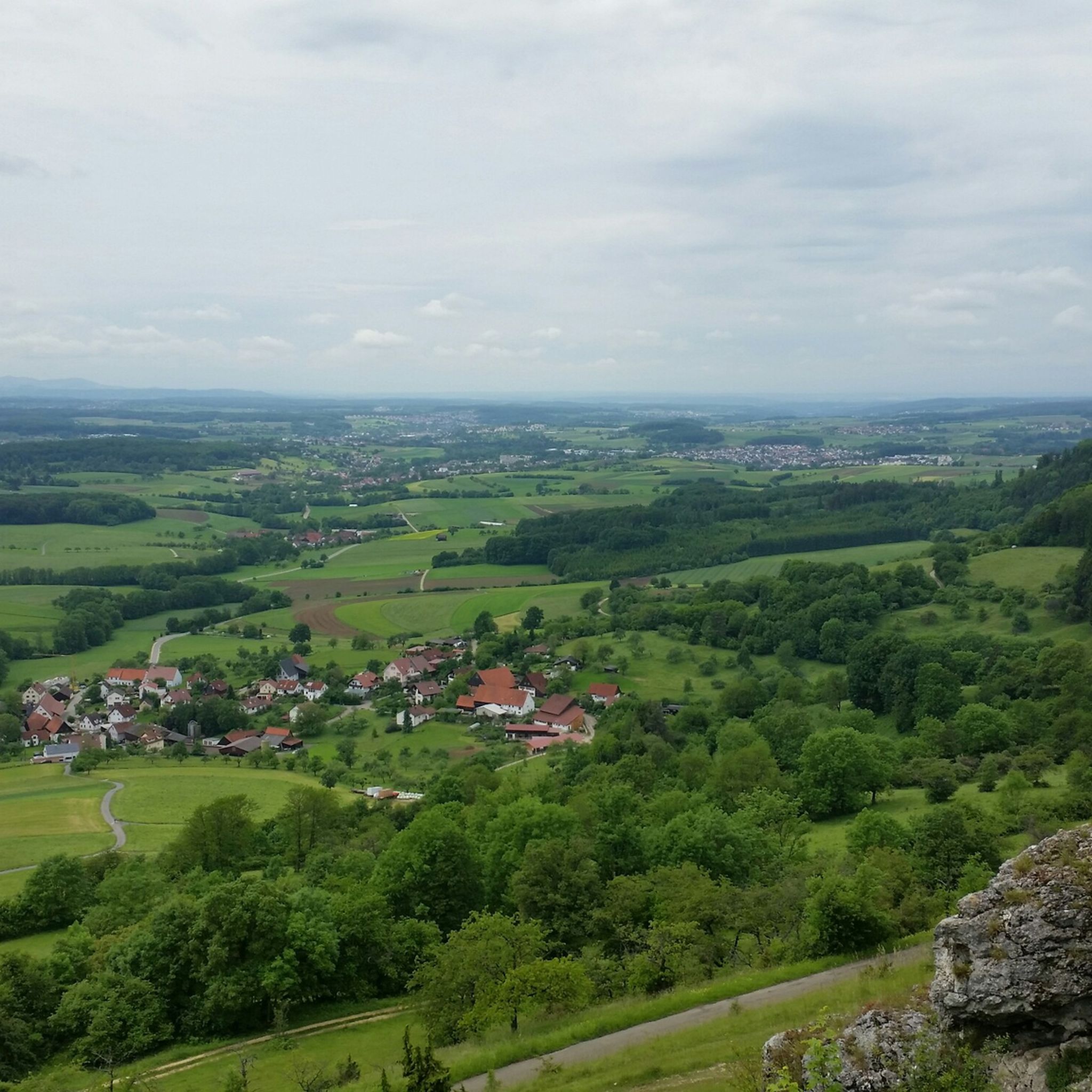
Very nice view is worth driving here.
2
0

Nice view of Rechberg / Stuifen and surroundings ;-)
3
0
Frequently Asked Questions
How many running routes are available in Schwäbisch Gmünd?
Schwäbisch Gmünd offers a wide variety of running routes. There are over 650 routes available, catering to all fitness levels. You'll find everything from easy, flat paths to more challenging trails with significant elevation changes.
What do other runners say about the routes in Schwäbisch Gmünd?
The running routes in Schwäbisch Gmünd are highly regarded by the komoot community, boasting an average rating of 4.5 stars from over 600 reviews. More than 11,000 runners have used komoot to explore the diverse terrain, often praising the scenic views and varied landscapes.
Are there easy or beginner-friendly jogging routes in the area?
Yes, Schwäbisch Gmünd offers numerous easy and beginner-friendly jogging routes. Out of over 650 available routes, 66 are classified as easy, providing gentle terrain suitable for those new to running or looking for a relaxed pace. Many of these can be found along the Rems Valley.
Can I find running routes with panoramic viewpoints in Schwäbisch Gmünd?
Absolutely. The region is known for its stunning viewpoints. Routes often lead to elevated points like the Dreikaiserberge (Hohenstaufen, Rechberg, and Stuifen), offering breathtaking panoramic views over the Filsalb, Ostalb, and Remstal valleys. For example, the View of Rechberg and Stuifen – Hörnle loop from Ottenbach provides excellent vistas.
Are there any circular running routes around Schwäbisch Gmünd?
Yes, many of the running routes in Schwäbisch Gmünd are circular, allowing you to start and end your run at the same point. A popular option is the Running loop from Ottenbach, which takes you through varied local countryside.
What kind of terrain can I expect on the running trails?
The terrain around Schwäbisch Gmünd is quite diverse. You'll encounter a mix of paved paths, forest trails, and open field tracks. The region's location at the foot of the Swabian Alb and the Dreikaiserberge means you can choose between flat runs along the Rems Valley or more challenging ascents with significant elevation gain towards the hills.
Are there any specific natural features or landmarks to look out for while running?
Yes, the region is rich in natural beauty and historical landmarks. You might run past the picturesque junipers and meadows of the Kaltes Feld, or along the scenic Rems Valley. Notable landmarks include the Franz-Keller-Haus mountain hut, the atmospheric Reiterleskapelle, and the ruins of Hohenrechberg Castle. You can also explore lakes like Beutental Pond or Christental Flood Retention Basin.
Are there any family-friendly running options or trails with unique attractions?
For families, the Taubental recreational forest offers the 2.5-kilometer 'NATURATUM adventure forest trail', which includes an XXL forest ball track and 33 interactive stations. While not exclusively a running trail, it provides a fun and engaging outdoor experience that can be incorporated into a family outing. More information can be found on visit-bw.com.
Can I bring my dog on the running trails?
Many of the natural trails and forest paths around Schwäbisch Gmünd are suitable for running with dogs, provided they are kept on a leash and you adhere to local regulations regarding protected areas and wildlife. It's always a good idea to check specific trail rules or signage before heading out.
Are there any challenging running routes for experienced runners?
Experienced runners will find plenty of challenging options. The region features 144 difficult routes, often involving significant elevation changes as you ascend towards the Dreikaiserberge. A demanding route is the Hohenrechberg Castle Ruins – View from the Rechberg loop from Ottenbach, which includes substantial climbs and descents.
What is the best time of year for running in Schwäbisch Gmünd?
Schwäbisch Gmünd offers excellent running conditions throughout much of the year. Spring and autumn provide pleasant temperatures and beautiful scenery with changing foliage. Summer is also great, especially for early morning or late evening runs to avoid the midday heat. Even in winter, many trails remain accessible, offering a unique, crisp running experience.
Are there running routes accessible by public transport or with parking facilities?
Many running routes in and around Schwäbisch Gmünd are accessible by public transport, particularly those closer to the city center or along the Rems Valley. Additionally, numerous trailheads offer dedicated parking facilities, especially in popular recreational areas like those near Ottenbach or the Kaltes Feld, making it convenient to start your run.
Most popular routes around Schwäbisch Gmünd
Most popular attractions around Schwäbisch Gmünd

Get inspired with the komoot mobile app


Explore more
Browse the best Running Trails & Routes in other regions.
