The best gravel rides around Schwäbisch Gmünd
4.9
(34)
186
riders
52
rides
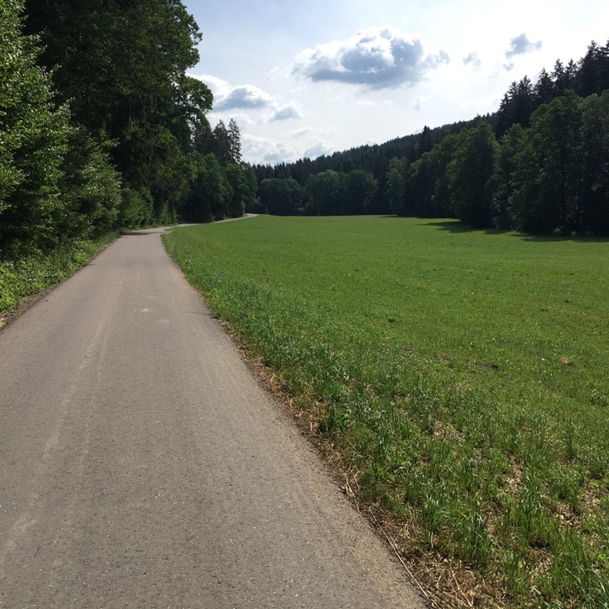
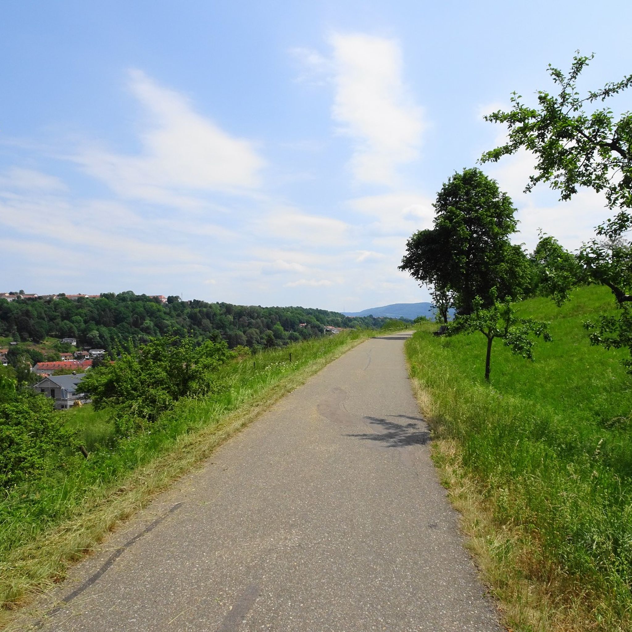
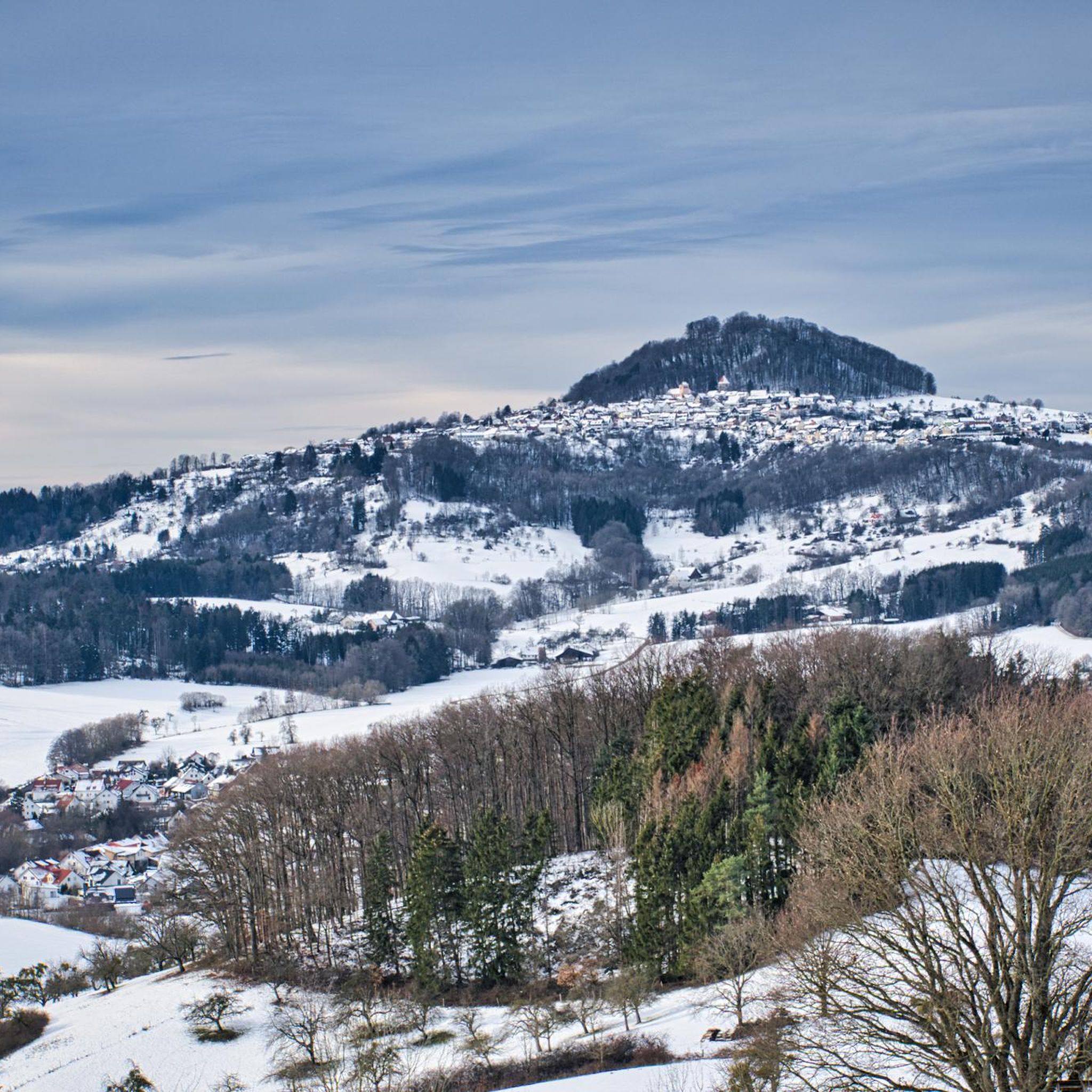
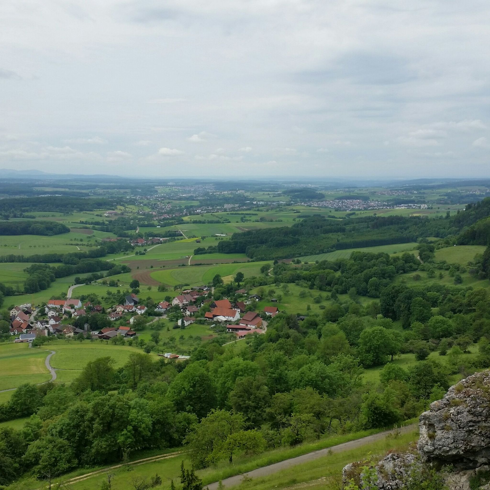
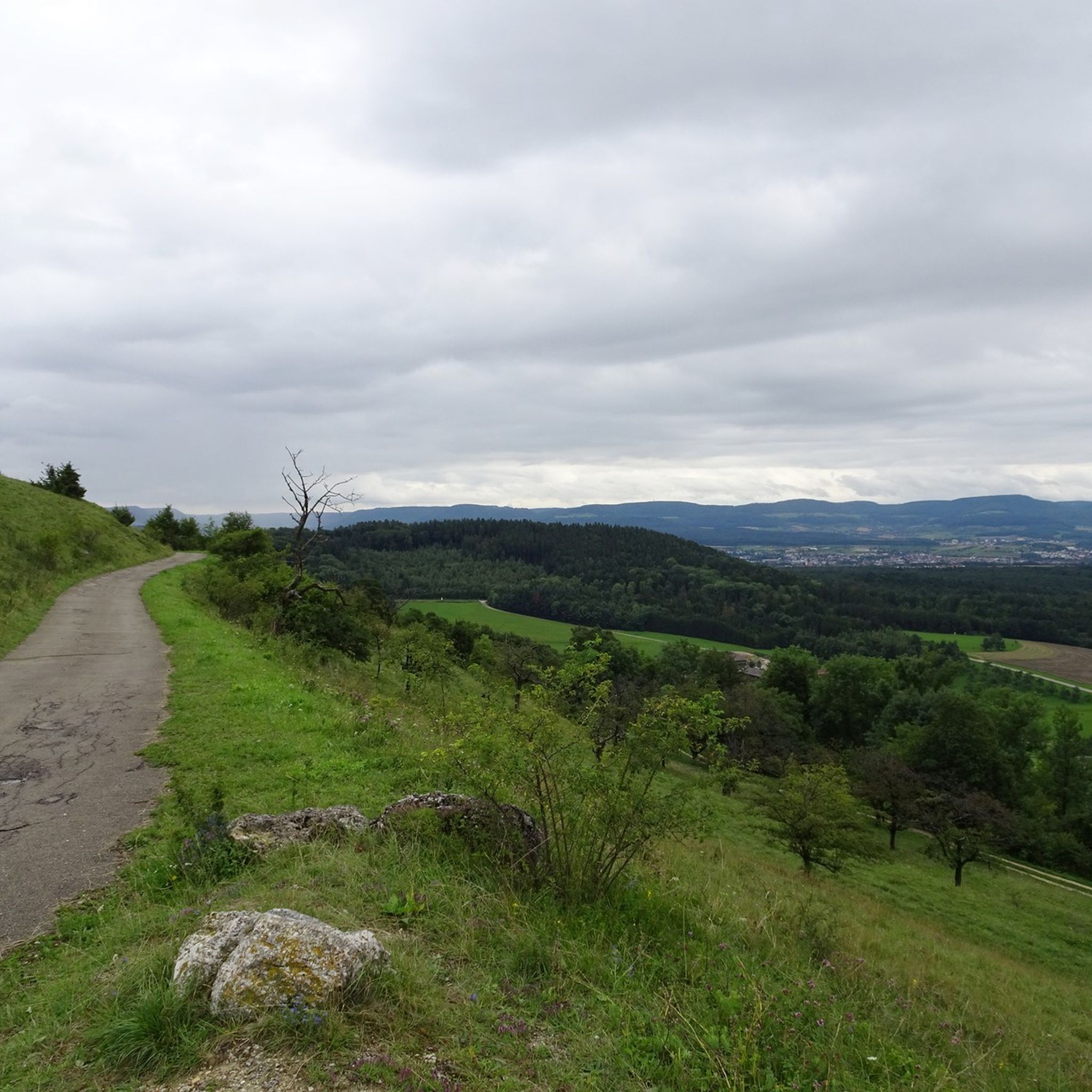
Gravel biking around Schwäbisch Gmünd navigates the diverse landscapes at the foot of the Swabian Alb, characterized by the Rems river valley and extensive forest areas. The region features varied terrain, including routes through the Taubental and Rotenbachtal, and extends to higher elevations like the Kaltes Feld plateau. These paths often combine forest tracks with sections offering views of the surrounding hills and valleys, including the prominent Three Emperors Mountains.
Best gravel bike trails around Schwäbisch Gmünd
- The most popular gravel bike trail is Spielburg – Herrenbach Reservoir (North) loop from Spielburg, a difficult 22.4 miles (36.0 km) path that takes 2 hours 3 minutes to complete. This route explores forest terrain and passes by the Herrenbach Reservoir.
- Another top favourite among local gravel bikers is View of the Rechberg – View of Hohenstaufen loop from GVV Mittleres Fils-Lautertal, a difficult 25.9 miles (41.7 km) trail. This route offers views of the Hohenstaufen and Rechberg hills.
- Local gravel bikers also love the View of the Rechberg – View of Degenfeld loop from Spielburg, a 24.7 miles (39.7 km) trail leading through varied landscapes, often completed in about 2 hours 50 minutes.
- Gravel biking around Schwäbisch Gmünd is defined by the Rems river valley, the foothills of the Swabian Alb, and extensive forest areas. The network offers options for different ability levels, from challenging climbs to more moderate forest paths.
- The routes in Schwäbisch Gmünd are highly rated by the komoot community with an average score of 4.9 stars from over 30 reviews. More than 200 gravel bikers have used komoot to explore Schwäbisch Gmünd's varied terrain.
Last updated: August 21, 2026
5.0
(2)
9
riders
36.5km
02:43
790m
790m
Hard gravel ride. Very good fitness required. Mostly paved surfaces. Suitable for all skill levels.
4.7
(12)
25
riders
36.0km
02:04
470m
460m
Hard gravel ride. Very good fitness required. Mostly paved surfaces. Suitable for all skill levels.

Sign up for free
5.0
(2)
12
riders
39.8km
02:49
780m
780m
Hard gravel ride. Very good fitness required. Mostly paved surfaces. Suitable for all skill levels.
5.0
(1)
21
riders
112km
07:02
1,590m
1,590m
Hard gravel ride. Very good fitness required. Mostly paved surfaces. Suitable for all skill levels.
5.0
(2)
6
riders
Hard gravel ride. Very good fitness required. Mostly paved surfaces. Suitable for all skill levels.
Get access to more routes and recommendations from other explorers.
Sign up for free
Already have an account?
Our route recommendations are based on thousands of hikes, rides, and runs completed by other people on komoot.
Start today with a free account
Your next adventure awaits.
Login or Signup

Tips from the Community

The view to the south is indeed very beautiful!
0
0

Here, cyclists are friendly to hikers and vice versa.
5
0

The lake is now completely silted up and has disappeared!
0
0

Very nice cycle path through a beautiful landscape.
0
0

Beautiful cycling route with benches along the way, easy to cycle
1
0

The structure referred to as the "Eseltal Dam" on the official sign of the Wedel-Brenz Water Board is actually a flood retention basin built in 1962. The body of water, which only carries water periodically and has no fixed bed for long stretches, is the Eseltalgraben. It is dammed here in the event of flooding to prevent flooding of the nearby Federal Highway 466 and, further along, the villages in the Stubental Valley up to the town of Heidenheim. The crest of the dam is 150 meters long, and its highest point is almost 13 meters above the valley floor.
12
0

Beautifully situated in the forest
0
0

On weekdays, expect to see trucks. The Furtle Pass appears to be a shortcut for the 40-tonners.
1
0
Frequently Asked Questions
What kind of terrain can I expect on gravel bike trails around Schwäbisch Gmünd?
The gravel bike trails around Schwäbisch Gmünd offer a diverse mix of terrain. You'll find paths navigating the Rems river valley, extensive forest areas like the Taubental and Rotenbachtal, and ascents to higher elevations such as the Kaltes Feld plateau. Routes often combine forest tracks with sections providing scenic views of the surrounding hills and valleys, characteristic of the Swabian Alb foothills.
Are there many gravel bike routes available in the Schwäbisch Gmünd area?
Yes, the Schwäbisch Gmünd area offers a substantial network for gravel biking. There are over 100 gravel bike routes available, catering to various skill levels from moderate forest paths to more challenging climbs.
What are the difficulty levels of the gravel bike trails?
The trails around Schwäbisch Gmünd offer a range of difficulty levels. While many routes feature challenging sections with significant elevation gains, there are also more moderate forest paths suitable for different abilities. For example, routes like the View of Hohenstaufen – View of the Rechberg loop from Spielburg and the Spielburg – Herrenbach Reservoir (North) loop from Spielburg are considered difficult, offering substantial climbs and distances.
Can I find routes with scenic viewpoints or natural features?
Absolutely. The region is rich in scenic viewpoints and natural features. The Kaltes Feld plateau, the highest elevation in the Ostalb, offers expansive views, particularly from the Tannhaldenstein and Christentalfelsen. Many routes, such as the View of the Hausener Wand – Tälesbahn Cycle Path loop from Heldenberg, lead through varied landscapes with opportunities to enjoy the natural beauty of the Rems Valley and surrounding forests.
Are there any circular gravel bike routes around Schwäbisch Gmünd?
Yes, many of the gravel bike routes in the area are designed as loops, allowing you to start and end at the same point. Examples include the View of the Rechberg – View of Hohenstaufen loop from GVV Mittleres Fils-Lautertal and the View of the Rechberg – View of Degenfeld loop from Spielburg, which offer varied distances and elevations.
What do other gravel bikers say about the trails in Schwäbisch Gmünd?
The gravel biking routes in Schwäbisch Gmünd are highly rated by the komoot community, with an average score of 4.8 stars from over 90 reviews. Riders often praise the diverse terrain, the beautiful forest sections, and the rewarding views from elevated points like the Hohenstaufen and Rechberg hills.
Are there any places to stop for refreshments or accommodation near the trails?
Yes, you'll find options for refreshments and resting points. The Franz-Keller Hut on the Kaltes Feld is a notable hiking lodge that serves as a great stop. Other highlights include the Franz-Keller Hut, Villa Maus at Kaltes Feld, and Knörzerhaus, which are popular spots for hikers and cyclists alike.
What natural attractions can I see along the gravel bike trails?
Beyond the scenic views, you can encounter several natural attractions. The region features beautiful lakes and reservoirs such as the Beutental Pond, Simonsbach Reservoir, and Christental Flood Retention Basin. These offer picturesque spots for a break amidst your ride.
Is Schwäbisch Gmünd suitable for family-friendly gravel biking?
While many routes involve challenging terrain, the Rems Valley Cycle Path offers a beautiful paved option along the Rems between Lorch and Schwäbisch Gmünd, which can be a good starting point for families or combined with easier gravel sections. For more adventurous families, some forest paths might be suitable, especially those that allow for bypassing more strenuous sections.
What is the best time of year for gravel biking in Schwäbisch Gmünd?
The diverse landscapes of Schwäbisch Gmünd are enjoyable across multiple seasons. Spring and autumn offer pleasant temperatures and vibrant scenery, ideal for exploring the forests and open fields. Summer is also great, though some exposed sections might be warm. Winter cycling is possible, but trail conditions can vary, especially at higher elevations like the Kaltes Feld.
Are there any specific landmarks or points of interest to look out for?
Yes, the region has several interesting landmarks. The Reiterleskapelle at the western foot of the Alb is a very atmospheric chapel. For a unique stop, the Zeiselberg features a 26-meter tube slide and a beer garden with city views. You can also find the Skypark Epia Kletterwald, a natural high ropes course, for an alternative outdoor activity.
Most popular routes around Schwäbisch Gmünd
Most popular attractions around Schwäbisch Gmünd

Get inspired with the komoot mobile app


Explore more
Browse the best Gravel rides in other regions.
