The best mountain hikes around Donzdorf
11
hikers
6
hikes
Mountaineering routes Donzdorf offer varied terrain characterized by rolling hills, forested slopes, and prominent rock formations. The region provides opportunities to explore elevated viewpoints and natural landscapes within the Swabian Jura. These routes often feature moderate ascents and descents, traversing through woodlands and open areas. The landscape is shaped by geological features that create diverse paths for mountaineering.
Best mountaineering routes around Donzdorf
- The most popular mountaineering route is Hausener Cliff – Hausen Rocks loop from Bad Überkingen, a…
Last updated: July 2, 2026
4
hikers
14.6km
04:27
470m
470m
Moderate mountaineering route. Good fitness required. Easily-accessible paths. Suitable for all skill levels.
1
hikers
11.8km
03:24
290m
290m
Moderate mountaineering route. Good fitness required. Easily-accessible paths. Suitable for all skill levels.

Sign up for free
2
hikers
Moderate mountaineering route. Good fitness required. Easily-accessible paths. Suitable for all skill levels.
2
hikers
14.3km
04:35
570m
570m
Moderate mountaineering route. Good fitness required. Mostly accessible paths. Sure-footedness required.
2
hikers
10.5km
03:12
350m
350m
Moderate mountaineering route. Good fitness required. Easily-accessible paths. Suitable for all skill levels.
Our route recommendations are based on thousands of hikes, rides, and runs completed by other people on komoot.
Start today with a free account
Your next adventure awaits.
Login or Signup
Popular around Donzdorf
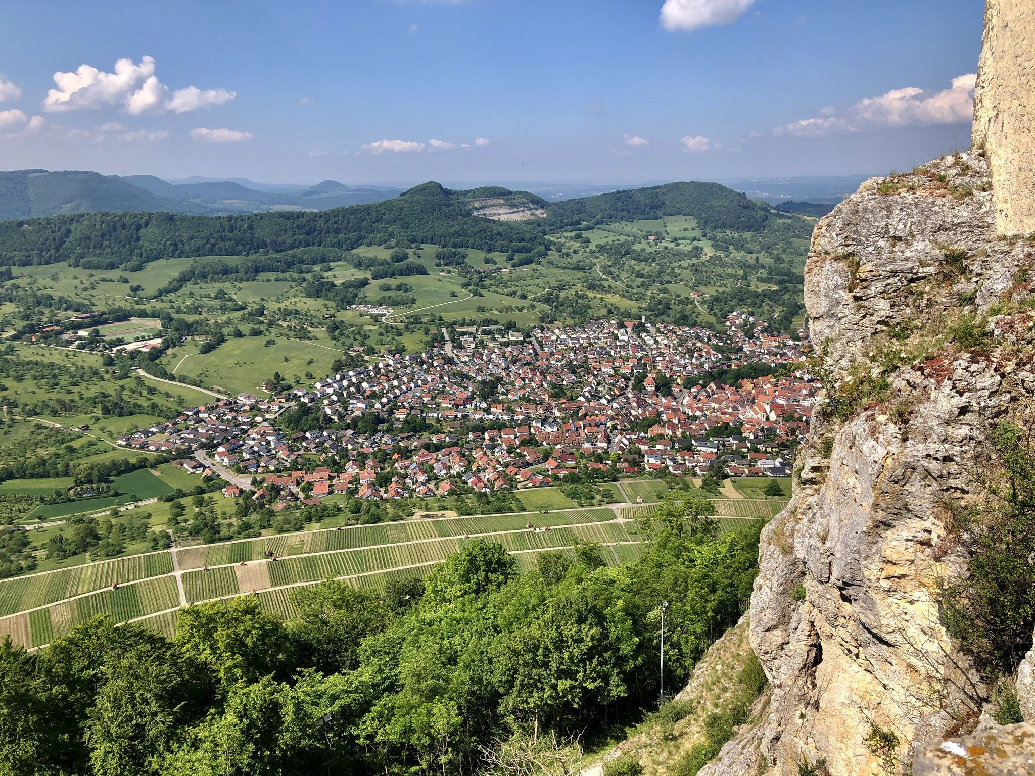
Panoramic hikes on Albtrauf
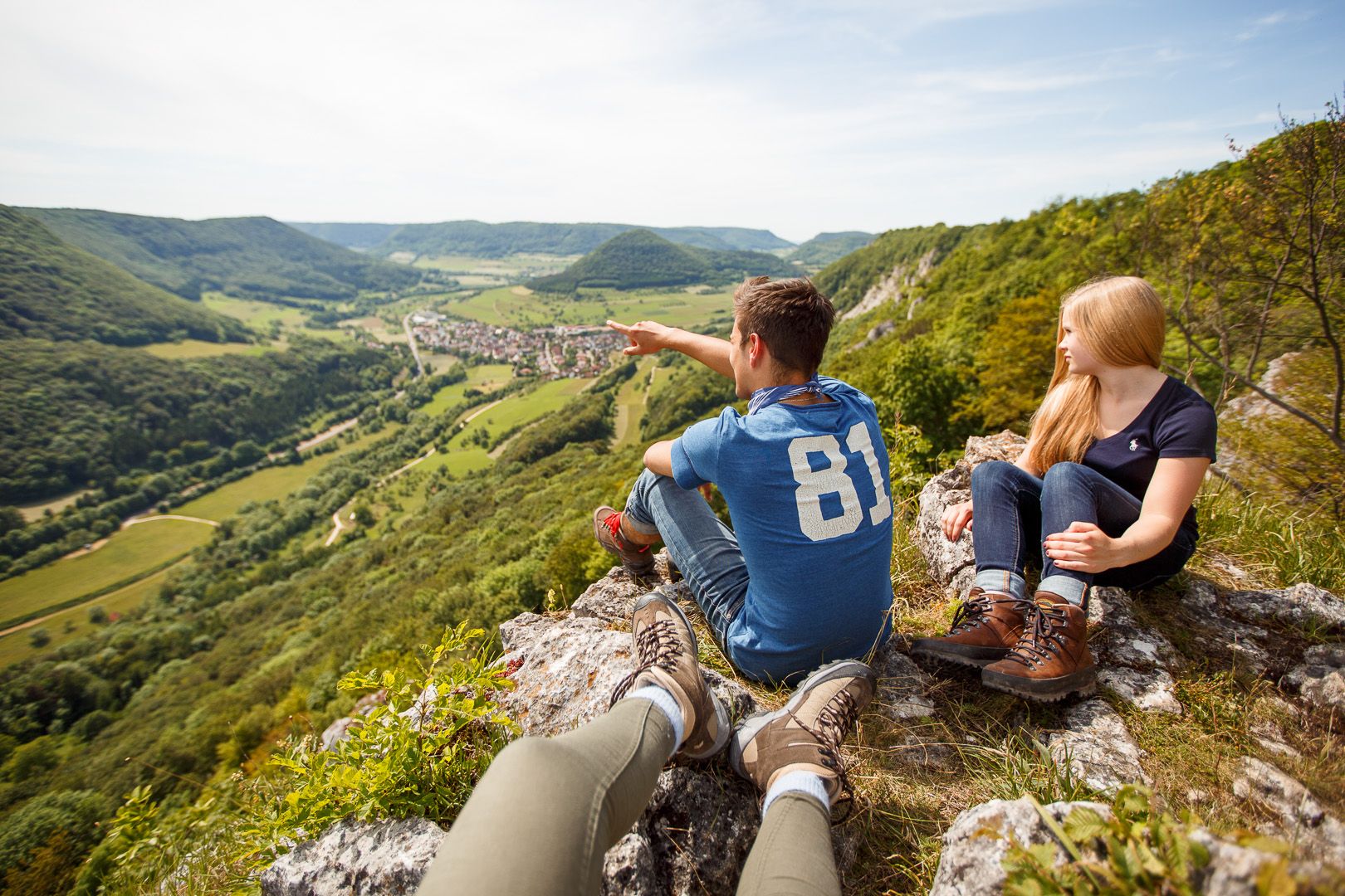
Lion Trails in the Swabian Alb – 16 Tours around Göppingen
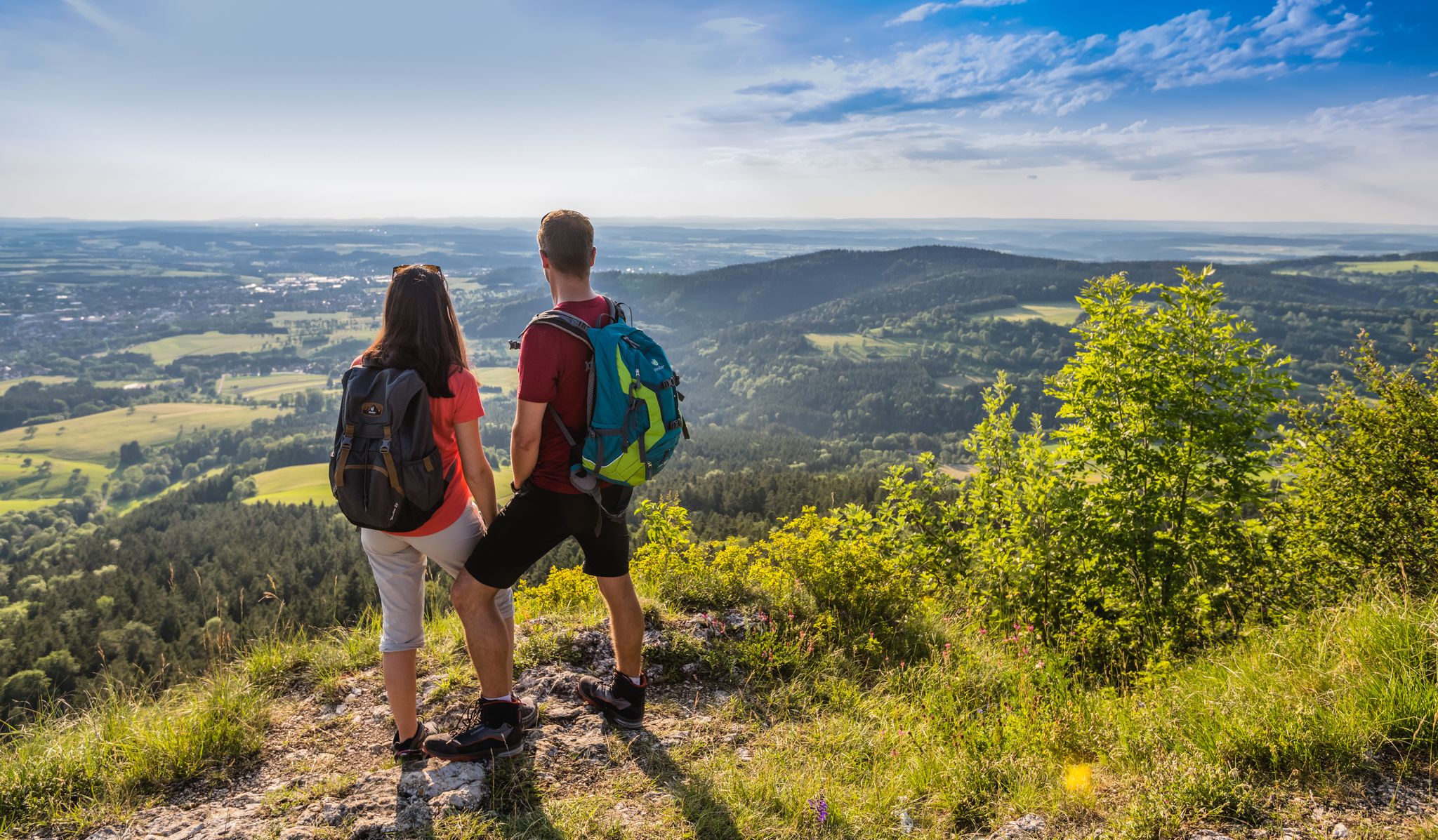
The Swabian Albsteig (HW1) – 16 stages of panoramic views
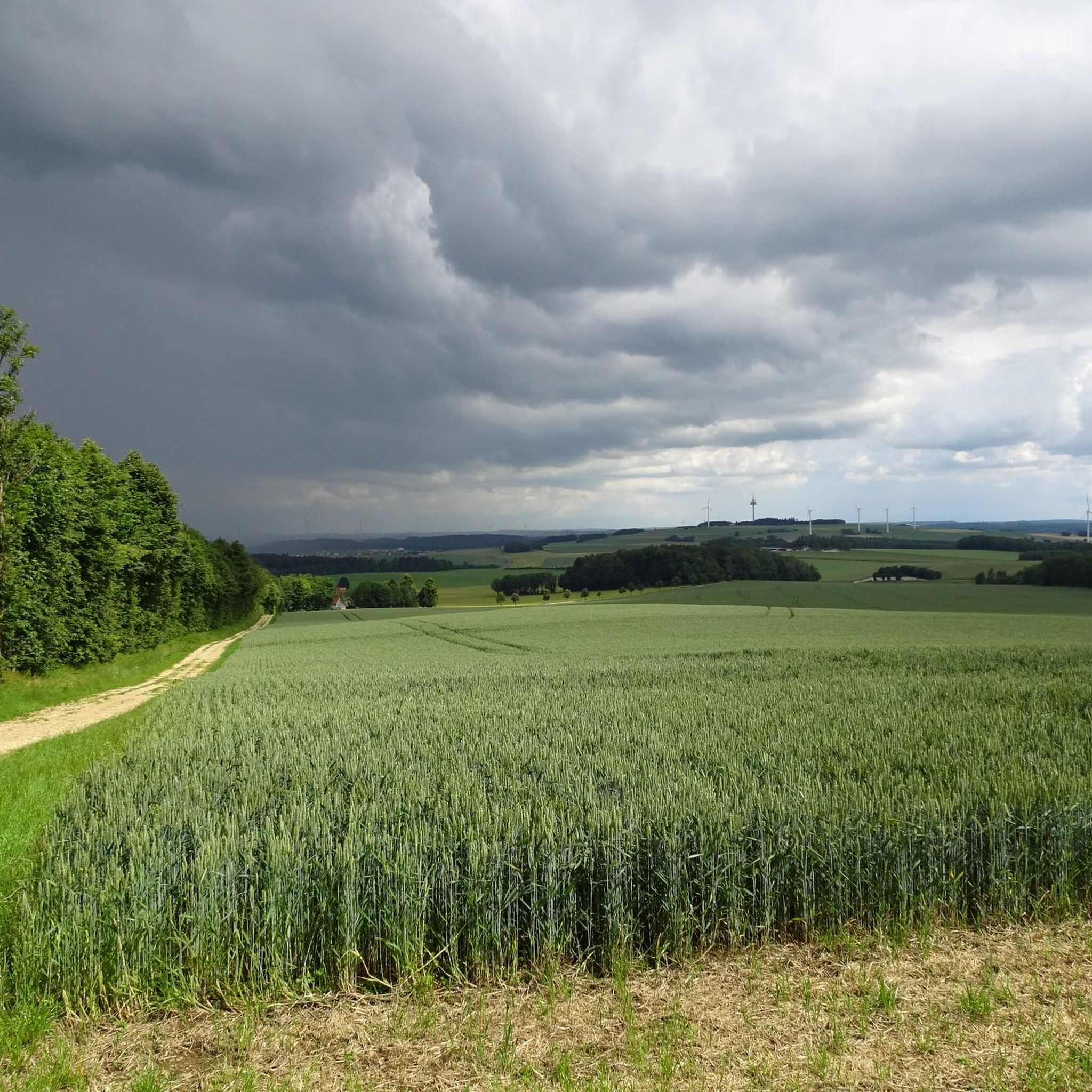
Hiking around Donzdorf
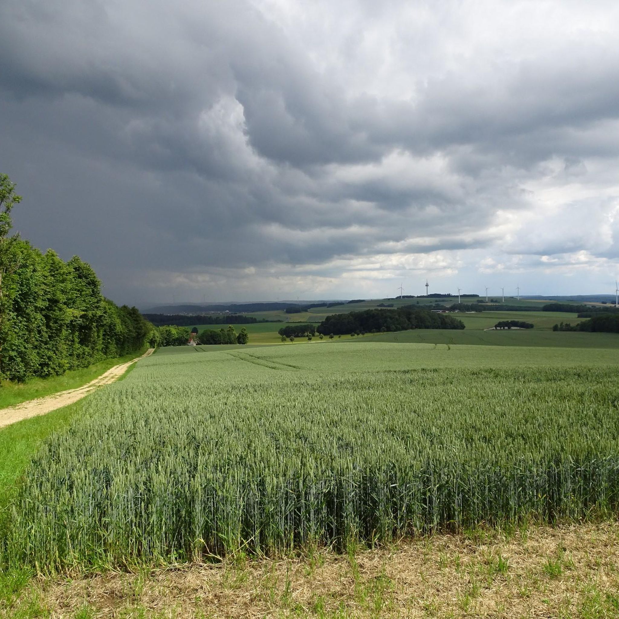
Cycling around Donzdorf
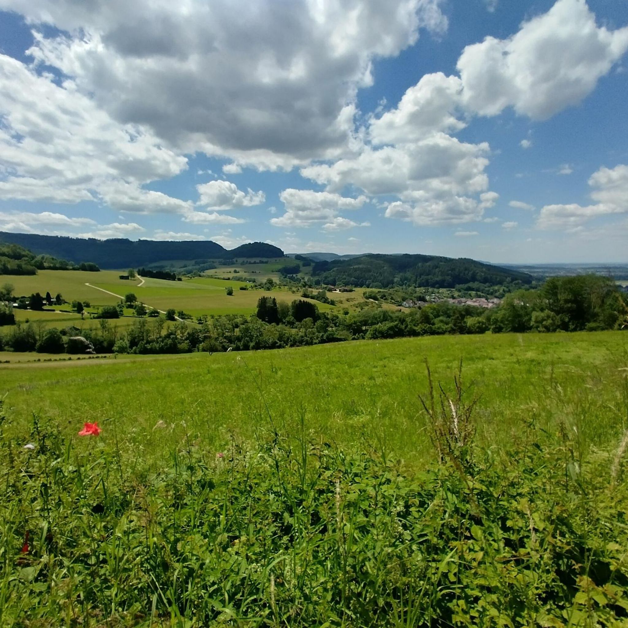
MTB Trails around Donzdorf
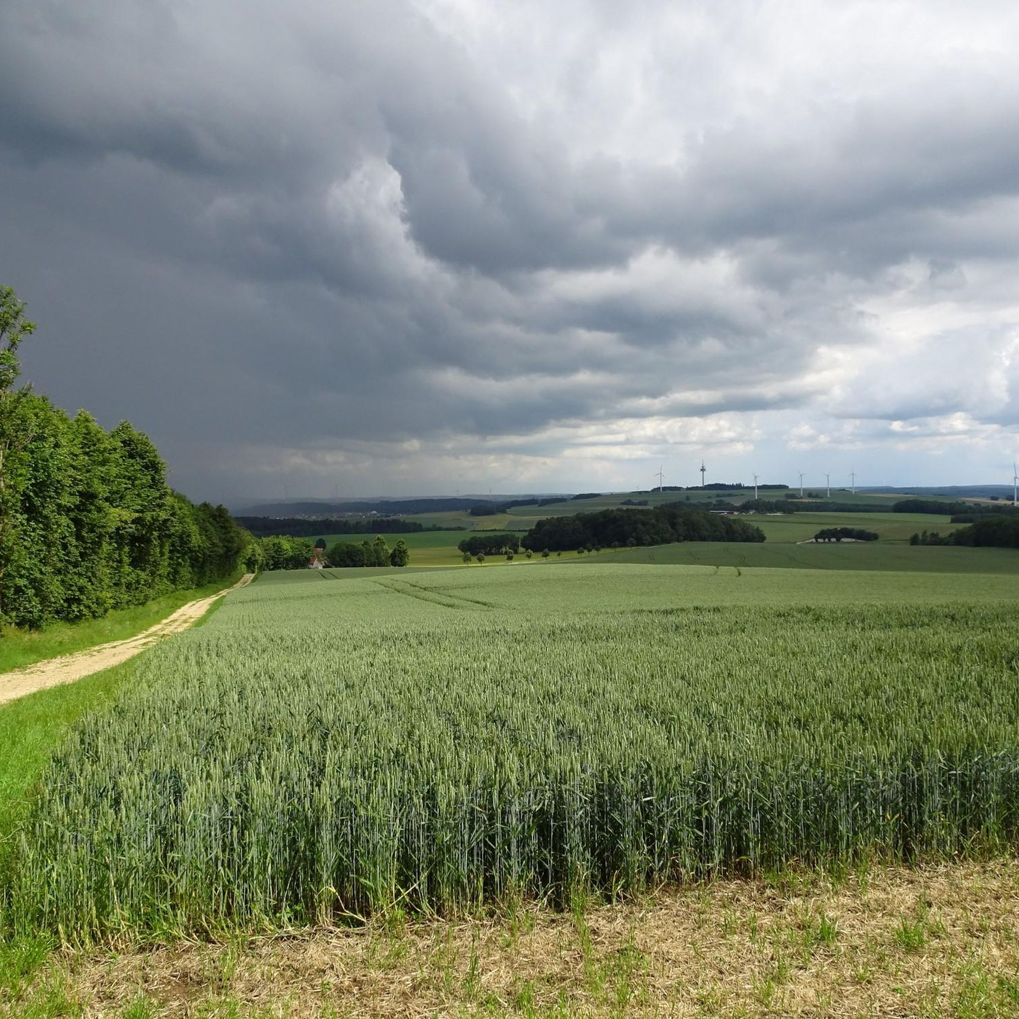
Road Cycling Routes around Donzdorf
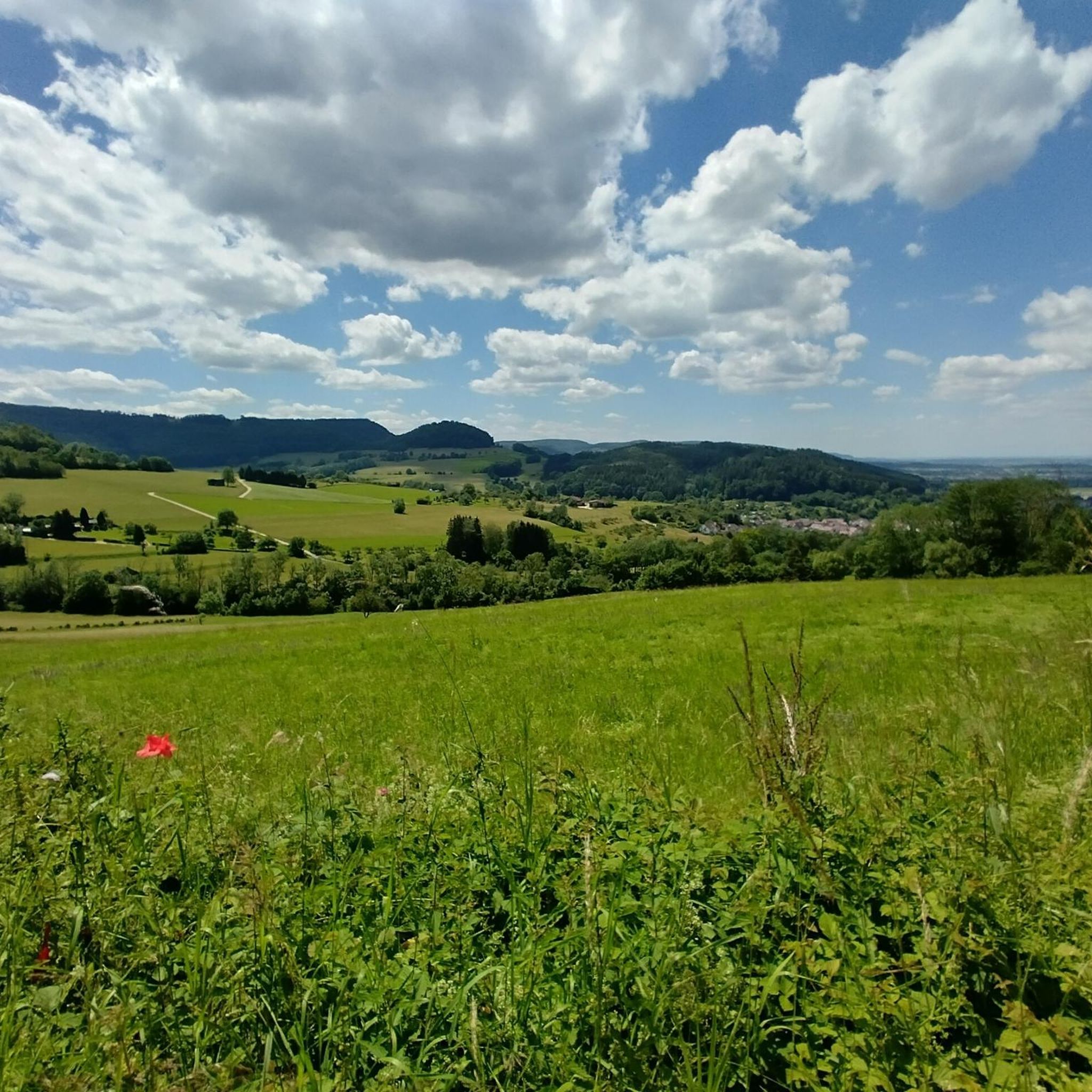
Running Trails around Donzdorf

Gravel biking around Donzdorf


Tips from the Community

The Traufweg trail at the Michelberg always runs along the edge of the Tafelberg. Those who are not afraid of heights can repeatedly enjoy deep views from the battlements of the Hausener Wand into the valley.
1
0

Fortunately not. Imagine if there were signs and railings at all the dangerous spots on the Alb. Then not much would be left of the Alb. Recently, near Bad Urach, I was alerted by a sign that there are forest dangers in the woods. Very disturbing.
0
0

Small bridge with a little bench
0
0
Super beautiful singletrack to the Hausener Wand
1
0
Always be careful not to step too close to the edge! There are neither railings nor warning signs, just a steep drop...
0
0
Here is the turn-off towards Ravenstein Castle ruins.
0
0
This is a great place to rest :-)
0
0
Wonderful view. Besides an information board, there's a table and two wooden benches here 🥪🥛
0
0
Frequently Asked Questions
What are the typical difficulty levels for mountaineering routes around Donzdorf?
The mountaineering routes around Donzdorf are primarily classified as moderate. This means they generally involve steady ascents and descents, suitable for those with a good level of fitness and some experience in mountain hiking. There are no easy or difficult routes listed in this guide, offering a consistent challenge level across the board.
How long do mountaineering routes near Donzdorf usually take to complete?
Mountaineering routes in the Donzdorf area typically range from approximately 3 hours 15 minutes to 4 hours 35 minutes to complete. For example, the Wäscher Castle – View from Hohenstaufen Summit loop from Wäschenbeuren can be done in about 3 hours 16 minutes, while the Stuifen — Summit and Viewpoint – Reiterles Chapel loop from Waldstetten takes around 4 hours 35 minutes.
Are there many circular mountaineering routes in the Donzdorf area?
Yes, the mountaineering routes featured in this guide around Donzdorf are all designed as circular loops. This allows you to start and end your adventure at the same point, making logistics like parking much simpler. An example is the Hausener Cliff – Hausen Rocks loop from Bad Überkingen.
What kind of sights or viewpoints can I expect on mountaineering routes near Donzdorf?
The routes often lead to elevated viewpoints offering panoramic vistas of the Swabian Jura. You can also discover historical landmarks such as the Hohenstaufen Castle Ruins and Viewpoint or the Hohenrechberg Castle Ruins. Some routes, like the Mordloch Cave – Karl-Vorbrugg Hut loop from Schnittlingen, also pass by natural features like caves or huts such as the Wasserberghaus.
Is the Donzdorf region suitable for family-friendly mountaineering?
While all routes in this guide are rated as moderate, meaning they require a certain level of fitness, many families with older children who are accustomed to hiking will find them enjoyable. The varied terrain and interesting sights, including castle ruins and viewpoints, can keep younger adventurers engaged. Always consider the distance and elevation gain for your family's specific abilities.
Are dogs allowed on the mountaineering trails around Donzdorf?
Generally, dogs are welcome on the mountaineering trails around Donzdorf, provided they are kept on a leash, especially in forested areas or near wildlife. It's always advisable to carry water for your dog and be mindful of other hikers and local regulations. The natural environment offers plenty for dogs to enjoy alongside their owners.
What is the best time of year for mountaineering in Donzdorf?
The best time for mountaineering in Donzdorf is typically from late spring through early autumn (May to October). During these months, the weather is generally milder, trails are dry, and the natural landscape is vibrant. Autumn offers particularly beautiful scenery with changing leaf colors. While winter mountaineering is possible, some trails might be slippery or require appropriate gear due to snow and ice.
Are there any cafes or refreshment stops along the mountaineering routes?
Some routes may pass near or by huts and small eateries, especially those that are popular with hikers. For instance, the Knörzerhaus – Hornberg Airfield loop from Kaltes Feld mit Hornberg, Galgenberg und Eierberg is named after the Knörzerhaus, which often provides refreshments. It's always a good idea to check opening hours in advance or carry sufficient provisions, as options can be limited, especially outside peak season.
What do other mountaineers enjoy most about the routes in Donzdorf?
Mountaineers using komoot frequently praise the varied terrain, which includes forested slopes, open areas, and prominent rock formations. The region's elevated viewpoints and the opportunity to explore natural landscapes within the Swabian Jura are also highly valued. The well-maintained paths and the sense of immersion in nature are often highlighted.
How many mountaineering routes are available in the Donzdorf area?
There are at least 6 distinct mountaineering routes available in the Donzdorf area, as highlighted in this guide. These routes offer a range of distances and durations, all within the moderate difficulty category, providing ample choice for exploring the region's diverse landscapes.
Are there any specific geological features to look out for on the routes?
Yes, the Donzdorf region is part of the Swabian Jura, known for its distinctive geological features. You can expect to encounter prominent rock formations, limestone cliffs, and karst landscapes, which have shaped the varied paths. The Hausener Cliff – Hausen Rocks loop from Bad Überkingen is a prime example, exploring significant cliff formations and rocky outcrops.
Most popular routes around Donzdorf
Most popular attractions around Donzdorf

Get inspired with the komoot mobile app


Explore more
Browse the best Mountain Hikes & Routes in other regions.
