The best road cycling routes around Alt St Johann und Unterwasser
4.6
(130)
2,980
riders
11
rides
Road cycling around Alt St Johann und Unterwasser is characterized by its location between the Säntis massif and the Churfirsten peaks, offering diverse terrain for cyclists. The region features significant elevation changes with winding roads, providing both challenging ascents and scenic descents. The Toggenburg valley and routes parallel to the Alpine Rhine Valley offer varied landscapes, from green meadows to more demanding mountain passes. This area provides a network of roads suitable for different cycling preferences.
Best road cycling routes…
Last updated: September 29, 2026
4.9
(18)
337
riders
74.2km
04:14
1,530m
1,530m
Hard road ride. Very good fitness required. Some segments of this route may be unpaved and difficult to ride.
5.0
(1)
81
riders
Hard road ride. Very good fitness required. Mostly well-paved surfaces and easy to ride.

4.5
(4)
55
riders
51.8km
03:07
1,050m
1,050m
Hard road ride. Very good fitness required. Some segments of this route may be unpaved and difficult to ride.
46
riders
61.4km
03:11
1,070m
1,070m
Hard road ride. Very good fitness required. Mostly well-paved surfaces and easy to ride.
5.0
(2)
50
riders
Moderate road ride. Good fitness required. Mostly well-paved surfaces and easy to ride.
Get access to more routes and recommendations from other explorers.
Already have an account?
Our route recommendations are based on thousands of hikes, rides, and runs completed by other people on komoot.
Start today with a free account
Your next adventure awaits.
Popular around Alt St. Johann

Lake and Alps Adventure – explore 100 dreamy places in our cycling region!
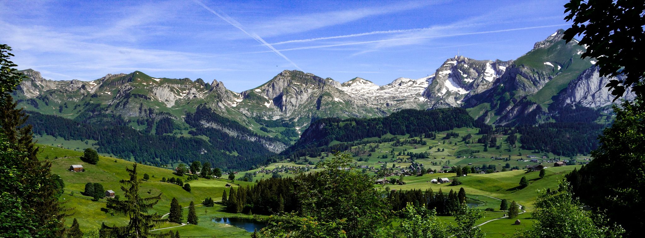
Toggenburger Höhenweg – Demanding hiking near St. Gallen
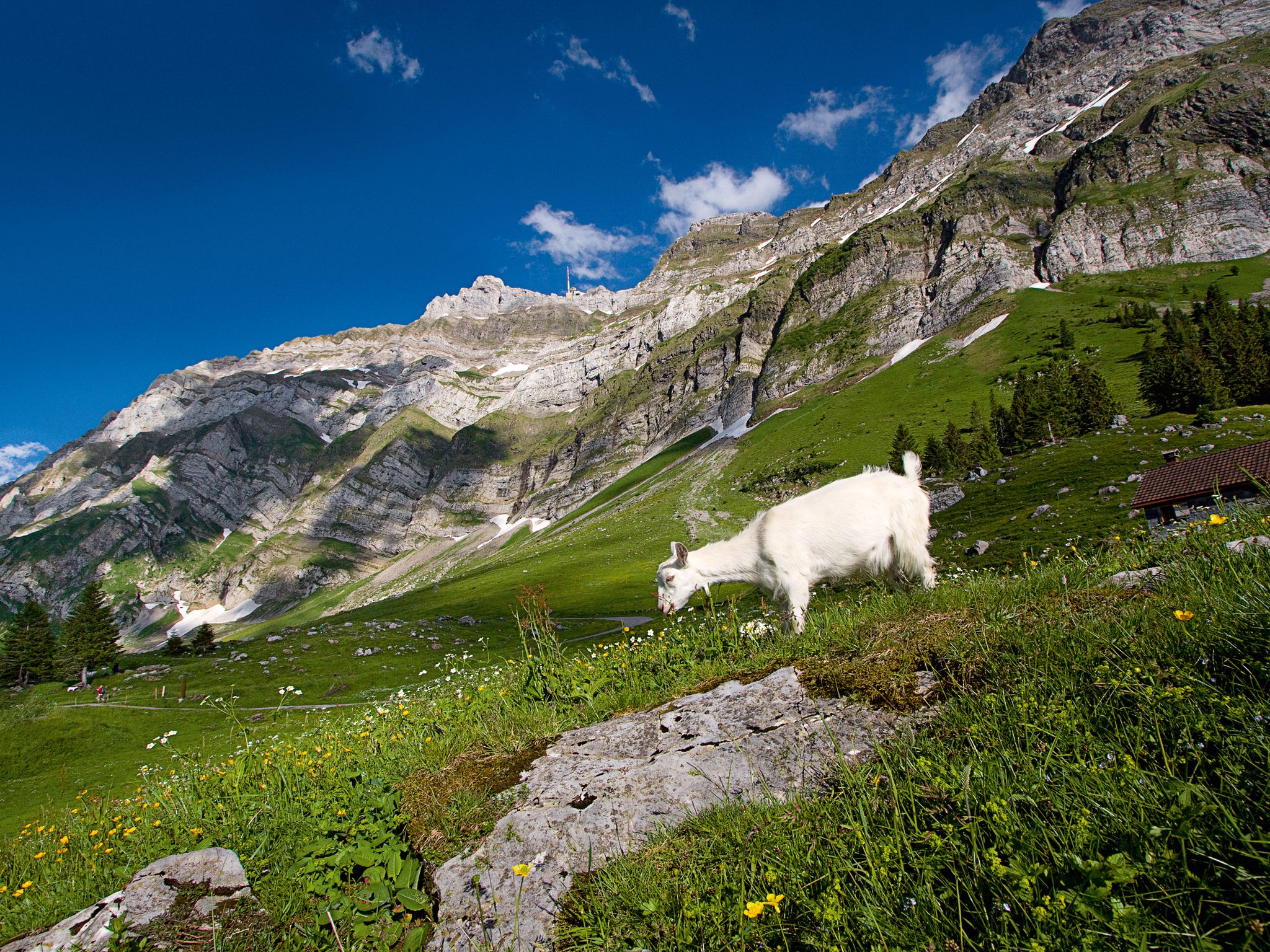
When the mountain awakens – spring hikes around the Schwägalp
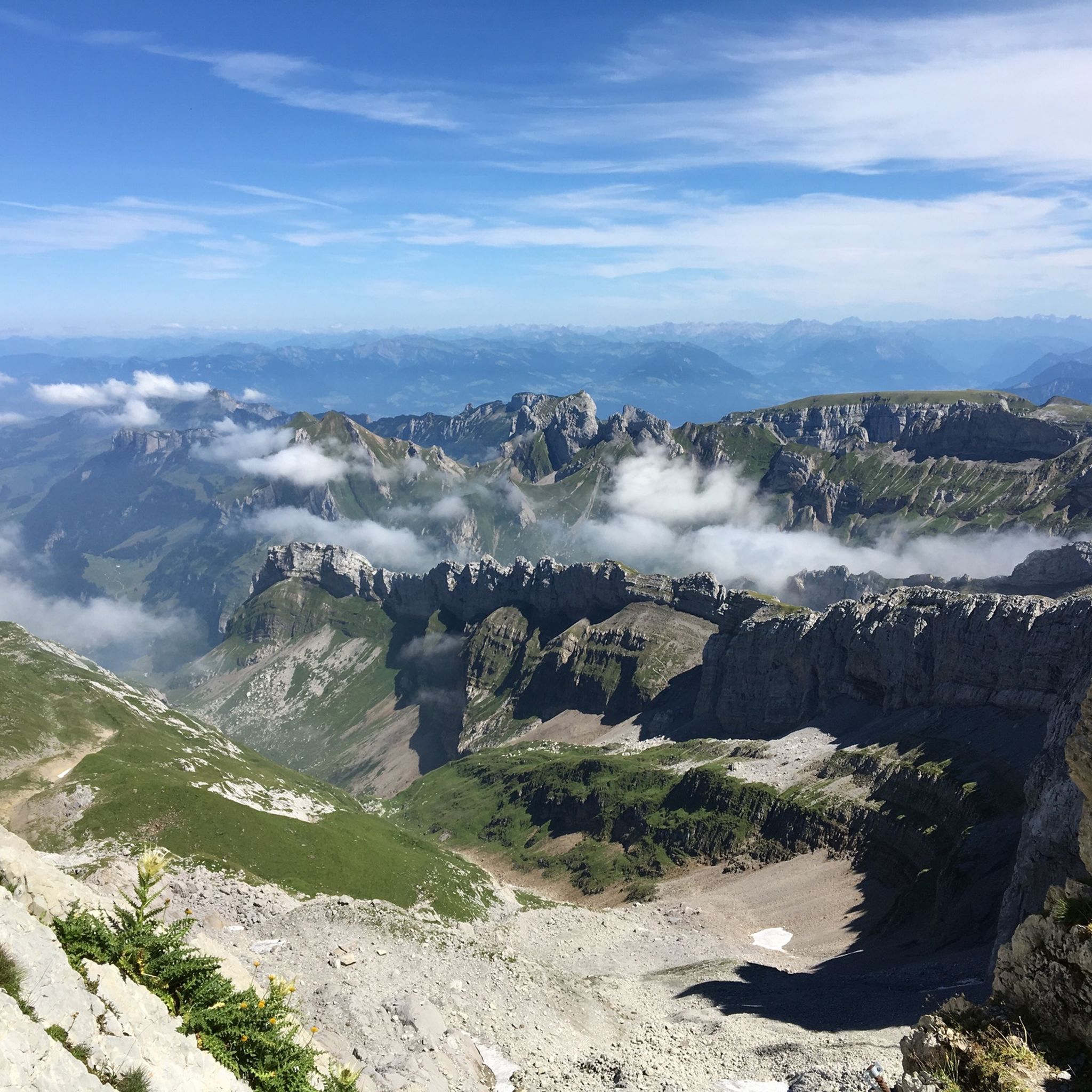
Hiking around Alt St Johann und Unterwasser
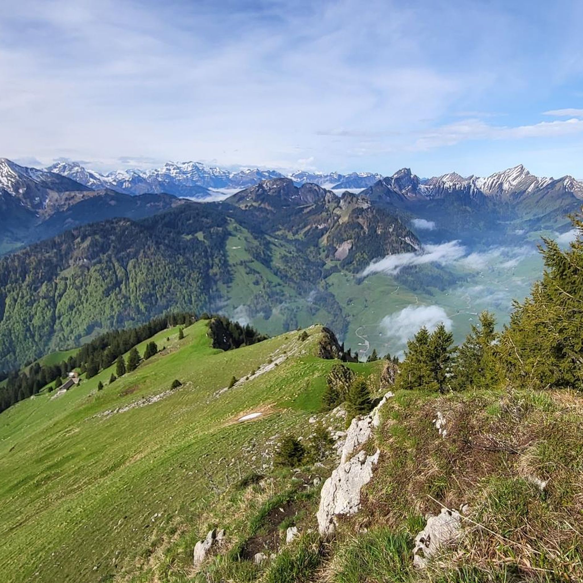
MTB Trails around Alt St Johann und Unterwasser
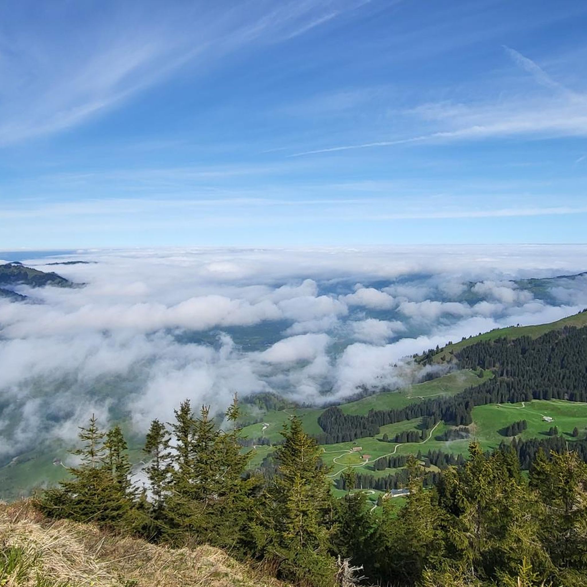
Cycling around Alt St Johann und Unterwasser
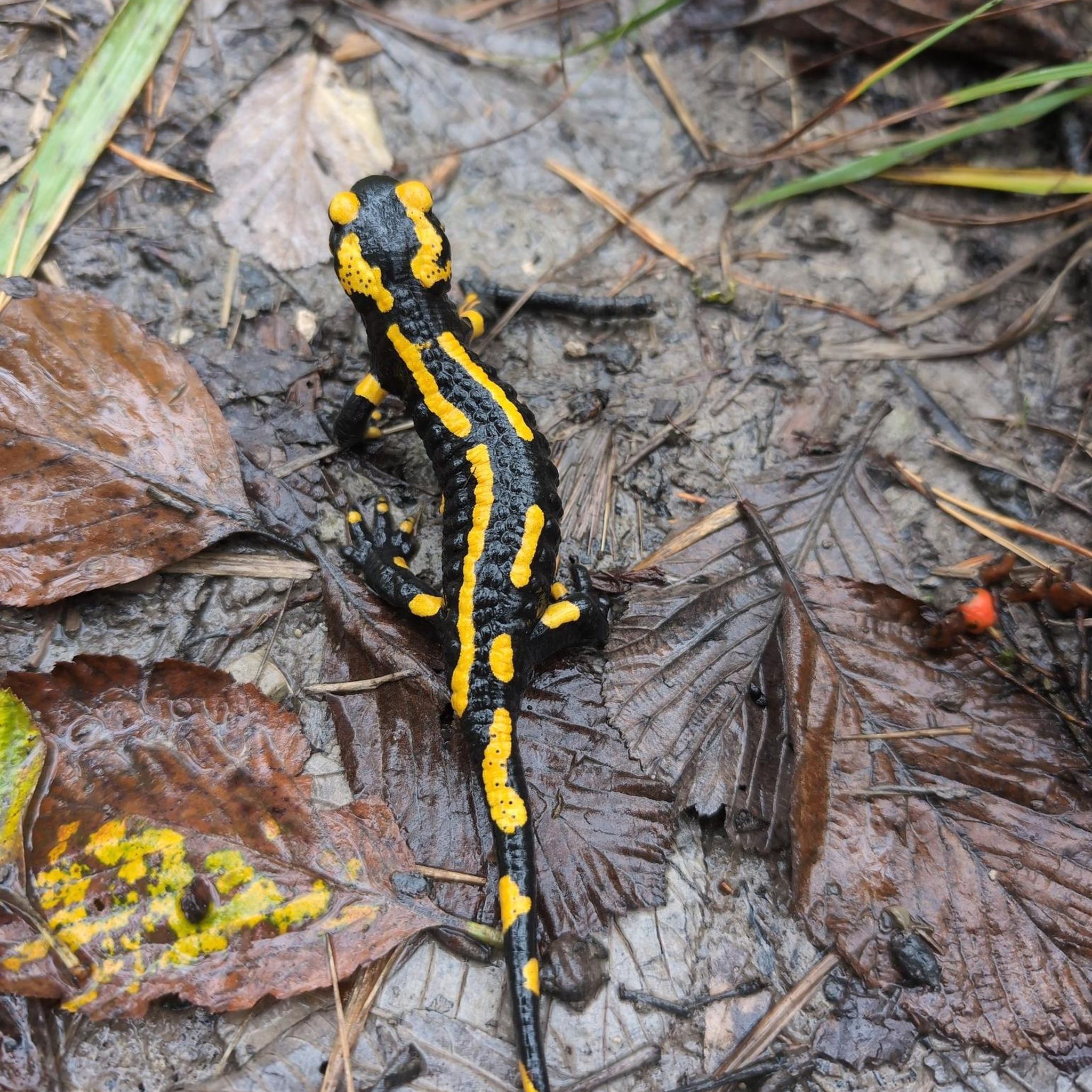
Gravel biking around Alt St Johann und Unterwasser
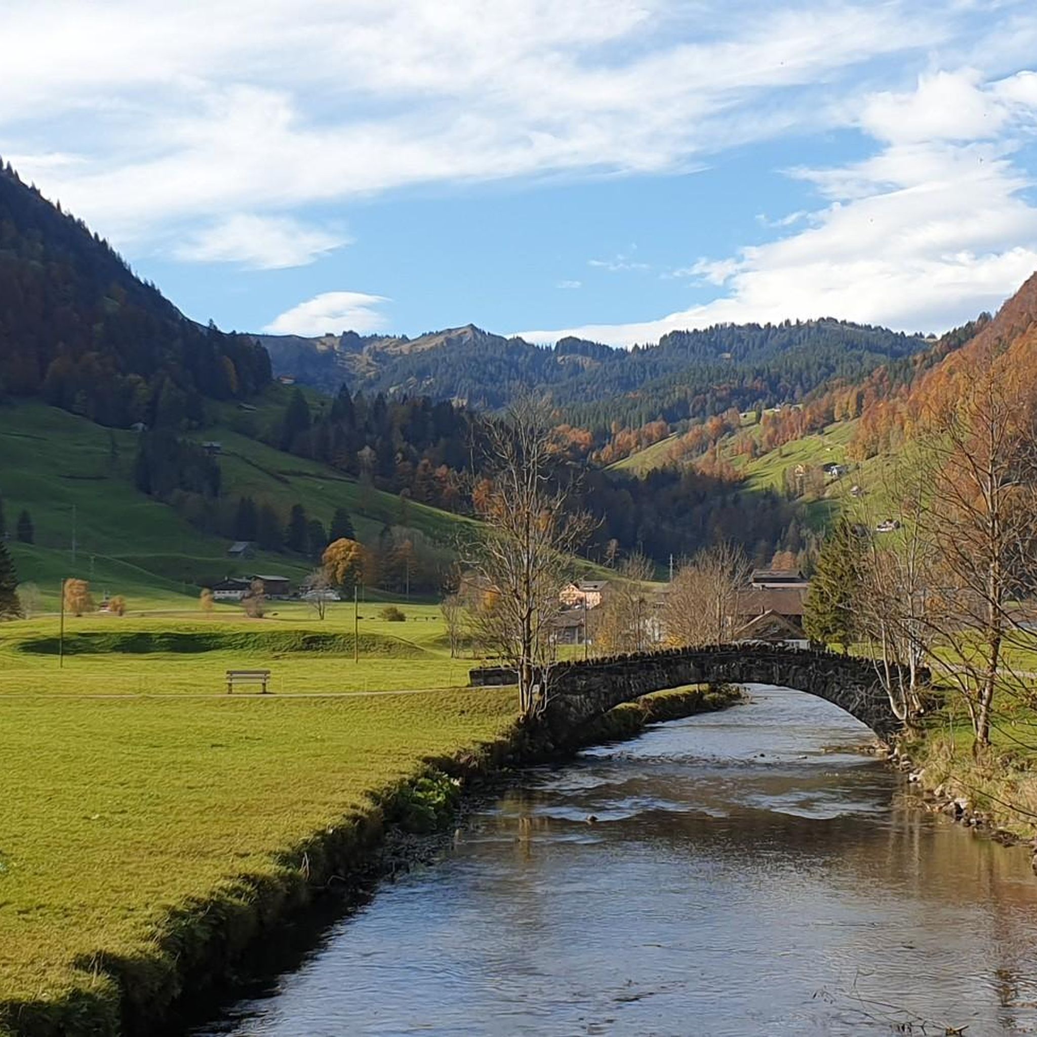
Running Trails around Alt St Johann und Unterwasser
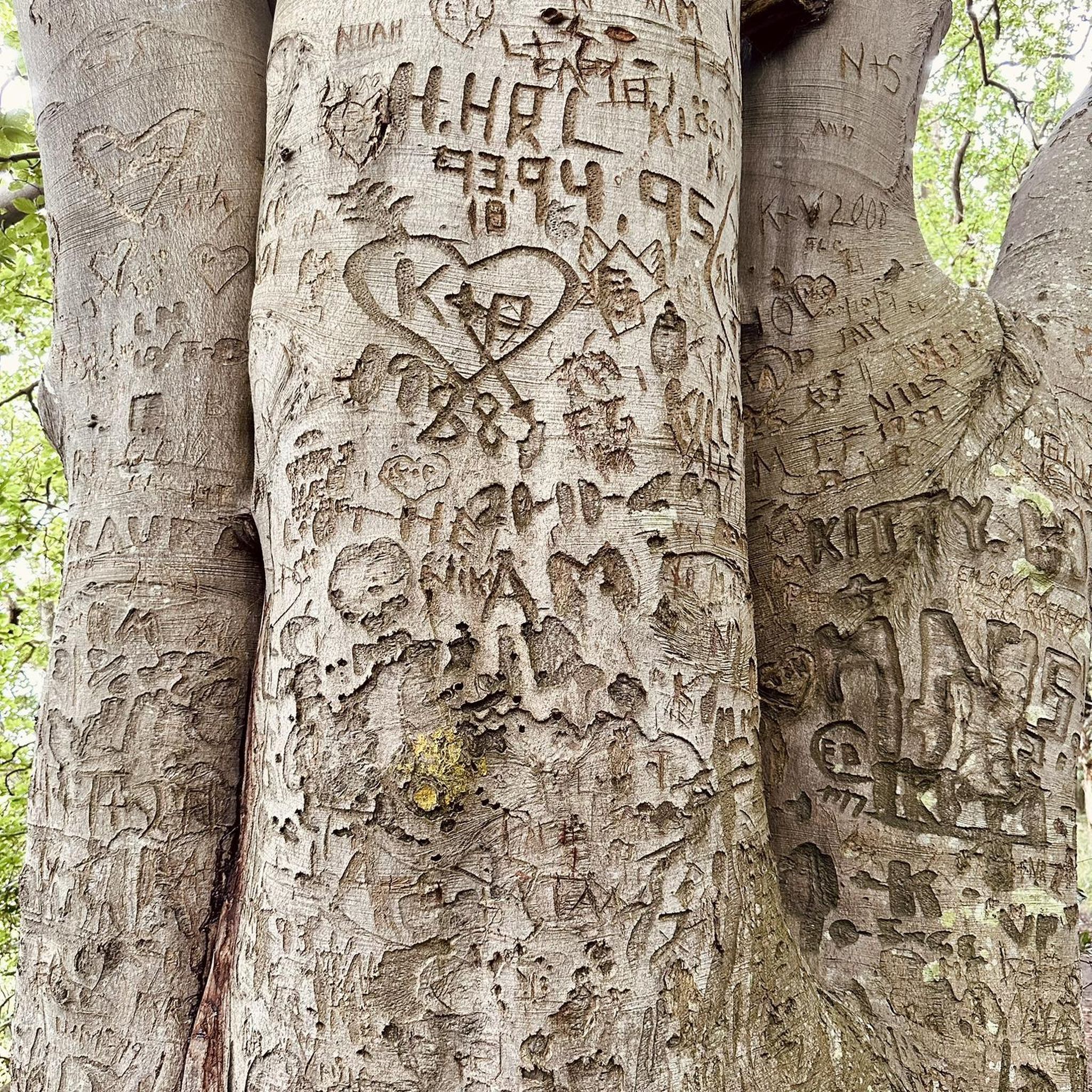
Mountain Hikes around Alt St Johann und Unterwasser
Other adventures around Alt St Johann und Unterwasser


Tips from the Community

The old Rickenstrasse leads with little traffic from Wattwil to Ricken.
0
0

A wonderful destination for a day trip and highly recommended.
0
0

The lake was artificially created to ensure a sufficient water supply in case the town caught fire. This is no longer necessary, as the fire department has more effective firefighting methods than carrying buckets. However, locals and tourists alike enjoy the lake and the town, and it makes for a very picturesque photo opportunity. A short walk around the lake, including a detour into the town, is also possible for travelers during a stopover. Parking behind the lake is free, unless an event is taking place.
0
0


It is the parliament of the Principality of Liechtenstein and consists of 25 members in one chamber. First session: 1818 Legislative term: 4 years Representatives: 25 Further information De.wikipedia.org
1
0

Very nice building at the south entrance to the pedestrian zone
5
0

A small model of the castle, nice to look at.
6
0

Schaan-Buchs Cycle and Pedestrian Bridge / Completion: 2008 A pioneering cross-border achievement / Completion: 2008 Pedestrian and cycle bridge, total length 132 m / Sidewalk width 3,500 m Pipe bridge / Pipeline bridge The steam pipeline bridge between Schaan and Buchs has been in operation for around 10 years. The energy bridge between Schaan and Buchs has been in operation for around 10 years. During this time, many businesses in the country have benefited from a CO2-neutral energy supply. The Hanno Konrad Institute was also involved as a co-initiator and designer, and we are proud that this flagship project is still attracting attention even after 10 years. Especially in times of the energy transition, such a project has played a pioneering role, and its continuous development will ensure this success story continues into the future. Text / Source: Hanno Konrad Institute, Im Rietle 13, FL-9494 Schaan https://www.konrad.li/news/eine-grenzueberschreitende-pionierleistung
14
0
Frequently Asked Questions
How many road cycling routes are available in Alt St. Johann?
There are 12 road cycling routes around Alt St. Johann and Unterwasser, offering a variety of experiences for cyclists. These routes are highly rated by the komoot community, with an average score of 4.6 stars.
What is the best time of year for road cycling in Alt St. Johann?
The ideal time for road cycling in Alt St. Johann is typically from spring through autumn. During these seasons, the alpine roads are clear of snow, and the weather is generally favorable for enjoying the stunning landscapes between the Säntis massif and the Churfirsten peaks. Winter is primarily a season for snow sports, making road cycling less feasible.
What is the general difficulty level of road cycling routes in this region?
The road cycling routes around Alt St. Johann are predominantly challenging, with 9 out of 12 routes classified as difficult. These routes feature significant elevation changes and winding roads, catering to experienced cyclists seeking demanding ascents and scenic descents. There are also 3 moderate routes available for those looking for a less intense ride.
Are there any circular road cycling routes around Alt St. Johann?
Yes, many of the routes in the region are designed as loops, allowing you to start and finish in the same location. For example, the Ascent to Vorder Höhi Pass – View of Lake Walen loop from Unterwasser (Iltiosbahn) is a popular circular route offering impressive views.
What scenic viewpoints or natural features can I expect on road cycling routes near Alt St. Johann?
Road cycling routes in Alt St. Johann offer breathtaking views of the Säntis massif, the iconic Churfirsten peaks, and the authentic Toggenburg valley. You can also encounter natural wonders like the Thur Waterfalls, which add to the scenic beauty. Routes often provide vistas of the Alpstein Massif and Lake Walen.
Are there options for public transport access to road cycling routes in Alt St. Johann?
Yes, Alt St. Johann and Unterwasser are accessible by public transport, which can be convenient for reaching starting points of routes or for combining cycling with other travel. Many routes, such as those starting from Unterwasser (Iltiosbahn), are well-situated for public transport connections.
Where can I find parking near road cycling routes in Alt St. Johann?
Parking facilities are generally available in Alt St. Johann and Unterwasser, particularly near popular starting points like the Iltiosbahn in Unterwasser. These locations serve as convenient bases for embarking on your road cycling adventures.
Are there less crowded road cycling routes available?
The region around Alt St. Johann and Unterwasser is known for its well-maintained side roads, which often provide excellent alternatives to busier country roads. While specific routes may vary in popularity, exploring these quieter options can offer a more serene cycling experience through the picturesque Toggenburg valley.
What do other road cyclists enjoy most about the routes in Alt St. Johann?
The area is highly rated by the komoot community, with an average score of 4.6 stars from over 40 reviews. Cyclists often praise the dramatic alpine scenery, the challenging yet rewarding climbs, and the diverse terrain that ranges from valley roads to mountain passes. The well-developed network of routes and the stunning natural environment are frequently highlighted.
Are there any challenging road cycling routes with significant elevation gain?
Absolutely. The region is characterized by its mountainous terrain, offering numerous challenging routes. For instance, the Ascent to Vorder Höhi Pass – View of Lake Walen loop from Unterwasser (Iltiosbahn) covers 74.1 km with an impressive 1,530 meters of elevation gain, providing a strenuous workout and spectacular views.
Are there any longer road cycling routes for endurance riders?
Yes, endurance riders will find several longer routes. The Ascent to Vorder Höhi Pass – View of Lake Walen loop from Unterwasser (Iltiosbahn) is 74.1 km long, while the View of Hemberg – View of the Churfirsten loop from Unterwasser (Iltiosbahn) spans 64.0 km, offering substantial distances for extended rides through varied terrain.
Are there places to stop for coffee or refreshments along the road cycling routes?
The Toggenburg valley features traditional Swiss villages and towns where you can find cafes and restaurants to refuel during your ride. While specific stops depend on your chosen route, the presence of local communities ensures opportunities for refreshments and breaks.
Most popular routes around Alt St Johann und Unterwasser
Most popular attractions around Alt St Johann und Unterwasser

Get inspired with the komoot mobile app


Explore more
Browse the best Road cycling routes in other regions.
