The best walks and hikes around Beltany
4.7
(27)
331
hikers
20
hikes
Hikes around Beltany explore the rolling hills of County Donegal, an area defined by its historical significance and rural landscape. The region's terrain primarily consists of pastoral land, tree-lined lanes, and low hills, with the Bronze Age Beltany Stone Circle serving as a central point of interest. The routes often involve ascents to viewpoints that provide panoramic views over the surrounding countryside, including the River Deel and River Finn valleys.
Best hiking trails around Beltany
- The most popular hiking route is Gortin Glen Forest Park via Mullaghcarn — Sperrins, a 5.6 mile (9.0 km) trail that takes about 2 hours 45 minutes to complete. This route features a significant ascent through forest parkland to the summit of Mullaghcarn.
- Another top favourite among local hiking enthusiasts is Mullagharn South Top loop — Sperrins, a moderate 4.3 mile (6.9 km) path. The trail involves a steady climb and offers expansive views from the hilltops in the Sperrins.
- Local hiking enthusiasts also love the Bessy Bell — Sperrins, a 6.8 mile (11.0 km) trail leading through open terrain, often completed in about 3 hours 15 minutes.
- Hiking around Beltany is defined by rolling hills, ancient historical sites, and paths through forest parks. The network of trails offers a mix of easy, moderate, and difficult routes suitable for various fitness levels.
- The routes in Beltany are highly rated by the komoot community with an average score of 4.7 stars from more than 20 reviews. More than 300 hikers have used komoot to explore Beltany's varied terrain.
Last updated: June 27, 2026
4.4
(5)
20
hikers
8.99km
02:47
350m
350m
Embark on a moderate hike through Gortin Glen Forest Park via Mullaghcarn, a rewarding journey spanning 5.6 miles (9.0 km) with an elevation gain of 1156 feet (352 metres). This route typically takes around 2 hours and 47 minutes to complete, guiding you from serene forest roads alongside the Pollan Burn stream to steeper, more rugged terrain as you ascend. As you climb, the path emerges onto heather-covered hillsides, leading you towards the summit of Mullaghcarn, where you will find expansive views. Be prepared for varied surfaces, including gravel, grass, and exposed rock, with potentially slippery sections when wet, so proper walking boots are recommended.
Planning your visit to Gortin Glen Forest Park is straightforward, as it offers excellent accessibility for hikers. You will find a well-maintained visitor car park, complete with information boards and toilets, making it convenient to start your adventure. The park also features a play park, which is a nice addition if you are visiting with family. Remember that while the park has many trails, the Mullaghcarn section involves physically demanding climbs, so ensure you are adequately prepared for the challenge.
This trail stands out for its unique features and stunning vistas, particularly from the summit of Mullaghcarn. Here, you can greet Darach, the Guardian of the Sperrins, a majestic giant sculpture that offers a fantastic photo opportunity and marks the peak. From this vantage point, you are treated to spectacular 360-degree panoramic views across the Glenelly valley, the Sperrins, and even into County Donegal on clear days. The park itself is a haven for wildlife, boasting a dedicated wildlife area and a deer enclosure, providing opportunities to spot red squirrels and deer.
5.0
(1)
9
hikers
6.94km
02:04
220m
220m
Embark on the Mullagharn South Top loop, a moderate hike that takes you through varied landscapes. You will cover 4.3 miles (6.9 km) and gain 728 feet (222 metres) in elevation, typically taking 2 hours and 4 minutes to complete. The trail winds from forest roads to rocky, heather-covered slopes, offering a true taste of the Sperrins. As you hike, you will pass the picturesque Pollan Burn stream and a charming waterfall within Gortin Glen Forest Park. The highlight is reaching the summit, where you are greeted by "Darach the Guardian," a unique wooden sculpture.
To begin your adventure, head to Gortin Glen Forest Park, which provides convenient car parks and facilities. While much of the route is well-maintained, be prepared for some undulating sections that can be muddy, so sturdy walking boots are essential. The final push to the summit is particularly steep, requiring good fitness and sure-footedness to navigate safely. Plan your visit during daylight hours to fully enjoy the views and ensure a comfortable return.
This loop offers a rewarding experience for hikers looking for a varied challenge within the Sperrin Mountains. From the summit, you can enjoy panoramic views across the surrounding peaks, and on a clear day, you might even spot distant landscapes in County Donegal. The presence of "Darach the Guardian" adds an artistic and memorable touch to your journey, making this trail stand out in the region.

Sign up for free
11.0km
03:16
350m
350m
Moderate hike. Good fitness required. Easily-accessible paths. Suitable for all skill levels.
4.6
(11)
136
hikers
Moderate hike. Good fitness required. Easily-accessible paths. Suitable for all skill levels.
5.0
(3)
37
hikers
4.73km
01:27
170m
170m
Easy hike. Great for any fitness level. Easily-accessible paths. Suitable for all skill levels.
Get access to more routes and recommendations from other explorers.
Sign up for free
Already have an account?
Our route recommendations are based on thousands of hikes, rides, and runs completed by other people on komoot.
Start today with a free account
Your next adventure awaits.
Login or Signup
Popular around Beltany
Tips from the Community

Breathtaking view of the Sperrins after a steady climb.
0
0

Sculpture of a giant made from wood, great fun for the kids, but it’s pretty steep getting up there for little ones.
0
0

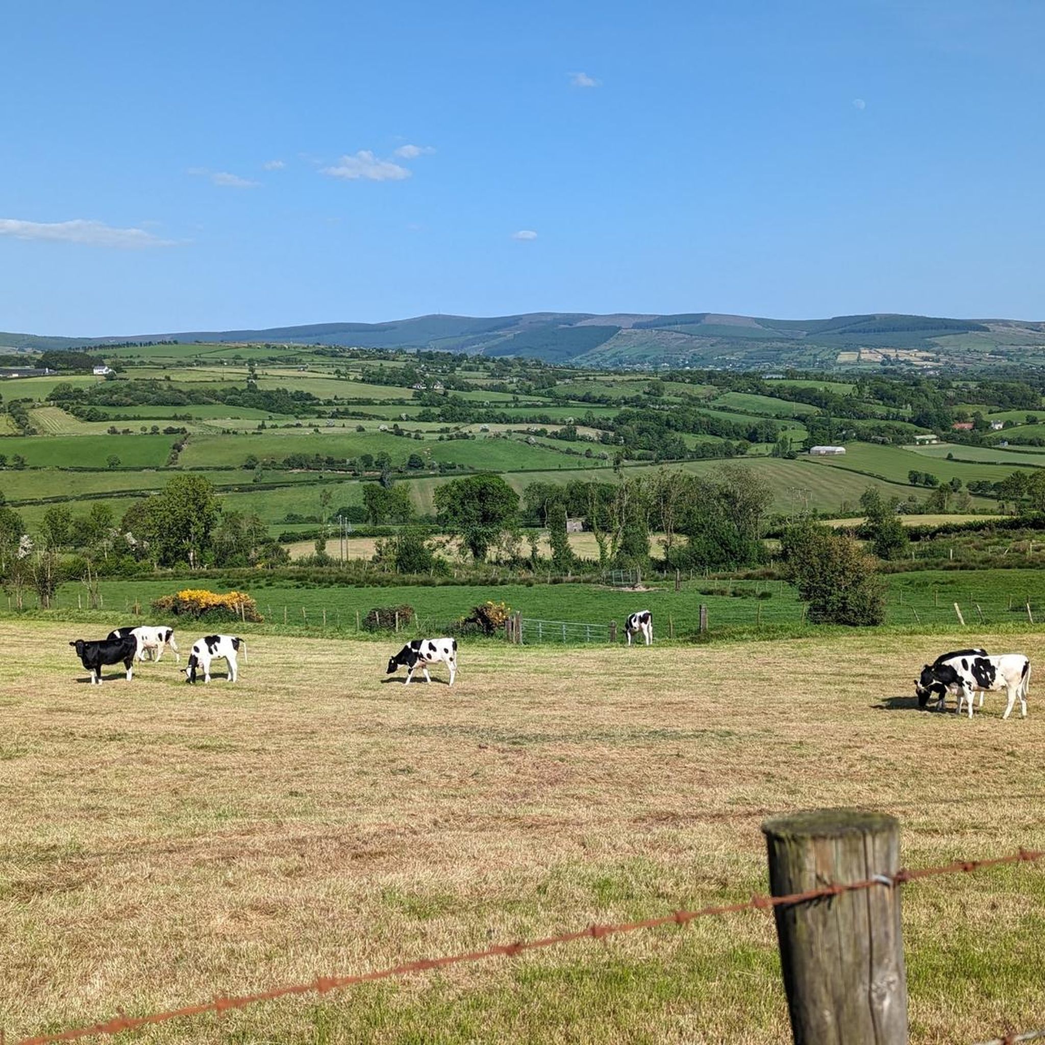
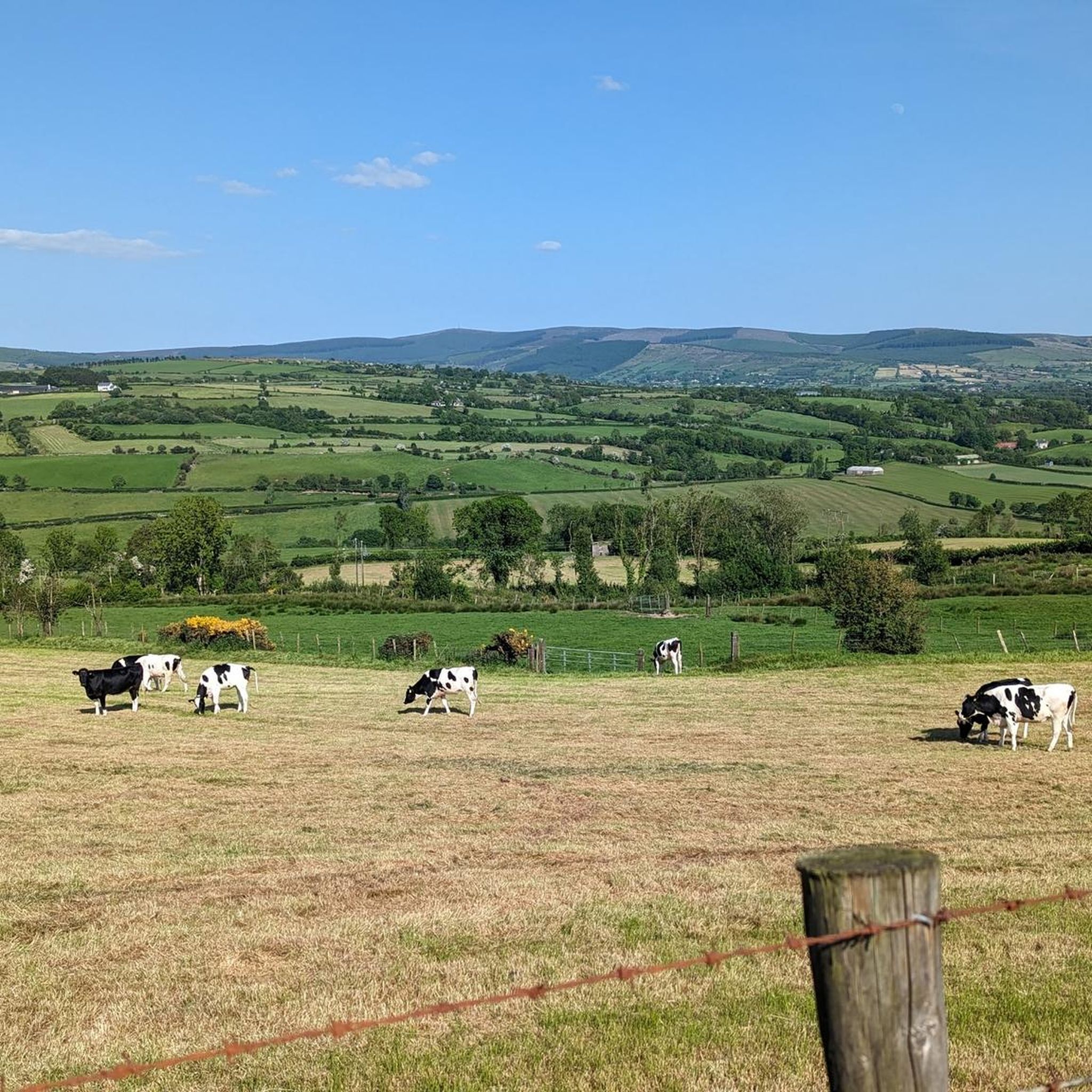
This quiet country lane located at the foothills of Bessy Bell hilltop is a picturesque location for a stroll. Enjoy wonderful scenery of farmland and streams, and the mountaineous landscape of the Sperrins in the distance.
1
0
Bessy Bell is a small, rounded mountain situated not too far from Omagh that boasts wonderful views of the Sperrins to the east. On a clear day, the views stretch as far as the Derg Valley and the hills of Donegal, as well as all the way over to Errigle.
1
0
This is the entrance to the wonderful Gortin Glen Forest Park. There is a space to the right as you approach the entrance where you can leave your car, and an information board next to the gate detailing some pointers about the area.
2
0
On this winding forest path through Gortin Glen Forest Park you are subject to some glorious views across towering coniferous woodland toward Mullagharn South Top, Timurty Hill, and Rylagh Top.
2
0
Turn off here to visit a hidden waterfall deep in the Gortin Glen Forest Park.
2
0

From this viewpoint you gain spectacular views of the Sperrins mountain range. Mullagharn is the most southerly peak resulting in a great perspective to take in the rest of the range.
0
0
Frequently Asked Questions
What is the terrain like on the trails around Beltany?
The hikes in this region typically feature rolling hills, pastoral land, and atmospheric, tree-lined lanes known as 'boreens'. Many paths involve a gradual ascent on uneven ground to reach viewpoints. While the main walk to the stone circle is short, other trails in the area, like those in the Sperrins, can involve more rugged, open terrain.
Are there any easy, family-friendly hikes in the area?
Yes, there are several easier options suitable for families. The walk to the Beltany Stone Circle itself is a short, manageable ascent. For a slightly longer but still accessible outing, the Hiking loop from Gortin is a pleasant 4.7 km trail. Additionally, nearby Oakfield Park offers miles of gentle walking paths through gardens and woodlands.
Are dogs allowed on the trails near Beltany?
Dogs are generally welcome on many public paths, but they must be kept on a leash, especially as trails often pass through farmland with livestock. At the Beltany Stone Circle site, it's requested that dogs are kept on a lead to protect the monument and respect other visitors. Always check specific regulations for forest parks or private estates before you go.
How difficult are the hikes around Beltany?
The difficulty varies. There are over 20 trails in the region, with a good mix for all abilities. About half are rated as easy, perfect for casual walkers. The other half are moderate, like the Mullagharn South Top loop — Sperrins, which involves a steady climb. There are also a couple of difficult routes for those seeking a greater challenge.
Where can I park to access the trails?
For the Beltany Stone Circle, there is a small, designated car park at the bottom of the lane leading to the site. For other hikes in the region, such as those in Gortin Glen Forest Park, you will find dedicated car parks at the main trailheads. It's always a good idea to arrive early, especially on weekends, as spaces can be limited.
Are there any circular or loop trails available?
Yes, many of the popular routes in the area are loops, allowing you to enjoy a varied walk without retracing your steps. A great example is the Gravel Path to Mullaghcarn – Darach the Guardian Sculpture loop from Gortin, which offers a comprehensive experience of the forest park.
What is the historical significance of the Beltany Stone Circle?
The Beltany Stone Circle is a major Bronze Age monument, making it one of the most significant in Ireland. Its name is believed to derive from 'Bealtaine', the ancient Celtic fire festival celebrating the start of summer. This suggests the site was a place of ritual and seasonal importance for thousands of years. For more details on its heritage, you can visit the Heritage Ireland page.
Which hikes offer the best views?
The hilltop location of the Beltany Stone Circle provides a stunning 360-degree panorama of the surrounding countryside, including views towards Croaghan Hill and the River Finn valley. For more expansive mountain scenery, the Bessy Bell — Sperrins trail is known for its wide-open vistas across the landscape.
What do other hikers enjoy most about the Beltany region?
The area is highly rated by the komoot community, with an average score of 4.7 stars. Hikers often praise the unique combination of a scenic walk with a world-class archaeological site. The panoramic views from the hilltops and the peaceful, rural atmosphere are frequently mentioned as highlights.
What should I pack for a hike in Beltany?
Sturdy, waterproof footwear is essential as paths can be uneven, muddy, and boggy in places, especially after rain. It's also wise to bring layered clothing, including a waterproof jacket, as the weather in County Donegal can change quickly. Pack water and some snacks, particularly for the longer trails in the Sperrins where facilities are sparse.
How long does the walk to the Beltany Stone Circle take?
The walk from the car park up the lane to the stone circle itself is quite short, typically taking about 15-20 minutes each way. It's a steady incline, so allow a little extra time if you prefer a more leisurely pace to enjoy the atmospheric path.
Are the trails accessible by public transport?
Accessing the trailheads directly via public transport can be challenging as most are in rural locations. The nearest town to Beltany Stone Circle is Raphoe. It's generally recommended to travel by car to have the flexibility to reach the various starting points for hikes in the region.
Most popular routes around Beltany
Most popular attractions around Beltany

Get inspired with the komoot mobile app


Explore more
Browse the best Hikes in other regions.
