The best running trails around Baltmannsweiler
4.4
(1442)
18,447
runners
17
runs
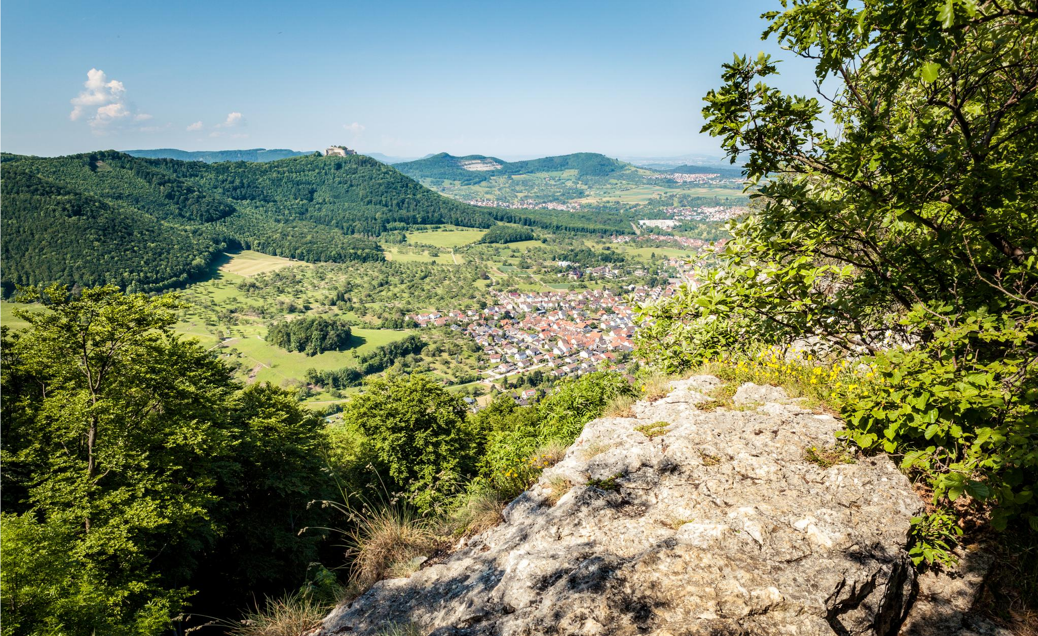
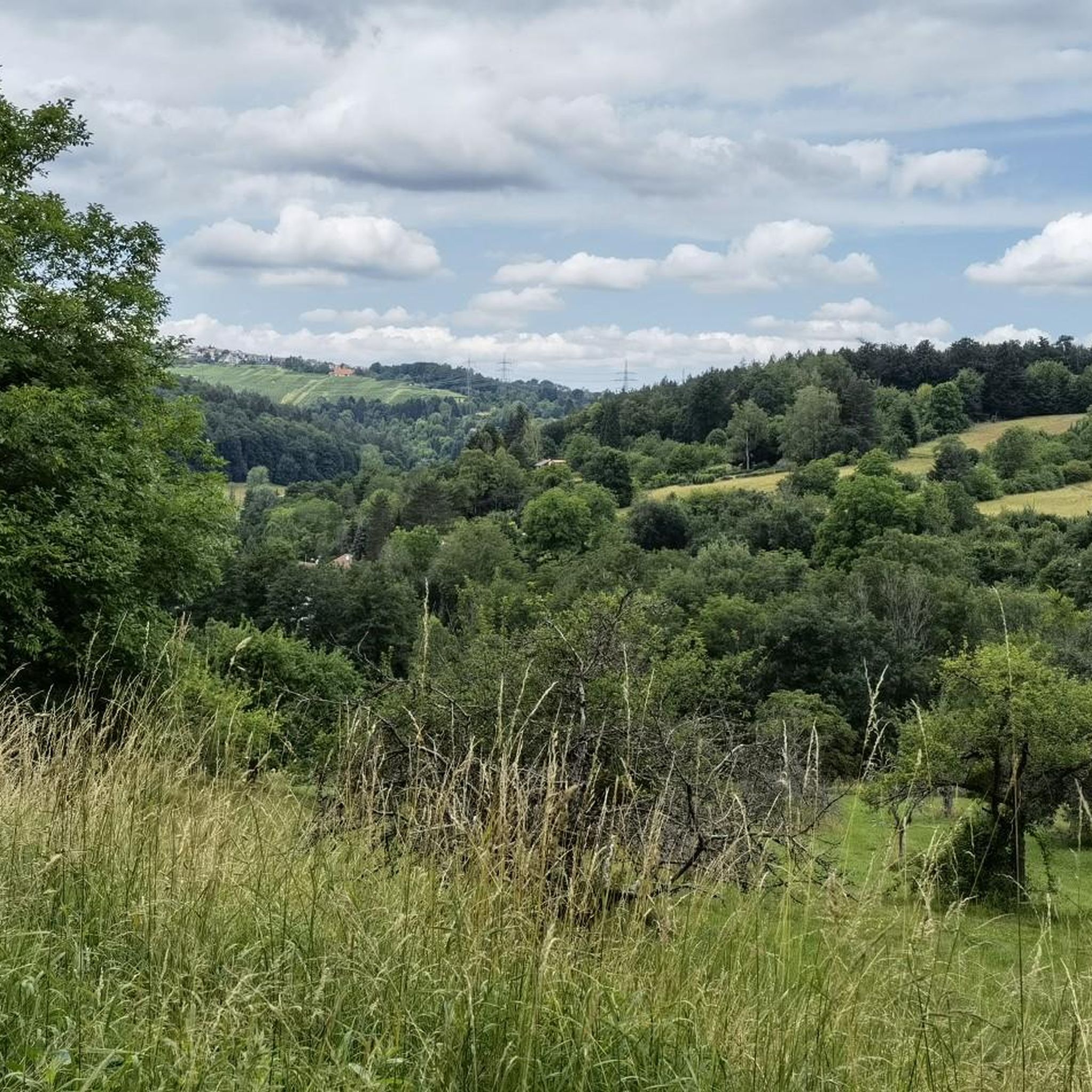
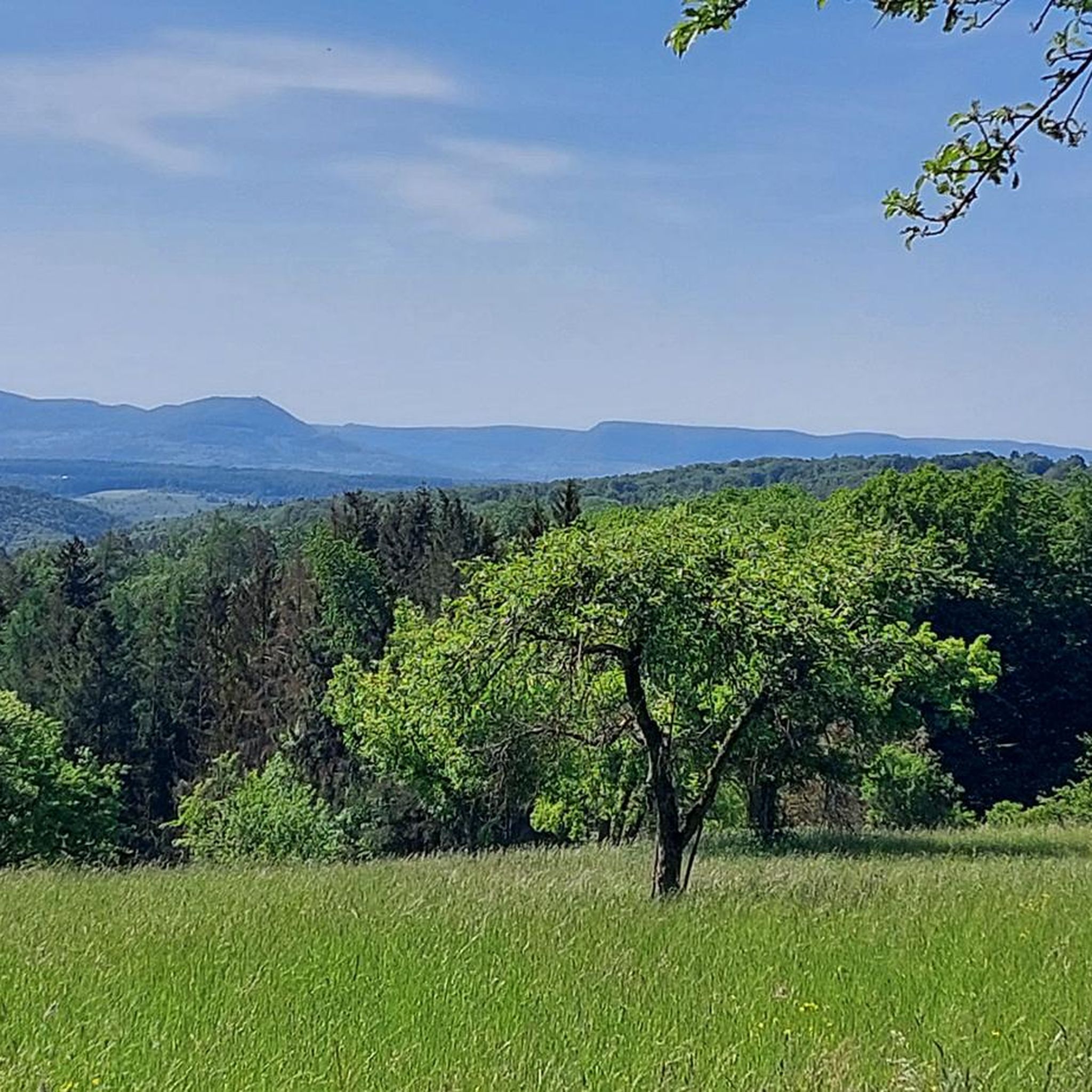
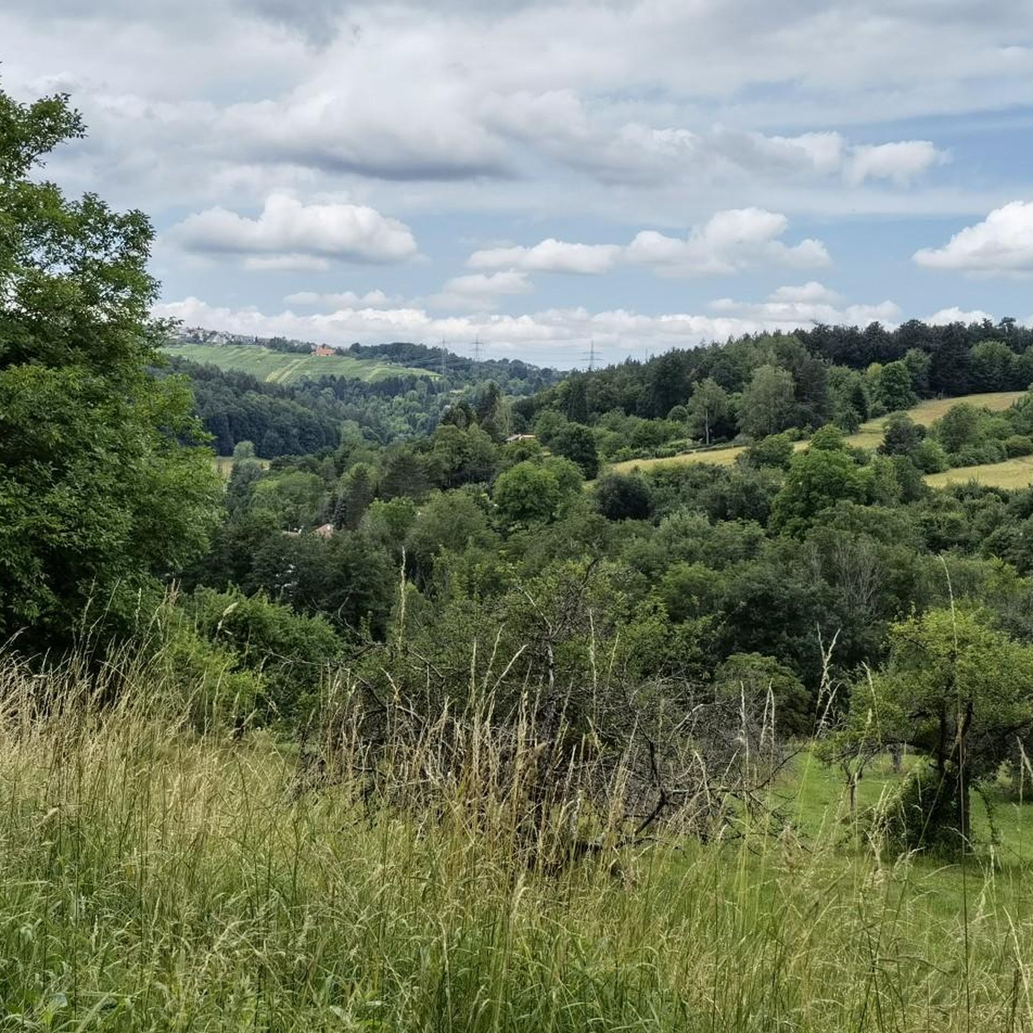
Jogging around Baltmannsweiler offers diverse routes through a landscape characterized by rolling hills, idyllic valleys, and the extensive Schurwald Forest. The region features well-maintained paths that traverse forests, fields, and orchards, providing varied terrain for runners. Numerous streams, such as the Breitenbach and Reichenbach, also offer easier, flatter paths. This natural setting provides a compelling environment for outdoor activities, particularly running.
Best jogging routes around Baltmannsweiler
- The most popular jogging route is Eiserne Hand Monument – Wilhelmasaat Giant Sequoia loop…
Last updated: July 1, 2026
4.0
(1)
66
runners
Hard run. Very good fitness required. Mostly paved surfaces. Suitable for all skill levels.
5.0
(2)
46
runners
Moderate run. Good fitness required. Mostly paved surfaces. Suitable for all skill levels.

Sign up for free
19
runners
7.72km
00:48
60m
60m
Moderate run. Good fitness required. Mostly paved surfaces. Suitable for all skill levels.
20
runners
6.05km
00:38
30m
30m
Moderate run. Good fitness required. Mostly paved surfaces. Suitable for all skill levels.
5.0
(2)
18
runners
6.58km
00:41
50m
50m
Moderate run. Good fitness required. Mostly paved surfaces. Suitable for all skill levels.
Get access to more routes and recommendations from other explorers.
Sign up for free
Already have an account?
Our route recommendations are based on thousands of hikes, rides, and runs completed by other people on komoot.
Start today with a free account
Your next adventure awaits.
Login or Signup
Other adventures around Baltmannsweiler

Tips from the Community

A lovely barbecue and picnic area in the forest!
2
0

The last remains of the royal hunting lodge.
1
0

Barbecue area with new barbecue area
1
0

The relatively flat Kaisersträßle stretches for many kilometers across the Schurwald and connects Baltmannsweiler, AichSchieß with the Esslingen Jägerhaus.
4
0
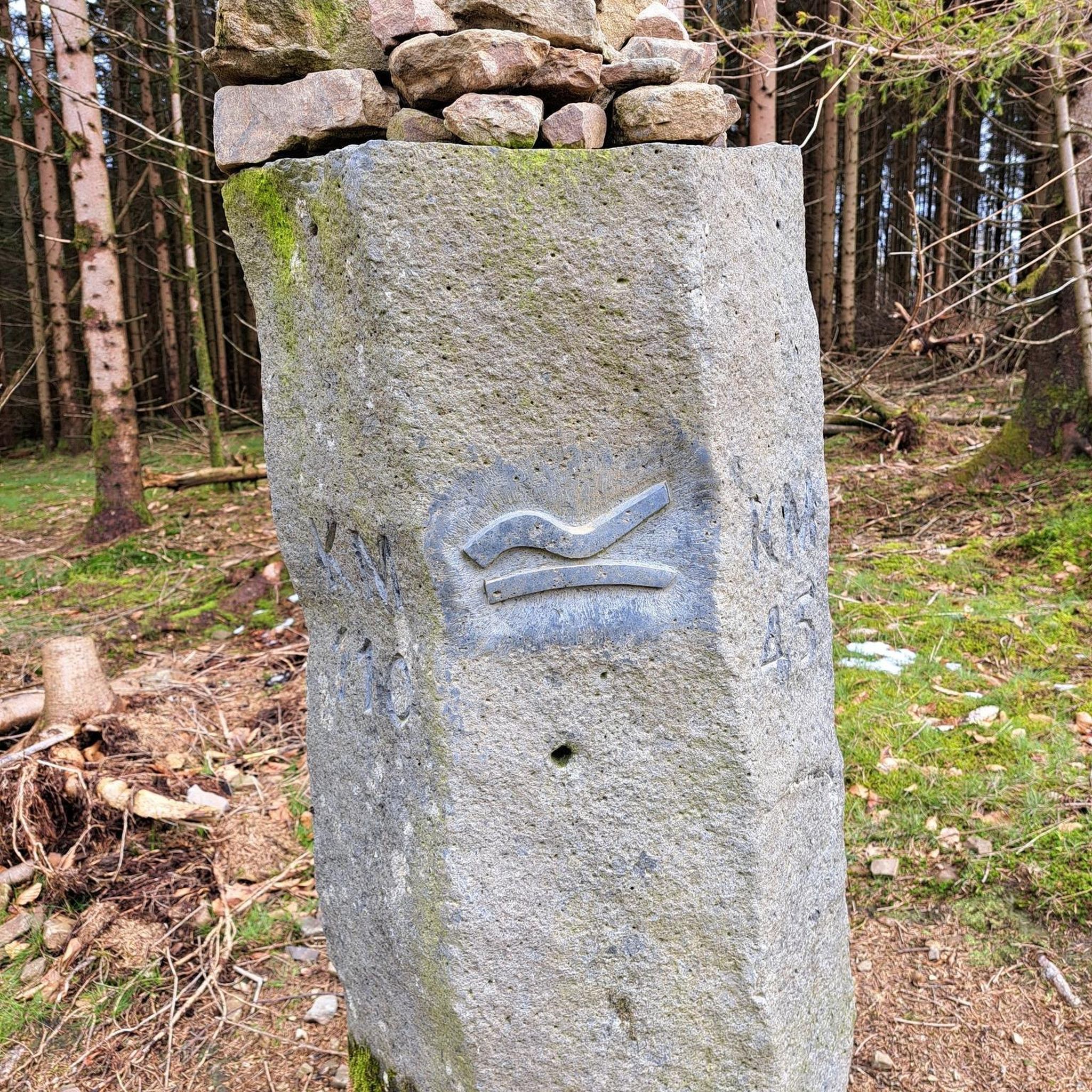
The Iron Hand Monument stands on the former Roman road over the Schurwald. The stone bench with the possibility to place a load on your back is a reminder of this.
4
0

Nice barbecue area next to the 4 mamut trees.
0
0

Exactly 150 years ago, thousands of giant sequoia trees were planted in the former kingdom on the initiative of King Wilhelm I of Württemberg. The tiny seeds have long since grown into stately trees, which can also be found in several locations in the Esslingen district.
0
0

The width and size are pretty impressive.
0
0
Frequently Asked Questions
How many running routes are available around Baltmannsweiler?
There are over 15 dedicated running routes around Baltmannsweiler, catering to various fitness levels. These trails explore the diverse landscape of the Schurwald forest, rolling hills, and scenic valleys.
What kind of terrain can I expect on the jogging trails in Baltmannsweiler?
The jogging trails in Baltmannsweiler offer a varied terrain, predominantly through the extensive Schurwald Forest, fields, and orchards. You'll find well-maintained paths, some with gentle ascents and descents, and flatter sections along streams like the Breitenbach and Reichenbach. Surfaces are generally suitable for running, often consisting of forest paths and gravel.
Are there any easy running routes suitable for beginners or a relaxed jog?
Yes, Baltmannsweiler offers several easier paths. For a shorter, less strenuous run, consider routes along the Breitenbach stream, such as the 4.32 km path near Grillplatz Baach. The local chapter of the Swabian Alb Association has also marked several circular trails ranging from five to ten kilometers that are generally well-maintained and suitable for various skill levels.
Can I find longer or more challenging running trails in the area?
Absolutely. For those seeking a more challenging run, Baltmannsweiler has routes with greater distances and elevation changes. An example is the difficult 19.0 km Eiserne Hand Monument – Wilhelmasaat Giant Sequoia loop from Baltmannsweiler, which features varied forest terrain and passes impressive Giant Sequoias. Another demanding option is the 22.3 km Plochingen High Ropes Park – Wilhelmasaat Giant Sequoia loop from Baltmannsweiler.
Are there any circular running routes around Baltmannsweiler?
Yes, many of the running routes in Baltmannsweiler are circular. The local chapter of the Swabian Alb Association has marked six circular hiking trails around Baltmannsweiler, ranging from five to ten kilometers, all starting and ending at the Kultur- und Sportzentrum's parking lot. A popular moderate option is the 7.7 km Schlösslesmauer loop from Baltmannsweiler, which leads through forested areas.
What interesting natural landmarks or sights can I see while running in Baltmannsweiler?
You can discover several unique natural landmarks. Many routes traverse the Schurwald Forest, offering panoramic views. Keep an eye out for the impressive Four Giant Sequoias near Gschlägwiese. You might also encounter the Baacher Tümpel Wetland Biotope along the Breitenbach stream, or the unique Bannwald Schachen Information Point with Carved Tree Faces. For a scenic highlight, consider visiting the Grunbach Waterfall.
Are the running trails in Baltmannsweiler dog-friendly?
Generally, the natural trails and forest paths around Baltmannsweiler are suitable for running with dogs. However, it's always recommended to keep your dog on a leash, especially in forested areas and near wildlife, and to respect local regulations regarding pets on trails. The varied terrain and extensive forest offer a great environment for you and your canine companion.
What do other runners enjoy most about jogging in Baltmannsweiler?
The running routes in Baltmannsweiler are highly rated by the komoot community, with an average score of 4.4 stars from over 1400 reviews. Runners often praise the diverse and scenic natural environment, particularly the peacefulness of the Schurwald Forest, the well-maintained paths, and the variety of routes suitable for different fitness levels.
Are there any running routes that pass by the Giant Sequoias?
Yes, the impressive Giant Sequoias near Gschlägwiese are a notable feature in the area. You can incorporate them into your run with routes like the 12.2 km Wilhelmasaat Giant Sequoia – Schlösslesmauer loop from Baltmannsweiler, which winds through the forest and offers views of the surrounding natural landscape.
Are there good options for parking near the running trails in Baltmannsweiler?
Yes, many running routes in Baltmannsweiler offer convenient parking. For instance, the six circular hiking trails marked by the Swabian Alb Association all start and end at the Kultur- und Sportzentrum's parking lot. Additionally, routes like the Gschläg Trailhead Parking Loop suggest dedicated parking facilities, making it easy to access the trails.
What are the best seasons for jogging in Baltmannsweiler?
Baltmannsweiler offers excellent jogging conditions throughout much of the year. Spring and autumn are particularly pleasant, with mild temperatures and beautiful foliage in the Schurwald Forest. Summer mornings and evenings are also ideal to avoid the midday heat. Even in winter, many well-maintained paths remain accessible, offering a serene running experience through the snow-dusted landscape.
Most popular routes around Baltmannsweiler
Most popular attractions around Baltmannsweiler

Get inspired with the komoot mobile app


Explore more
Browse the best Running Trails & Routes in other regions.
